Elevation of Lowgill, Kendal LA8 0BN, UK
Location: United Kingdom > Cumbria >
Longitude: -2.581347
Latitude: 54.367139
Elevation: 146m / 479feet
Barometric Pressure: 100KPa
Elevation Map:
Satellite Map:
Related Photos:
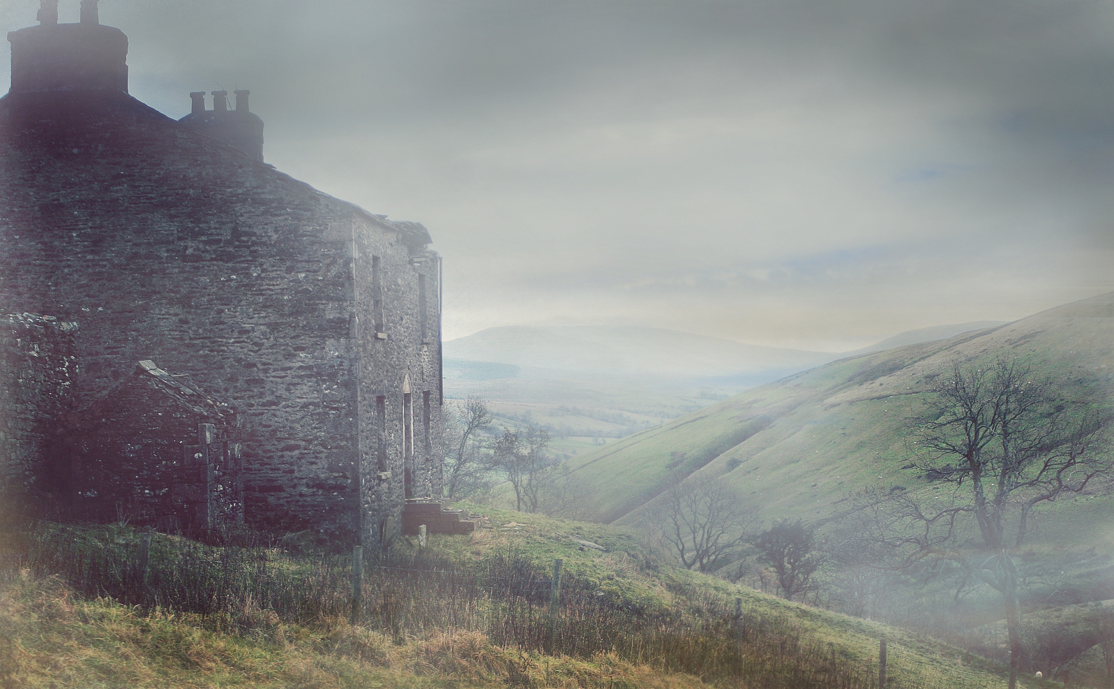
Mountain View Farm

Sizergh Castle and garden
Wild Boar Fell

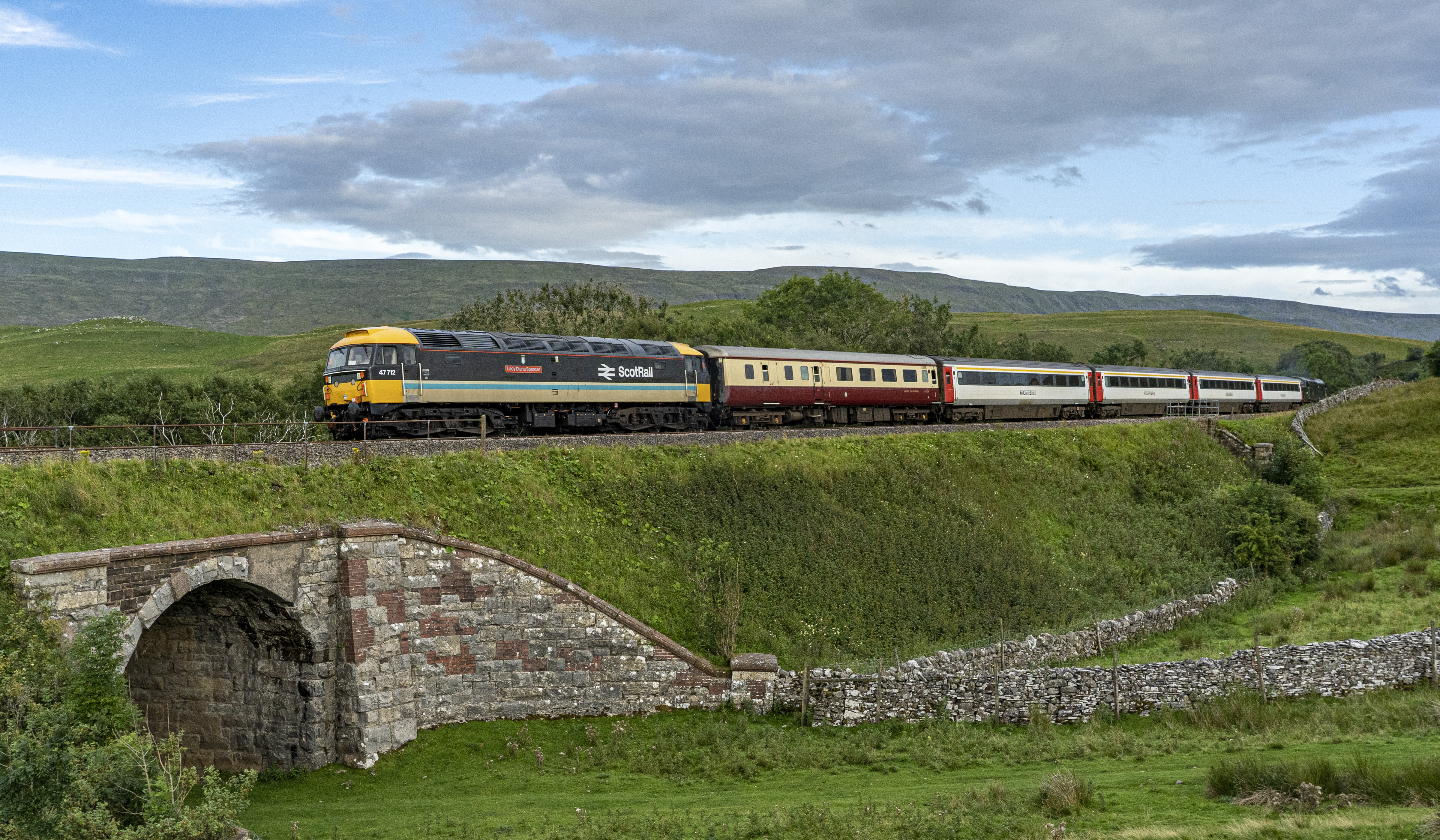
47712 Birkett Common

'Classic' Shap Wells

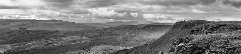
The Nab Panorama
47712 Birkett Common

The churchyard in Dent, Yorkshire Dales (Explored)

Sizergh Castle Rock Garden

Dent, Cumbria

Late 17C cottages, Dent, Yorkshire Dales (Explored)

Borrowdale, Lake District National Park near Tebay, Cumbria, UK

Lake District

Looking south (SSE) from Calders, Brant Fell, Howgill Fells near Sedbergh, Yorkshire Dales National Park, Cumbria, UK

Hidden valley

Walking in snow on Bram Rigg Top, Brant Fell, Howgill Fells near Sedbergh, Yorkshire Dales National Park, Cumbria, UK

Cawley Spout

North-west from Rowantree Grains in snow, Brant Fell, Howgill Fells near Sedbergh, Yorkshire Dales National Park, Cumbria, UK

VIEWING PLATFORM, KILLINGTON LAKE.

White Birks Common

Uldale Force, River Rawthey, Yorkshire Dales National Park, Cumbria, UK

No show

The Lake District

View from just outside a Hotel door. 16

Wye garth.

blossom and buttercups

45699 At Smardale Curve. 24/02/2018

View of a Hotel. 16

Smardale Gill national nature reserve.

They're off!

Little Wold

Railway Splender.

The Old Scotch Road

Cautley Crag, Sedbergh, Cumbria, England, UK

Last of the last

45407 Crossing Smardale Viaduct 21/10/2000

Aisgill Moor Cottages

Howgill Fells Panorama
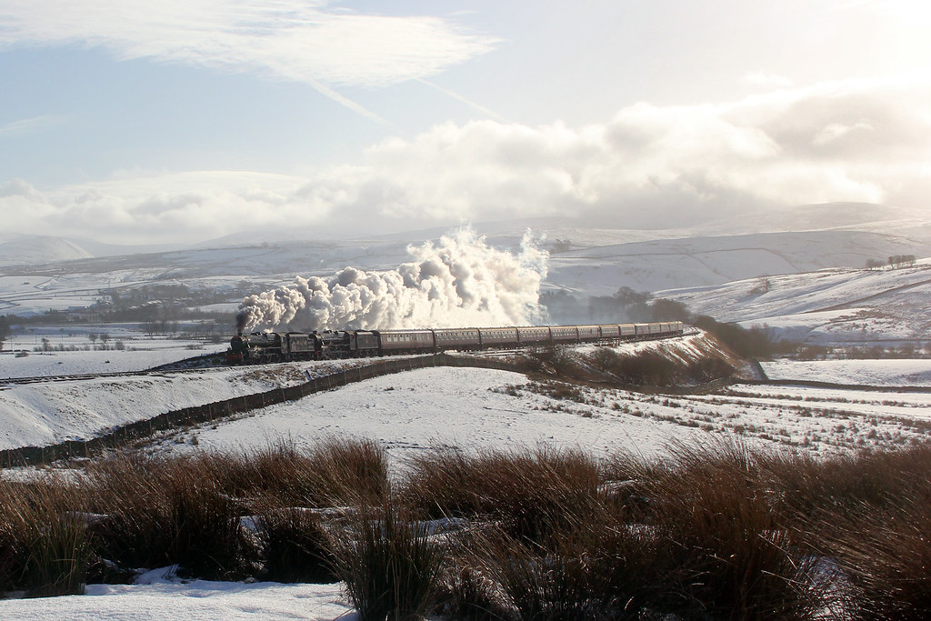
Winter wonderland on Shap

Digitalis & Wild Boar Fell
Topographic Map of Lowgill, Kendal LA8 0BN, UK
Find elevation by address:

Places near Lowgill, Kendal LA8 0BN, UK:
1 Lily Garth Cottages, Roundthwaite, Penrith CA10 3XU, UK
Roundthwaite
Sedbergh
Middleton Hall
Cautley Spout
Middleton
Orton
Cautley
La10 5ly
La10 5qh
Gawthrop
Newbiggin-on-lune
Ravenstonedale
Oddendale Cottage
1 Helmside Gardens, Oxenholme, Kendal LA9 7HN, UK
Dent
Dale Nook
Oxenholme
Crosby Ravensworth
72 Archers Meadow, Kendal LA9 7DY, UK
Recent Searches:
- Elevation of Corso Fratelli Cairoli, 35, Macerata MC, Italy
- Elevation of Tallevast Rd, Sarasota, FL, USA
- Elevation of 4th St E, Sonoma, CA, USA
- Elevation of Black Hollow Rd, Pennsdale, PA, USA
- Elevation of Oakland Ave, Williamsport, PA, USA
- Elevation of Pedrógão Grande, Portugal
- Elevation of Klee Dr, Martinsburg, WV, USA
- Elevation of Via Roma, Pieranica CR, Italy
- Elevation of Tavkvetili Mountain, Georgia
- Elevation of Hartfords Bluff Cir, Mt Pleasant, SC, USA