Elevation of Orton, Penrith CA10, UK
Location: United Kingdom > Cumbria >
Longitude: -2.5811681
Latitude: 54.468185
Elevation: 234m / 768feet
Barometric Pressure: 99KPa
Elevation Map:
Satellite Map:
Related Photos:

47712 Birkett Common

'Classic' Shap Wells

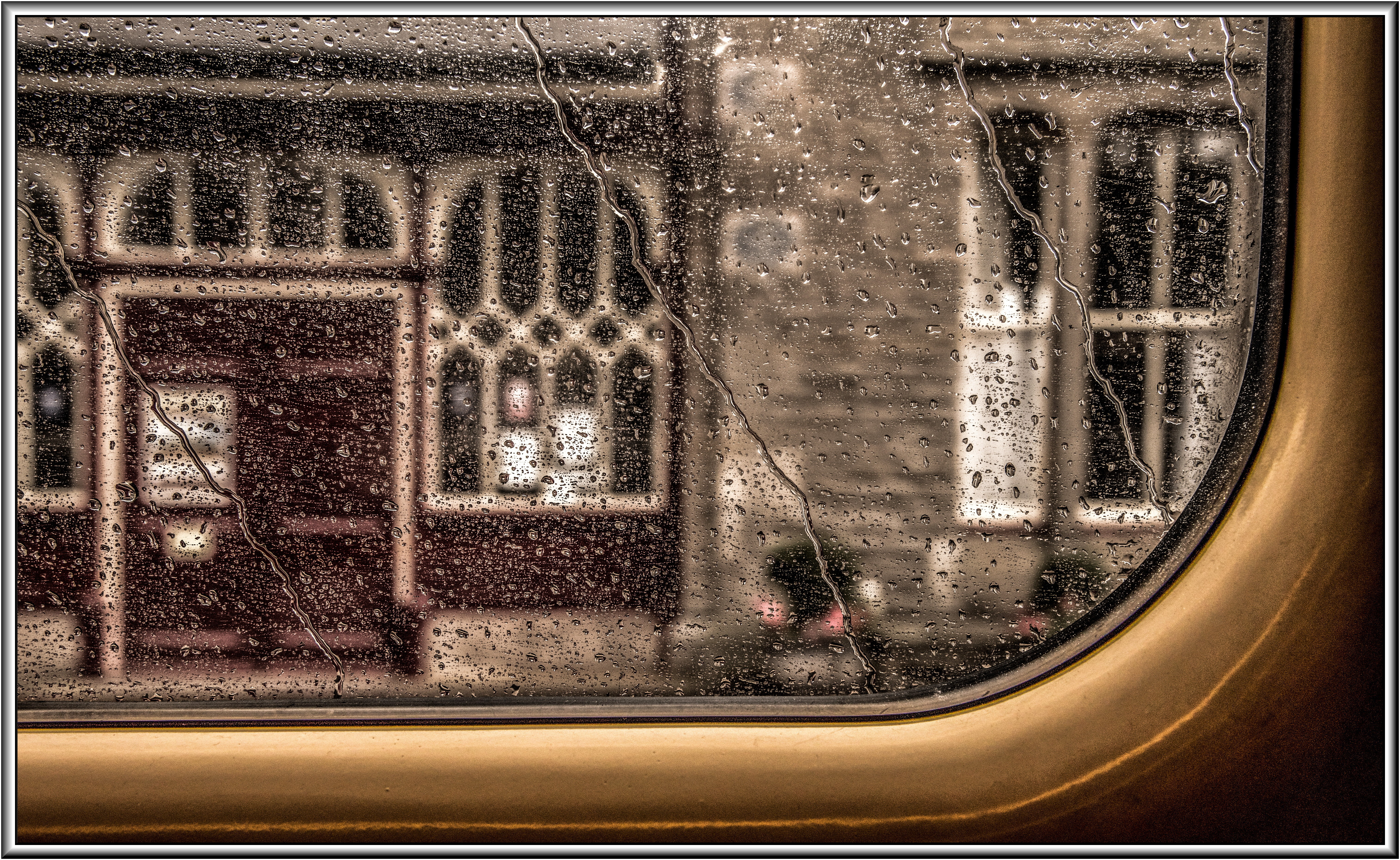
Abbey Bridge
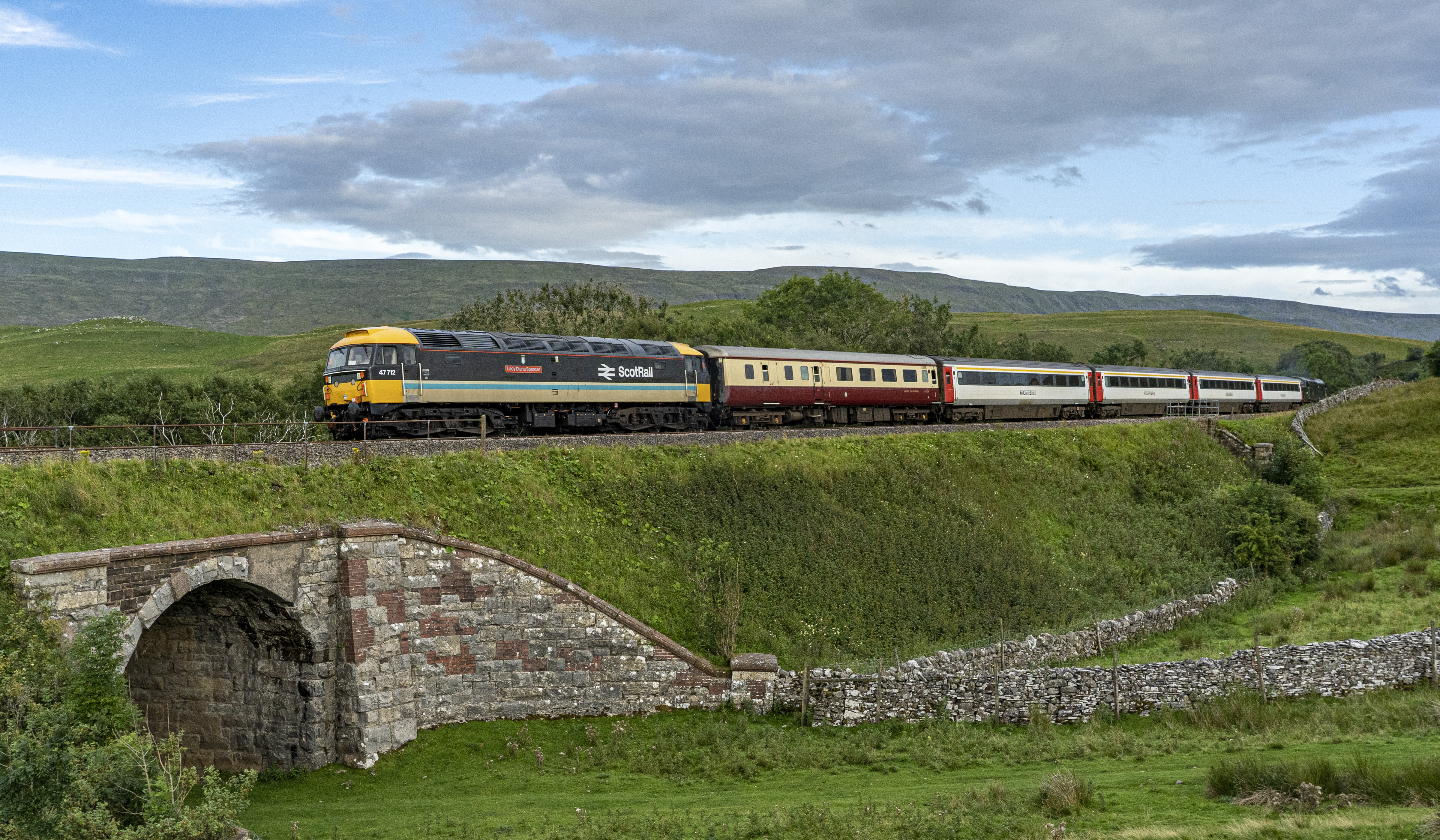
47712 Birkett Common

Mardale Beck

Harter Fell

Haweswater Reservoir

Haweswater.

Lay-by

Heaven is a place on earth

Rain over Haweswater in the Lake District
S&C in August

Mardale Beck

Borrowdale, Lake District National Park near Tebay, Cumbria, UK

Looking south (SSE) from Calders, Brant Fell, Howgill Fells near Sedbergh, Yorkshire Dales National Park, Cumbria, UK

Lake District

English Country Lane at Drybeck, Cumbria,England.

Haweswater, Cumbria, England

Walking in snow on Bram Rigg Top, Brant Fell, Howgill Fells near Sedbergh, Yorkshire Dales National Park, Cumbria, UK

Cawley Spout
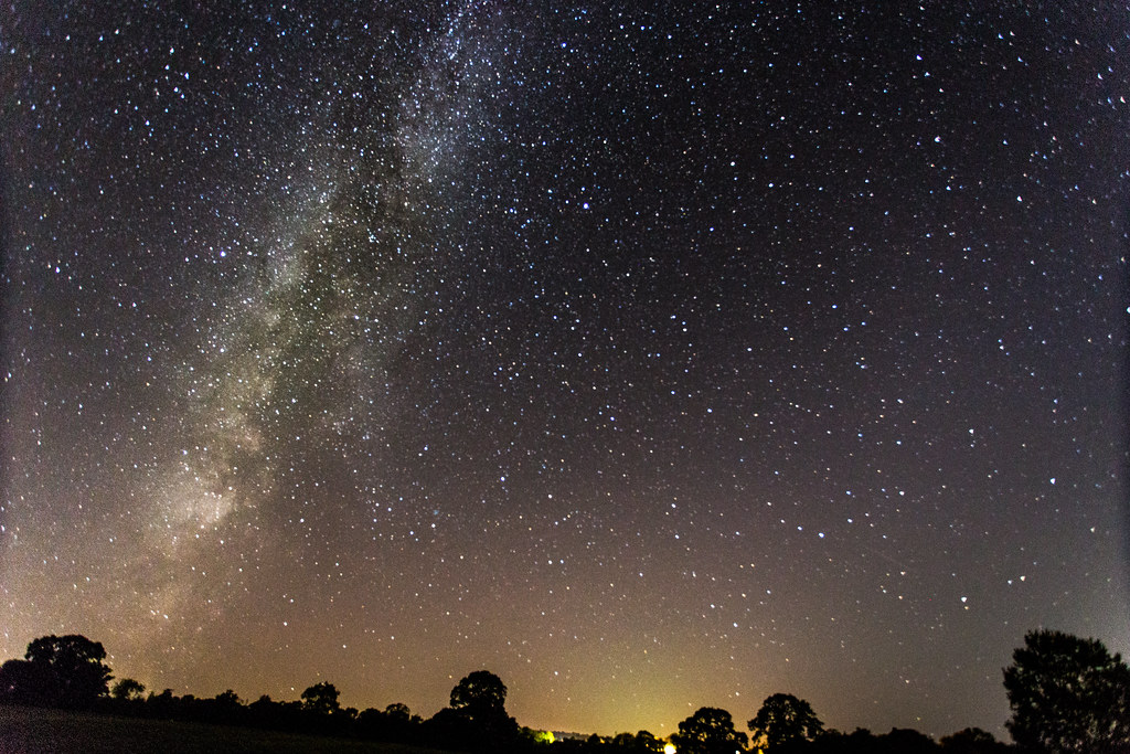
Milky Way viewed from Great Strickland, Cumbria

The Lake District

Rutter Falls Great Asby Appleby Cumbria

View from just outside a Hotel door. 16

West Haweswater Panorama

Maulds Meaburn Village Cumbria

Stars Over Haweswater

Harter fell.

Haweswater Reservoir

On The Rocks

Wye garth.

Smardale Gill national nature reserve.

They're off!

View of a Hotel. 16

Morning Reflections.

Lincoln's Inn bridge

The Old Scotch Road

The Rigg - Haweswater

Cautley Crag, Sedbergh, Cumbria, England, UK

Towards Cleft Ghyll at the head of Longsleddale
Topographic Map of Orton, Penrith CA10, UK
Find elevation by address:

Places near Orton, Penrith CA10, UK:
Roundthwaite
1 Lily Garth Cottages, Roundthwaite, Penrith CA10 3XU, UK
Dale Nook
Crosby Ravensworth
Oddendale Cottage
Lowgill
Ca10 3le
Ca10 3lp
Crook View
Shap
Newby Beck
Newbiggin-on-lune
Cautley Spout
Ravenstonedale
Dallan Bank
Ca16 6jw
Sedbergh
Rosgill
Kirkby Thore
Ravenstonedale
Recent Searches:
- Elevation of Corso Fratelli Cairoli, 35, Macerata MC, Italy
- Elevation of Tallevast Rd, Sarasota, FL, USA
- Elevation of 4th St E, Sonoma, CA, USA
- Elevation of Black Hollow Rd, Pennsdale, PA, USA
- Elevation of Oakland Ave, Williamsport, PA, USA
- Elevation of Pedrógão Grande, Portugal
- Elevation of Klee Dr, Martinsburg, WV, USA
- Elevation of Via Roma, Pieranica CR, Italy
- Elevation of Tavkvetili Mountain, Georgia
- Elevation of Hartfords Bluff Cir, Mt Pleasant, SC, USA