Elevation of Ravenstonedale, UK
Location: United Kingdom > Cumbria > Eden District >
Longitude: -2.4395393
Latitude: 54.4205778
Elevation: 293m / 961feet
Barometric Pressure: 0KPa
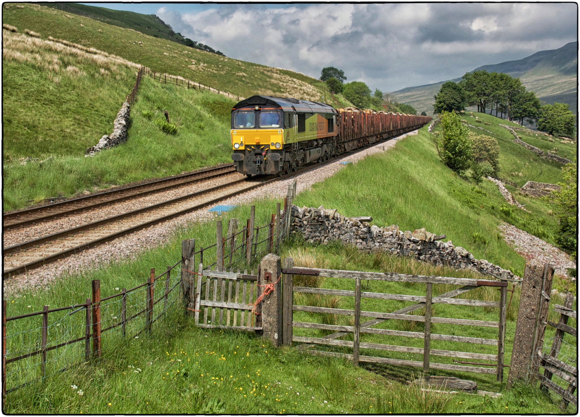
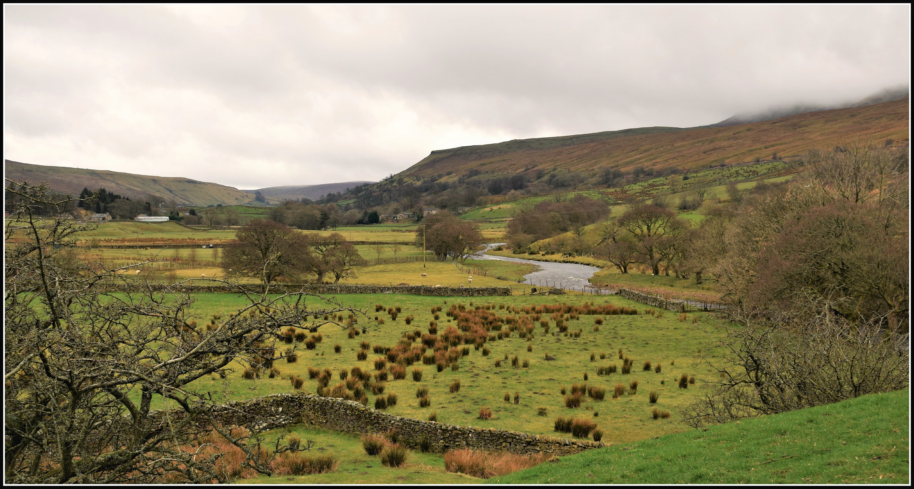
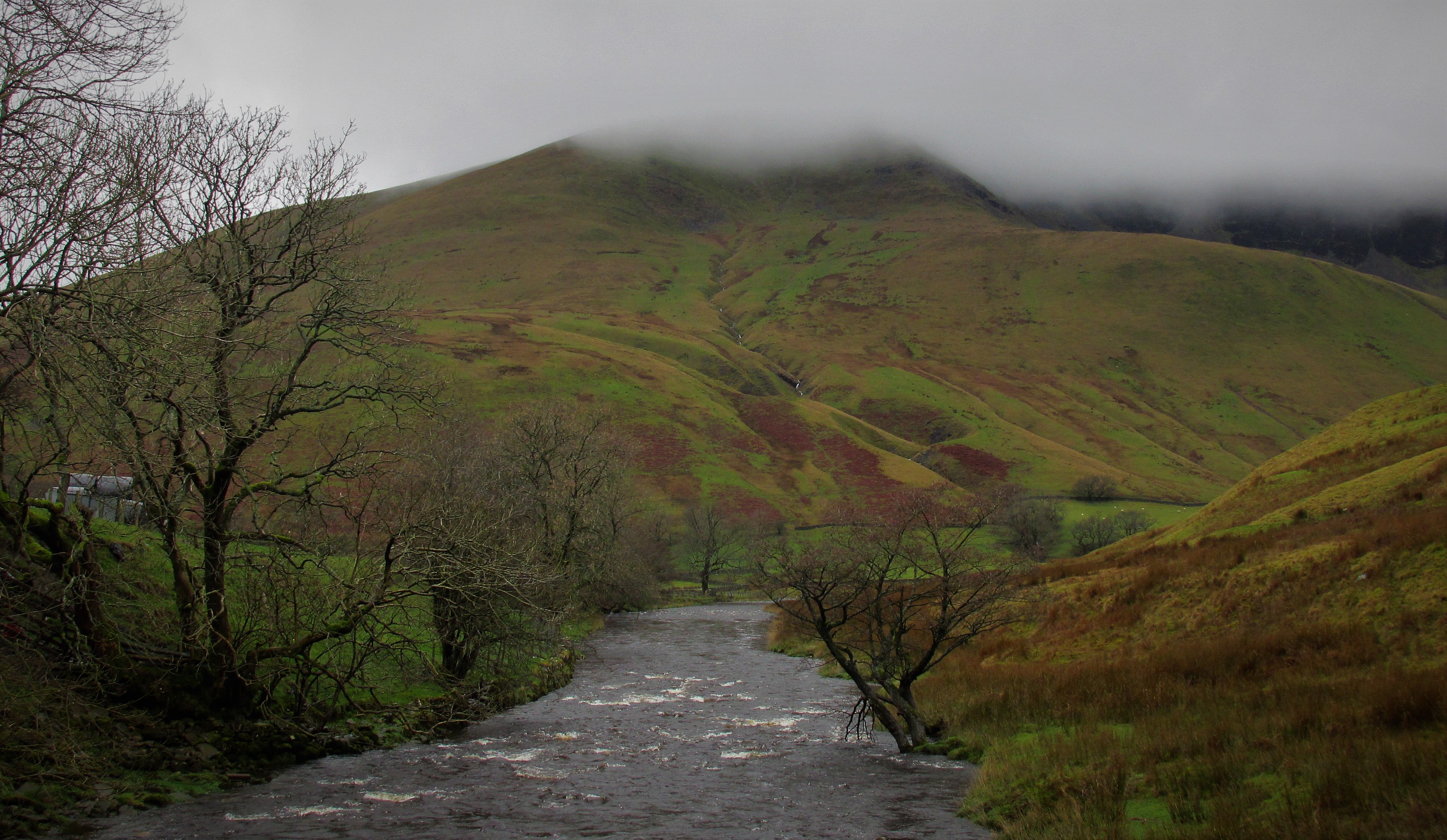
Related Photos:

Wild Boar fell, Cumbria, England.
Wild Boar Fell

View from Rowantree Grains.jpg
Lake District

It's just water under the bridge. HDR
Mount Zion Chapel, Dandry Mire
15 Guinea Fellsman at Ais Gill Viaduct
Looking north-east from Great Dummacks, Howgill Fells near Sedbergh, Yorkshire Dales National Park, Cumbria, UK

Go Chasing Waterfalls

English Country Lane at Drybeck, Cumbria,England.

View from the Howgills
Near-sunset view from Calders, Brant Fell, Howgill Fells near Sedbergh, Yorkshire Dales National Park, Cumbria, UK
Between Tunnels
Looking north-east from Red Gill Head, Brant Fell, Howgill Fells near Sedbergh, Yorkshire Dales National Park, Cumbria, UK
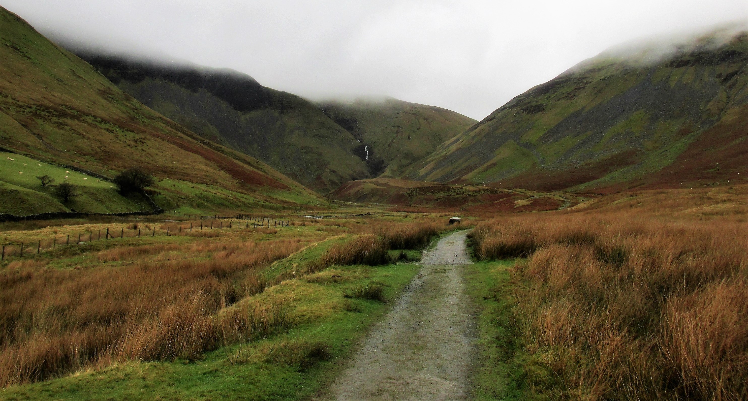
Hidden valley

Over the summit, Ais Gill, Cumbria/Yorkshire border, England
Wild Boar Fell tones & textures, Yorkshire Dales, England.

Brough, Cumbria 3. HDR

Pendragon Castle
M6 motorway seen from the Howgill Fells near Sedbergh, Cumbria, UK
Uldale Force, River Rawthey, Yorkshire Dales National Park, Cumbria, UK
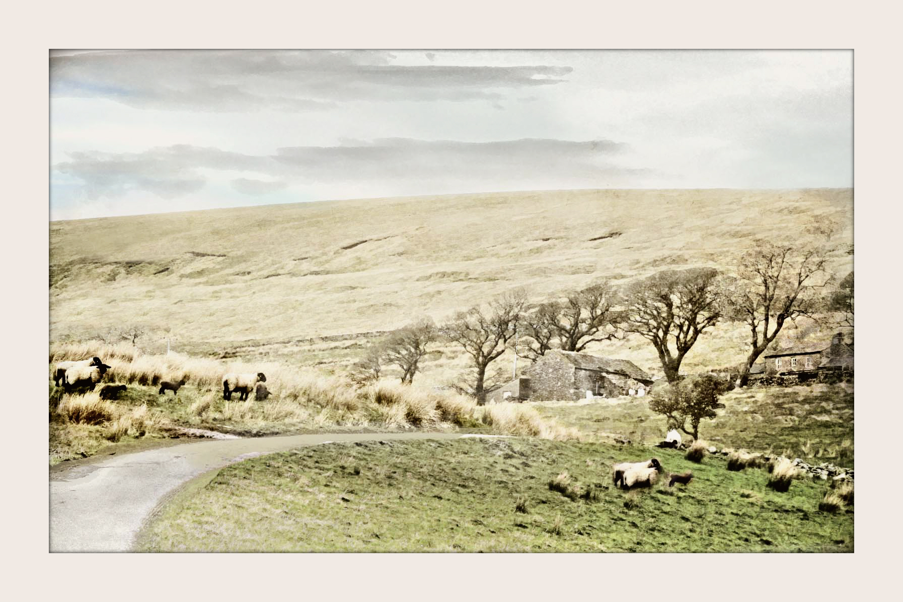
The Residents
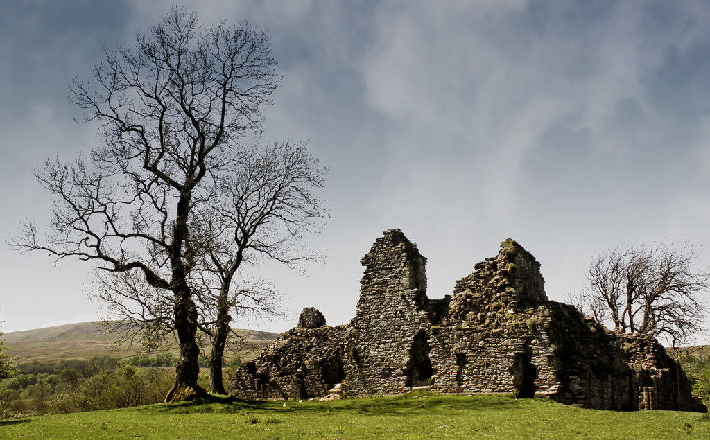
Pendragon castle

Foreboding Sky
The path to Cautley spout.
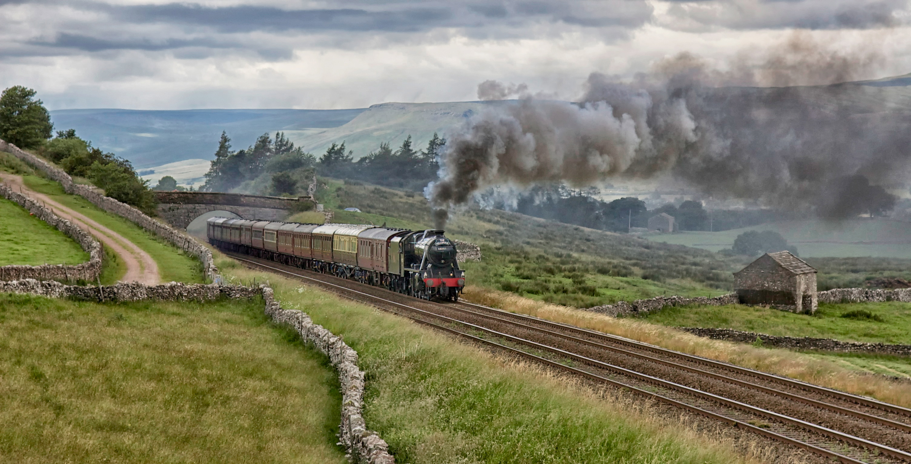
48151. 'The Fellsman'
66848. Angerholme.
Mallerstang.
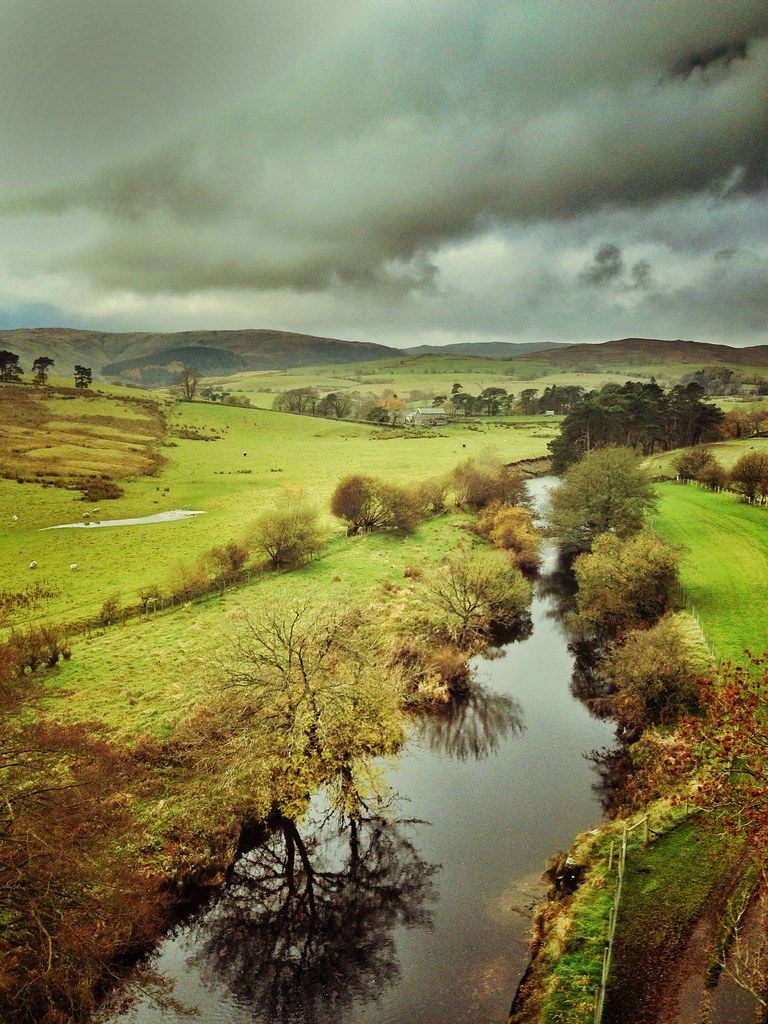
Great Dummacks and the River Rawthey.
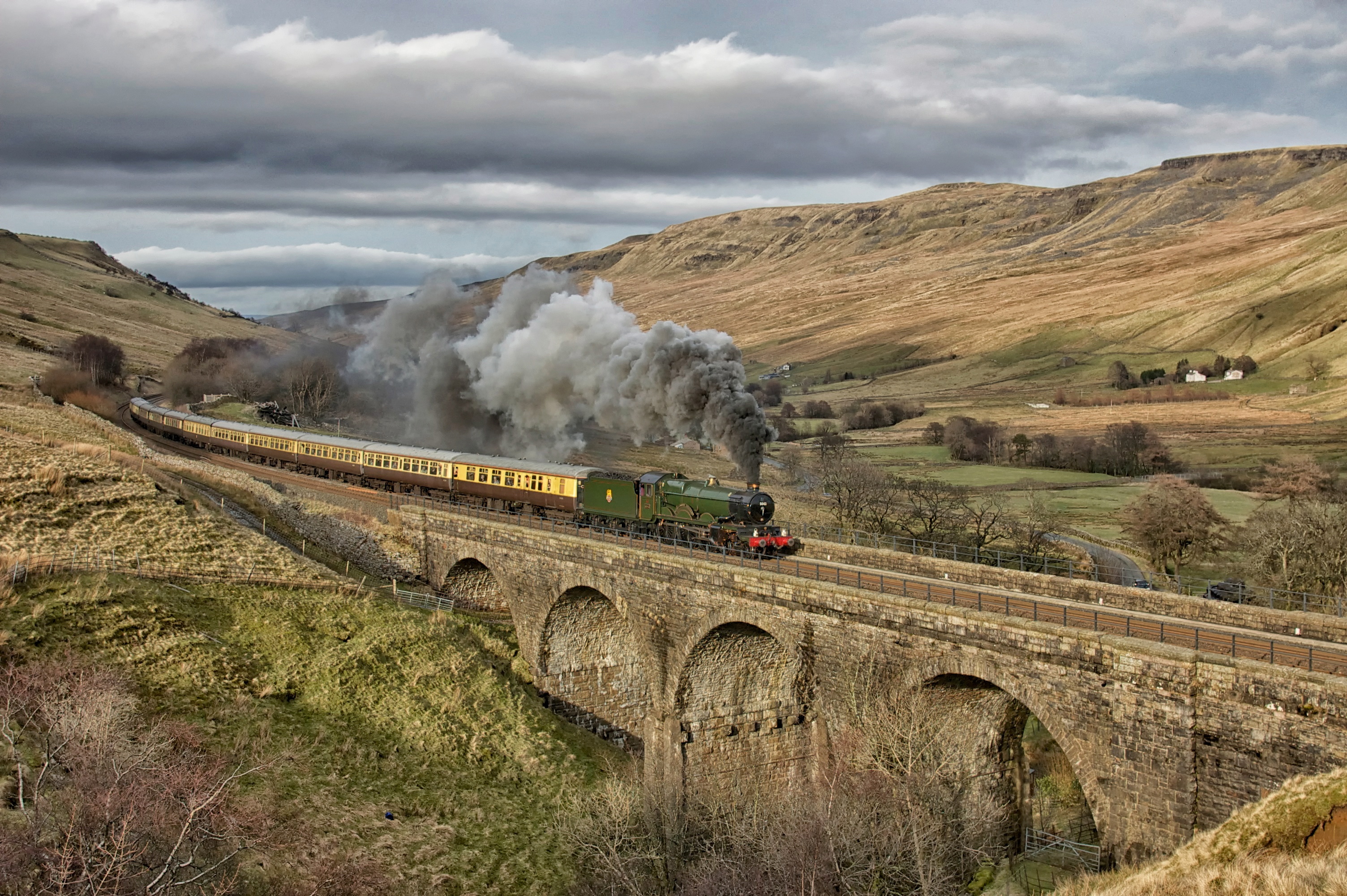
5043. A Southerner up north! ……..
Golden Stockber
48151. Garsdale.
Crossing Dandry Mire

Garsdale Waterfall...IMG_0218.jpg
The Waverley at Aisgill
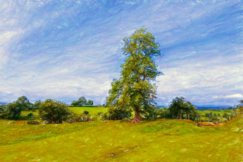
stand tall
Birk Beck (303/366)

Garsdale Waterfall...IMG_0220.jpg

45407. Climbing Shap 1 ……...
Topographic Map of Ravenstonedale, UK
Find elevation by address:

Places in Ravenstonedale, UK:
Places near Ravenstonedale, UK:
Ravenstonedale
Newbiggin-on-lune
The Tool House
Cautley Spout
La10 5ly
Cautley
Ca17 4sn
Aisgill
Kirkby Stephen
Warcop
Garsdale
Sedbergh
Lunds
Gawthrop
La10 5qh
Dent
La10 5rj
Orton
Garsdale (gsd)
Lowgill
Recent Searches:
- Elevation map of Greenland, Greenland
- Elevation of Sullivan Hill, New York, New York, 10002, USA
- Elevation of Morehead Road, Withrow Downs, Charlotte, Mecklenburg County, North Carolina, 28262, USA
- Elevation of 2800, Morehead Road, Withrow Downs, Charlotte, Mecklenburg County, North Carolina, 28262, USA
- Elevation of Yangbi Yi Autonomous County, Yunnan, China
- Elevation of Pingpo, Yangbi Yi Autonomous County, Yunnan, China
- Elevation of Mount Malong, Pingpo, Yangbi Yi Autonomous County, Yunnan, China
- Elevation map of Yongping County, Yunnan, China
- Elevation of North 8th Street, Palatka, Putnam County, Florida, 32177, USA
- Elevation of 107, Big Apple Road, East Palatka, Putnam County, Florida, 32131, USA
- Elevation of Jiezi, Chongzhou City, Sichuan, China
- Elevation of Chongzhou City, Sichuan, China
- Elevation of Huaiyuan, Chongzhou City, Sichuan, China
- Elevation of Qingxia, Chengdu, Sichuan, China
- Elevation of Corso Fratelli Cairoli, 35, Macerata MC, Italy
- Elevation of Tallevast Rd, Sarasota, FL, USA
- Elevation of 4th St E, Sonoma, CA, USA
- Elevation of Black Hollow Rd, Pennsdale, PA, USA
- Elevation of Oakland Ave, Williamsport, PA, USA
- Elevation of Pedrógão Grande, Portugal