Elevation of Kirkby Stephen CA17, UK
Location: United Kingdom > Cumbria >
Longitude: -2.348925
Latitude: 54.474279
Elevation: 175m / 574feet
Barometric Pressure: 99KPa
Elevation Map:
Satellite Map:
Related Photos:
Smardale Gill national nature reserve.

East Gill Waterfall Keld Yorkshire Dales
Rutter Falls and Mill
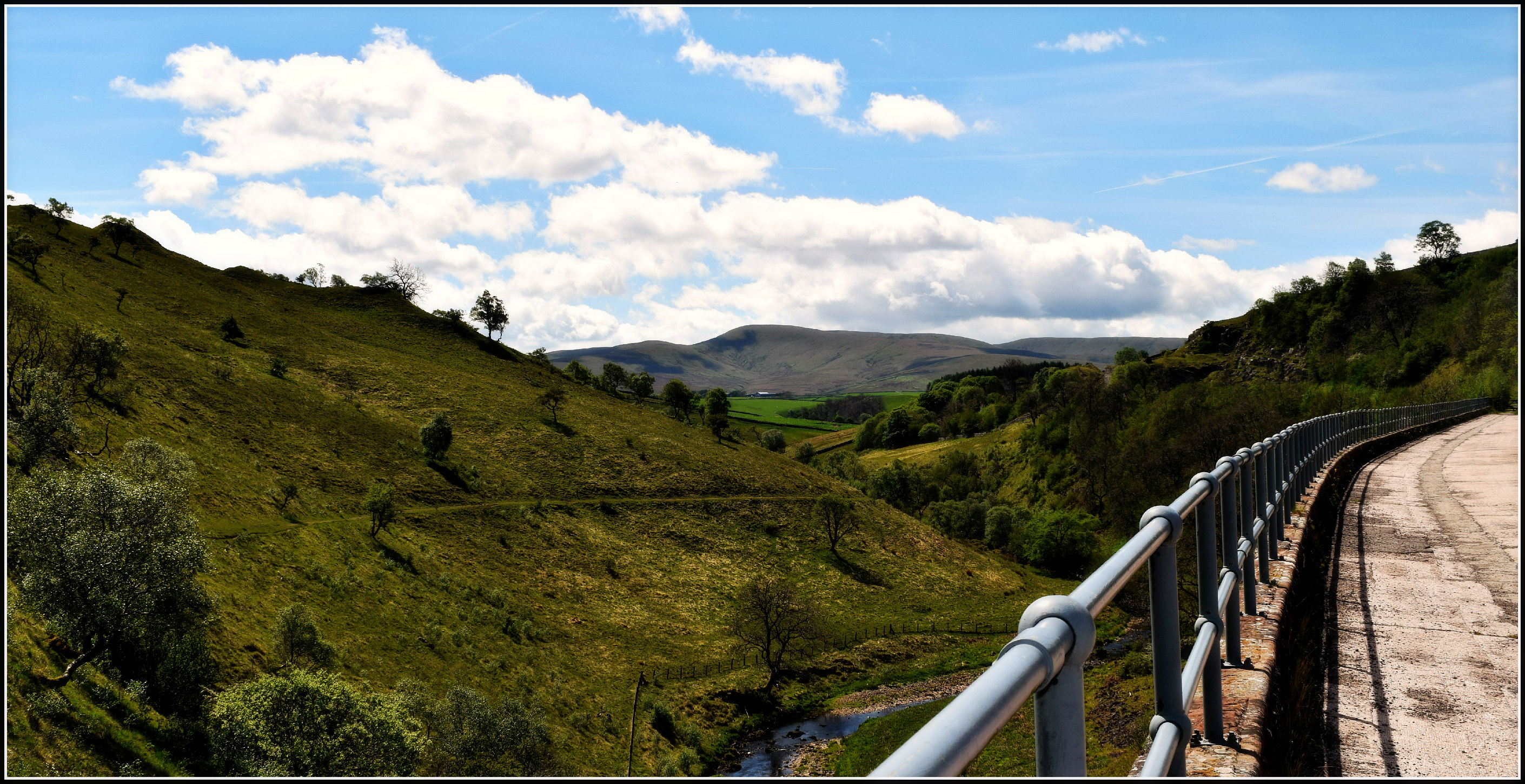
Between Tunnels
Wild Boar Fell tones & textures, Yorkshire Dales, England.
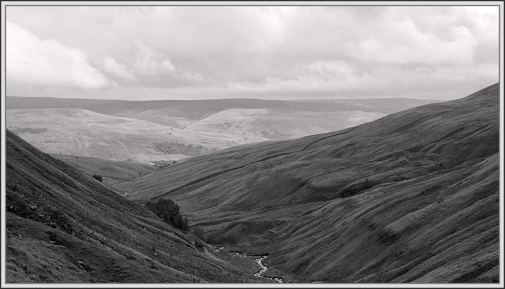
Hidden valley

Over the summit, Ais Gill, Cumbria/Yorkshire border, England

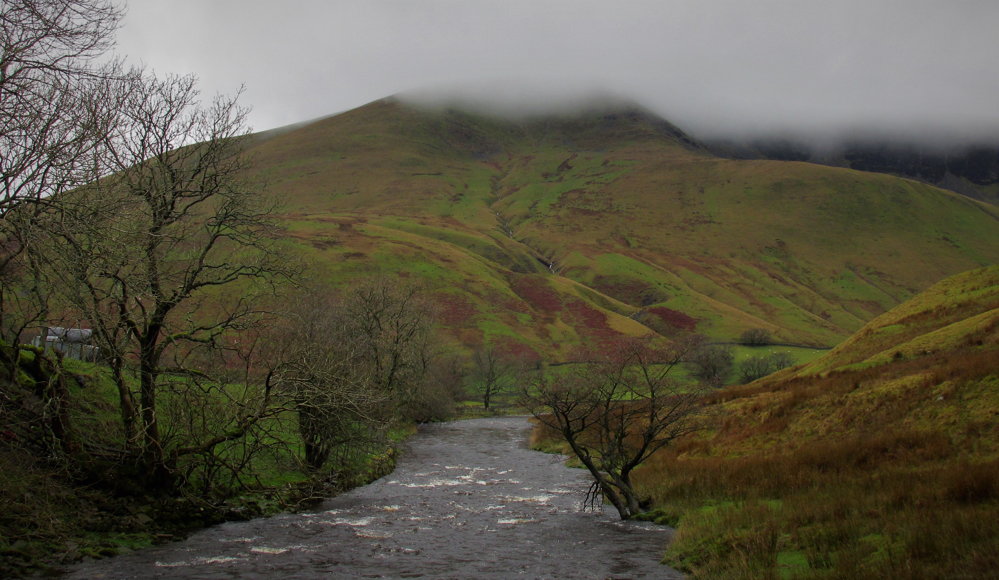
Cautley Holme Beck and the Rawthey Valley, Howgill Fells near Sedbergh, Yorkshire Dales National Park, Cumbria, UK
In miniature...
158s - Lunds 21/10/14
White Birks Common

ORN101 landrover camper. HDR
Along Cliff Beck
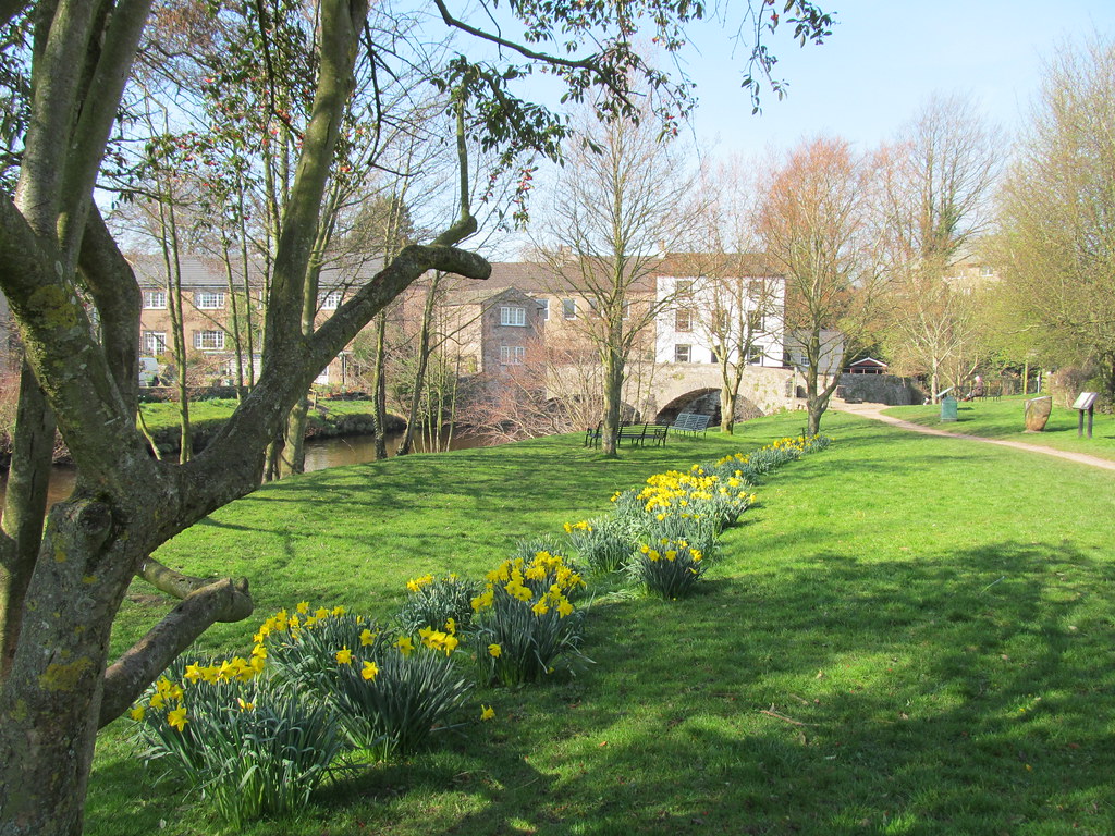
Springtime in Cumbria
Wild Boar Fell

Sunset view west from Uldale Head, Howgill Fells, Yorkshire Dales National Park, Cumbria, UK

English Country Lane at Drybeck, Cumbria,England.
Smardale Gill viaduct.
Wainwath Force in the Dales
Looking north-east from Great Dummacks, Howgill Fells near Sedbergh, Yorkshire Dales National Park, Cumbria, UK
The tarn with no name

Late spring at Brough Castle, Cumbria

5212a Golden Flow
Mallerstang.

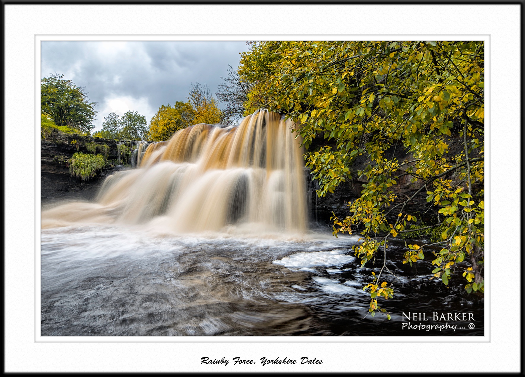
Rainby Force (again)...IMG_0087

5261b The Upper Falls
Wain Wath Force, Keld, Yorkshire Dales
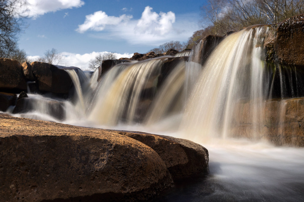
Rainby Force
stand tall
Pendragon castle
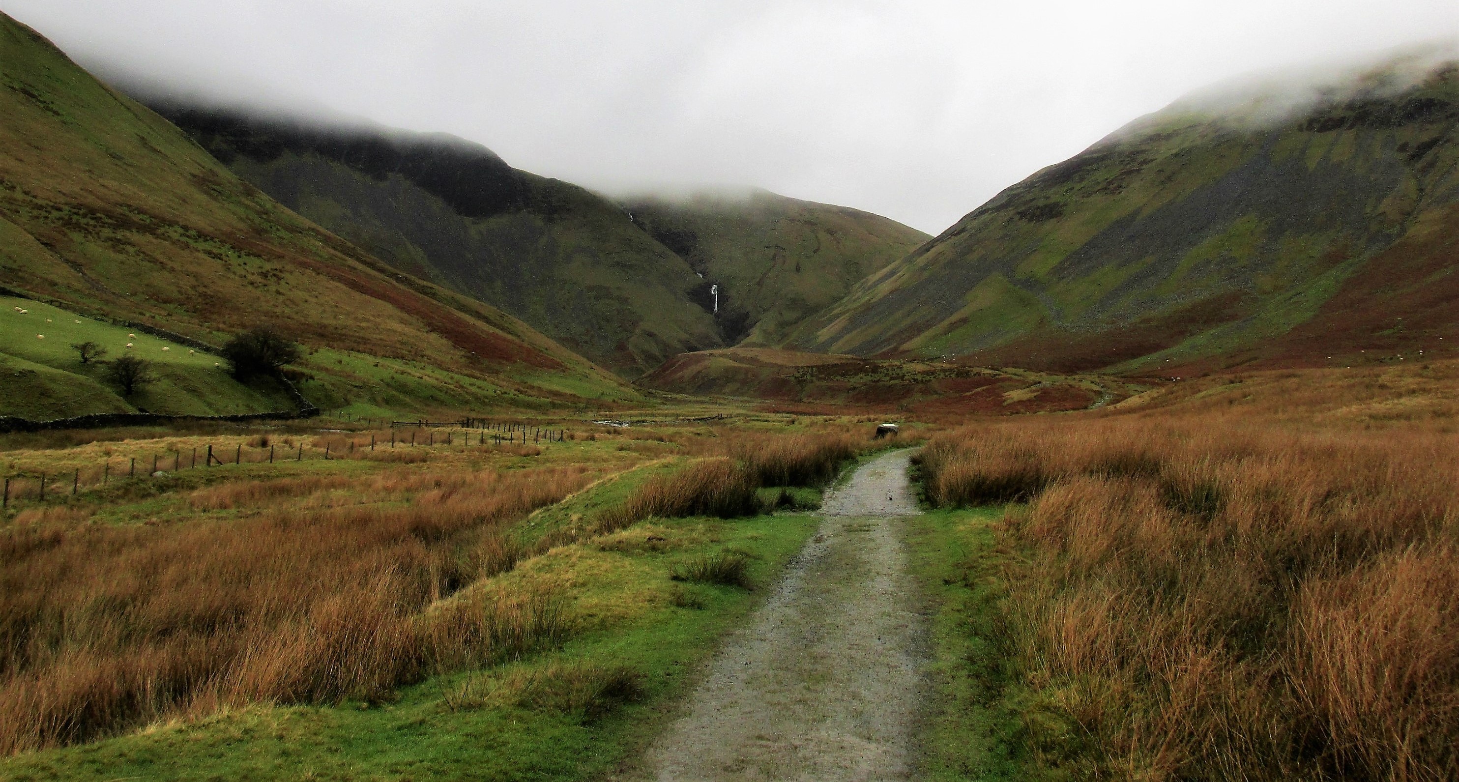
The path to Cautley spout.
Great Dummacks and the River Rawthey.
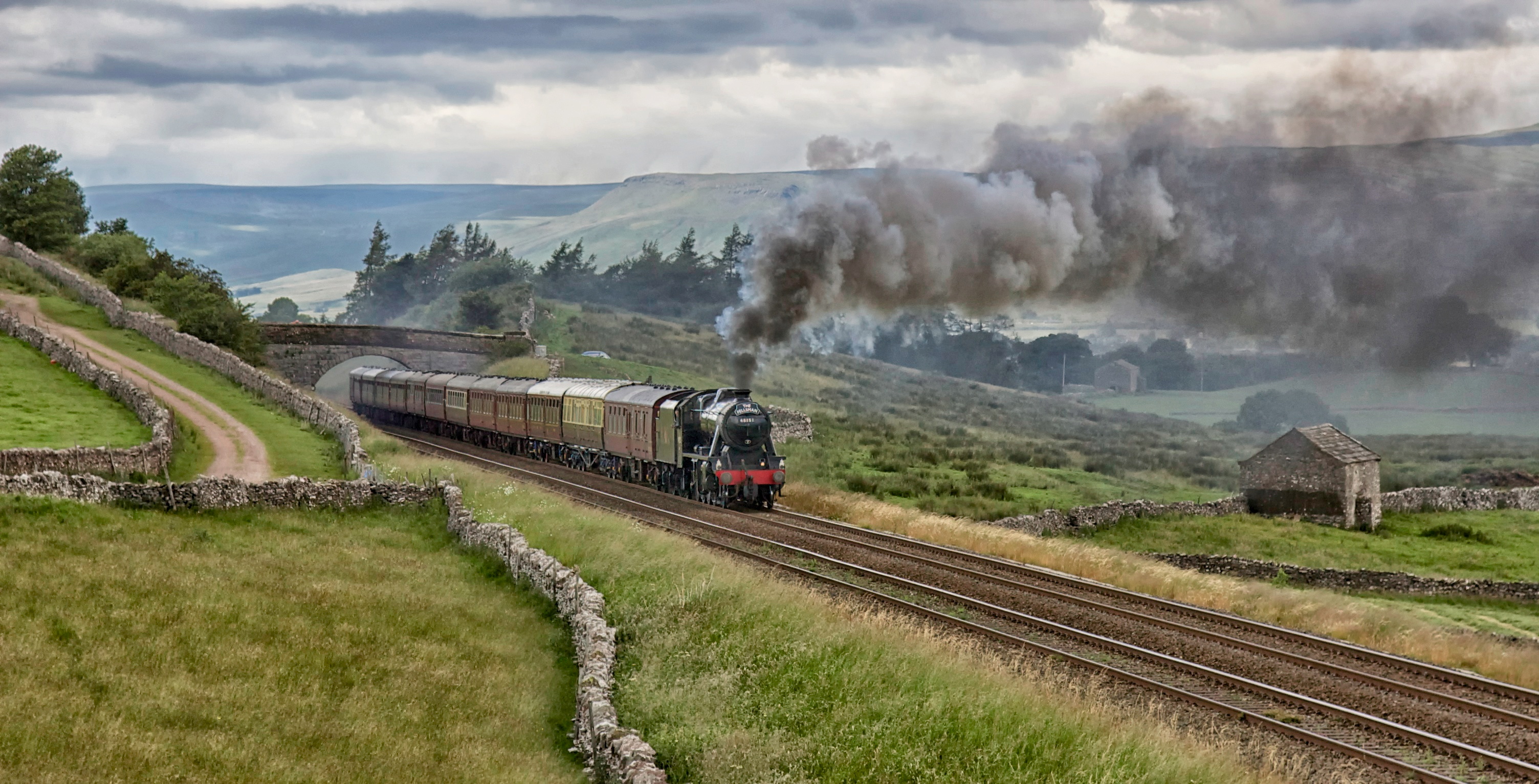
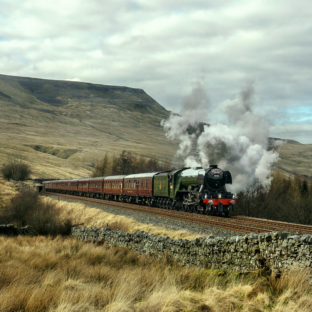
48151. 'The Fellsman'
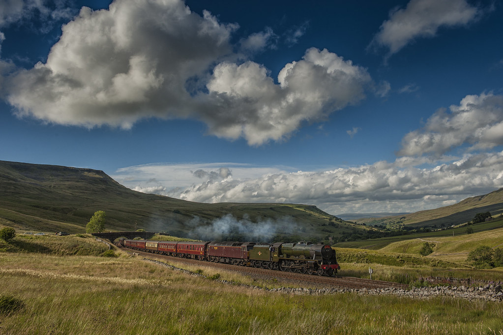
The Waverley
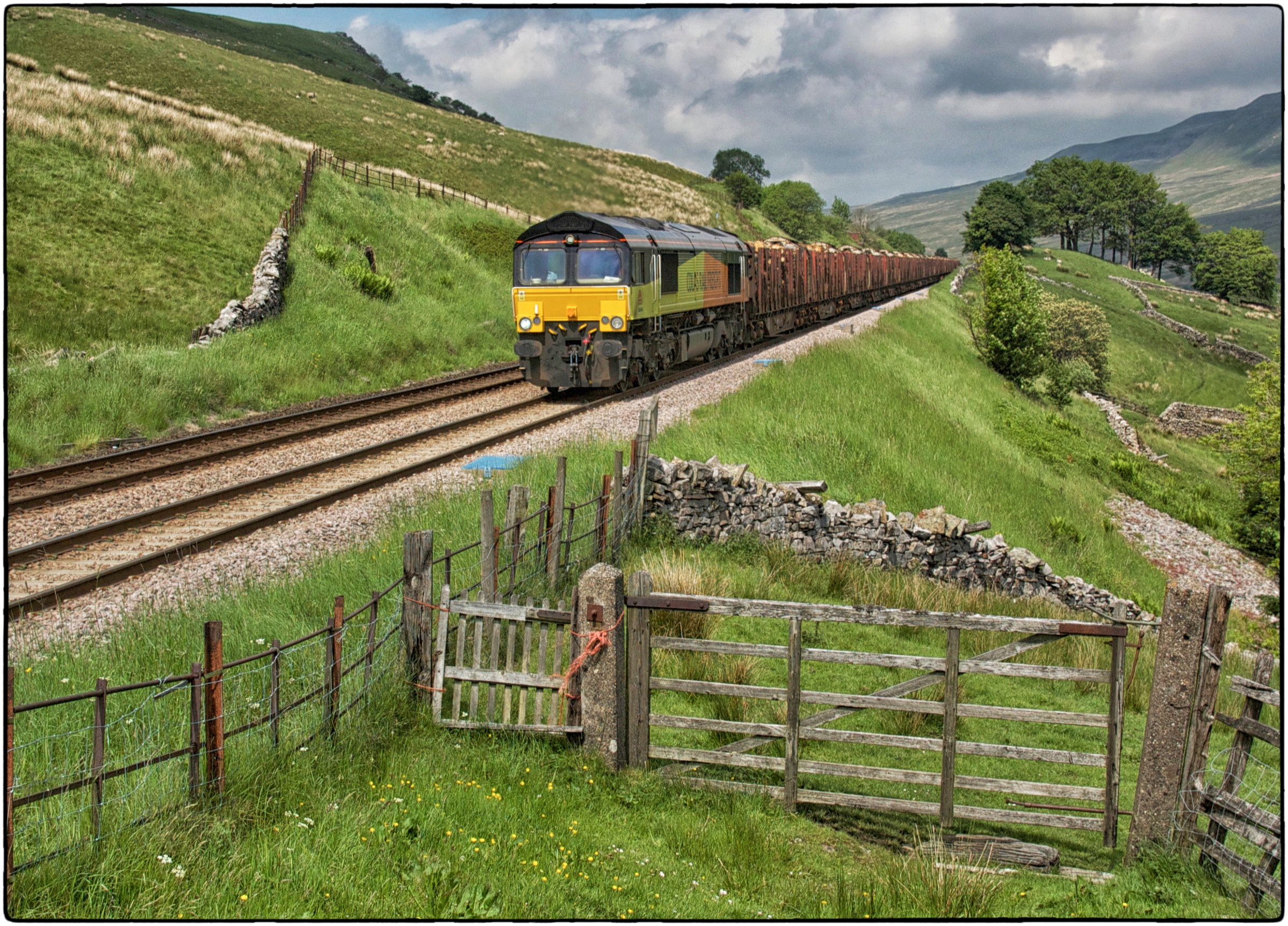
66848. Angerholme.
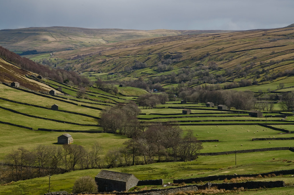
The Yorkshire Dales.
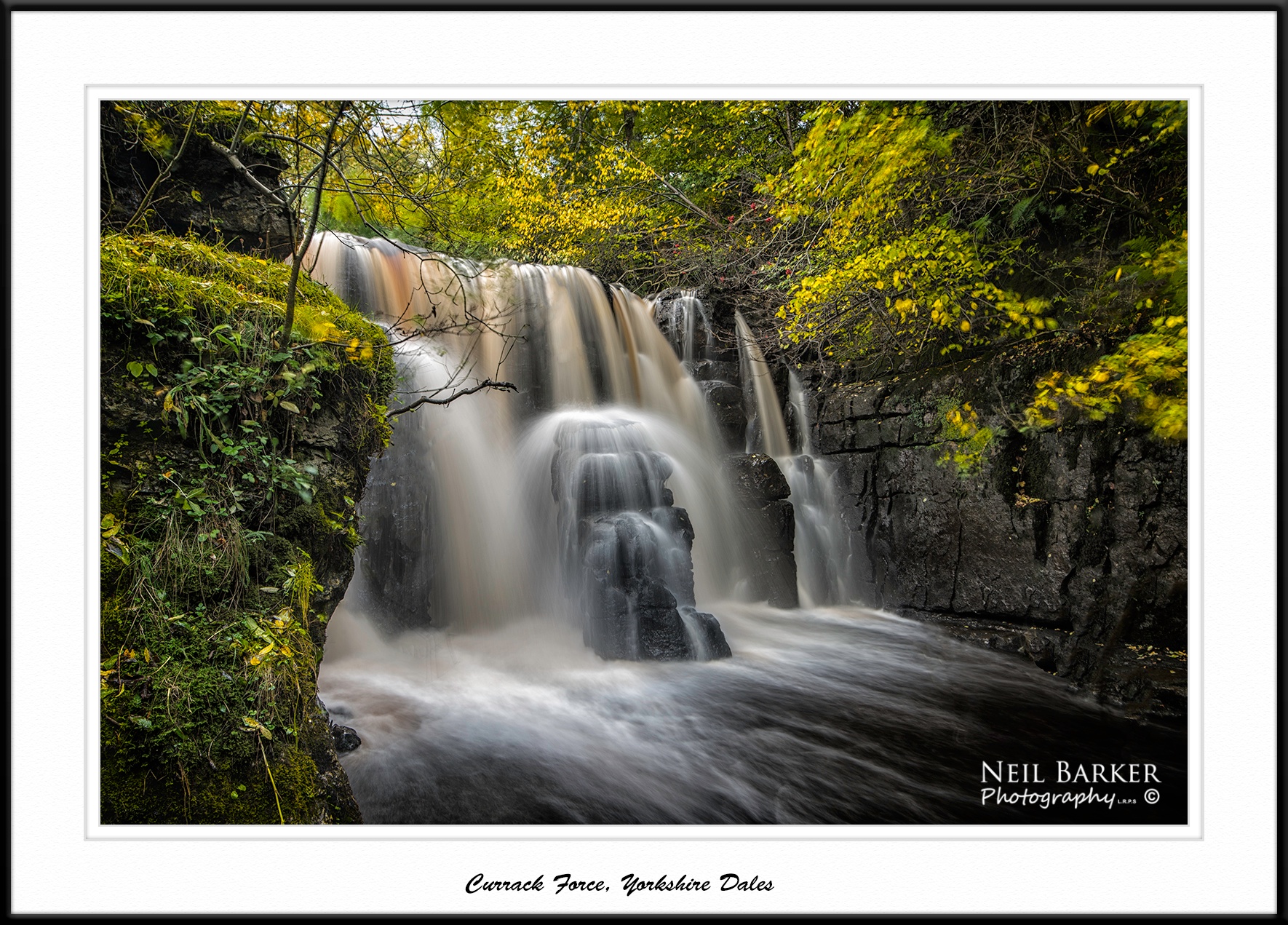
Currack Force
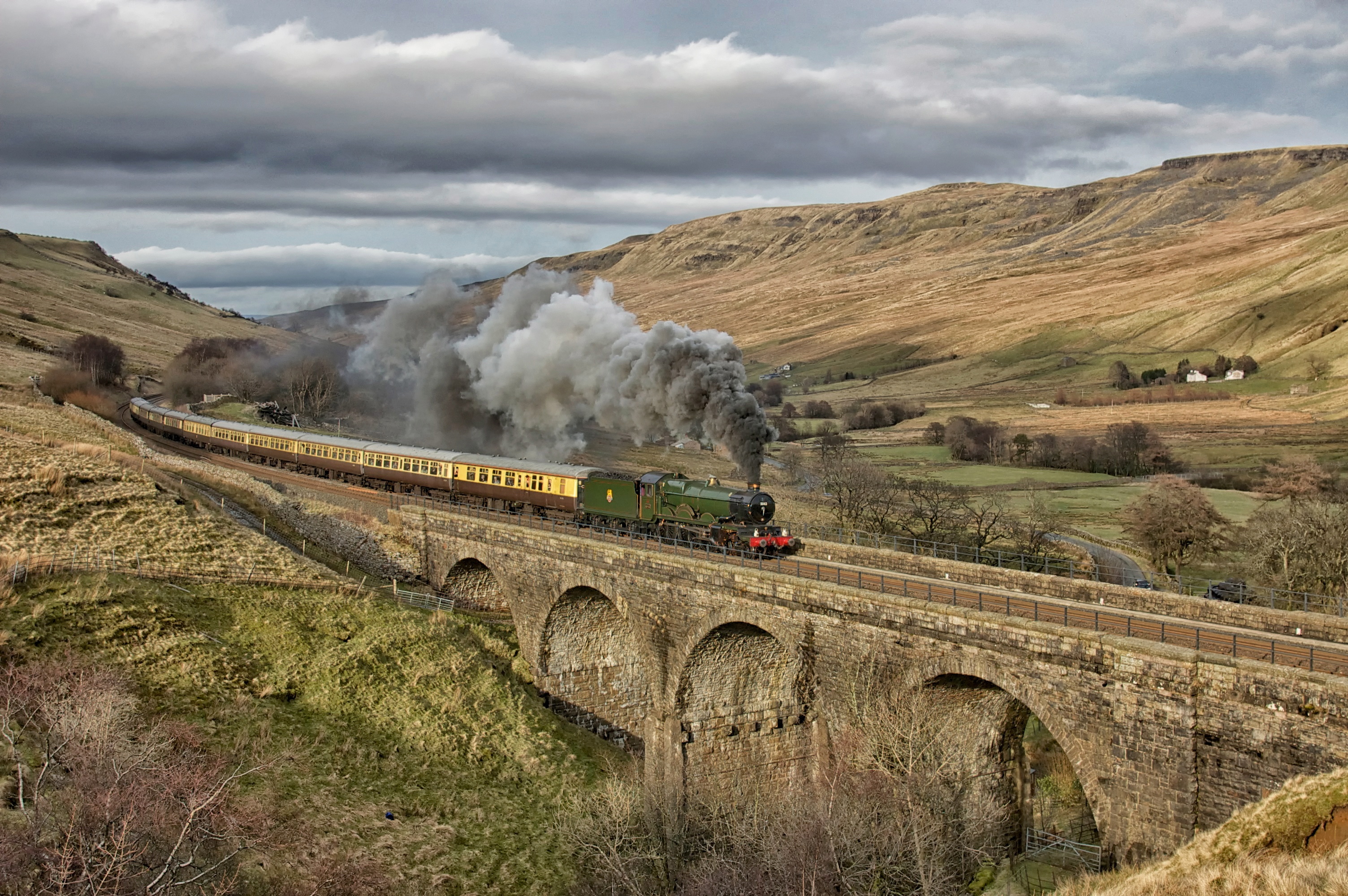
5043. A Southerner up north! ……..

Rainbow over Tan Hill Inn
S%mzY8huThGaEv%j5K6bwQ
The Waverley at Aisgill
Topographic Map of Kirkby Stephen CA17, UK
Find elevation by address:

Places near Kirkby Stephen CA17, UK:
Ca17 4sn
Brough
Warcop
The Tool House
Ravenstonedale
Aisgill
Ravenstonedale
Newbiggin-on-lune
Lunds
Ravenseat Farm
C J Owen
Garsdale (gsd)
Cotterdale
Cautley Spout
Garsdale
La10 5ly
Cautley
Tan Hill Inn
La10 5rj
Keld
Recent Searches:
- Elevation of Corso Fratelli Cairoli, 35, Macerata MC, Italy
- Elevation of Tallevast Rd, Sarasota, FL, USA
- Elevation of 4th St E, Sonoma, CA, USA
- Elevation of Black Hollow Rd, Pennsdale, PA, USA
- Elevation of Oakland Ave, Williamsport, PA, USA
- Elevation of Pedrógão Grande, Portugal
- Elevation of Klee Dr, Martinsburg, WV, USA
- Elevation of Via Roma, Pieranica CR, Italy
- Elevation of Tavkvetili Mountain, Georgia
- Elevation of Hartfords Bluff Cir, Mt Pleasant, SC, USA