Elevation of Appleby-in-Westmorland CA16 6JW, UK
Location: United Kingdom > Cumbria >
Longitude: -2.5054053
Latitude: 54.5987063
Elevation: 154m / 505feet
Barometric Pressure: 0KPa
Related Photos:

Rutter Falls and Mill

'Classic' Shap Wells

Abbey Bridge

Trout Beck

Trout Beck

High Cup, Cumbria

Bridge to Brougham

Lay-by

Ruin With A View

Rutter-Falls-

Room with a view.

English Country Lane at Drybeck, Cumbria,England.

St Cuthberts, Edenhall, Cumbria

High Cup Nick
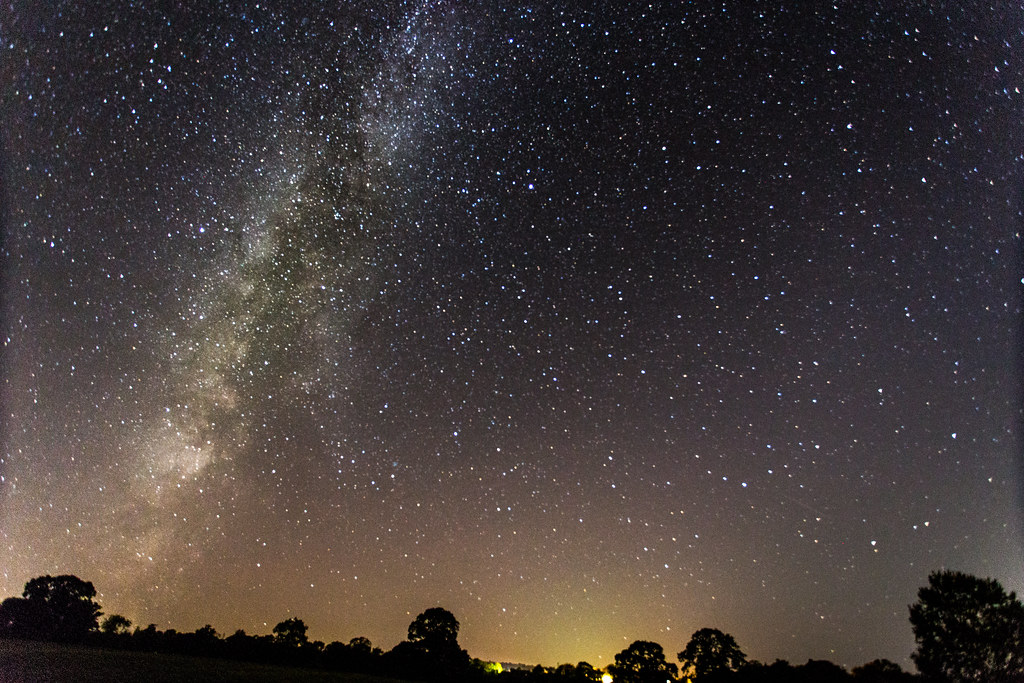
Milky Way viewed from Great Strickland, Cumbria

13th century Brougham Castle On The River Eamont in Cumbria, England, UK

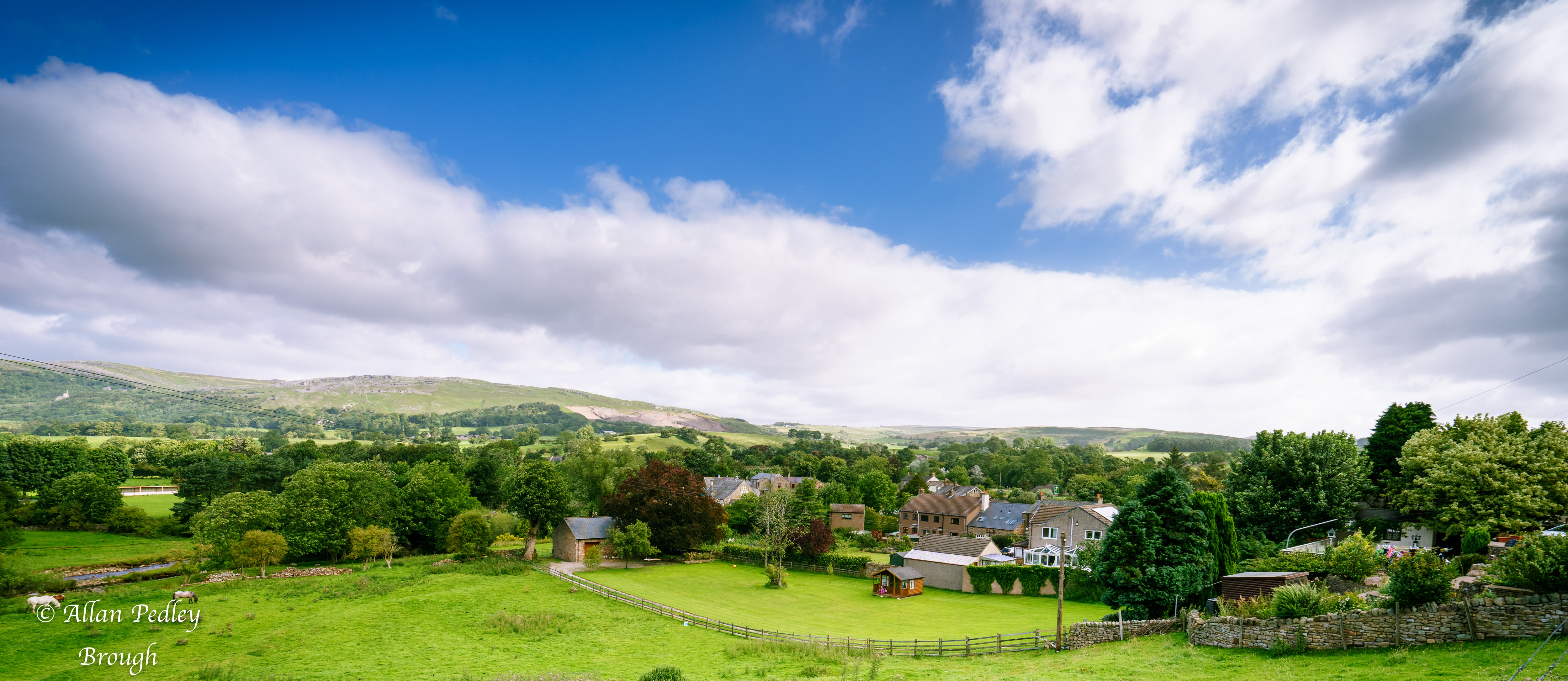
East View Sept 18-7181

c.1955 - Shap, Westmorland (now Cumbria).

View from the B6260

Cauldron Snout, River Tees

High Cup - the classic (afternoon) view

Brough Castle

Rutter Falls Great Asby Appleby Cumbria

Late spring at Brough Castle, Cumbria
Brough Cumbria

Maulds Meaburn Village Cumbria
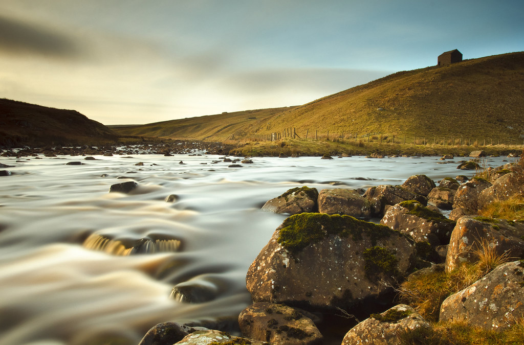
Below Cauldron Snout

high cup nick

Brough Castle

Climbing up that Hill. 16

High Cup Nick, Cumbria

Maulds Meaburn Cumbria

Greg’s Hut

Brough Castle

Gypsies on there way to Appleby horse fair

Lowther Castle (ruins)

dufton barn

cross fell summit

66 002 crossing Smardale Viaduct.

Cauldron Snout.
Topographic Map of Appleby-in-Westmorland CA16 6JW, UK
Find elevation by address:

Places near Appleby-in-Westmorland CA16 6JW, UK:
Kirkby Thore
Stout & Partners
Crosby Ravensworth
Newby Beck
Dale Nook
Oddendale Cottage
Dallan Bank
Ca10 3le
Crook View
Shap
Ca10 3lp
Eden District
Rosgill
Ca10 2jb
Bampton
Penrith
Ca11 7ln
Burn Banks
Cumbria
Stainton
Recent Searches:
- Elevation of 10370, West 107th Circle, Westminster, Jefferson County, Colorado, 80021, USA
- Elevation of 611, Roman Road, Old Ford, Bow, London, England, E3 2RW, United Kingdom
- Elevation of 116, Beartown Road, Underhill, Chittenden County, Vermont, 05489, USA
- Elevation of Window Rock, Colfax County, New Mexico, 87714, USA
- Elevation of 4807, Rosecroft Street, Kempsville Gardens, Virginia Beach, Virginia, 23464, USA
- Elevation map of Matawinie, Quebec, Canada
- Elevation of Sainte-Émélie-de-l'Énergie, Matawinie, Quebec, Canada
- Elevation of Rue du Pont, Sainte-Émélie-de-l'Énergie, Matawinie, Quebec, J0K2K0, Canada
- Elevation of 8, Rue de Bécancour, Blainville, Thérèse-De Blainville, Quebec, J7B1N2, Canada
- Elevation of Wilmot Court North, 163, University Avenue West, Northdale, Waterloo, Region of Waterloo, Ontario, N2L6B6, Canada
- Elevation map of Panamá Province, Panama
- Elevation of Balboa, Panamá Province, Panama
- Elevation of San Miguel, Balboa, Panamá Province, Panama
- Elevation of Isla Gibraleón, San Miguel, Balboa, Panamá Province, Panama
- Elevation of 4655, Krischke Road, Schulenburg, Fayette County, Texas, 78956, USA
- Elevation of Carnegie Avenue, Downtown Cleveland, Cleveland, Cuyahoga County, Ohio, 44115, USA
- Elevation of Walhonding, Coshocton County, Ohio, USA
- Elevation of Clifton Down, Clifton, Bristol, City of Bristol, England, BS8 3HU, United Kingdom
- Elevation map of Auvergne-Rhône-Alpes, France
- Elevation map of Upper Savoy, Auvergne-Rhône-Alpes, France