Elevation of Roundthwaite, Penrith CA10, UK
Location: United Kingdom > Cumbria >
Longitude: -2.6048239
Latitude: 54.424845
Elevation: 182m / 597feet
Barometric Pressure: 99KPa
Elevation Map:
Satellite Map:
Related Photos:
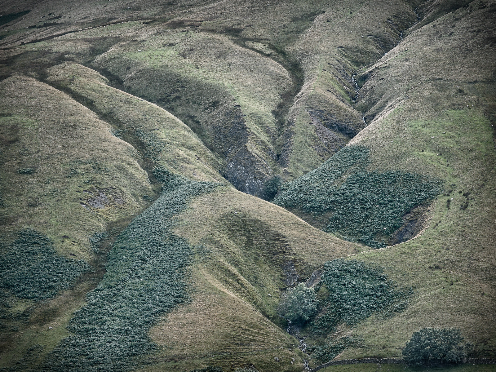
Haweswater Reservoir

The Rigg - Haweswater

Abbey Bridge

No wonder I'm struggling for breath
Room With A View

It's just water under the bridge. HDR
Looking north-east from Great Dummacks, Howgill Fells near Sedbergh, Yorkshire Dales National Park, Cumbria, UK
Near-sunset view from Calders, Brant Fell, Howgill Fells near Sedbergh, Yorkshire Dales National Park, Cumbria, UK

VIEWING PLATFORM, KILLINGTON LAKE.

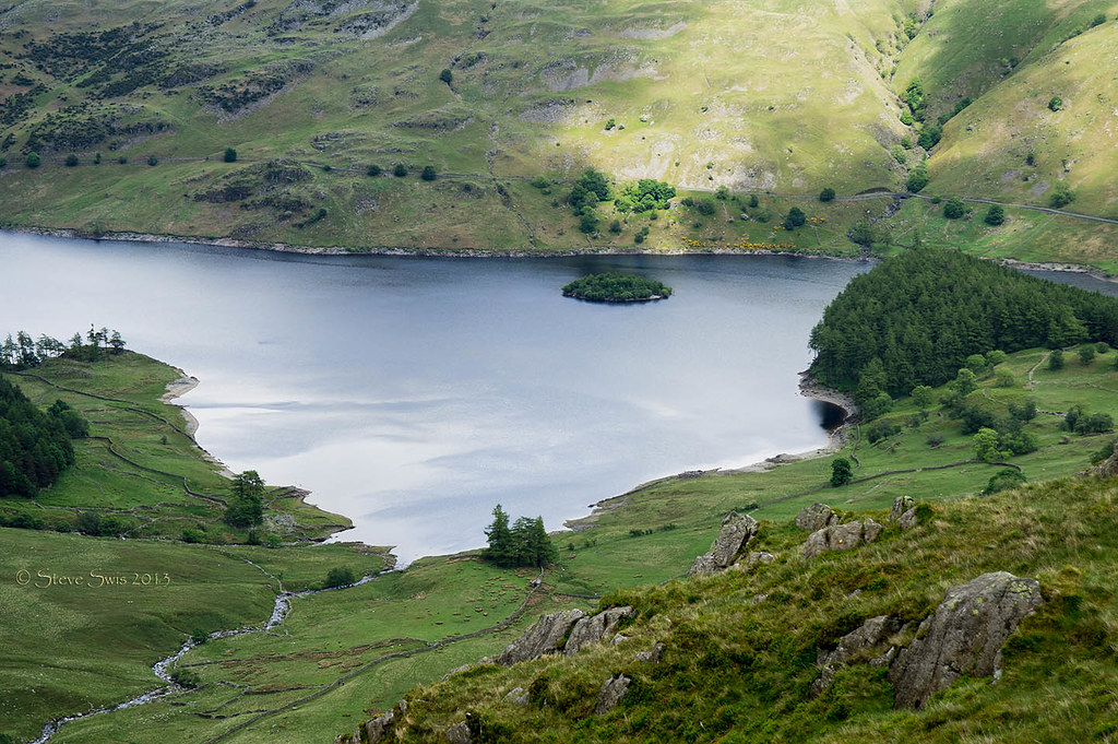
Haweswater Views
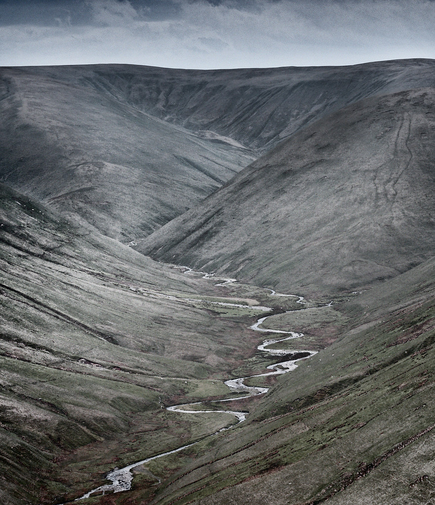
Hidden valley
Wild Boar Fell tones & textures, Yorkshire Dales, England.
6454 Haweswater, Lake District
yorkshire dales
M6 motorway seen from the Howgill Fells near Sedbergh, Cumbria, UK
6487 Haweswater, Lake District
Uldale Force, River Rawthey, Yorkshire Dales National Park, Cumbria, UK
Killington Lake

View from the Howgills

Looking north-east from Great Dummacks, Howgill Fells near Sedbergh, Yorkshire Dales National Park, Cumbria, UK
In miniature...

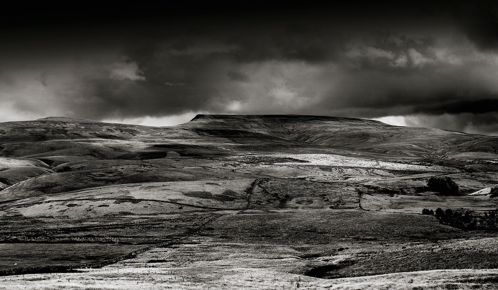
Foreboding Sky

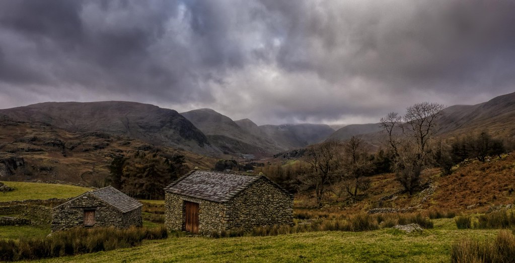
The River Lowther, Sleddale, Cumbria
Show of Strength
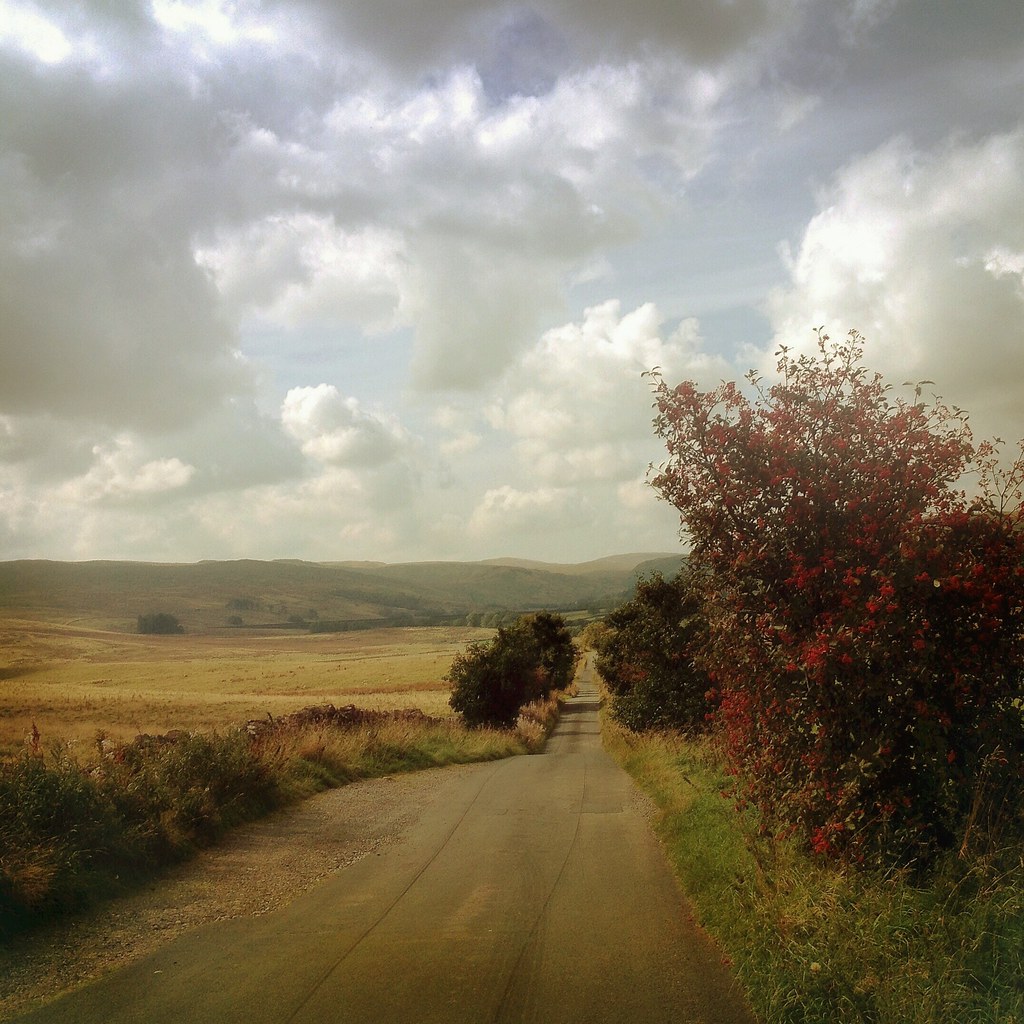
The Road to Sleddale, Cumbria

Dull day in Kendal Lake District
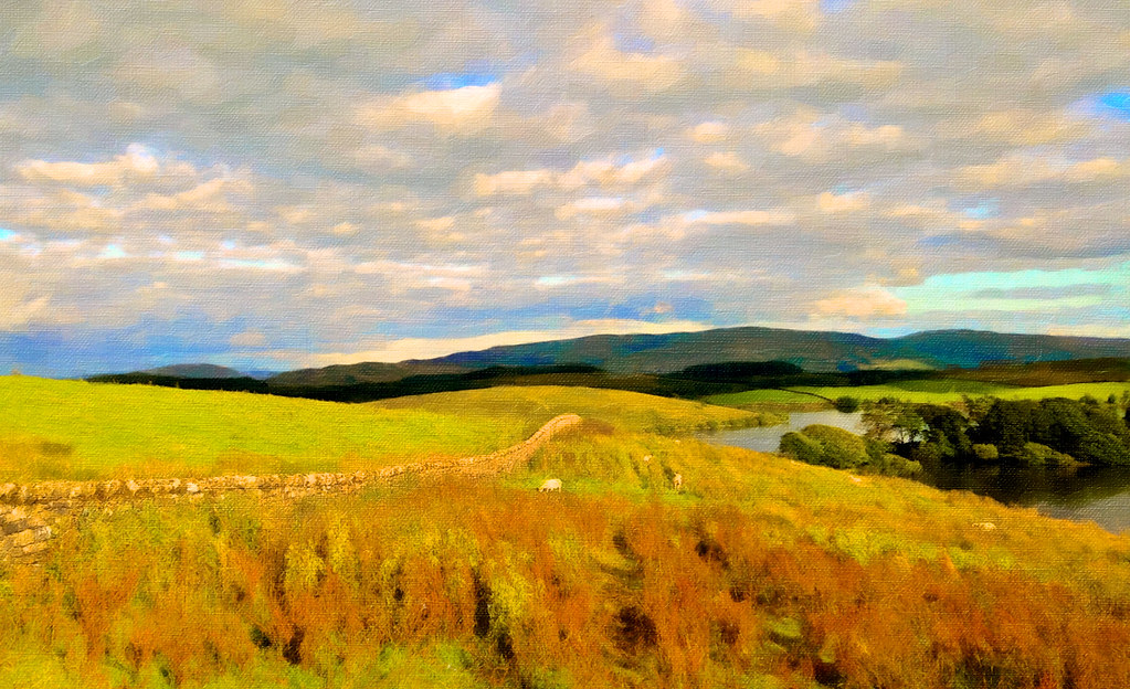
killington lake

Haweswater Reservoir

Mardale Beck
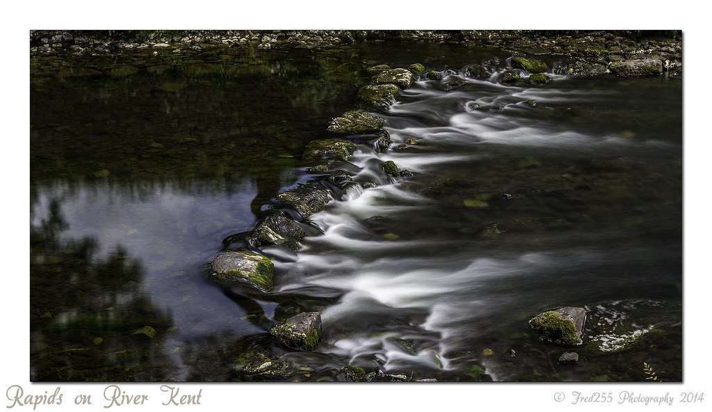
Rapids on River Kent

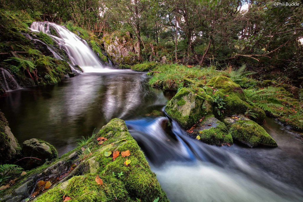
Thornthwaite Force

Haweswater From Above

45407. Climbing Shap 1 ……...
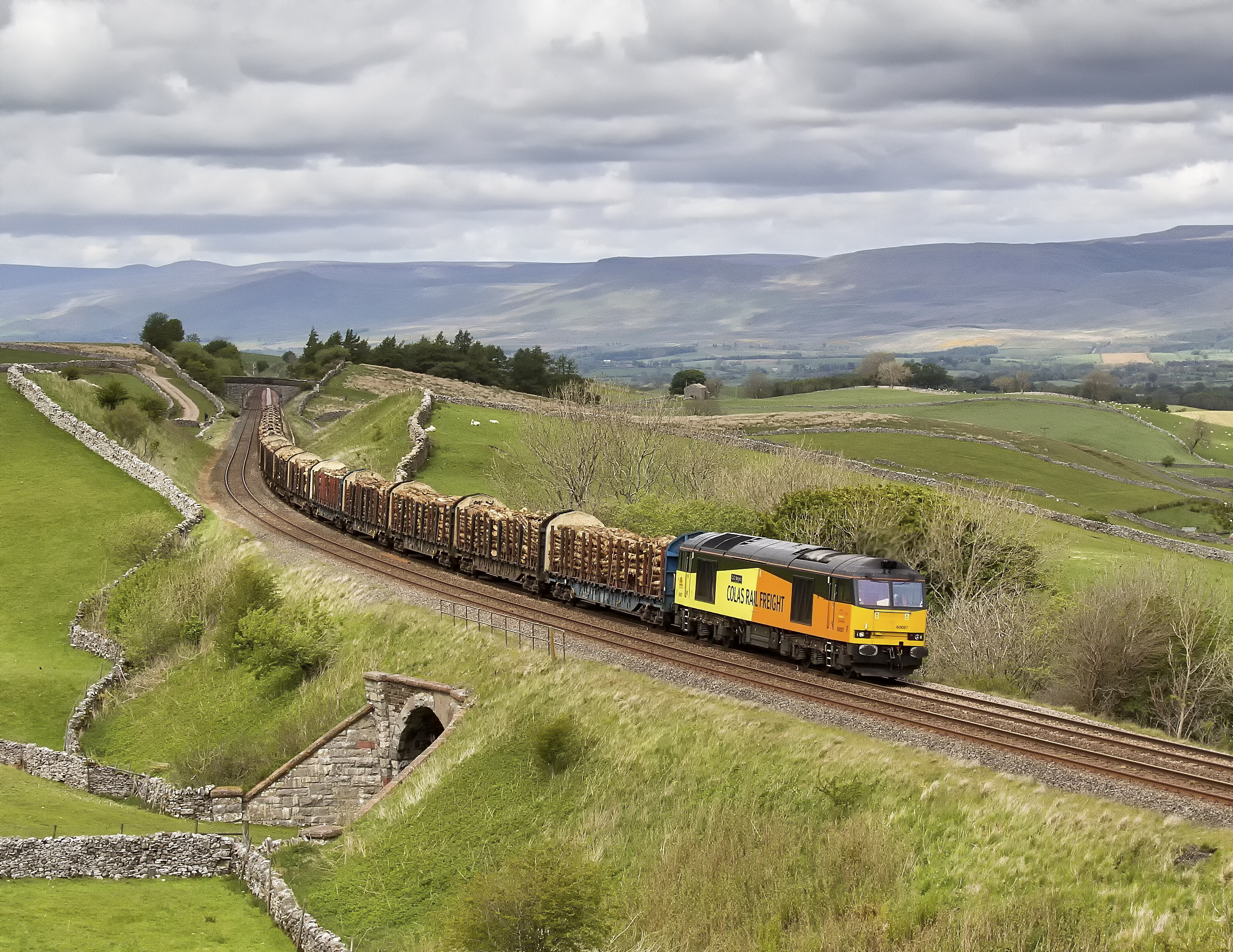
Log Train
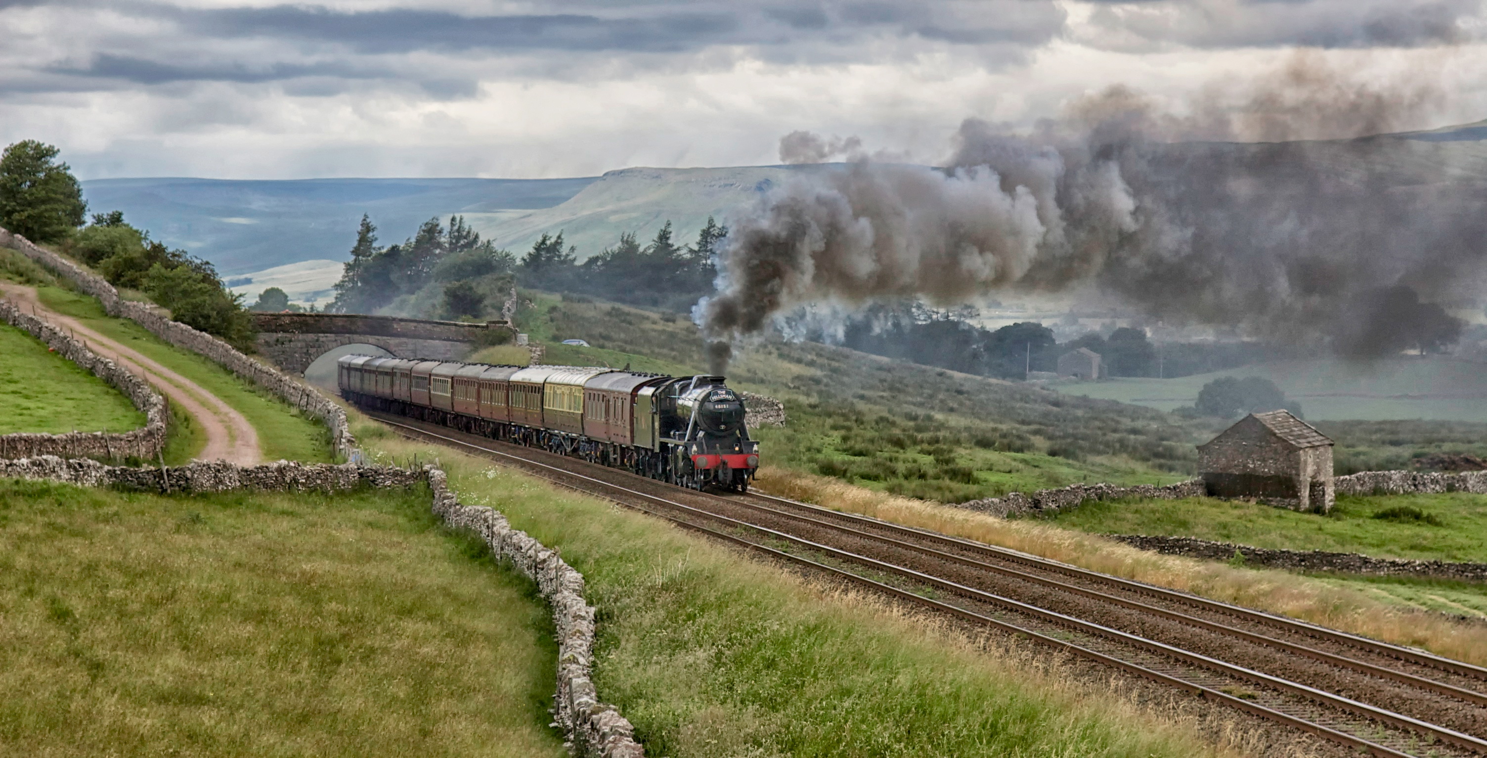
48151. 'The Fellsman'

Golden Stockber
Haweswater Beck
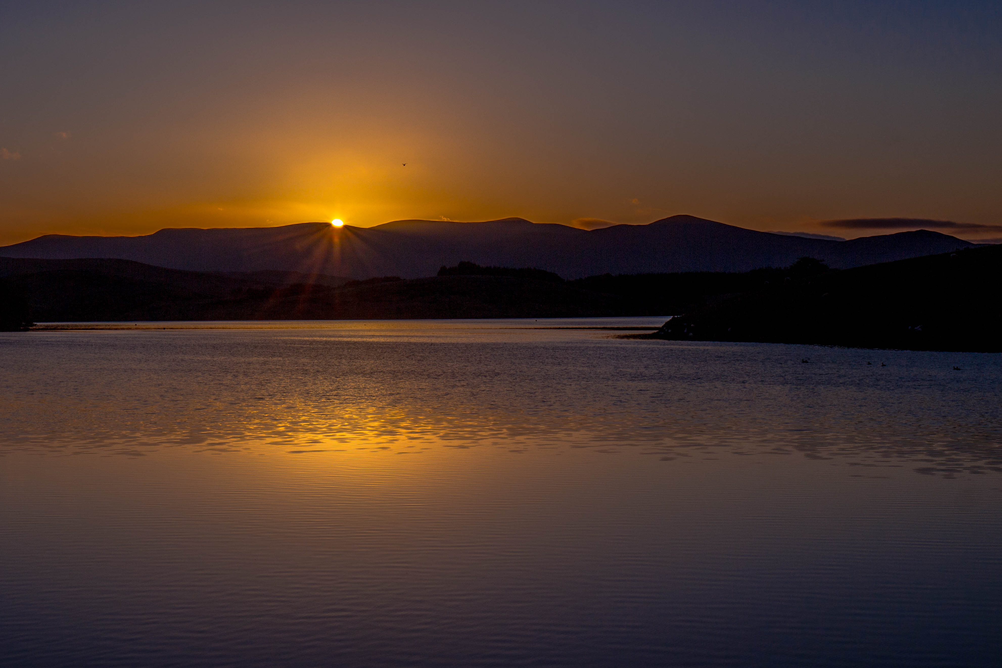
Golden dawn
Topographic Map of Roundthwaite, Penrith CA10, UK
Find elevation by address:

Places in Roundthwaite, Penrith CA10, UK:
Places near Roundthwaite, Penrith CA10, UK:
1 Lily Garth Cottages, Roundthwaite, Penrith CA10 3XU, UK
Orton
Lowgill
Oddendale Cottage
Dale Nook
Crosby Ravensworth
Cautley Spout
Sedbergh
Ca10 3lp
Ca10 3le
Crook View
Shap
Middleton Hall
Newbiggin-on-lune
Cautley
La10 5ly
Middleton
Newby Beck
Rosgill
Ravenstonedale
Recent Searches:
- Elevation of Corso Fratelli Cairoli, 35, Macerata MC, Italy
- Elevation of Tallevast Rd, Sarasota, FL, USA
- Elevation of 4th St E, Sonoma, CA, USA
- Elevation of Black Hollow Rd, Pennsdale, PA, USA
- Elevation of Oakland Ave, Williamsport, PA, USA
- Elevation of Pedrógão Grande, Portugal
- Elevation of Klee Dr, Martinsburg, WV, USA
- Elevation of Via Roma, Pieranica CR, Italy
- Elevation of Tavkvetili Mountain, Georgia
- Elevation of Hartfords Bluff Cir, Mt Pleasant, SC, USA