Elevation of N Oak St, Centralia, WA, USA
Location: United States > Washington > Lewis County > Centralia >
Longitude: -122.959652
Latitude: 46.717942
Elevation: 56m / 184feet
Barometric Pressure: 0KPa
Related Photos:

a2001-15-04

Aerial view of I-5 in Chehalis

Empire of Liberty: A History of the Early Republic, 1789-1815, by Gordon S. Wood

Mirror view, I-5 Southbound

IMG_1055 Western Wood Pewee

Aerial view of I-5 in Chehalis

Western Wood-Pewee

Snow and rain

Governor Gregoire

a2003-14-31

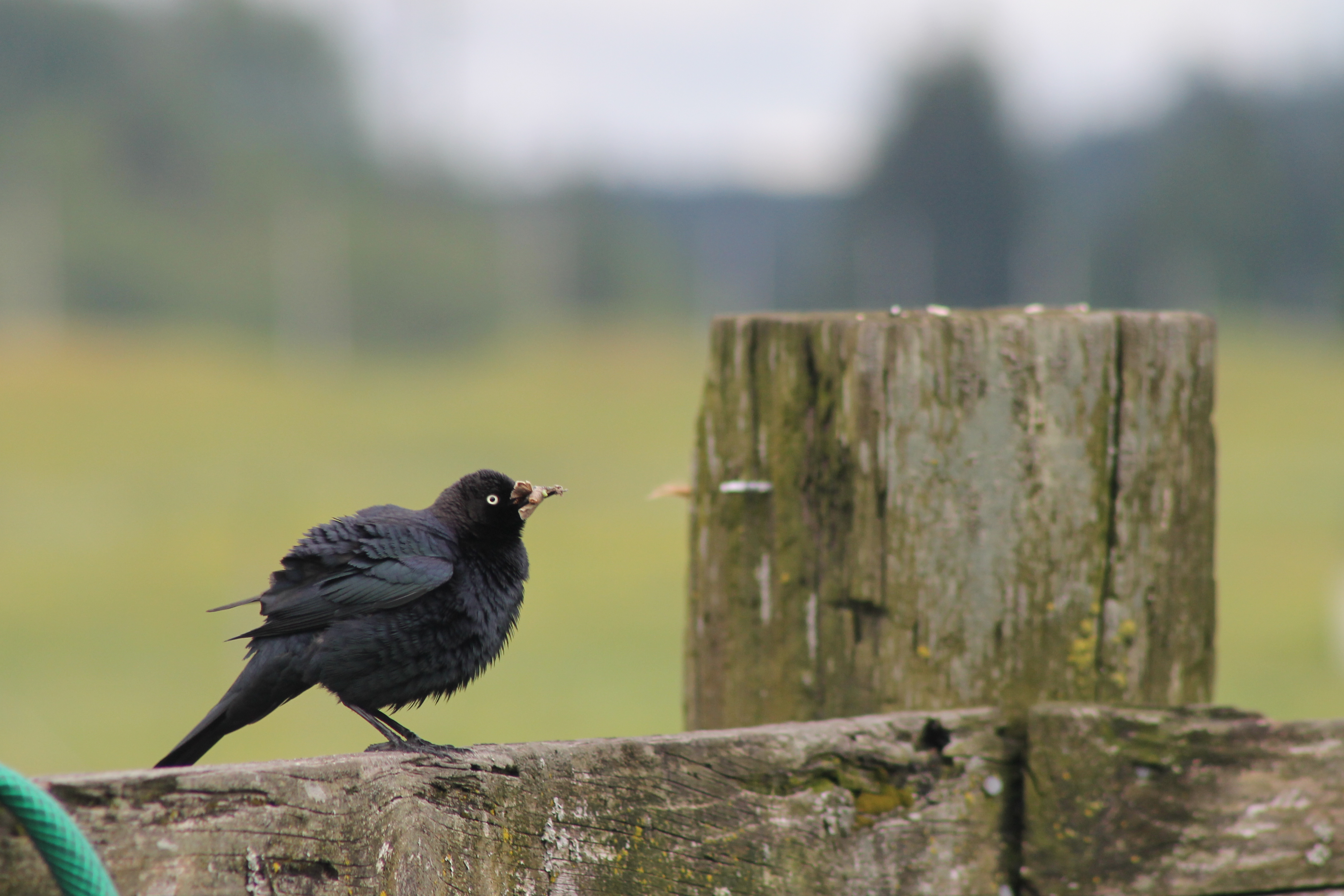
IMG_1103 Female Brewers Blackbird
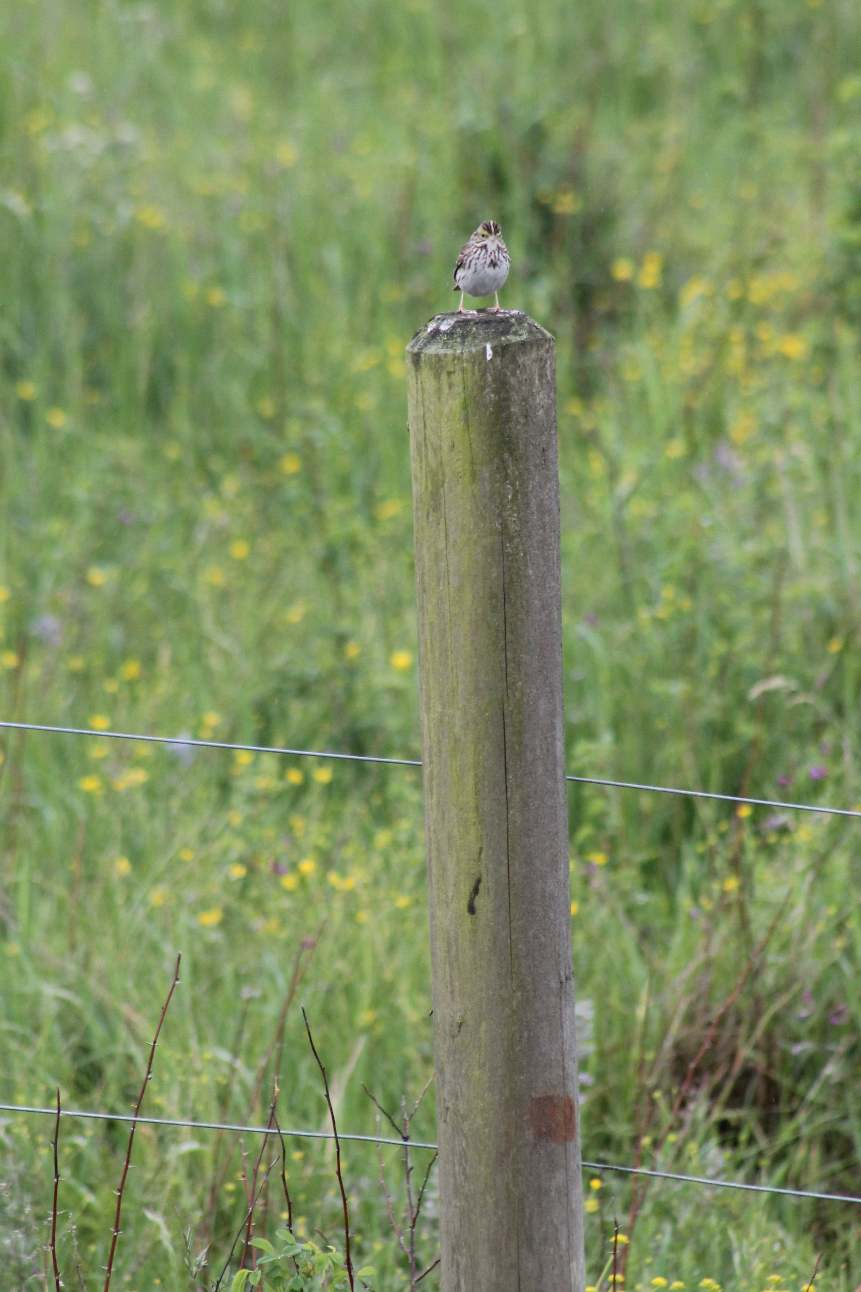
IMG_1050 Savannah Sparrow

IMG_6349 Northern Shrike - Lanius excubitor
IMG_1096 Male Brewers Blackbird
Fly Ball.... er.... Rock....

IMG_1022 Violet-Green Swallow

The Mummy Lives!
fan view

DSCN1621.JPG
DSCN1625.JPG

DSCN1622.JPG
Coldwater Lake hike
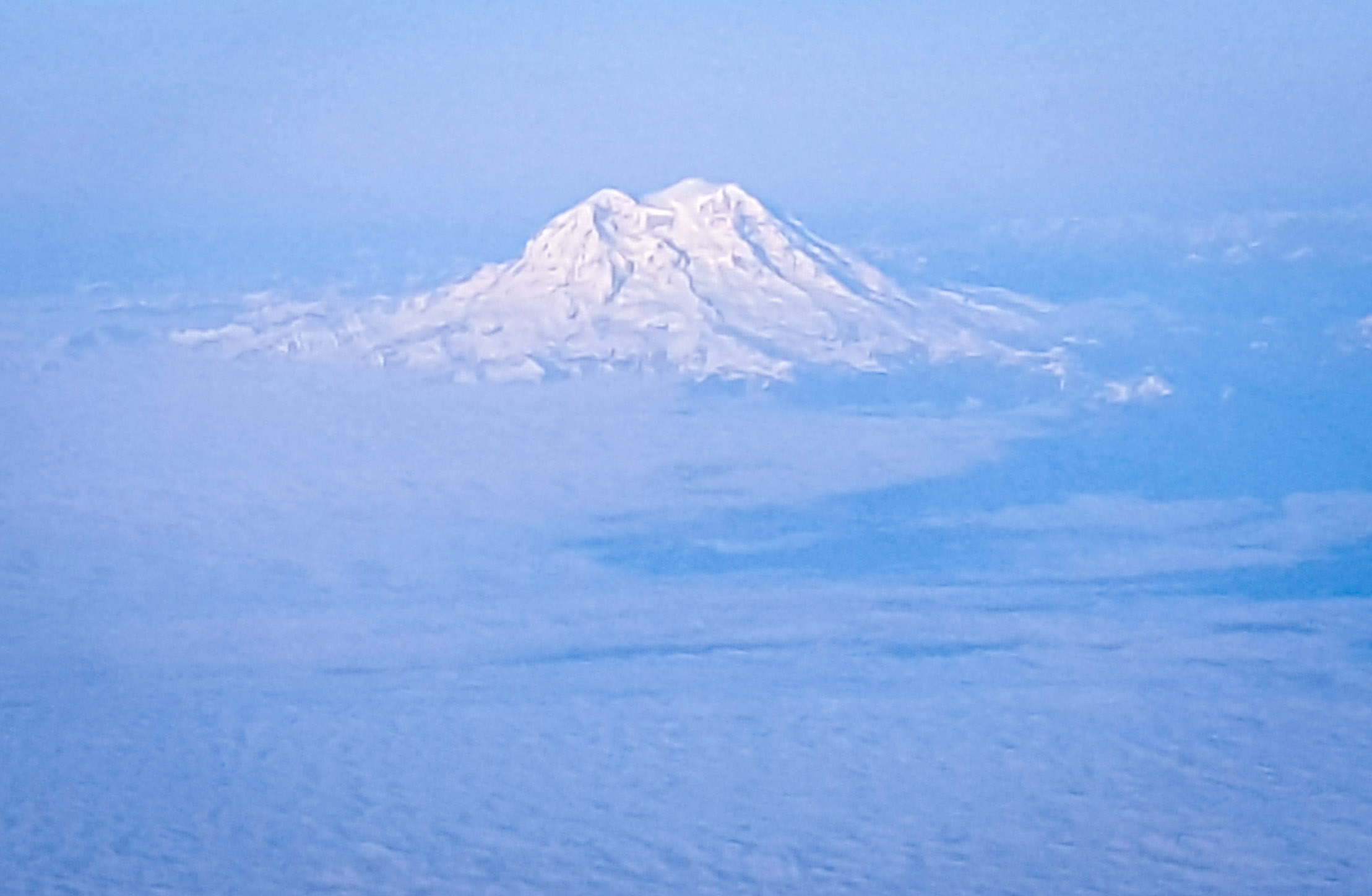
Mt. Rainier: on approach to Seattle
On break, I just had to run out the back roller door to get this. #nofilter #nojoke

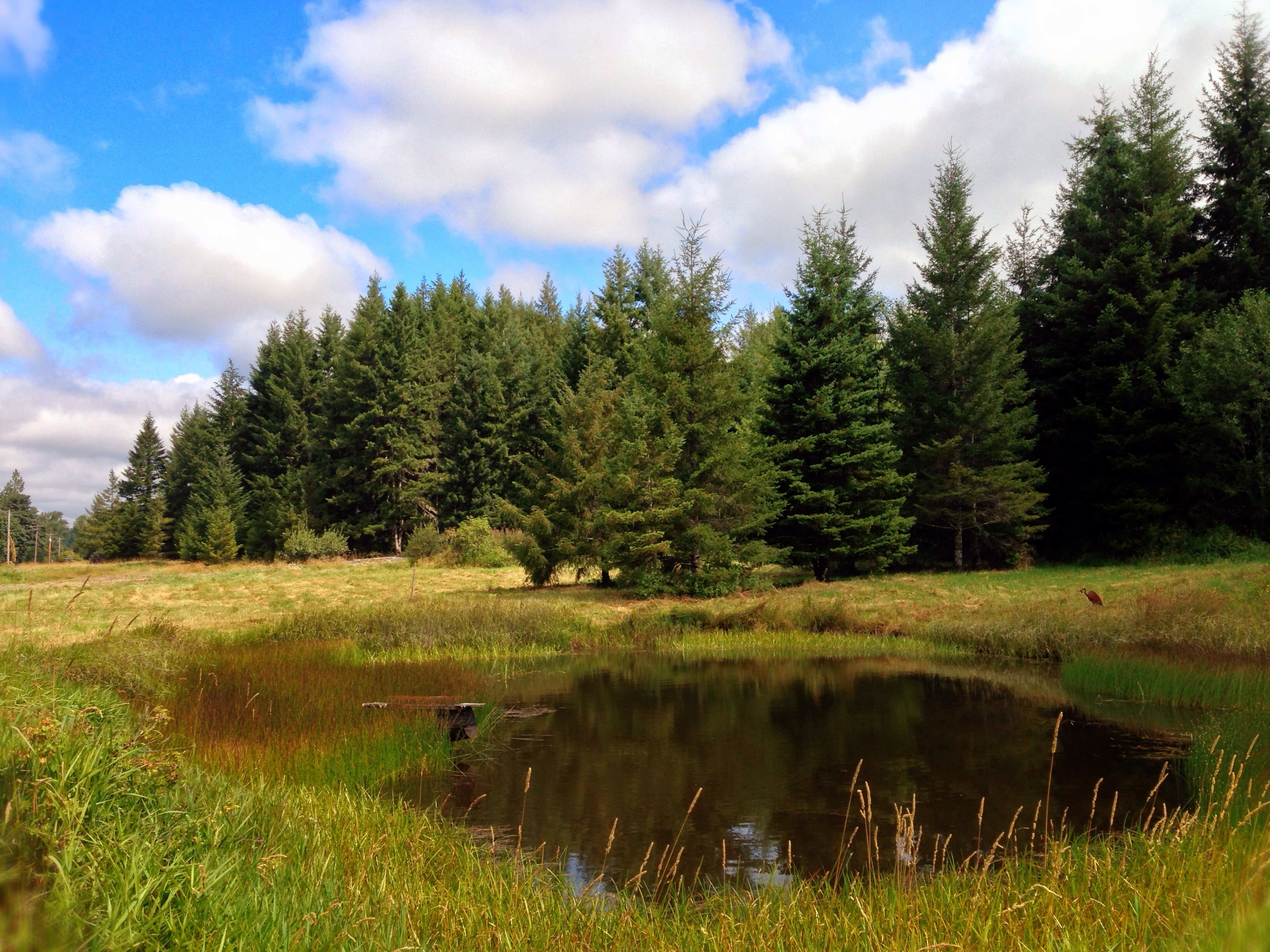
Poplar Tree Plantation
Opened the back gate at work to see this.

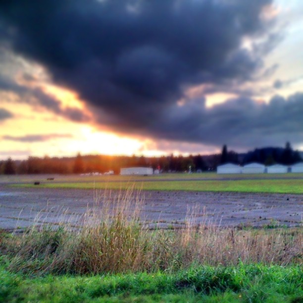
Lovely sunset yesterday.

zoom cow

a poplar place to be
Sydney, New South Wales. Australia.

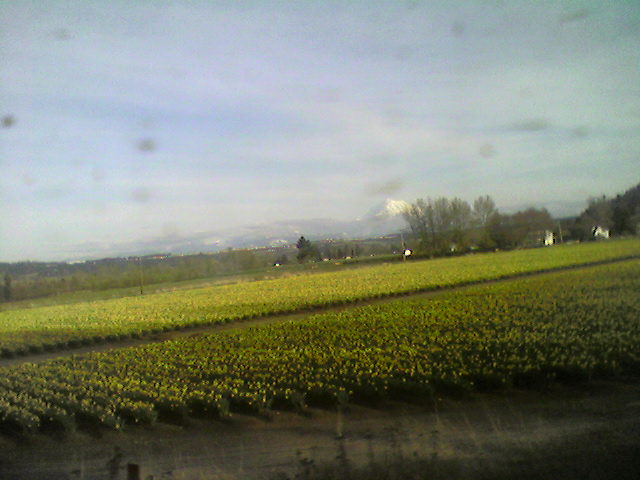
Poplar Tree Plantation, Lewis County, Washington, 2015
#DeepCreekRoad

Our Dog Halle

Seminary Hill II

Spring time's here.

07-20-2011 Flowers in Front Yard (13) (Large)

Chehalis River

Barn and Silo, Adna, Washington, 2015
#PartlyCloudy
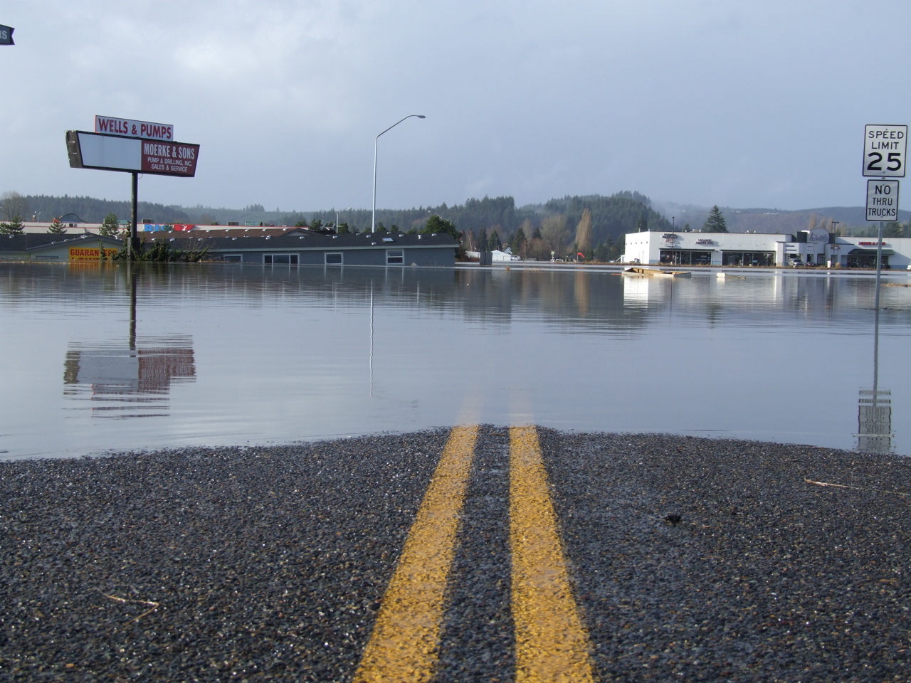
Road Closed
squid-tree
310 Train riding
Topographic Map of N Oak St, Centralia, WA, USA
Find elevation by address:

Places near N Oak St, Centralia, WA, USA:
Centralia
512 W Cherry St
510 E Locust St
1217 H St
400 W Summa St
1301 N Washington Ave
106 N Green St
North Green Street
104 S Green St
605 Byrd St
105 N Baker St
North Baker Street
1437 Lois Ln
1402 W Roanoke St
1709 Shamrock Dr
2455 Borst Ave
1907 Shamrock Dr
2064 Cooks Hill Rd
151 Davis Hill Rd
1818 Ham Hill Rd
Recent Searches:
- Elevation of Clifton Down, Clifton, Bristol, City of Bristol, England, BS8 3HU, United Kingdom
- Elevation map of Auvergne-Rhône-Alpes, France
- Elevation map of Upper Savoy, Auvergne-Rhône-Alpes, France
- Elevation of Chamonix-Mont-Blanc, Upper Savoy, Auvergne-Rhône-Alpes, France
- Elevation of 908, Northwood Drive, Bridge Field, Chesapeake, Virginia, 23322, USA
- Elevation map of Nagano Prefecture, Japan
- Elevation of 587, Bascule Drive, Oakdale, Stanislaus County, California, 95361, USA
- Elevation of Stadion Wankdorf, Sempachstrasse, Breitfeld, Bern, Bern-Mittelland administrative district, Bern, 3014, Switzerland
- Elevation of Z024, 76, Emil-von-Behring-Straße, Marbach, Marburg, Landkreis Marburg-Biedenkopf, Hesse, 35041, Germany
- Elevation of Gaskill Road, Hunts Cross, Liverpool, England, L24 9PH, United Kingdom
- Elevation of Speke, Liverpool, England, L24 9HD, United Kingdom
- Elevation of Seqirus, 475, Green Oaks Parkway, Holly Springs, Wake County, North Carolina, 27540, USA
- Elevation of Pasing, Munich, Bavaria, 81241, Germany
- Elevation of 24, Auburn Bay Crescent SE, Auburn Bay, Calgary, Alberta, T3M 0A6, Canada
- Elevation of Denver, 2314, Arapahoe Street, Five Points, Denver, Colorado, 80205, USA
- Elevation of Community of the Beatitudes, 2924, West 43rd Avenue, Sunnyside, Denver, Colorado, 80211, USA
- Elevation map of Litang County, Sichuan, China
- Elevation map of Madoi County, Qinghai, China
- Elevation of 3314, Ohio State Route 114, Payne, Paulding County, Ohio, 45880, USA
- Elevation of Sarahills Drive, Saratoga, Santa Clara County, California, 95070, USA