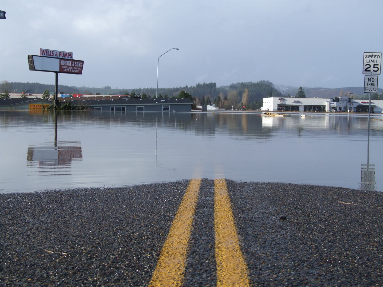
Elevation of Cooks Hill Rd, Centralia, WA, USA
Location: United States > Washington > Lewis County > Centralia >
Longitude: -122.98833
Latitude: 46.7133237
Elevation: 57m / 187feet
Barometric Pressure: 101KPa
Elevation Map:
Satellite Map:
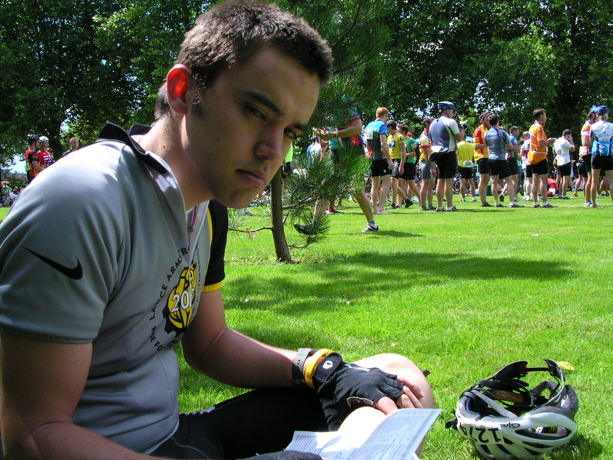
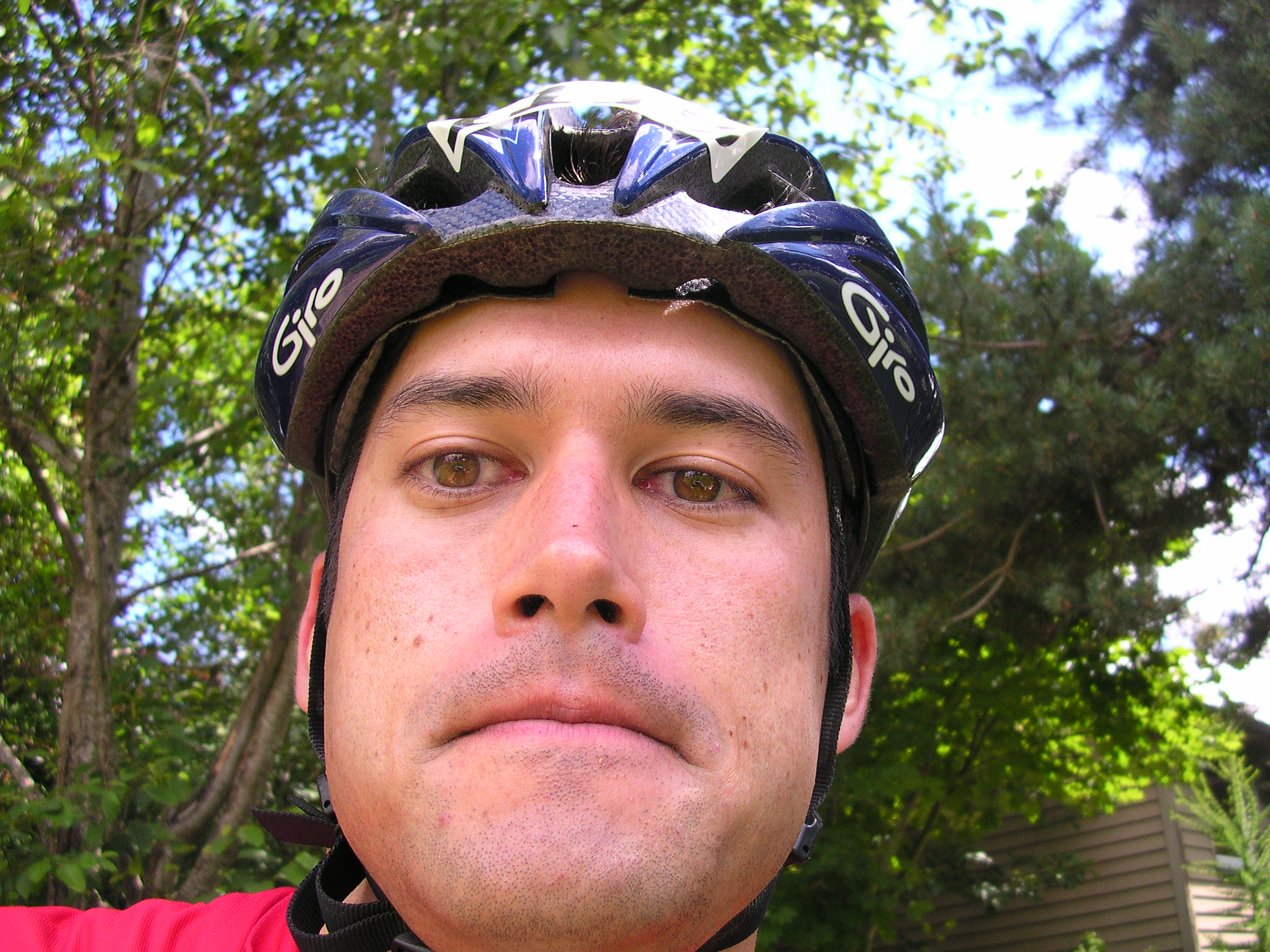
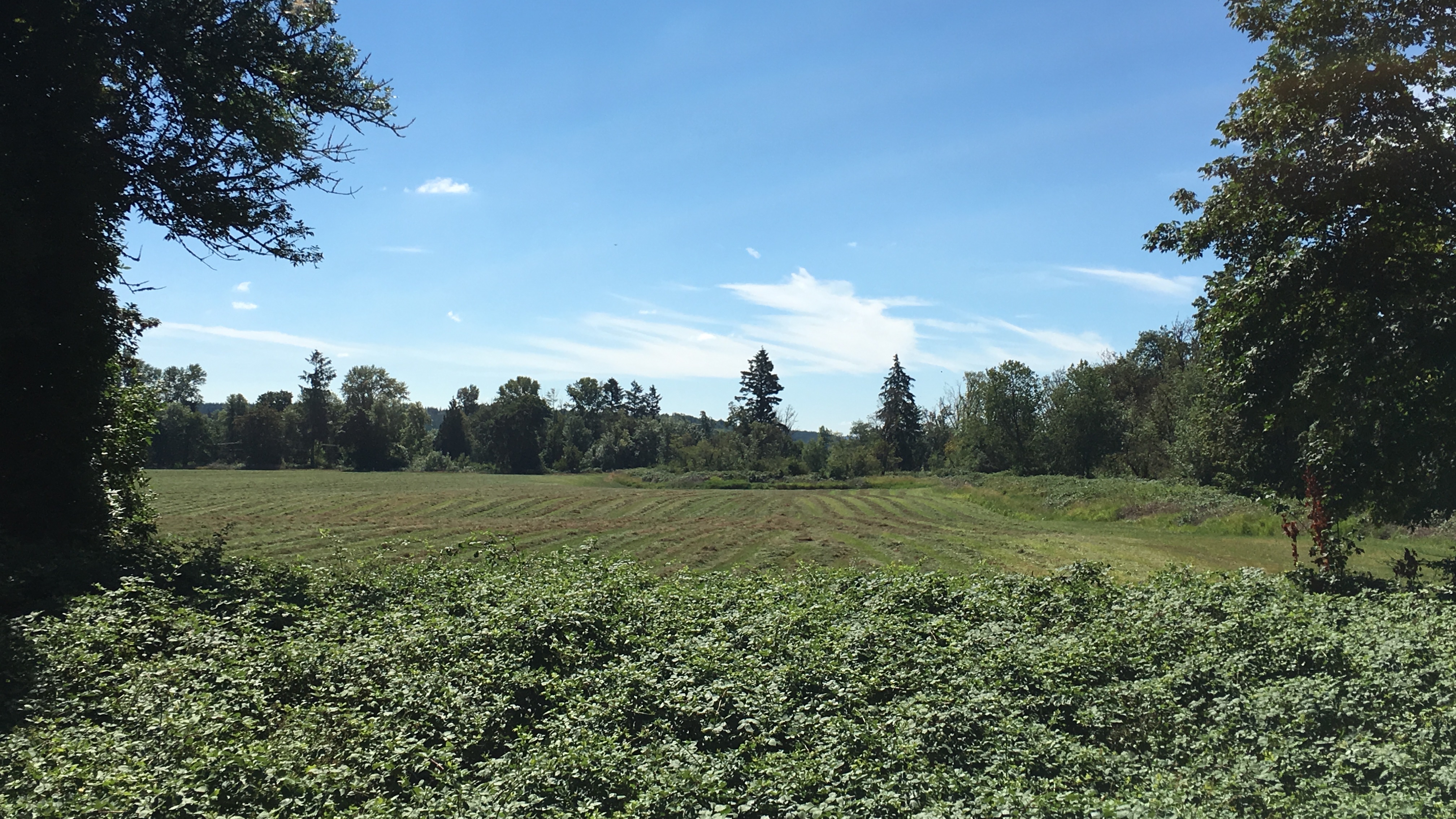
Related Photos:

Aerial view of I-5 in Chehalis

Governor Gregoire

IMG_2258 Red-tailed Hawk carrying Duck prey

The Mummy Lives!
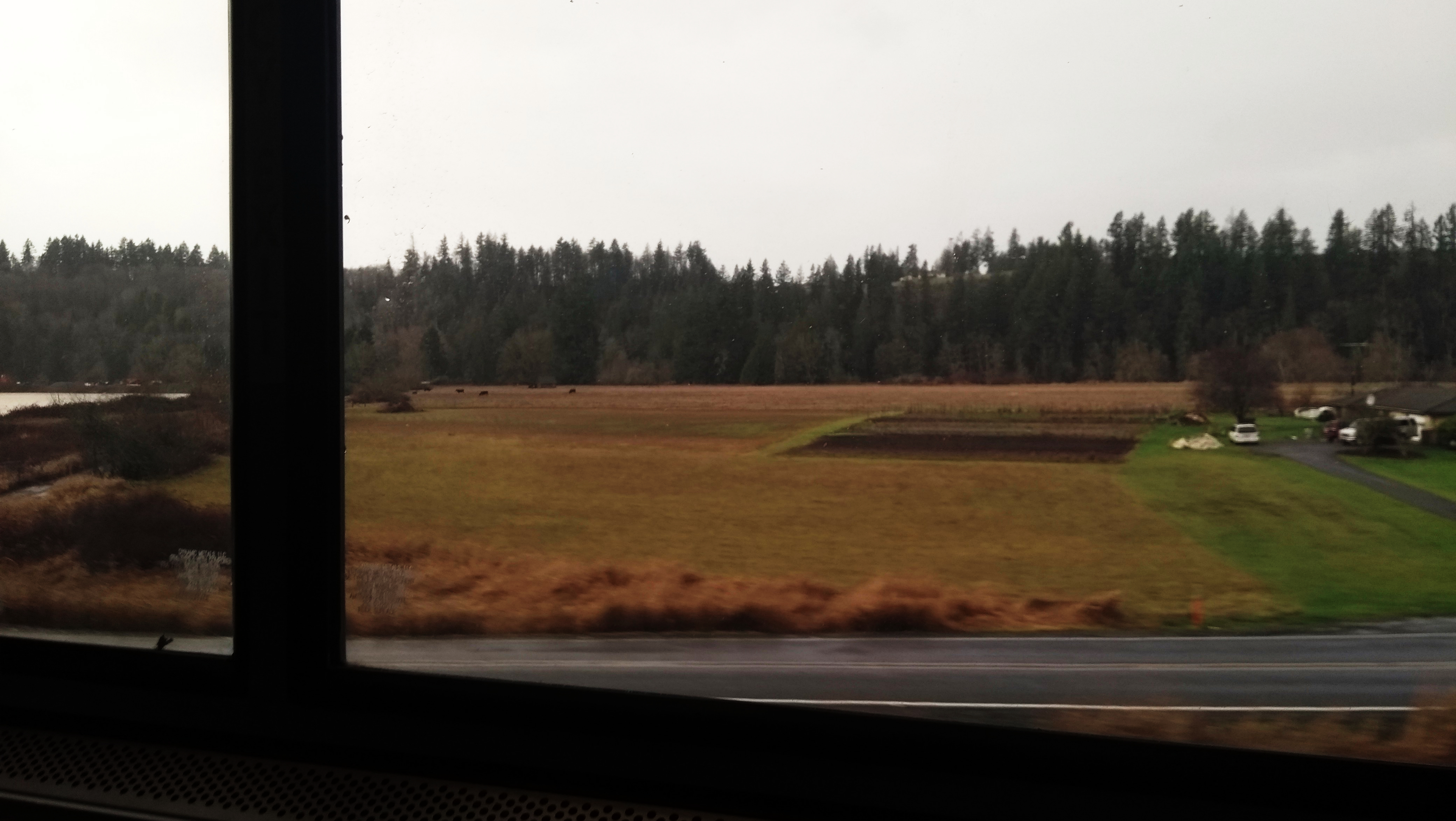
View from Coast Starlight
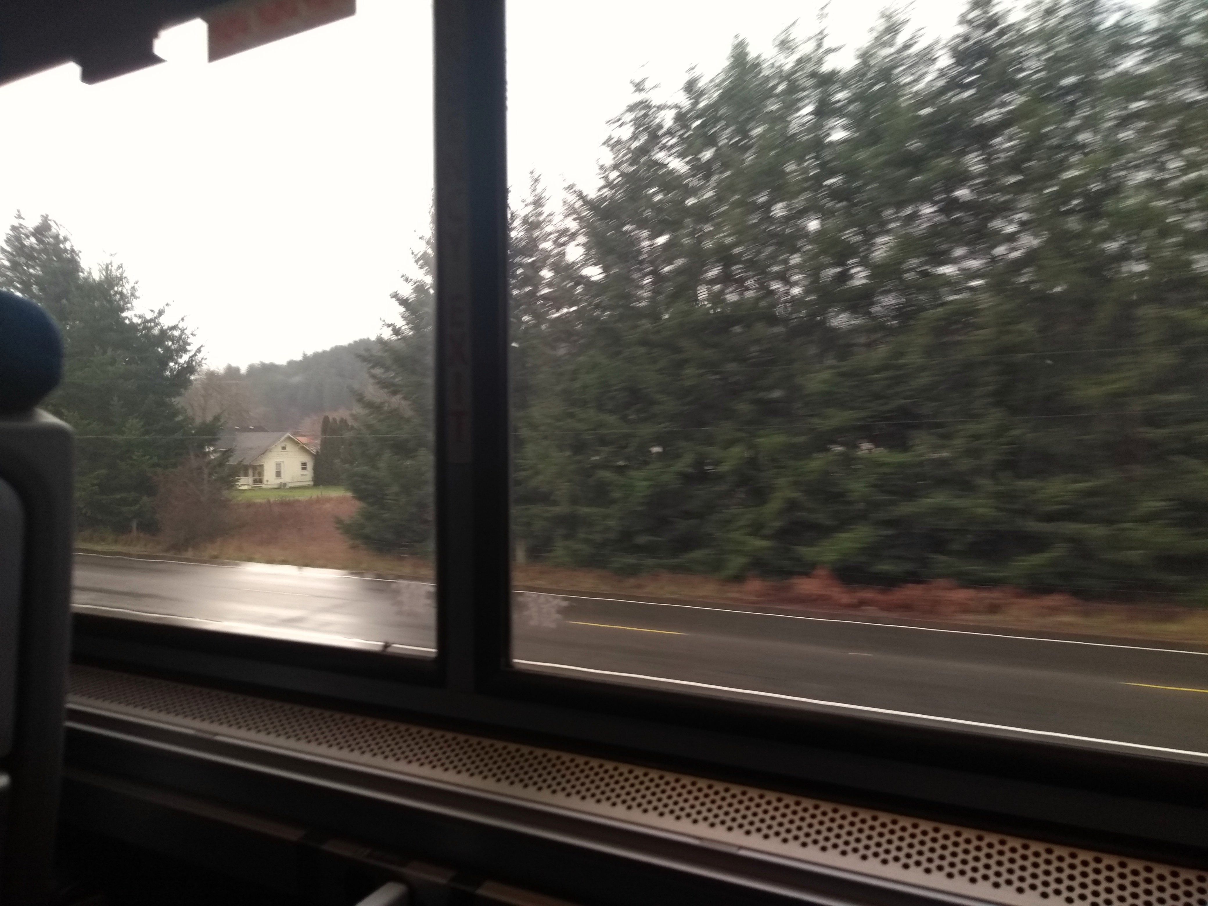
Coast Starlight view
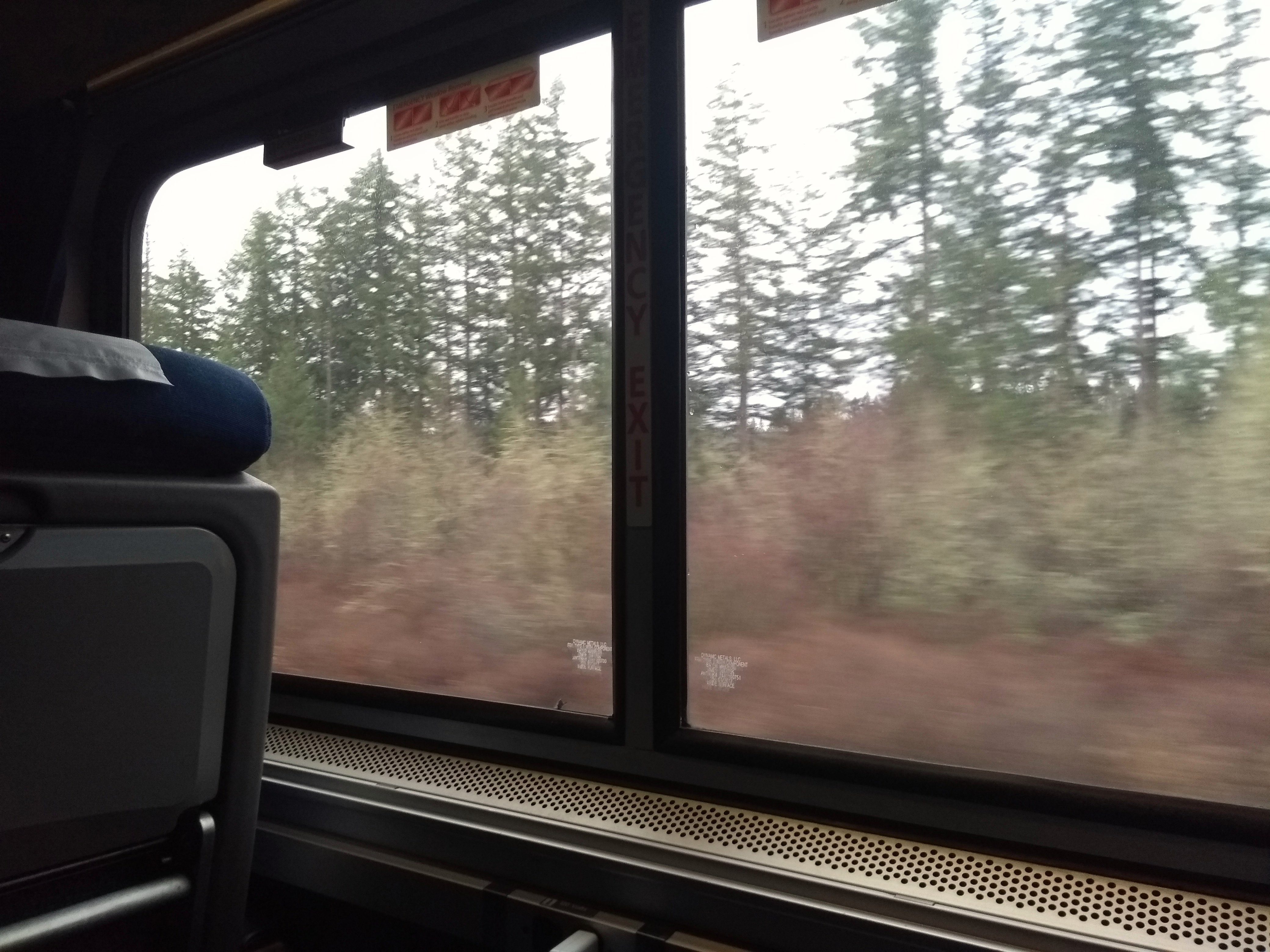
View from Coast Starlight
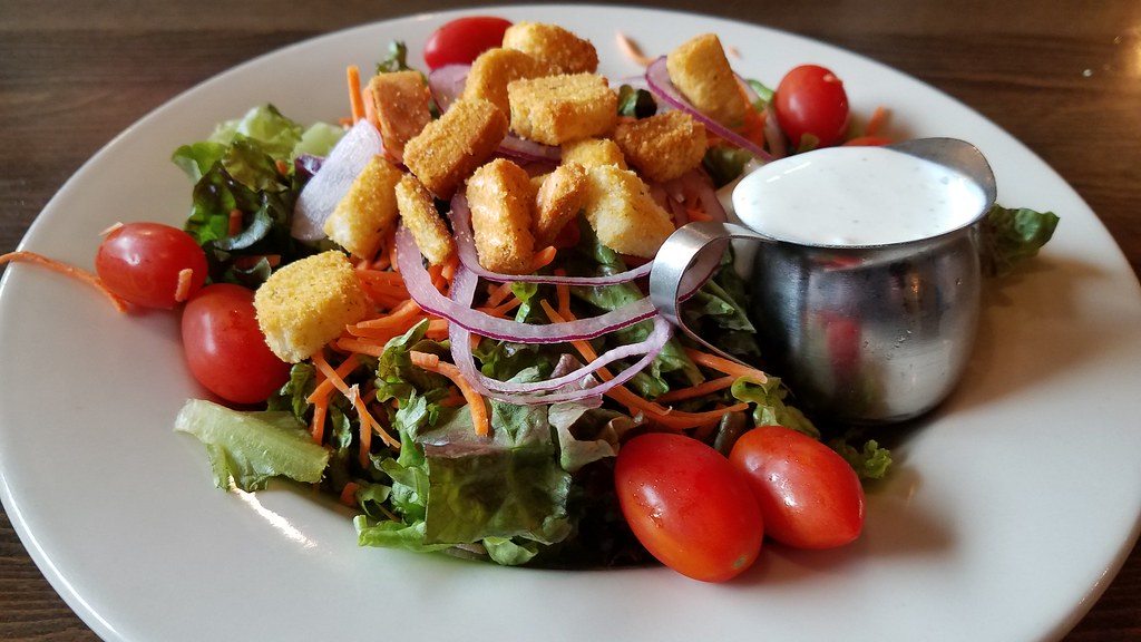
I'm on my way to Seattle stopped here for my lunch
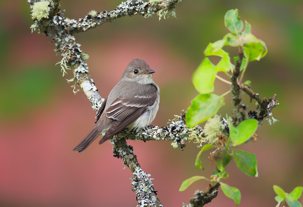
Western Wood-Pewee

Snow and rain

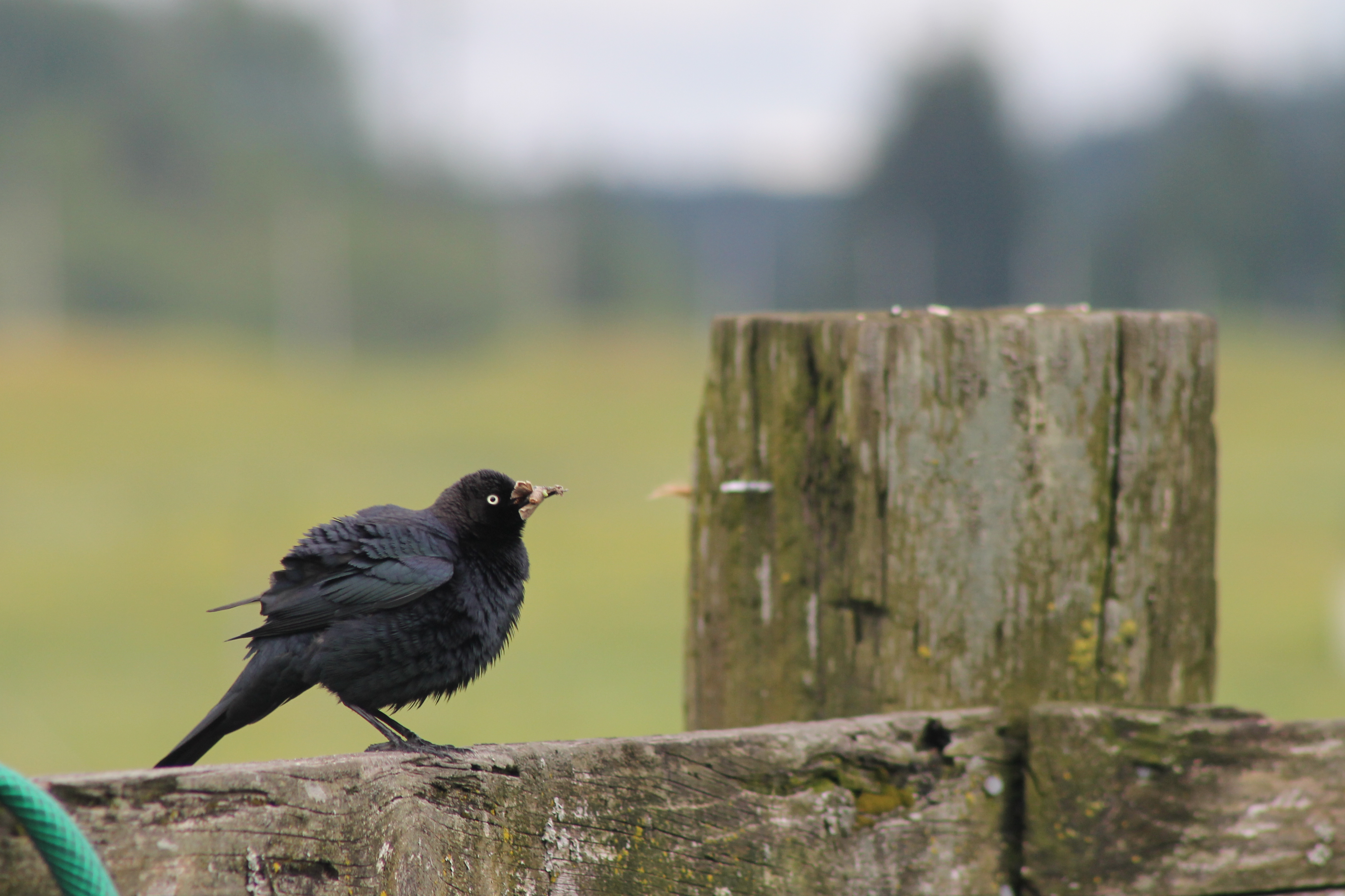
IMG_1103 Female Brewers Blackbird
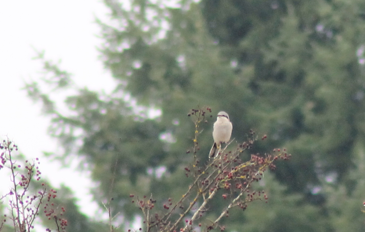
IMG_6349 Northern Shrike - Lanius excubitor
IMG_1096 Male Brewers Blackbird
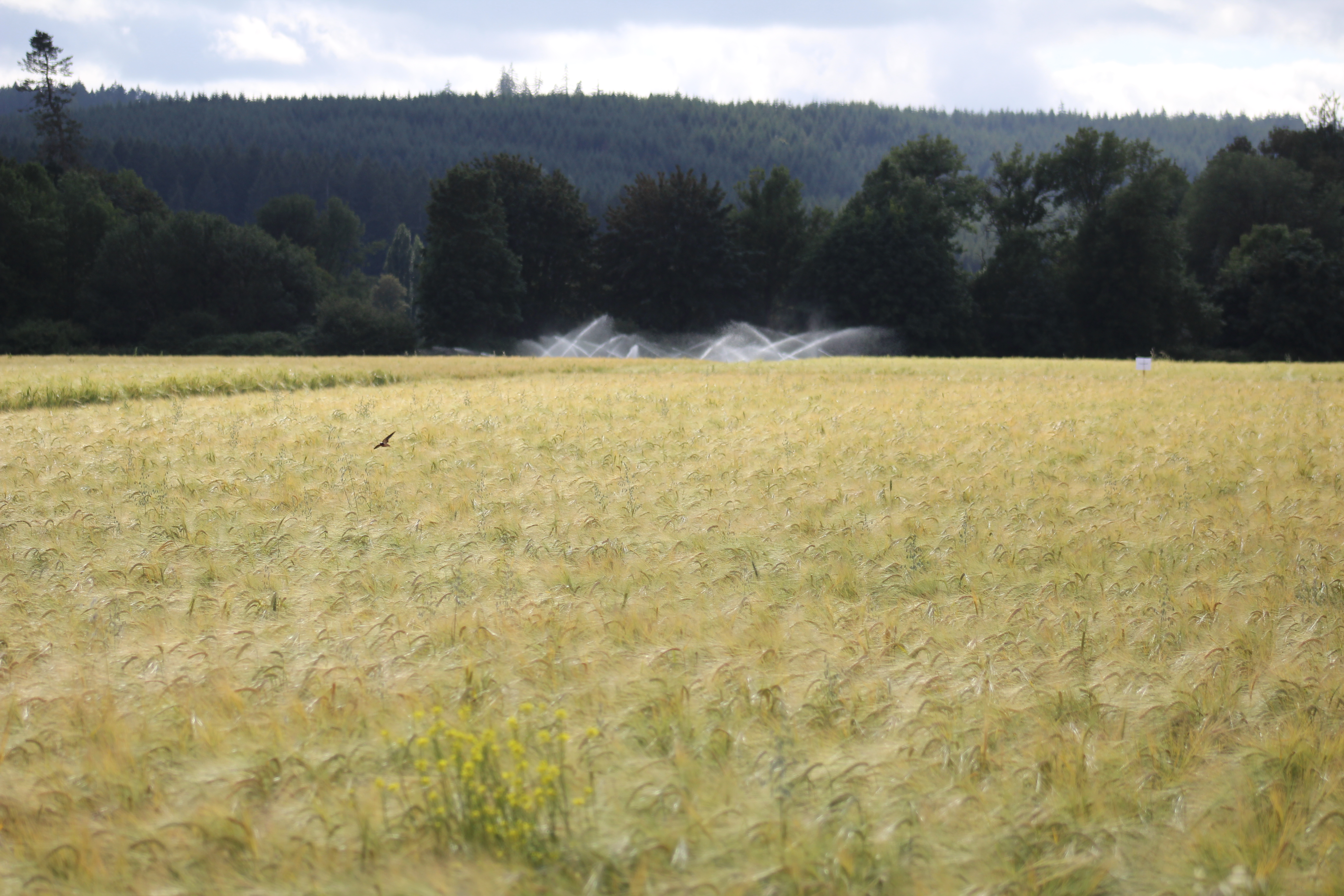
IMG_9011 Reisinger Farms barley field
DSCN1625.JPG

DSCN1622.JPG
DSCN1624.JPG

IMG_9944 Common Ravens
08042018-34
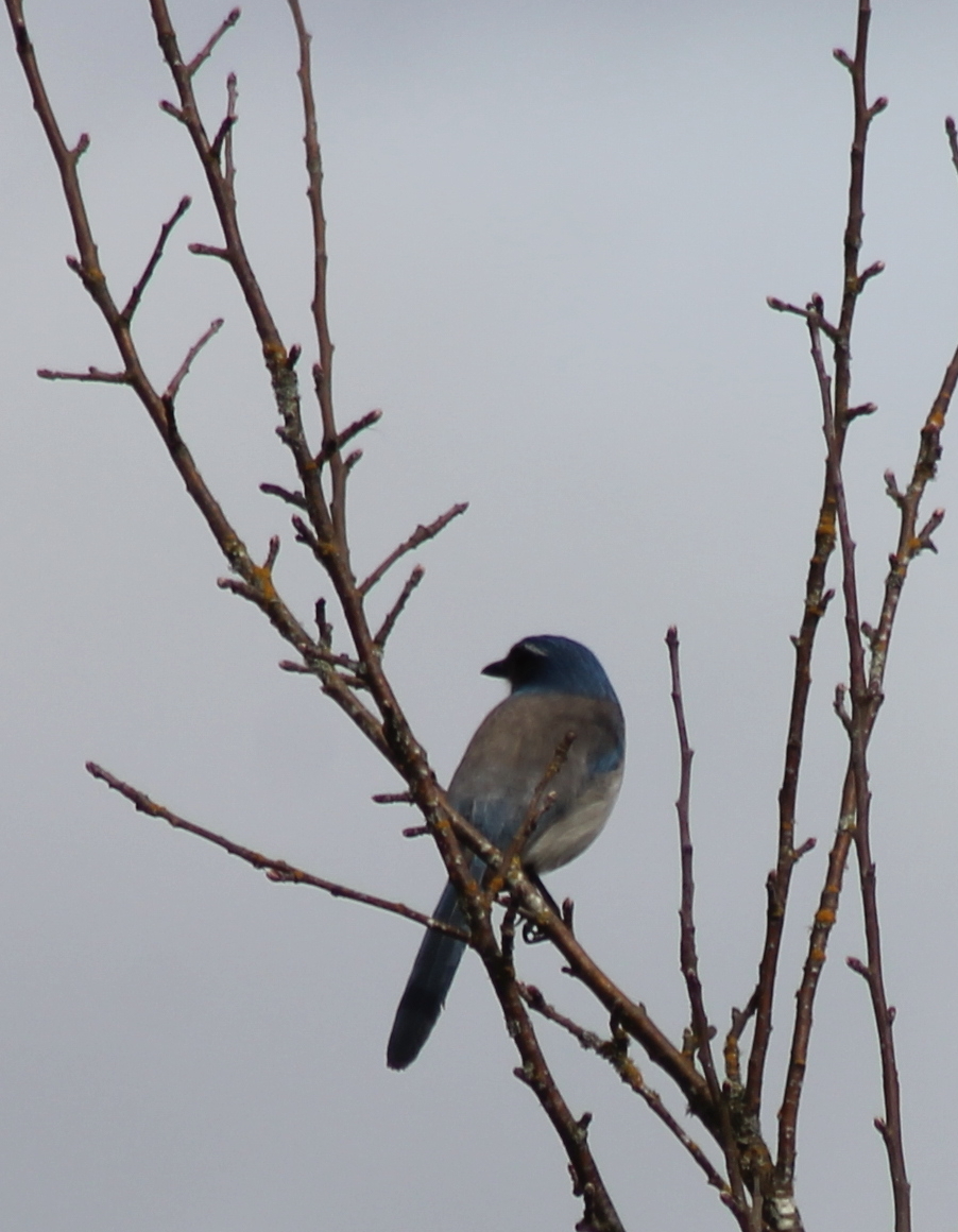
IMG_9968 Western Scrub Jay - Aphelocoma californica immanis

a2001-15-04

Poplar Tree Plantation

My new job
Chehalis 17
Poplar Tree Plantation, Lewis County, Washington, 2015

Chehalis-Centralia Railroad 17
mist and barn

Lovely sunset yesterday.
07.06 - Nacho Trip 07
Road Closed

a poplar place to be
Sydney, New South Wales. Australia.
#DeepCreekRoad

Poplar Tree Plantation, Lewis County, Washington, 2015

Spring time's here.

Our Dog Halle
#PartlyCloudy
squid-tree

Barn and Silo, Adna, Washington, 2015
07-20-2011 Flowers in Front Yard (1) (Large)

#forrest

Horseshoe Bend
Topographic Map of Cooks Hill Rd, Centralia, WA, USA
Find elevation by address:

Places near Cooks Hill Rd, Centralia, WA, USA:
1907 Shamrock Dr
1709 Shamrock Dr
3030 Borst Ave
3110 Borst Ave
2455 Borst Ave
1020 Swanson Dr
1304 Greenwood Ln
3324 Cooks Hill Rd
400 W Summa St
512 W Cherry St
272 Blanchard Rd
112 N Oak St
1437 Lois Ln
1301 N Washington Ave
264 River Heights Rd
1402 W Roanoke St
1217 H St
Centralia
1601 Nw Louisiana Ave
510 E Locust St
Recent Searches:
- Elevation of Corso Fratelli Cairoli, 35, Macerata MC, Italy
- Elevation of Tallevast Rd, Sarasota, FL, USA
- Elevation of 4th St E, Sonoma, CA, USA
- Elevation of Black Hollow Rd, Pennsdale, PA, USA
- Elevation of Oakland Ave, Williamsport, PA, USA
- Elevation of Pedrógão Grande, Portugal
- Elevation of Klee Dr, Martinsburg, WV, USA
- Elevation of Via Roma, Pieranica CR, Italy
- Elevation of Tavkvetili Mountain, Georgia
- Elevation of Hartfords Bluff Cir, Mt Pleasant, SC, USA