Elevation of H St, Centralia, WA, USA
Location: United States > Washington > Lewis County > Centralia >
Longitude: -122.9594906
Latitude: 46.7295963
Elevation: 58m / 190feet
Barometric Pressure: 0KPa
Related Photos:
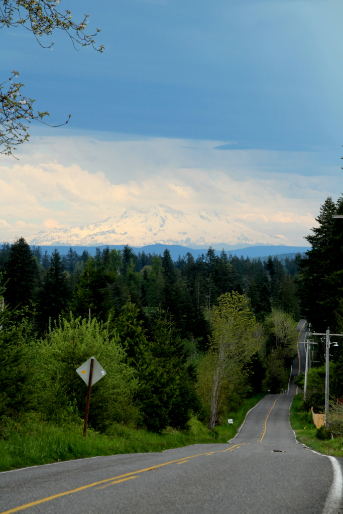
Grey Highway

a2001-15-04

Aerial view of I-5 in Chehalis

Empire of Liberty: A History of the Early Republic, 1789-1815, by Gordon S. Wood

Aerial view of I-5 in Chehalis

Snow and rain

Governor Gregoire

IMG_1103 Female Brewers Blackbird

a2003-14-31
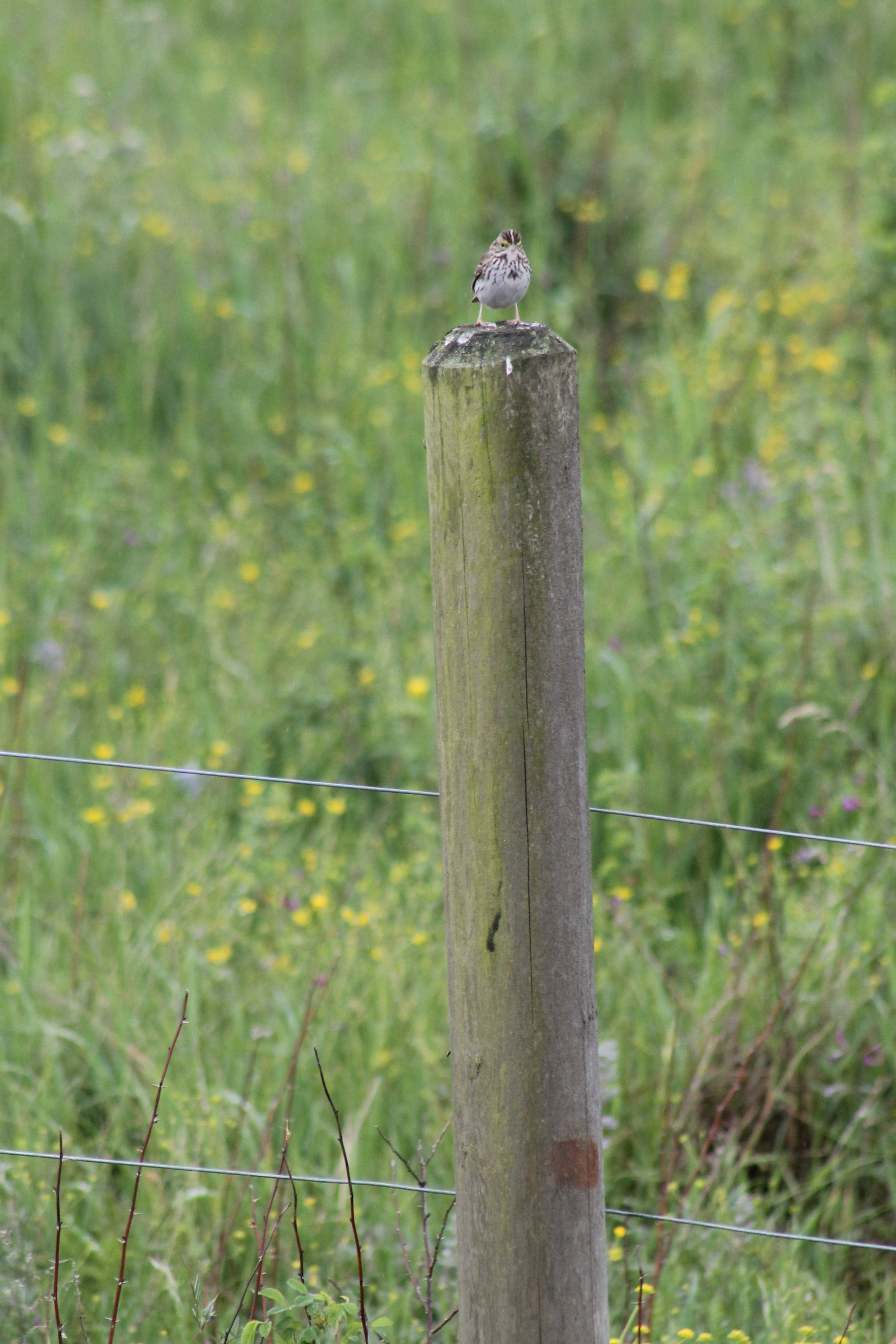
IMG_1050 Savannah Sparrow

IMG_2258 Red-tailed Hawk carrying Duck prey

IMG_6349 Northern Shrike - Lanius excubitor

IMG_1096 Male Brewers Blackbird
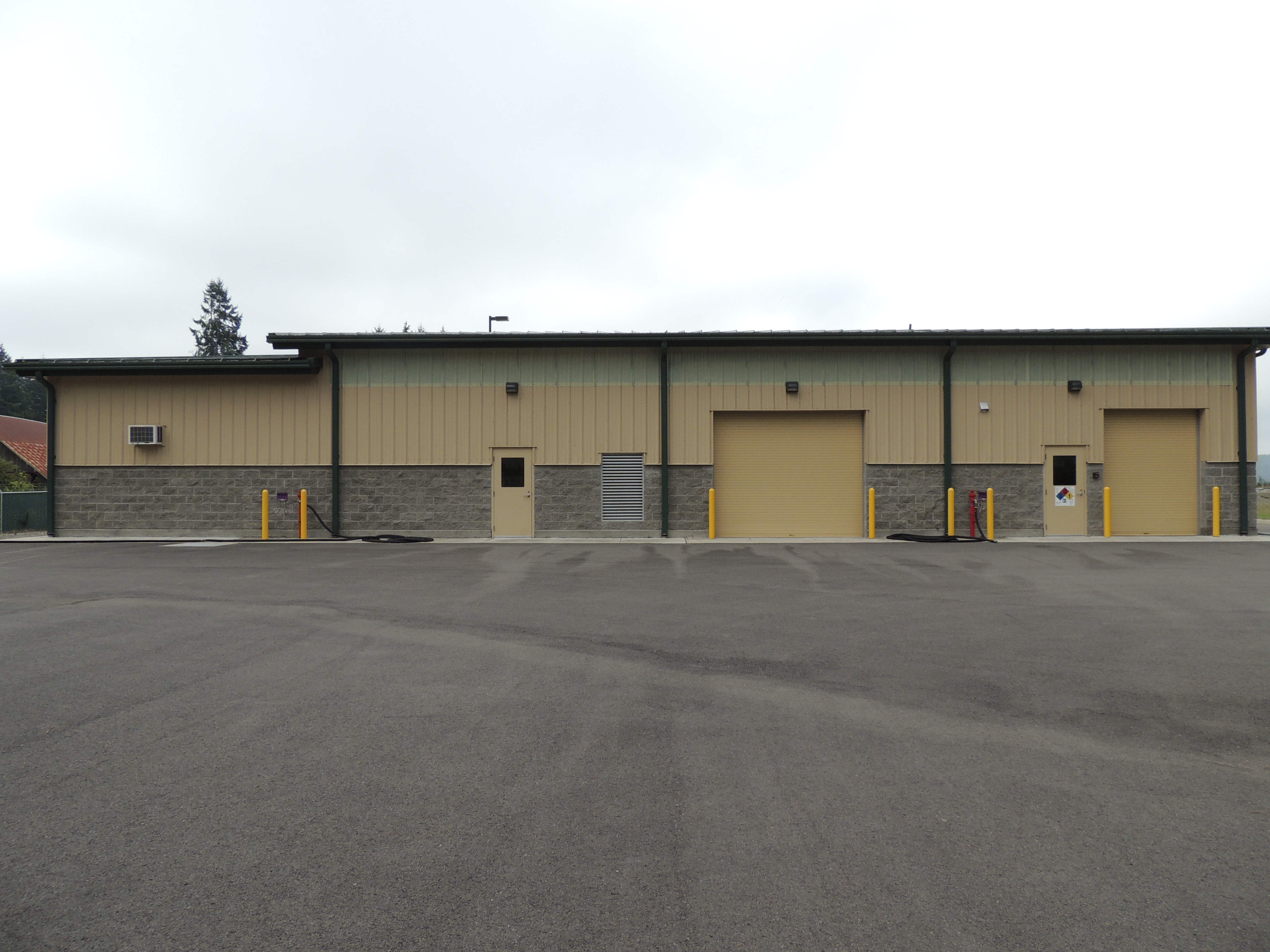
Tenino WWTP, north side view

fan view
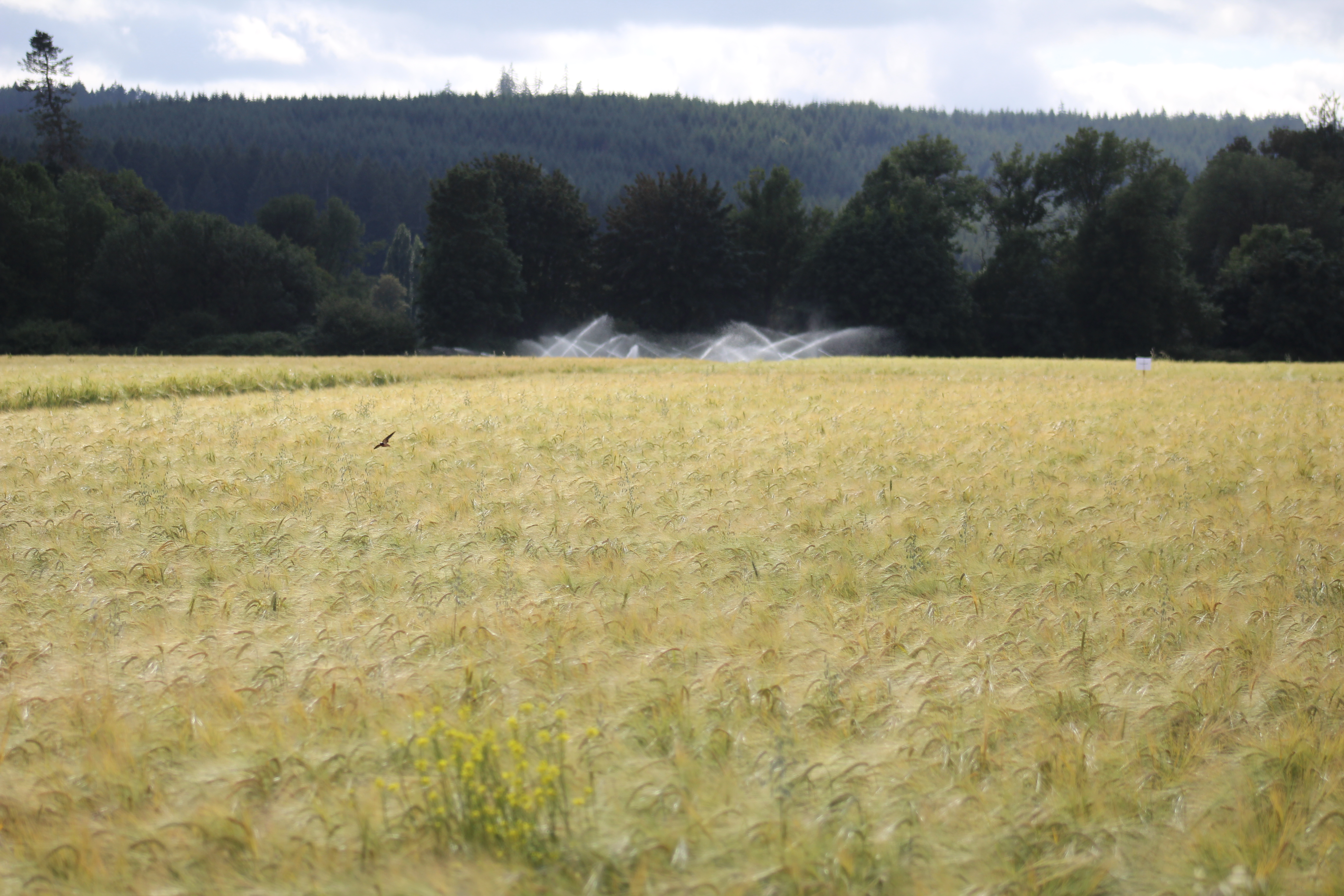
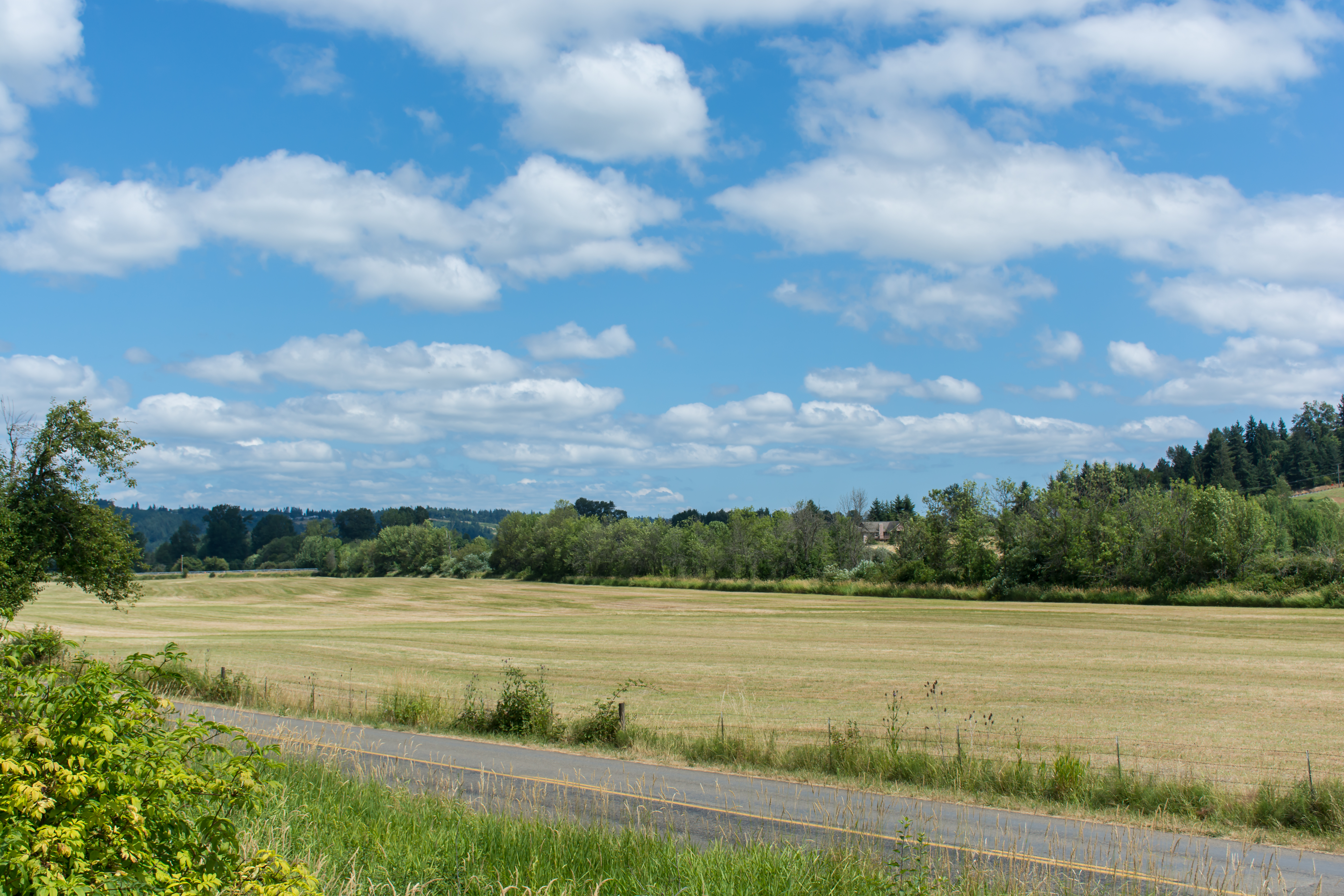
IMG_9011 Reisinger Farms barley field

DSCN1622.JPG
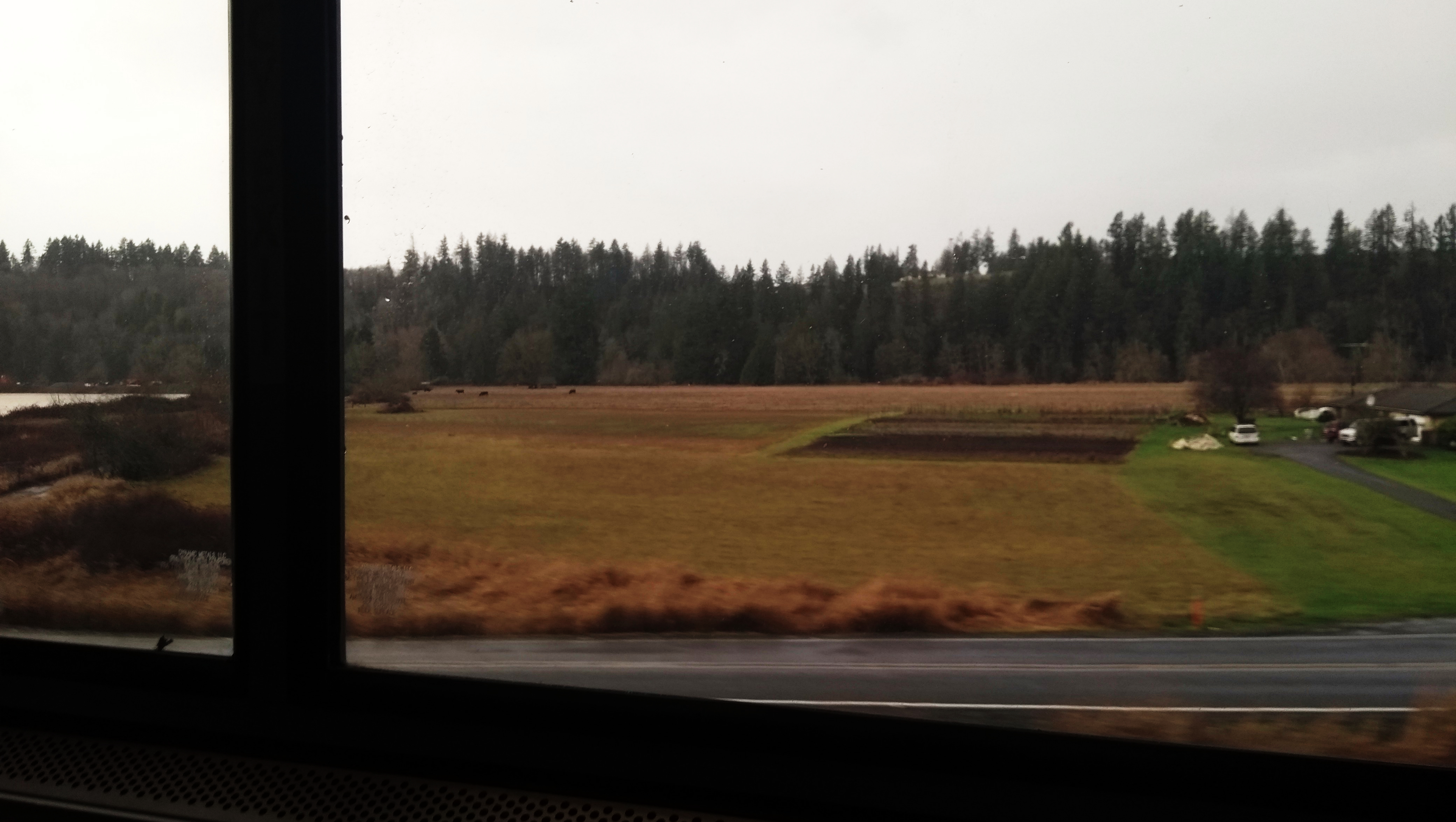
View from Coast Starlight

DSCN1624.JPG
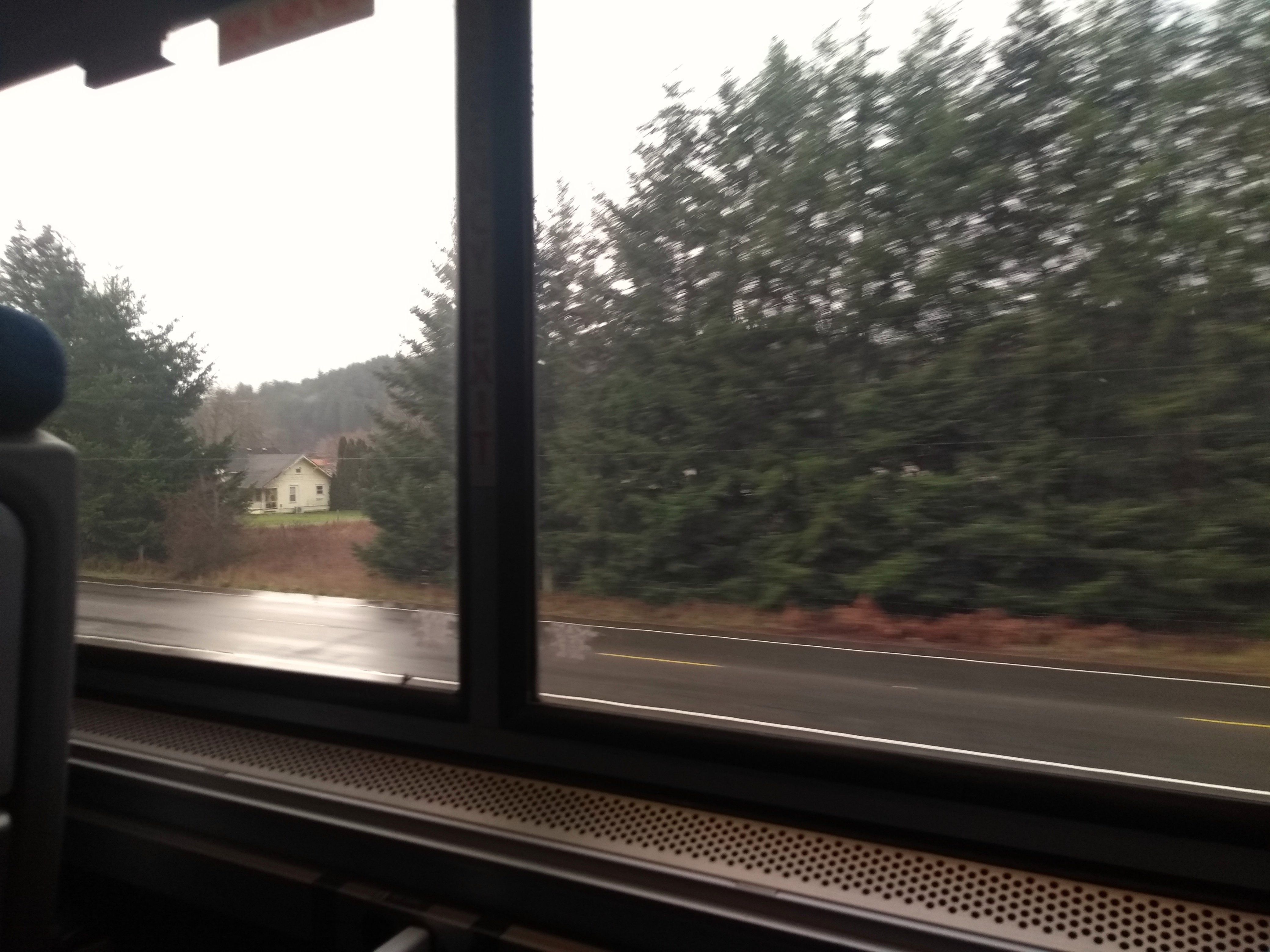
Coast Starlight view

IMG_9944 Common Ravens
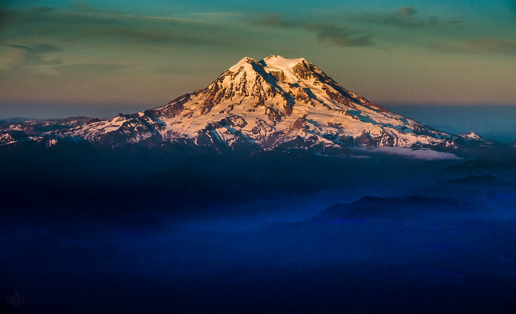
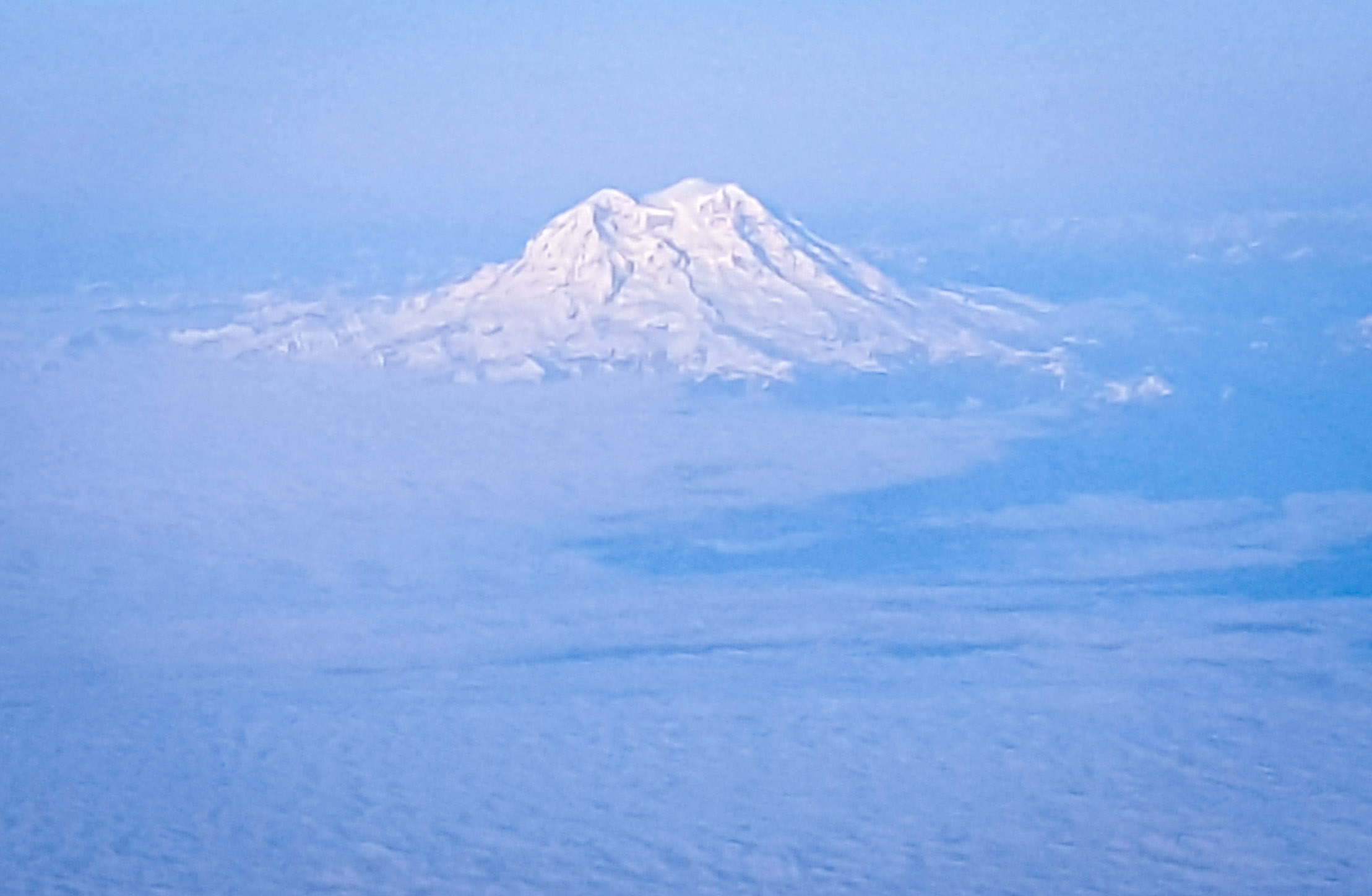
Mt. Rainier: on approach to Seattle

Poplar Tree Plantation
Chehalis 17

Chehalis-Centralia Railroad 17
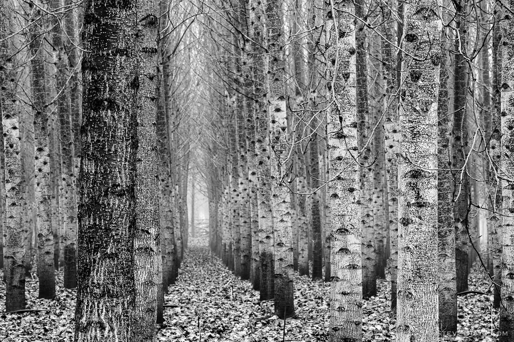
Poplar Tree Plantation, Lewis County, Washington, 2015
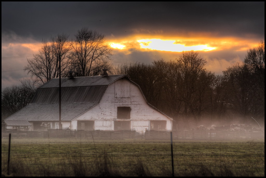
mist and barn

Lovely sunset yesterday.
07.06 - Nacho Trip 07
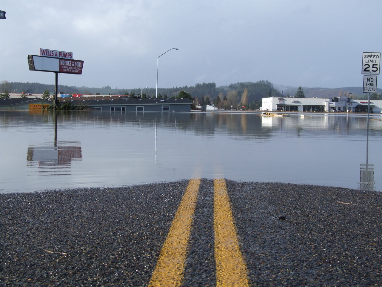
Road Closed

a poplar place to be

Tenino WWTP Solids Handling Lagoon
Sydney, New South Wales. Australia.
#DeepCreekRoad

Poplar Tree Plantation, Lewis County, Washington, 2015

Spring time's here.

Our Dog Halle
#PartlyCloudy
squid-tree

Barn and Silo, Adna, Washington, 2015
07-20-2011 Flowers in Front Yard (1) (Large)

#forrest
Topographic Map of H St, Centralia, WA, USA
Find elevation by address:

Places near H St, Centralia, WA, USA:
1301 N Washington Ave
1402 W Roanoke St
112 N Oak St
Centralia
605 Byrd St
512 W Cherry St
151 Davis Hill Rd
510 E Locust St
North Green Street
106 N Green St
104 S Green St
North Baker Street
105 N Baker St
2455 Borst Ave
400 W Summa St
1437 Lois Ln
183 Halliday Rd
501 Downing Rd
1818 Ham Hill Rd
1709 Shamrock Dr
Recent Searches:
- Elevation of Window Rock, Colfax County, New Mexico, 87714, USA
- Elevation of 4807, Rosecroft Street, Kempsville Gardens, Virginia Beach, Virginia, 23464, USA
- Elevation map of Matawinie, Quebec, Canada
- Elevation of Sainte-Émélie-de-l'Énergie, Matawinie, Quebec, Canada
- Elevation of Rue du Pont, Sainte-Émélie-de-l'Énergie, Matawinie, Quebec, J0K2K0, Canada
- Elevation of 8, Rue de Bécancour, Blainville, Thérèse-De Blainville, Quebec, J7B1N2, Canada
- Elevation of Wilmot Court North, 163, University Avenue West, Northdale, Waterloo, Region of Waterloo, Ontario, N2L6B6, Canada
- Elevation map of Panamá Province, Panama
- Elevation of Balboa, Panamá Province, Panama
- Elevation of San Miguel, Balboa, Panamá Province, Panama
- Elevation of Isla Gibraleón, San Miguel, Balboa, Panamá Province, Panama
- Elevation of 4655, Krischke Road, Schulenburg, Fayette County, Texas, 78956, USA
- Elevation of Carnegie Avenue, Downtown Cleveland, Cleveland, Cuyahoga County, Ohio, 44115, USA
- Elevation of Walhonding, Coshocton County, Ohio, USA
- Elevation of Clifton Down, Clifton, Bristol, City of Bristol, England, BS8 3HU, United Kingdom
- Elevation map of Auvergne-Rhône-Alpes, France
- Elevation map of Upper Savoy, Auvergne-Rhône-Alpes, France
- Elevation of Chamonix-Mont-Blanc, Upper Savoy, Auvergne-Rhône-Alpes, France
- Elevation of 908, Northwood Drive, Bridge Field, Chesapeake, Virginia, 23322, USA
- Elevation map of Nagano Prefecture, Japan