Elevation of Downing Rd, Centralia, WA, USA
Location: United States > Washington > Lewis County > Centralia >
Longitude: -122.94255
Latitude: 46.755186
Elevation: 63m / 207feet
Barometric Pressure: 101KPa
Elevation Map:
Satellite Map:
Related Photos:

"A good traveler has no fixed plans, and is not intent on arriving"

Aerial view of I-5 in Chehalis

Mirror view, I-5 Southbound

IMG_1055 Western Wood Pewee

Aerial view of I-5 in Chehalis
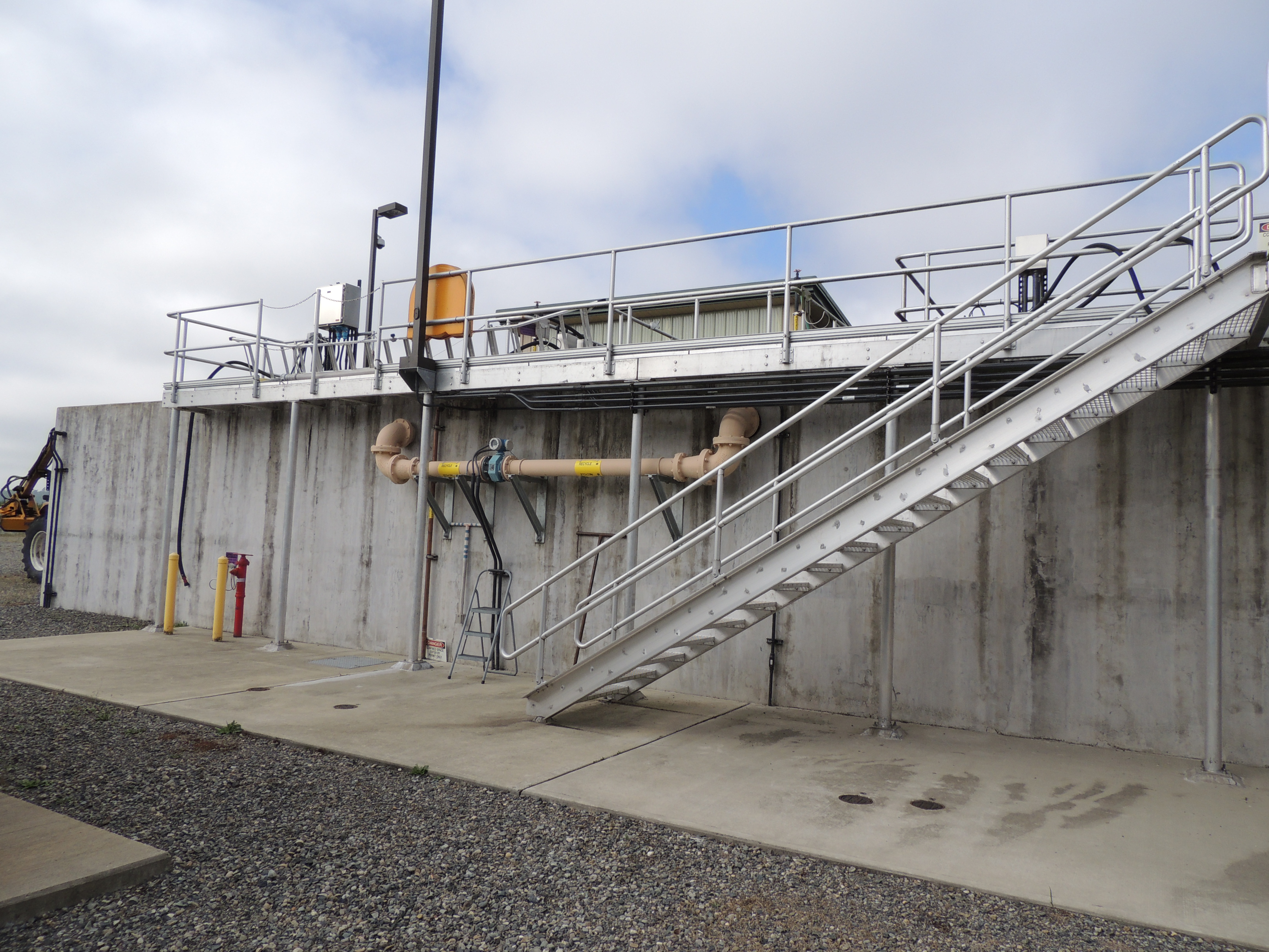
Tenino WWTP, bioreactor tankage

a2003-14-31

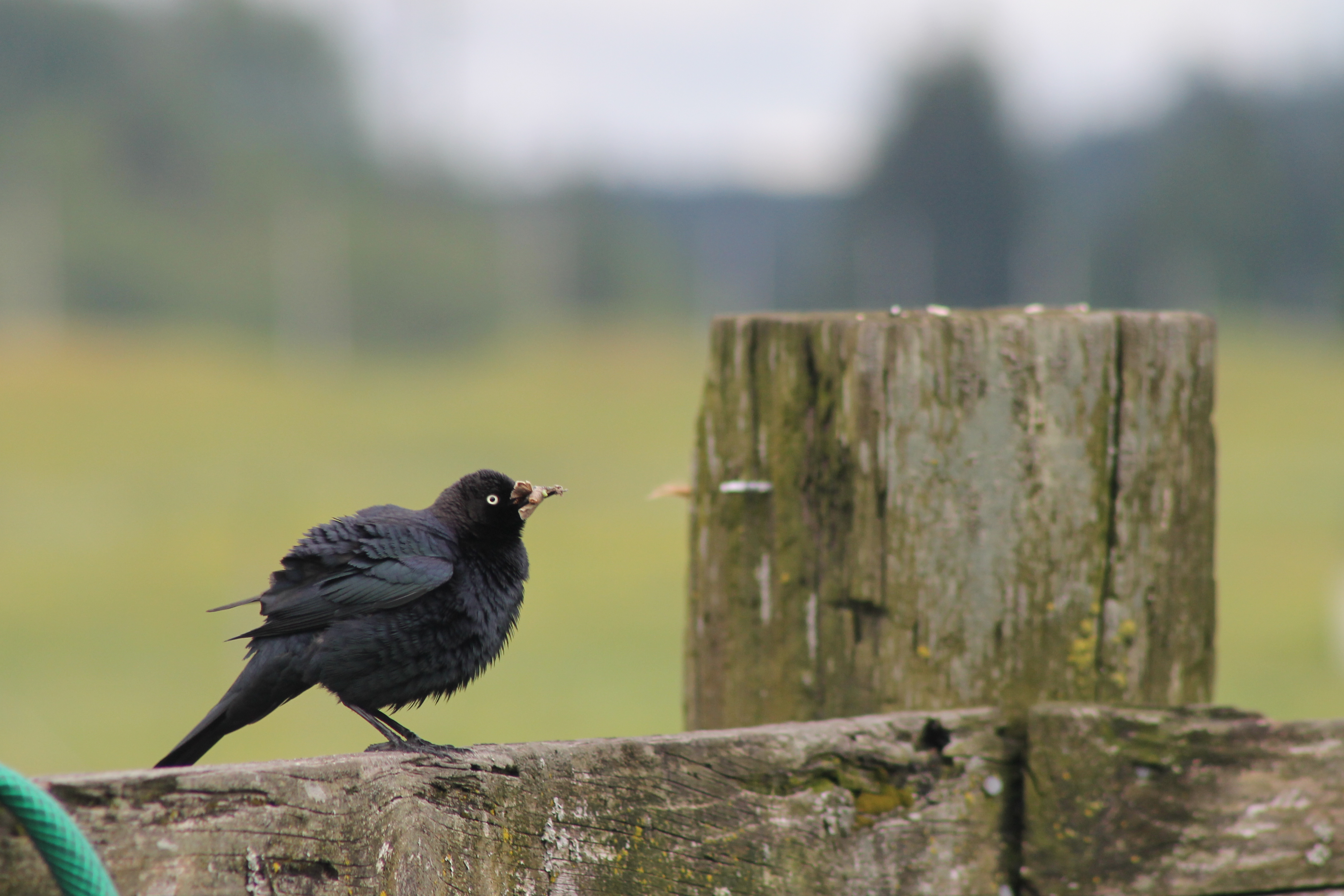
IMG_1103 Female Brewers Blackbird
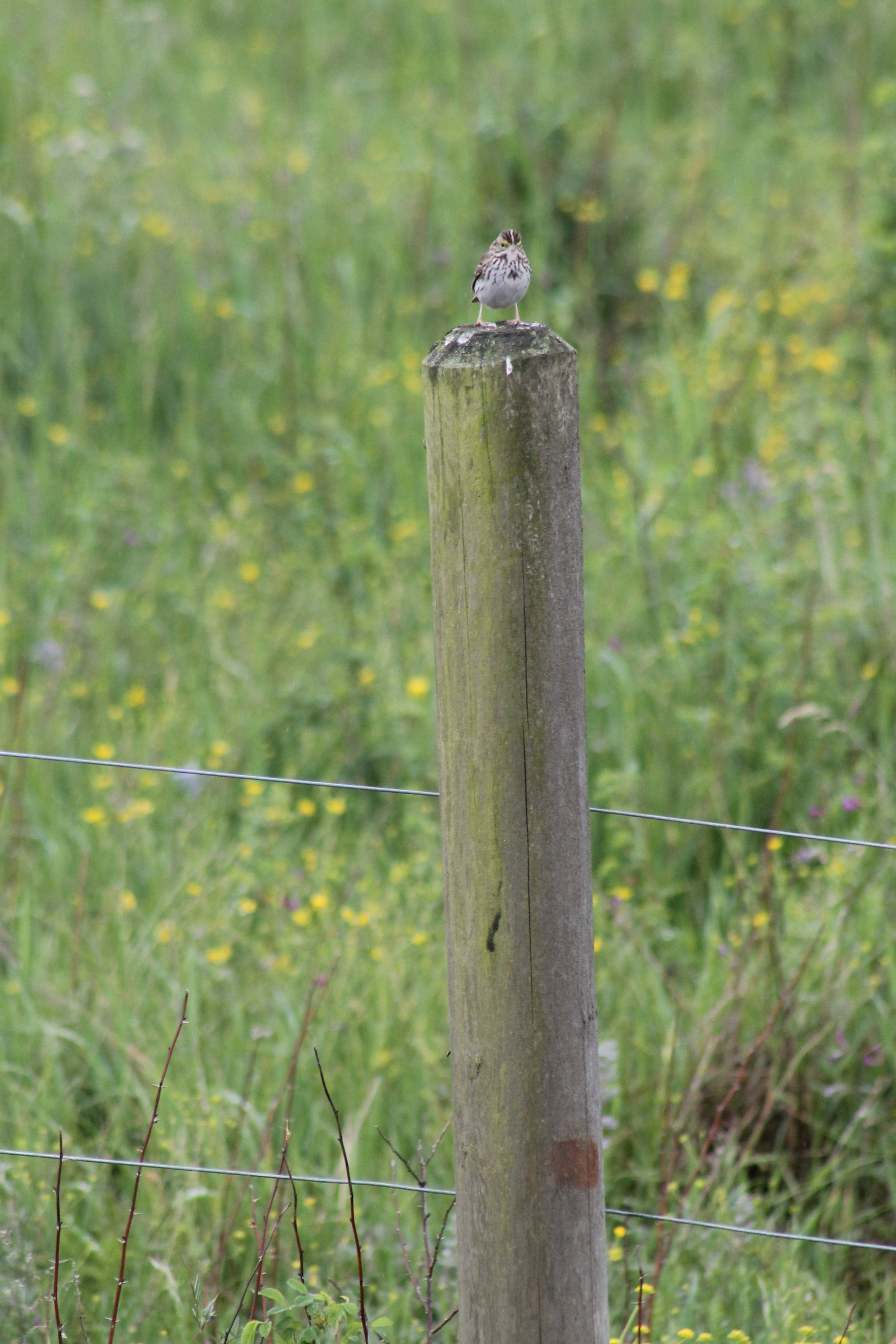
IMG_1050 Savannah Sparrow
Noisy Hayride
IMG_1096 Male Brewers Blackbird

IMG_1022 Violet-Green Swallow
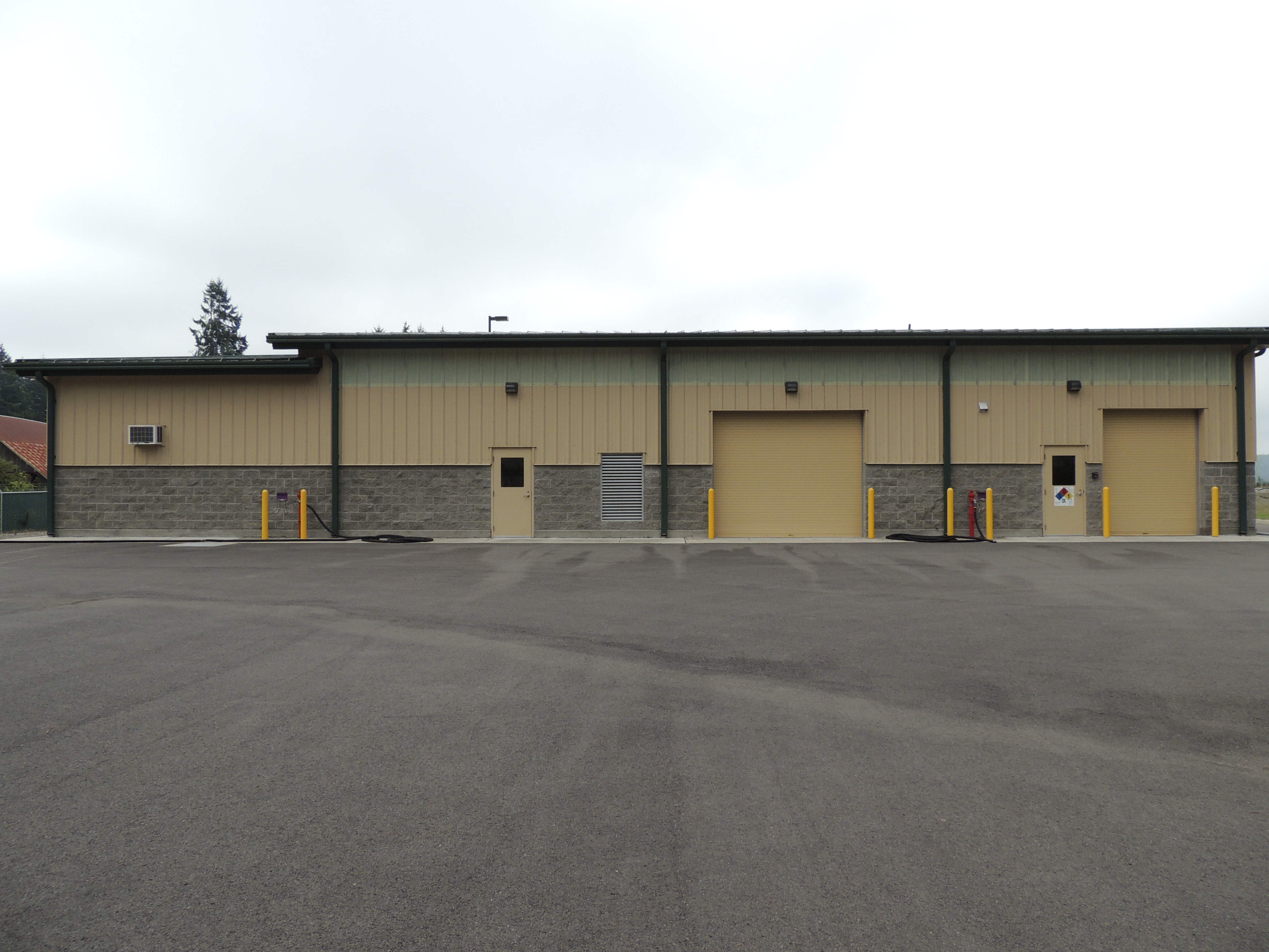
Tenino WWTP, north side view
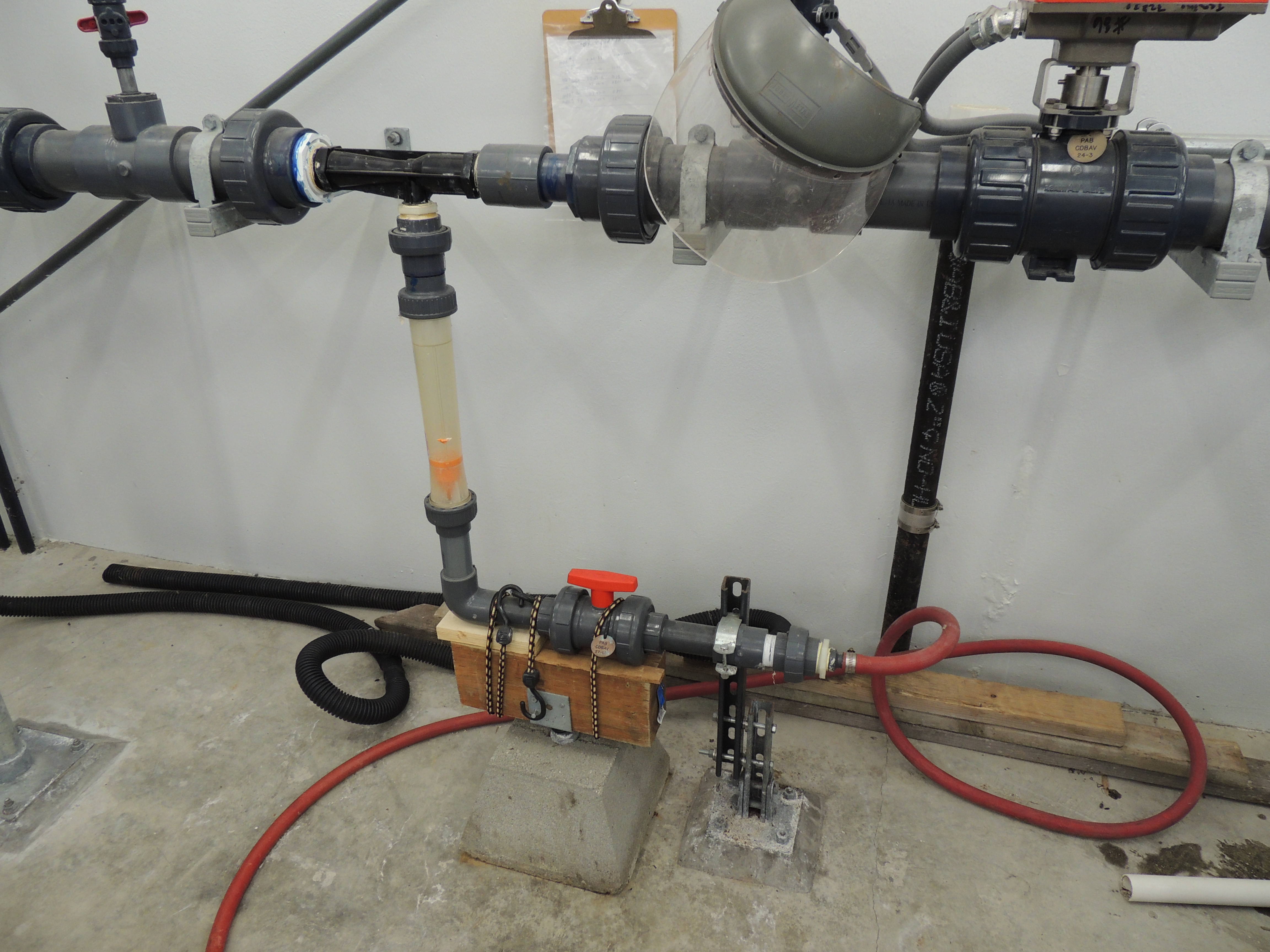
Tenino WWTP MBR CIP System

a2001-15-04
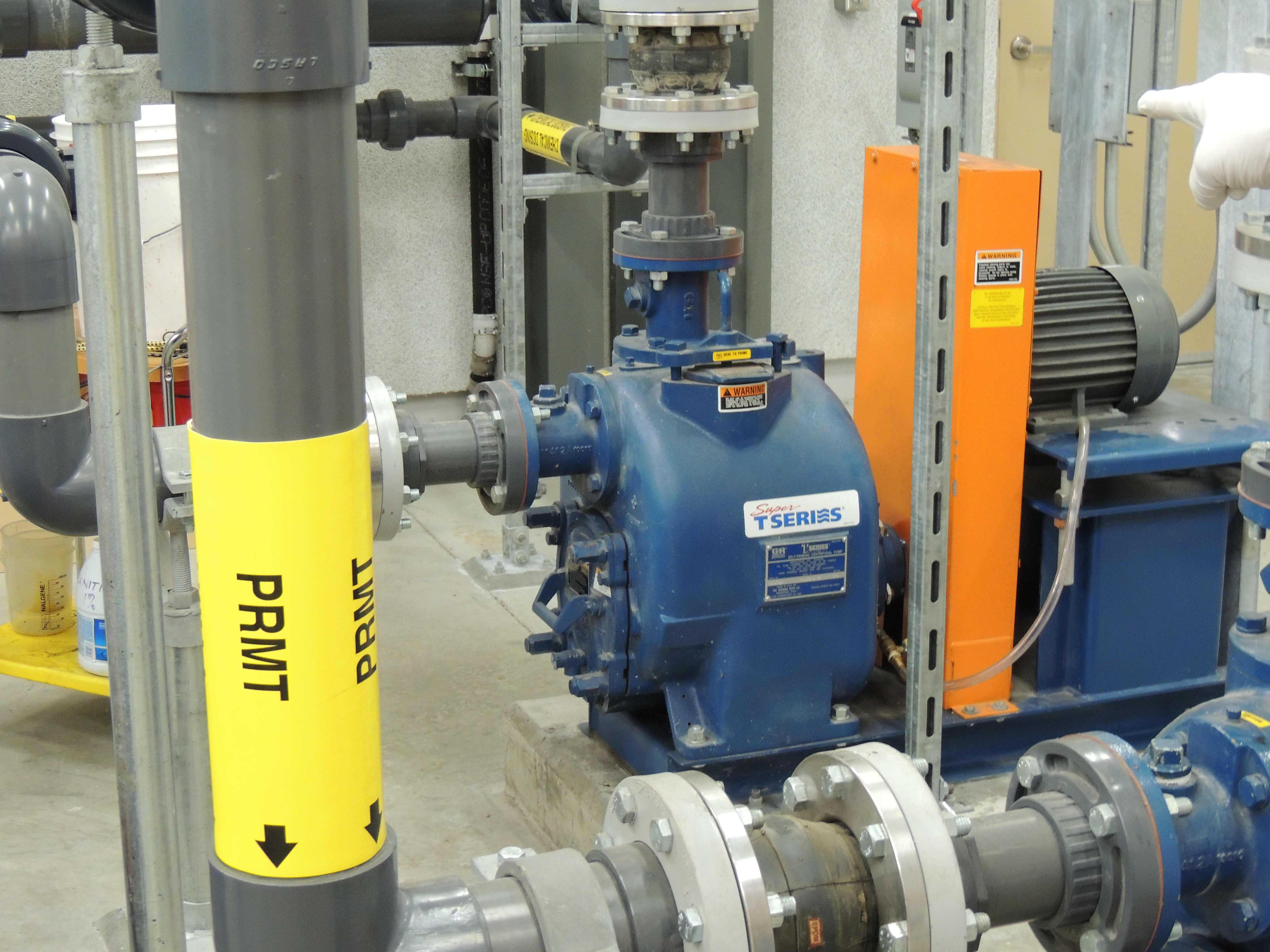
Tenino MBR Permeate Pump

Empire of Liberty: A History of the Early Republic, 1789-1815, by Gordon S. Wood

Western Wood-Pewee

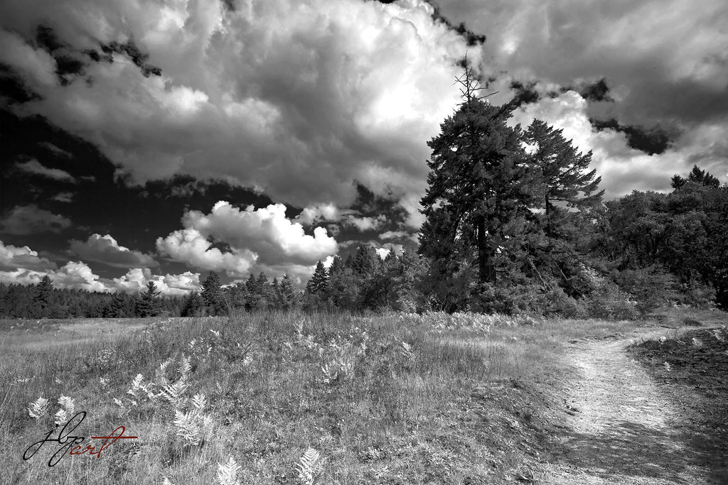
Snow and rain

Governor Gregoire
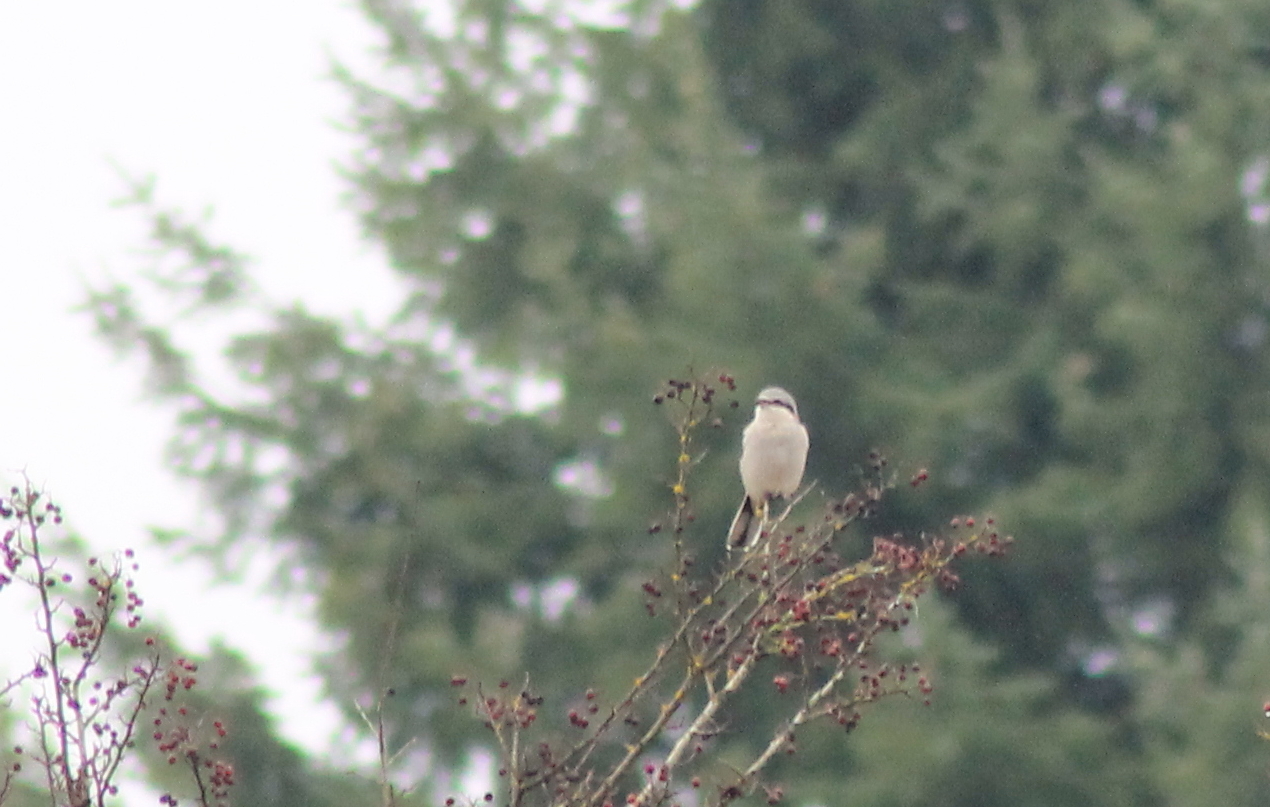
IMG_6349 Northern Shrike - Lanius excubitor
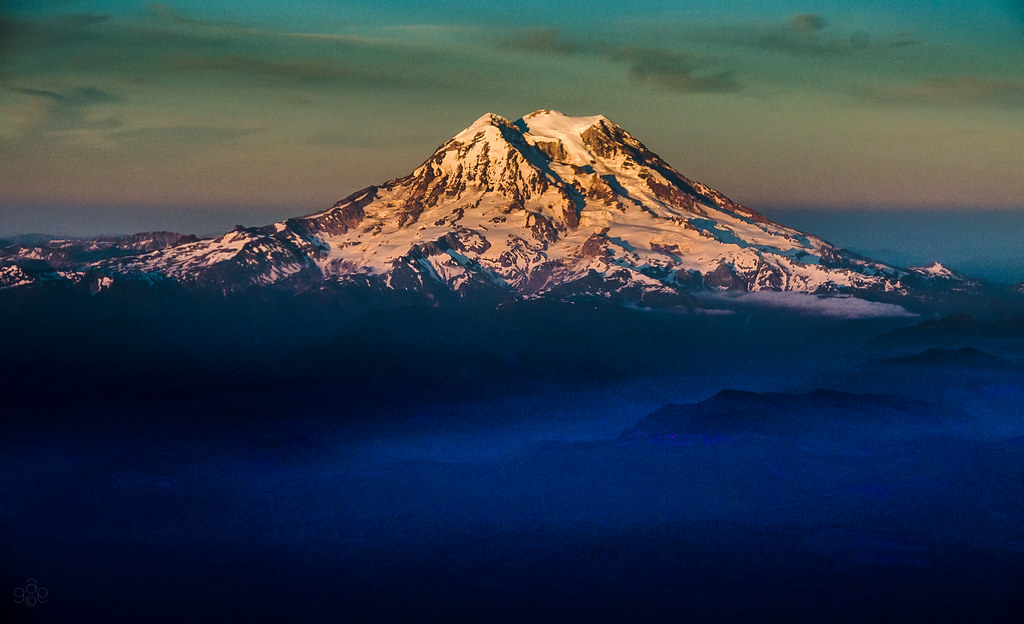
Mt. Rainier: on approach to Seattle

Poplar Tree Plantation
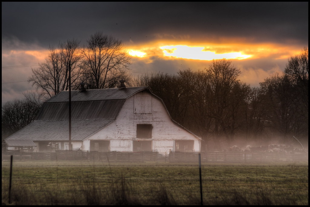
mist and barn

a poplar place to be
squid-tree

Tenino WWTP Solids Handling Lagoon
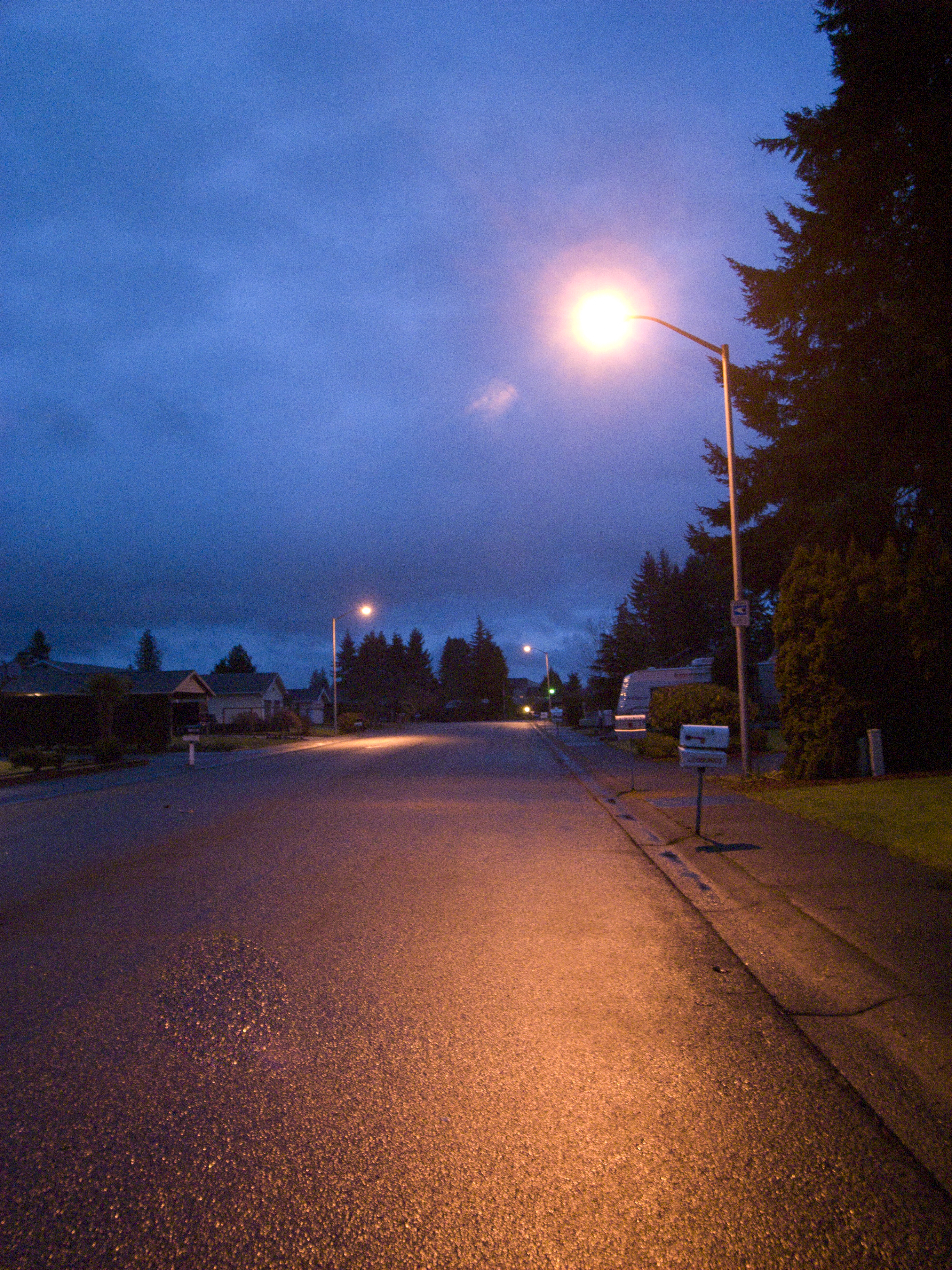
Street light of my daily life
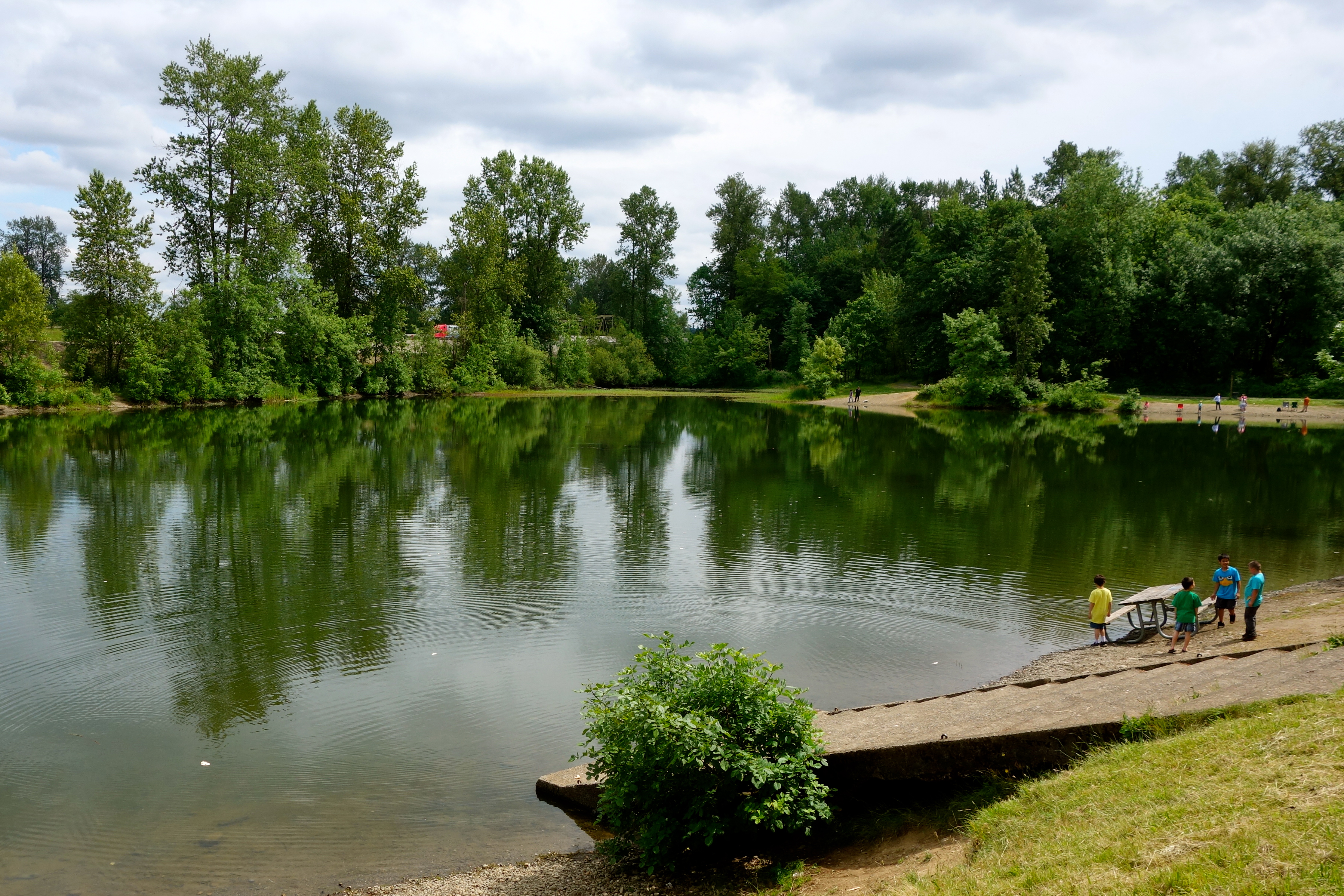
The "lake" at the park.
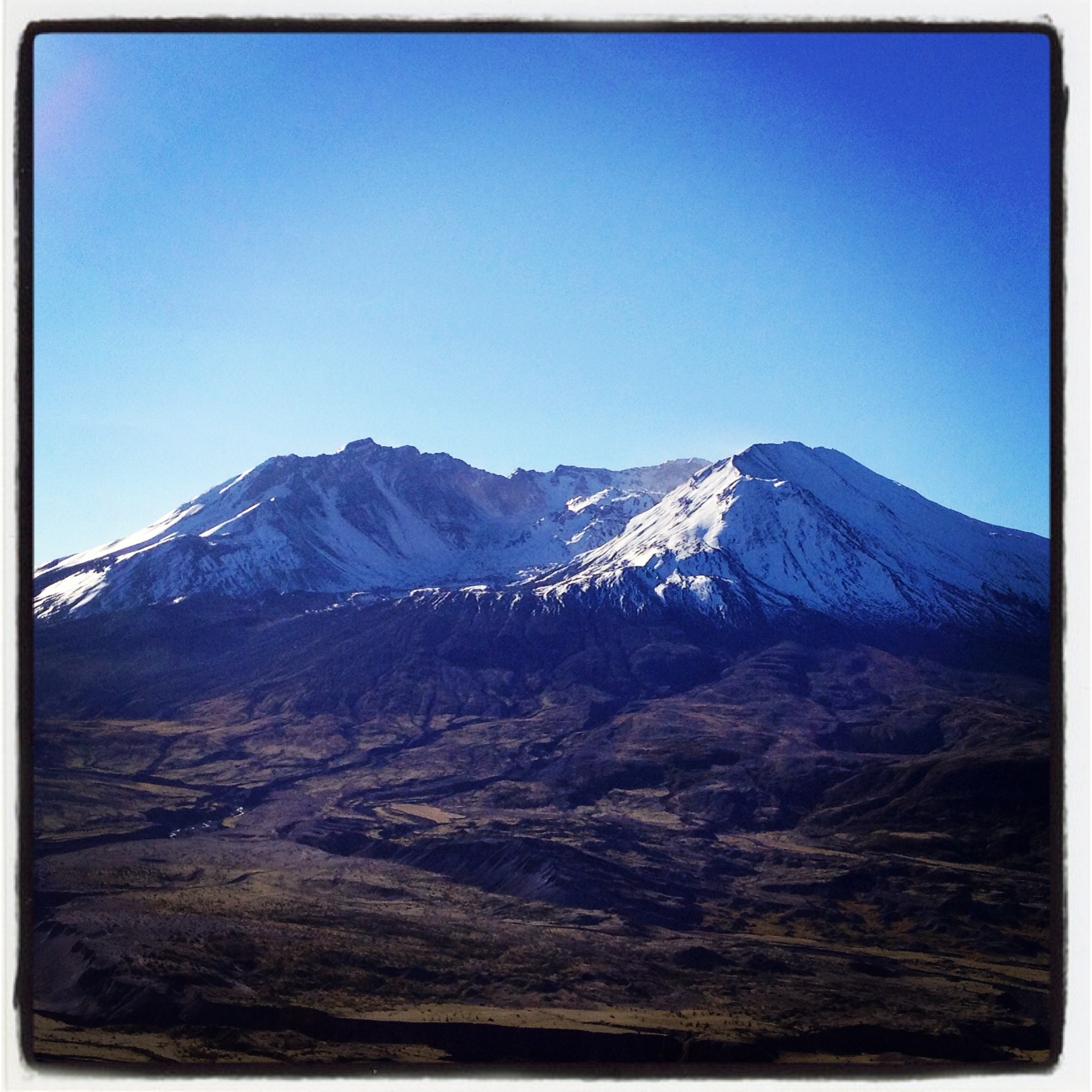
Coldwater Lake hike
Opened the back gate at work to see this.

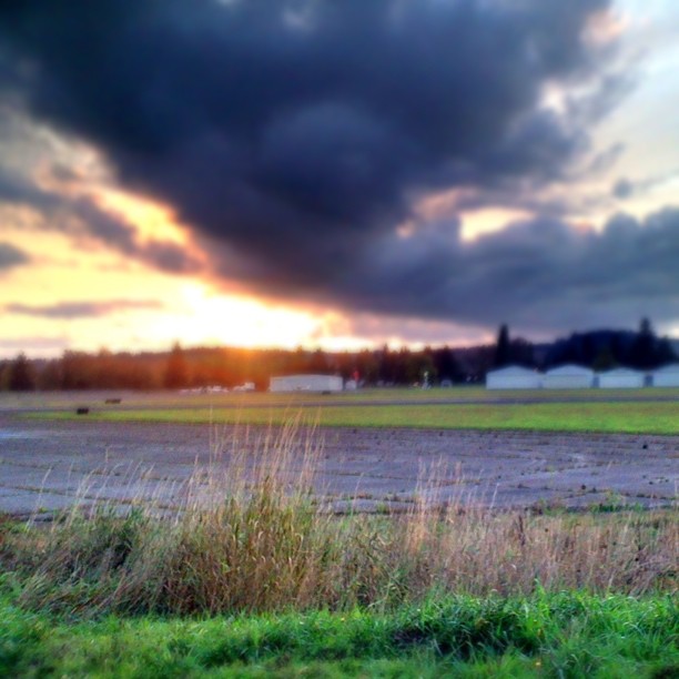
Lovely sunset yesterday.
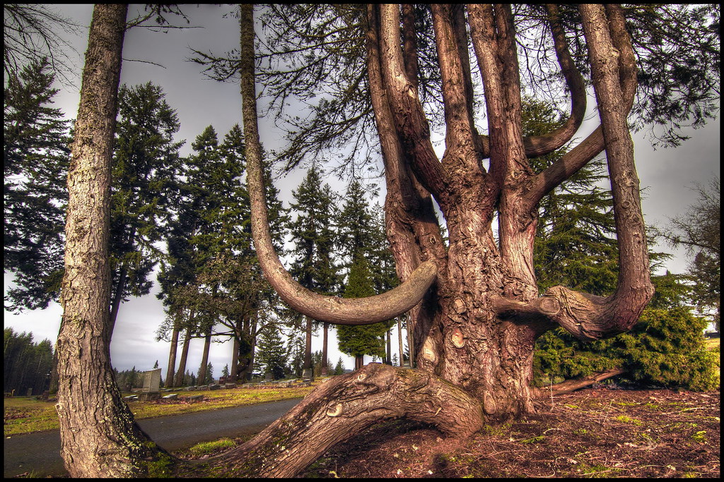
Grandfather tree

Poplar Tree Plantation, Lewis County, Washington, 2015

Our Dog Halle

Seminary Hill II
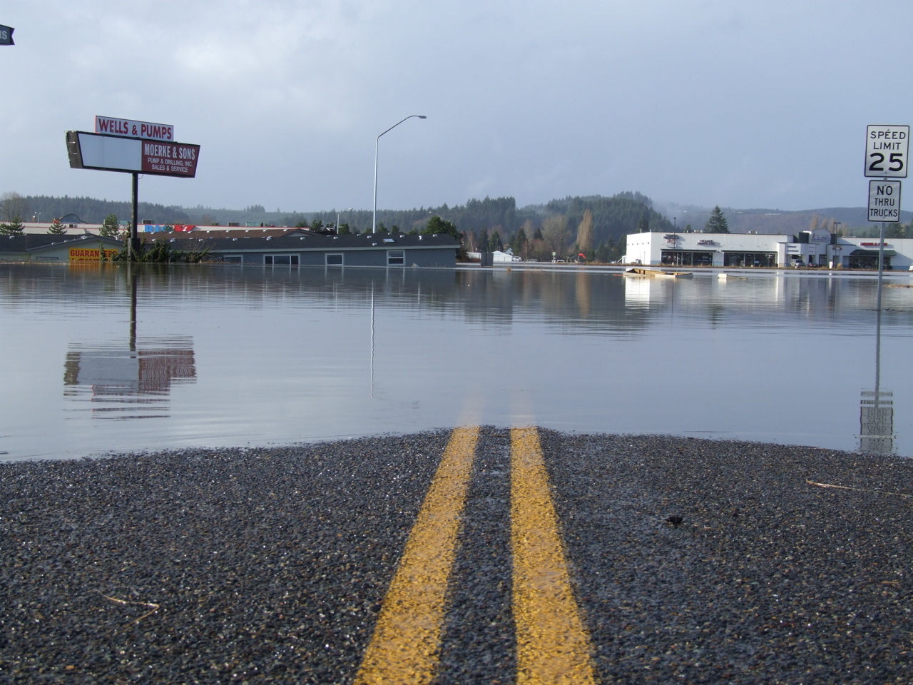
Road Closed
07-20-2011 Flowers in Front Yard (13) (Large)
310 Train riding
Quarry fountain
07-20-2011 Flowers in Front Yard (1) (Large)
Topographic Map of Downing Rd, Centralia, WA, USA
Find elevation by address:

Places near Downing Rd, Centralia, WA, USA:
183 Halliday Rd
151 Davis Hill Rd
1402 W Roanoke St
1301 N Washington Ave
1217 H St
605 Byrd St
1818 Ham Hill Rd
North Baker Street
North Green Street
106 N Green St
Centralia
105 N Baker St
112 N Oak St
104 S Green St
510 E Locust St
512 W Cherry St
2455 Borst Ave
400 W Summa St
2280 Seminary Hill Rd
1437 Lois Ln
Recent Searches:
- Elevation of Corso Fratelli Cairoli, 35, Macerata MC, Italy
- Elevation of Tallevast Rd, Sarasota, FL, USA
- Elevation of 4th St E, Sonoma, CA, USA
- Elevation of Black Hollow Rd, Pennsdale, PA, USA
- Elevation of Oakland Ave, Williamsport, PA, USA
- Elevation of Pedrógão Grande, Portugal
- Elevation of Klee Dr, Martinsburg, WV, USA
- Elevation of Via Roma, Pieranica CR, Italy
- Elevation of Tavkvetili Mountain, Georgia
- Elevation of Hartfords Bluff Cir, Mt Pleasant, SC, USA