Elevation of Borst Ave, Centralia, WA, USA
Location: United States > Washington > Lewis County > Centralia >
Longitude: -122.98326
Latitude: 46.7273691
Elevation: 54m / 177feet
Barometric Pressure: 101KPa
Elevation Map:
Satellite Map:
Related Photos:

a2001-15-04

Aerial view of I-5 in Chehalis

Aerial view of I-5 in Chehalis

Snow and rain

Governor Gregoire

IMG_1103 Female Brewers Blackbird

a2003-14-31
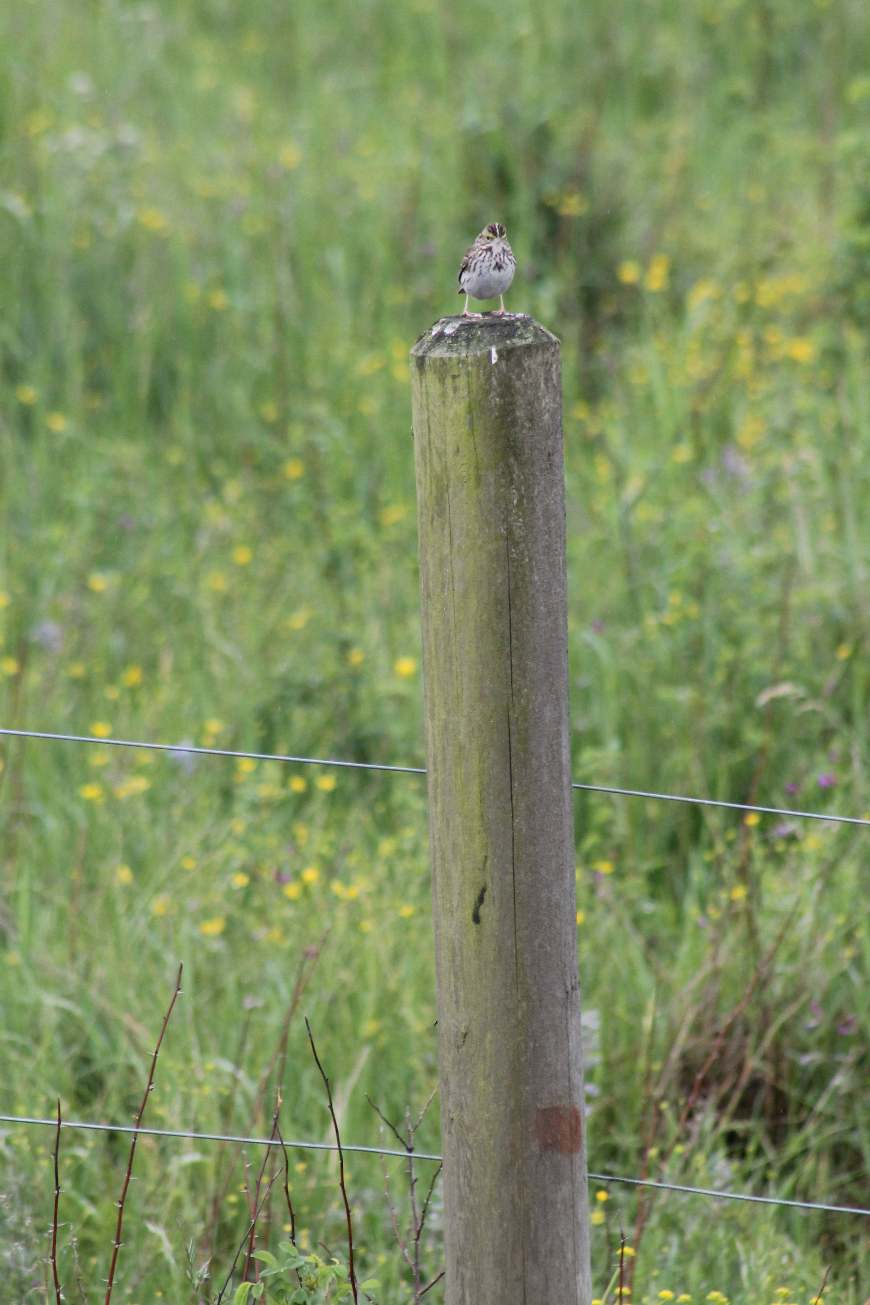
IMG_1050 Savannah Sparrow

IMG_2258 Red-tailed Hawk carrying Duck prey
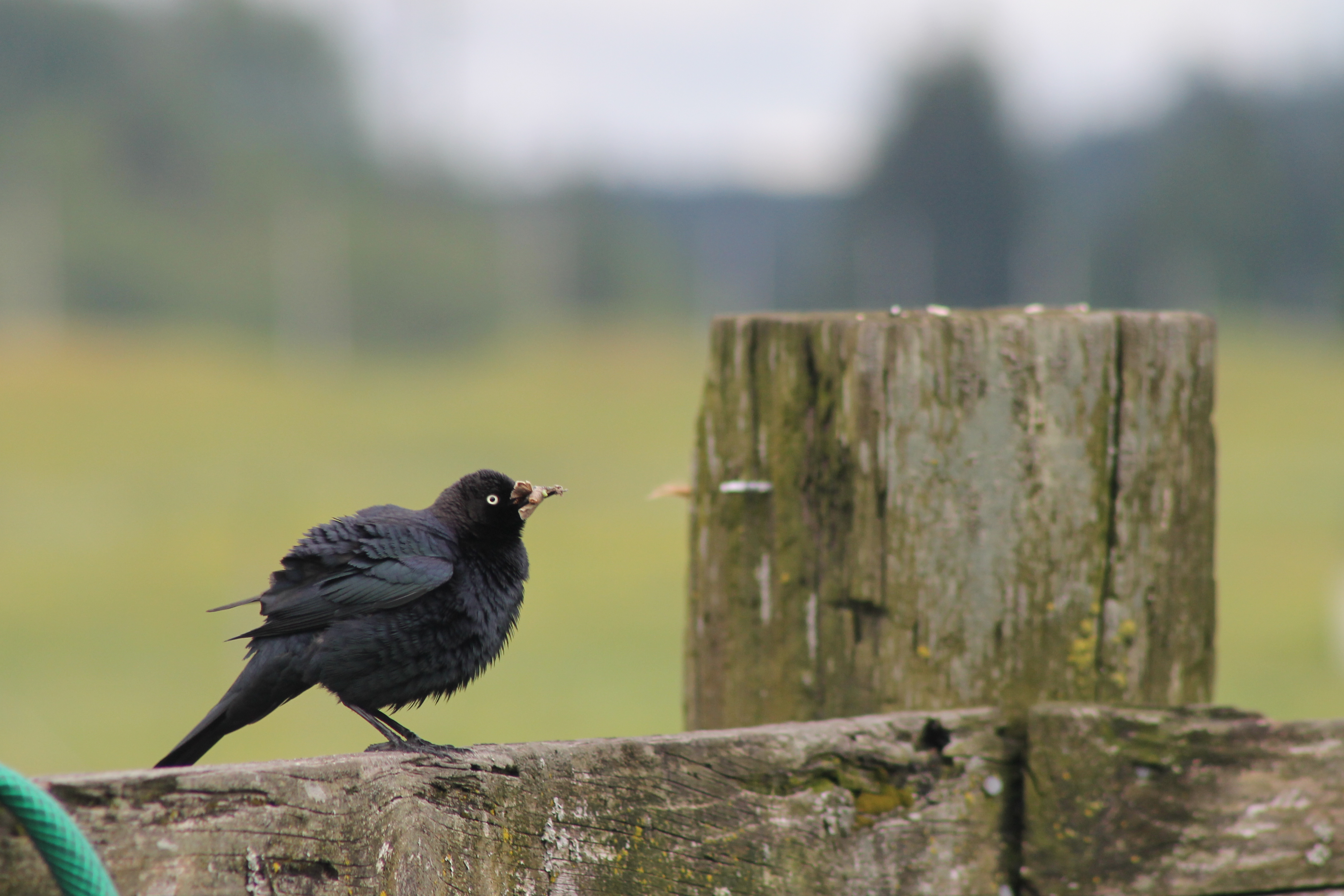
IMG_1096 Male Brewers Blackbird

The Mummy Lives!
fan view
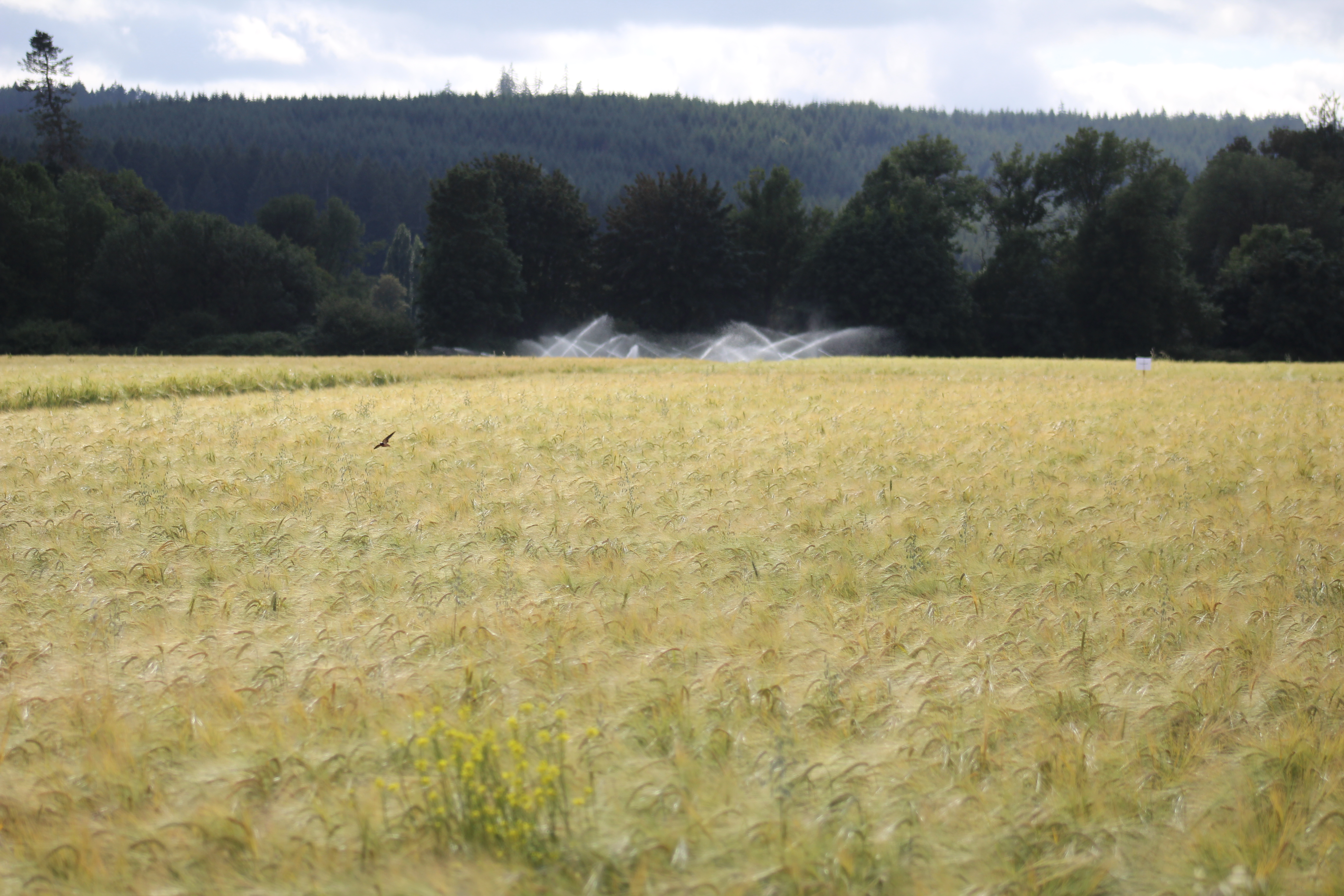
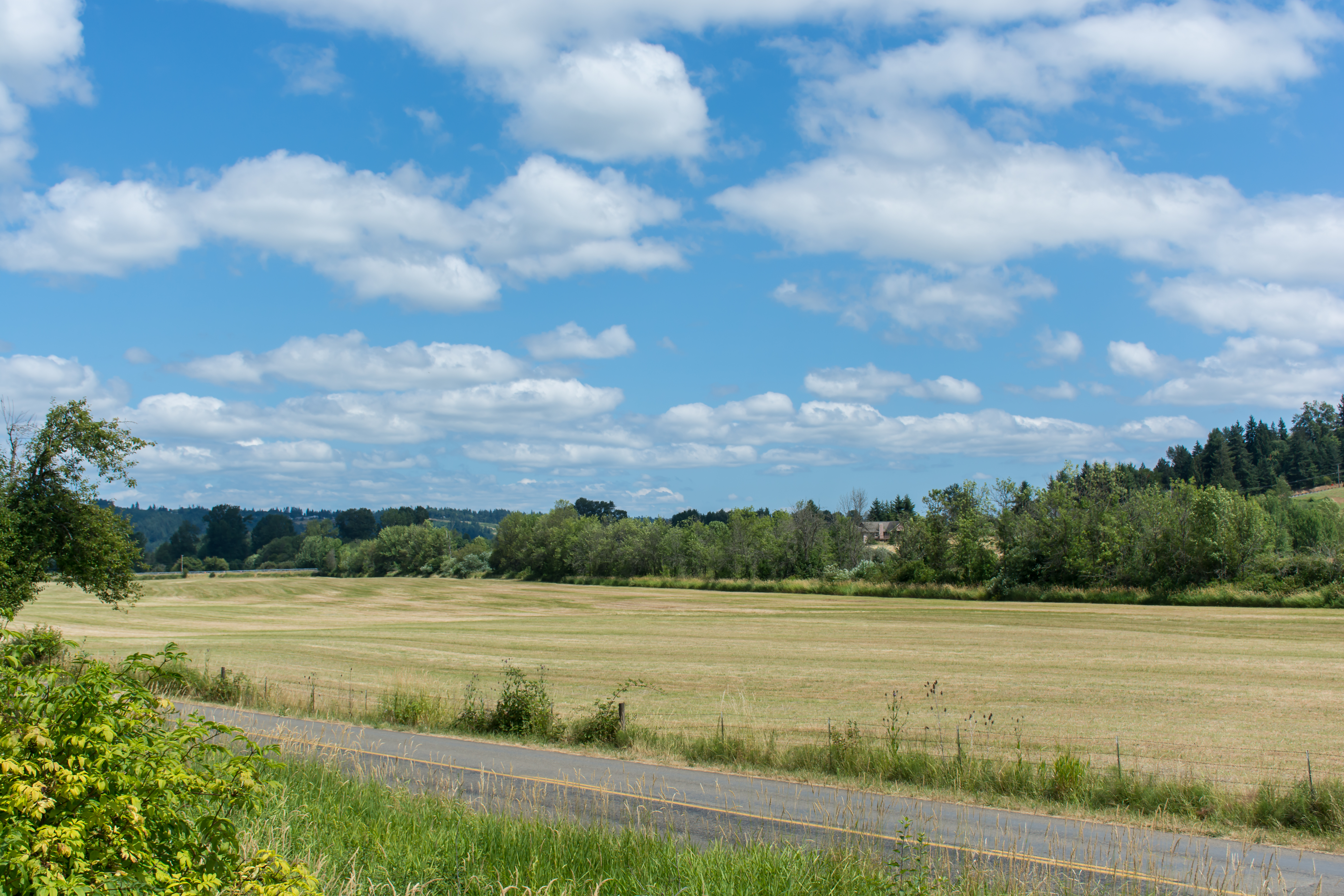
IMG_9011 Reisinger Farms barley field

DSCN1622.JPG
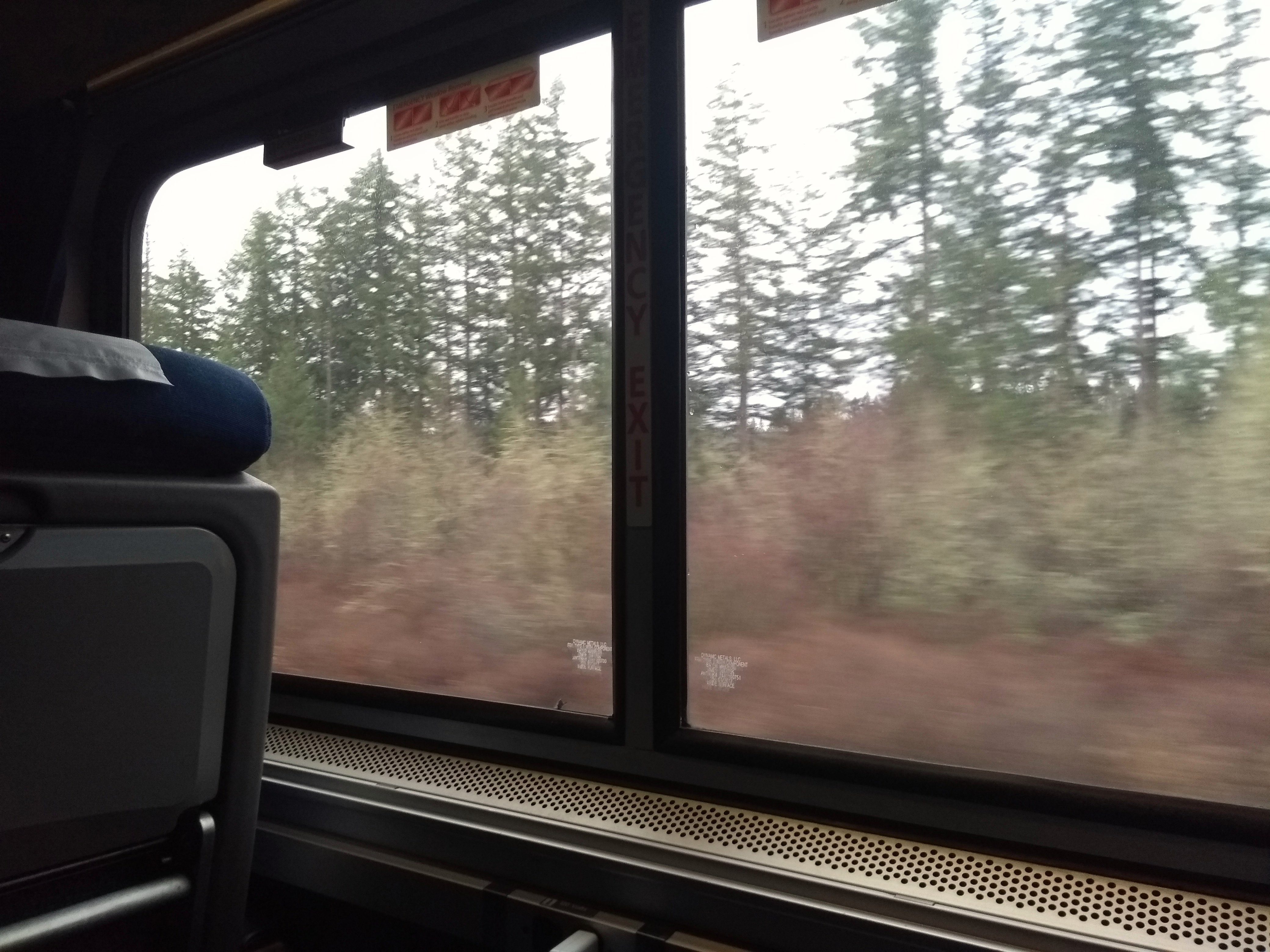
View from Coast Starlight
DSCN1624.JPG
Coast Starlight view
08042018-34
View from Coast Starlight
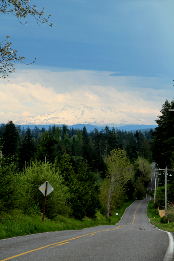
Grey Highway

Empire of Liberty: A History of the Early Republic, 1789-1815, by Gordon S. Wood
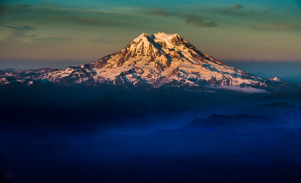
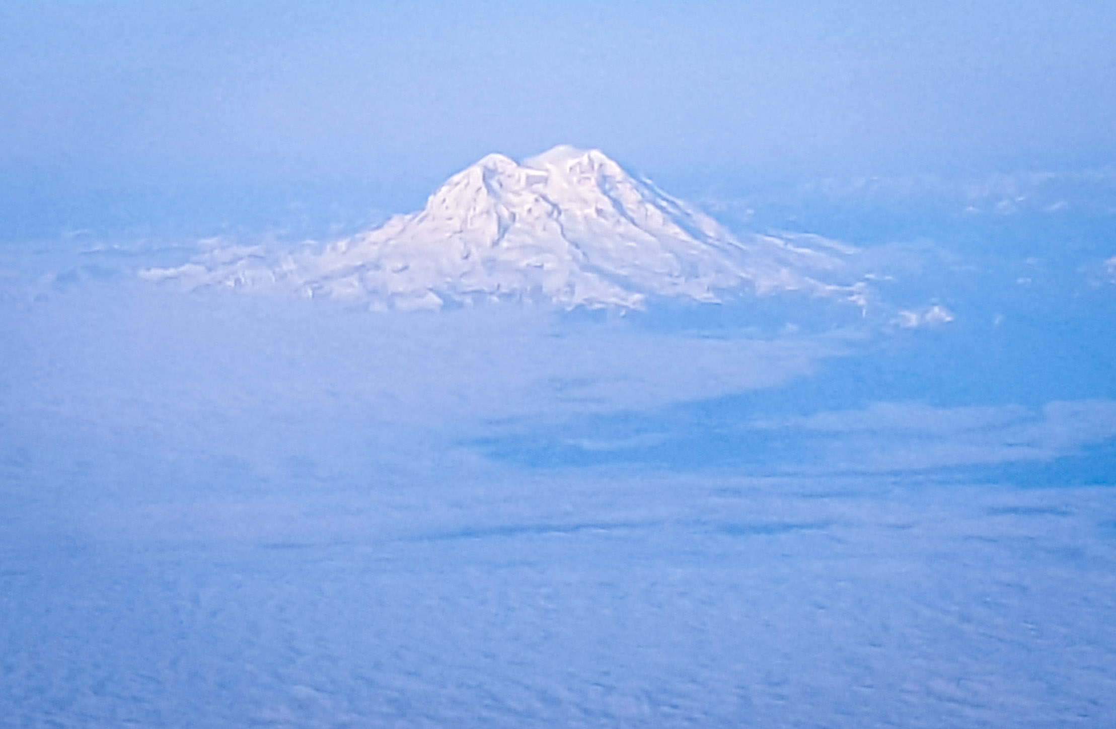
Mt. Rainier: on approach to Seattle

Poplar Tree Plantation
Chehalis 17

Chehalis-Centralia Railroad 17
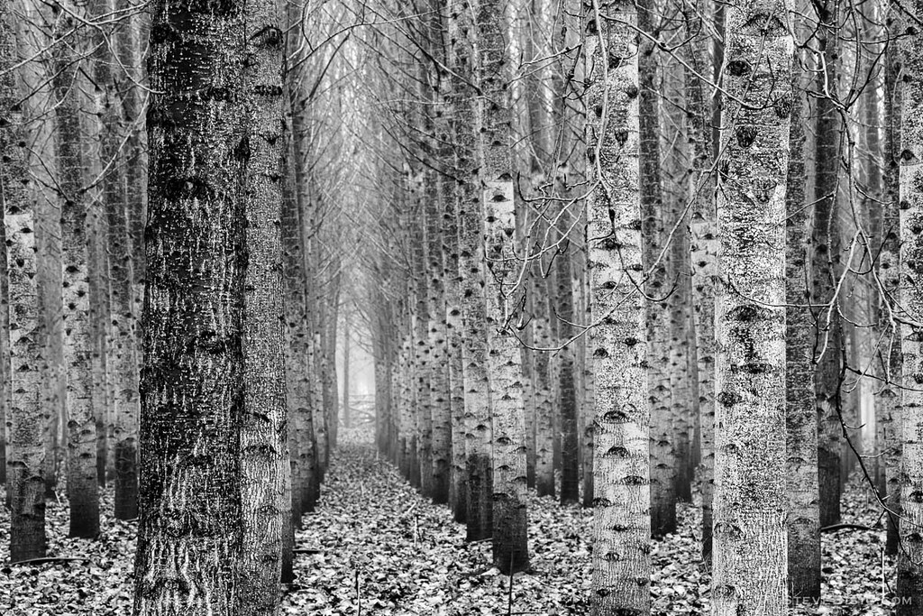
Poplar Tree Plantation, Lewis County, Washington, 2015
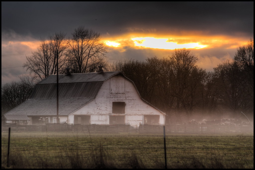
mist and barn
07.06 - Nacho Trip 07
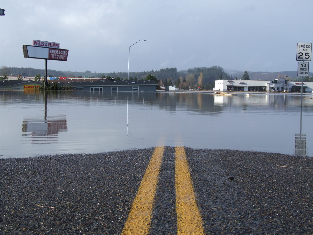
Road Closed

a poplar place to be
Sydney, New South Wales. Australia.
#DeepCreekRoad

Poplar Tree Plantation, Lewis County, Washington, 2015

Spring time's here.

Our Dog Halle
#PartlyCloudy
squid-tree

Barn and Silo, Adna, Washington, 2015
07-20-2011 Flowers in Front Yard (1) (Large)

#forrest

Horseshoe Bend
07-19-2011 Hen Blossom (1)
Topographic Map of Borst Ave, Centralia, WA, USA
Find elevation by address:

Places near Borst Ave, Centralia, WA, USA:
3030 Borst Ave
3110 Borst Ave
2064 Cooks Hill Rd
1304 Greenwood Ln
1709 Shamrock Dr
1402 W Roanoke St
1907 Shamrock Dr
1301 N Washington Ave
1217 H St
151 Davis Hill Rd
112 N Oak St
512 W Cherry St
400 W Summa St
1020 Swanson Dr
3324 Cooks Hill Rd
Centralia
264 River Heights Rd
510 E Locust St
1437 Lois Ln
605 Byrd St
Recent Searches:
- Elevation of Corso Fratelli Cairoli, 35, Macerata MC, Italy
- Elevation of Tallevast Rd, Sarasota, FL, USA
- Elevation of 4th St E, Sonoma, CA, USA
- Elevation of Black Hollow Rd, Pennsdale, PA, USA
- Elevation of Oakland Ave, Williamsport, PA, USA
- Elevation of Pedrógão Grande, Portugal
- Elevation of Klee Dr, Martinsburg, WV, USA
- Elevation of Via Roma, Pieranica CR, Italy
- Elevation of Tavkvetili Mountain, Georgia
- Elevation of Hartfords Bluff Cir, Mt Pleasant, SC, USA