Elevation of Mountain Grove Township, MO, USA
Location: United States > Missouri > Wright County >
Longitude: -92.361620
Latitude: 37.123869
Elevation: 440m / 1444feet
Barometric Pressure: 96KPa
Elevation Map:
Satellite Map:
Related Photos:
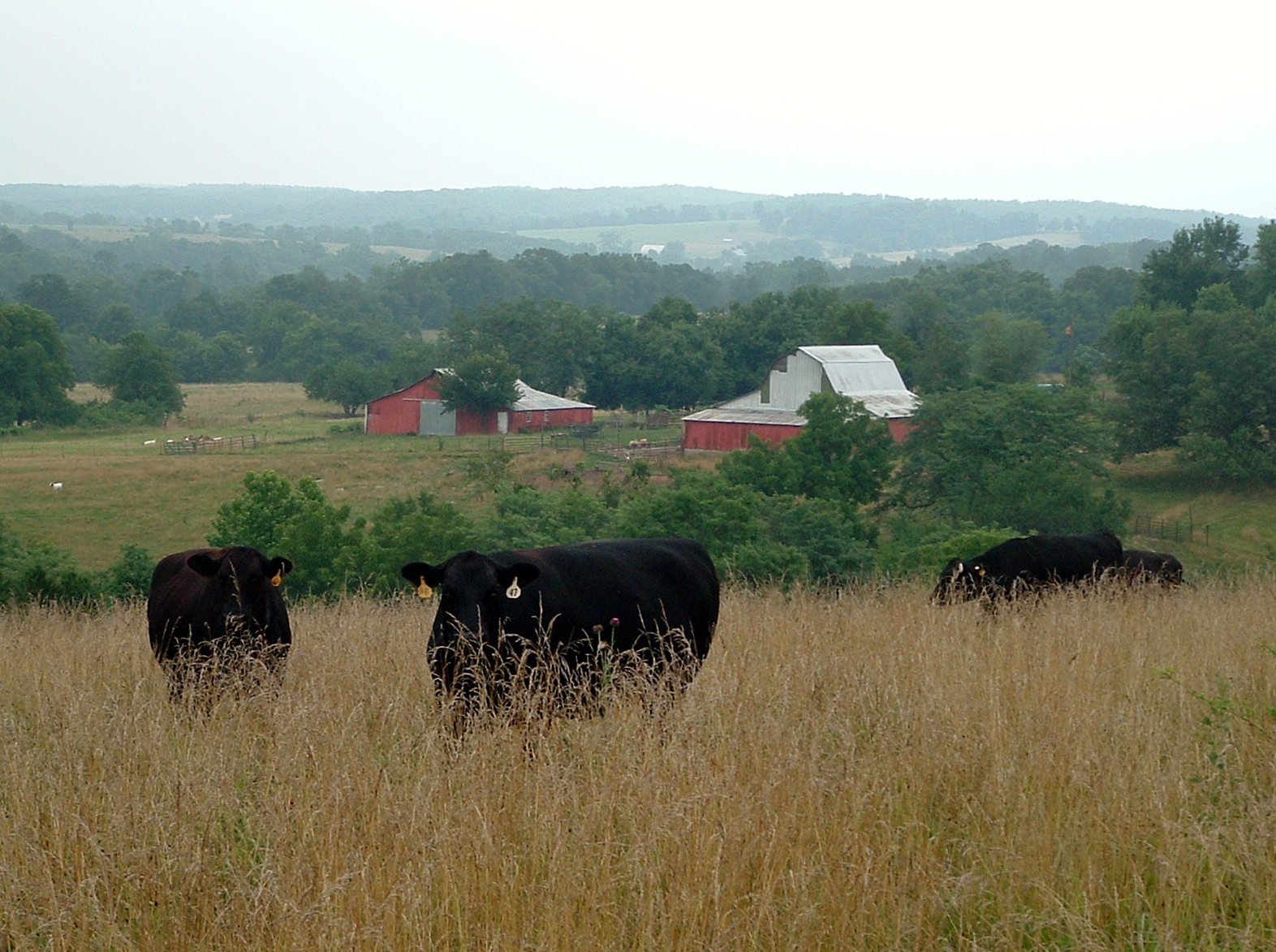
Mojeji Ranch 2011-11

late evening

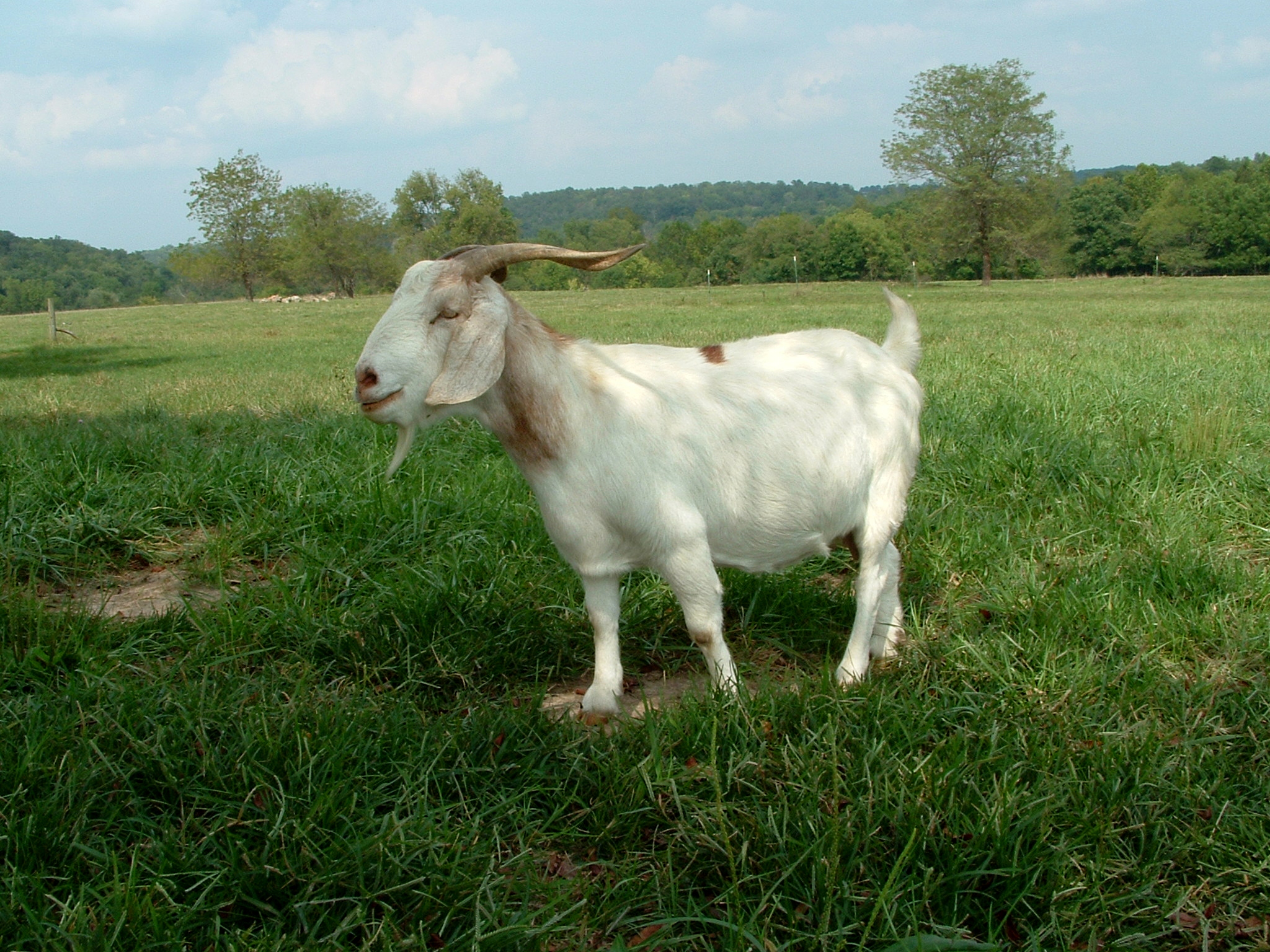
Mojeji Ranch 2011-16
Mojeji Ranch 2011-13

Tri-County MarooNation Picnic - June 2013

Mojeji Ranch 2011-9

22,000 horsepower
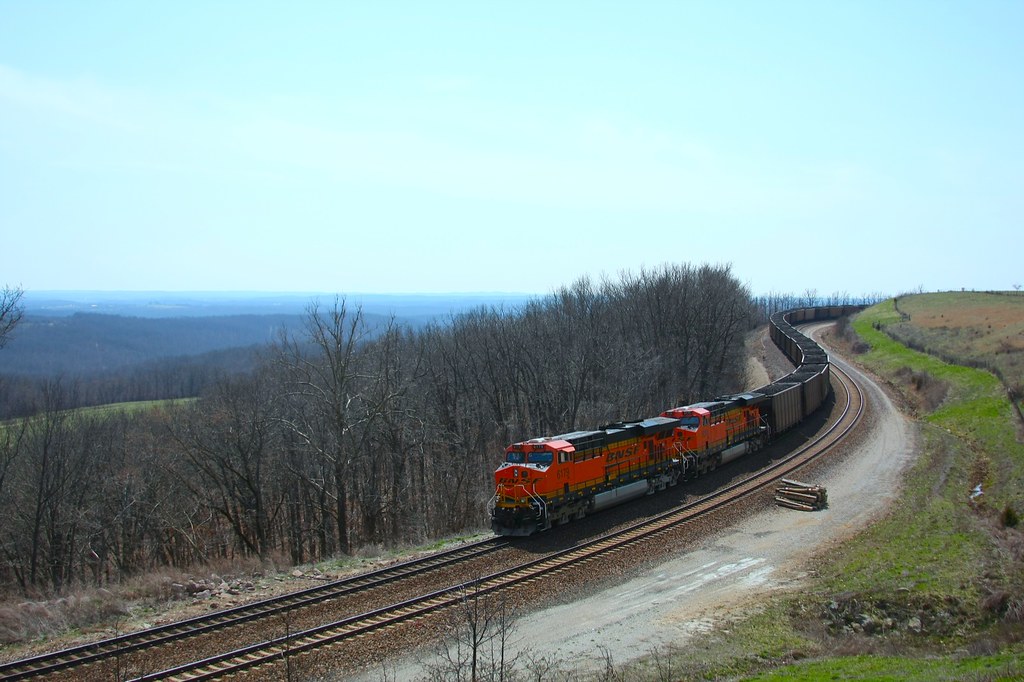
coal train hold the main
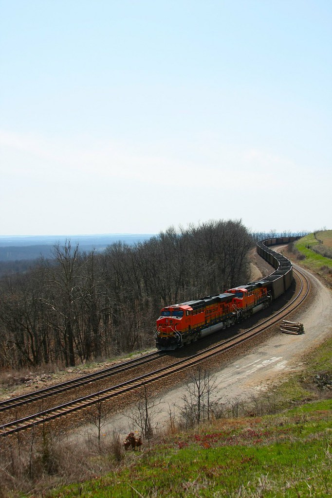
locke, missouri
Topographic Map of Mountain Grove Township, MO, USA
Find elevation by address:

Places in Mountain Grove Township, MO, USA:
Places near Mountain Grove Township, MO, USA:
Norwood
Hill St, Norwood, MO, USA
2401 Coke Rd
9310 Hwy Zz
Mountain Grove Chamber
Mountain Grove
N Main St, Mountain Grove, MO, USA
5097 Highway W
Clark Township
2025 Hidden Valley Dr
Bethel Chapel Road
Bethel Chapel Road
Vanzant
MO-76, Norwood, MO, USA
Van Buren Township
7226 Grimes Mill Dr
Hartville
Drury
4578 Indian Grove Rd
County Road 235
Recent Searches:
- Elevation of Corso Fratelli Cairoli, 35, Macerata MC, Italy
- Elevation of Tallevast Rd, Sarasota, FL, USA
- Elevation of 4th St E, Sonoma, CA, USA
- Elevation of Black Hollow Rd, Pennsdale, PA, USA
- Elevation of Oakland Ave, Williamsport, PA, USA
- Elevation of Pedrógão Grande, Portugal
- Elevation of Klee Dr, Martinsburg, WV, USA
- Elevation of Via Roma, Pieranica CR, Italy
- Elevation of Tavkvetili Mountain, Georgia
- Elevation of Hartfords Bluff Cir, Mt Pleasant, SC, USA