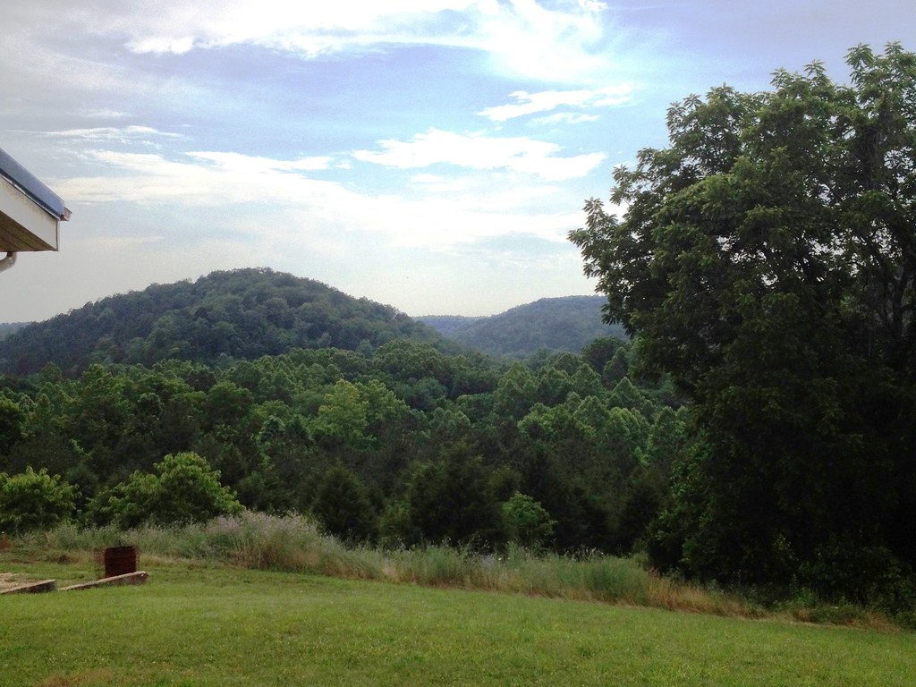
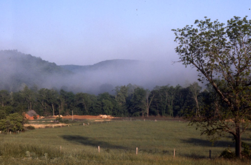
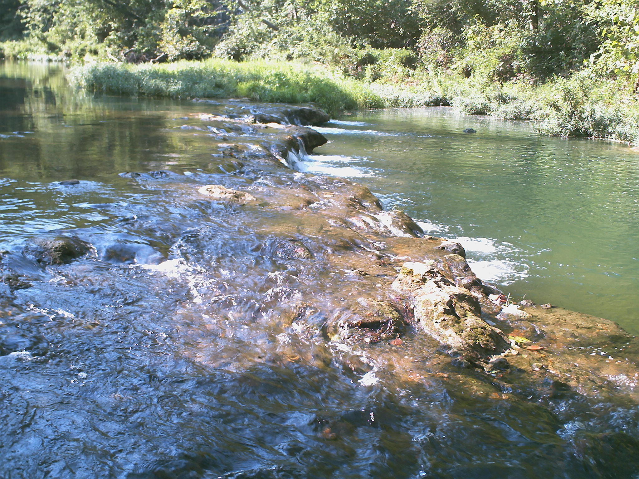
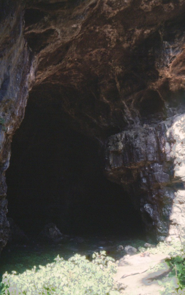
Elevation of County Road, Co Rd, Drury, MO, USA
Location: United States > Missouri > Douglas County > Champion Township >
Longitude: -92.3757755
Latitude: 36.9234765
Elevation: 293m / 961feet
Barometric Pressure: 0KPa
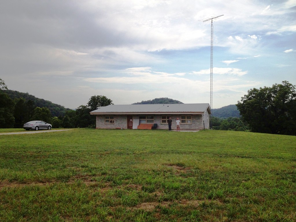
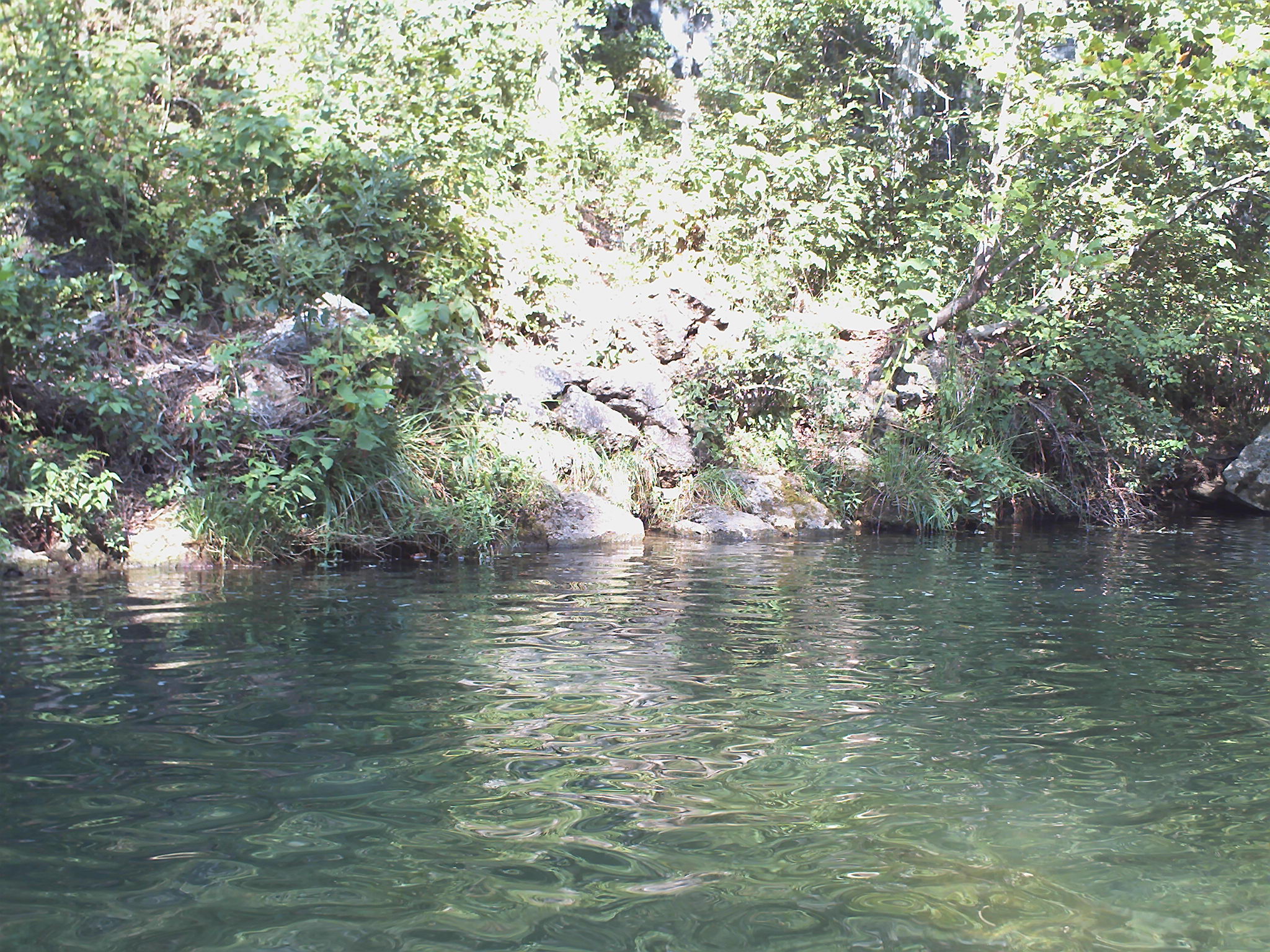
Related Photos:

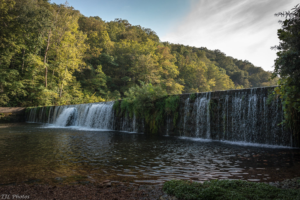
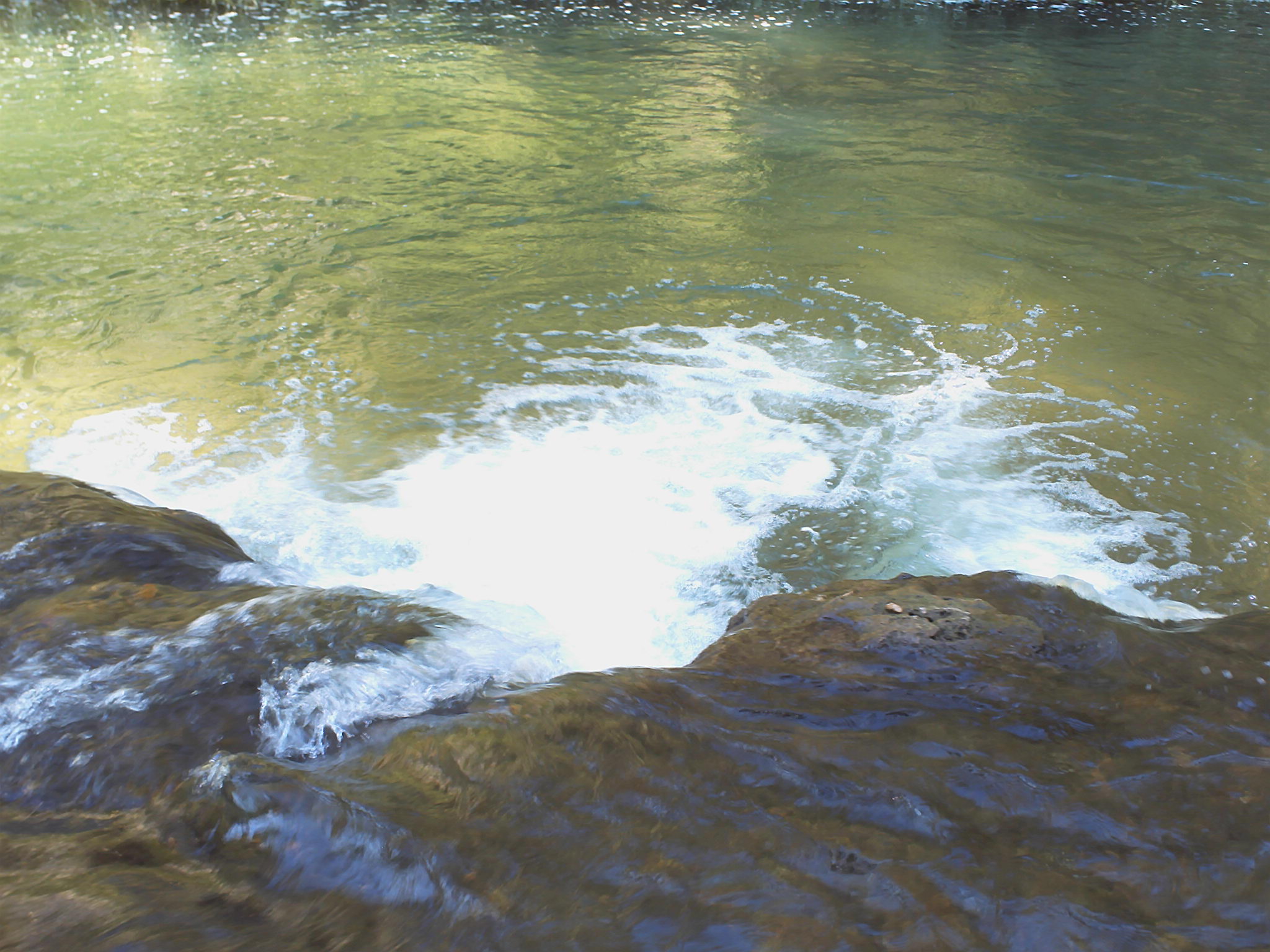
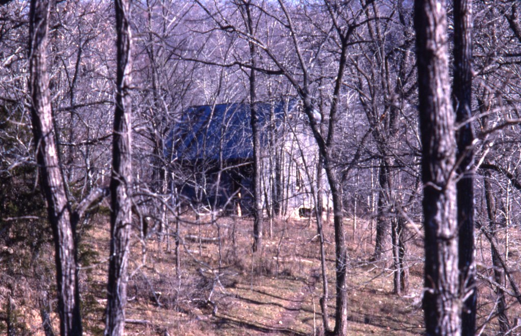
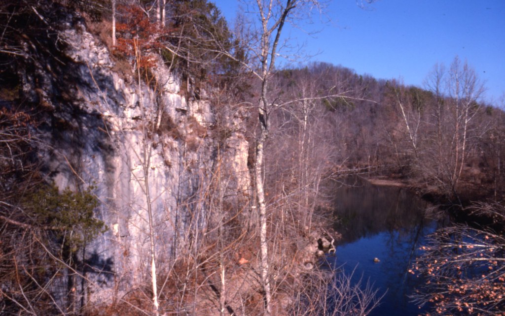
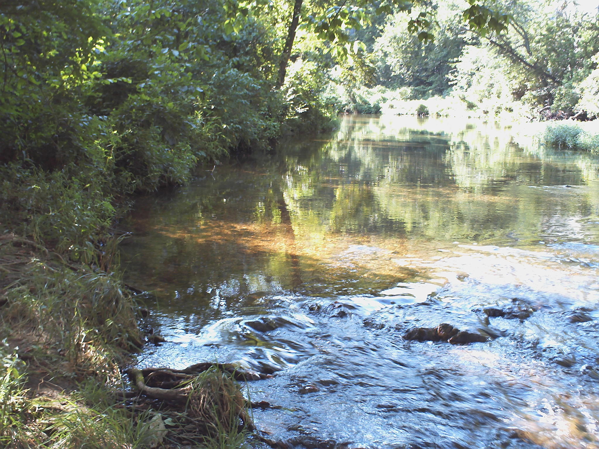
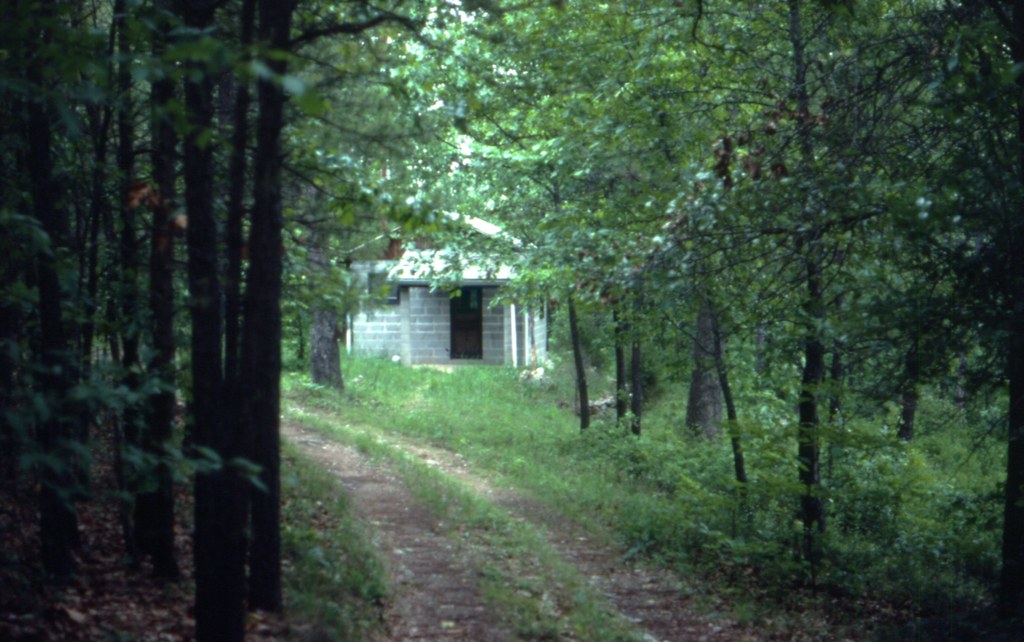
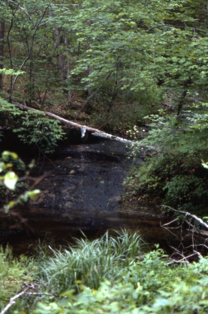
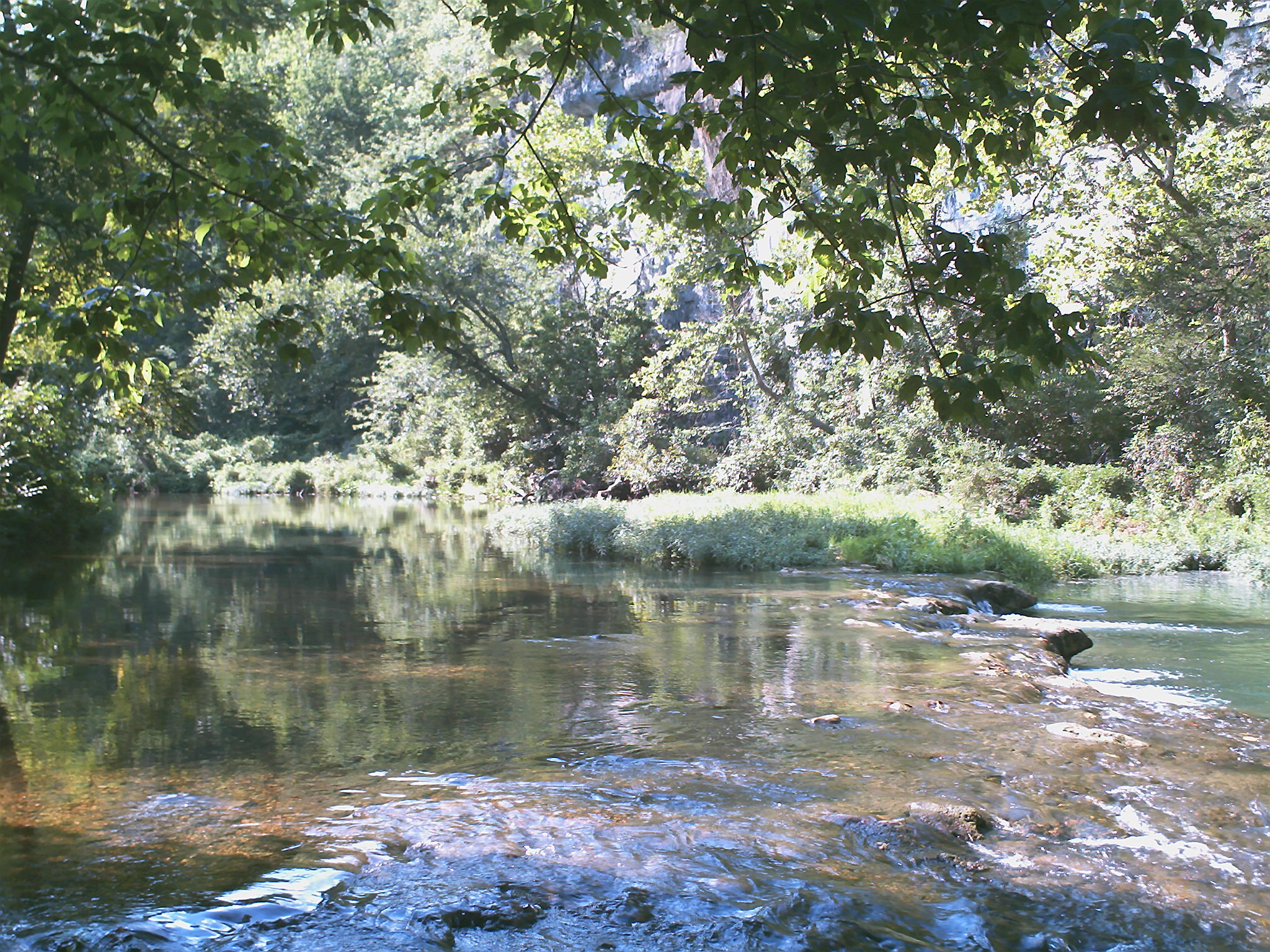
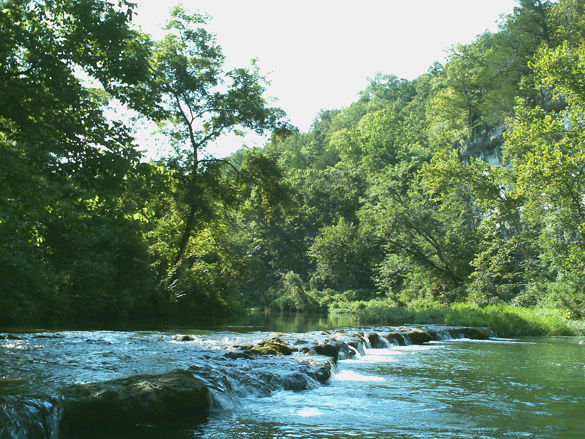
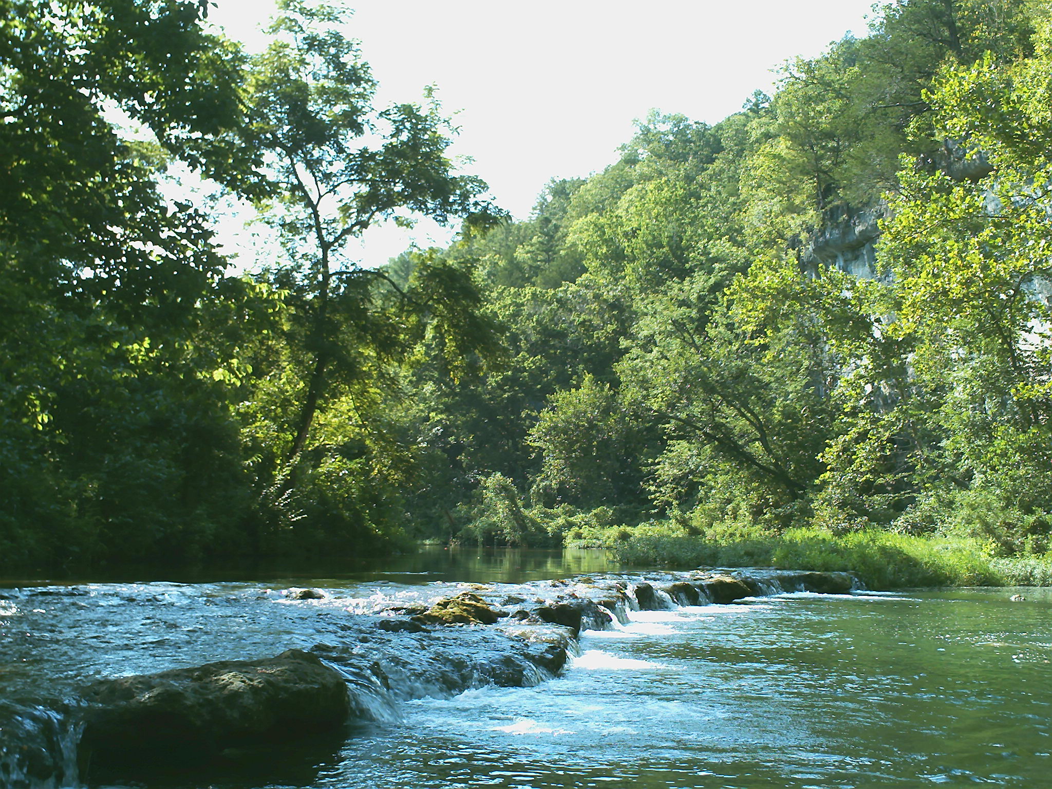
Rockbridge Grist Mill

ffhhPICT0001 (107)

1981 05 may ii _0001
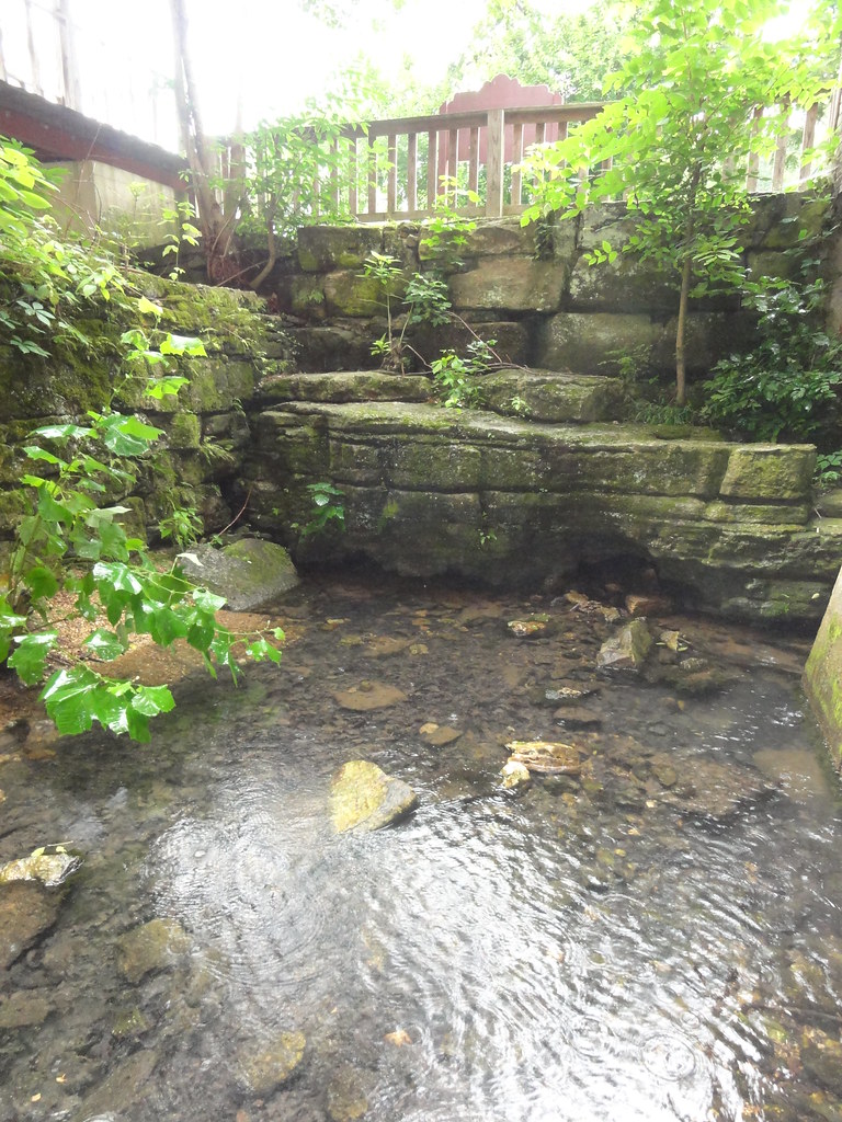
Rockbridge Mill, Ozark County
ffhhPICT0001 (103)
1981 01 jan 23
1981 01 jan 20
ffhhPICT0001 (54)
1981 05 may ii _0009 wp1
1981 05 may i _0012
ffhhPICT0001 (52)

1981 05 may 01
b19 IMG_2509 ac
1981 05 may i _0003 a ac
ffhhPICT0001 (105)
1980 08 aug 16 bal1
ffhhPICT0001 (58)
DSC03608.JPG
b01 IMG_2502 ac
ffhhPICT0001 (61)
ffhhPICT0001 (59)

ffhhPICT0001 (108)
Topographic Map of County Road, Co Rd, Drury, MO, USA
Find elevation by address:

Places near County Road, Co Rd, Drury, MO, USA:
Champion Township
Drury
Gentryville
MO-76, Norwood, MO, USA
Vanzant
Jackson Township
Douglas County
Bryan Township
County Road 145
Hill St, Norwood, MO, USA
Norwood
9310 Hwy Zz
Mountain Grove Township
Dora
613 Co Rd 379
613 Co Rd 379
613 Co Rd 379
240 Co Rd 191
Clark Township
County Road P-305
Recent Searches:
- Elevation of 8, Rue de Bécancour, Blainville, Thérèse-De Blainville, Quebec, J7B1N2, Canada
- Elevation of Wilmot Court North, 163, University Avenue West, Northdale, Waterloo, Region of Waterloo, Ontario, N2L6B6, Canada
- Elevation map of Panamá Province, Panama
- Elevation of Balboa, Panamá Province, Panama
- Elevation of San Miguel, Balboa, Panamá Province, Panama
- Elevation of Isla Gibraleón, San Miguel, Balboa, Panamá Province, Panama
- Elevation of 4655, Krischke Road, Schulenburg, Fayette County, Texas, 78956, USA
- Elevation of Carnegie Avenue, Downtown Cleveland, Cleveland, Cuyahoga County, Ohio, 44115, USA
- Elevation of Walhonding, Coshocton County, Ohio, USA
- Elevation of Clifton Down, Clifton, Bristol, City of Bristol, England, BS8 3HU, United Kingdom
- Elevation map of Auvergne-Rhône-Alpes, France
- Elevation map of Upper Savoy, Auvergne-Rhône-Alpes, France
- Elevation of Chamonix-Mont-Blanc, Upper Savoy, Auvergne-Rhône-Alpes, France
- Elevation of 908, Northwood Drive, Bridge Field, Chesapeake, Virginia, 23322, USA
- Elevation map of Nagano Prefecture, Japan
- Elevation of 587, Bascule Drive, Oakdale, Stanislaus County, California, 95361, USA
- Elevation of Stadion Wankdorf, Sempachstrasse, Breitfeld, Bern, Bern-Mittelland administrative district, Bern, 3014, Switzerland
- Elevation of Z024, 76, Emil-von-Behring-Straße, Marbach, Marburg, Landkreis Marburg-Biedenkopf, Hesse, 35041, Germany
- Elevation of Gaskill Road, Hunts Cross, Liverpool, England, L24 9PH, United Kingdom
- Elevation of Speke, Liverpool, England, L24 9HD, United Kingdom