Elevation of Douglas County, MO, USA
Location: United States > Missouri >
Longitude: -92.4999918
Latitude: 36.9708648
Elevation: 335m / 1099feet
Barometric Pressure: 0KPa
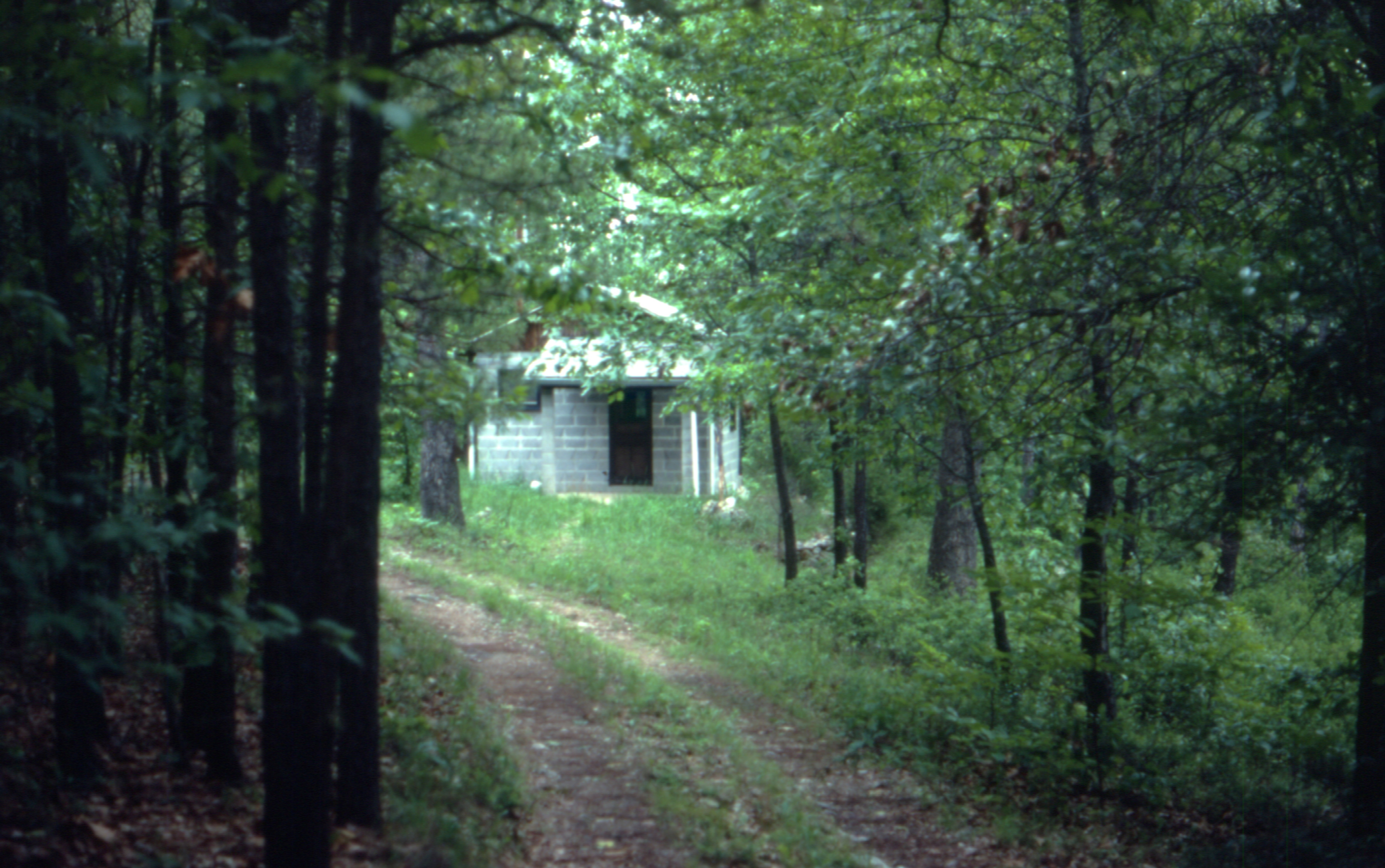
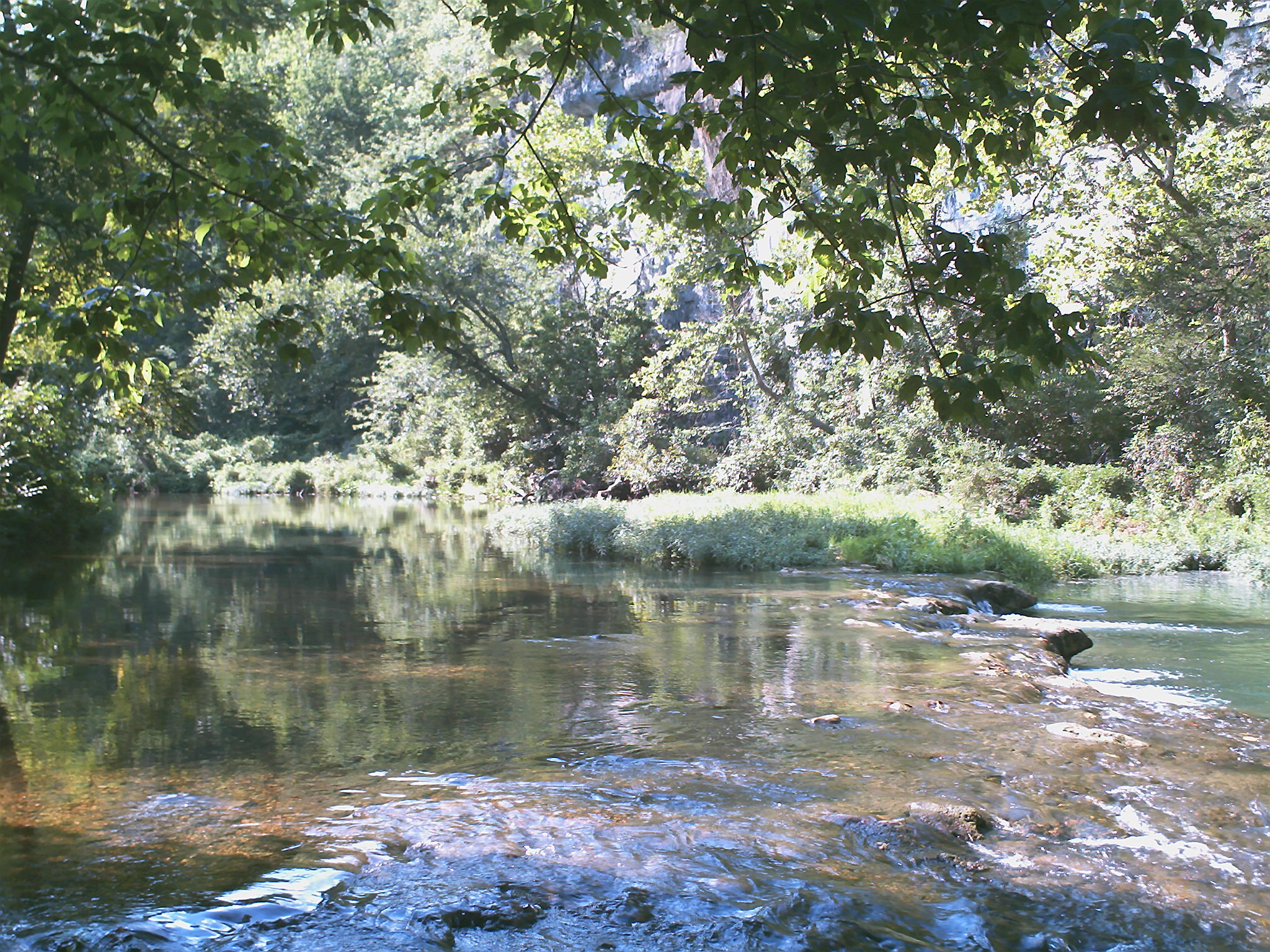
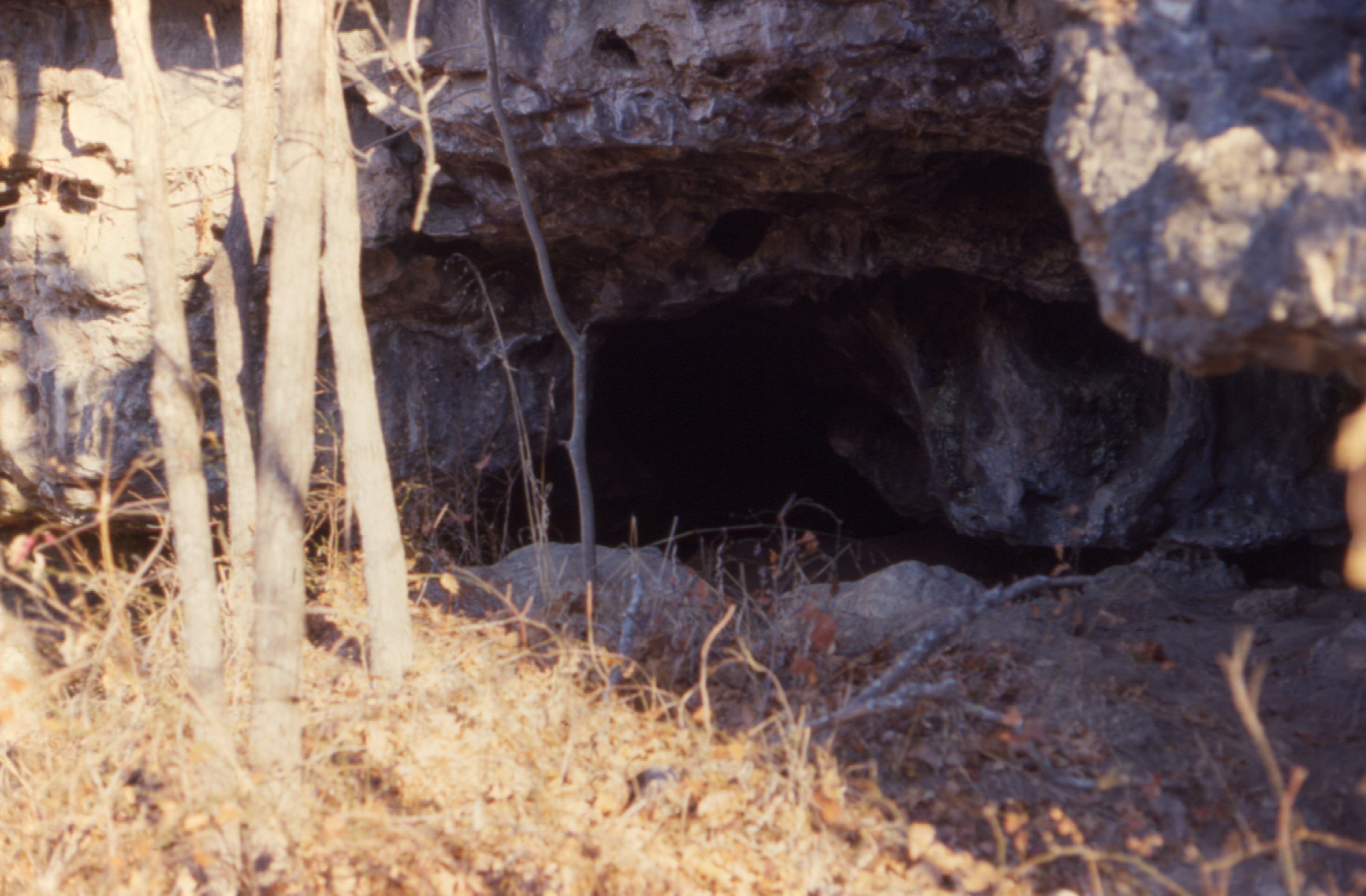
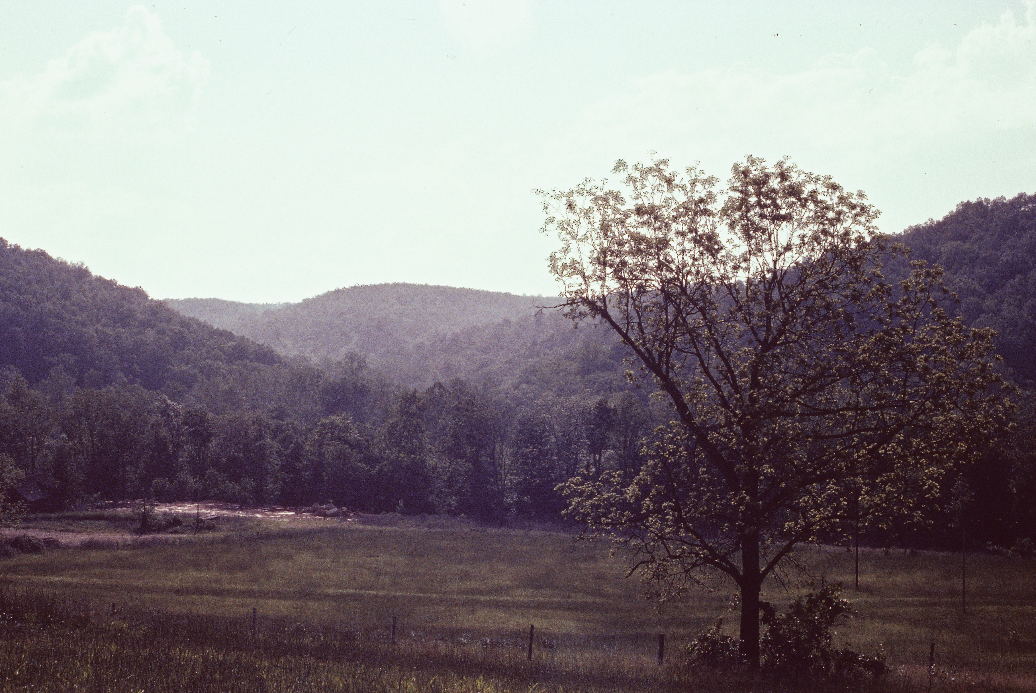
Related Photos:
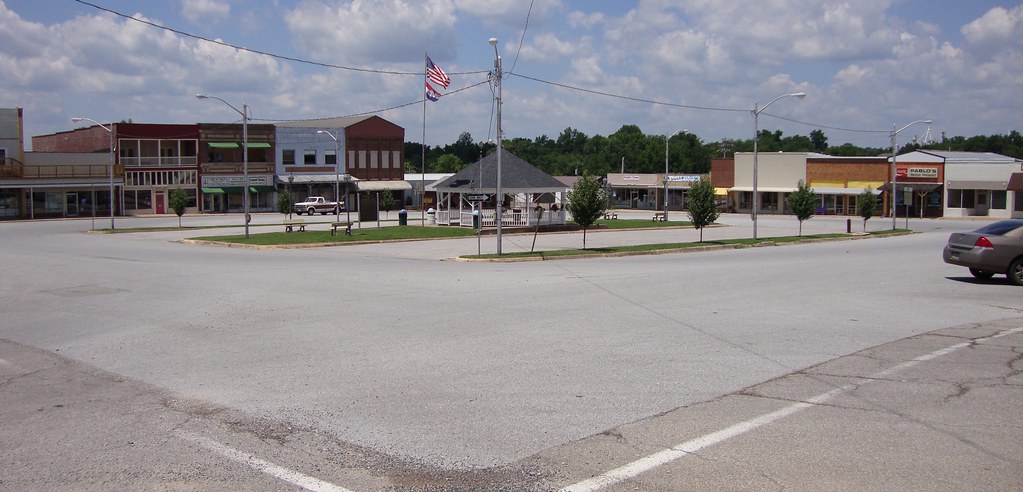
Downtown Ava, Missouri

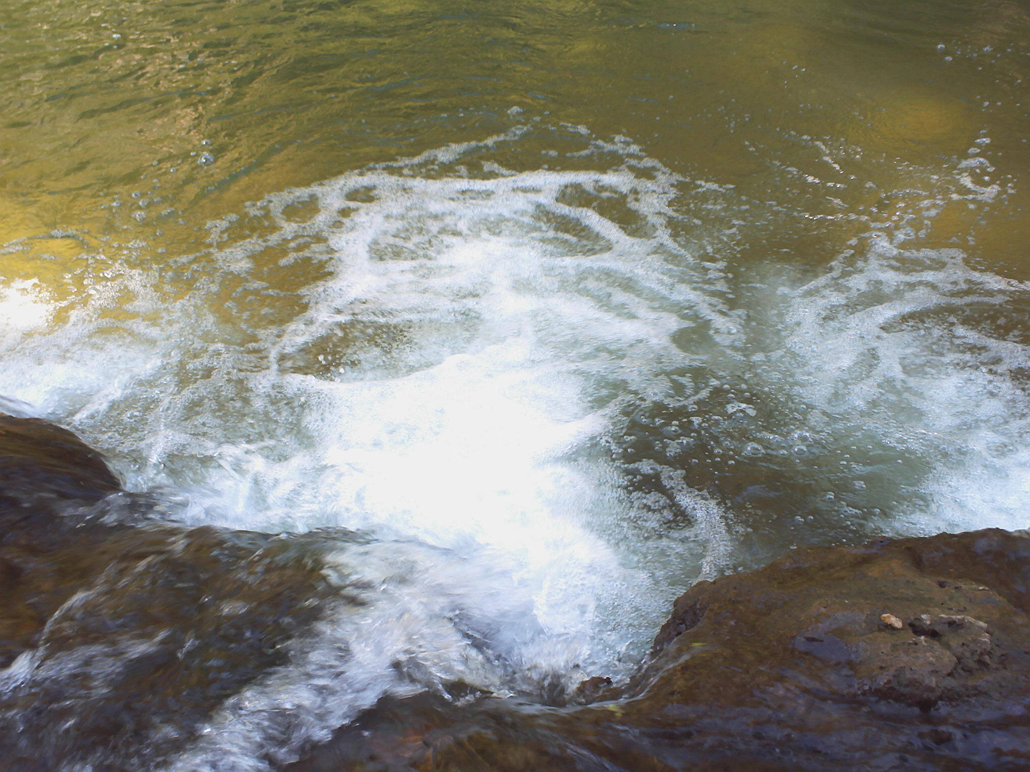
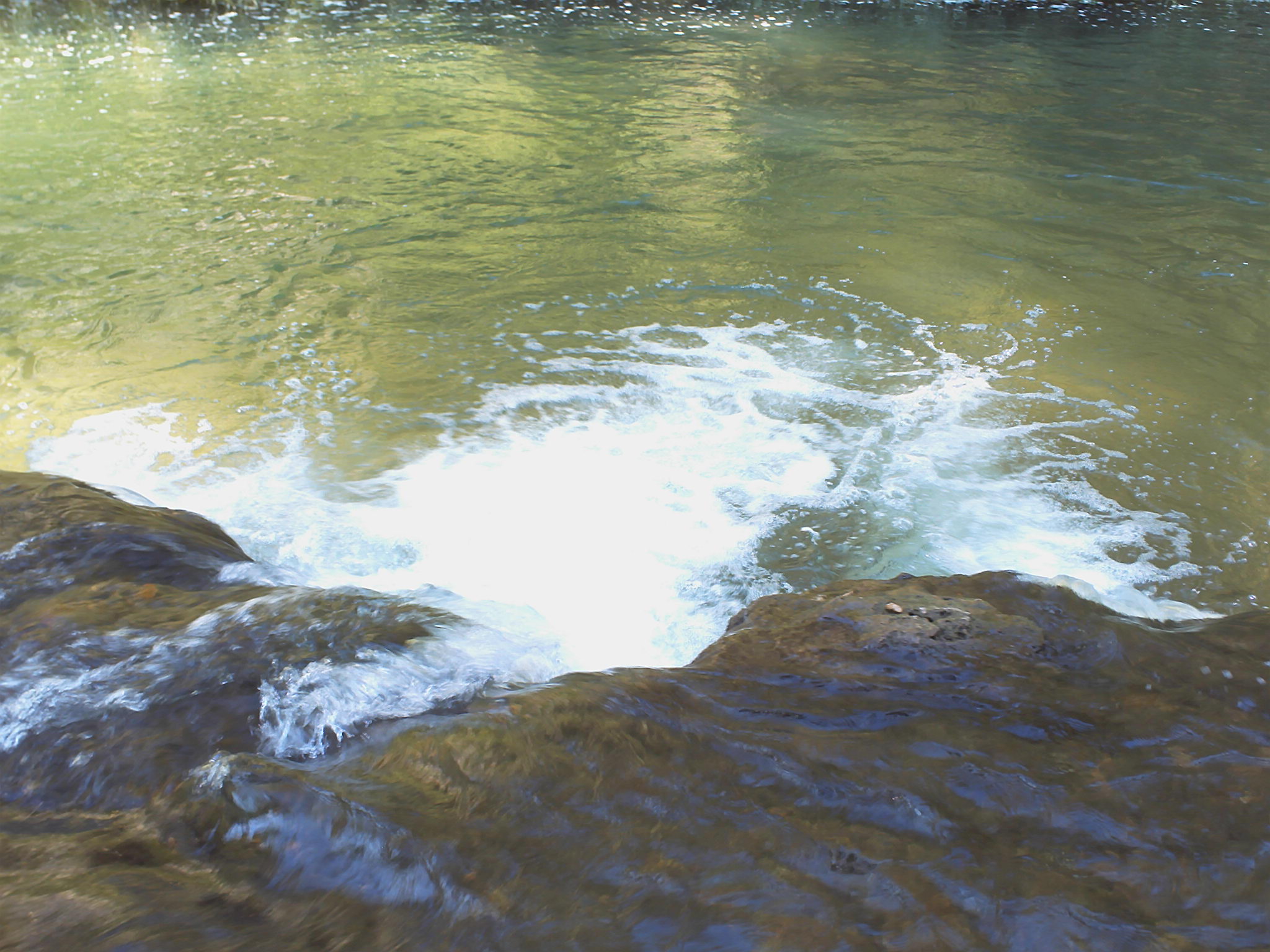
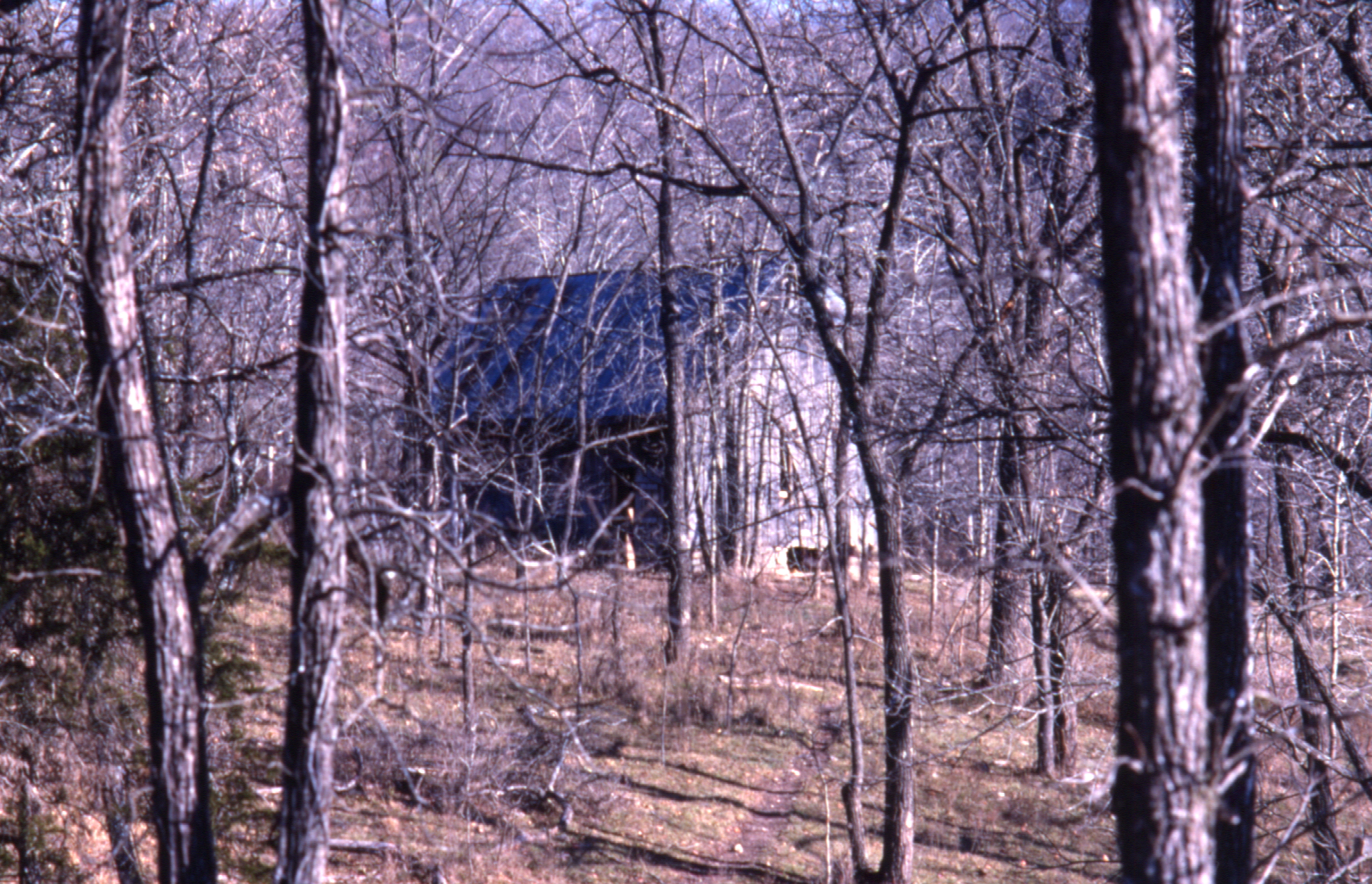
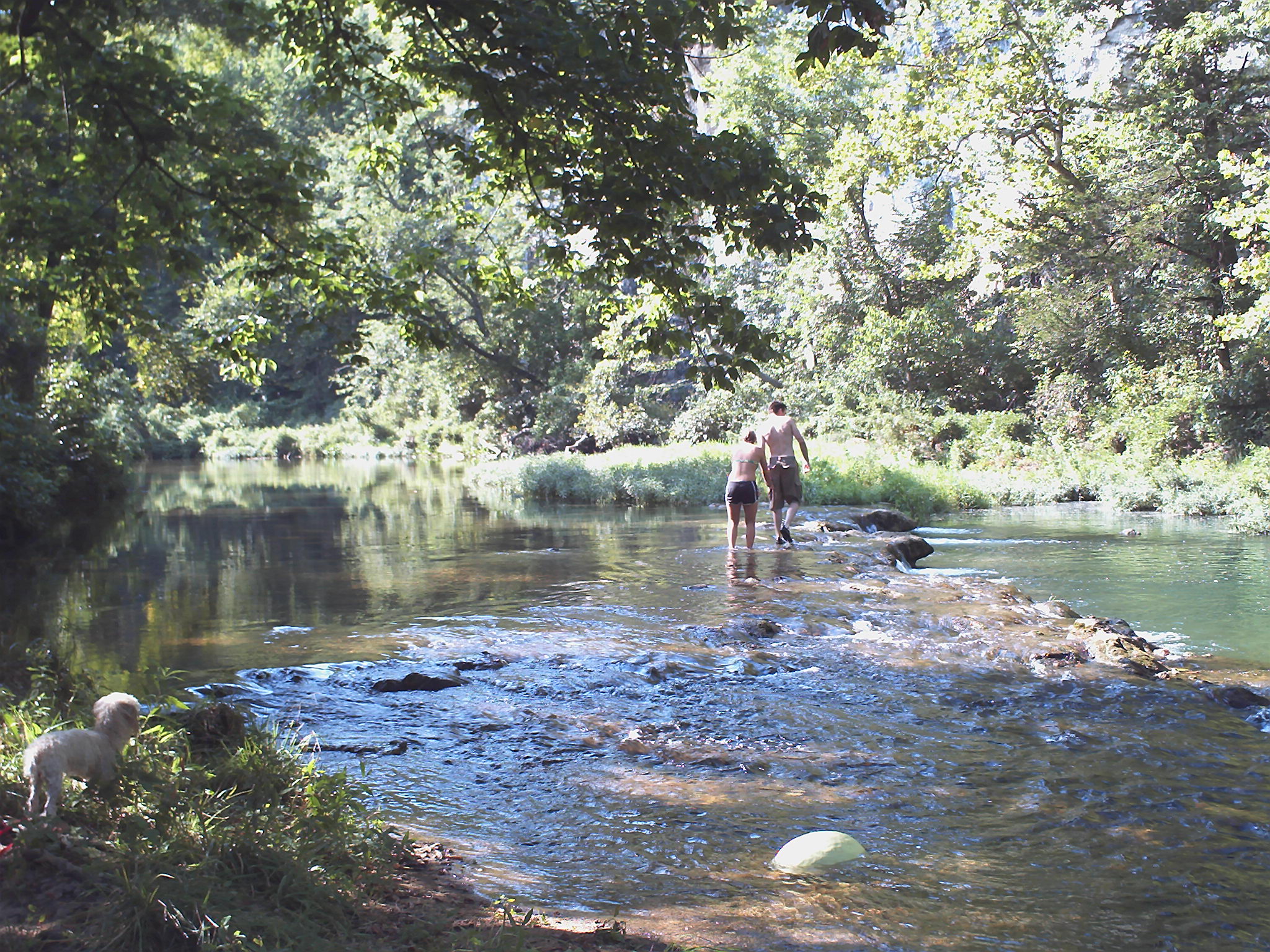
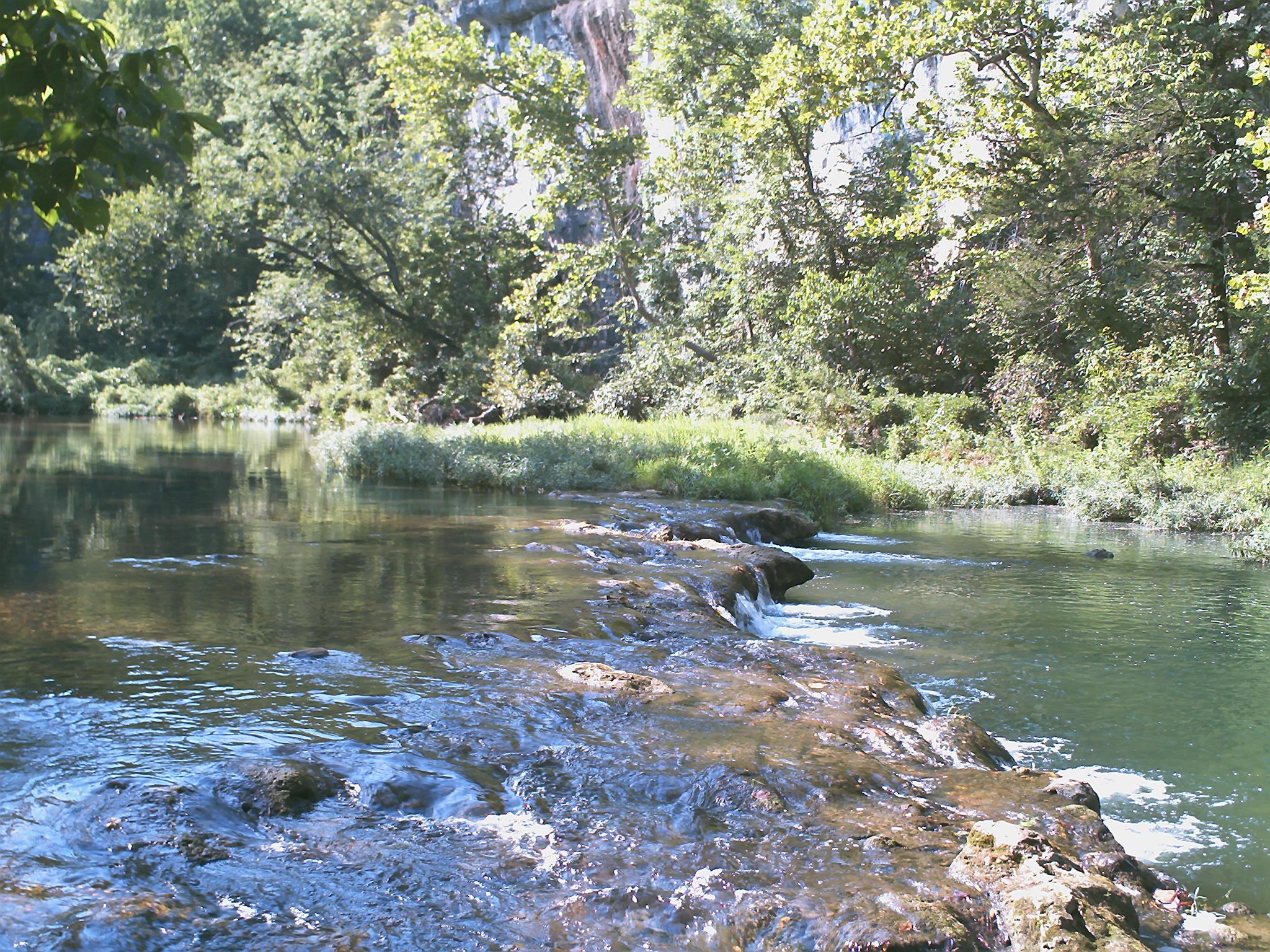
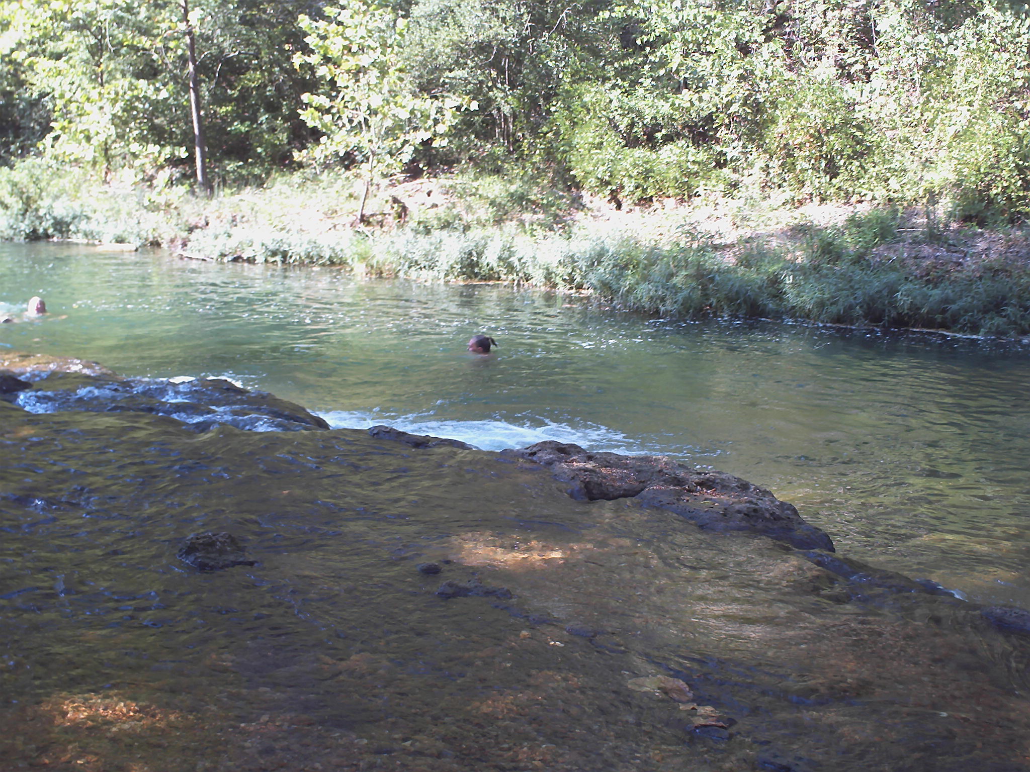
Bryant Creek near Assumption Abey

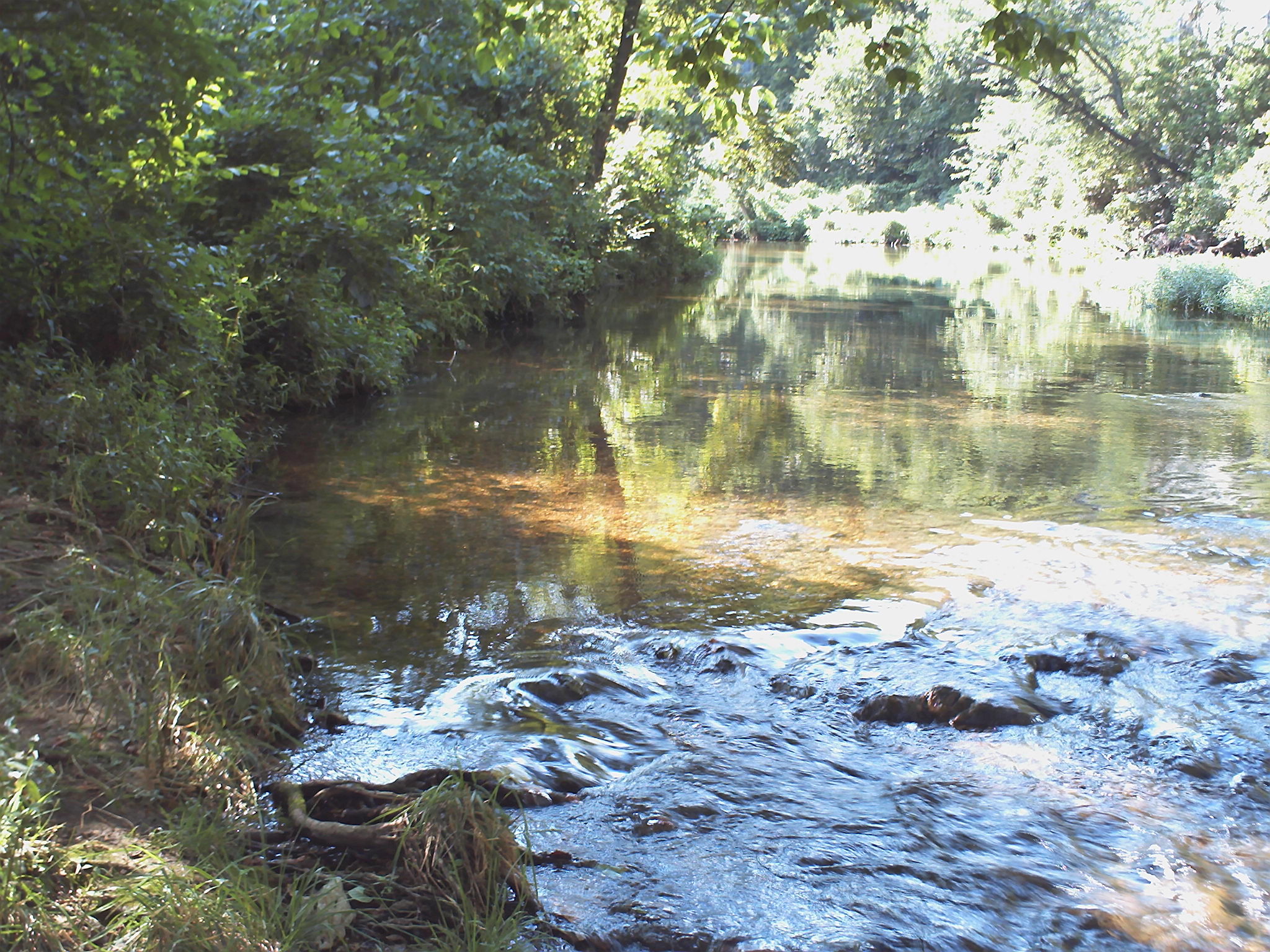
Bryant Creek near Assumption Abey
ffhhPICT0001 (107)
1981 01 jan 26
ffhhPICT0001 (103)
1981 01 jan 23

1981 05 may ii _0001
1981 01 jan ii 12
ffhhPICT0001 (54)
1981 01 jan 20
1981 05 may ii _0009 wp1
ffhhPICT0001 (52)
1981 01 jan ii 33

1981 05 may i _0012
0462959-R1-E003
ffhhPICT0001 (91)
ffhhPICT0001 (106)

1981 05 may 01
ffhhPICT0001 (74)
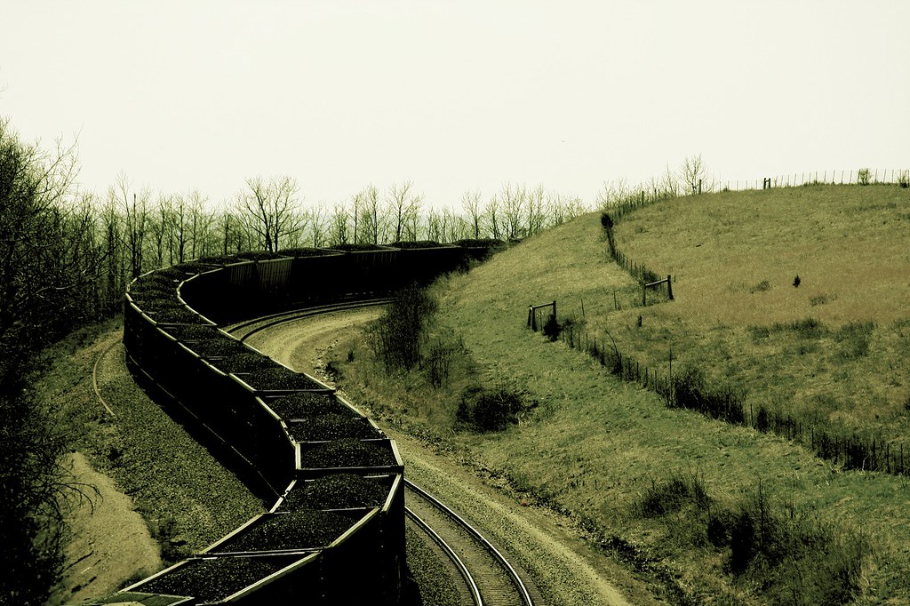
22,000 horsepower
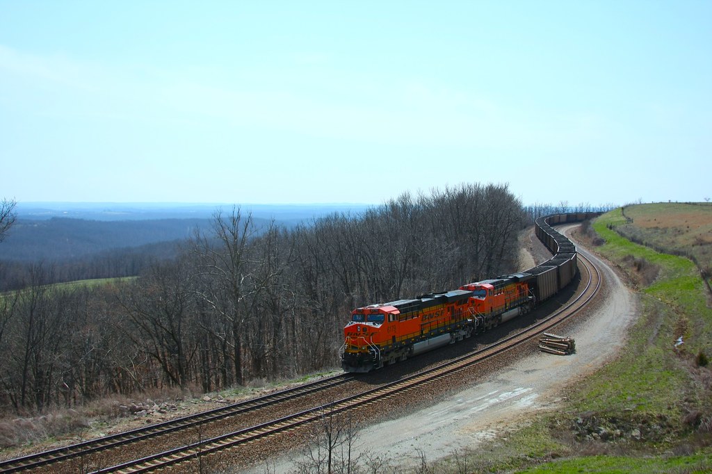
coal train hold the main
Topographic Map of Douglas County, MO, USA
Find elevation by address:

Places in Douglas County, MO, USA:
Benton Township
Washington Township
Champion Township
County Road P-305
Walls Township
Spring Creek Township
Jackson Township
Bryan Township
State Highway Ak
Places near Douglas County, MO, USA:
MO-76, Norwood, MO, USA
County Road 235
County Road P-305
County Road P-305
Walls Township
Champion Township
Clark Township
808 Elm Ave
Mansfield
E Commercial St, Mansfield, MO, USA
Hill St, Norwood, MO, USA
Ava
Norwood
Squires
Northwest 3rd Avenue
Gentryville
Pleasant Valley Township
County Road 417
Drury
Wasola
Recent Searches:
- Elevation map of Greenland, Greenland
- Elevation of Sullivan Hill, New York, New York, 10002, USA
- Elevation of Morehead Road, Withrow Downs, Charlotte, Mecklenburg County, North Carolina, 28262, USA
- Elevation of 2800, Morehead Road, Withrow Downs, Charlotte, Mecklenburg County, North Carolina, 28262, USA
- Elevation of Yangbi Yi Autonomous County, Yunnan, China
- Elevation of Pingpo, Yangbi Yi Autonomous County, Yunnan, China
- Elevation of Mount Malong, Pingpo, Yangbi Yi Autonomous County, Yunnan, China
- Elevation map of Yongping County, Yunnan, China
- Elevation of North 8th Street, Palatka, Putnam County, Florida, 32177, USA
- Elevation of 107, Big Apple Road, East Palatka, Putnam County, Florida, 32131, USA
- Elevation of Jiezi, Chongzhou City, Sichuan, China
- Elevation of Chongzhou City, Sichuan, China
- Elevation of Huaiyuan, Chongzhou City, Sichuan, China
- Elevation of Qingxia, Chengdu, Sichuan, China
- Elevation of Corso Fratelli Cairoli, 35, Macerata MC, Italy
- Elevation of Tallevast Rd, Sarasota, FL, USA
- Elevation of 4th St E, Sonoma, CA, USA
- Elevation of Black Hollow Rd, Pennsdale, PA, USA
- Elevation of Oakland Ave, Williamsport, PA, USA
- Elevation of Pedrógão Grande, Portugal