Elevation of Norwood, MO, USA
Location: United States > Missouri > Wright County > Clark Township >
Longitude: -92.414886
Latitude: 37.1083858
Elevation: 452m / 1483feet
Barometric Pressure: 96KPa
Elevation Map:
Satellite Map:
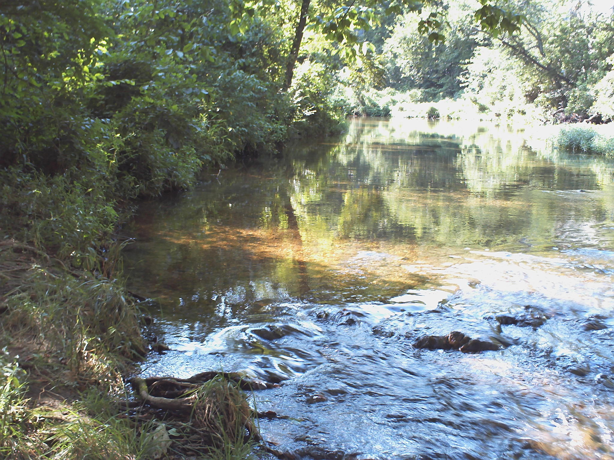
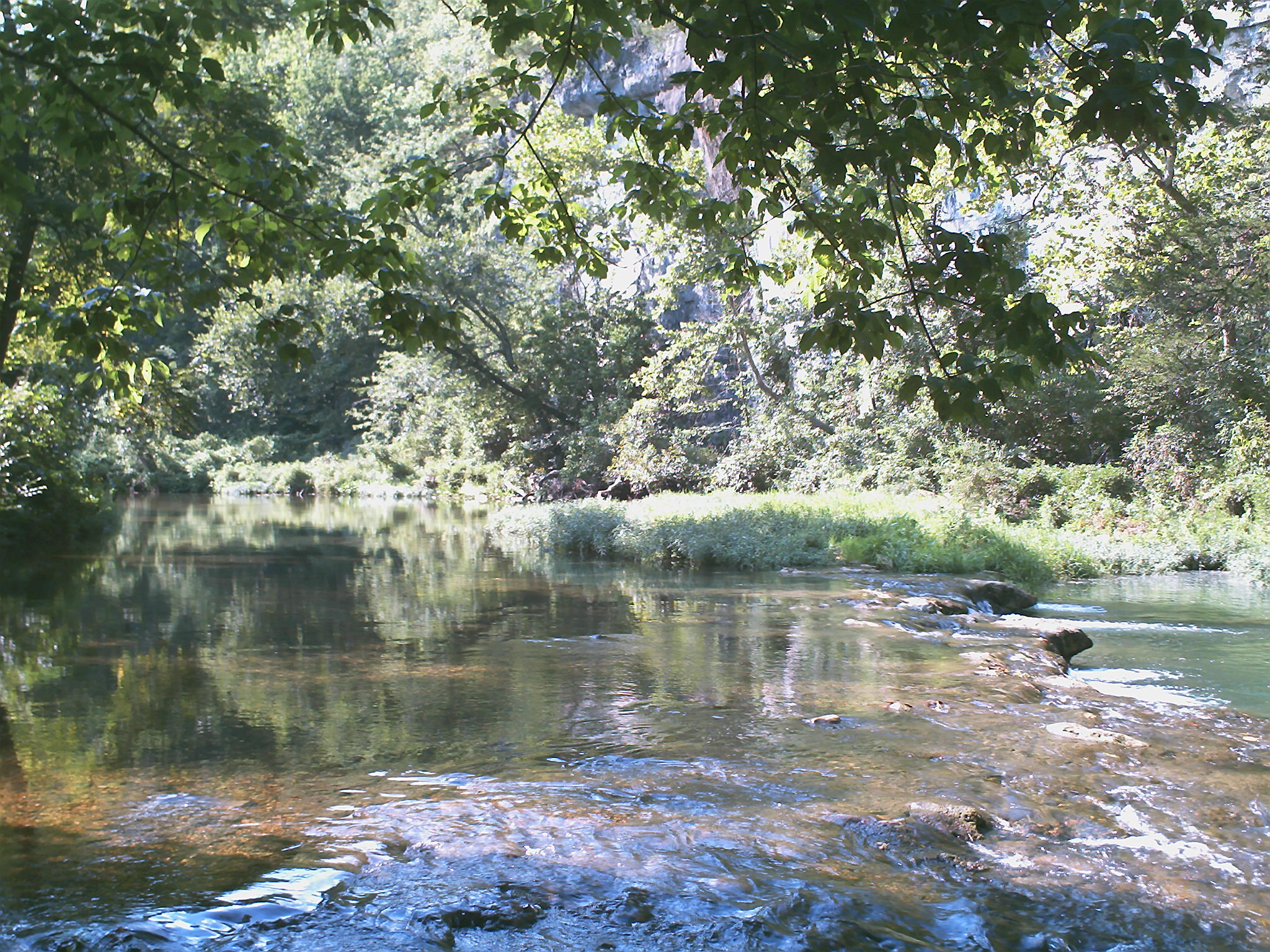
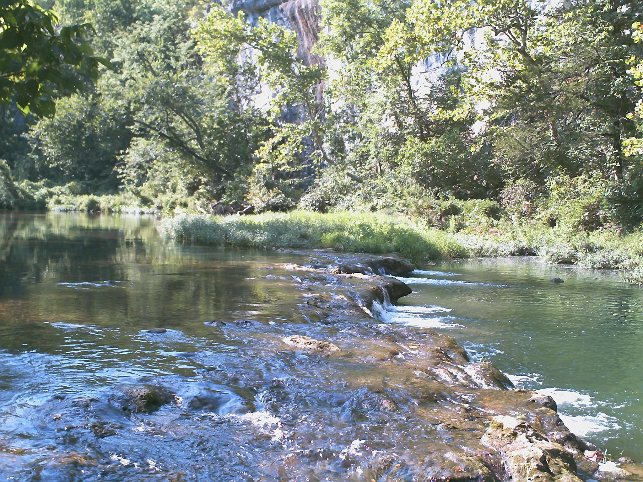
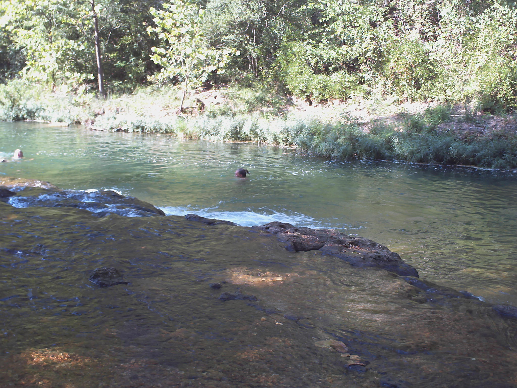
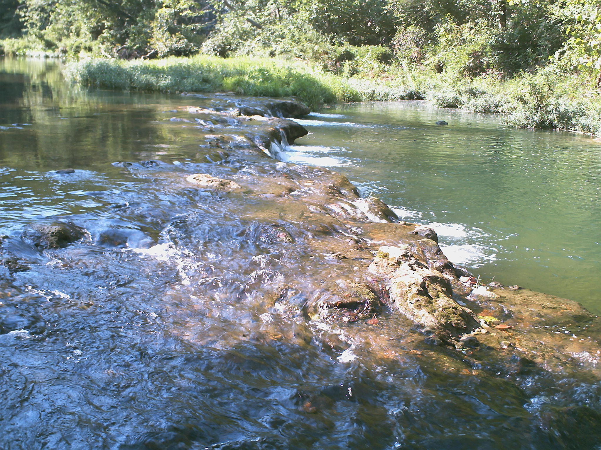
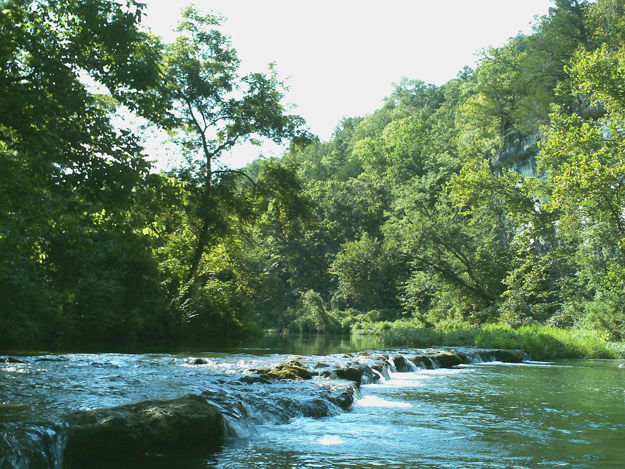
Related Photos:

ffhhPICT0001 (107)

ffhhPICT0001 (103)
ffhhPICT0001 (54)
ffhhPICT0001 (52)
ffhhPICT0001 (106)
ffhhPICT0001 (74)

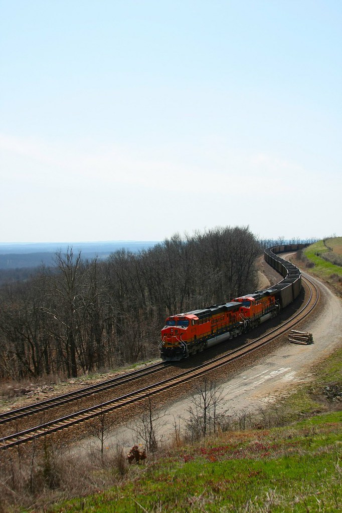
22,000 horsepower
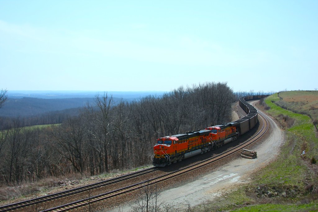
coal train hold the main

ffhhPICT0001 (56)
ffhhPICT0001 (105)

ffhhPICT0001 (57)
ffhhPICT0001 (58)

Tri-County MarooNation Picnic - June 2013
ffhhPICT0001 (61)

ffhhPICT0001 (59)

ffhhPICT0001 (138)

ffhhPICT0001 (108)
locke, missouri

ffhhPICT0001 (91)
Topographic Map of Norwood, MO, USA
Find elevation by address:

Places near Norwood, MO, USA:
Hill St, Norwood, MO, USA
Mountain Grove Township
Clark Township
2401 Coke Rd
9310 Hwy Zz
MO-76, Norwood, MO, USA
5097 Highway W
Mountain Grove Chamber
Mountain Grove
N Main St, Mountain Grove, MO, USA
Bethel Chapel Road
Bethel Chapel Road
Douglas County
Mansfield
E Commercial St, Mansfield, MO, USA
Hartville
Vanzant
2694 Mountain Rd
4578 Indian Grove Rd
Pleasant Valley Township
Recent Searches:
- Elevation of Corso Fratelli Cairoli, 35, Macerata MC, Italy
- Elevation of Tallevast Rd, Sarasota, FL, USA
- Elevation of 4th St E, Sonoma, CA, USA
- Elevation of Black Hollow Rd, Pennsdale, PA, USA
- Elevation of Oakland Ave, Williamsport, PA, USA
- Elevation of Pedrógão Grande, Portugal
- Elevation of Klee Dr, Martinsburg, WV, USA
- Elevation of Via Roma, Pieranica CR, Italy
- Elevation of Tavkvetili Mountain, Georgia
- Elevation of Hartfords Bluff Cir, Mt Pleasant, SC, USA