Elevation of N Main St, Mountain Grove, MO, USA
Location: United States > Missouri > Wright County > Mountain Grove Township > Mountain Grove >
Longitude: -92.263201
Latitude: 37.1301719
Elevation: 451m / 1480feet
Barometric Pressure: 96KPa
Elevation Map:
Satellite Map:
Related Photos:
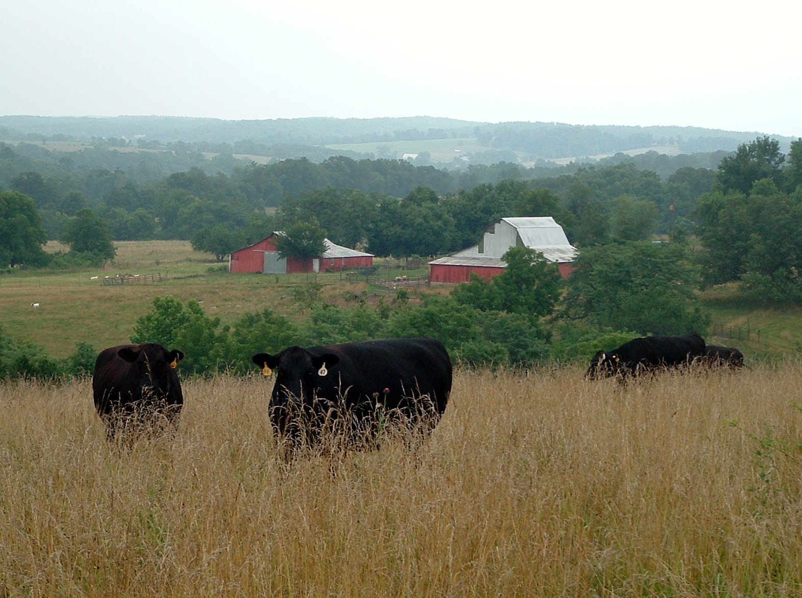
Mojeji Ranch 2011-11
late evening
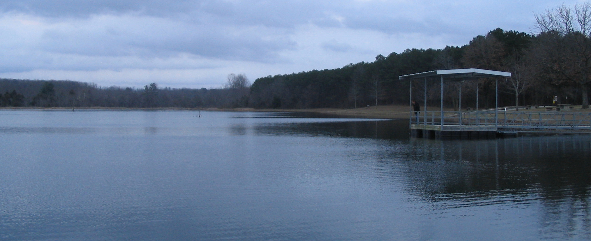
lakeside scene

2010-08-15

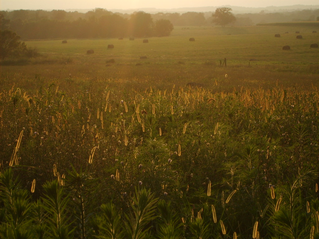
Mojeji Ranch 2011-16
Mojeji Ranch 2011-13

Tri-County MarooNation Picnic - June 2013

Mojeji Ranch 2011-9
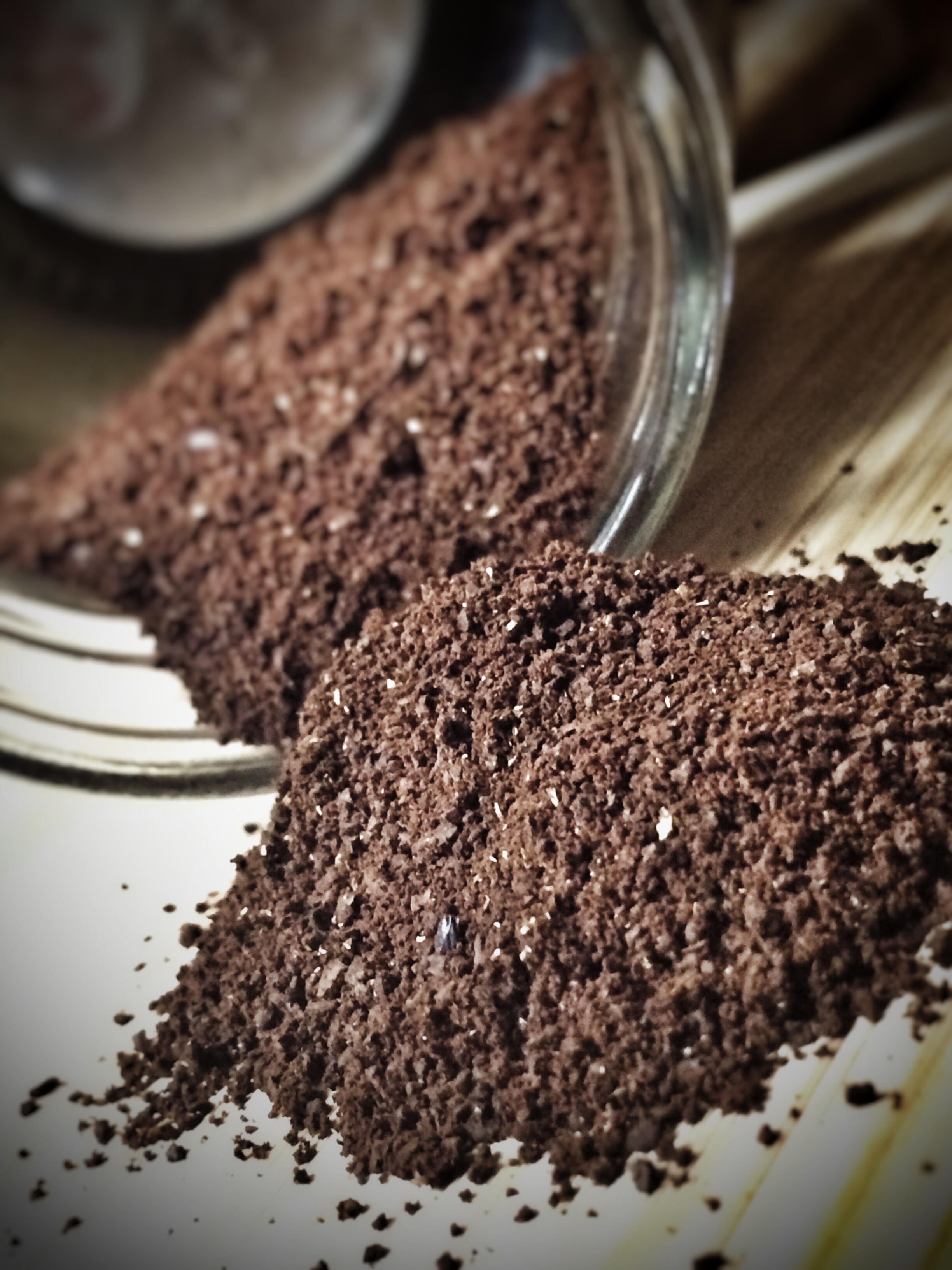
Fresh ground

Shenandoah and a Mitsu-Bishi

This is a beautiful thing.

Beehouse and beans

77 in stag

Northwoods in mammoth

Tidioute Beaver Tail

Esee Izula-II

Nataraj Platinum

TWSBI Diamond 580 in rose gold.

TWSBI Diamond 580 in rose gold.

Matching pair of TC Barlows, and a '47 Parker Debutante.

Northwoods Madison Barlow in blue camel bone

Northwoods Madison Barlow in blue camel bone
Northwoods Madison Barlow in blue camel bone

A Parker Vacuumatic and some coffee.

Brewing my first pack of Angel's Cup coffee. Some of the best roasters in the country participate. So far, it smells extraordinary. Used the 77 to open the packet. (No patina was harmed during the making of this coffee.)

Write, write, write, slice, light.

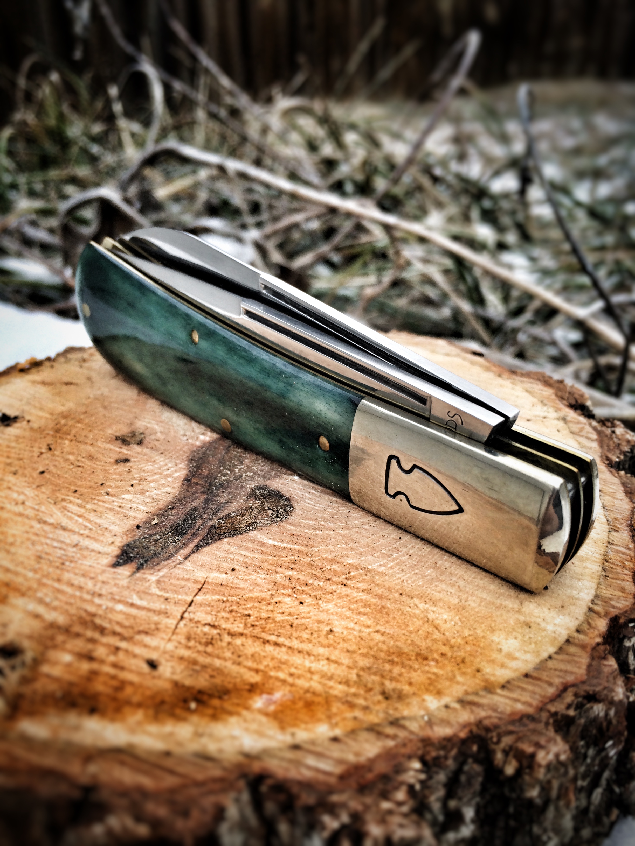
Green TC Barlow

Copper. Patina.

Boston Boot Co. and Northwoods Hawthorne clip point in mammoth.
Topographic Map of N Main St, Mountain Grove, MO, USA
Find elevation by address:

Places near N Main St, Mountain Grove, MO, USA:
Mountain Grove
Mountain Grove Chamber
2025 Hidden Valley Dr
2401 Coke Rd
9310 Hwy Zz
Mountain Grove Township
4814 Gravel Rd
5097 Highway W
Norwood
Hill St, Norwood, MO, USA
Cabool
Vanzant
Main St, Cabool, MO, USA
Van Buren Township
Burdine Township
Beeler Road
Bethel Chapel Road
Bethel Chapel Road
Drury
7226 Grimes Mill Dr
Recent Searches:
- Elevation of Corso Fratelli Cairoli, 35, Macerata MC, Italy
- Elevation of Tallevast Rd, Sarasota, FL, USA
- Elevation of 4th St E, Sonoma, CA, USA
- Elevation of Black Hollow Rd, Pennsdale, PA, USA
- Elevation of Oakland Ave, Williamsport, PA, USA
- Elevation of Pedrógão Grande, Portugal
- Elevation of Klee Dr, Martinsburg, WV, USA
- Elevation of Via Roma, Pieranica CR, Italy
- Elevation of Tavkvetili Mountain, Georgia
- Elevation of Hartfords Bluff Cir, Mt Pleasant, SC, USA