Elevation of Wright County, MO, USA
Location: United States > Missouri >
Longitude: -92.539603
Latitude: 37.3555654
Elevation: 440m / 1444feet
Barometric Pressure: 96KPa
Elevation Map:
Satellite Map:
Related Photos:

Lining up for battle

History repeated

Post Office 65662 (Grovespring, Missouri)

kelton house porch

kelton house doors

Wright County CH - Hartville
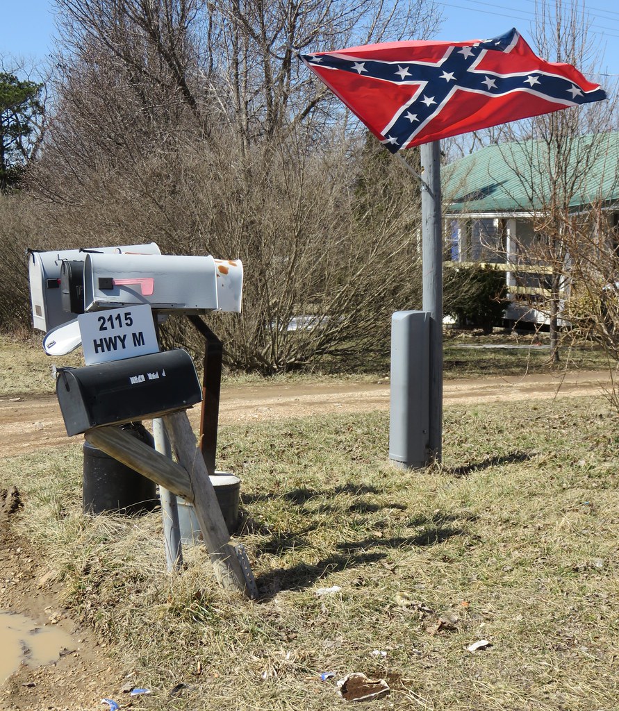
Mailboxes and Confederate Flag (Grovespring, Missouri)

Pepsi Drinker In A Coke Town

think American
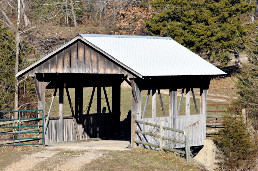
Covered Bridge_DSC0442r
Topographic Map of Wright County, MO, USA
Find elevation by address:

Places in Wright County, MO, USA:
Mountain Grove Township
Pleasant Valley Township
Montgomery Township
Clark Township
Duncan Rd, Marshfield, MO, USA
Hill St, Norwood, MO, USA
Hartville
Van Buren Township
Brush Creek Township
Places near Wright County, MO, USA:
Brush Creek Township
4004 Pasley Rd
4578 Indian Grove Rd
5988 Hwy H
Hartville
1455 Mo-38
Bethel Chapel Road
Bethel Chapel Road
Franklin Township
Duncan Rd, Marshfield, MO, USA
7226 Grimes Mill Dr
8361 Perkins Rd
8361 Perkins Rd
20 State Hwy H, Mountain Grove, MO, USA
State Hwy M, Niangua, MO, USA
Montgomery Township
2694 Mountain Rd
Tulsa Dr, Lebanon, MO, USA
Van Buren Township
5097 Highway W
Recent Searches:
- Elevation of Corso Fratelli Cairoli, 35, Macerata MC, Italy
- Elevation of Tallevast Rd, Sarasota, FL, USA
- Elevation of 4th St E, Sonoma, CA, USA
- Elevation of Black Hollow Rd, Pennsdale, PA, USA
- Elevation of Oakland Ave, Williamsport, PA, USA
- Elevation of Pedrógão Grande, Portugal
- Elevation of Klee Dr, Martinsburg, WV, USA
- Elevation of Via Roma, Pieranica CR, Italy
- Elevation of Tavkvetili Mountain, Georgia
- Elevation of Hartfords Bluff Cir, Mt Pleasant, SC, USA