Elevation of Montgomery Township, MO, USA
Location: United States > Missouri > Wright County >
Longitude: -92.341887
Latitude: 37.4023417
Elevation: 377m / 1237feet
Barometric Pressure: 97KPa
Elevation Map:
Satellite Map:
Related Photos:
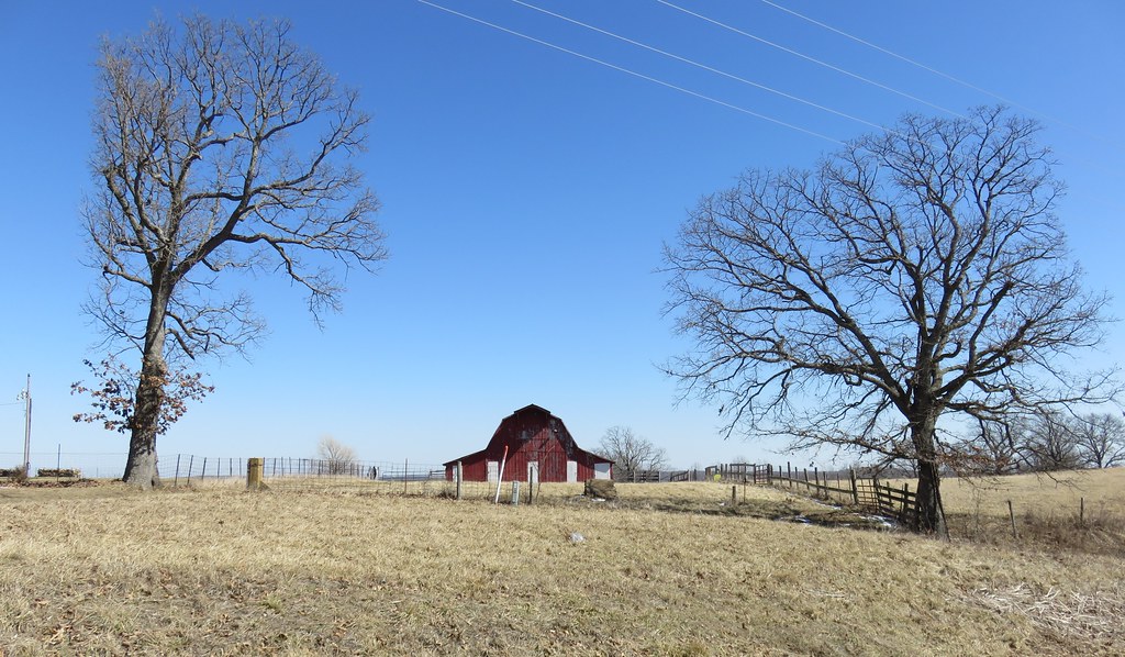
Missouri Ozarks Landscape (Wright County, Missouri)
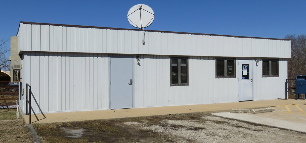
Post Office 65660 (Graff, Missouri)

Cat Peeking

Happy Dog

2012-06-22 13.57.13

2012-06-22 13.57.05

2012-06-22 13.56.57

2012-06-22 13.56.28

2012-06-22 13.56.12

2012-06-22 13.56.01

2012-06-22 13.55.55

2012-06-22 13.55.48

2012-06-22 13.55.40

2012-06-22 13.55.31

2012-06-22 13.54.47

2012-06-22 13.54.41

2012-06-22 13.48.03

2012-06-22 13.47.50

2012-06-22 13.46.13

2012-06-22 13.44.33

2012-06-22 13.43.55
Topographic Map of Montgomery Township, MO, USA
Find elevation by address:

Places in Montgomery Township, MO, USA:
Places near Montgomery Township, MO, USA:
20 State Hwy H, Mountain Grove, MO, USA
8361 Perkins Rd
8361 Perkins Rd
7226 Grimes Mill Dr
5988 Hwy H
Artie Jake Rd, Lynchburg, MO, USA
Van Buren Township
Violet Dr, Lynchburg, MO, USA
Plato
Bethel Chapel Road
Bethel Chapel Road
Gasconade Township
5097 Highway W
Franklin Township
Brush Creek Township
County Rd 32-, Falcon, MO, USA
Wright County
4578 Indian Grove Rd
Tulsa Dr, Lebanon, MO, USA
Hartville
Recent Searches:
- Elevation of Corso Fratelli Cairoli, 35, Macerata MC, Italy
- Elevation of Tallevast Rd, Sarasota, FL, USA
- Elevation of 4th St E, Sonoma, CA, USA
- Elevation of Black Hollow Rd, Pennsdale, PA, USA
- Elevation of Oakland Ave, Williamsport, PA, USA
- Elevation of Pedrógão Grande, Portugal
- Elevation of Klee Dr, Martinsburg, WV, USA
- Elevation of Via Roma, Pieranica CR, Italy
- Elevation of Tavkvetili Mountain, Georgia
- Elevation of Hartfords Bluff Cir, Mt Pleasant, SC, USA