Elevation of Drury, MO, USA
Location: United States > Missouri > Douglas County > Champion Township >
Longitude: -92.322539
Latitude: 36.930137
Elevation: 369m / 1211feet
Barometric Pressure: 97KPa
Elevation Map:
Satellite Map:
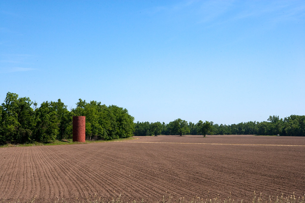
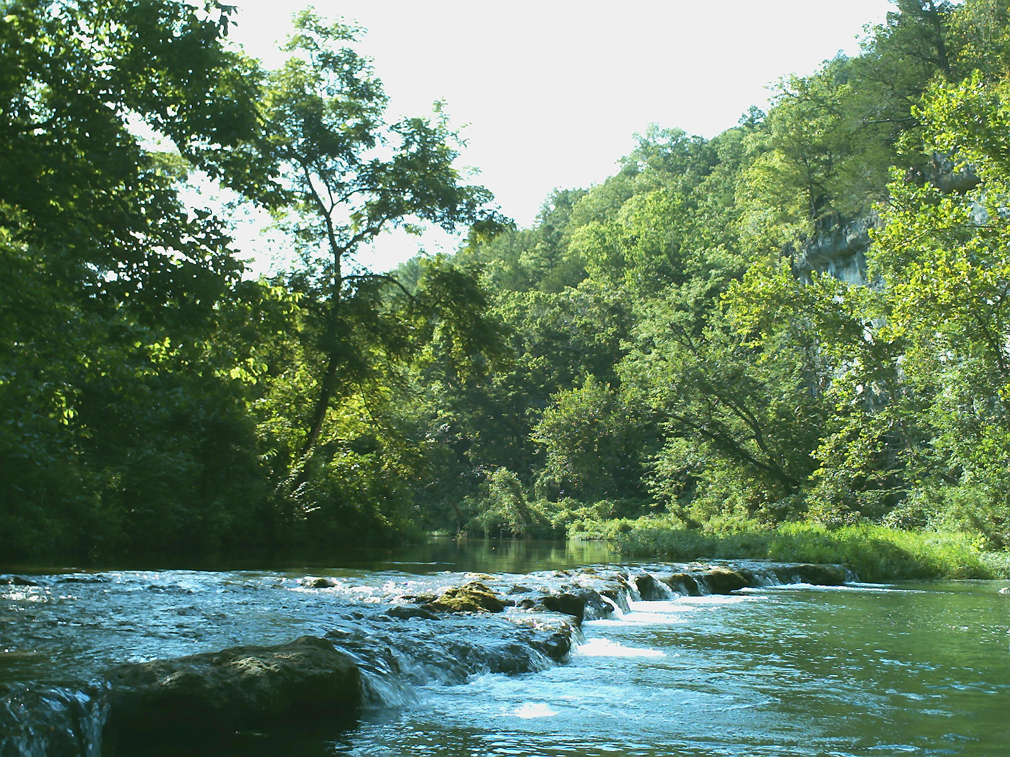
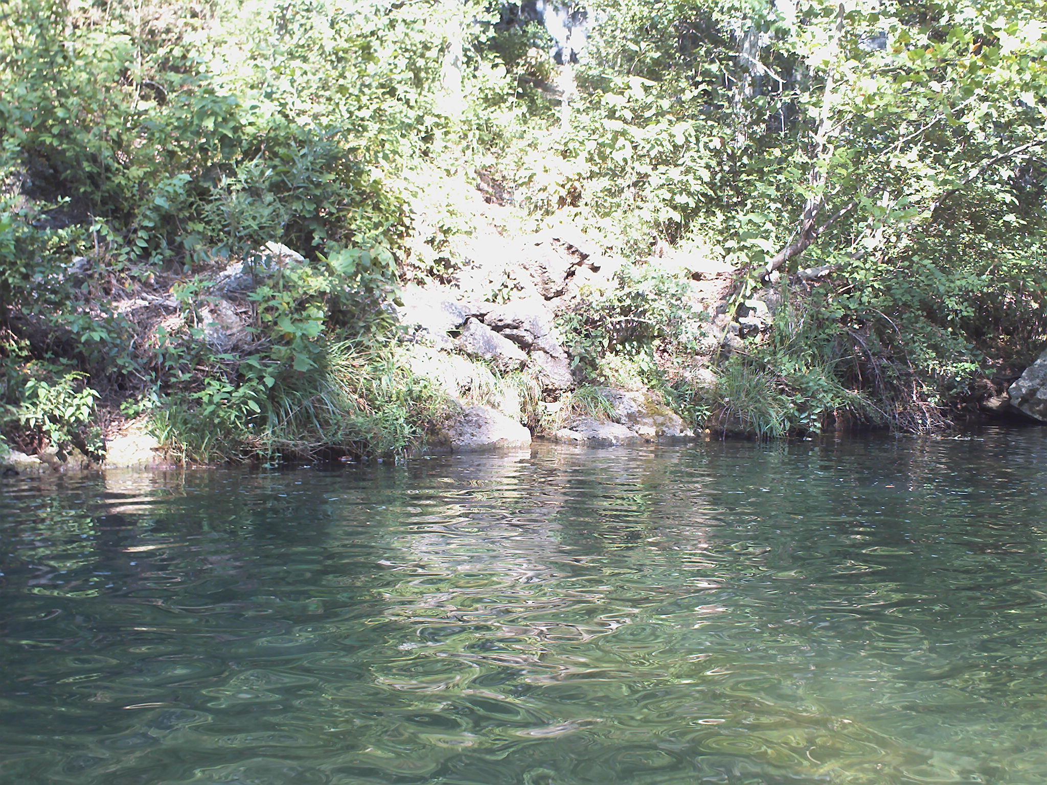
Related Photos:

ffhhPICT0001 (107)

1981 05 may ii _0001

ffhhPICT0001 (103)

1981 01 jan 23

1981 01 jan 20

ffhhPICT0001 (54)

1981 05 may ii _0009 wp1
Prepared Field _R6D2579e1

ffhhPICT0001 (52)

1981 05 may 01

Missouri Field _R6D2582e1

b19 IMG_2509 ac

1981 05 may i _0003 a ac

ffhhPICT0001 (105)

1980 08 aug 16 bal1
ffhhPICT0001 (58)

b01 IMG_2502 ac
ffhhPICT0001 (61)

ffhhPICT0001 (59)

ffhhPICT0001 (138)

ffhhPICT0001 (108)
Topographic Map of Drury, MO, USA
Find elevation by address:

Places near Drury, MO, USA:
Vanzant
Champion Township
County Road 235
Gentryville
Bryan Township
Jackson Township
MO-76, Norwood, MO, USA
9310 Hwy Zz
Douglas County
Dora
613 Co Rd 379
613 Co Rd 379
613 Co Rd 379
240 Co Rd 191
Mountain Grove Township
Hill St, Norwood, MO, USA
Norwood
Richland Township
2025 Hidden Valley Dr
Mountain Grove Chamber
Recent Searches:
- Elevation of Corso Fratelli Cairoli, 35, Macerata MC, Italy
- Elevation of Tallevast Rd, Sarasota, FL, USA
- Elevation of 4th St E, Sonoma, CA, USA
- Elevation of Black Hollow Rd, Pennsdale, PA, USA
- Elevation of Oakland Ave, Williamsport, PA, USA
- Elevation of Pedrógão Grande, Portugal
- Elevation of Klee Dr, Martinsburg, WV, USA
- Elevation of Via Roma, Pieranica CR, Italy
- Elevation of Tavkvetili Mountain, Georgia
- Elevation of Hartfords Bluff Cir, Mt Pleasant, SC, USA