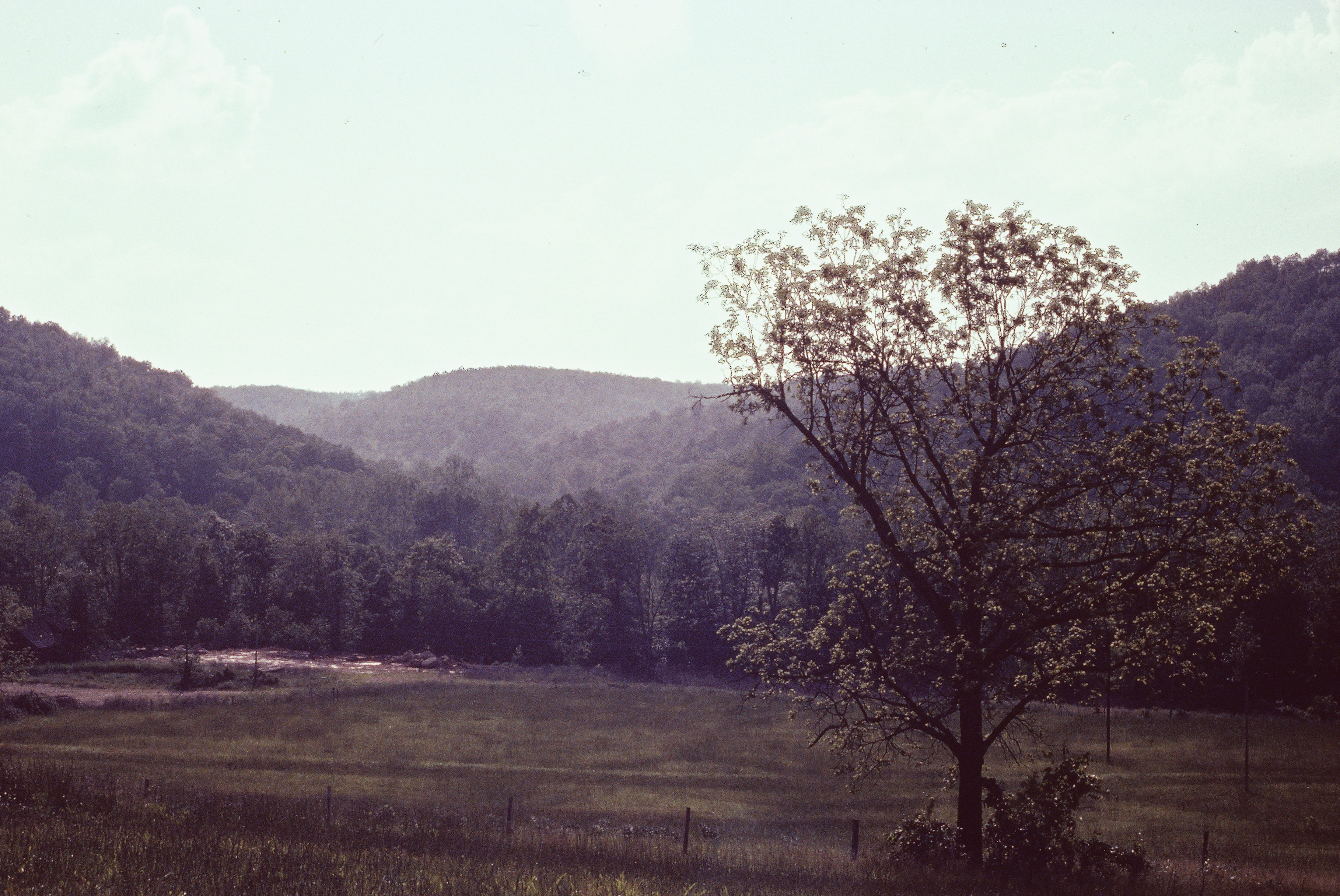
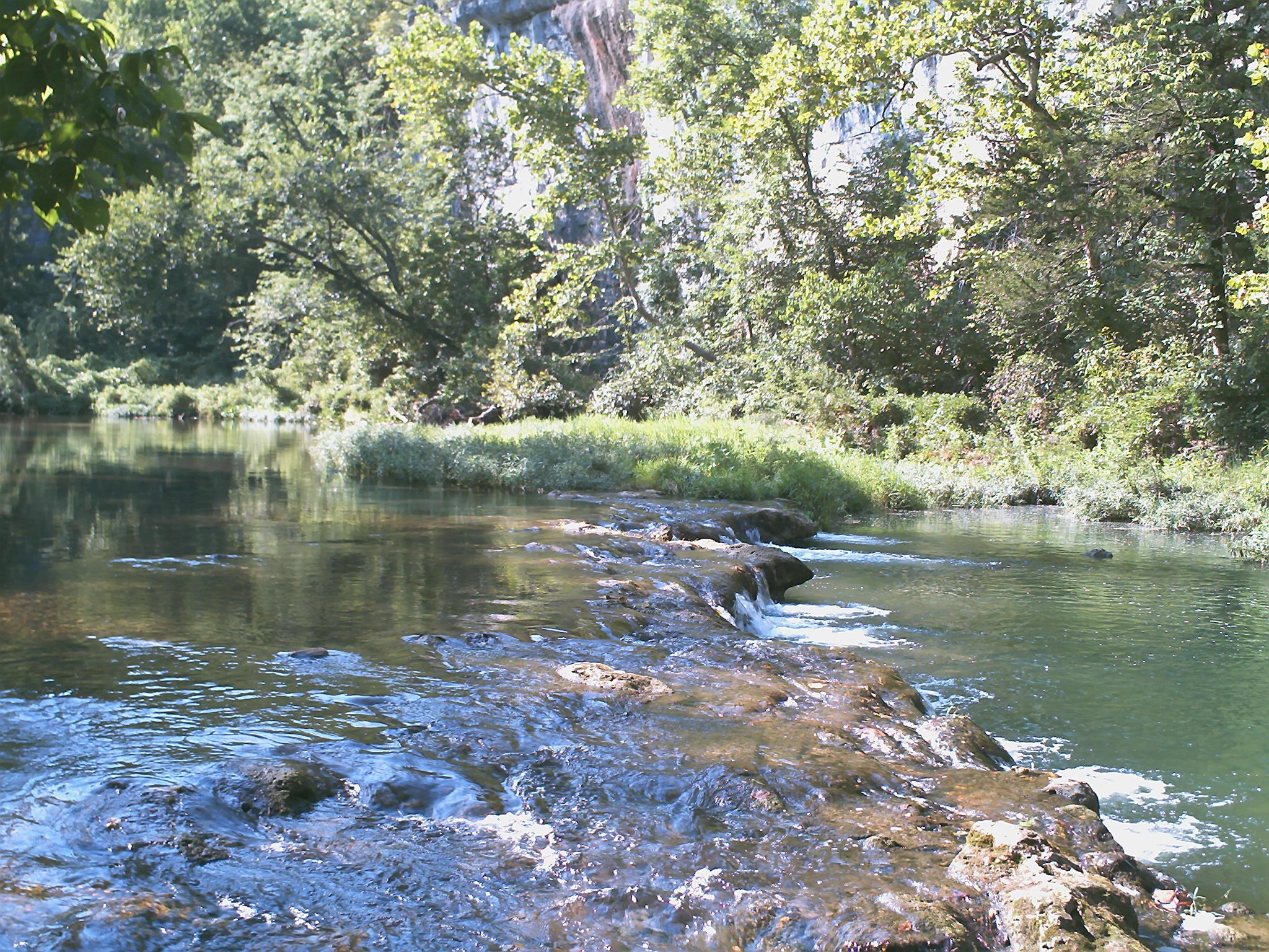
Elevation of MO-76, Norwood, MO, USA
Location: United States > Missouri >
Longitude: -92.4453244
Latitude: 36.9706079
Elevation: 374m / 1227feet
Barometric Pressure: 0KPa
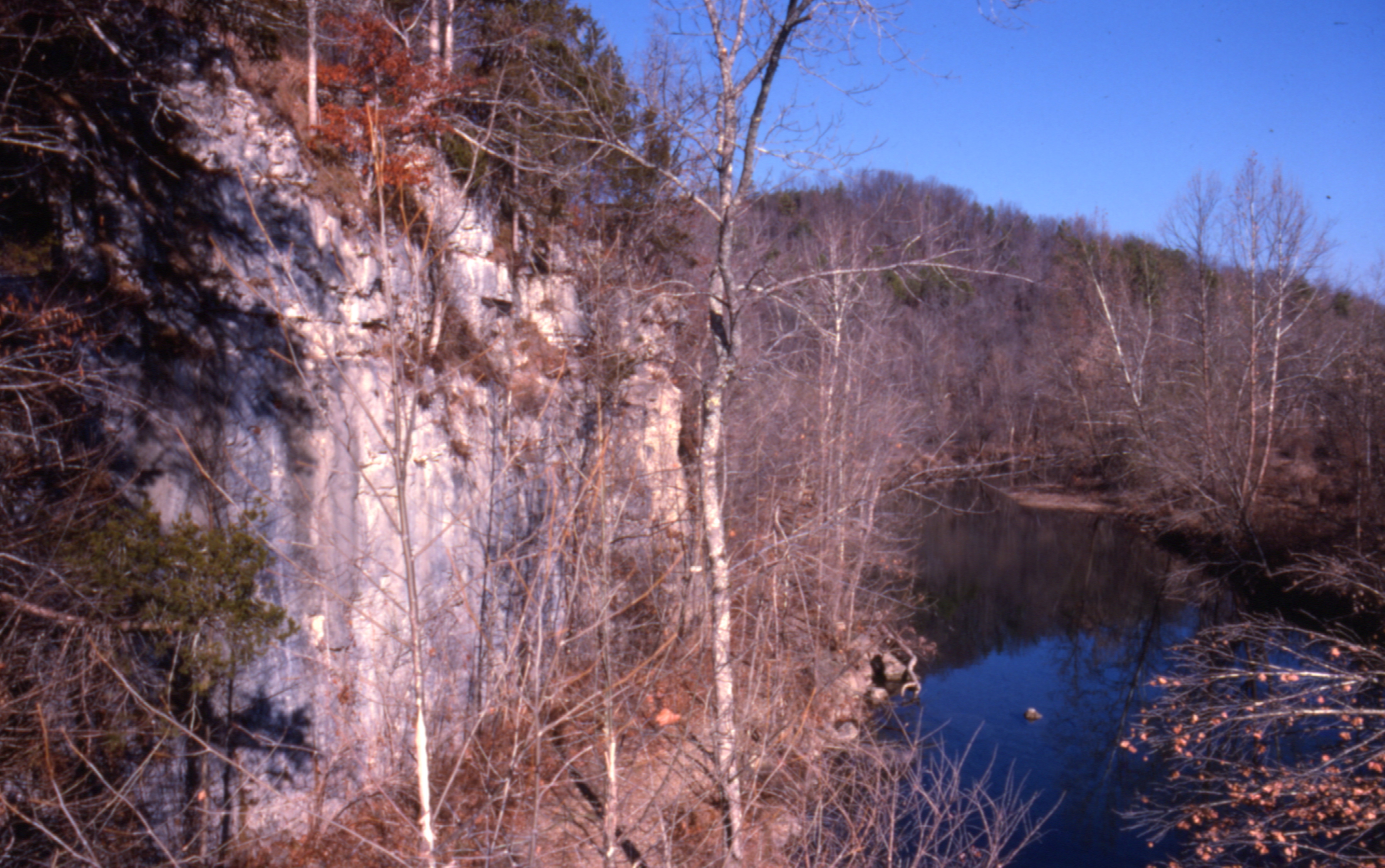
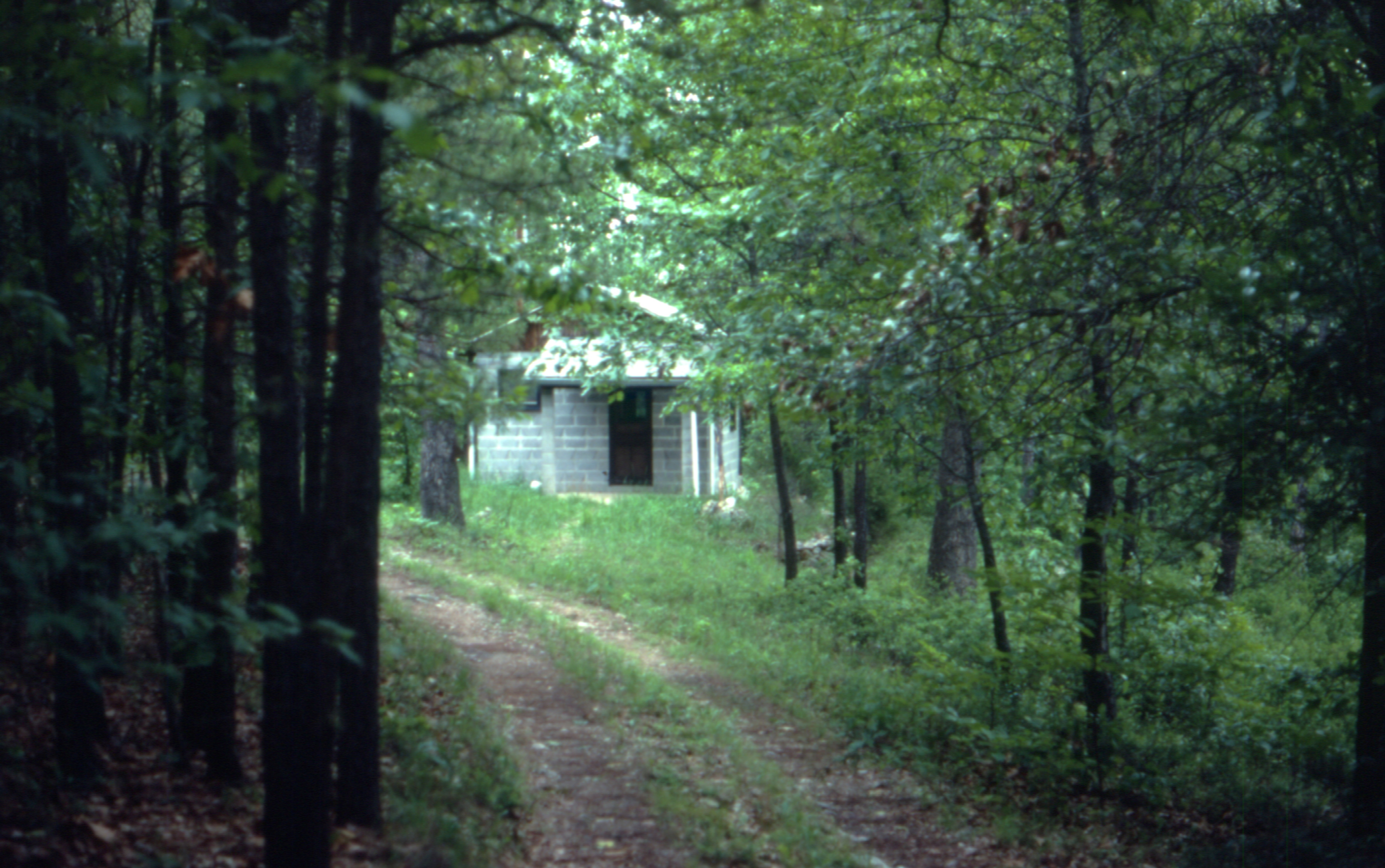
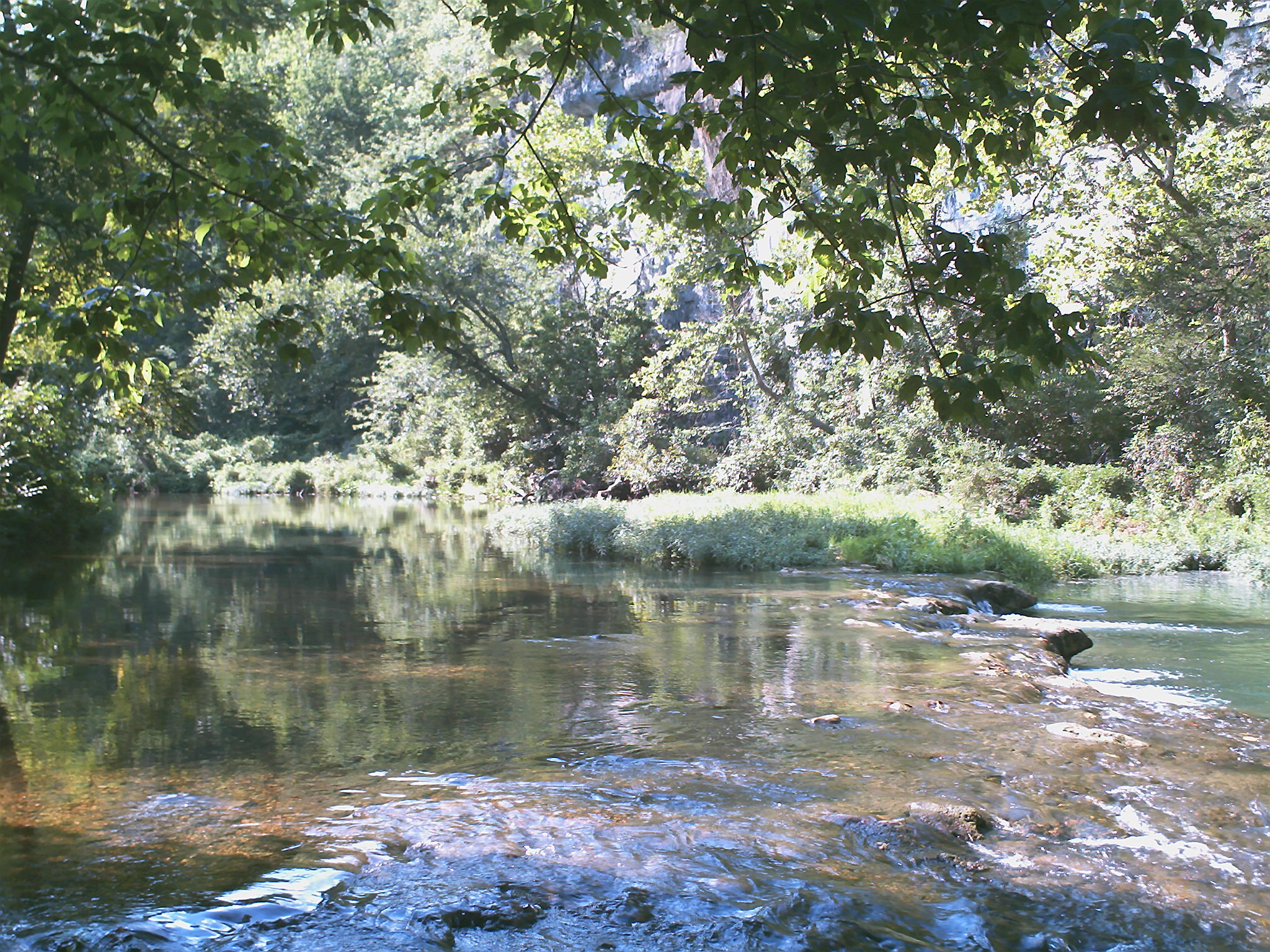
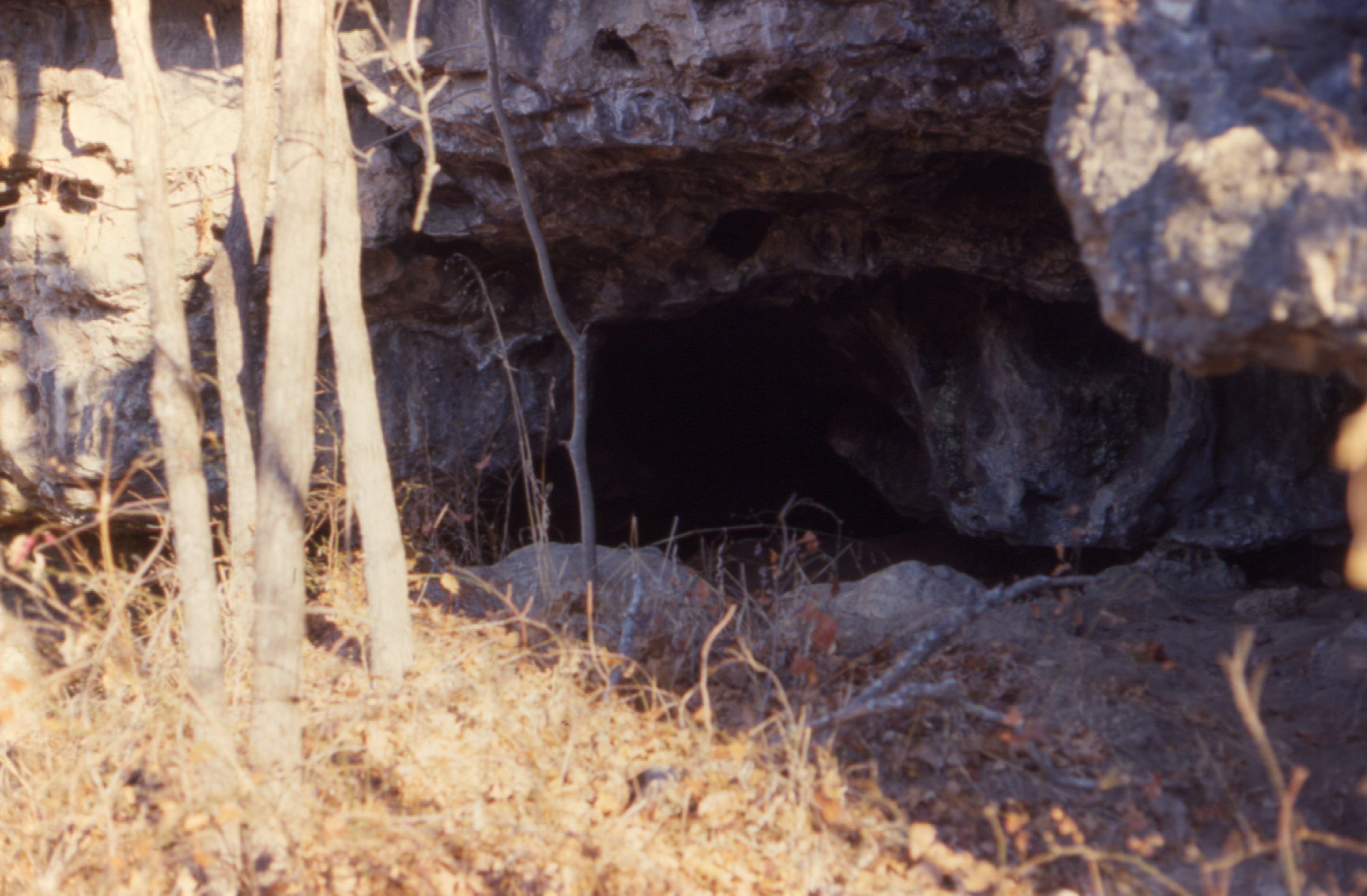
Related Photos:

ffhhPICT0001 (107)
1981 01 jan 26

ffhhPICT0001 (103)
1981 01 jan 23

1981 05 may ii _0001
1981 01 jan ii 12
ffhhPICT0001 (54)
1981 01 jan 20
1981 05 may ii _0009 wp1
ffhhPICT0001 (52)
1981 01 jan ii 33

1981 05 may i _0012
0462959-R1-E003

ffhhPICT0001 (91)
ffhhPICT0001 (106)

1981 05 may 01

ffhhPICT0001 (74)

22,000 horsepower
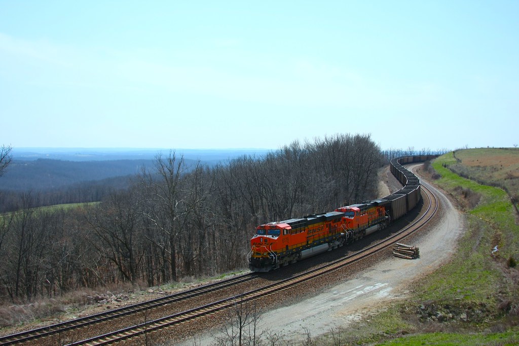
coal train hold the main
b19 IMG_2509 ac

ffhhPICT0001 (56)
Topographic Map of MO-76, Norwood, MO, USA
Find elevation by address:

Places near MO-76, Norwood, MO, USA:
Douglas County
County Road 235
Champion Township
Drury
Gentryville
Hill St, Norwood, MO, USA
Norwood
Vanzant
Clark Township
Jackson Township
Mountain Grove Township
County Road P-305
County Road P-305
Walls Township
Mansfield
E Commercial St, Mansfield, MO, USA
9310 Hwy Zz
808 Elm Ave
Bryan Township
Pleasant Valley Township
Recent Searches:
- Elevation of 24, Auburn Bay Crescent SE, Auburn Bay, Calgary, Alberta, T3M 0A6, Canada
- Elevation of Denver, 2314, Arapahoe Street, Five Points, Denver, Colorado, 80205, USA
- Elevation of Community of the Beatitudes, 2924, West 43rd Avenue, Sunnyside, Denver, Colorado, 80211, USA
- Elevation map of Litang County, Sichuan, China
- Elevation map of Madoi County, Qinghai, China
- Elevation of 3314, Ohio State Route 114, Payne, Paulding County, Ohio, 45880, USA
- Elevation of Sarahills Drive, Saratoga, Santa Clara County, California, 95070, USA
- Elevation of Town of Bombay, Franklin County, New York, USA
- Elevation of 9, Convent Lane, Center Moriches, Suffolk County, New York, 11934, USA
- Elevation of Saint Angelas Convent, 9, Convent Lane, Center Moriches, Suffolk County, New York, 11934, USA
- Elevation of 131st Street Southwest, Mukilteo, Snohomish County, Washington, 98275, USA
- Elevation of 304, Harrison Road, Naples, Cumberland County, Maine, 04055, USA
- Elevation of 2362, Timber Ridge Road, Harrisburg, Cabarrus County, North Carolina, 28075, USA
- Elevation of Ridge Road, Marshalltown, Marshall County, Iowa, 50158, USA
- Elevation of 2459, Misty Shadows Drive, Pigeon Forge, Sevier County, Tennessee, 37862, USA
- Elevation of 8043, Brightwater Way, Spring Hill, Williamson County, Tennessee, 37179, USA
- Elevation of Starkweather Road, San Luis, Costilla County, Colorado, 81152, USA
- Elevation of 5277, Woodside Drive, Baton Rouge, East Baton Rouge Parish, Louisiana, 70808, USA
- Elevation of 1139, Curtin Street, Shepherd Park Plaza, Houston, Harris County, Texas, 77018, USA
- Elevation of 136, Sellers Lane, Repton, Monroe County, Alabama, 36475, USA