Elevation of Lummoxville Road, Lummoxville Rd, Haverhill, NH, USA
Location: United States > New Hampshire > Grafton County > Haverhill >
Longitude: -72.043566
Latitude: 44.0312812
Elevation: 227m / 745feet
Barometric Pressure: 99KPa
Elevation Map:
Satellite Map:
Related Photos:
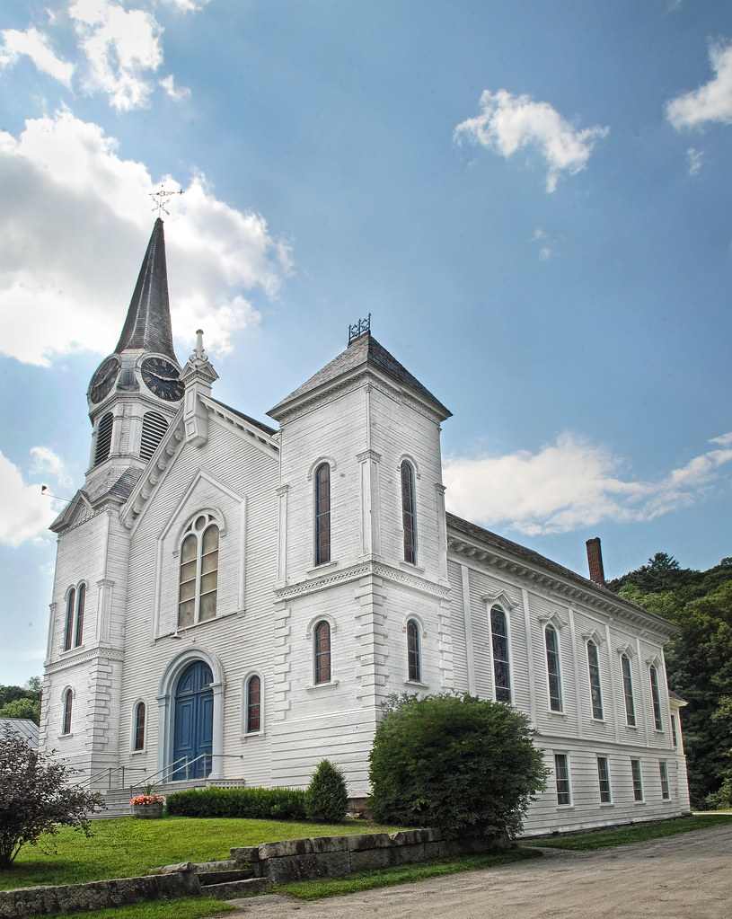
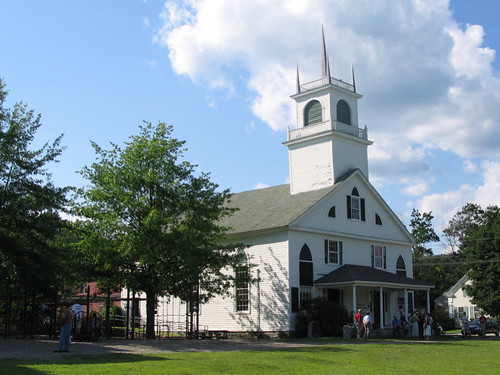
Congregational Church of Bradford, Vermont
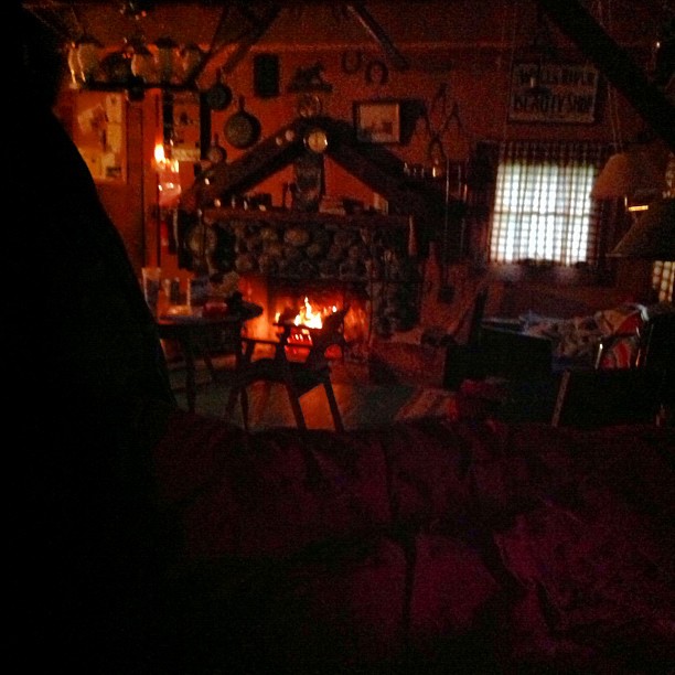
Good morning, Cabin! (View from the outhouse) #nofilter #cabinlove
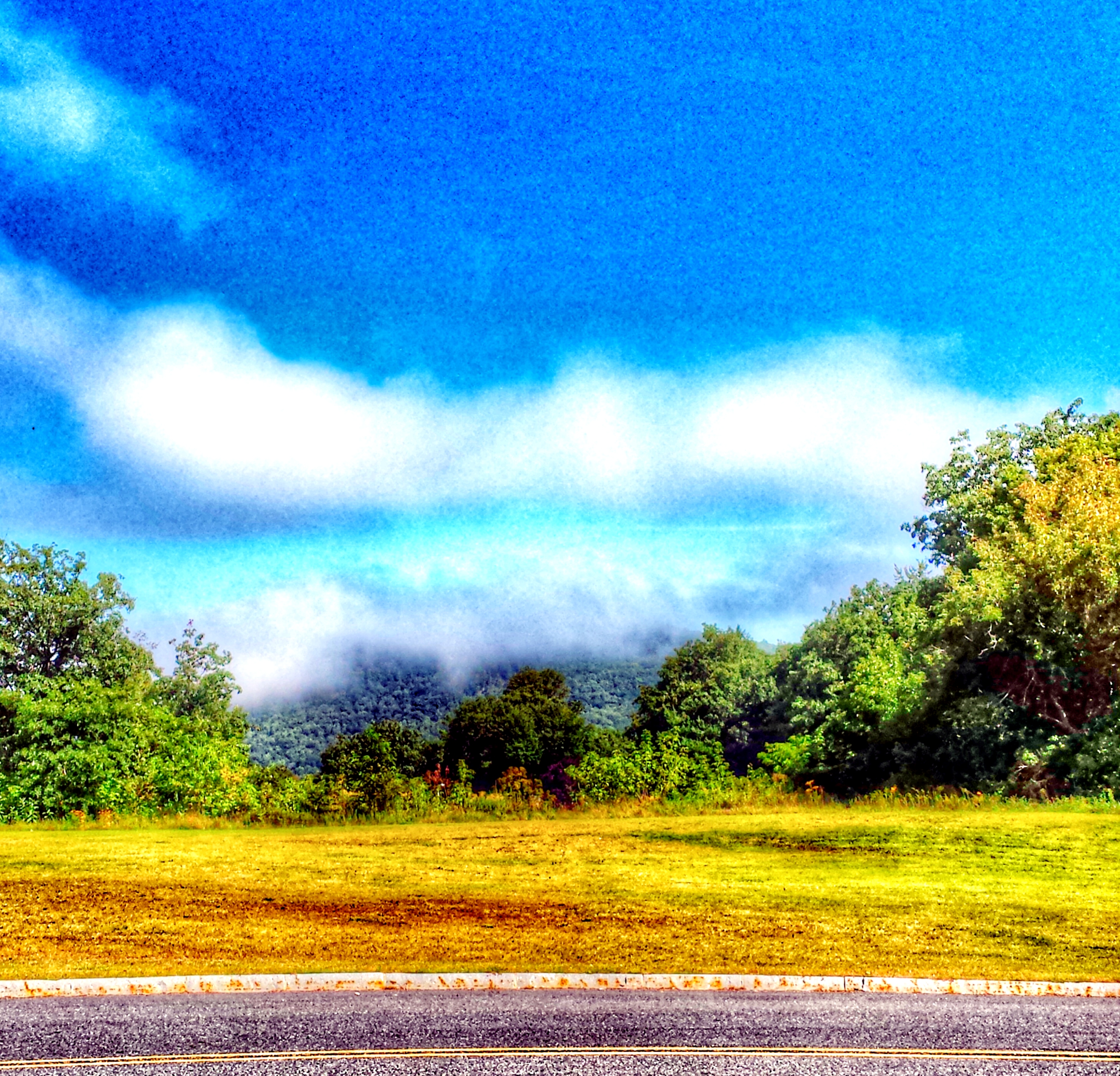
Sugarloaf Mountain through the mist
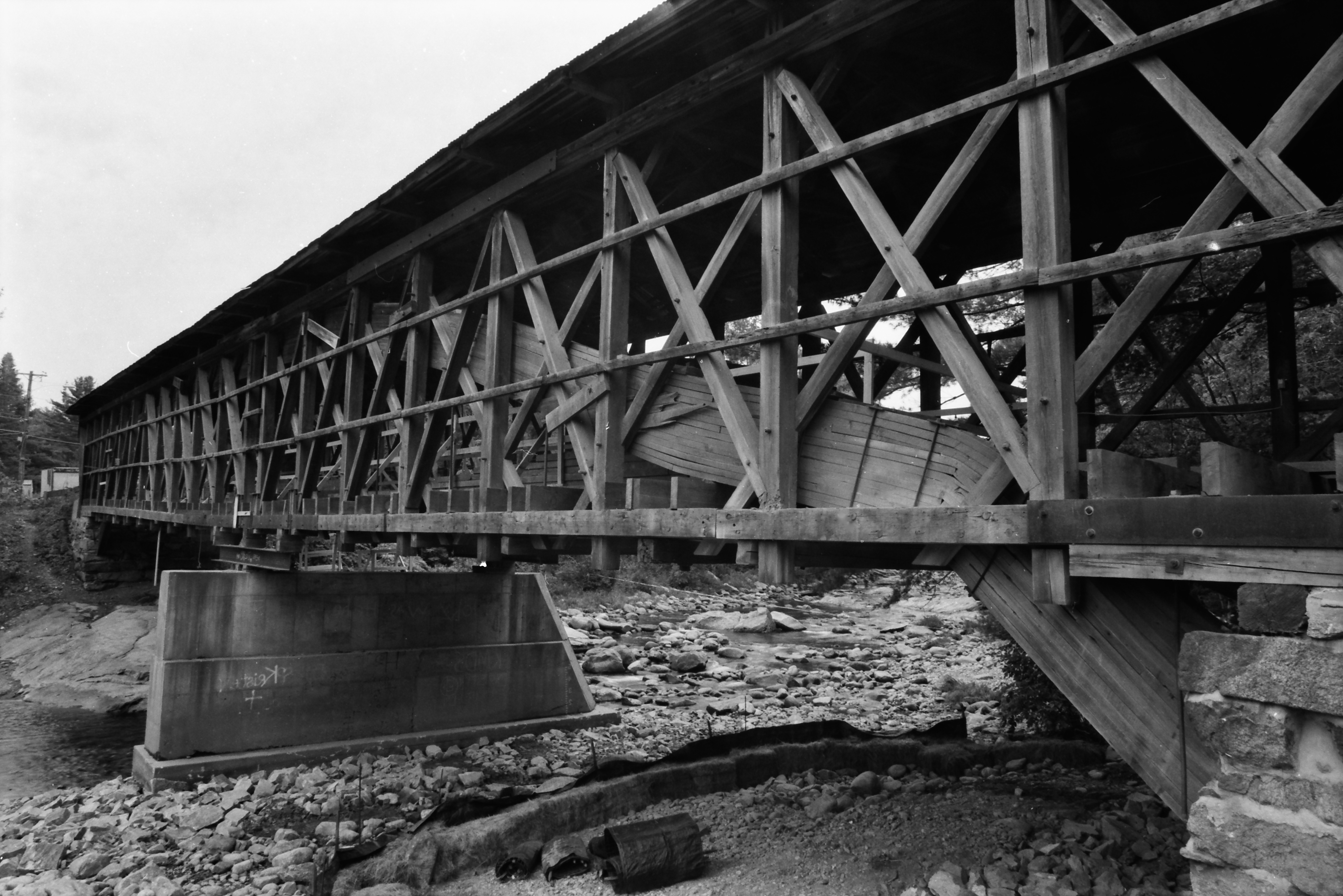
Broken Bridge

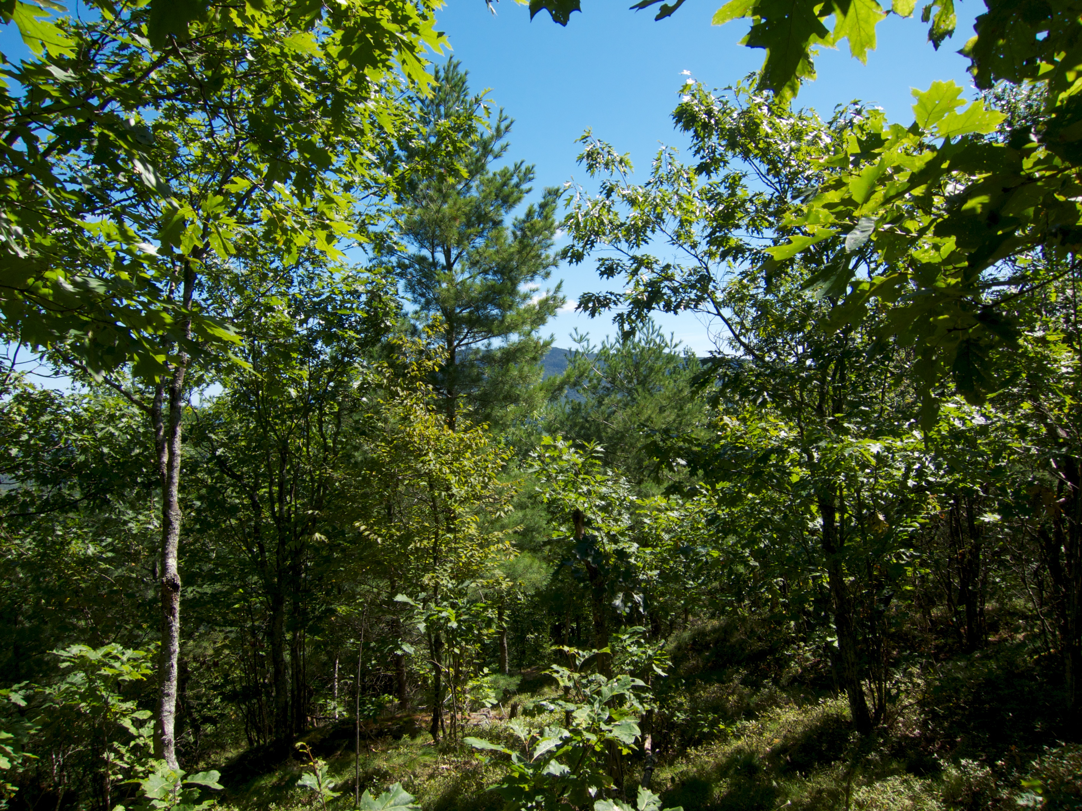
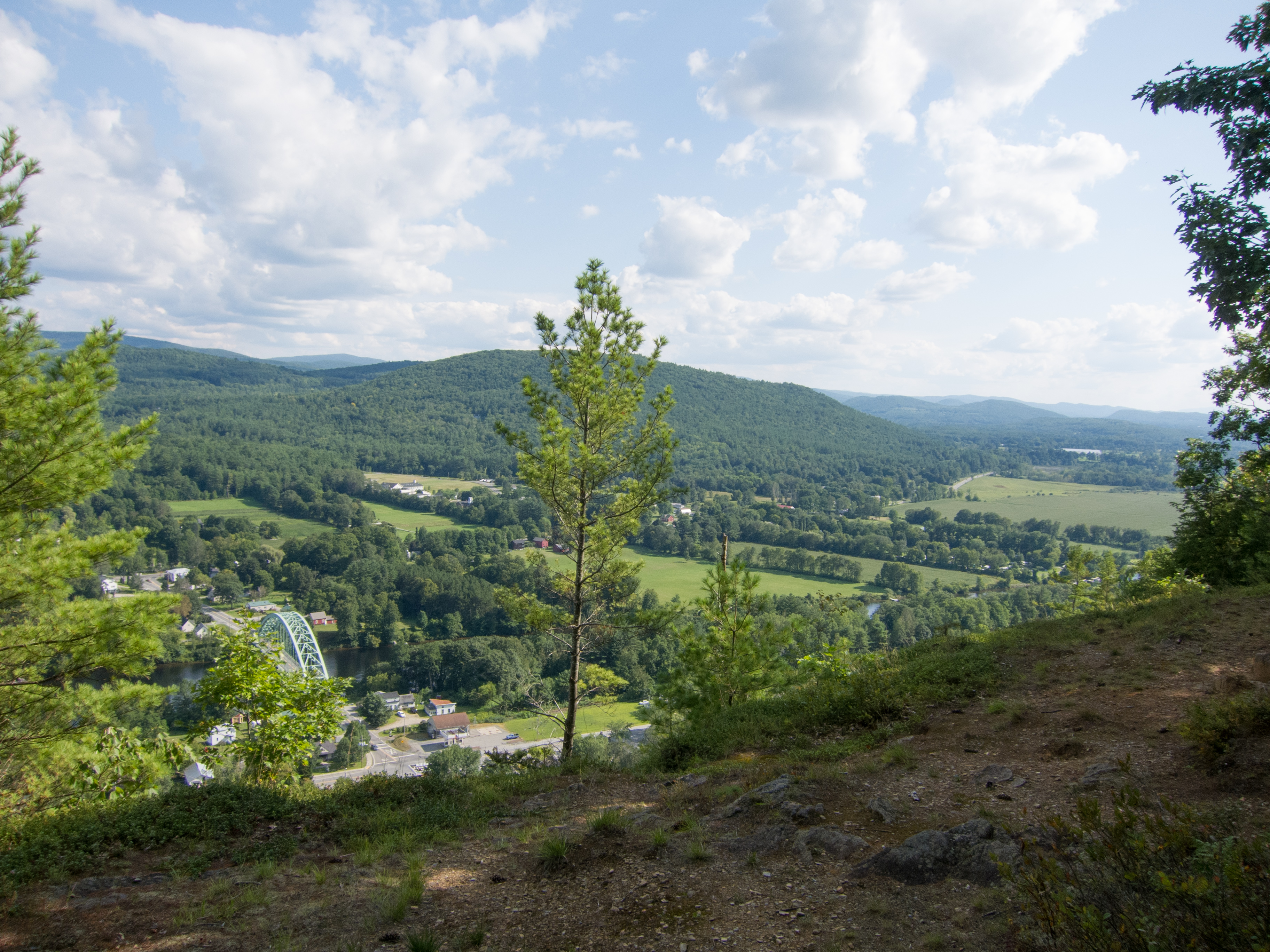
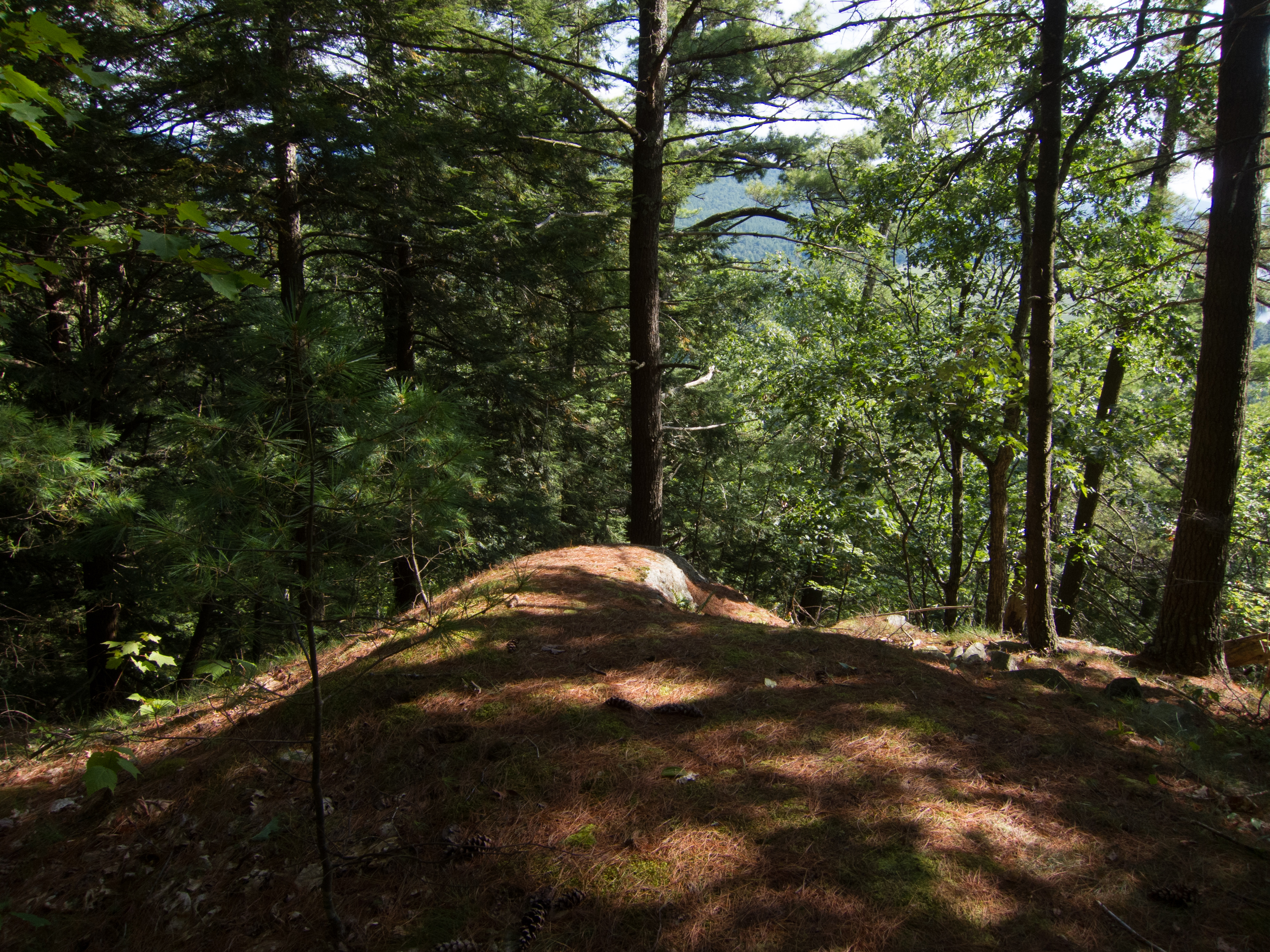
View From Black Mountain

View From Black Mountain
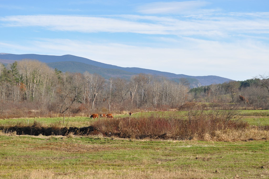
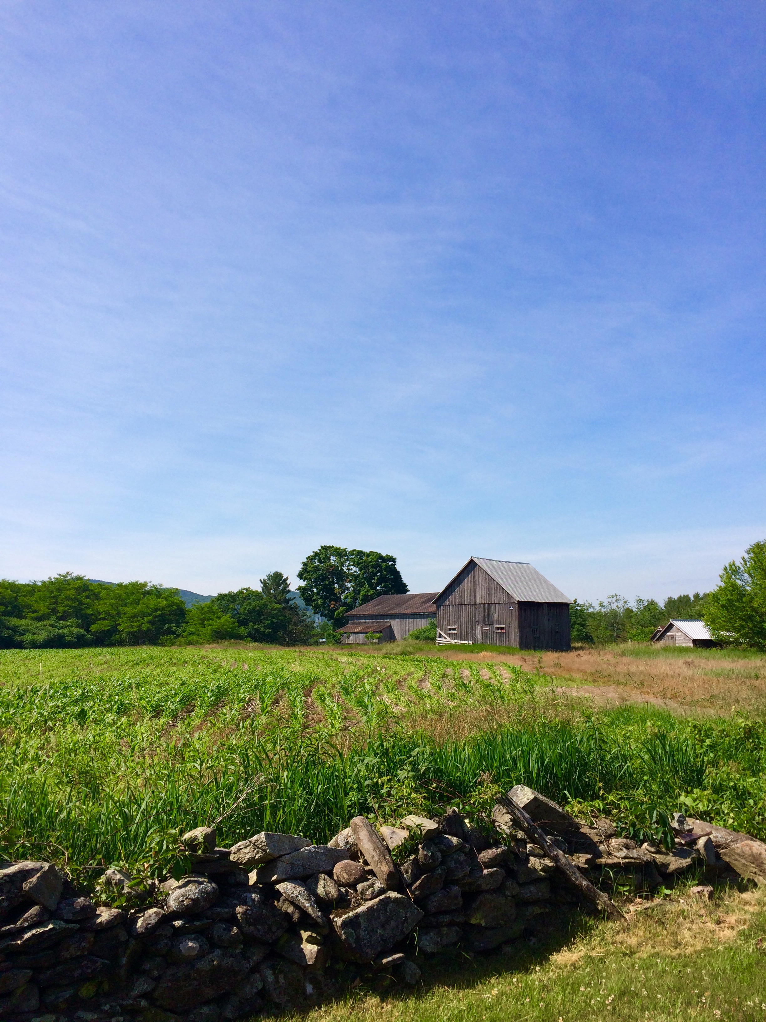
Cow Pasture and Mount Moosilauke
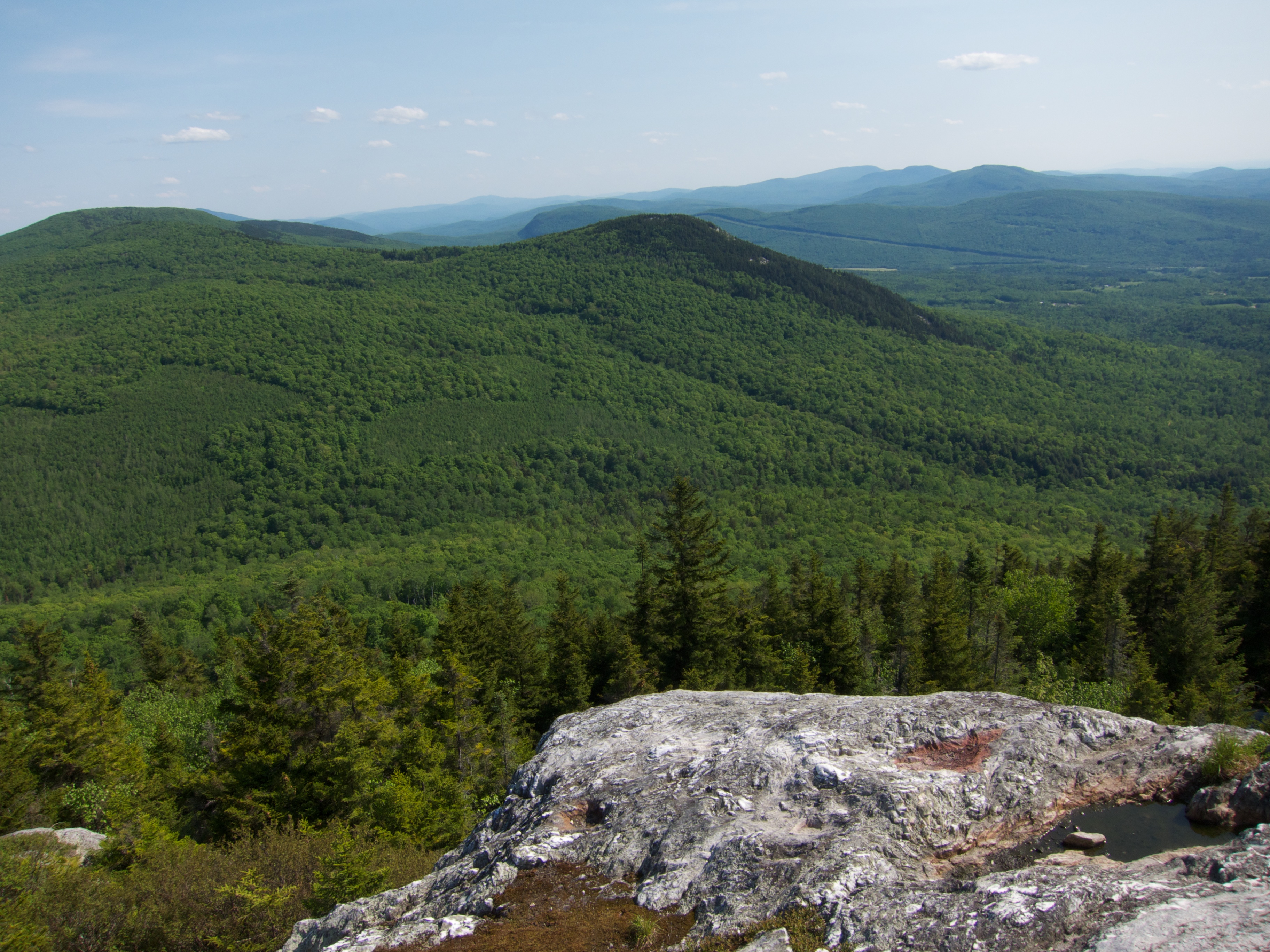
View From Black Mountain

View From Black Mountain
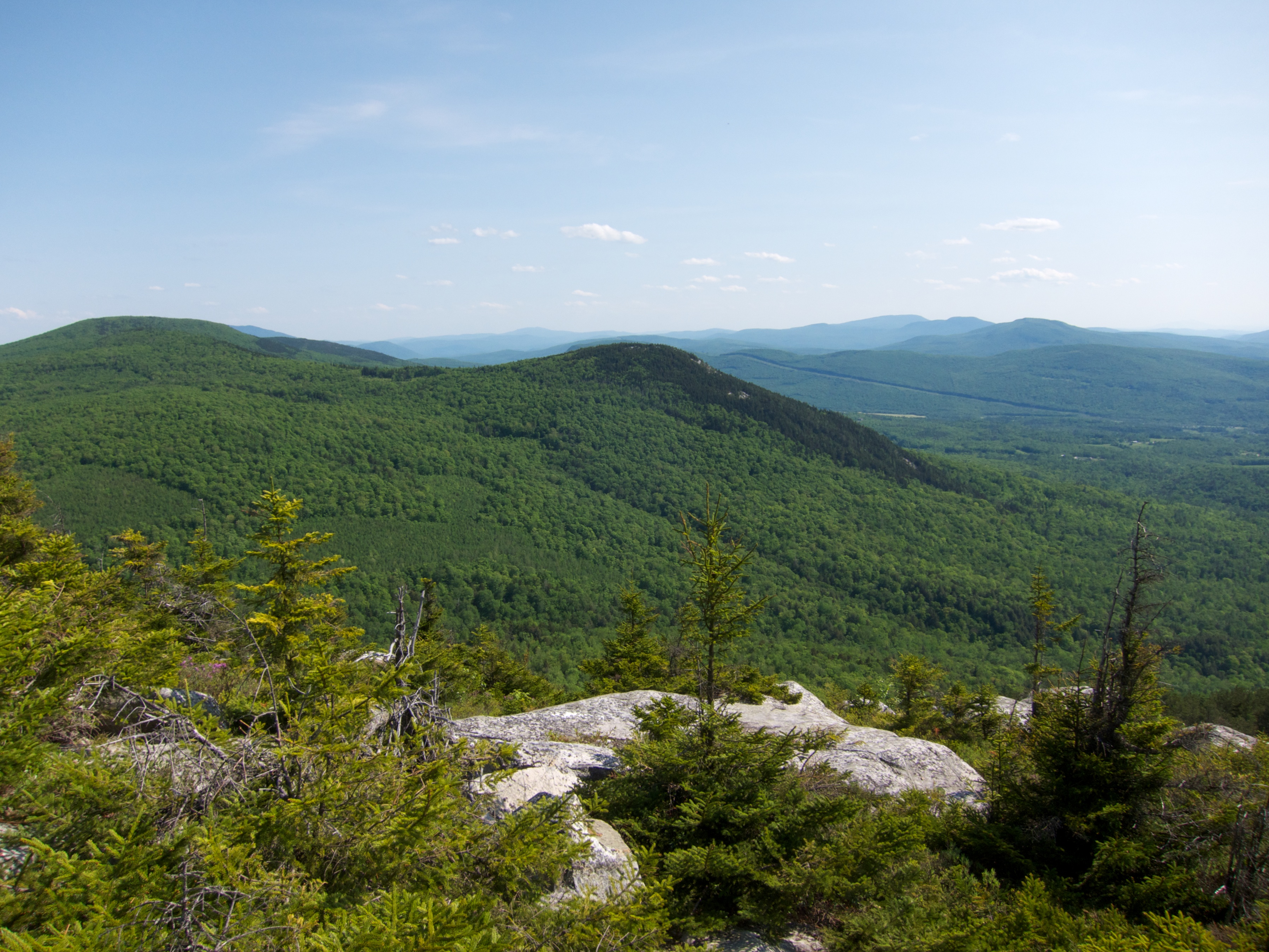
View From Black Mountain
View from the bed. Somehow waking up early just doesn't hurt so much at the Cabin.

View From Black Mountain
Sunday Mountain Summit View
From the Green

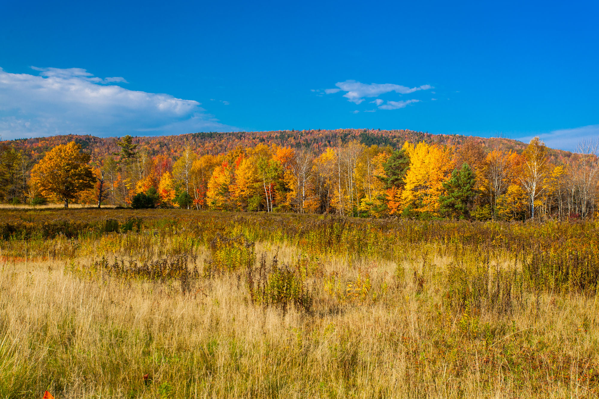
A Beautiful View
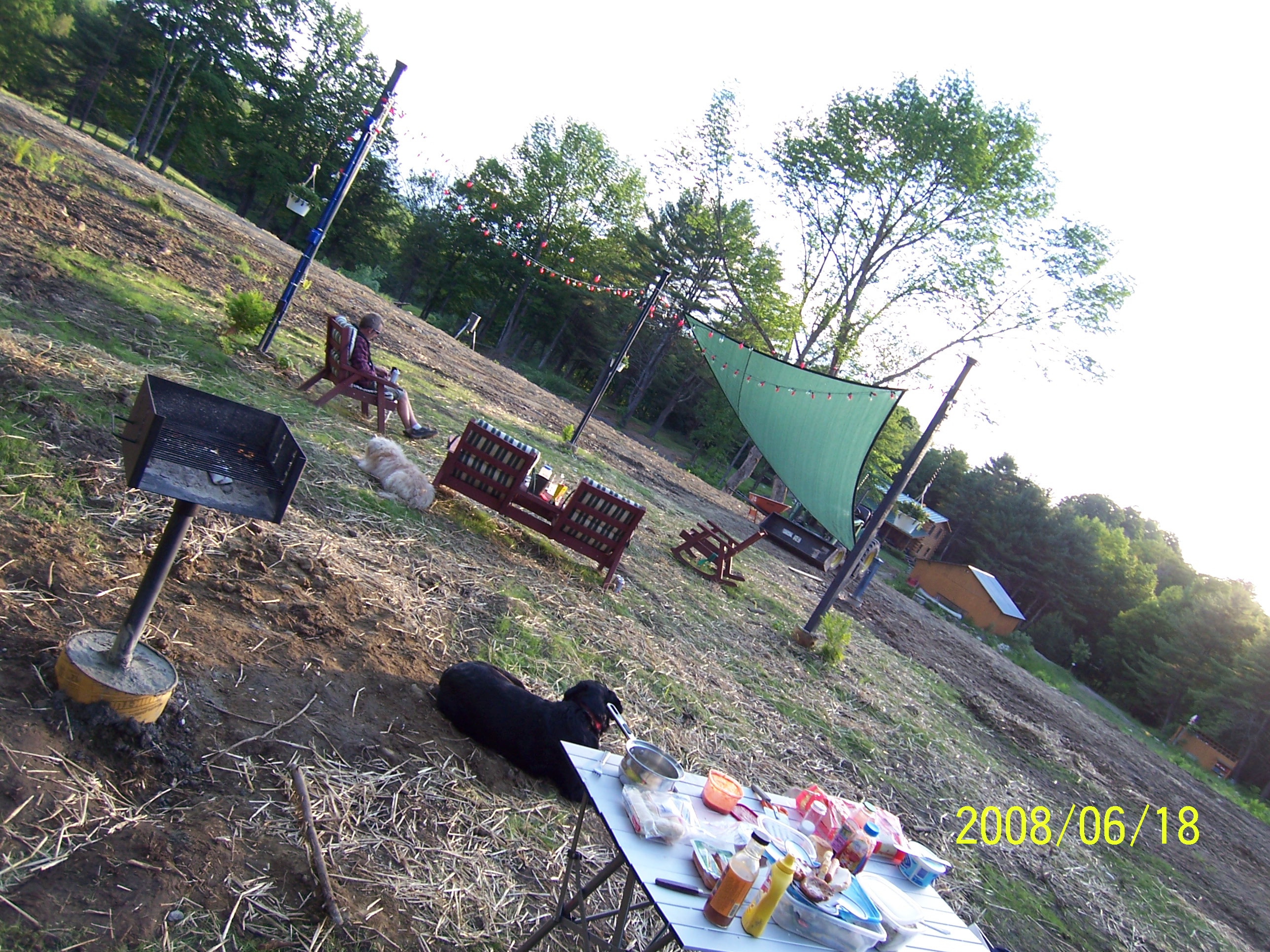
Back view of the sun sail
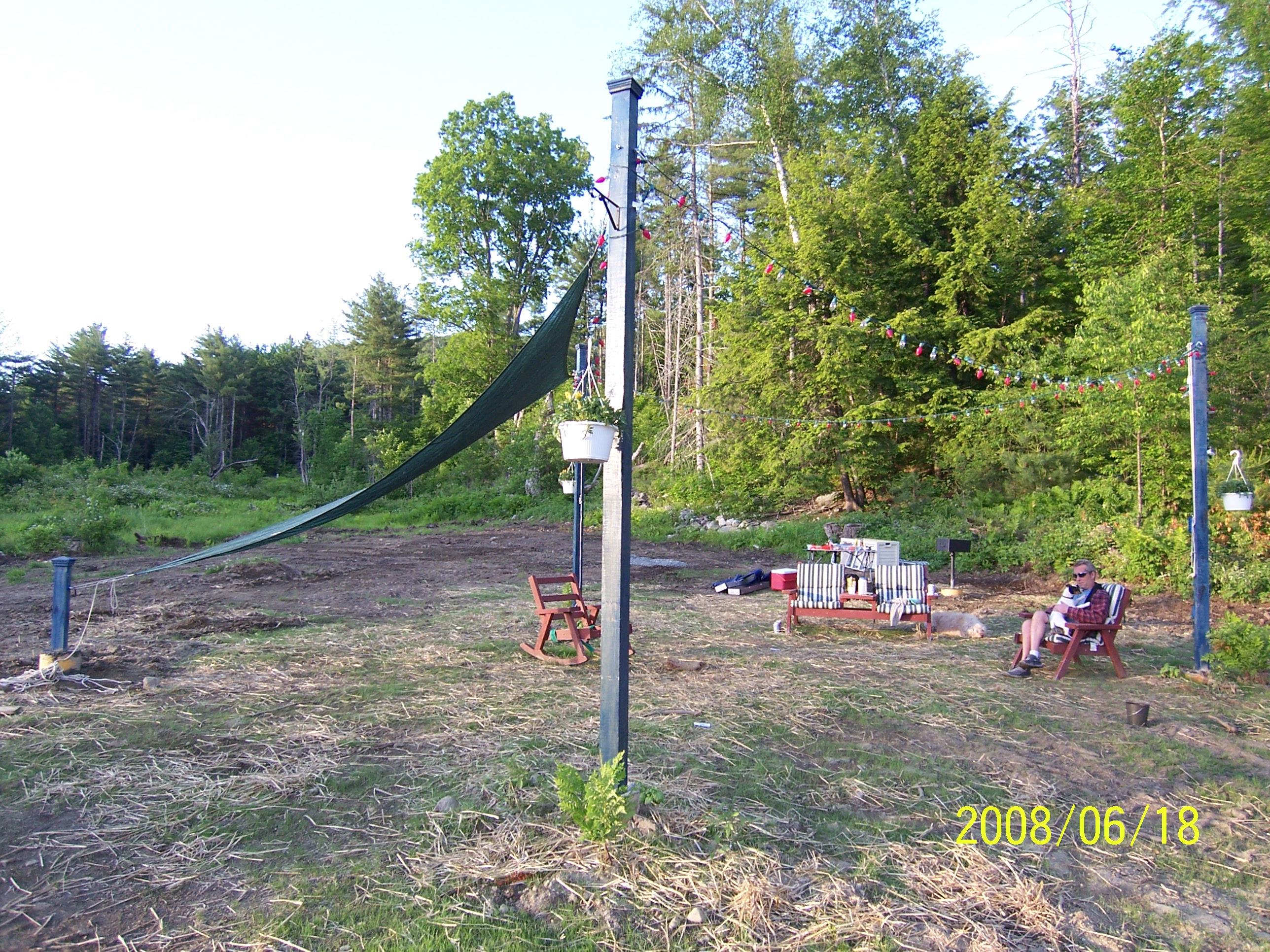
Side view
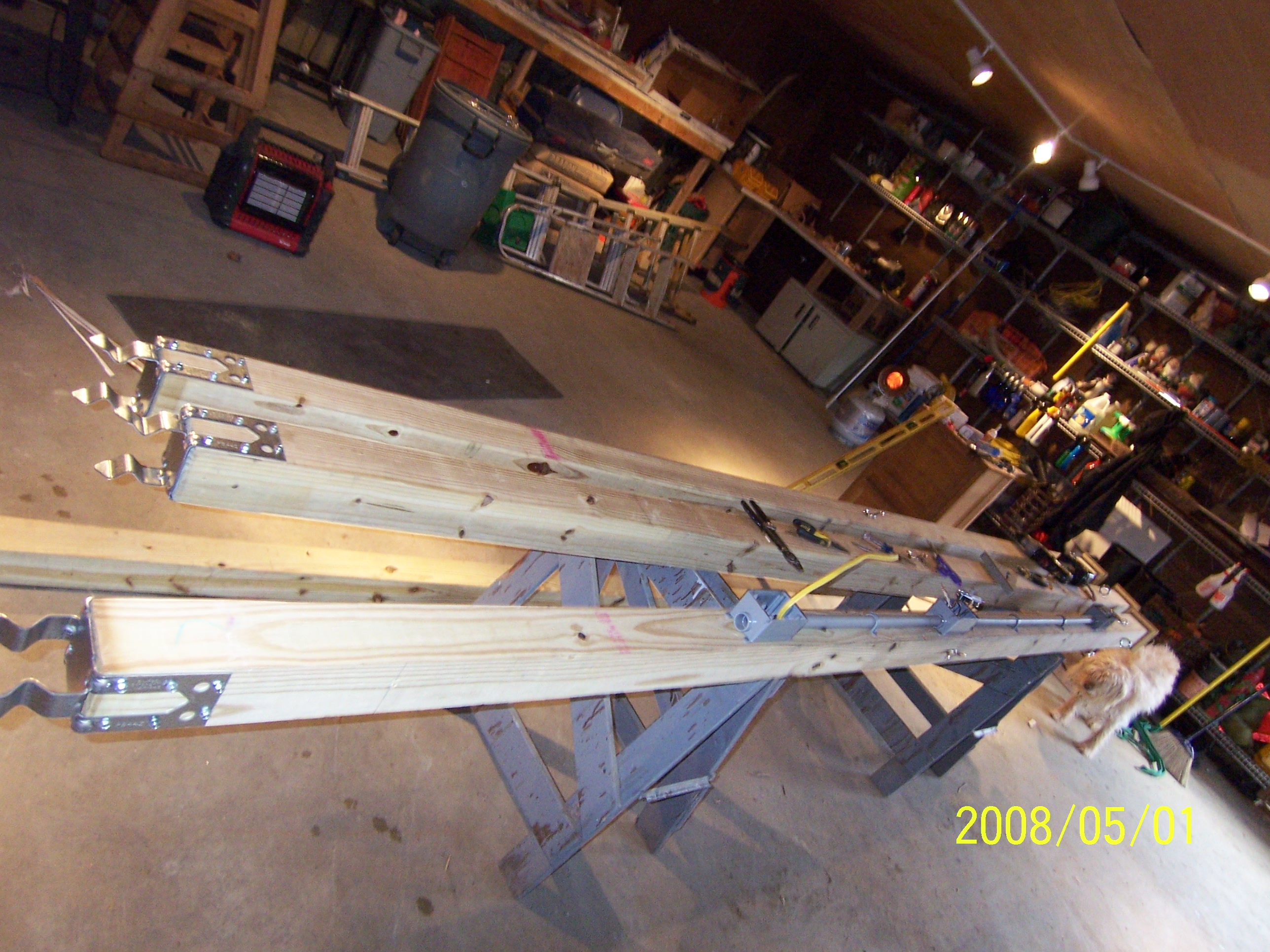
Poles for Sun Sail

91NB-Exit16-17

2011-TO SD03-View from bridge

Room with a view
"LOW CLOUDS" Vermont
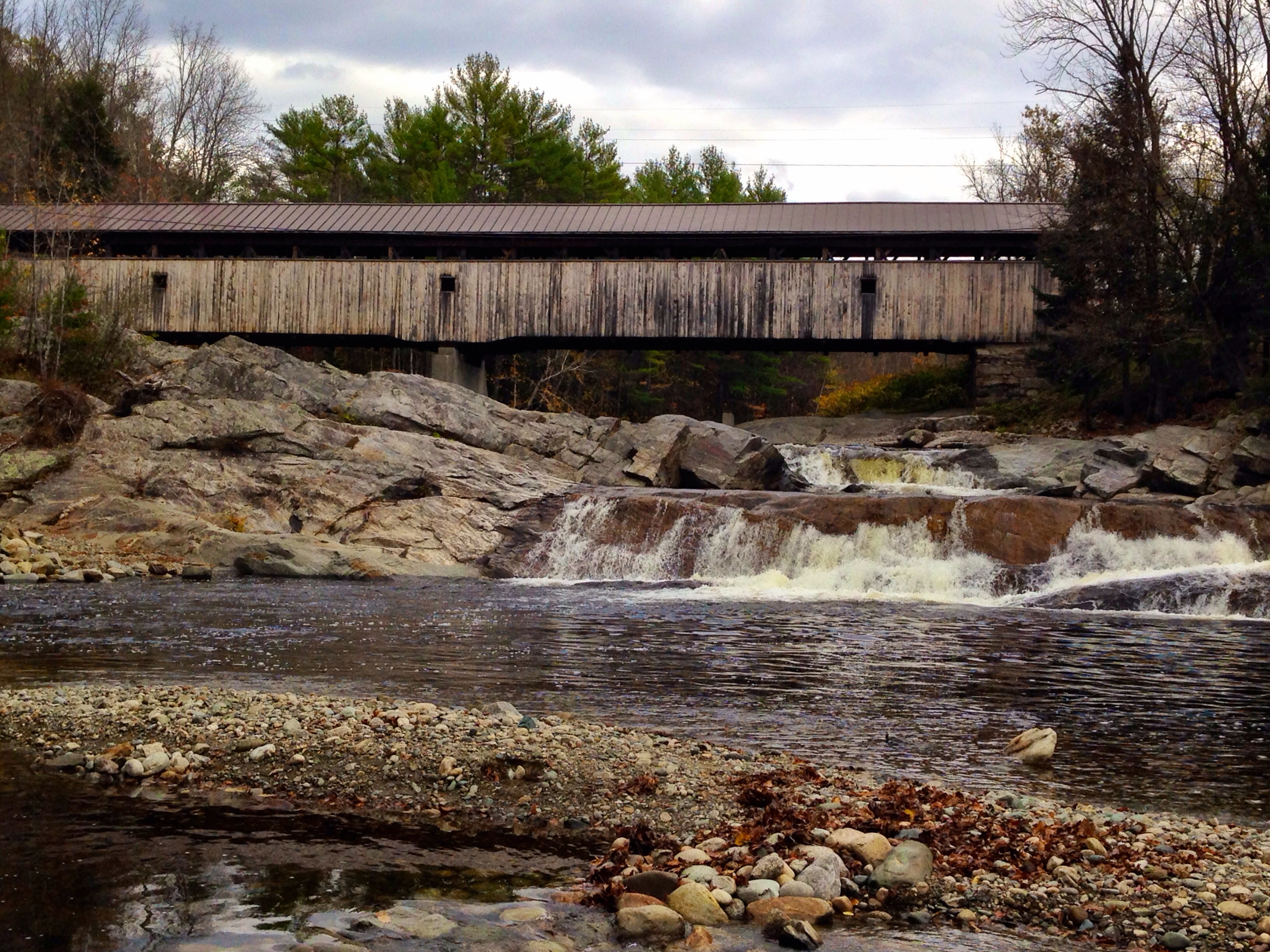
Covered Bridge

Cold starry night.

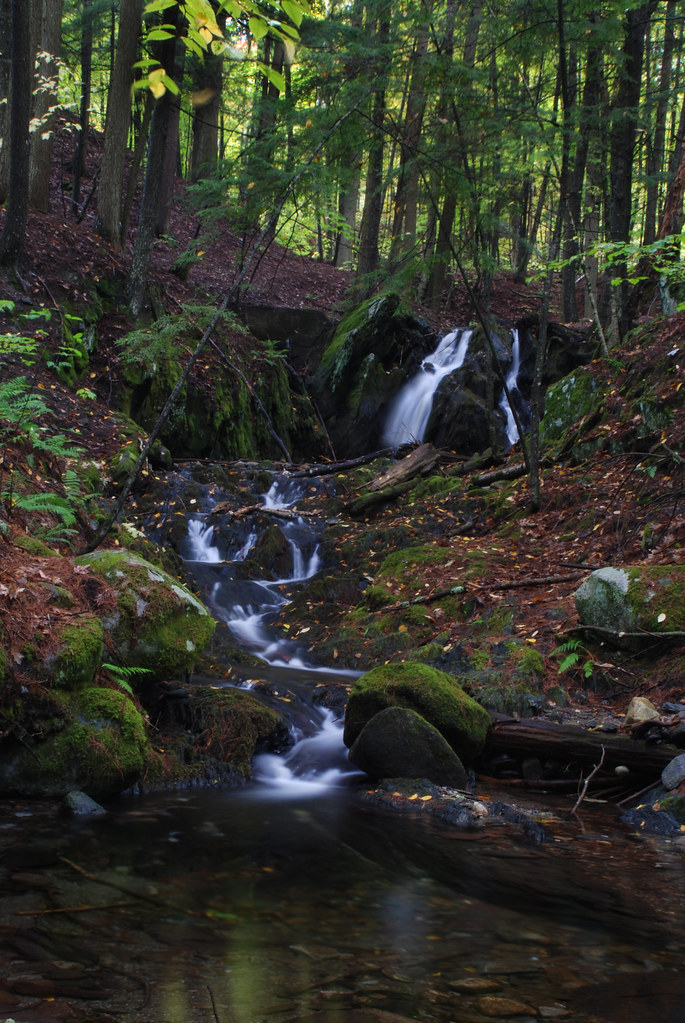
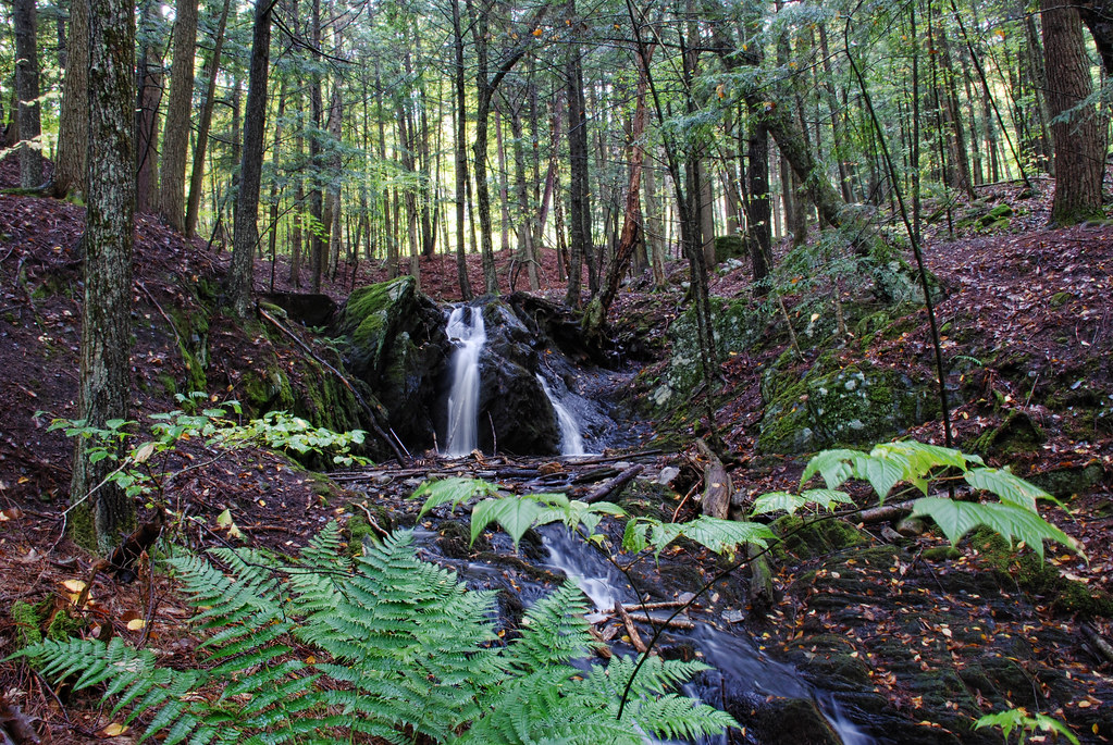
Glen Falls (VT)

While photographing a Nordic skating event...

Fairlee Palisades

Winter Sunset

Glen Falls, Fairlee, VT
2013-08-13-07h41m38 NHAT
Fairlee Palisades
Near Warren, NH

Lối Thu
Fairlee Palisades
next to the cemetery
Downstream from Glen Falls, VT 1
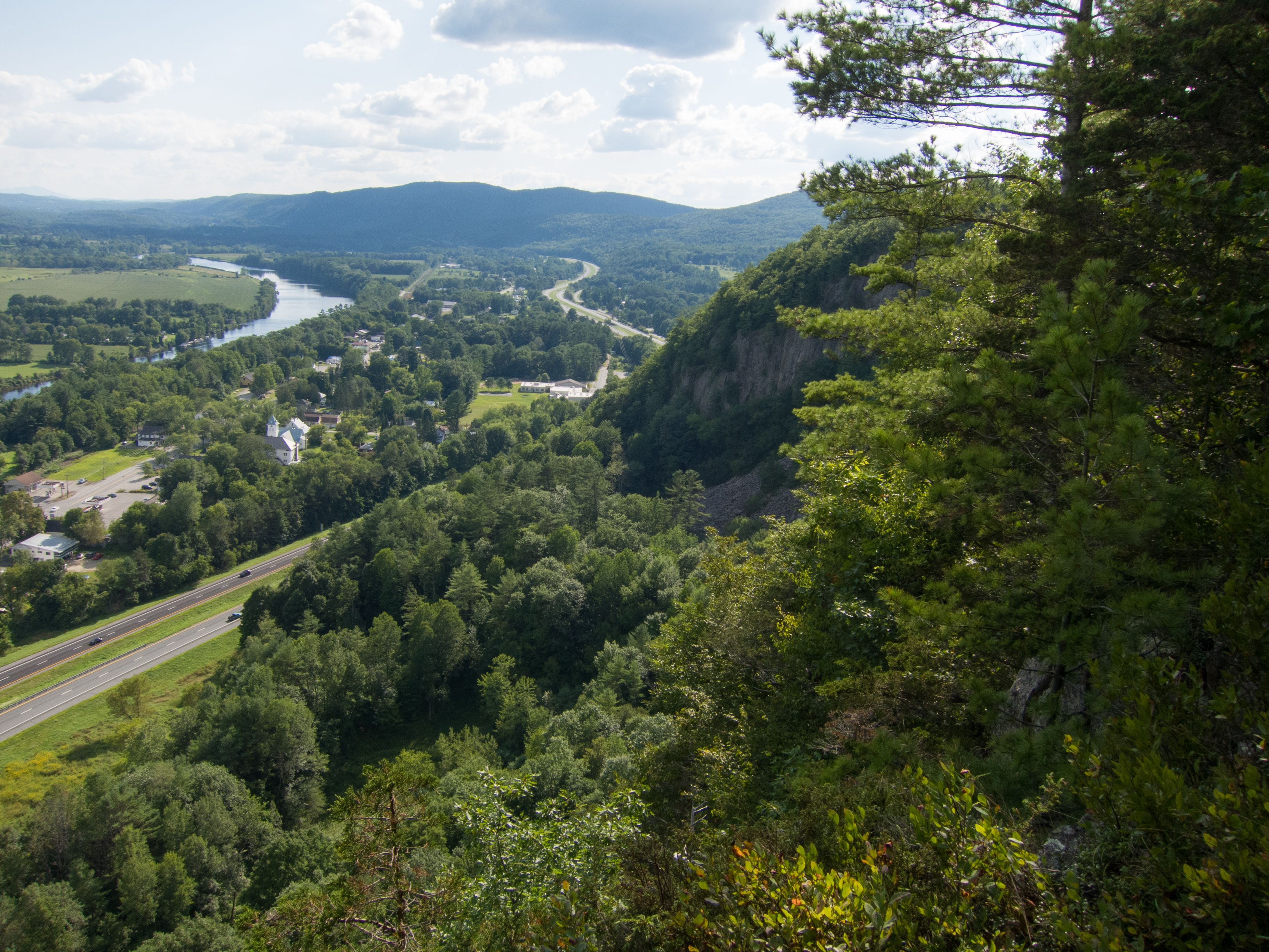
Fairlee Palisades
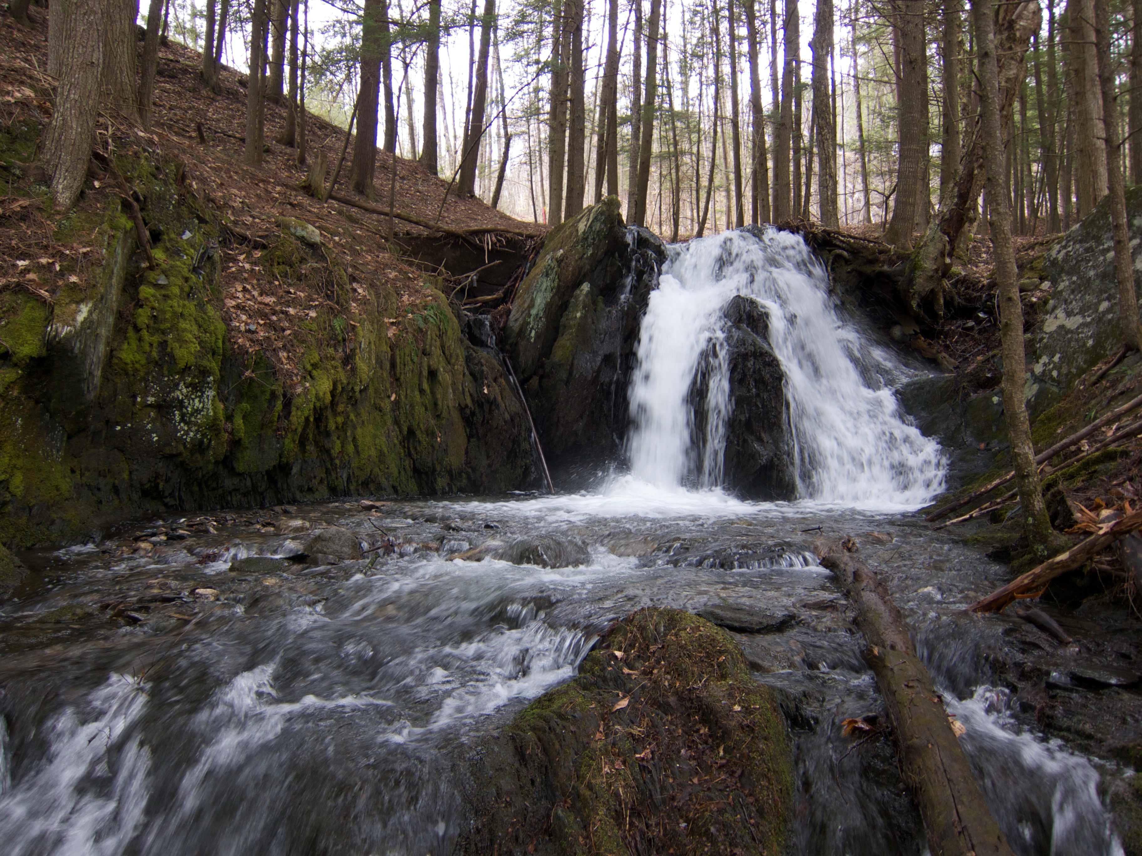
Upper Glen Falls
Fairlee Palisades
Downstream from Glen Falls, VT 2
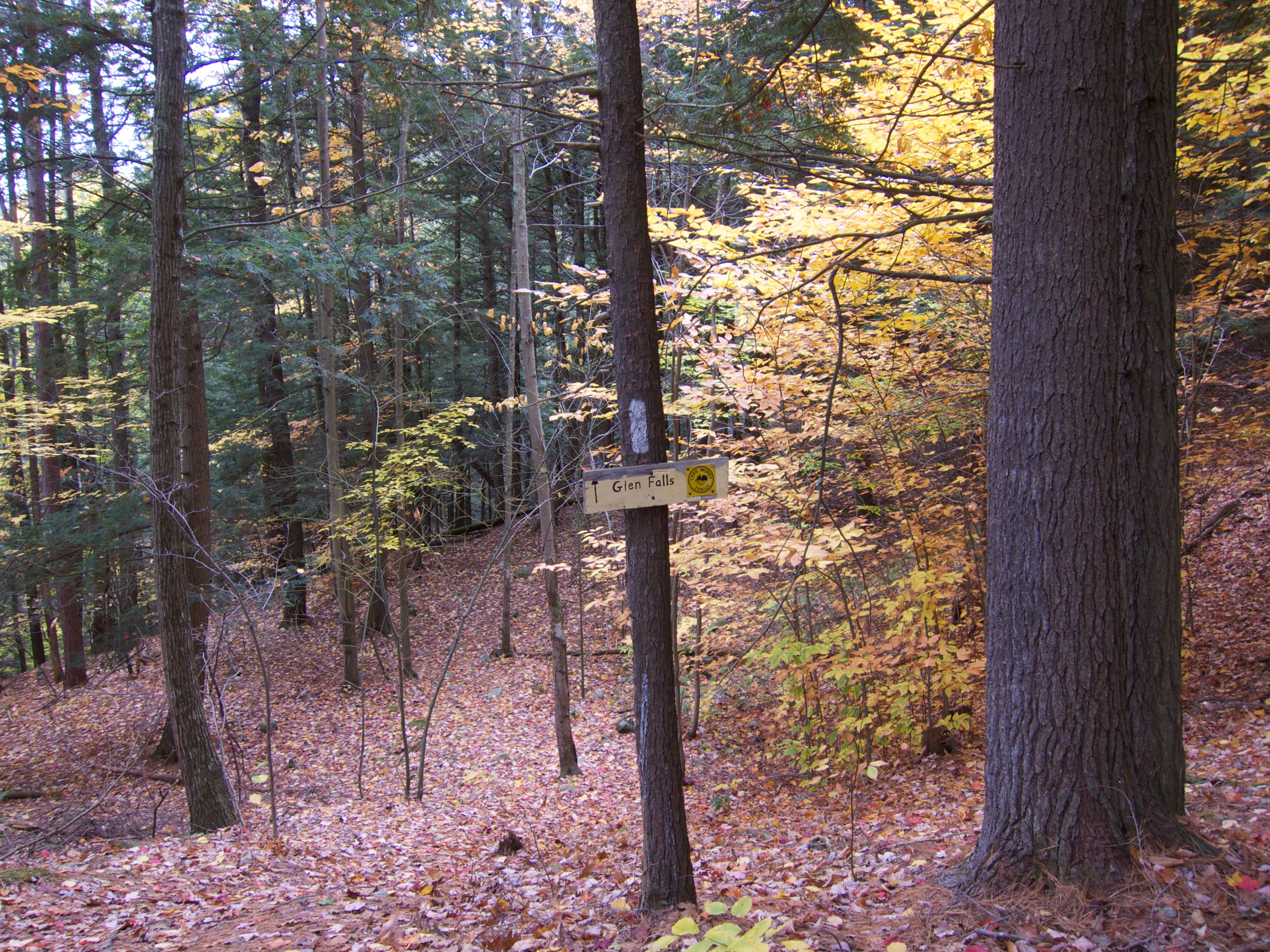
Glen Falls Cutoff
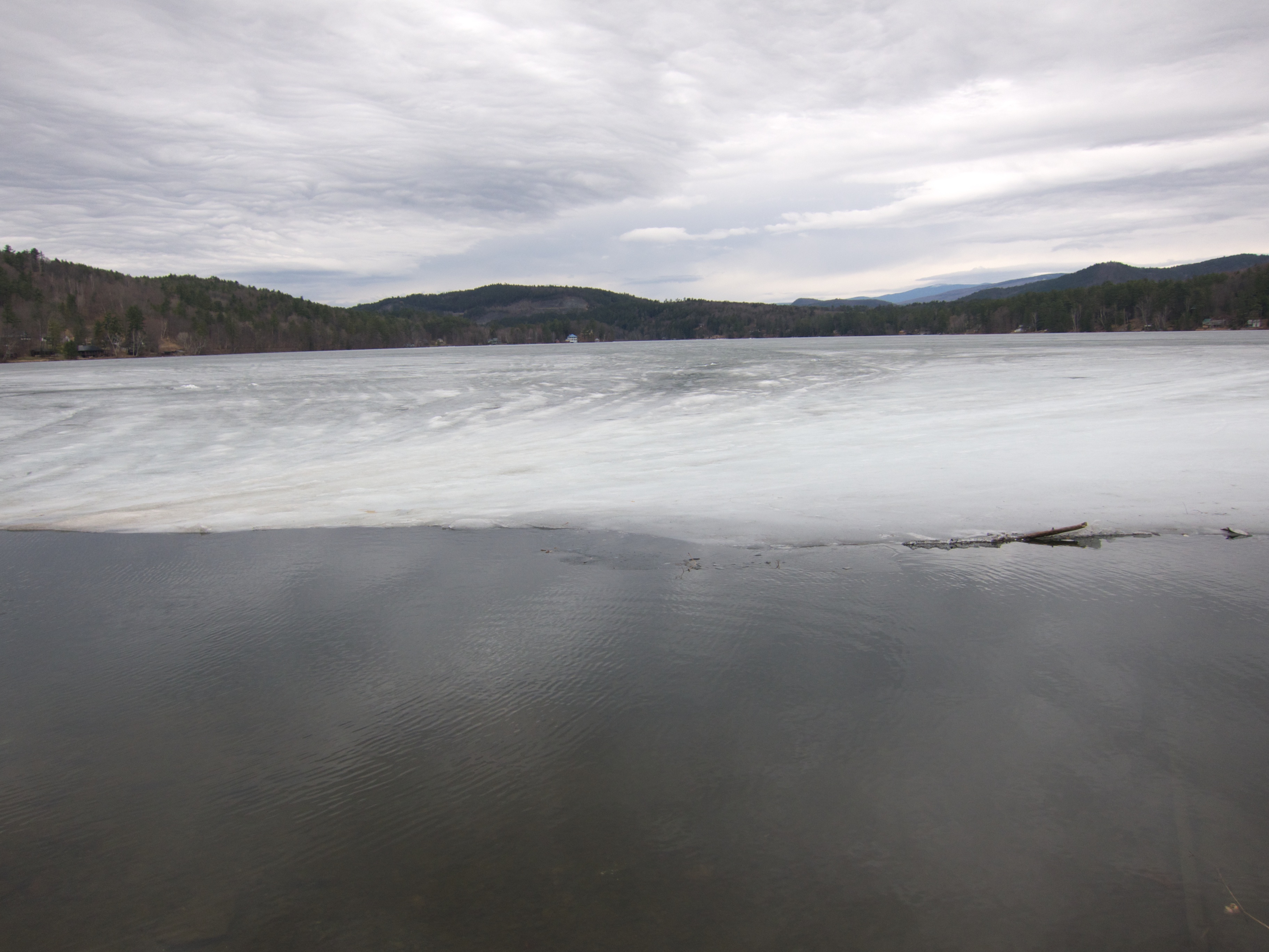
Ice on Lake Morey
Topographic Map of Lummoxville Road, Lummoxville Rd, Haverhill, NH, USA
Find elevation by address:

Places near Lummoxville Road, Lummoxville Rd, Haverhill, NH, USA:
1041 Court St
341 Dartmouth College Hwy
Haverhill
1260 Dartmouth College Hwy
30 Knapp Rd
North Haverhill
Piermont
Blue Spruce Drive
Fairground Road
36 Oxbow Dr
Moore Lane
Moore Lane
1163 Fairground Rd
Benton Rd, North Haverhill, NH, USA
1815 Fairground Rd
Snake Rd, Newbury, VT, USA
Main Street
Bradford
Goshen Road
Wallace Hill Road
Recent Searches:
- Elevation of Corso Fratelli Cairoli, 35, Macerata MC, Italy
- Elevation of Tallevast Rd, Sarasota, FL, USA
- Elevation of 4th St E, Sonoma, CA, USA
- Elevation of Black Hollow Rd, Pennsdale, PA, USA
- Elevation of Oakland Ave, Williamsport, PA, USA
- Elevation of Pedrógão Grande, Portugal
- Elevation of Klee Dr, Martinsburg, WV, USA
- Elevation of Via Roma, Pieranica CR, Italy
- Elevation of Tavkvetili Mountain, Georgia
- Elevation of Hartfords Bluff Cir, Mt Pleasant, SC, USA