Elevation of Moore Lane, Moore Ln, Bradford, VT, USA

Location: United States > Vermont > Orange County > Bradford >

Longitude: -72.118134

Latitude: 44.0232011

Elevation: 279m / 915feet

Barometric Pressure: 98KPa

Elevation Map:

elevation map of Moore Lane, Moore Ln, Bradford, VT, USA

Satellite Map:

Satellite map of Moore Lane, Moore Ln, Bradford, VT, USA

Related Photos:

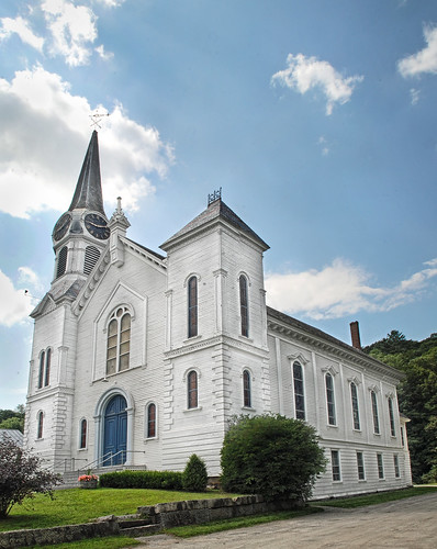
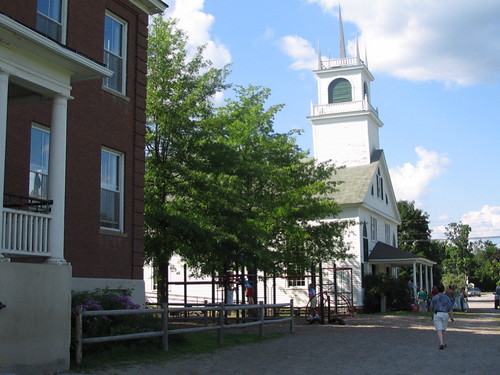
church mainstreet vermont bradford orangecounty vt congregationalchurch bradfordvermont vermontdreams
Congregational Church of Bradford, Vermont
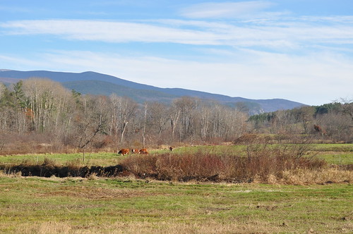
sky mountains field rural woods view scenic newengland newhampshire nh farmland foliage pasture fields haverhill mountmoosilaukee
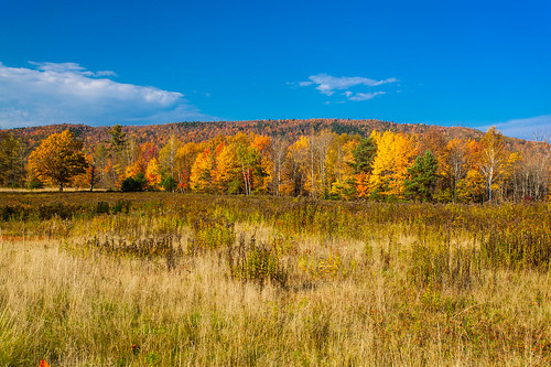
Cow Pasture and Mount Moosilauke
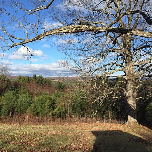
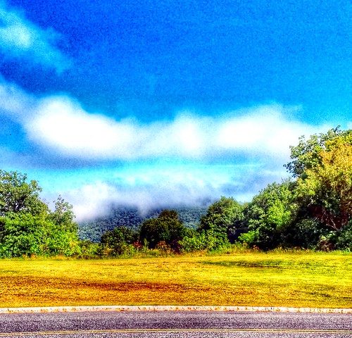
square squareformat iphoneography instagramapp uploaded:by=instagram
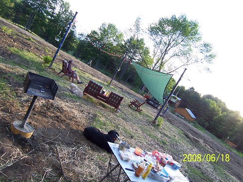
Good morning, Cabin! (View from the outhouse) #nofilter #cabinlove
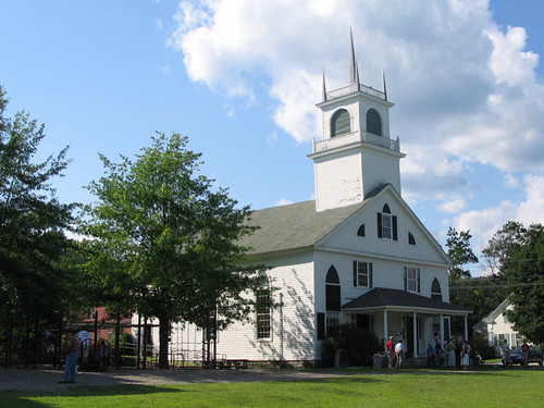
newbury vermont shapenotemusic connexionalldaysinging ingallsbicentenial 05051
From the Green
2010neslc
A Beautiful View
whatsnews
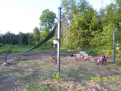
Back view of the sun sail
whatsnews
Side view
91NB-Exit16-17
roadtrip2011
2011-TO SD03-View from bridge
hiking newhampshire orford sundaymountain crossrivendelltrail
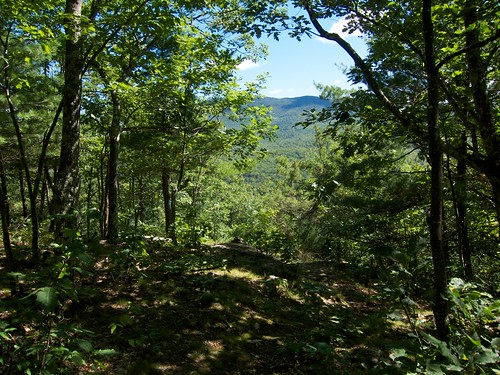
Sunday Mountain Summit View
newbury vermont shapenotemusic connexionalldaysinging ingallsbicentenial 05051
Another View of the Church
2018 canon canon5dmarkiv canonef2470mmf28liiusm davetrono newengland barn blue bluehour church fence field geotagged green hill iconic landscape rural shed steeple summer trees village eastcorinth vermont unitedstates us tree
Evening at East Corinth, Vermont
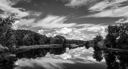
ammonoosucriver bathhaverhillcoveredbridge landscape reflection sky clouds cloudporn skyporn nature waterscape water river blackandwhite monochrome bw nikon d610 2018g woodsville newhampshire nh unitedstatesofamerica usa bathhaverhill fav10 fav25 fav50
Ammonoosuc River
2016 beetlejuice canon canon6d canonef2470mmf28liiusm corinth davetrono eastcorinth newengland vt vermont villageroad autumn church fall fallcolors fallfoliage foliage geotagged landscape trees
East Corinth, Vermont
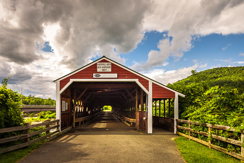
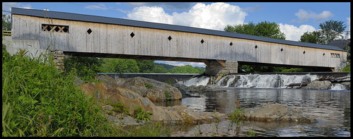
haverhillbathcoveredbridge haverhillbath coveredbridge historic history ammonoosucriver woodsville bath newhampshire nh unitedstatesofamerica usa historicplace old landscape light nikon d610 2018g haverhill fav10 fav25
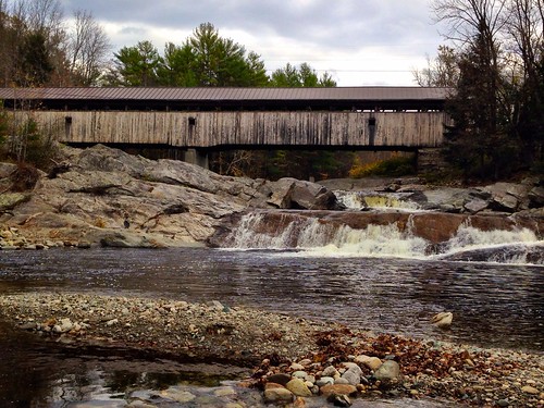
Haverhill-Bath Covered Bridge
newhampshire places bath covered bridge bathhaverhill ammonoosuc river
Bath-Haverhill Covered Bridge
"LOW CLOUDS" Vermont
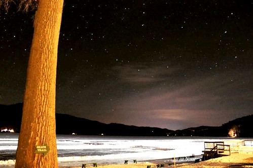
winter sky cold nature night dark stars landscape vermont weatherphotography
Cold starry night.
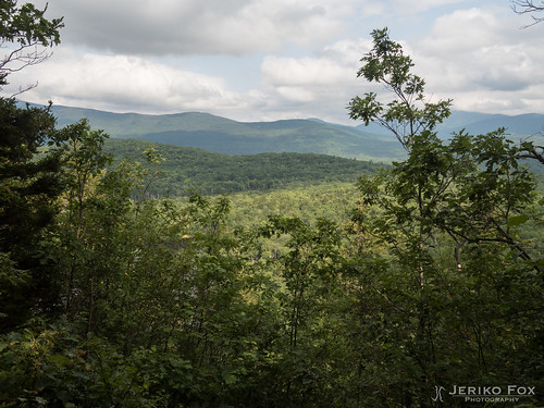
appalachiantrail newhampshire usa warren unitedstates us
JFRM-2017-08-0170.jpg
Near Warren, NH
woodsville
Covered Bridge
blue sky cloud green grass yellow fence spring day post meadow dandelion projectweathersubmission pwpartlycloudy
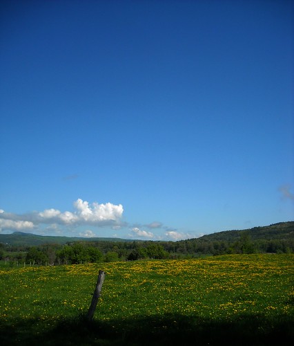
dandelion meadow
uploaded:by=flickstagram instagram:venuename=lakemoreyresort instagram:venue=3403992 instagram:photo=6371044017088161466218140
While photographing a Nordic skating event...
waterfall vermont falls glen waterfalls orangecounty vt fairlee glenfalls fairleevt vermontdreams
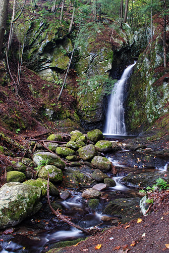
Glen Falls, Fairlee, VT
sunset canon eos60d
Sunset in Orford, NH
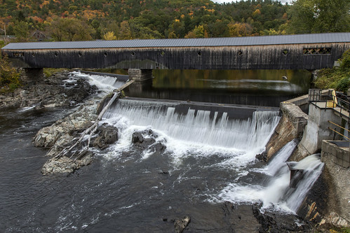
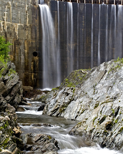
water electric waterfall vermont bradford dam hydro
Bradford Dam
bridge newhampshire coveredbridge ammonoosucriver nationalregister nationalregisterofhistoricplaces us302 woodsville graftoncounty haverhillbathcoveredbrige
Haverhill- Bath Covered Bridge- Woodsville NH (3)
bridge usa water landscape geotagged wooden nikon bath newhampshire nh covered coveredbridge 2009 haverhill d80
Bath-Haverhill covered Bridge
us vermont unitedstates hiking palisades fairlee
Fairlee Palisades
square squareformat iphoneography instagramapp uploaded:by=instagram
Oh, wait! I think it's getting prettier! #ilovethecabin
sign vermont hiking fairlee crossrivendelltrail baldtopmountain
Glen Falls Cutoff
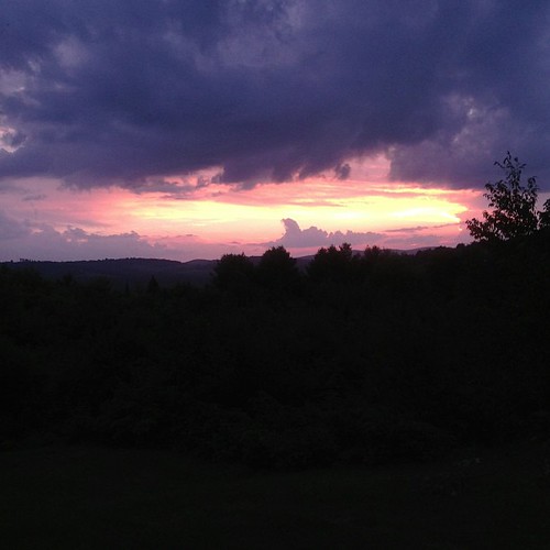
square squareformat iphoneography instagramapp uploaded:by=instagram foursquare:venue=4e865f93be7ba3282fe720fc
Sunset tonight made the sky look like it was on fire!