Elevation of Piermont, NH, USA
Location: United States > New Hampshire > Grafton County >
Longitude: -72.080644
Latitude: 43.9697892
Elevation: 161m / 528feet
Barometric Pressure: 99KPa
Elevation Map:
Satellite Map:
Related Photos:

An Old New England Farm in Vermont - 1985

1772 Headstone - Oxbow Cemetery, Vermont, 1985
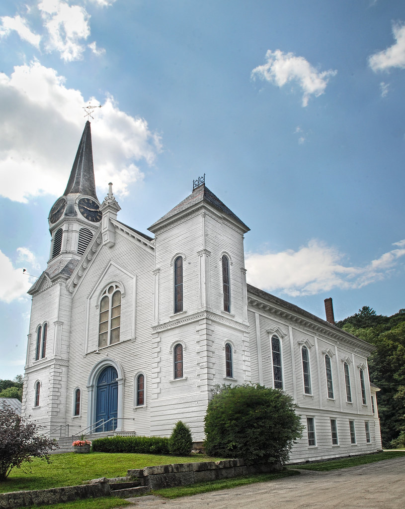
Congregational Church of Bradford, Vermont

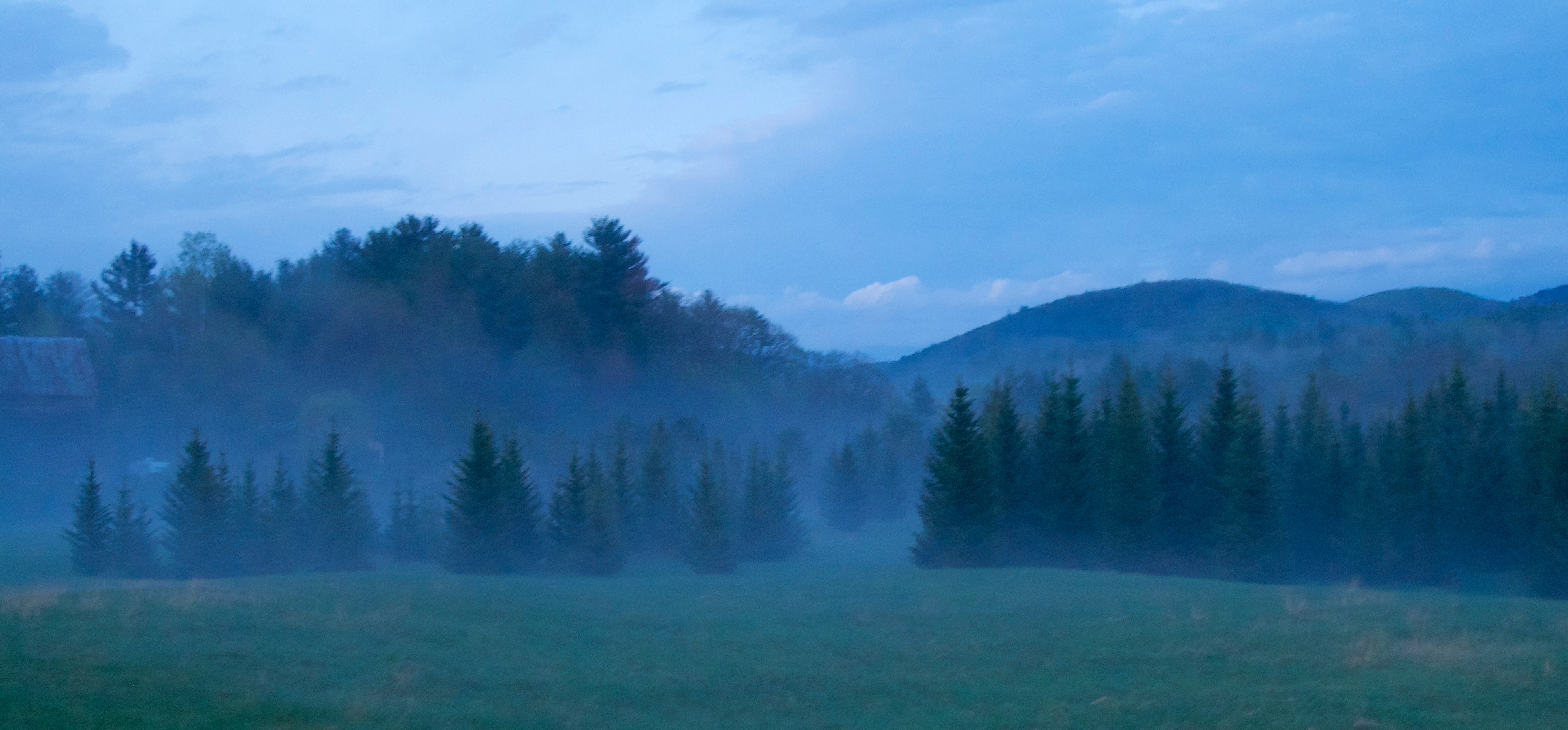
Sugarloaf Mountain through the mist

Cow Pasture and Mount Moosilauke

91NB-Exit16-17

Appalachian Trail 2013

Pancakes and a view.

Best breakfast view.

Another View of the Church

Pancakes and a view.

From the Green

View from the bed. Somehow waking up early just doesn't hurt so much at the Cabin.

A Beautiful View

Sunday Mountain Summit View

Sunday Mountain Summit View

Back view of the sun sail

Side view
Good morning, Cabin! (View from the outhouse) #nofilter #cabinlove

Room with a view

Poles for Sun Sail

Winter Sunset

East Corinth, Vermont

Cold starry night.

Milky Way over Vermont Village

Evening at East Corinth, Vermont

next to the cemetery

Glen Falls, Fairlee, VT
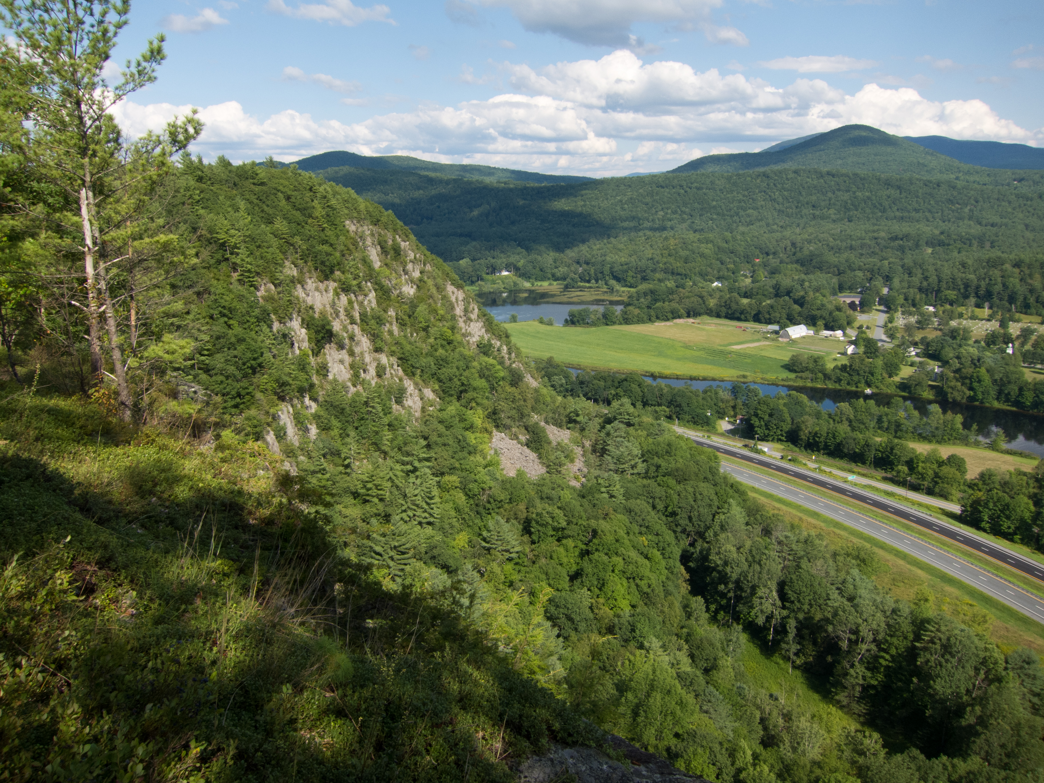
Fairlee Palisades

Glen Falls (VT)

Downstream from Glen Falls, VT 1

Downstream from Glen Falls, VT 2

Deep in the Cut

Wright’s Mountain
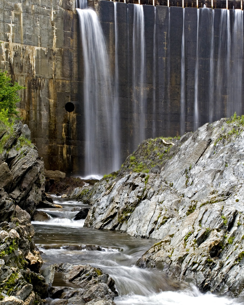
Bradford Dam

Spring or Autumn?

Reflections on the Connecticut River

dandelion meadow
Orford, NH

Orford, NH

Muddy Roadbed

Finish Line
Topographic Map of Piermont, NH, USA
Find elevation by address:

Places near Piermont, NH, USA:
36 Oxbow Dr
Main Street
Blue Spruce Drive
Bradford
1163 Fairground Rd
Fairground Road
Moore Lane
Moore Lane
1815 Fairground Rd
Goshen Road
447 Cross Rd
596 Tarbox Rd
598 Tarbox Rd
Snake Rd, Newbury, VT, USA
2175 S Rd
Wrights Mountain Trail
110 Wrights Mountain Rd
200 Wrights Mountain Rd
220 Wrights Mountain Rd
250 Wrights Mountain Rd
Recent Searches:
- Elevation of Corso Fratelli Cairoli, 35, Macerata MC, Italy
- Elevation of Tallevast Rd, Sarasota, FL, USA
- Elevation of 4th St E, Sonoma, CA, USA
- Elevation of Black Hollow Rd, Pennsdale, PA, USA
- Elevation of Oakland Ave, Williamsport, PA, USA
- Elevation of Pedrógão Grande, Portugal
- Elevation of Klee Dr, Martinsburg, WV, USA
- Elevation of Via Roma, Pieranica CR, Italy
- Elevation of Tavkvetili Mountain, Georgia
- Elevation of Hartfords Bluff Cir, Mt Pleasant, SC, USA