Elevation of Tarbox Rd, Bradford, VT, USA

Location: United States > Vermont > Orange County > Bradford >

Longitude: -72.148259

Latitude: 44.021653

Elevation: 342m / 1122feet

Barometric Pressure: 97KPa

Elevation Map:

elevation map of Tarbox Rd, Bradford, VT, USA

Satellite Map:

Satellite map of Tarbox Rd, Bradford, VT, USA

Related Photos:

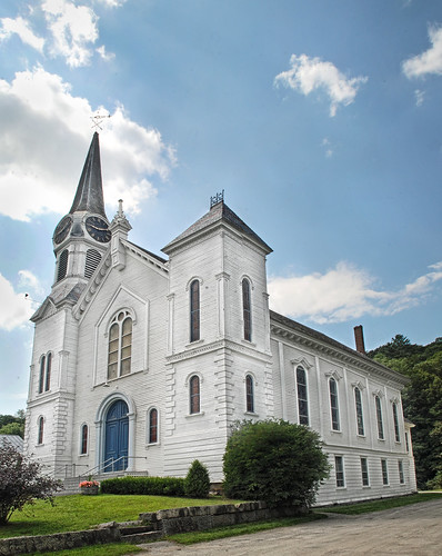
church mainstreet vermont bradford orangecounty vt congregationalchurch bradfordvermont vermontdreams
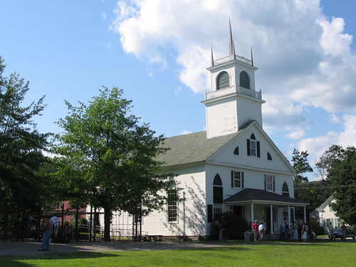
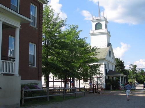
Congregational Church of Bradford, Vermont
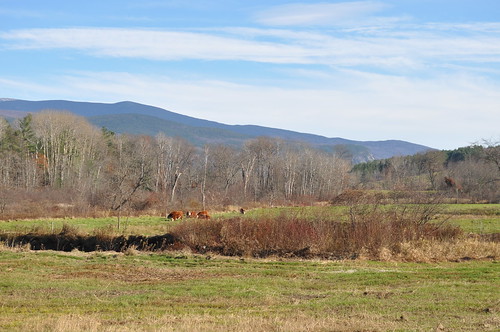
sky mountains field rural woods view scenic newengland newhampshire nh farmland foliage pasture fields haverhill mountmoosilaukee
Cow Pasture and Mount Moosilauke
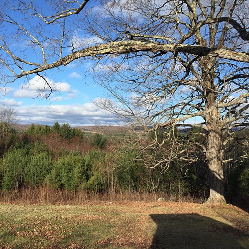
square squareformat iphoneography instagramapp uploaded:by=instagram
Good morning, Cabin! (View from the outhouse) #nofilter #cabinlove
square squareformat iphoneography instagramapp uploaded:by=instagram
View from the bed. Somehow waking up early just doesn't hurt so much at the Cabin.
newbury vermont shapenotemusic connexionalldaysinging ingallsbicentenial 05051
From the Green
whatsnews
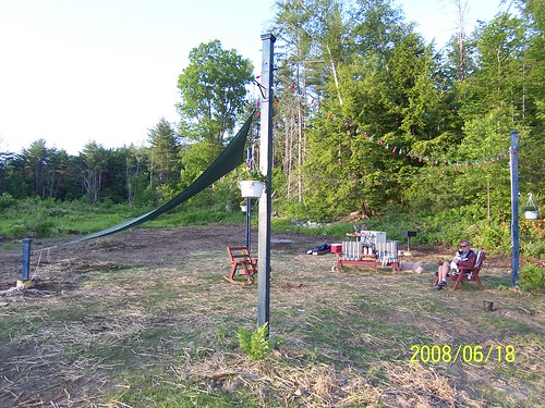
Back view of the sun sail
whatsnews
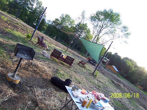
Side view
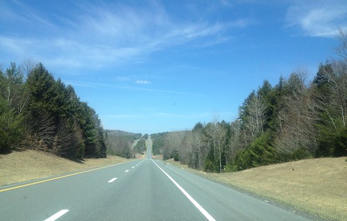
91NB-Exit16-17
hiking newhampshire orford sundaymountain crossrivendelltrail
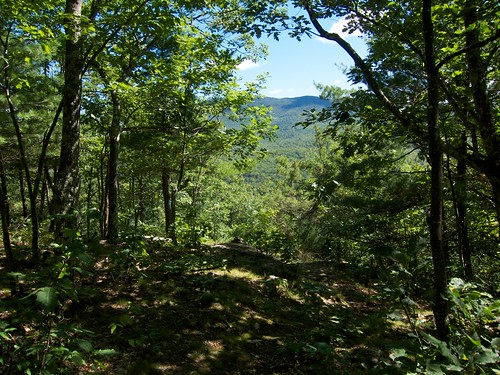
Sunday Mountain Summit View
newbury vermont shapenotemusic connexionalldaysinging ingallsbicentenial 05051
Another View of the Church
waterfall vermont falls glen waterfalls orangecounty vt fairlee glenfalls fairleevt vermontdreams
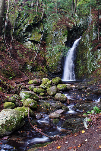
Glen Falls, Fairlee, VT
"LOW CLOUDS" Vermont
2016 beetlejuice canon canon6d canonef2470mmf28liiusm corinth davetrono eastcorinth newengland vt vermont villageroad autumn church fall fallcolors fallfoliage foliage geotagged landscape trees
East Corinth, Vermont
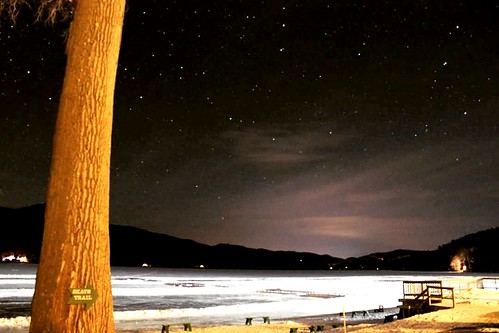
winter sky cold nature night dark stars landscape vermont weatherphotography
Cold starry night.
2018 canon canon5dmarkiv canonef2470mmf28liiusm davetrono newengland barn blue bluehour church fence field geotagged green hill iconic landscape rural shed steeple summer trees village eastcorinth vermont unitedstates us tree
Evening at East Corinth, Vermont
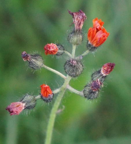
vermont
orange hawkweed
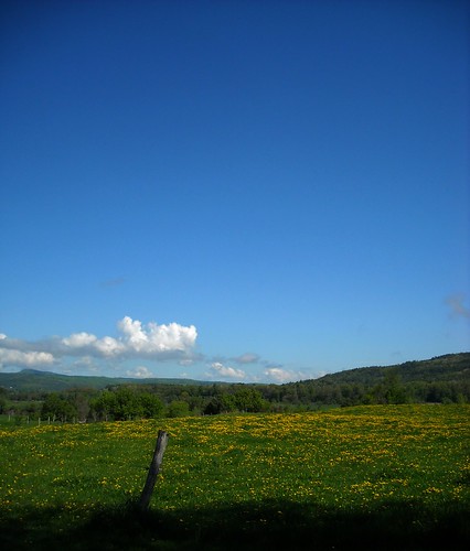
blue sky cloud green grass yellow fence spring day post meadow dandelion projectweathersubmission pwpartlycloudy
dandelion meadow
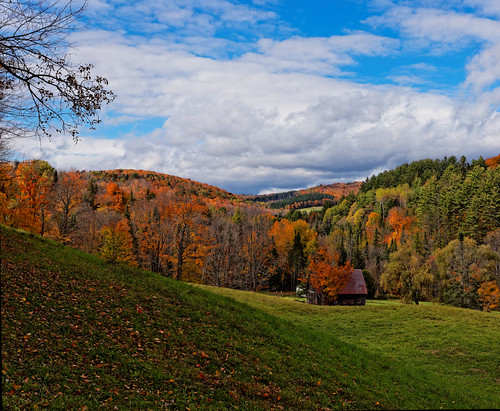
creek store woodlands vermont village thetford vershire canon6d fairleee
Vermont, Oct 2014
uploaded:by=flickstagram instagram:venuename=lakemoreyresort instagram:venue=3403992 instagram:photo=6371044017088161466218140
While photographing a Nordic skating event...
sunset canon eos60d
Sunset in Orford, NH
creek store woodlands vermont village hdr thetford vershire canon6d canon25105mm fairleee
Vermont in the Fall
creek canon store woodlands vermont village 1740mm hdr thetford vershire canon6d fairleee
Vermont, Oct 2014
hiking vermont palisades fairlee unitedstates us
Fairlee Palisades
IMG_4752.jpg
us vermont unitedstates hiking palisades fairlee
Fairlee Palisades
square squareformat iphoneography instagramapp uploaded:by=instagram
Oh, wait! I think it's getting prettier! #ilovethecabin
hdr_00012_1.jpg
water electric waterfall vermont bradford dam hydro
Bradford Dam
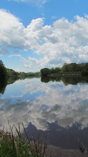
blue sky reflection water clouds river spring cloudy riverbank waterway projectweathersubmission
Reflections on the Connecticut River
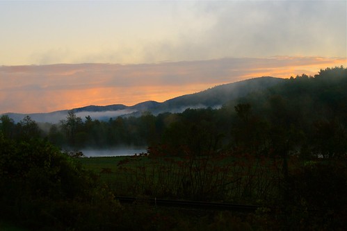
landscape nh lyme connecticutriver riverscape
River Fog Rising with the Sun