Elevation of Court St, Haverhill, NH, USA

Location: United States > New Hampshire > Grafton County > Haverhill >

Longitude: -72.030087

Latitude: 44.019247

Elevation: 258m / 846feet

Barometric Pressure: 98KPa

Elevation Map:

elevation map of Court St, Haverhill, NH, USA

Satellite Map:

Satellite map of Court St, Haverhill, NH, USA

Related Photos:

vermont headstone newburyvermont geotagged oxbowcemeerynewbury
1772 Headstone - Oxbow Cemetery, Vermont, 1985
whatsnews
Back view of the sun sail
epsonv500 vermont farm redbarn newburyvermont geotagged
An Old New England Farm in Vermont - 1985
longexposure autumn nature landscape newhampshire fallfoliage warren hdr mapletrees bakerriver mygearandme mygearandmepremium mygearandmebronze flickrstruereflection1 flickrstruereflection2 flickrstruereflection3 flickrstruereflection4 flickrstruereflection5 flickrstruereflection6 flickrstruereflection7 flickrstruereflectionexcellence
Raging Fall Color
newengland newhampshire
Mount Moosilauke
church mainstreet vermont bradford orangecounty vt congregationalchurch bradfordvermont vermontdreams
Congregational Church of Bradford, Vermont
panorama mountain climb pano bald newhampshire peak bluesky nh hike summit warren moosilauke mtmoosilauke mountaintop baldtop 4000footer geo:lat=44022447 geo:lon=71831360 mountmoosilauke warrennewhampshire willmcelroy
Mt. Moosilauke
bridge bath newhampshire nh covered swiftwater
Broken Bridge
summer hiking newhampshire haverhill benton beaverpond chippewatrail bentonrange
Sugarloaf Mountain through the mist
sky mountains field rural woods view scenic newengland newhampshire nh farmland foliage pasture fields haverhill mountmoosilaukee
Cow Pasture and Mount Moosilauke
91NB-Exit16-17
mountain nature rock clouds forest landscape rocks top
View From Mount Moosilauke
appalachiantrail 2013 newhampshire
Appalachian Trail 2013
Pancakes and a view.
hiking chippewatrail bentonrange blackmountain newhampshire
View From Black Mountain
Best breakfast view.
newbury vermont shapenotemusic connexionalldaysinging ingallsbicentenial 05051
Another View of the Church
Pancakes and a view.
hiking newhampshire blackmountain chippewatrail bentonrange
View From Black Mountain
newbury vermont shapenotemusic connexionalldaysinging ingallsbicentenial 05051
From the Green
landscape newhampshire september mountmoosilauke
180 degree view from the top of Mount Moosilauke NH
2020 canon canon5dmarkiv canonef24mmf14lii corinth davetrono eastcorinth jupiter milkyway newengland saturn vt vermont astronomy astrophotography barn church dandelions fence geotagged hill iconic landscape nightphotography nightsky pasture rural shed spring stars steeple town trees village unitedstates
Milky Way over Vermont Village
park horses nature rural fence outside spring scenery outdoor newengland newhampshire dramatic overcast whitemountains nh hdr filtered landscaoe 2013
Lost River Road
newhampshire places bath covered bridge bathhaverhill ammonoosuc river
Bath-Haverhill Covered Bridge
field fog landscape pines misttrail
Orford, NH
sleddogwarrennhredstonerocket
Finish Line
usa vermont fairlee lakemorey
In my mother's footsteps
usa vermont fairlee lakemorey
Lake Morey
bridge usa water landscape geotagged wooden nikon bath newhampshire nh covered coveredbridge 2009 haverhill d80
Bath-Haverhill covered Bridge
nature lulu outdoor newhampshire softcoatedwheatenterrier mtcube
Descending Mt. Cube
winter sunset sky lake nature clouds landscape frozen vermont weatherphotography
Winter Sunset
2016 beetlejuice canon canon6d canonef2470mmf28liiusm corinth davetrono eastcorinth newengland vt vermont villageroad autumn church fall fallcolors fallfoliage foliage geotagged landscape trees us
East Corinth, Vermont
ammonoosucriver bathhaverhillcoveredbridge landscape reflection sky clouds cloudporn skyporn nature waterscape water river blackandwhite monochrome bw nikon d610 2018g woodsville newhampshire nh unitedstatesofamerica usa bathhaverhill fav10 fav25 fav50
Ammonoosuc River
winter sky cold nature night dark stars landscape vermont weatherphotography
Cold starry night.
2018 canon canon5dmarkiv canonef2470mmf28liiusm davetrono newengland barn blue bluehour church fence field geotagged green hill iconic landscape rural shed steeple summer trees village eastcorinth vermont unitedstates us tree
Evening at East Corinth, Vermont
haverhillbathcoveredbridge haverhillbath coveredbridge historic history ammonoosucriver woodsville bath newhampshire nh unitedstatesofamerica usa historicplace old landscape light nikon d610 2018g haverhill fav10 fav25
Haverhill-Bath Covered Bridge
blue summer sky stone wall clouds barn corn afternoon farm cirrus farmstead projectweathersubmission
next to the cemetery
waterfall vermont falls glen waterfalls orangecounty vt fairlee glenfalls fairleevt vermontdreams
Glen Falls, Fairlee, VT
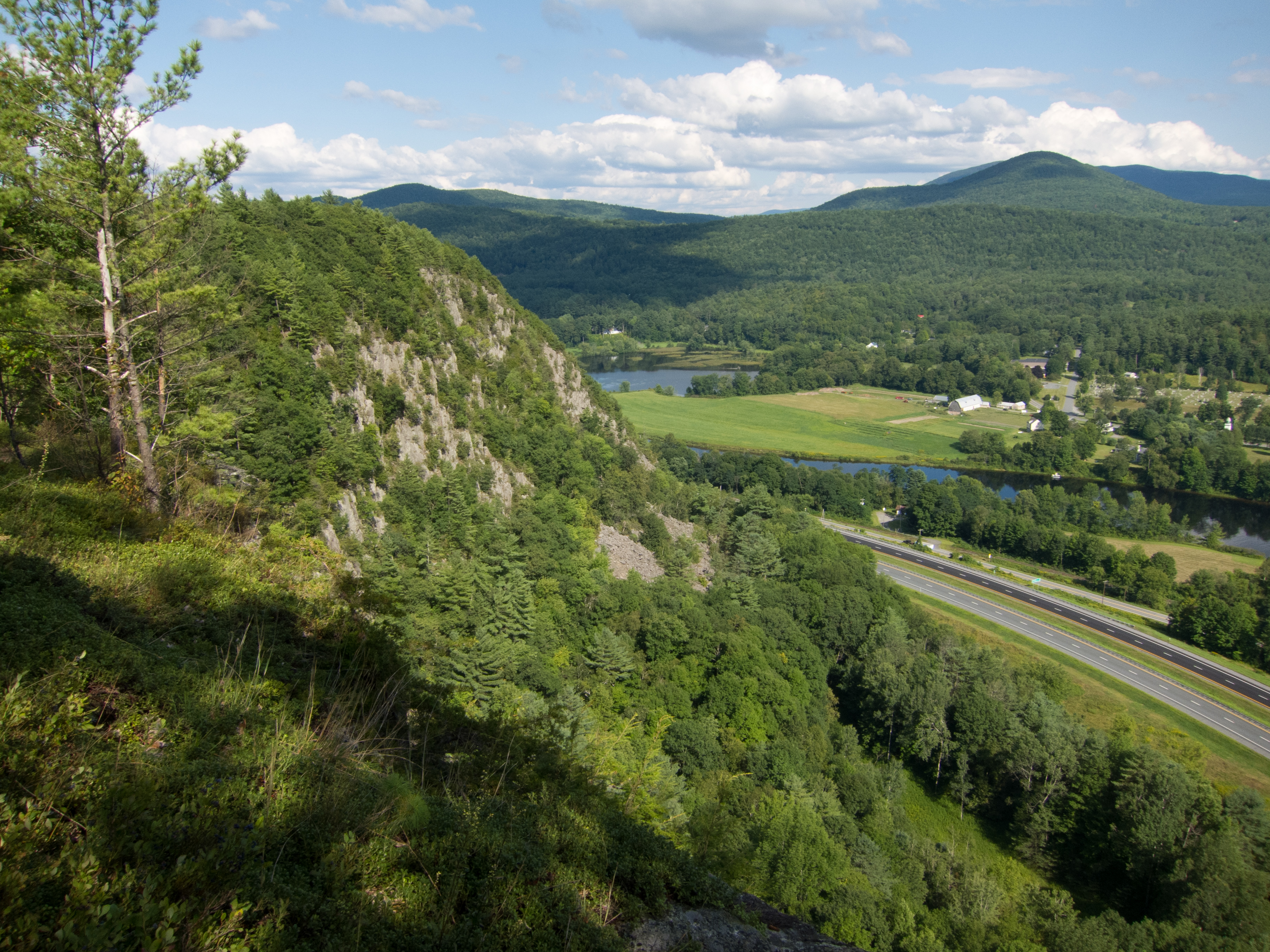
hiking vermont palisades fairlee unitedstates us
Fairlee Palisades