Elevation of 30 Knapp Rd, Piermont, NH, USA

Location: United States > New Hampshire > Grafton County > Piermont >

Longitude: -72.007319

Latitude: 44.0070696

Elevation: 327m / 1073feet

Barometric Pressure: 97KPa

Elevation Map:

elevation map of 30 Knapp Rd, Piermont, NH, USA

Satellite Map:

Satellite map of 30 Knapp Rd, Piermont, NH, USA
Related Photos:

vermont headstone newburyvermont geotagged oxbowcemeerynewbury
1772 Headstone - Oxbow Cemetery, Vermont, 1985
longexposure autumn nature landscape newhampshire fallfoliage warren hdr mapletrees bakerriver mygearandme mygearandmepremium mygearandmebronze flickrstruereflection1 flickrstruereflection2 flickrstruereflection3 flickrstruereflection4 flickrstruereflection5 flickrstruereflection6 flickrstruereflection7 flickrstruereflectionexcellence
Raging Fall Color
bridge bath newhampshire nh covered swiftwater
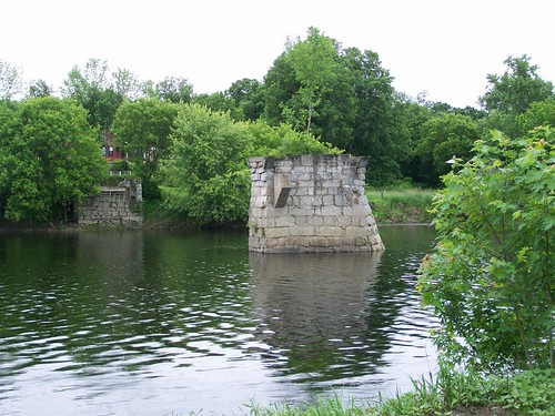
Broken Bridge
panorama geotagged newhampshire moosilauke geo:lat=44023419 geo:lon=71831424
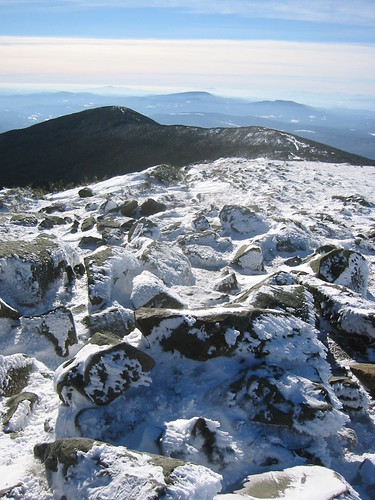
View to the North from the Summit of Mt. Moosilauke (panorama)
geotagged newhampshire moosilauke geo:lon=71831403 geo:lat=4402328
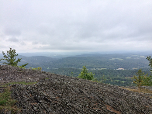
View to the South from the Summit of Mt. Moosilauke
epsonv500 vermont farm redbarn newburyvermont geotagged
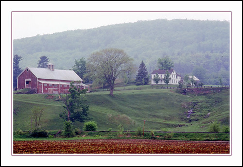
An Old New England Farm in Vermont - 1985
newengland newhampshire
Mount Moosilauke
autumn fall buildings stars dartmouth moosilaukeravinelodge
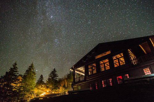
Views From the Green
autumn fall dartmouth dartmouthoutingclub moosilaukeravinelodge
Views From the Green
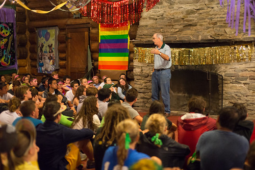
fall dartmouth alumni dartmouthoutingclub moosilaukeravinelodge
Managing Moosilauke: ‘Experiential Learning at Its Best’
fall doc mtmoosilauke dartmouth dartmouthoutingclub iphoneography instagram uploaded:by=instagram
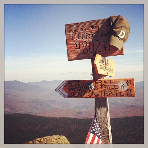
Dartmouth on Instagram
church mainstreet vermont bradford orangecounty vt congregationalchurch bradfordvermont vermontdreams
Congregational Church of Bradford, Vermont
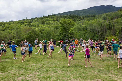
summer students dartmouth moosilaukeravinelodge sophomoretrips
Views From the Green
summer students dartmouth sophomore robinsonhall classof2016 moosilaukeravinelodge sophomoresummer sophomoretrips
Views From the Green
summer campus dartmouth moosilaukeravinelodge
Views From the Green
students staff dartmouth alumni moosilaukeravinelodge
Views From the Green
summer students trips dartmouth dartmouthoutingclub doctrips moosilaukeravinelodge trippees philiphanlon
Views From the Green
newhampshire mtmoosilauke dartmouth dartmouthoutingclub firstyeartrips
Views From the Green
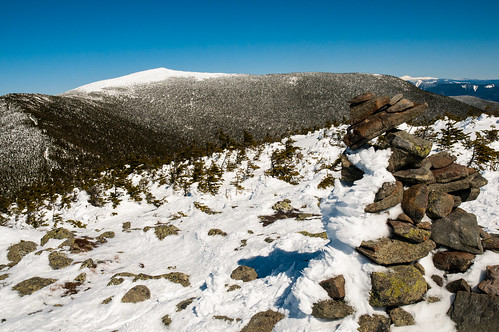
panorama mountain climb pano bald newhampshire peak bluesky nh hike summit warren moosilauke mtmoosilauke mountaintop baldtop 4000footer geo:lat=44022447 geo:lon=71831360 mountmoosilauke warrennewhampshire willmcelroy
Mt. Moosilauke
flowers windows red white flower window kitchen grey sink tea gray newhampshire teapot warren teapots remodel
New Kitchen
building architecture moosilauke dartmouth classof1966
Building the Class of 1966 Bunkhouse
winter sunset sky lake nature clouds landscape frozen vermont weatherphotography
Winter Sunset
winter sky cold nature night dark stars landscape vermont weatherphotography
Cold starry night.
waterfall vermont falls glen waterfalls orangecounty vt fairlee glenfalls fairleevt vermontdreams
Glen Falls, Fairlee, VT
hiking vermont palisades fairlee unitedstates us
Fairlee Palisades
longexposure nature waterfall nikon stream vermont hiking trail 28 lateafternoon 1735mm kindof d700 nearfairlee
Glen Falls (VT)
doc dartmouth dartmouthoutingclub secondcollegegrant firstyeartrips
Dartmouth’s Second College Grant
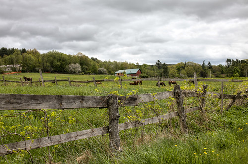
park horses nature rural fence outside spring scenery outdoor newengland newhampshire dramatic overcast whitemountains nh hdr filtered landscaoe 2013
Lost River Road
us vermont bradford unitedstates hiking wrightsmountain wrightsmountaintrail
Wright’s Mountain
field fog landscape pines misttrail
Orford, NH
sleddogwarrennhredstonerocket
Finish Line
statepark bridge ruin newhampshire coveredbridge connecticutriver grafton nationalregister nationalregisterofhistoricplaces bedellcoveredbridge
Bedell Covered Bridge- Grafton County NH (3)
trees blackandwhite bw mountains monochrome us unitedstates newhampshire whitemountains mtmoosilauke benton iphoneography iphone6
The Road To Moosilauke
autumn fall mtmoosilauke dartmouth
Looking Down on the Lodge
blue summer sky stone wall clouds barn corn afternoon farm cirrus farmstead projectweathersubmission
next to the cemetery
summer students dartmouth moosilaukeravinelodge saltydograg sophomoretrips
Sophomore Trips
doc dartmouth dartmouthoutingclub secondcollegegrant firstyeartrips
Dartmouth’s Second College Grant
doc dartmouth dartmouthoutingclub secondcollegegrant firstyeartrips
Dartmouth’s Second College Grant
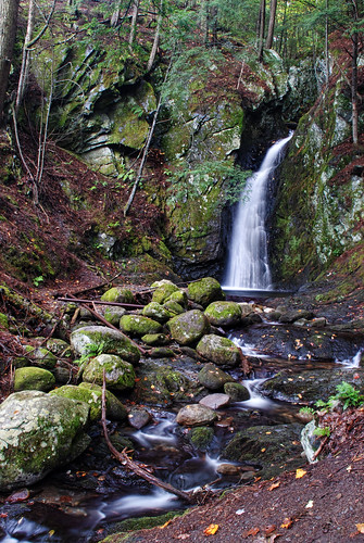
waterfall woods vermont falls glen waterfalls orangecounty vt fairlee downstream glenfalls fairleevt vermontdreams
Downstream from Glen Falls, VT 1