Elevation of Dartmouth College Hwy, Haverhill, NH, USA
Location: United States > New Hampshire > Grafton County > Haverhill >
Longitude: -72.063928
Latitude: 44.0343611
Elevation: 195m / 640feet
Barometric Pressure: 99KPa
Elevation Map:
Satellite Map:
Related Photos:

An Old New England Farm in Vermont - 1985
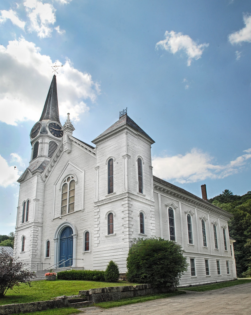
Congregational Church of Bradford, Vermont

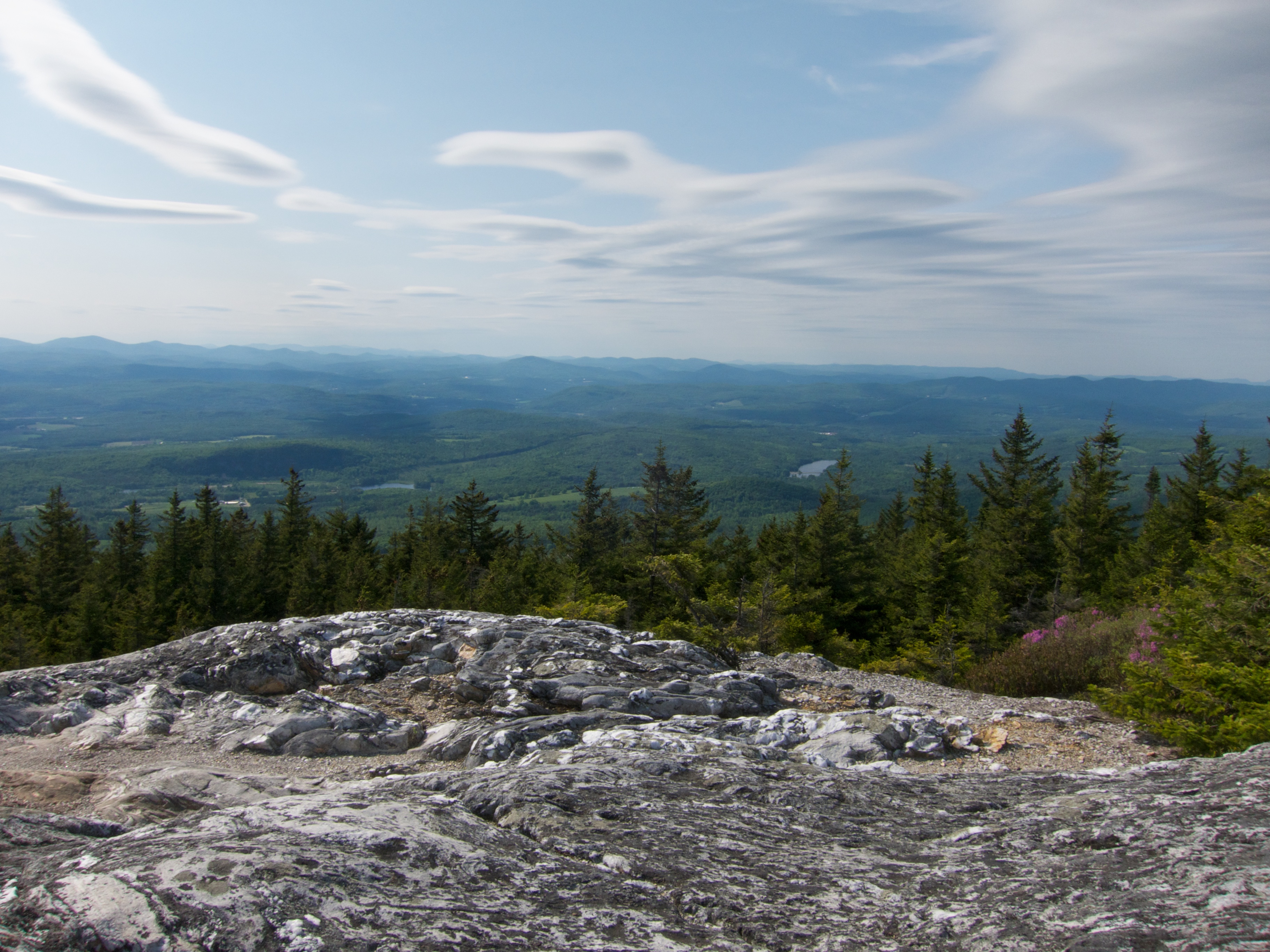
Black Mountain Trail View

Summit View on Black Mountain

South View on Black Mountain

Black Mountain

Broken Bridge

Sugarloaf Mountain through the mist

Cow Pasture and Mount Moosilauke

91NB-Exit16-17

Pancakes and a view.

View From Black Mountain

Best breakfast view.

Another View of the Church

Pancakes and a view.

View From Black Mountain

From the Green
View From Black Mountain

View From Black Mountain
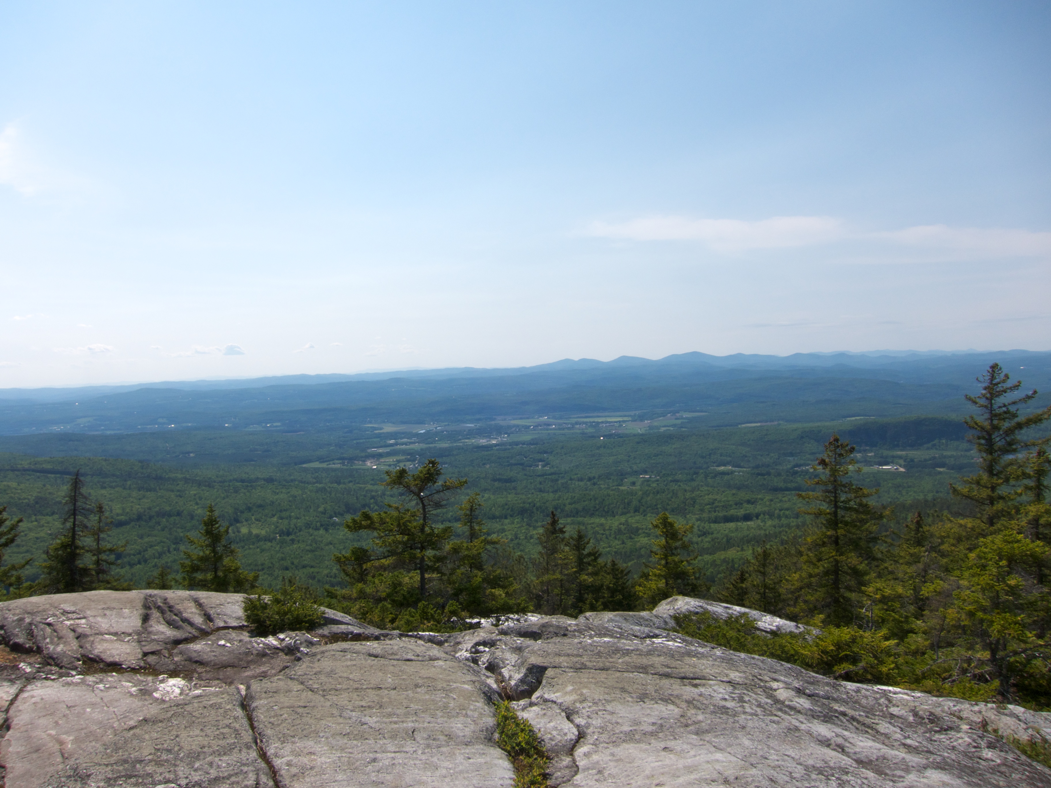
View From Black Mountain

View from the bed. Somehow waking up early just doesn't hurt so much at the Cabin.

Ammonoosuc River

Milky Way over Vermont Village

Evening at East Corinth, Vermont

Haverhill-Bath Covered Bridge

Glen Falls, Fairlee, VT

Downstream from Glen Falls, VT 1

Downstream from Glen Falls, VT 2
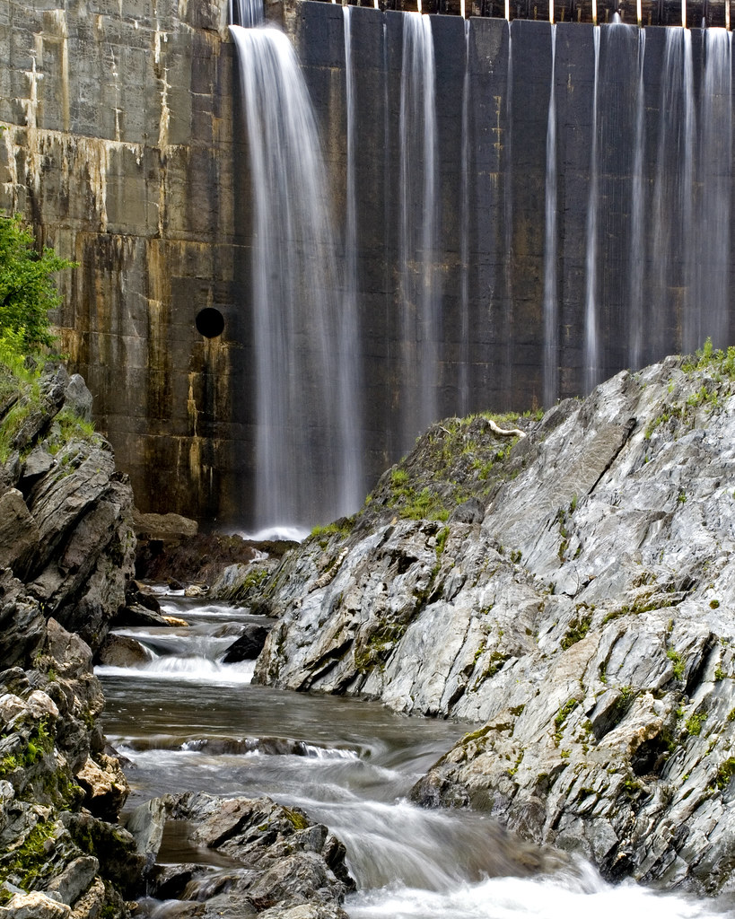
Bradford Dam

Winter Sunset

East Corinth, Vermont

Cold starry night.

Glen Falls (VT)
Fairlee Palisades

Bath-Haverhill Covered Bridge

Deep in the Cut

Spring or Autumn?

Reflections on the Connecticut River

next to the cemetery

dandelion meadow

Connecticut River, Wells River, Vermont
Topographic Map of Dartmouth College Hwy, Haverhill, NH, USA
Find elevation by address:

Places near Dartmouth College Hwy, Haverhill, NH, USA:
Haverhill
Lummoxville Road
1260 Dartmouth College Hwy
1041 Court St
Fairground Road
Blue Spruce Drive
Moore Lane
Moore Lane
1815 Fairground Rd
1163 Fairground Rd
36 Oxbow Dr
30 Knapp Rd
North Haverhill
Piermont
Snake Rd, Newbury, VT, USA
Goshen Road
Main Street
Bradford
596 Tarbox Rd
598 Tarbox Rd
Recent Searches:
- Elevation of Corso Fratelli Cairoli, 35, Macerata MC, Italy
- Elevation of Tallevast Rd, Sarasota, FL, USA
- Elevation of 4th St E, Sonoma, CA, USA
- Elevation of Black Hollow Rd, Pennsdale, PA, USA
- Elevation of Oakland Ave, Williamsport, PA, USA
- Elevation of Pedrógão Grande, Portugal
- Elevation of Klee Dr, Martinsburg, WV, USA
- Elevation of Via Roma, Pieranica CR, Italy
- Elevation of Tavkvetili Mountain, Georgia
- Elevation of Hartfords Bluff Cir, Mt Pleasant, SC, USA