Elevation of Wallace Hill Road, Wallace Hill Rd, Newbury, VT, USA
Location: United States > Vermont > Orange County > Newbury > Wells River >
Longitude: -72.078180
Latitude: 44.1236433
Elevation: 307m / 1007feet
Barometric Pressure: 98KPa
Elevation Map:
Satellite Map:
Related Photos:

An Old New England Farm in Vermont - 1985

1772 Headstone - Oxbow Cemetery, Vermont, 1985
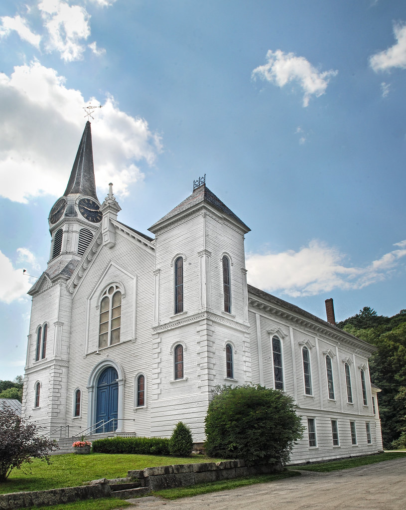
Congregational Church of Bradford, Vermont

Bath Covered Bridge Entrance View, Bath, New Hampshire

Sugarloaf Mountain through the mist

Cow Pasture and Mount Moosilauke

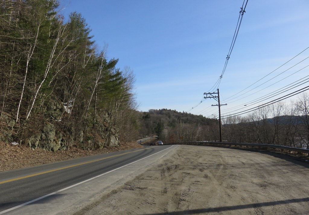
91NB-Exit16-17

Another View of the Church

From the Green

View from the bed. Somehow waking up early just doesn't hurt so much at the Cabin.
Good morning, Cabin! (View from the outhouse) #nofilter #cabinlove
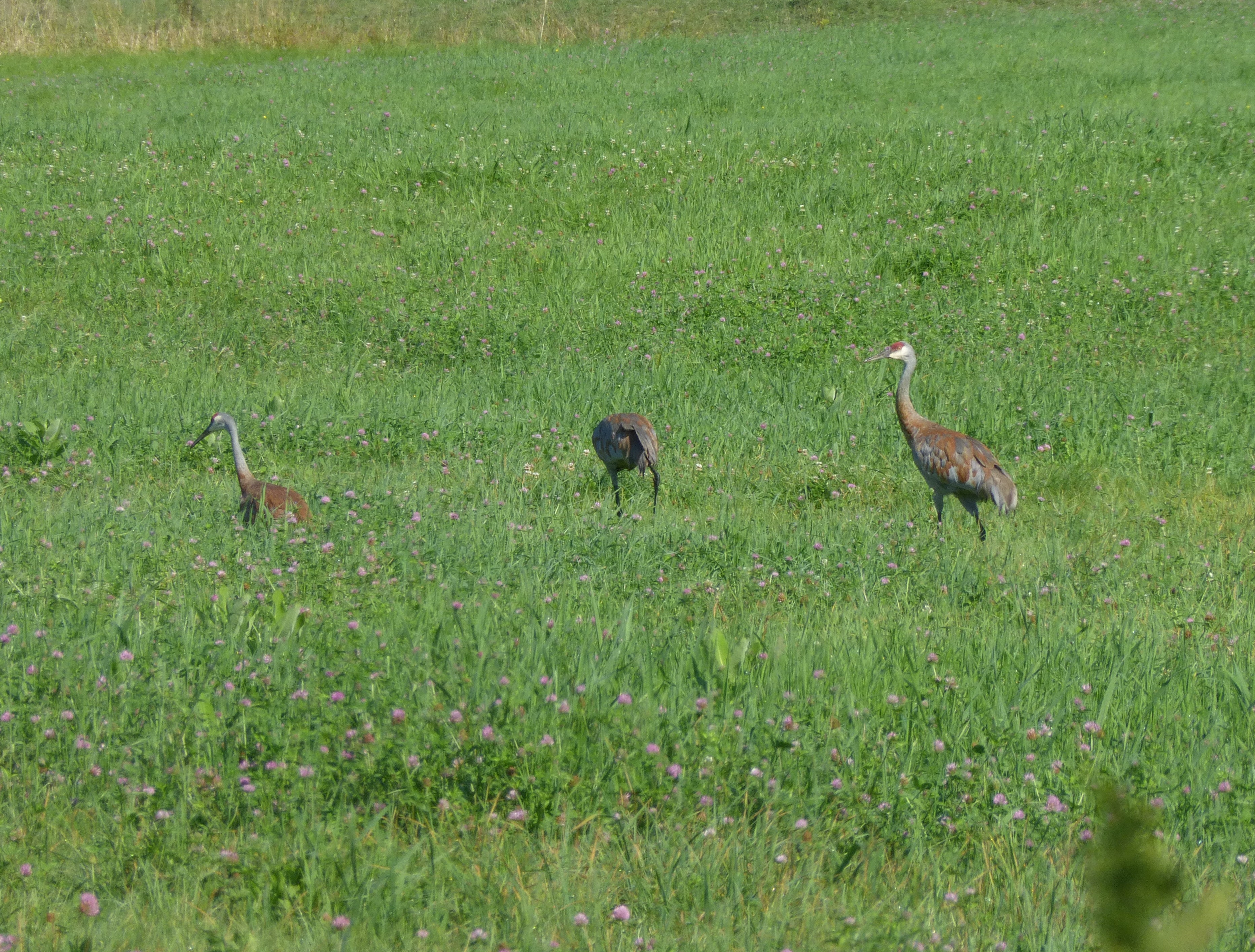
Sandhill Cranes!

Broken Bridge
Bath, NH

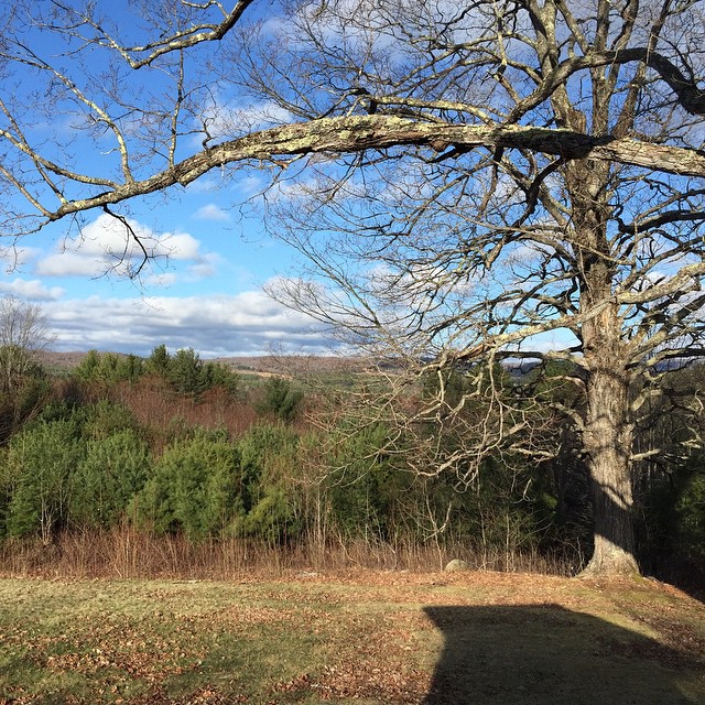
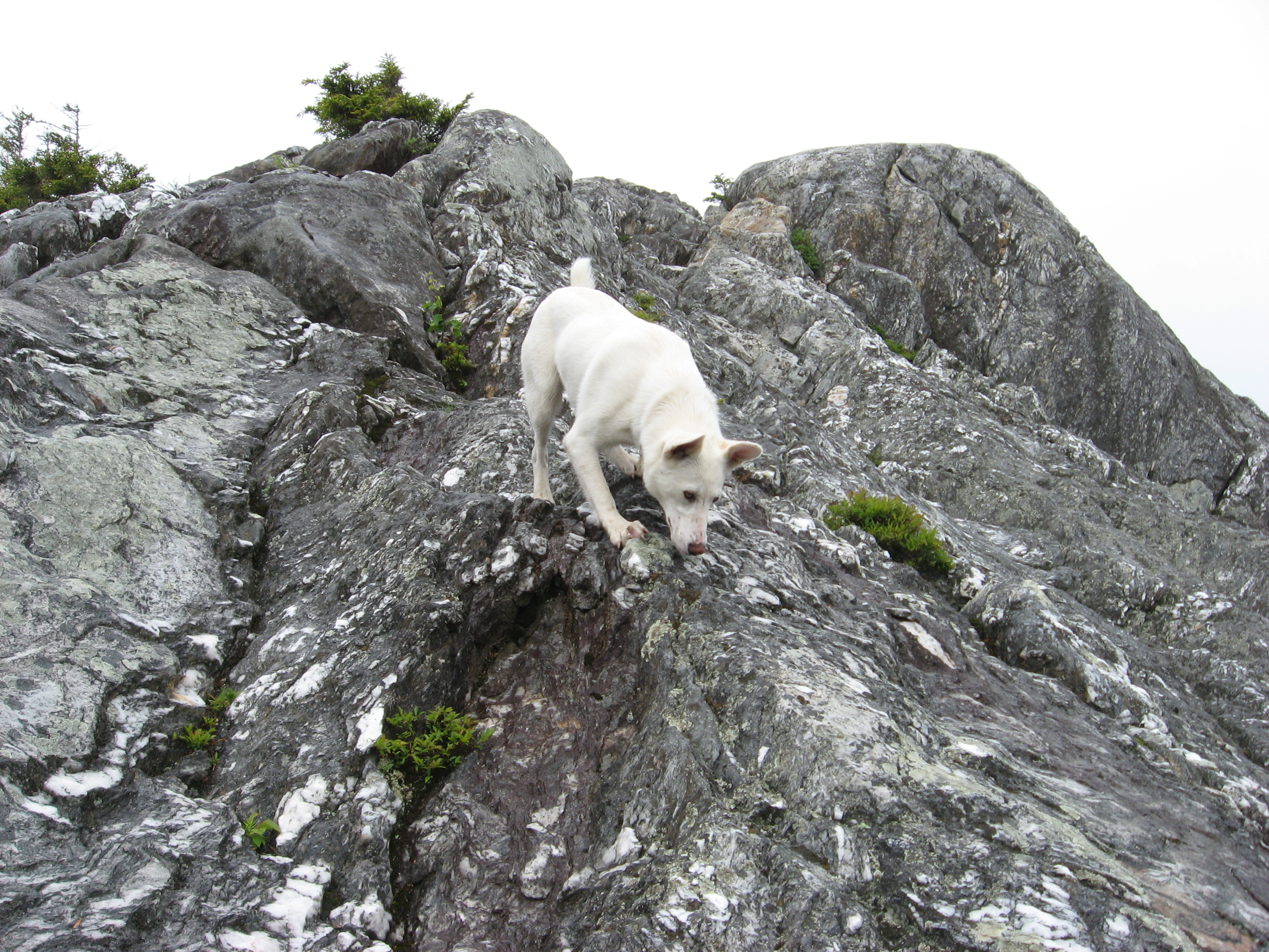
View From Black Mountain

View From Black Mountain
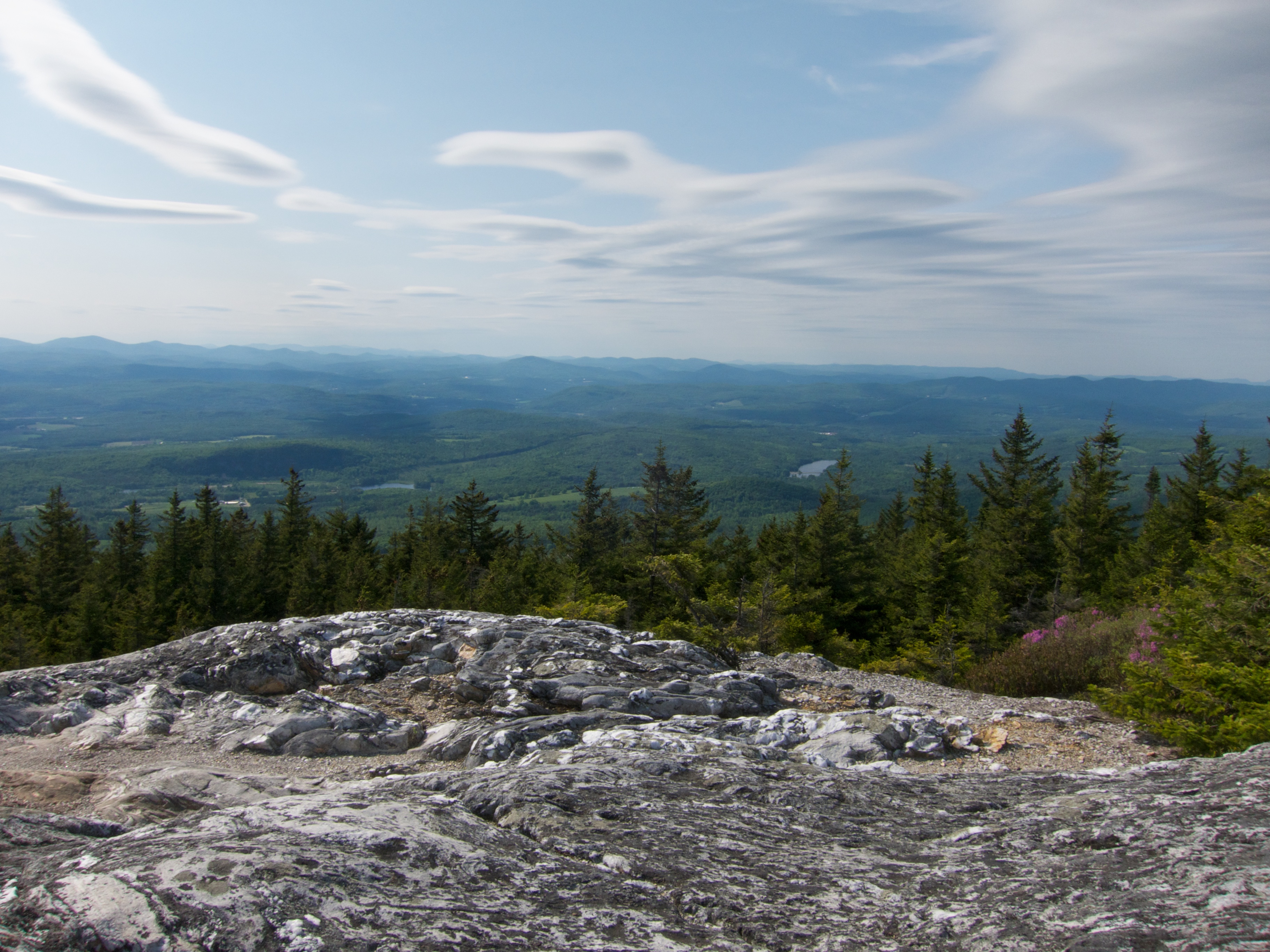
View From Black Mountain

View From Black Mountain
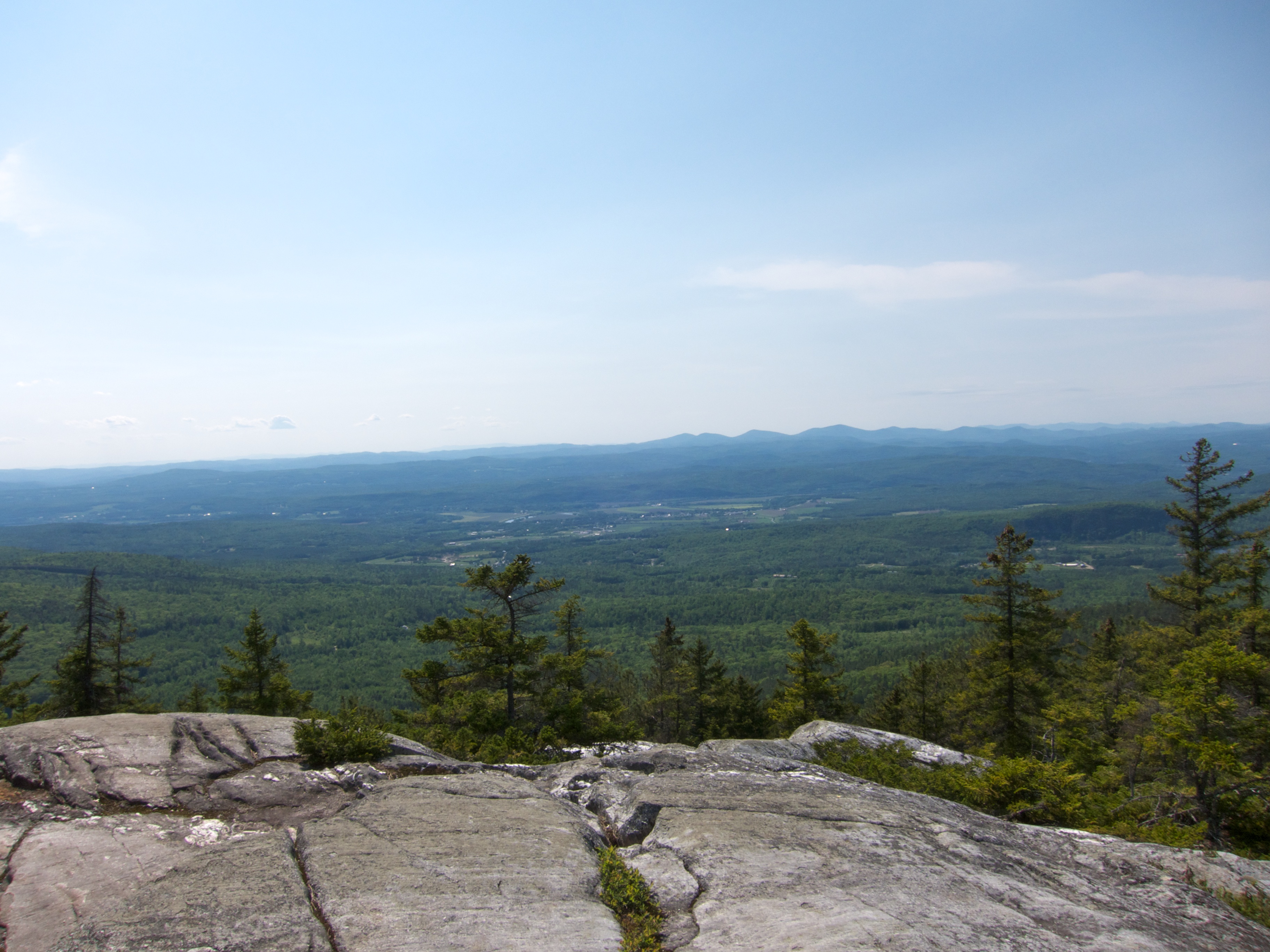
View From Black Mountain
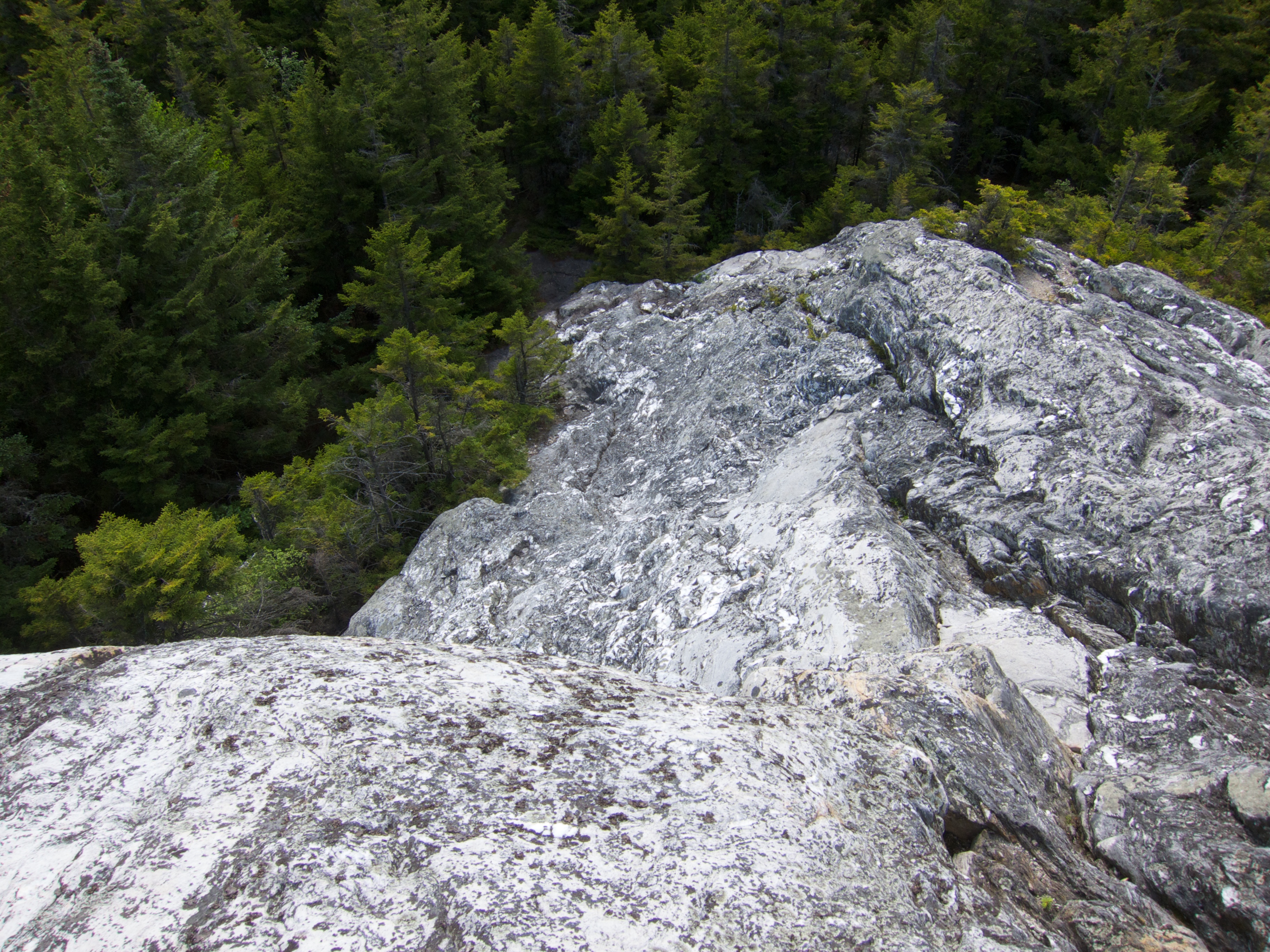
View Down Black Mountain

View From Black Mountain

East Corinth, Vermont

Milky Way over Vermont Village

Whitemount Farm, New Hampshire

Autumn in New Hampshire

New Hampshire Barns

Evening at East Corinth, Vermont

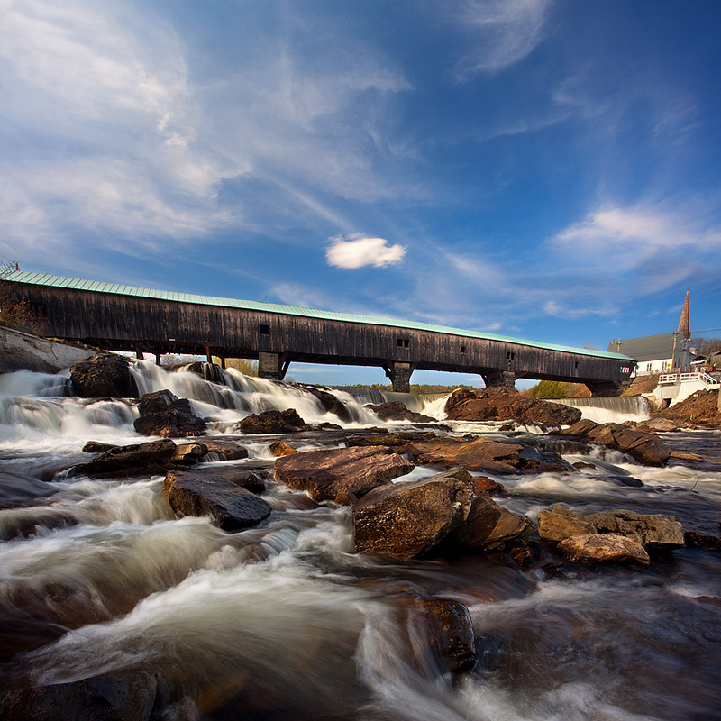
Bath-Haverhill Covered Bridge

Wright’s Mountain
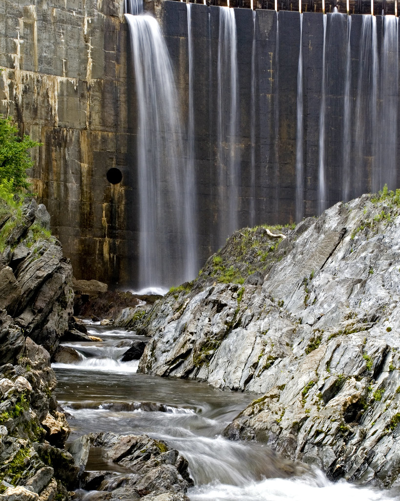
Bradford Dam

Connecticut River, Wells River, Vermont

Bedell Covered Bridge- Grafton County NH (3)

Green Mountains
Connecticut River Valley (Haverhill Town, New Hampshire)

Bath-Haverhill covered Bridge
Salty's Excellent Adventure 3

New England 2010 125

Newbury Reservoir

Bradford Dam 2
Topographic Map of Wallace Hill Road, Wallace Hill Rd, Newbury, VT, USA
Find elevation by address:

Places near Wallace Hill Road, Wallace Hill Rd, Newbury, VT, USA:
184 Stark Trail
184 Stark Trail
184 Stark Trail
Newbury
40 Jennings Ln
Newbury Center Rd, Newbury, VT, USA
219 Longmoore Dr
258 Vaughan Rd
186 Hillside Dr
18 S Bayley Hazen Rd, Ryegate, VT, USA
South Ryegate
8 Church St, South Ryegate, VT, USA
52 Stoneshed Rd
779 Symes Pond Rd
24 Seldom Seen Farm Rd
754 Cochran Dr
8 Harts Crossroad
8 Harts Crossroad
8 Harts Crossroad
8 Harts Crossroad
Recent Searches:
- Elevation of Corso Fratelli Cairoli, 35, Macerata MC, Italy
- Elevation of Tallevast Rd, Sarasota, FL, USA
- Elevation of 4th St E, Sonoma, CA, USA
- Elevation of Black Hollow Rd, Pennsdale, PA, USA
- Elevation of Oakland Ave, Williamsport, PA, USA
- Elevation of Pedrógão Grande, Portugal
- Elevation of Klee Dr, Martinsburg, WV, USA
- Elevation of Via Roma, Pieranica CR, Italy
- Elevation of Tavkvetili Mountain, Georgia
- Elevation of Hartfords Bluff Cir, Mt Pleasant, SC, USA