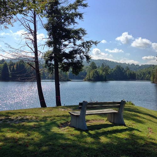
Elevation of Hillside Dr, Ryegate, VT, USA

Location: United States > Vermont > Caledonia County > Ryegate >

Longitude: -72.084892

Latitude: 44.203968

Elevation: 278m / 912feet

Barometric Pressure: 98KPa

Elevation Map:

elevation map of Hillside Dr, Ryegate, VT, USA

Satellite Map:

Satellite map of Hillside Dr, Ryegate, VT, USA

Related Photos:

2018 andromeda bayleyhazenroad canon canon5dmarkiv canonef24mmf14liiusm davetrono giv governorsinstitute governorsinstituteofvermont m31 milkyway ngc224 nkaf newengland northeastkingdom northeastkingdomastronomyfoundation northernskiesobservatory peacham peachamobservatory perseids vt vermont astronomy astrophotography dome galaxy geotagged landscape meteor nightphotography nightsky observatory sky stars summer telescope perseus ngc869 ngc884 doublecluster constellation
Northern Skies Observatory
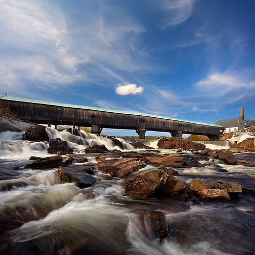
bridge landscape bath newhampshire nh coveredbridge
Bath, NH
summer vermont karmecholing 2007 familycamp kcl
Looking through the door, from the front desk at Karme Choling
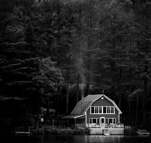
lake vermont westbarnet harveyslakecabinsandcampground
Lake Barnet
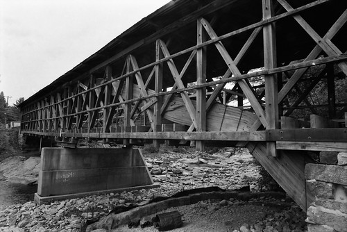
bridge bath newhampshire nh covered swiftwater
Broken Bridge
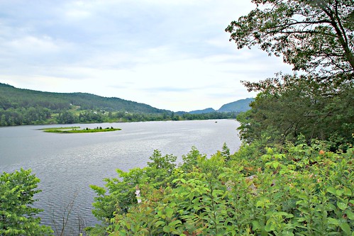
river vermont bb conneticutriver maplemont maplemontbedandbreakfast
CT river view from the B & B
newbury vermont shapenotemusic connexionalldaysinging ingallsbicentenial 05051
From the Green
travel autumn fall horizontal architecture landscape flow outdoors waterfall colorful vermont glow seasons scenic newengland newhampshire nobody historic foliage textures northamerica dreamy daytime quaint woodenbridge coveredbridges fineartphotography ammonoosucriver nationalregisterofhistoricplaces highangleview riversandcreeks buildingexteriors bridgestructures bathcoveredbridge
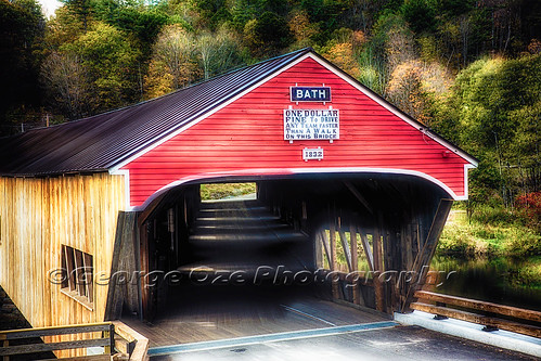
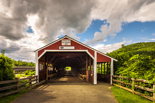
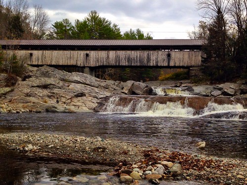
Bath Covered Bridge Entrance View, Bath, New Hampshire
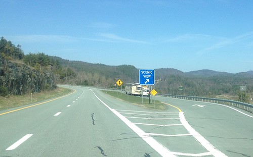
91NB-Exit18-19
birds crane newhampshire aves sandhillcrane rarity gruscanadensis
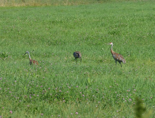
Sandhill Cranes!
newbury vermont shapenotemusic connexionalldaysinging ingallsbicentenial 05051
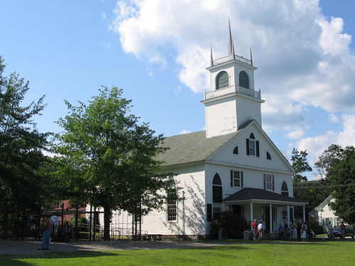
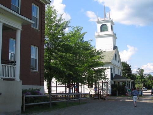
Another View of the Church
2018 barnet barnetcenterroad canon canon5dmarkiv canonef24mmf14liiusm davetrono goodwilliefarm goodwillieroad hillsideacresfarm mars milkyway newengland vt vermont barn dairyfarm deer farm farmhouse geotagged hills iconic landscape moonset nightphotography nightsky planet redbarn rural silo stars summer trees unitedstates us sky
Hillside Acres Milky Way
summer clouds barn canon landscape corn vermont farm newengland barnet vt 2015 canonef24105mmf4lisusm canon6d davetrono bogiemountainfarm
Bogie Mountain Farm
haverhillbathcoveredbridge haverhillbath coveredbridge historic history ammonoosucriver woodsville bath newhampshire nh unitedstatesofamerica usa historicplace old landscape light nikon d610 2018g haverhill fav10 fav25
Haverhill-Bath Covered Bridge
2018 canon canon5dmarkiv canonef70200mmf28lisiiusm churchstreet davetrono newengland peacham vt vermont whitemountains barn bluehour church classicvermont corn cows dusk farm fullmoon geotagged hills landscape moon moonrise pasture redbarn rural steeple us mountain field northeastkingdom
Moonrise over Peacham, Vermont
autumn trees mountains fall church barn canon landscape vermont farm newengland newhampshire whitemountains nh hills foliage vt northeastkingdom 2015 presidentials peacham canonef24105mmf4lisusm canon6d davetrono peachamcongregationalchurch
Peacham, Vermont
usa lake green public water geotagged nikon vermont newengland lac vert groton nouvelleangleterre rickerpond guillaumeboisseau coolpixs510 rickerpondstatepark geo:lat=44243569 geo:lon=72244119
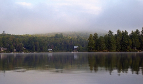
Morning fog over Ricker Pond
mountains fall sunrise vermont newengland jclay
The Valley
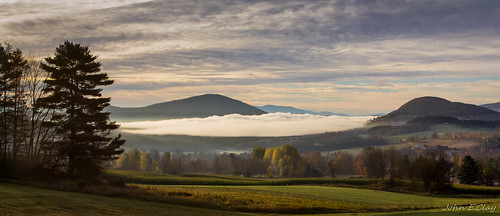
"LOW CLOUDS" Vermont
2018 barnet canon canon5dmarkiv canonef2470mmf28liiusm davetrono goodwilliefarm goodwillieroad hillsideacresfarm newengland vt vermont westbarnet barn dairyfarm farm farmhouse geotagged landscape red redbarn rural silo winter unitedstates us snow
Hillside Acres Farm
2018 canon canon5dmarkiv canonef2470mmf28liiusm davetrono macksmountain newengland peacham vt vermont geotagged landscape maple maplesap maplesugar maplesyrup red rural sap saphouse shack snow sugarhouse sugarshack trees winter perspective
Vermont Sugar Shack
fall water landscape scenery newengland newhampshire rivers ammonoosucriver lisbonnh
Still a little fall left in Lisbon, NH
waterfall vermont fallfoliage groton canonef1740mmf4l bwcircularpolarizer 5dmarkii
Little Unnamed Waterfall in Vermont
ammonoosucriver bathhaverhillcoveredbridge landscape reflection sky clouds cloudporn skyporn nature waterscape water river blackandwhite monochrome bw nikon d610 2018g woodsville newhampshire nh unitedstatesofamerica usa bathhaverhill fav10 fav25 fav50
Ammonoosuc River
woodsville
Covered Bridge
autumn green fall colors clouds scenery unitedstates scenic newhampshire roadtrip nh foliage 2009 vt eastryegate
Borders of NH
square squareformat mayfair iphoneography instagramapp uploaded:by=instagram
My favorite fishing spot
autumn vermont seasons unitedstates fallcolors newhampshire barnet comerforddam
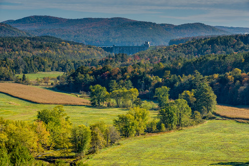
Comerford Dam on Vermont - New Hampshire Border
square squareformat iphoneography instagramapp uploaded:by=instagram
'Morning. #woodsville #mountainlakes #newhampshire #labordayweekend
2018 barnet barnetcenterroad canon canon5dmarkiv canonef2470mmf28liiusm davetrono goodwilliefarm goodwillieroad hillsideacresfarm newengland vt vermont barn dairyfarm farm farmhouse geotagged hills landscape redbarn rural silo spring trees unitedstates us forest iconic
Hillside Acres Farm, Barnet, Vermont