Elevation of KY-7, Grayson, KY, USA
Location: United States > Kentucky > Carter County > Grayson >
Longitude: -82.969093
Latitude: 38.2853606
Elevation: 188m / 617feet
Barometric Pressure: 99KPa
Elevation Map:
Satellite Map:
Related Photos:

Sellers Airfield Panorama

The View, again...

The View
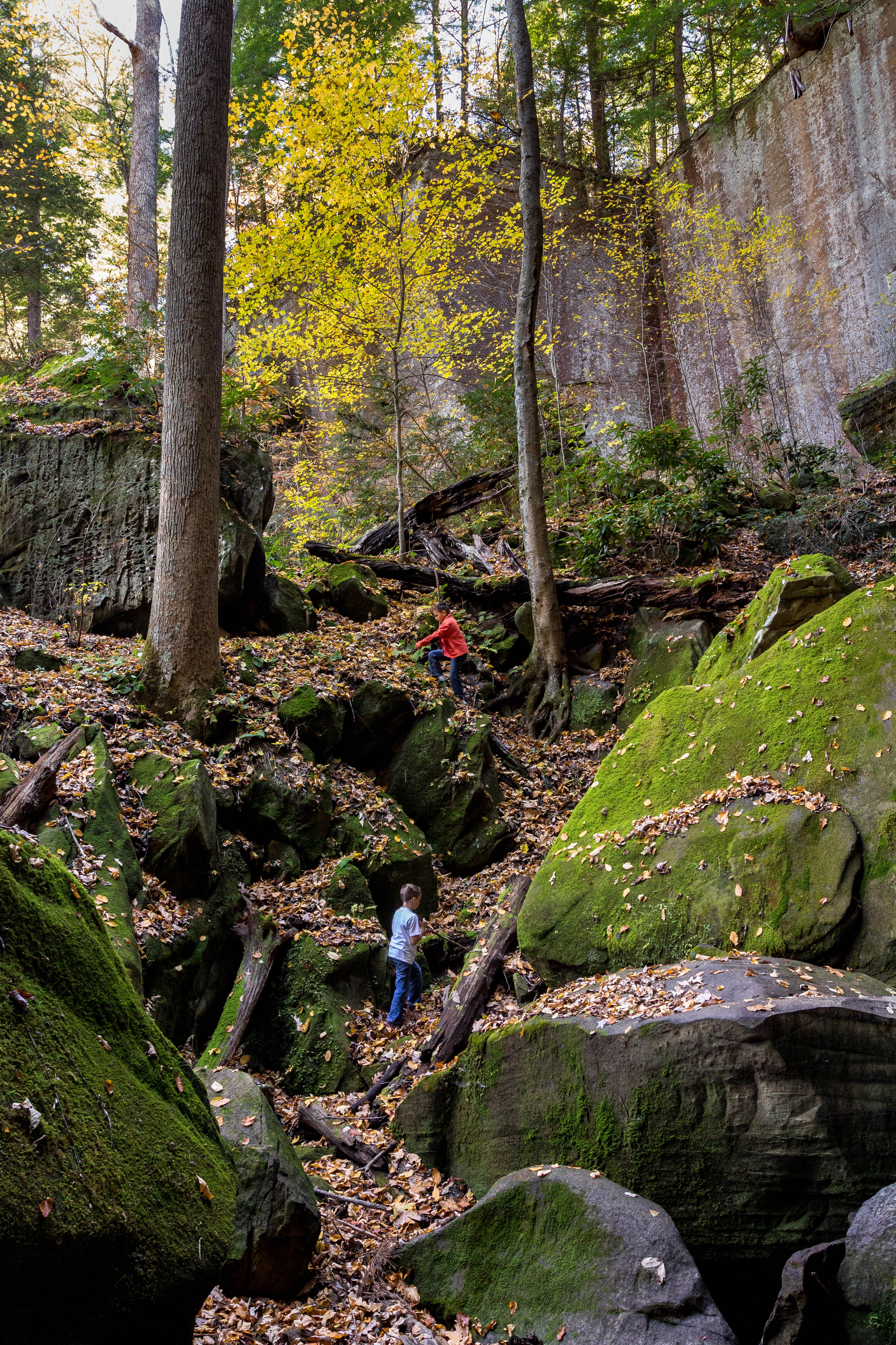
Playing In Gorge

A spelunking we shall go.
in the field
Two Trees Growing On A Moss Covered Rock
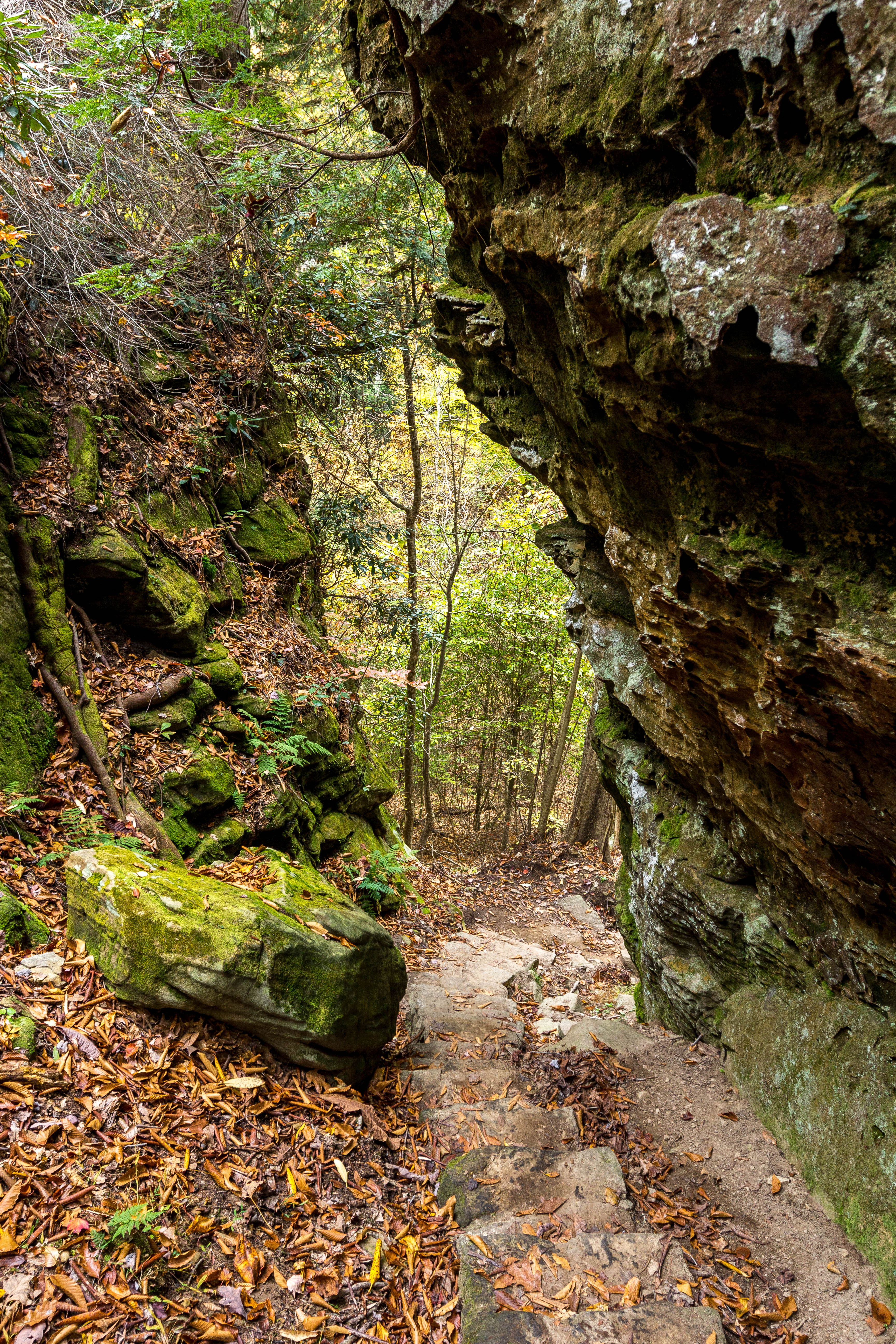
Trail Descends
Waterfall Moss
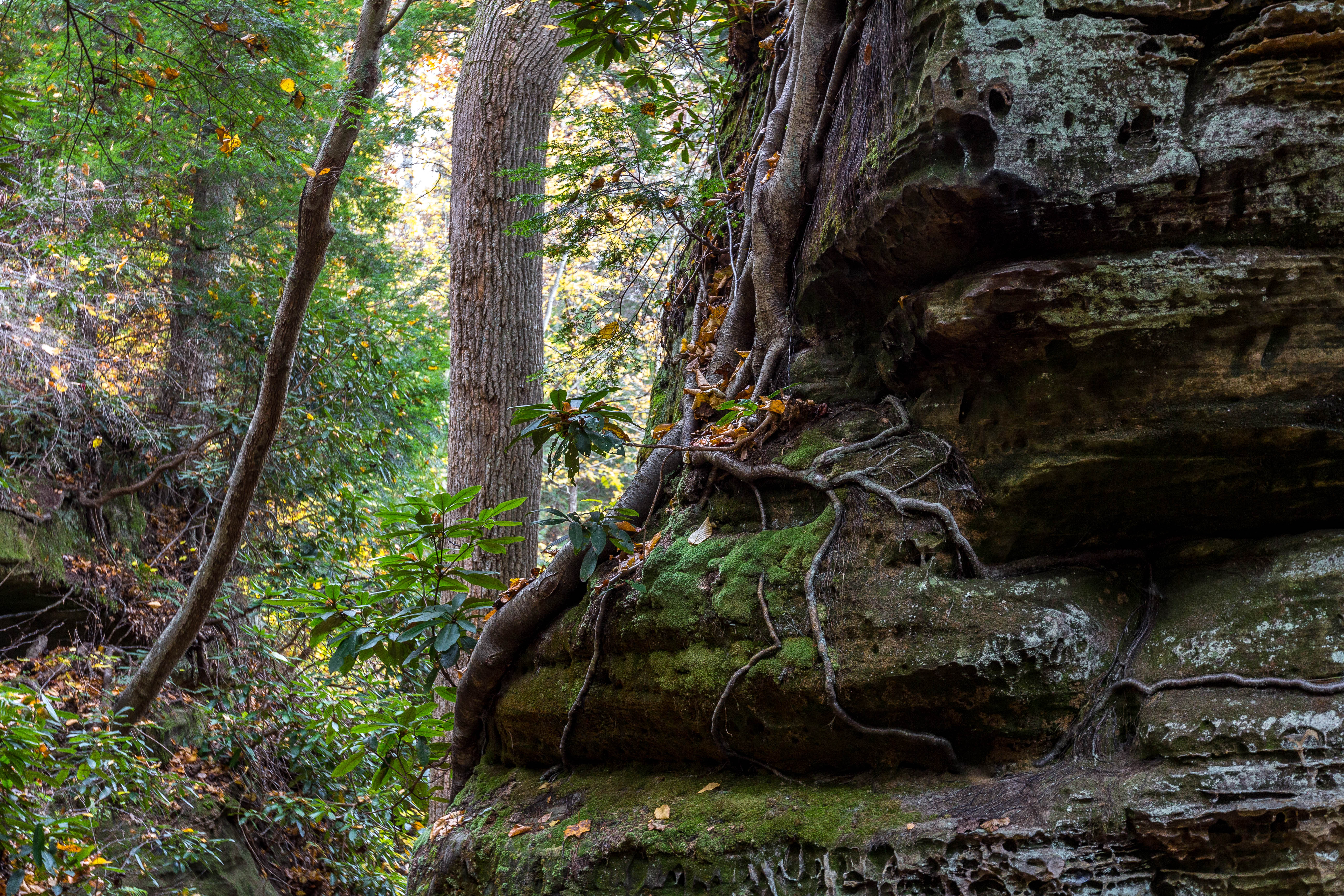
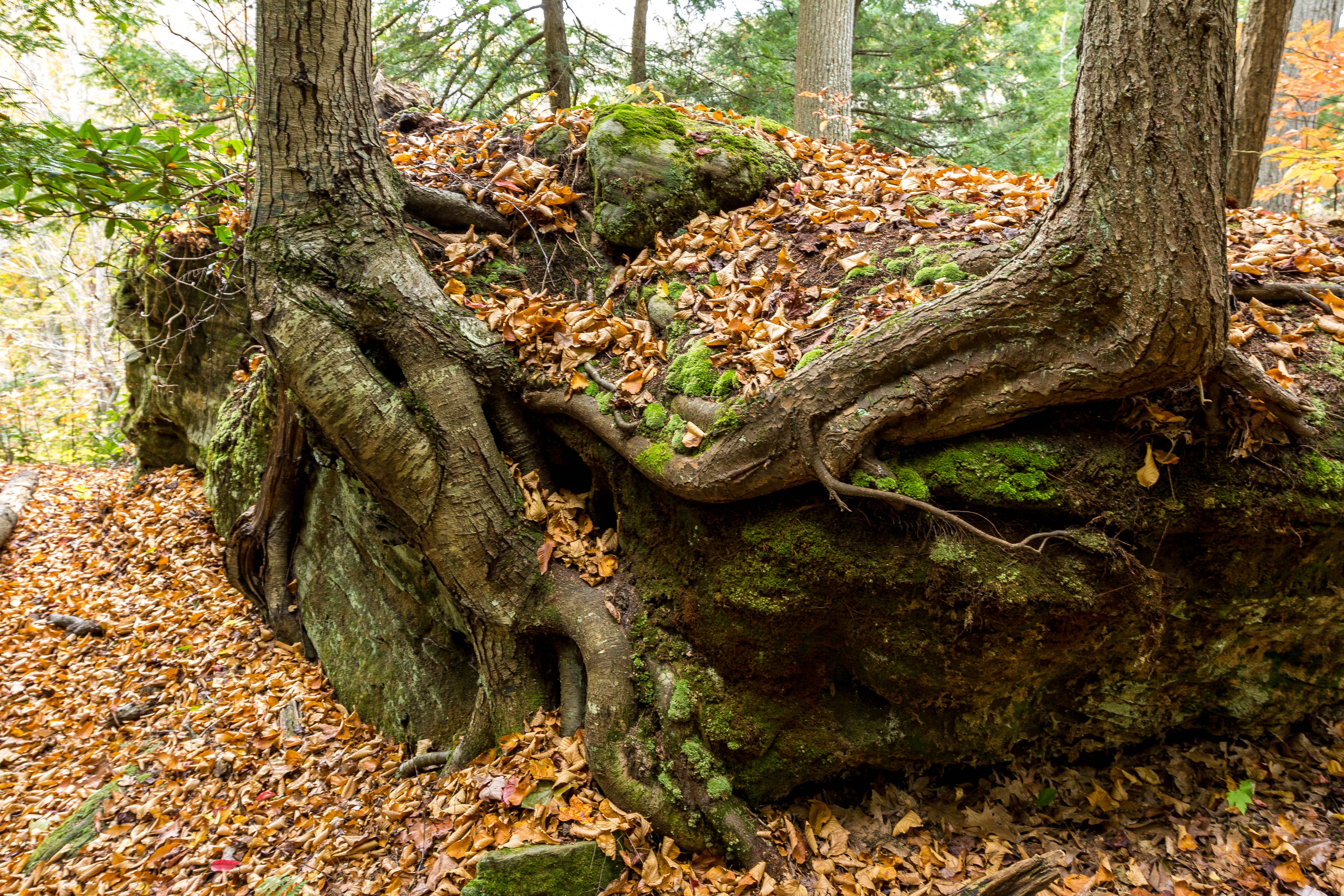
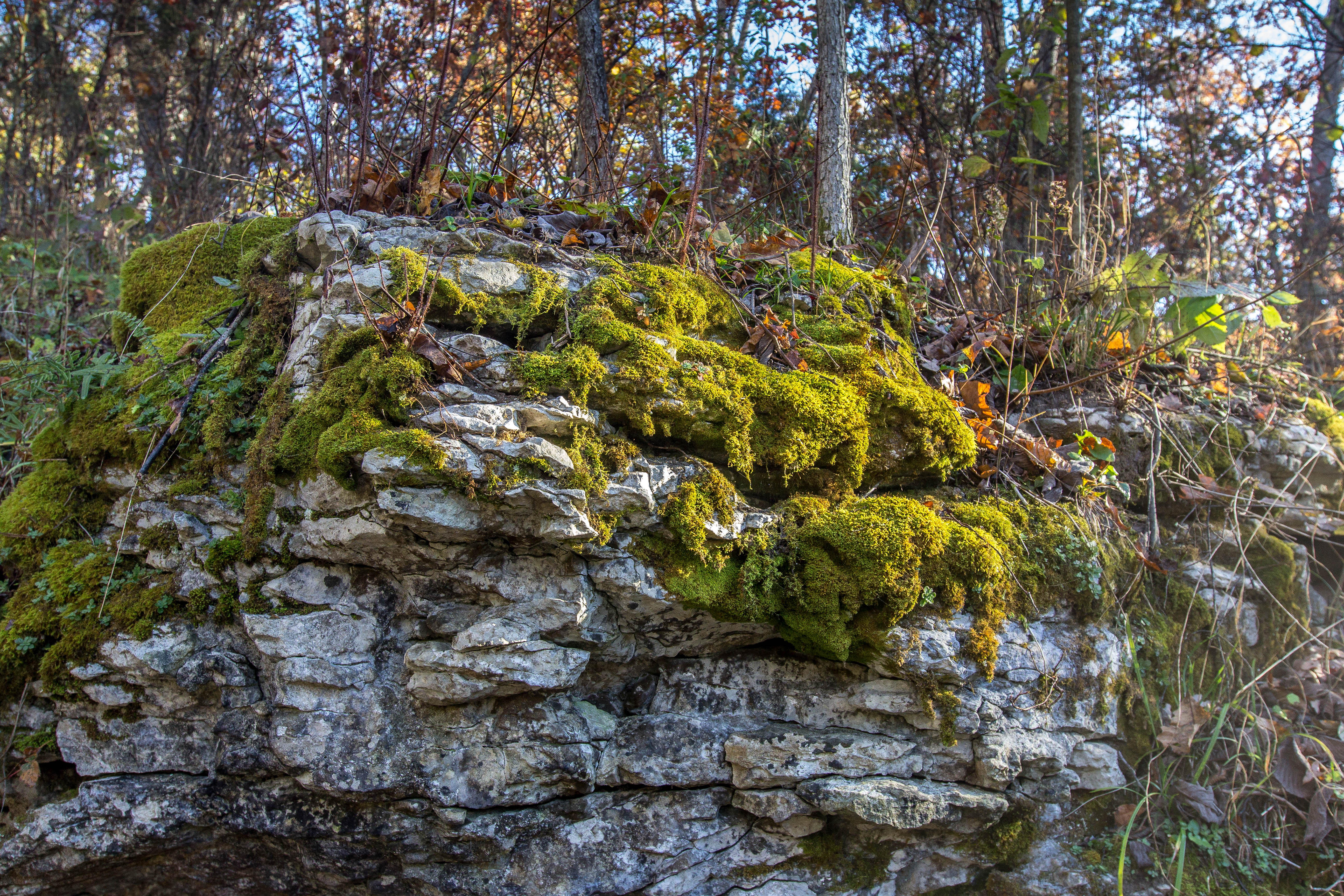
Roots, Rocks, and Moss
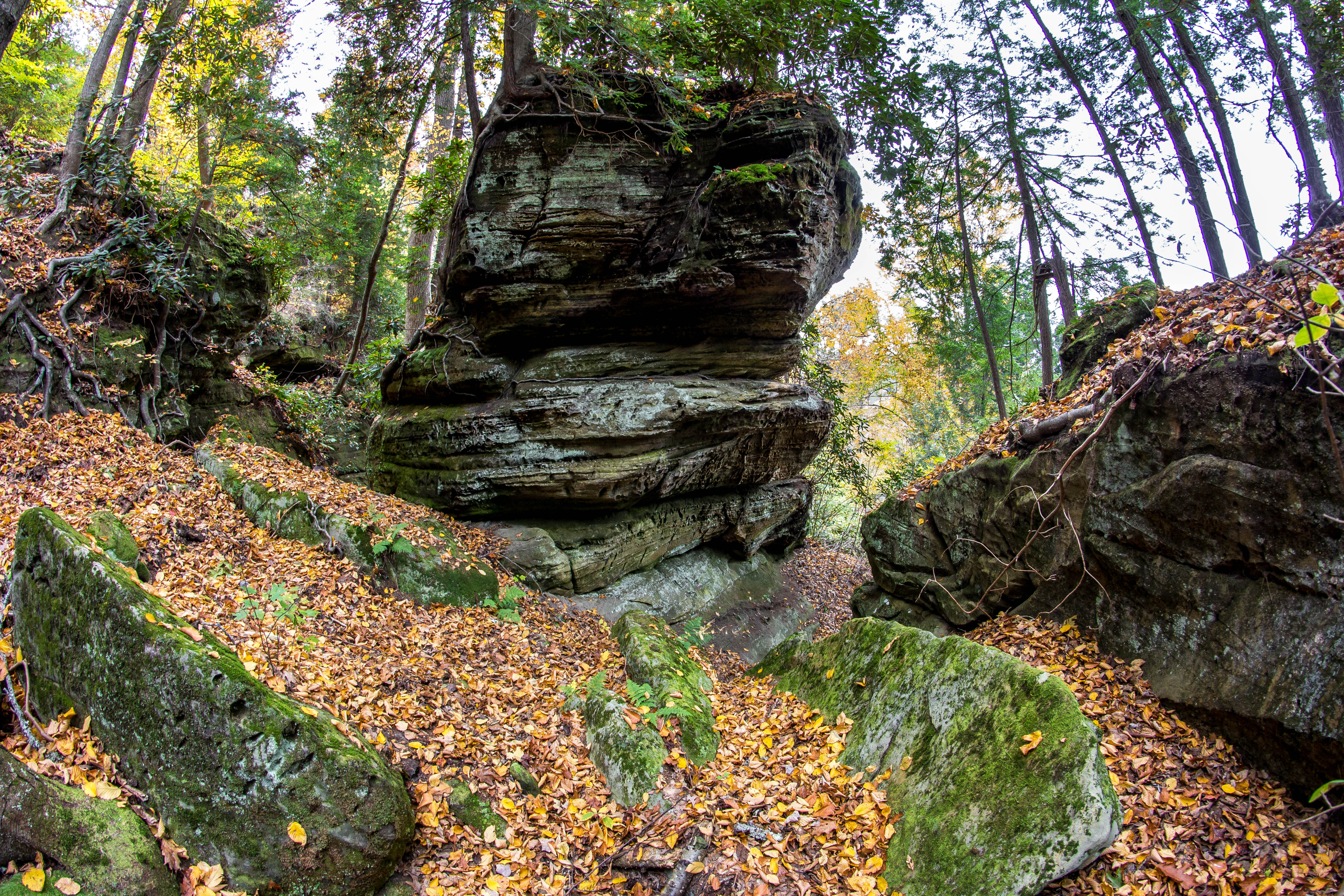
Rock Formations
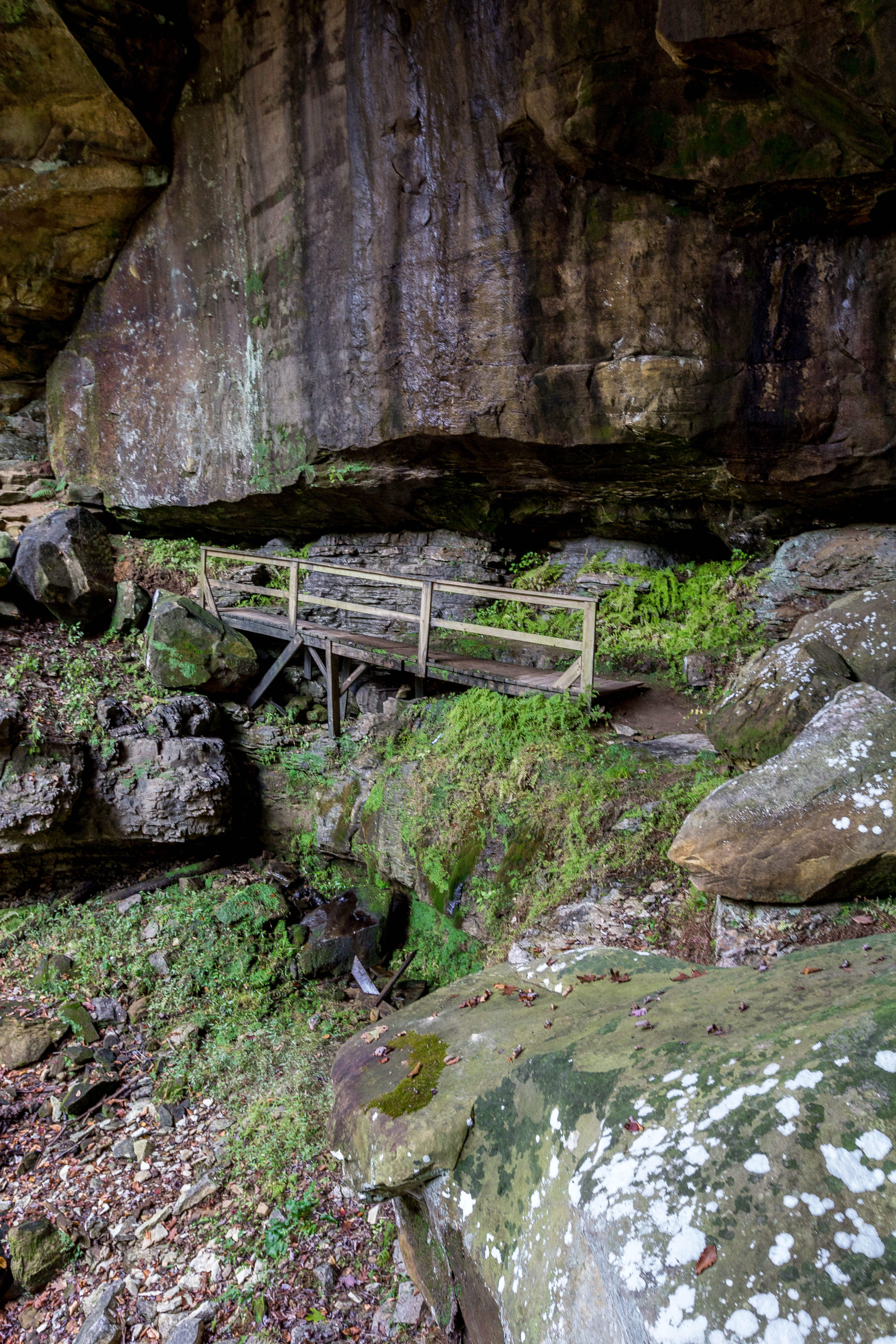
Fern Bridge
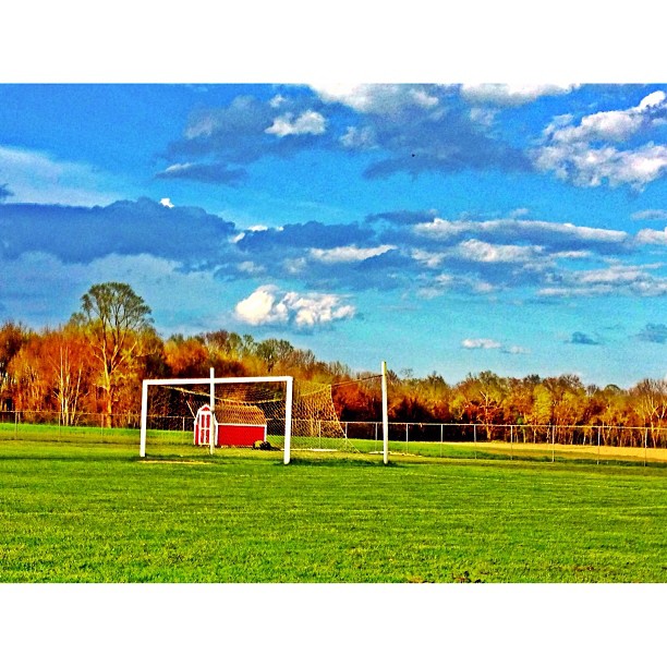
This evenings soccer venue

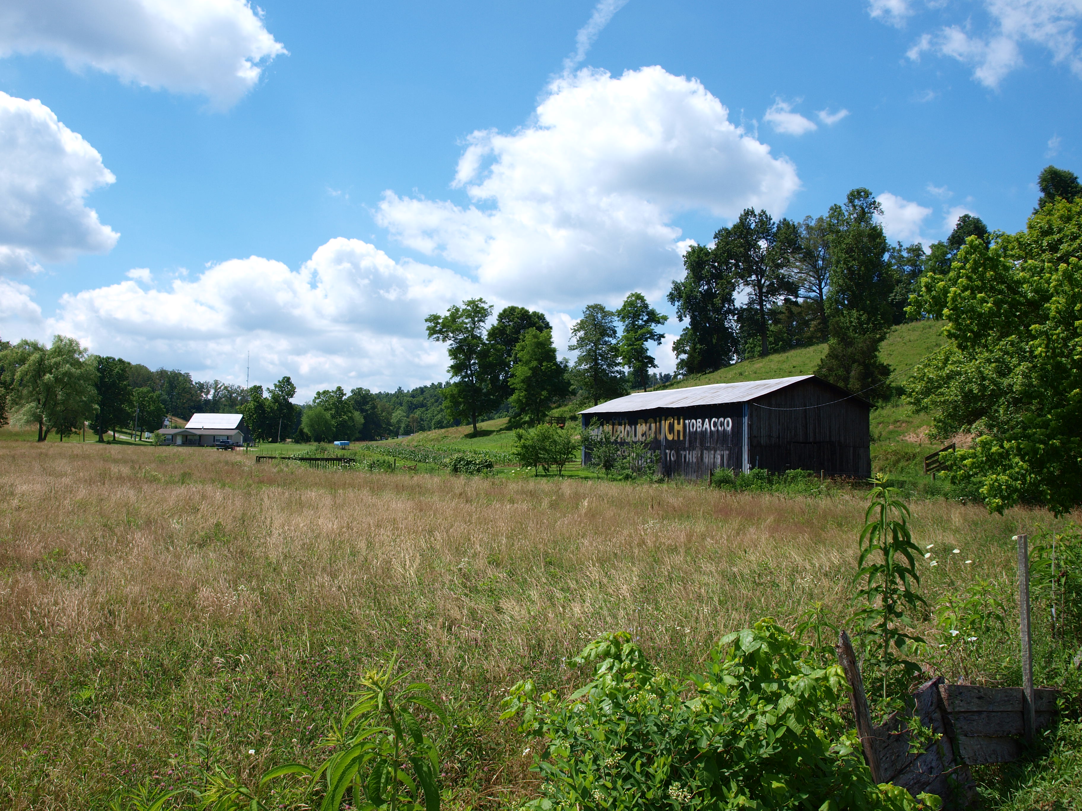
Aden Railroad Bridge
MPB 17-22-02, Carter County, Kentucky

6-6-15 089

Carter Caves State Resort Park

Carter Caves State Resort Park
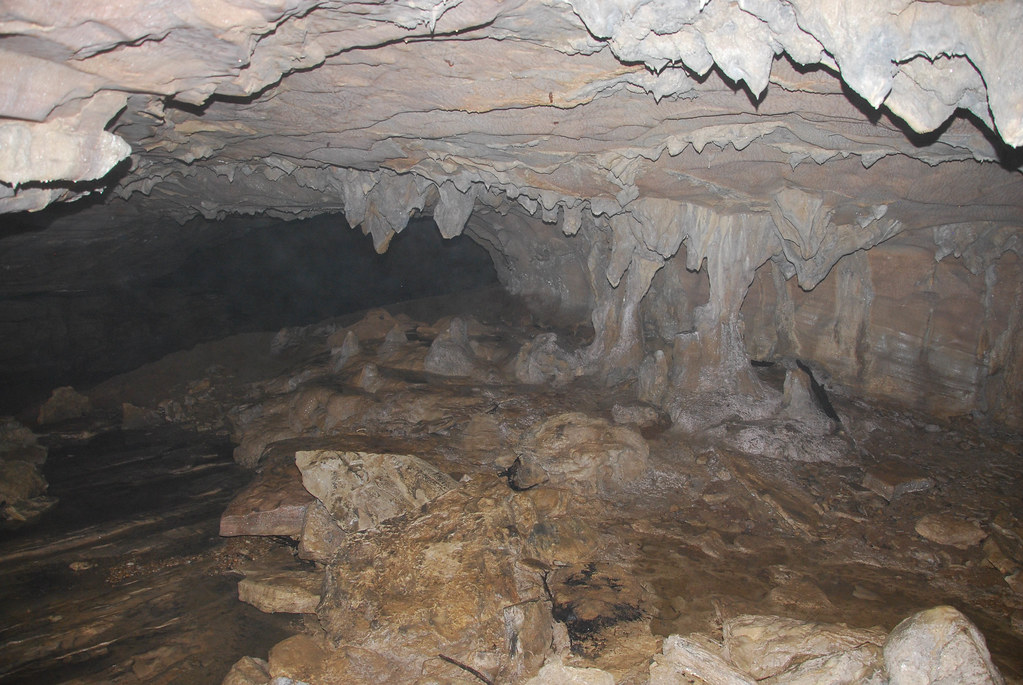
Carter Caves State Resort Park
6-6-15 081

6-6-15 080

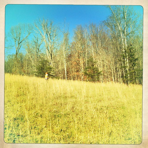
Sellers Airfield
Topographic Map of KY-7, Grayson, KY, USA
Find elevation by address:

Places near KY-7, Grayson, KY, USA:
537 Houatter Rd
904 Rattlesnake Ridge Rd
44 Smith Branch Rd, Grayson, KY, USA
Carter County
Aden Rd, Olive Hill, KY, USA
Grayson Lake State Park
325 Dudley Ridge
US-60, Olive Hill, KY, USA
6344 Us-60
Carter Caves State Resort Park
504 Volunteer Fire Department
Old U.S. 60, Olive Hill, KY, USA
Blevins Road
108 Simmons Loop
Elliott County
KY-, Sandy Hook, KY, USA
KY-2, Grayson, KY, USA
Tarkiln Creek Road
Olive Hill
1163 Erwin Ridge Rd
Recent Searches:
- Elevation of Corso Fratelli Cairoli, 35, Macerata MC, Italy
- Elevation of Tallevast Rd, Sarasota, FL, USA
- Elevation of 4th St E, Sonoma, CA, USA
- Elevation of Black Hollow Rd, Pennsdale, PA, USA
- Elevation of Oakland Ave, Williamsport, PA, USA
- Elevation of Pedrógão Grande, Portugal
- Elevation of Klee Dr, Martinsburg, WV, USA
- Elevation of Via Roma, Pieranica CR, Italy
- Elevation of Tavkvetili Mountain, Georgia
- Elevation of Hartfords Bluff Cir, Mt Pleasant, SC, USA