Elevation of Elliott County, KY, USA
Location: United States > Kentucky >
Longitude: -83.122007
Latitude: 38.1575088
Elevation: 268m / 879feet
Barometric Pressure: 98KPa
Elevation Map:
Satellite Map:
Related Photos:

Police Checkpoint

Sellers Airfield Panorama

The View, again...

The View

The Old Swimmin' Hole

Aden Railroad Bridge

Sellers Airfield

Steagall Cemetary - Lost Hills Rd

Word Challenge 43- butterfly

Tree Swallow

Spicebush Swallowtail

Brown-headed Cowbird

Word Challenge 19- Butterflies

dove season

in the woods v2
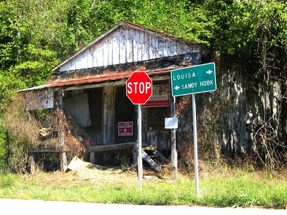
Near Sandy Hook, Kentucky

I Found Your Boat

The Clack Mountain String Band

Grahn Firebrick Plant Office

2013: last breath
Topographic Map of Elliott County, KY, USA
Find elevation by address:

Places in Elliott County, KY, USA:
Sandy Hook
Webbville
KY-7, West Liberty, KY, USA
Turkey Branch Road
Tarkiln Creek Road
Patrick Hollow
Places near Elliott County, KY, USA:
108 Simmons Loop
Blevins Road
504 Volunteer Fire Department
Mobley Street
Sandy Hook
Patrick Hollow
325 Dudley Ridge
KY-7, West Liberty, KY, USA
Grayson Lake State Park
Tarkiln Creek Road
2071 Trent Ridge Rd
State Hwy, Olive Hill, KY, USA
Turkey Branch Road
4907 Ky-7
Turkey Branch Road
904 Rattlesnake Ridge Rd
537 Houatter Rd
Spanglin
Conn Rd, Morehead, KY, USA
KY-, Sandy Hook, KY, USA
Recent Searches:
- Elevation of Corso Fratelli Cairoli, 35, Macerata MC, Italy
- Elevation of Tallevast Rd, Sarasota, FL, USA
- Elevation of 4th St E, Sonoma, CA, USA
- Elevation of Black Hollow Rd, Pennsdale, PA, USA
- Elevation of Oakland Ave, Williamsport, PA, USA
- Elevation of Pedrógão Grande, Portugal
- Elevation of Klee Dr, Martinsburg, WV, USA
- Elevation of Via Roma, Pieranica CR, Italy
- Elevation of Tavkvetili Mountain, Georgia
- Elevation of Hartfords Bluff Cir, Mt Pleasant, SC, USA