Elevation of Turkey Branch Road, Turkey Branch Rd, West Liberty, KY, USA
Location: United States > Kentucky > Elliott County >
Longitude: -83.199565
Latitude: 38.0659772
Elevation: 268m / 879feet
Barometric Pressure: 98KPa
Elevation Map:
Satellite Map:
Related Photos:

Police Checkpoint

The Old Swimmin' Hole

Cascade At Blaze, Kentucky_4303

Cascade at Blaze, Kentucky_4301

Wrigley Falls_4289
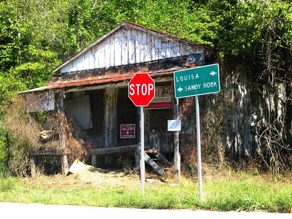
Near Sandy Hook, Kentucky

I Found Your Boat

2013: last breath

Gravity Is a Harsh Mistress

Better Off
Topographic Map of Turkey Branch Road, Turkey Branch Rd, West Liberty, KY, USA
Find elevation by address:

Places near Turkey Branch Road, Turkey Branch Rd, West Liberty, KY, USA:
4907 Ky-7
Turkey Branch Road
KY-7, West Liberty, KY, USA
Spanglin
11610 Ky-7
Sandy Hook
Mobley Street
KY-7, West Liberty, KY, USA
9116 State Hwy 711
2071 Trent Ridge Rd
Conn Rd, Morehead, KY, USA
Patrick Hollow
Elliott County
108 Simmons Loop
130 Withrow Mountain Rd
Blevins Road
330 Withrow Mountain Rd
1605 Rosedale Rd
State Hwy, Olive Hill, KY, USA
81 Hemlock Ln
Recent Searches:
- Elevation of Corso Fratelli Cairoli, 35, Macerata MC, Italy
- Elevation of Tallevast Rd, Sarasota, FL, USA
- Elevation of 4th St E, Sonoma, CA, USA
- Elevation of Black Hollow Rd, Pennsdale, PA, USA
- Elevation of Oakland Ave, Williamsport, PA, USA
- Elevation of Pedrógão Grande, Portugal
- Elevation of Klee Dr, Martinsburg, WV, USA
- Elevation of Via Roma, Pieranica CR, Italy
- Elevation of Tavkvetili Mountain, Georgia
- Elevation of Hartfords Bluff Cir, Mt Pleasant, SC, USA