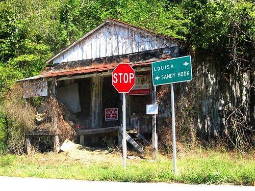
Elevation of Simmons Loop, Sandy Hook, KY, USA
Location: United States > Kentucky > Elliott County > Sandy Hook >
Longitude: -83.103497
Latitude: 38.1382621
Elevation: 260m / 853feet
Barometric Pressure: 98KPa
Related Photos:
Topographic Map of Simmons Loop, Sandy Hook, KY, USA
Find elevation by address:

Places near Simmons Loop, Sandy Hook, KY, USA:
Blevins Road
Elliott County
Mobley Street
Sandy Hook
Patrick Hollow
504 Volunteer Fire Department
KY-7, West Liberty, KY, USA
Grayson Lake State Park
325 Dudley Ridge
Turkey Branch Road
4907 Ky-7
KY-, Sandy Hook, KY, USA
Turkey Branch Road
2071 Trent Ridge Rd
904 Rattlesnake Ridge Rd
Tarkiln Creek Road
State Hwy, Olive Hill, KY, USA
537 Houatter Rd
Spanglin
Conn Rd, Morehead, KY, USA
Recent Searches:
- Elevation of Corso Fratelli Cairoli, 35, Macerata MC, Italy
- Elevation of Tallevast Rd, Sarasota, FL, USA
- Elevation of 4th St E, Sonoma, CA, USA
- Elevation of Black Hollow Rd, Pennsdale, PA, USA
- Elevation of Oakland Ave, Williamsport, PA, USA
- Elevation of Pedrógão Grande, Portugal
- Elevation of Klee Dr, Martinsburg, WV, USA
- Elevation of Via Roma, Pieranica CR, Italy
- Elevation of Tavkvetili Mountain, Georgia
- Elevation of Hartfords Bluff Cir, Mt Pleasant, SC, USA


