Elevation of Volunteer Fire Department, State Hwy, Olive Hill, KY, USA
Location: United States > Kentucky > Carter County > Olive Hill >
Longitude: -83.136709
Latitude: 38.216014
Elevation: 338m / 1109feet
Barometric Pressure: 97KPa
Elevation Map:
Satellite Map:
Related Photos:
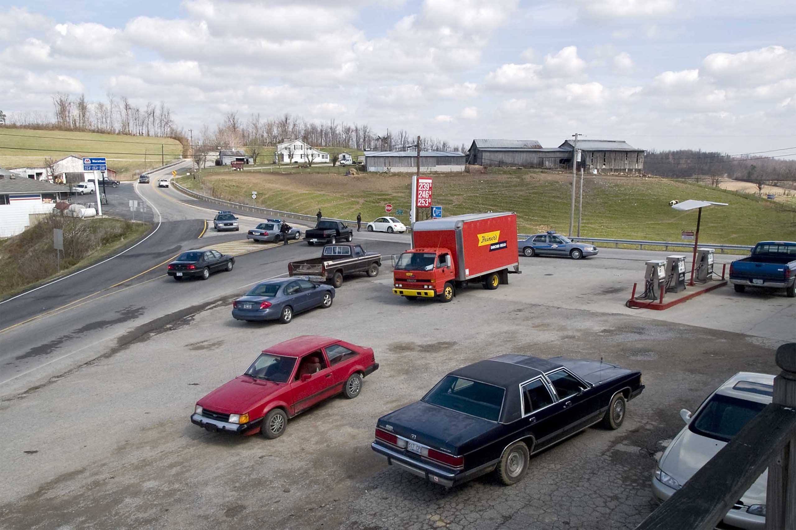
Police Checkpoint
US 60 - Original Alignment - Olive Hill, KY - DSC01095

Sellers Airfield Panorama

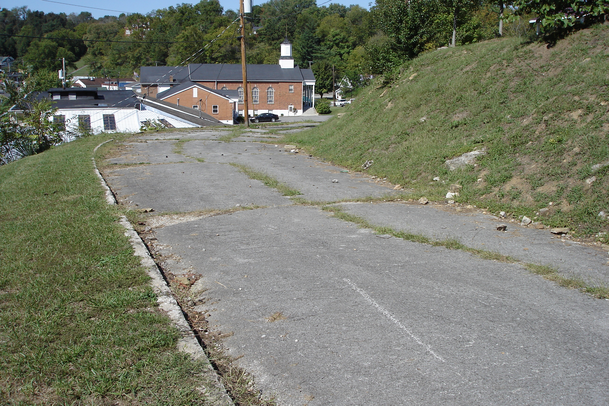
The View, again...

The View
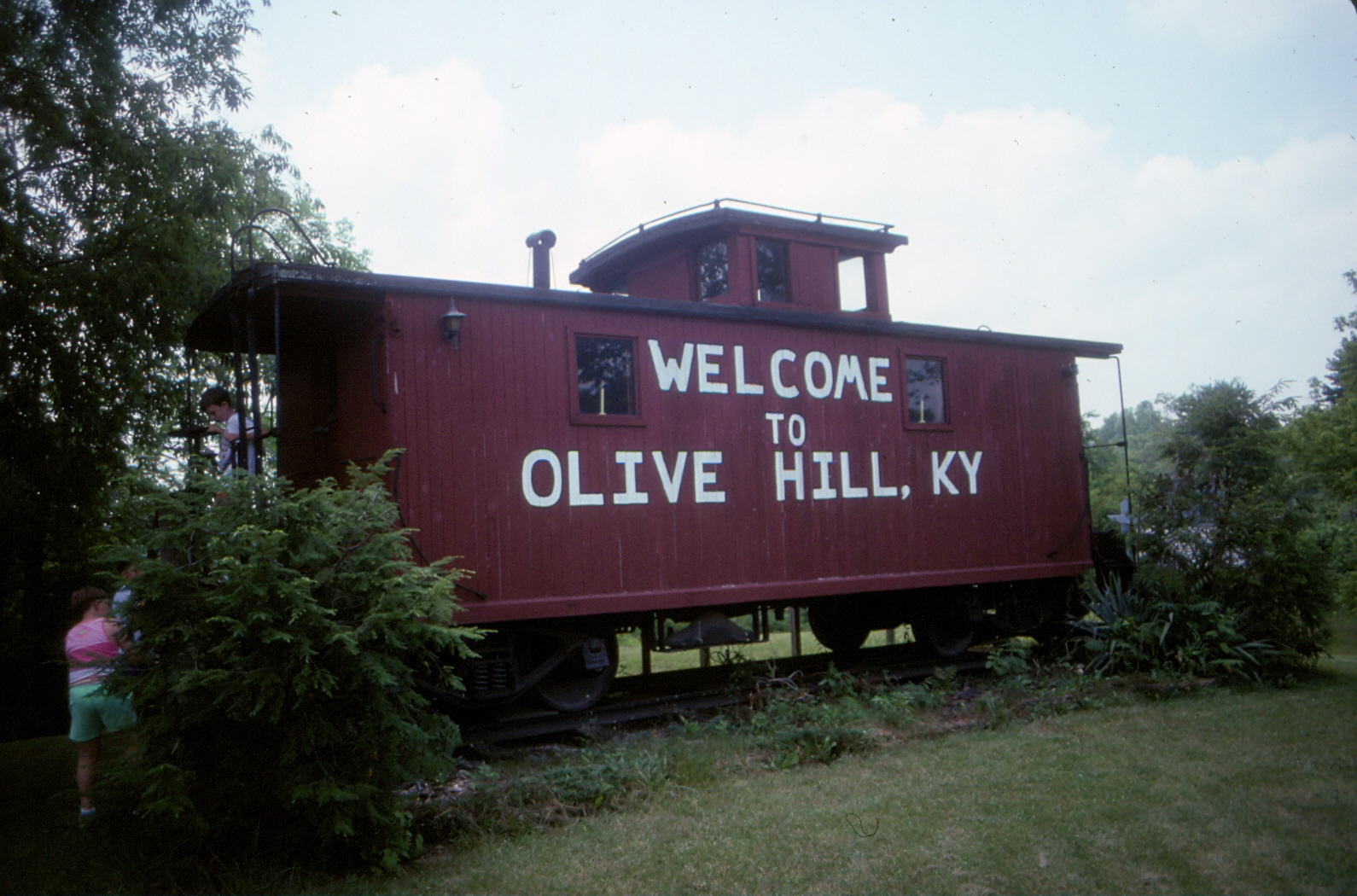
Chesapeake & Ohio Caboose - Olive Hill, KY - 9210A-30
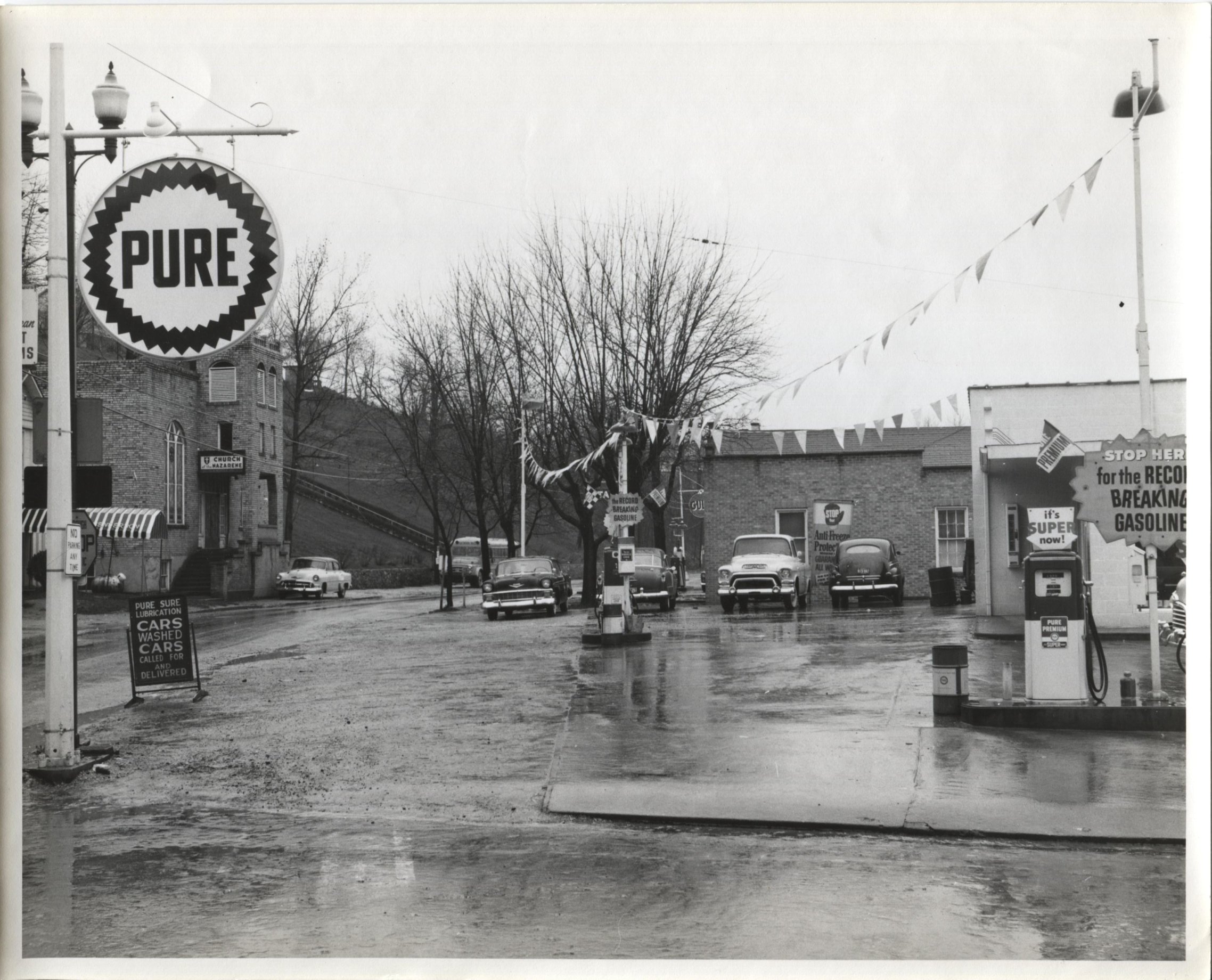
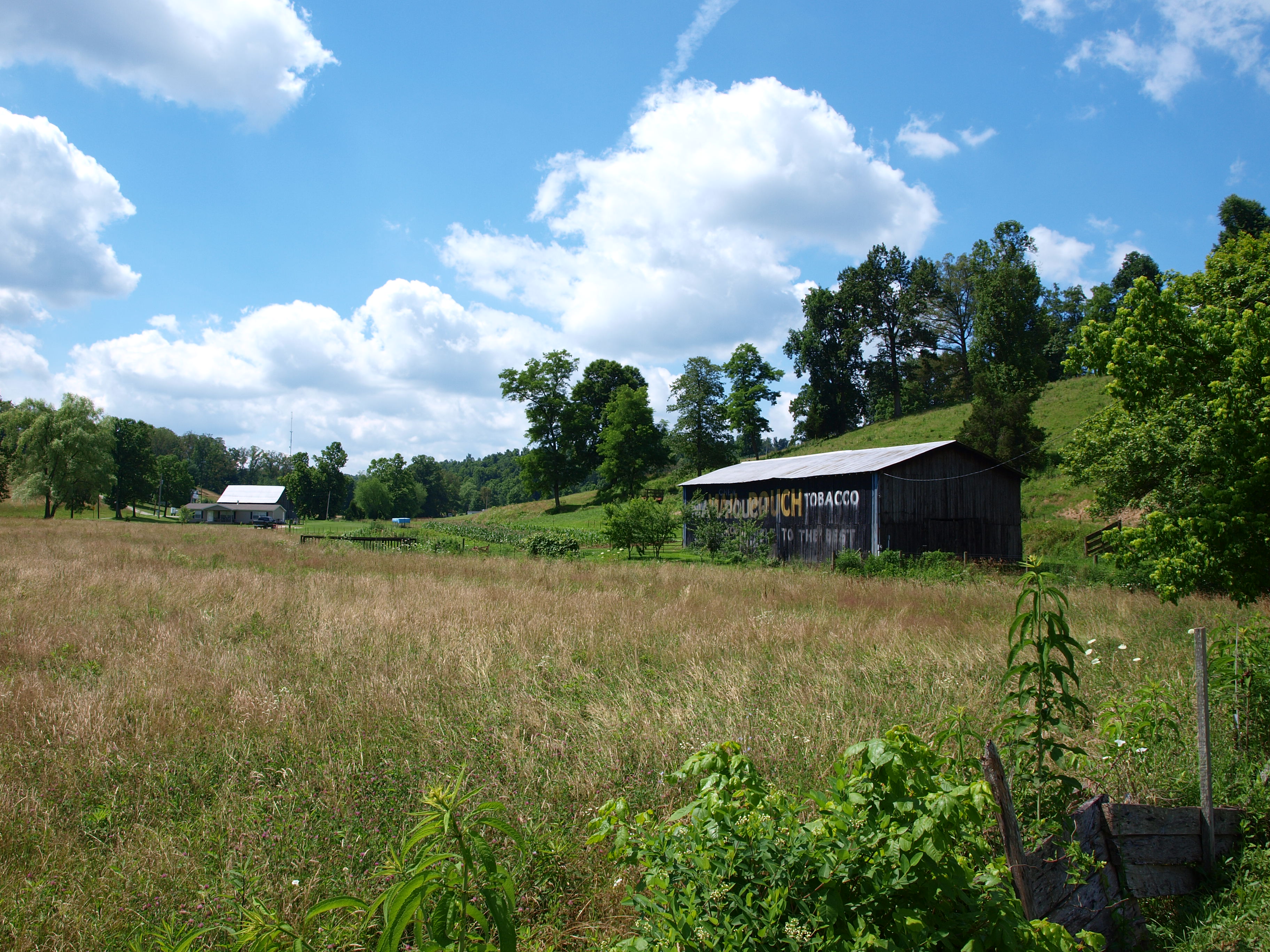
Jack Waggoner Pure Oil Station - Olive Hill KY
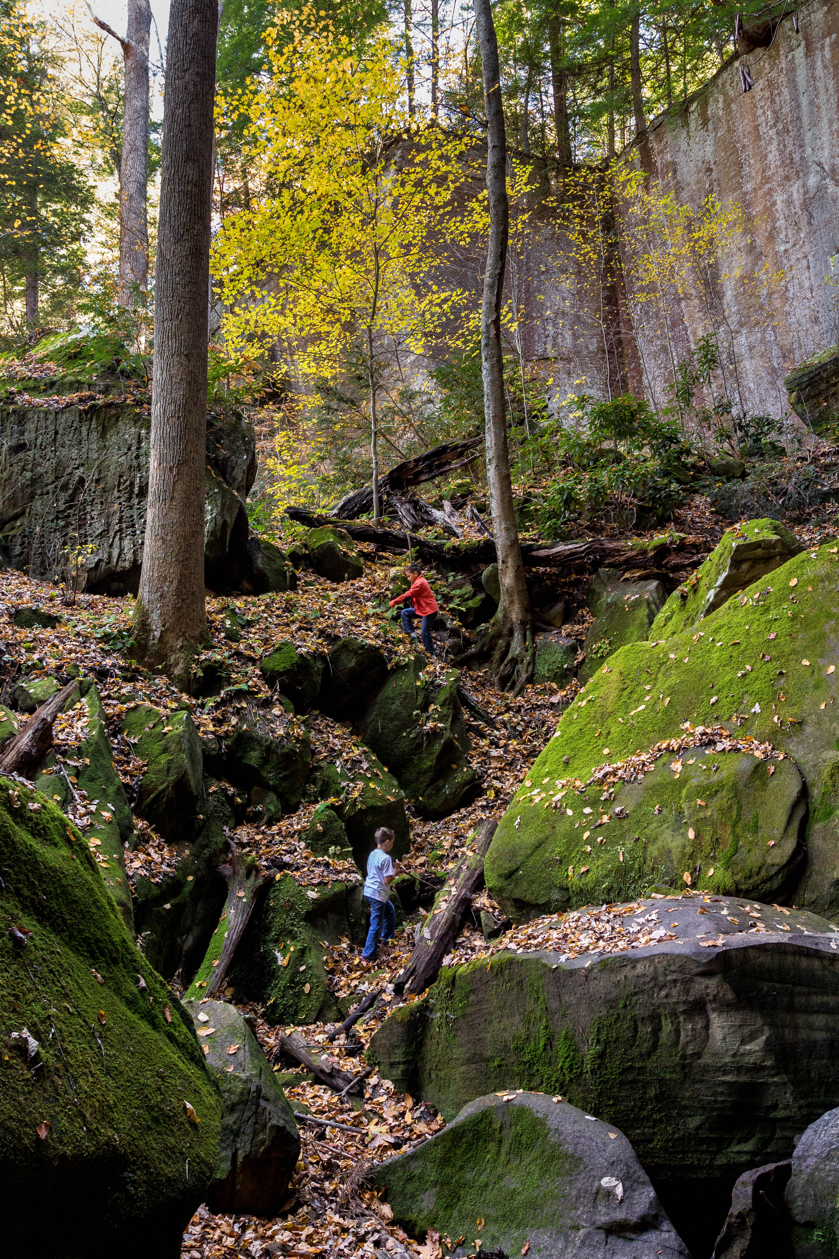
Playing In Gorge

Clifty Creek Falls on Grayson Lake, KY
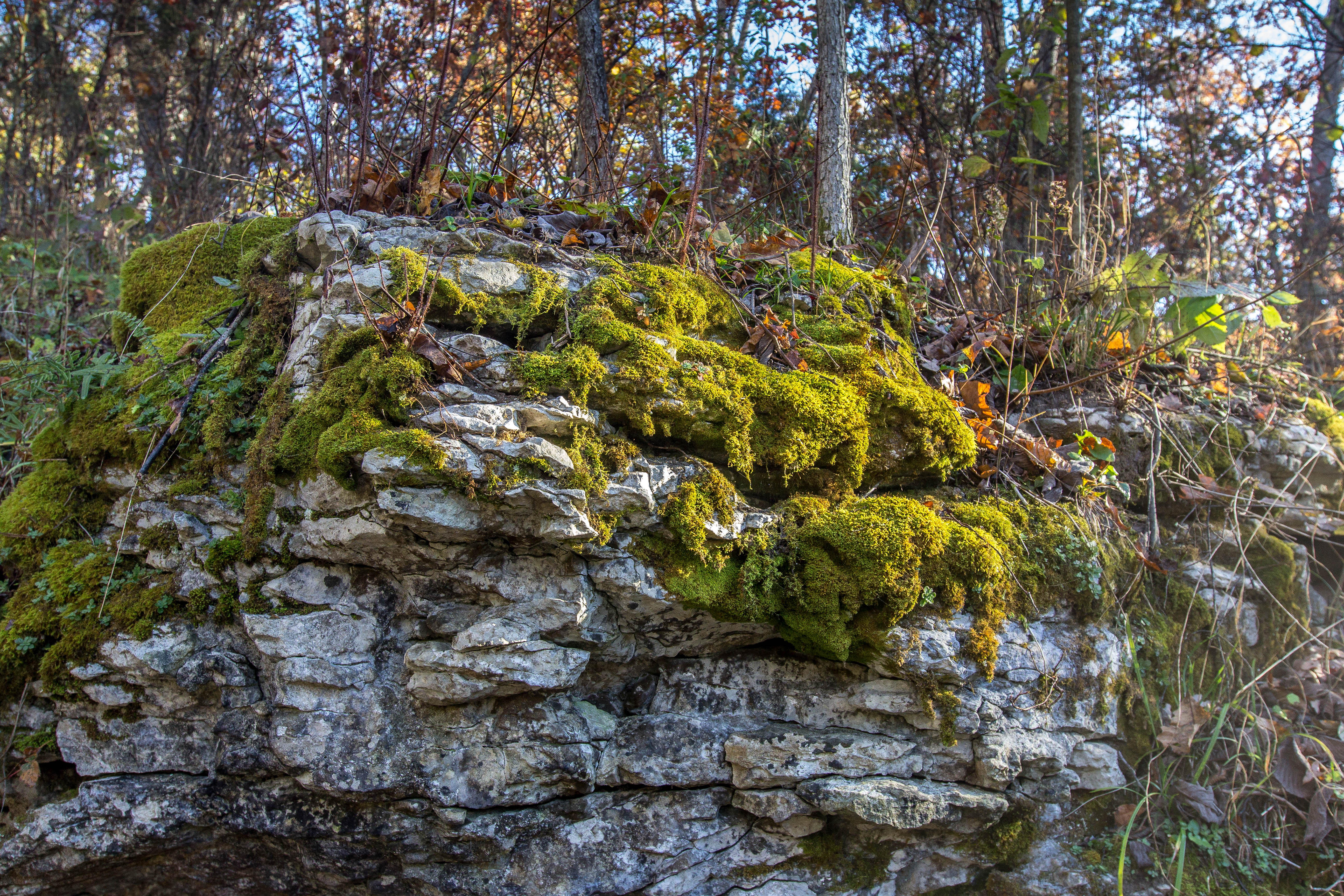
Waterfall Moss

Small waterfall at Grayson Lake.

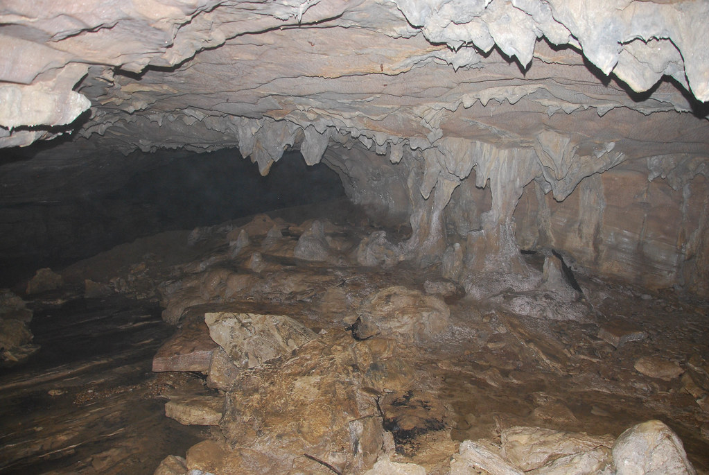
A spelunking we shall go.

Aden Railroad Bridge
The Old Swimmin' Hole
MPB 17-22-02, Carter County, Kentucky

Carter Caves State Resort Park

Carter Caves State Resort Park
Carter Caves State Resort Park

To Wolf Gap West Virginia

Sellers Airfield

Steagall Cemetary - Lost Hills Rd
Topographic Map of Volunteer Fire Department, State Hwy, Olive Hill, KY, USA
Find elevation by address:

Places near Volunteer Fire Department, State Hwy, Olive Hill, KY, USA:
Tarkiln Creek Road
Elliott County
325 Dudley Ridge
Blevins Road
108 Simmons Loop
Olive Hill
Old U.S. 60, Olive Hill, KY, USA
6344 Us-60
State Hwy, Olive Hill, KY, USA
US-60, Olive Hill, KY, USA
Aden Rd, Olive Hill, KY, USA
Cr-, Olive Hill, KY, USA
Grayson Lake State Park
904 Rattlesnake Ridge Rd
Mobley Street
2071 Trent Ridge Rd
537 Houatter Rd
Sandy Hook
US-60, Olive Hill, KY, USA
Carter County
Recent Searches:
- Elevation of Corso Fratelli Cairoli, 35, Macerata MC, Italy
- Elevation of Tallevast Rd, Sarasota, FL, USA
- Elevation of 4th St E, Sonoma, CA, USA
- Elevation of Black Hollow Rd, Pennsdale, PA, USA
- Elevation of Oakland Ave, Williamsport, PA, USA
- Elevation of Pedrógão Grande, Portugal
- Elevation of Klee Dr, Martinsburg, WV, USA
- Elevation of Via Roma, Pieranica CR, Italy
- Elevation of Tavkvetili Mountain, Georgia
- Elevation of Hartfords Bluff Cir, Mt Pleasant, SC, USA