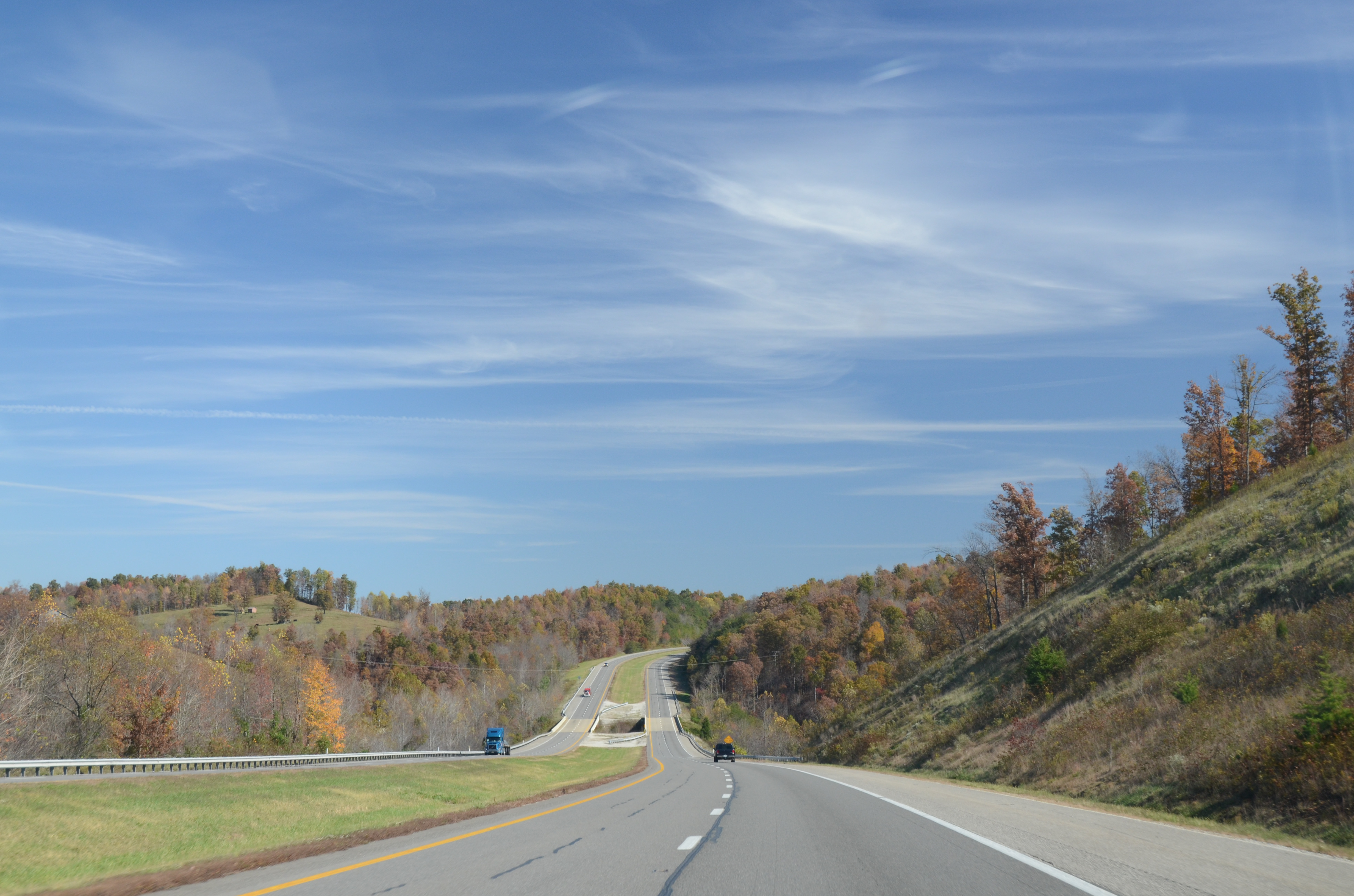
Elevation of Old U.S. 60, Olive Hill, KY, USA
Location: United States > Kentucky > Carter County > Olive Hill >
Longitude: -83.163587
Latitude: 38.305267
Elevation: 271m / 889feet
Barometric Pressure: 98KPa
Elevation Map:
Satellite Map:
Related Photos:
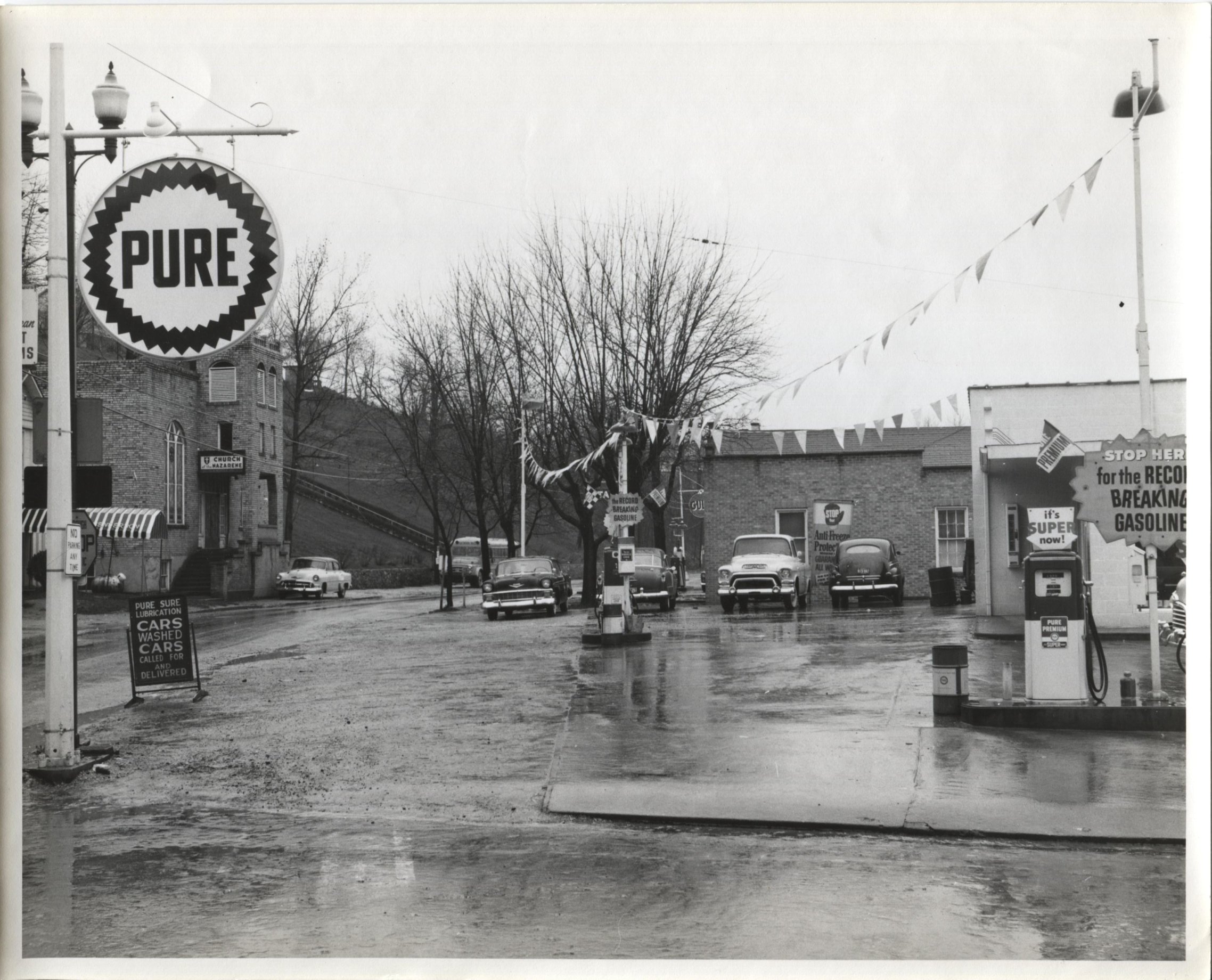
Jack Waggoner Pure Oil Station - Olive Hill KY
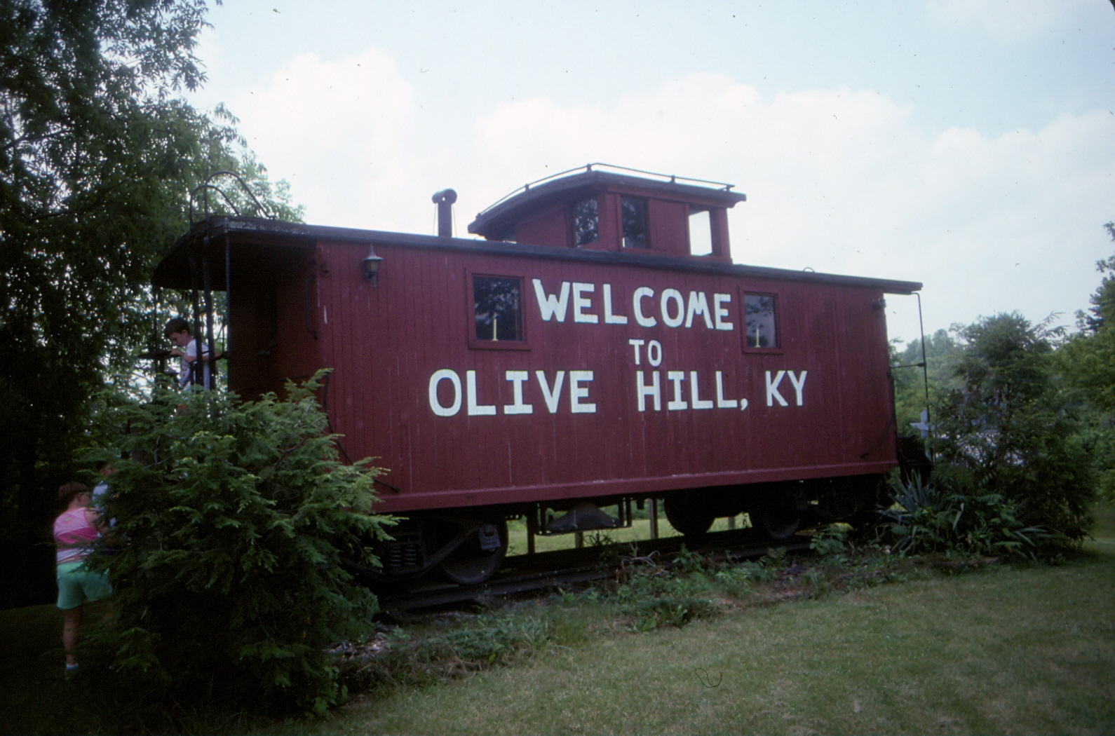
Chesapeake & Ohio Caboose - Olive Hill, KY - 9210A-30
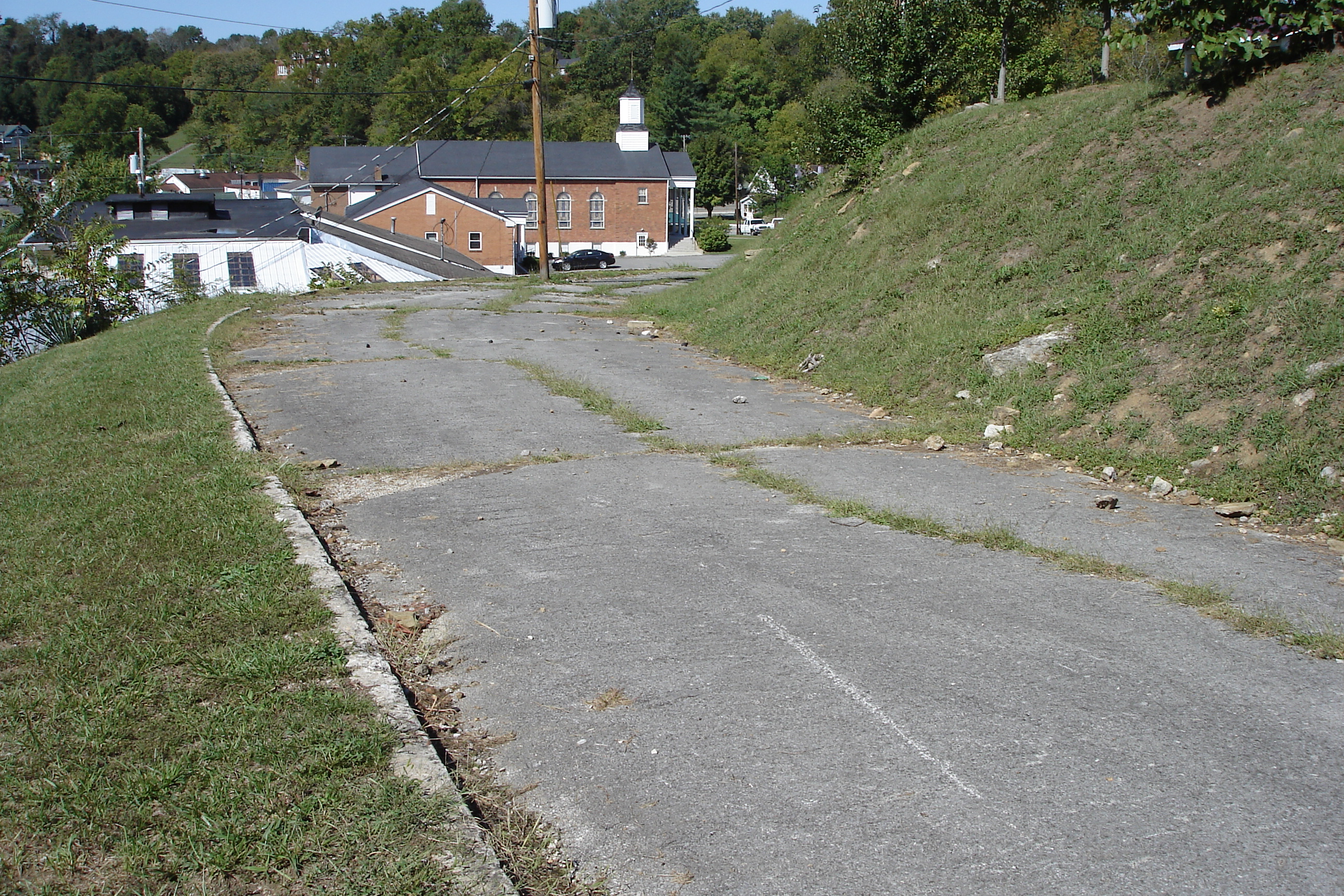
US 60 - Original Alignment - Olive Hill, KY - DSC01095

Sellers Airfield Panorama

The View, again...

The View
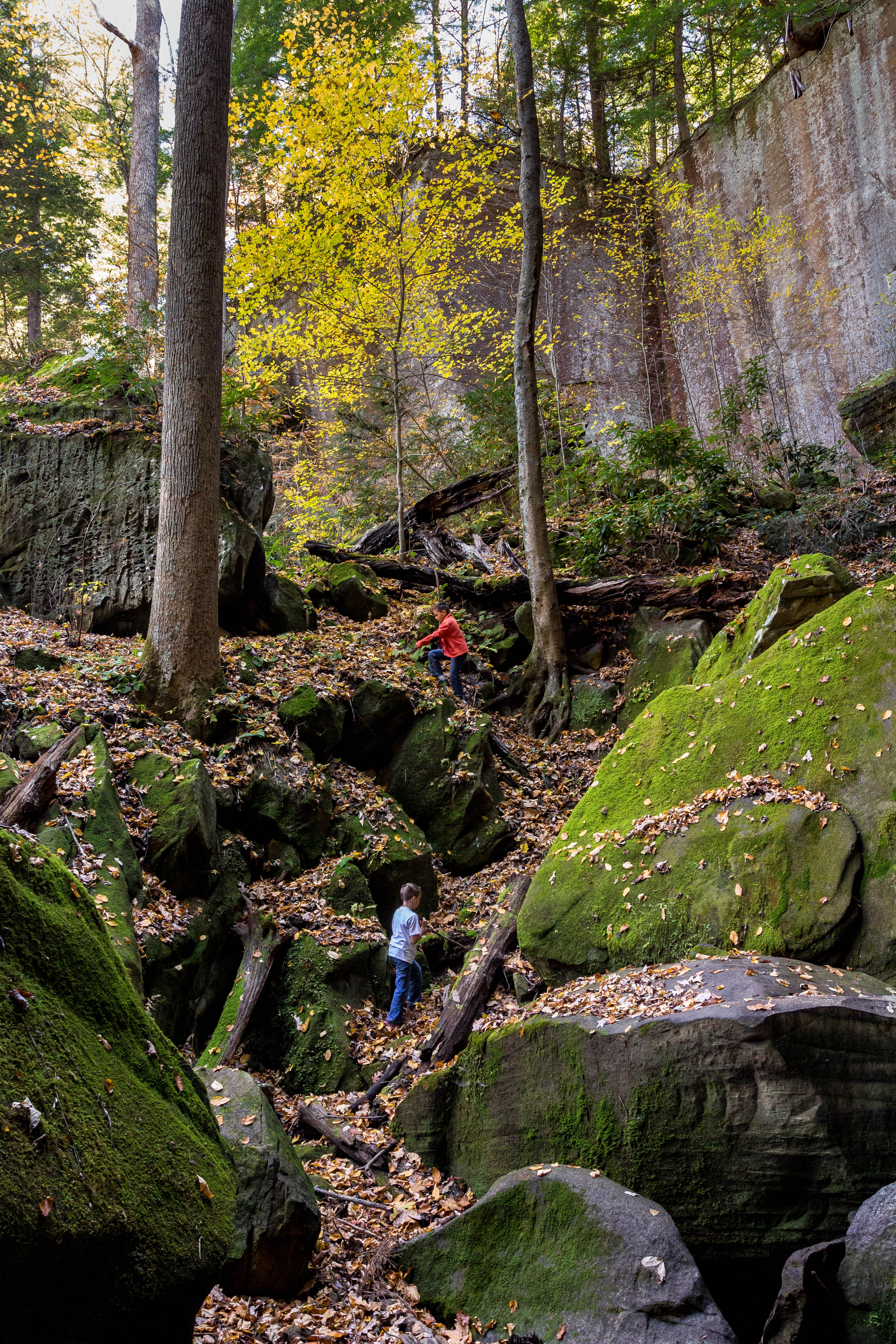
Playing In Gorge

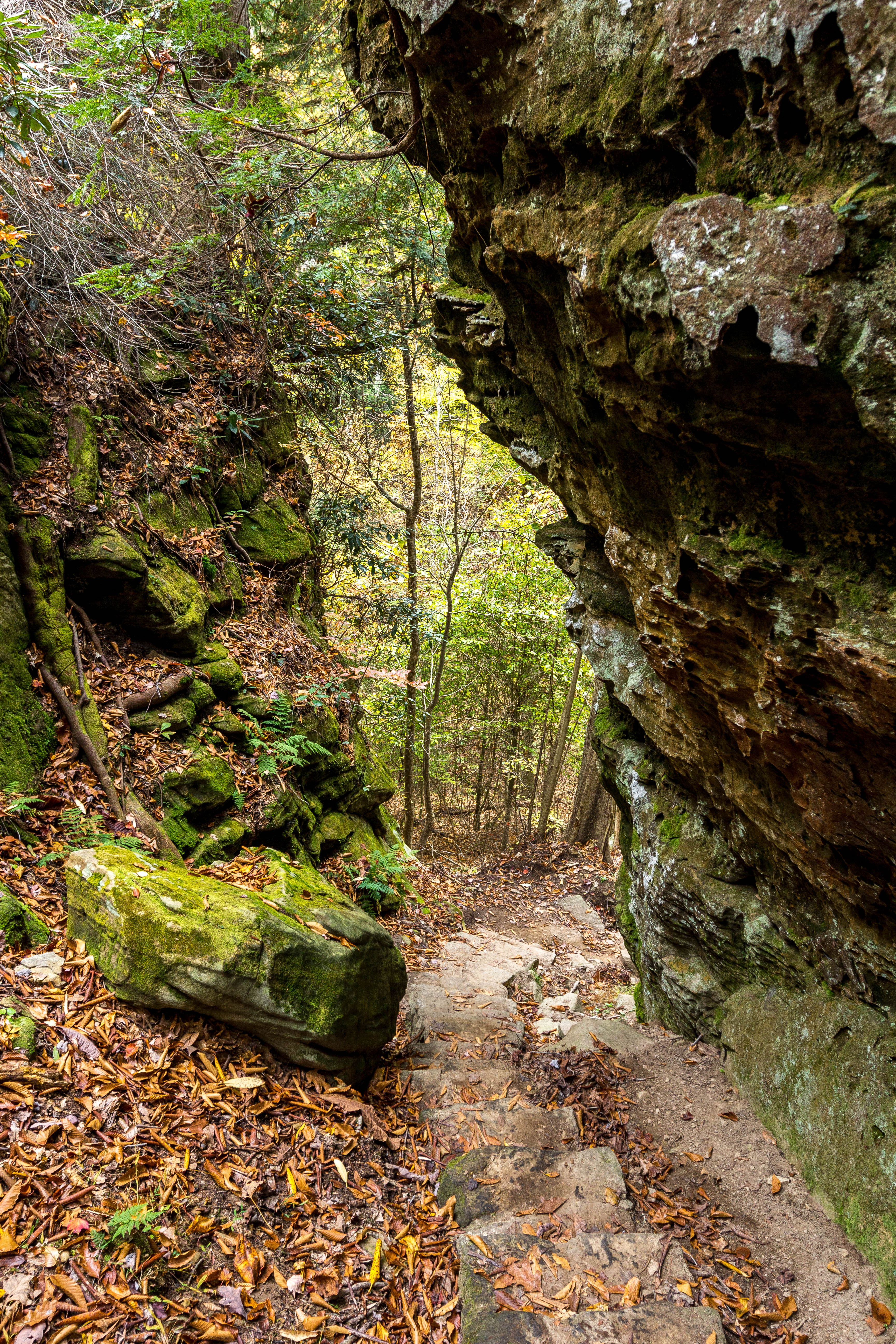
A spelunking we shall go.
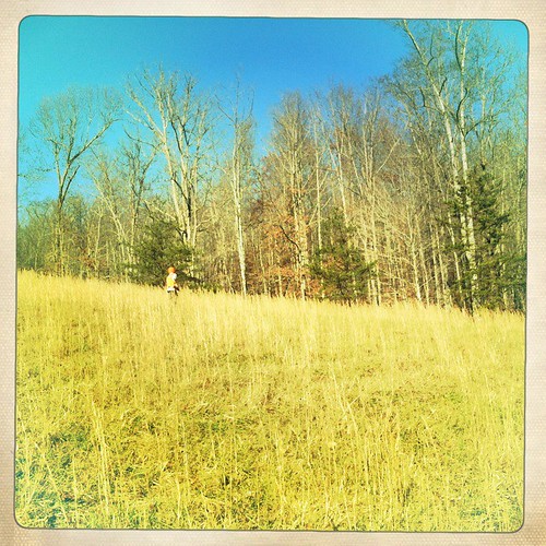
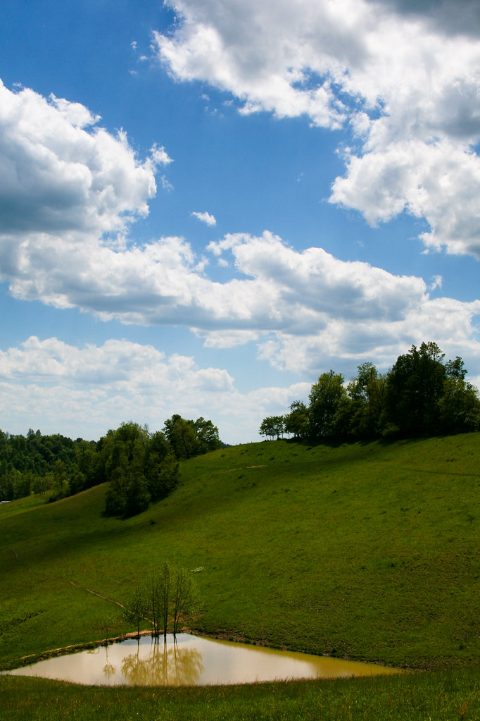
in the field
Two Trees Growing On A Moss Covered Rock
Trail Descends
Waterfall Moss
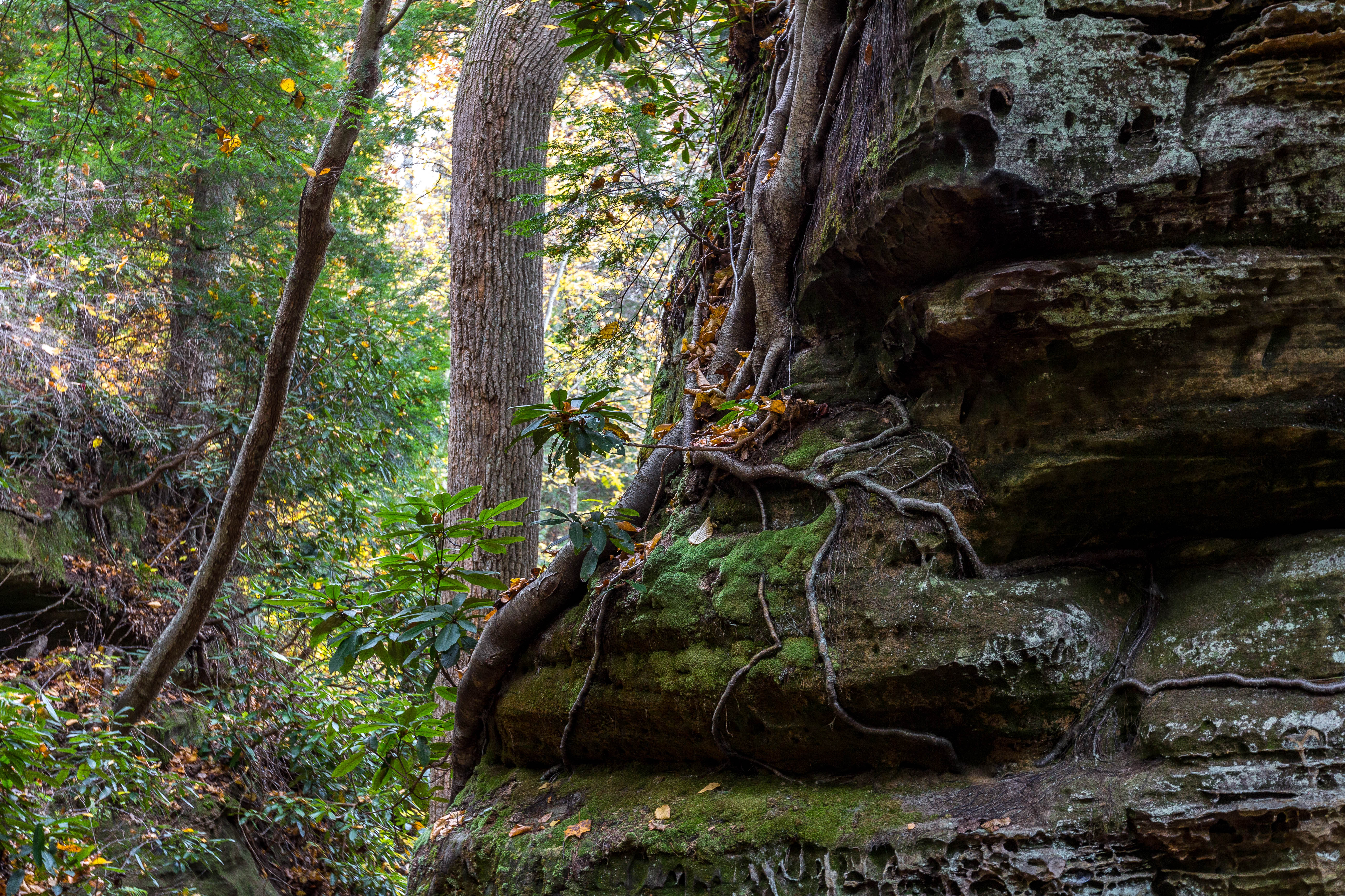
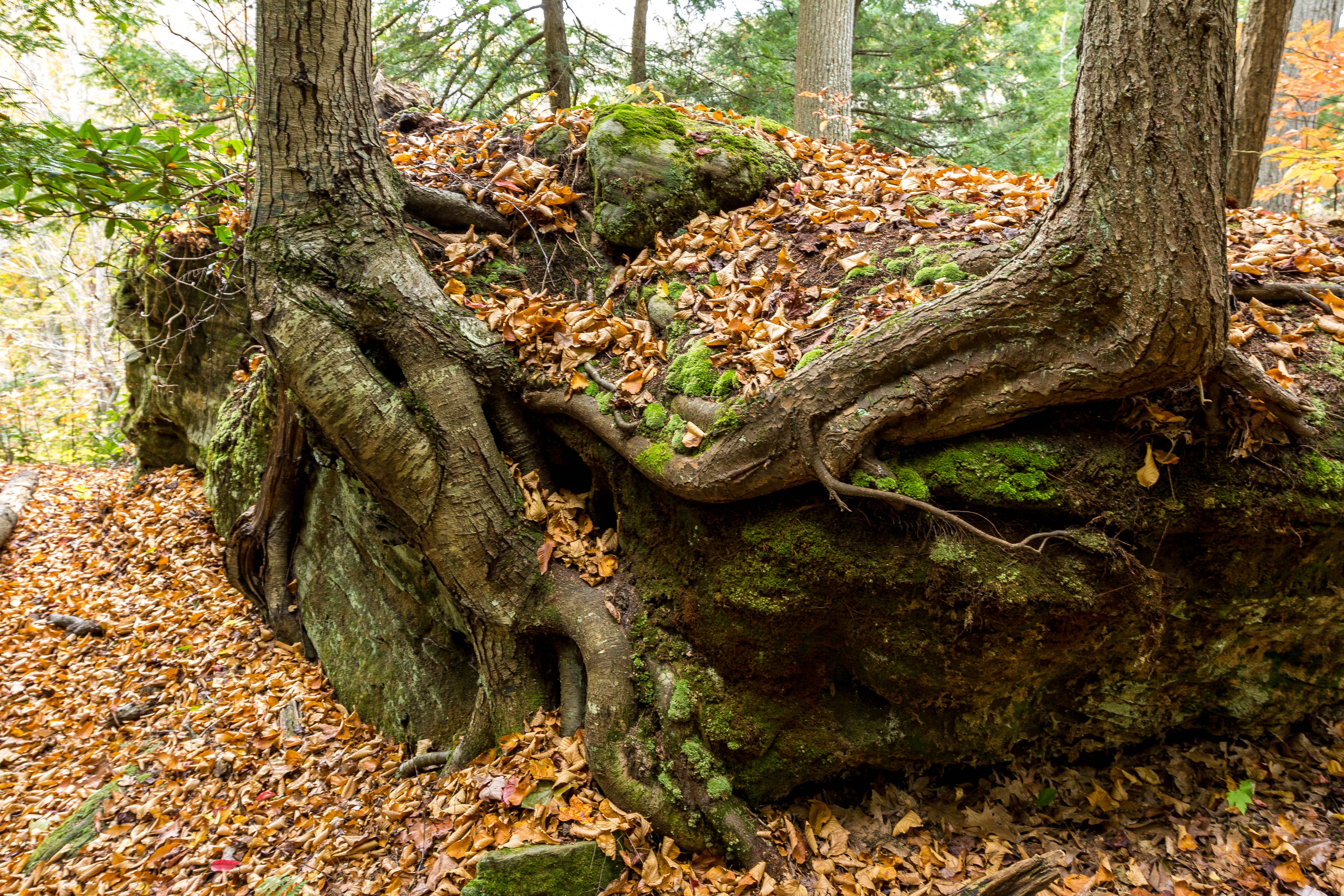
Roots, Rocks, and Moss

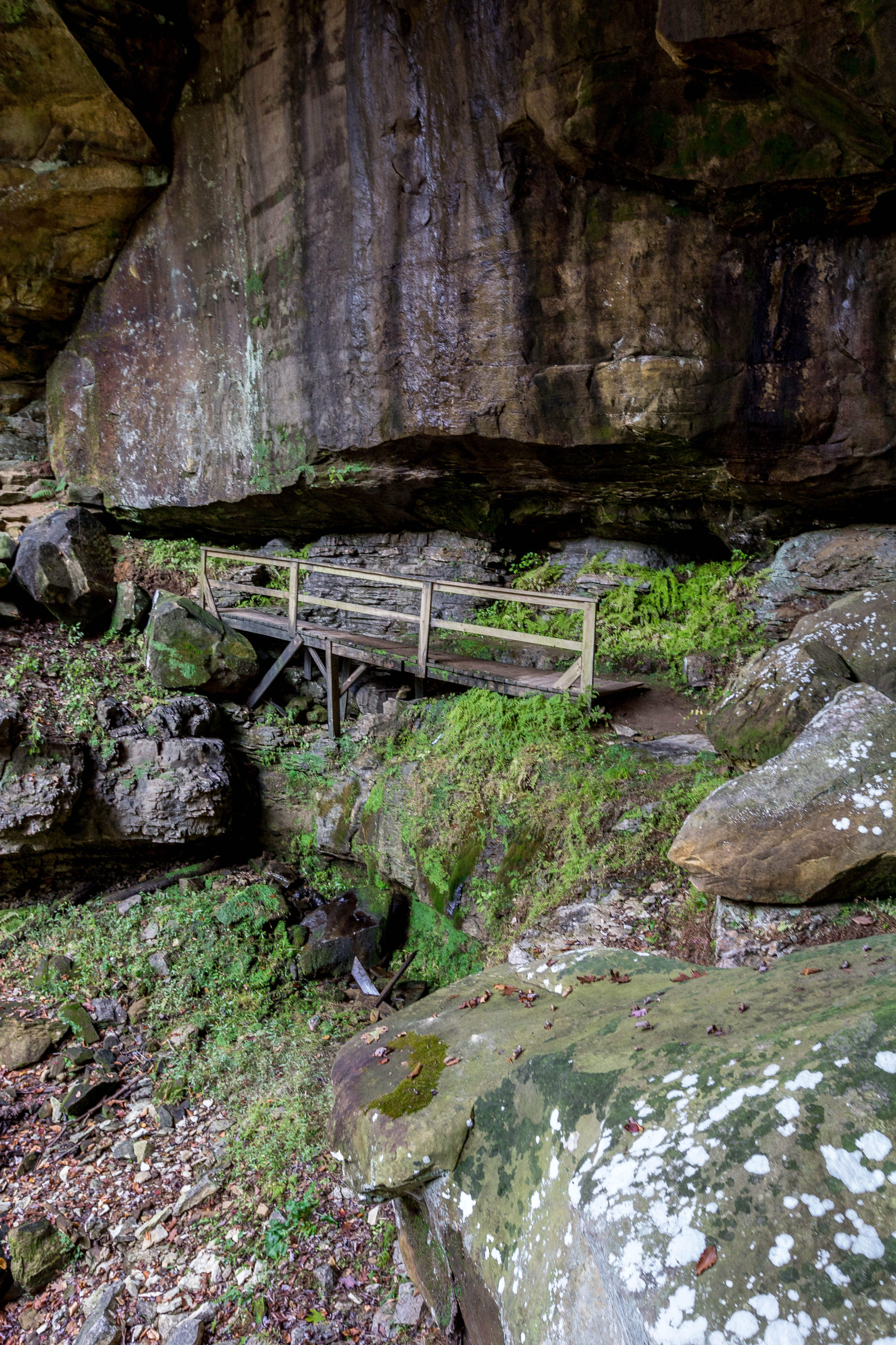
Rickety Bridge

Carter Cave State Park, KY
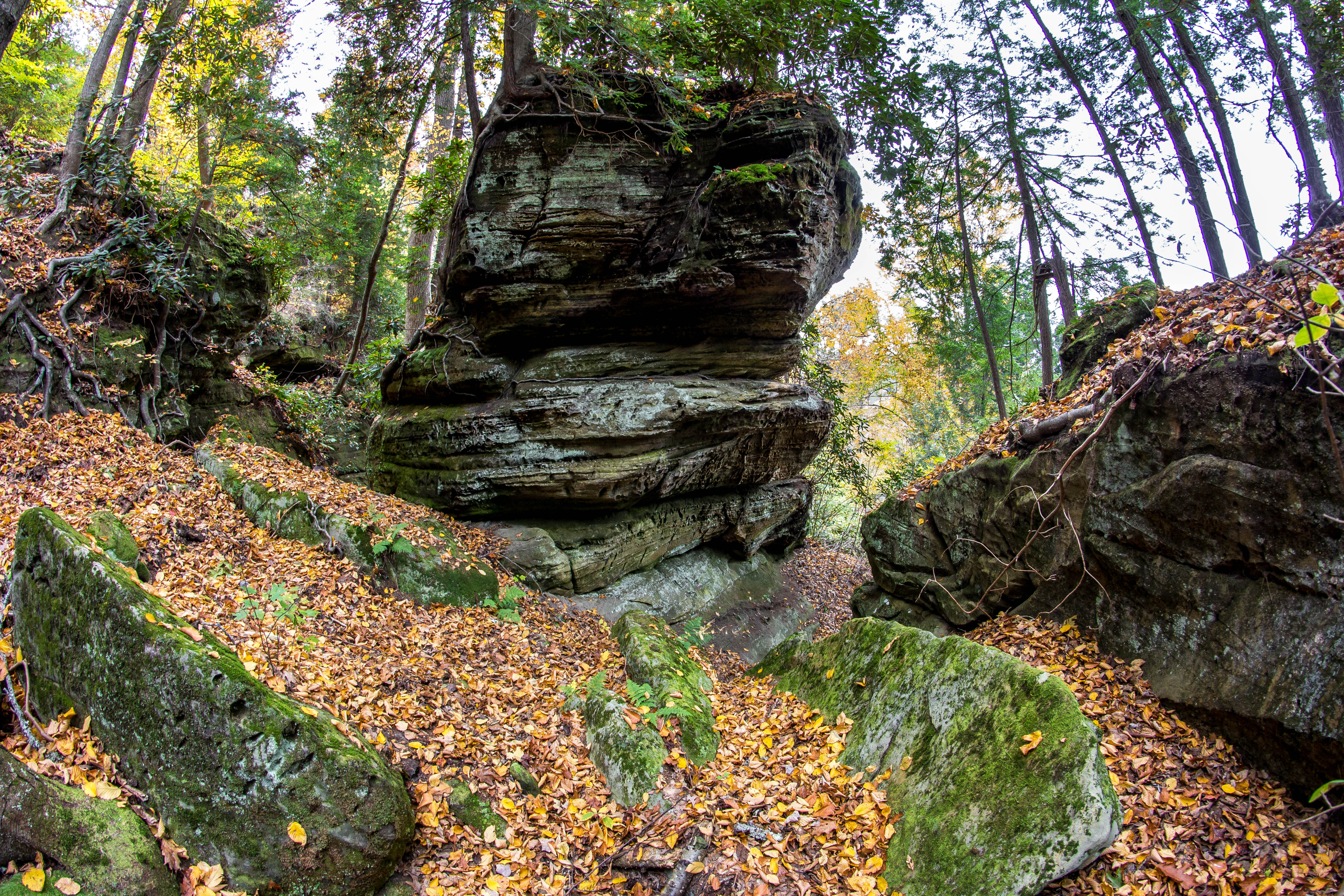
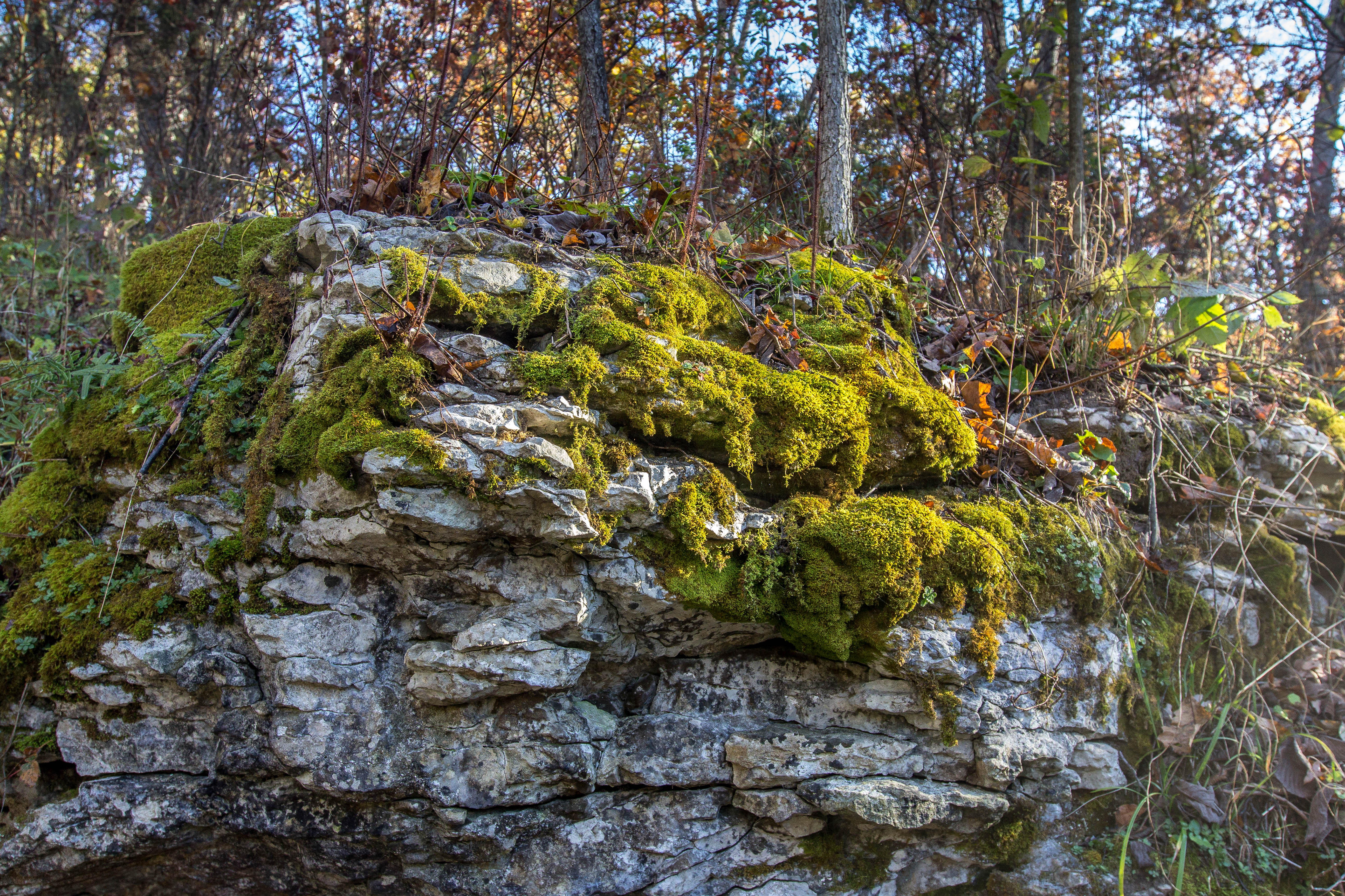
Rock Formations
Fern Bridge
The Old Swimmin' Hole

6-6-15 067

Aden Railroad Bridge
En Route to West Virginia

2012-03-27_Carter Caves 05c Raven Bridge
100-2311
MPB 17-22-02, Carter County, Kentucky
Smokey Bridge 1

6-6-15 076
Topographic Map of Old U.S. 60, Olive Hill, KY, USA
Find elevation by address:

Places near Old U.S. 60, Olive Hill, KY, USA:
Olive Hill
6344 Us-60
Tarkiln Creek Road
Cr-, Olive Hill, KY, USA
US-60, Olive Hill, KY, USA
1163 Erwin Ridge Rd
1163 Erwin Ridge Rd
1163 Erwin Ridge Rd
1163 Erwin Ridge Rd
KY-59, Olive Hill, KY, USA
Carter Caves State Resort Park
US-60, Olive Hill, KY, USA
504 Volunteer Fire Department
2110 Rose Ridge Rd
325 Dudley Ridge
Aden Rd, Olive Hill, KY, USA
Mcglone Creek Road
Carter County
State Hwy, Olive Hill, KY, USA
KY-2, Grayson, KY, USA
Recent Searches:
- Elevation of Corso Fratelli Cairoli, 35, Macerata MC, Italy
- Elevation of Tallevast Rd, Sarasota, FL, USA
- Elevation of 4th St E, Sonoma, CA, USA
- Elevation of Black Hollow Rd, Pennsdale, PA, USA
- Elevation of Oakland Ave, Williamsport, PA, USA
- Elevation of Pedrógão Grande, Portugal
- Elevation of Klee Dr, Martinsburg, WV, USA
- Elevation of Via Roma, Pieranica CR, Italy
- Elevation of Tavkvetili Mountain, Georgia
- Elevation of Hartfords Bluff Cir, Mt Pleasant, SC, USA