Elevation of KY-, Sandy Hook, KY, USA
Location: United States > Kentucky > Elliott County > Sandy Hook >
Longitude: -82.993164
Latitude: 38.0835059
Elevation: 221m / 725feet
Barometric Pressure: 99KPa
Elevation Map:
Satellite Map:
Related Photos:
537-954-21
IMG_0160.jpg

Black-billed Cuckoo
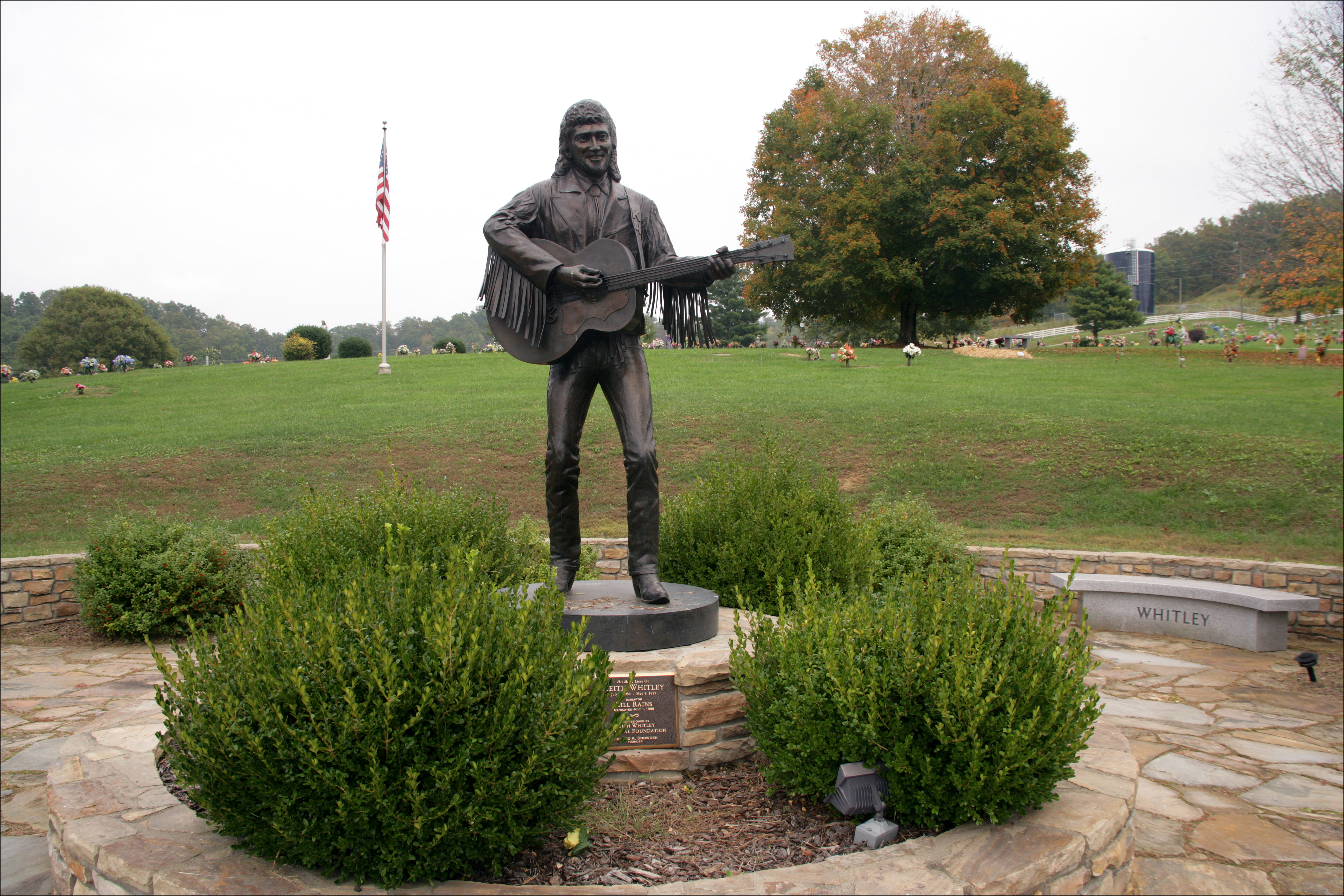
Keith Whitley, Sandy Hook
966-993-01

966-993-02

Word Challenge 43- butterfly

Tree Swallow

Spicebush Swallowtail

Brown-headed Cowbird

Word Challenge 19- Butterflies
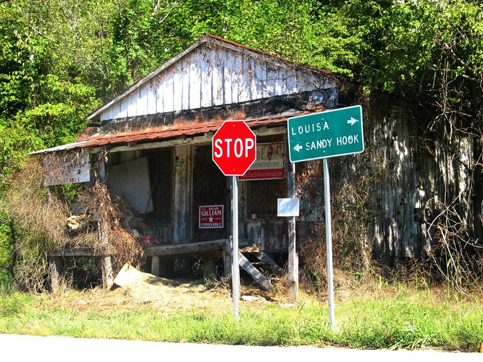
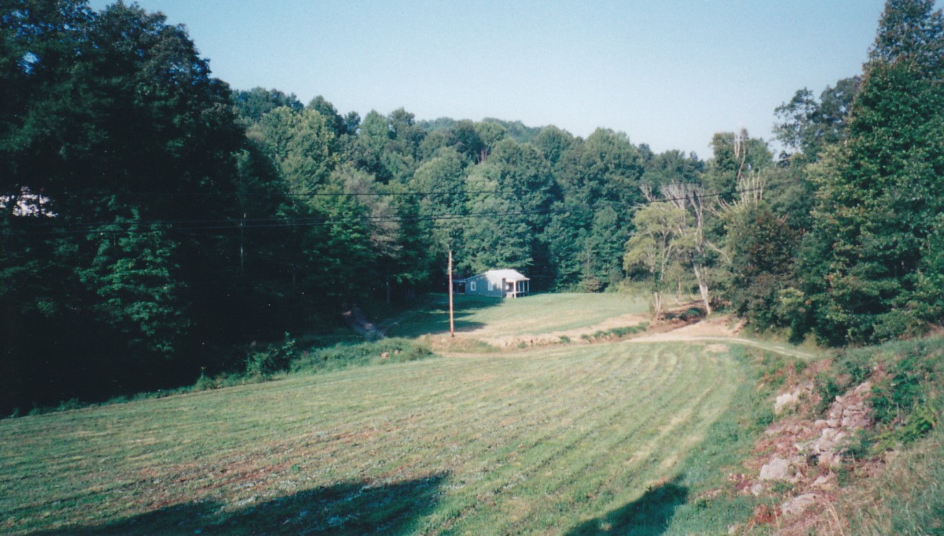
Near Sandy Hook, Kentucky
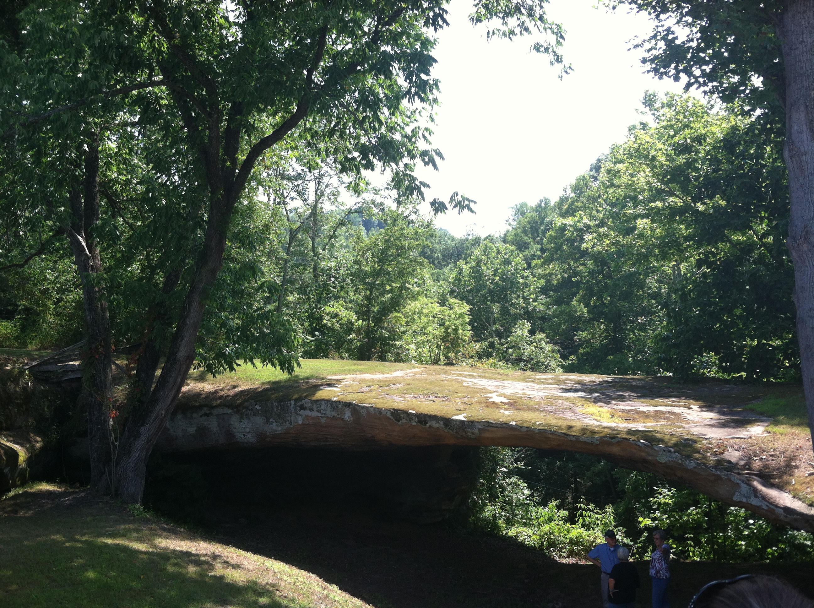
photo The Barn Rock Ky July 19, 2014
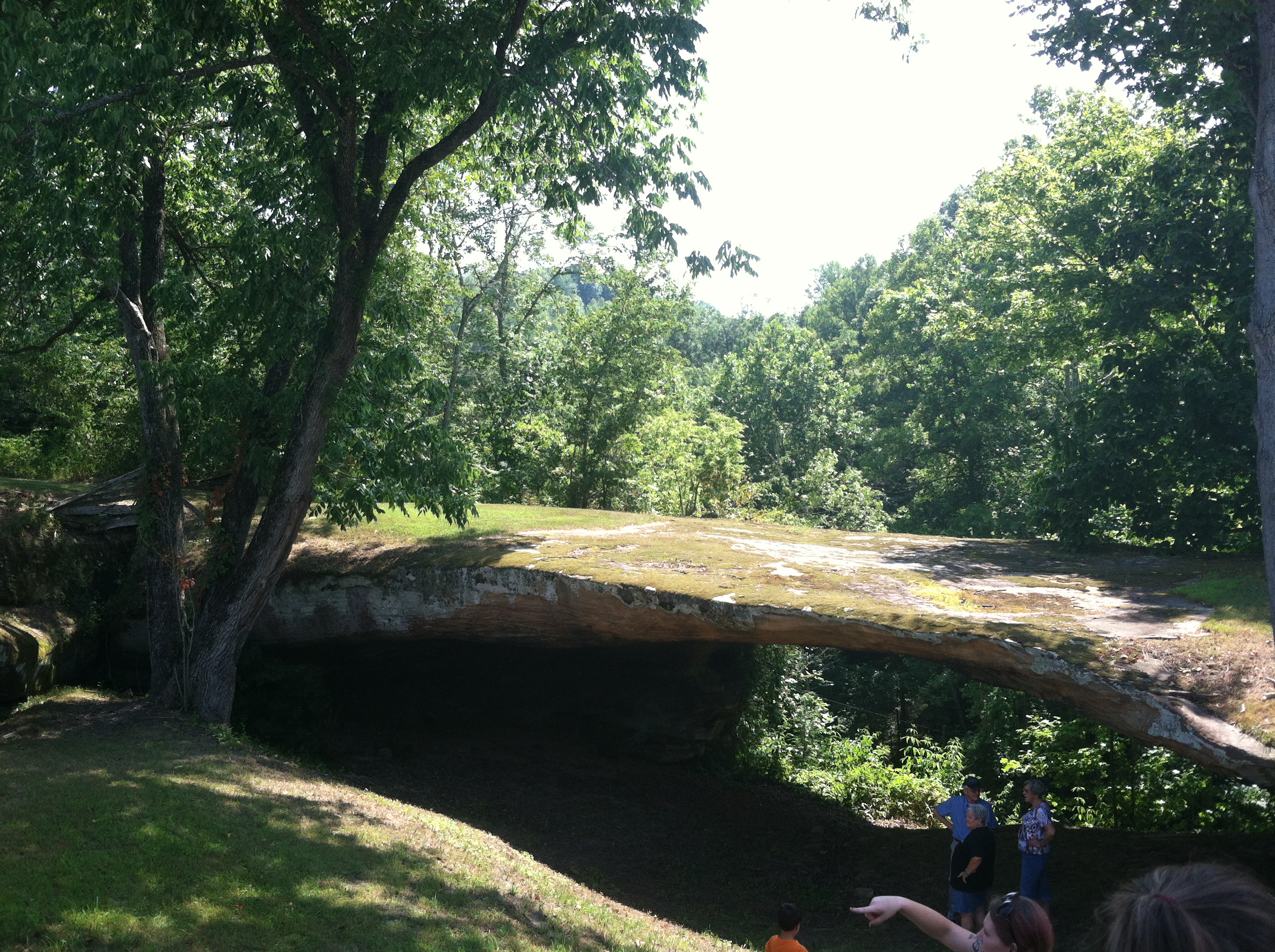
The Barn Rock July 19, 2014
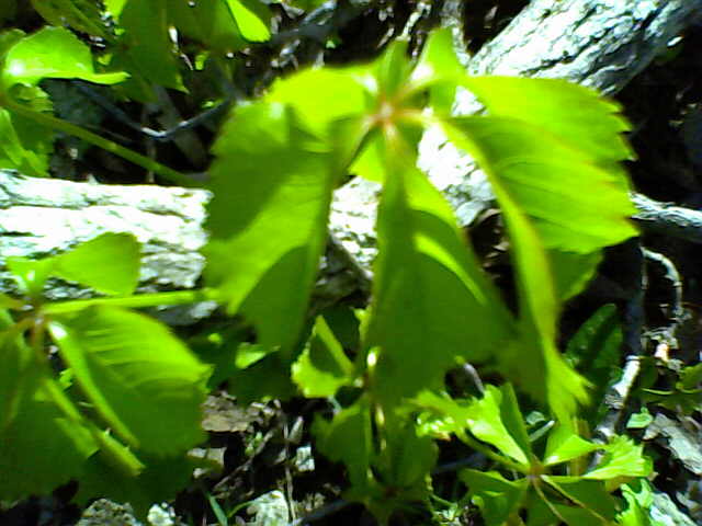
03-05-14_180 (2) Virginia Creeper. Barn Rock Ky
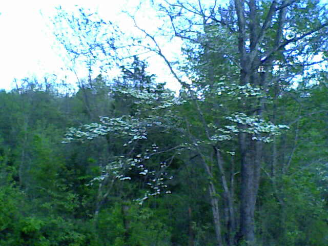
03-05-14_181 Dogwood tree. Barn Rock Ky.

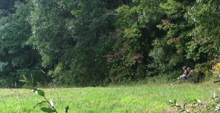
dove season
in the woods v2

Better Off
Topographic Map of KY-, Sandy Hook, KY, USA
Find elevation by address:

Places near KY-, Sandy Hook, KY, USA:
Patrick Hollow
Grayson Lake State Park
Blevins Road
108 Simmons Loop
Sandy Hook
Mobley Street
Elliott County
904 Rattlesnake Ridge Rd
537 Houatter Rd
KY-7, West Liberty, KY, USA
325 Dudley Ridge
504 Volunteer Fire Department
KY-7, Grayson, KY, USA
4907 Ky-7
Turkey Branch Road
Aden Rd, Olive Hill, KY, USA
Turkey Branch Road
Spanglin
Carter County
44 Smith Branch Rd, Grayson, KY, USA
Recent Searches:
- Elevation of Corso Fratelli Cairoli, 35, Macerata MC, Italy
- Elevation of Tallevast Rd, Sarasota, FL, USA
- Elevation of 4th St E, Sonoma, CA, USA
- Elevation of Black Hollow Rd, Pennsdale, PA, USA
- Elevation of Oakland Ave, Williamsport, PA, USA
- Elevation of Pedrógão Grande, Portugal
- Elevation of Klee Dr, Martinsburg, WV, USA
- Elevation of Via Roma, Pieranica CR, Italy
- Elevation of Tavkvetili Mountain, Georgia
- Elevation of Hartfords Bluff Cir, Mt Pleasant, SC, USA