Elevation of Grayson, KY, USA
Location: United States > Kentucky > Carter County >
Longitude: -82.948502
Latitude: 38.3325812
Elevation: 193m / 633feet
Barometric Pressure: 99KPa
Elevation Map:
Satellite Map:
Related Photos:
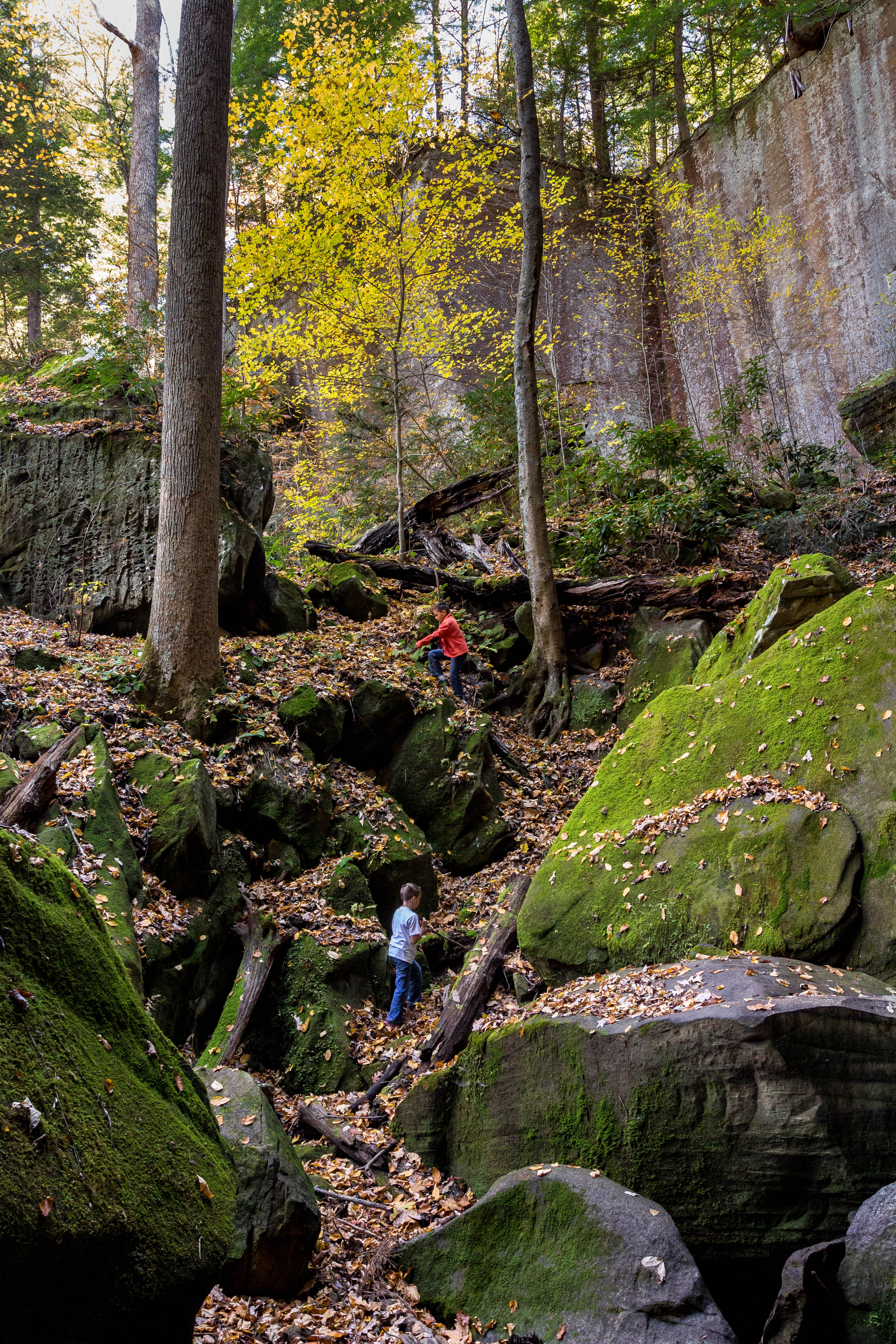
Playing In Gorge

A spelunking we shall go.
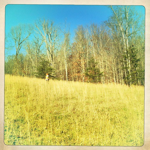
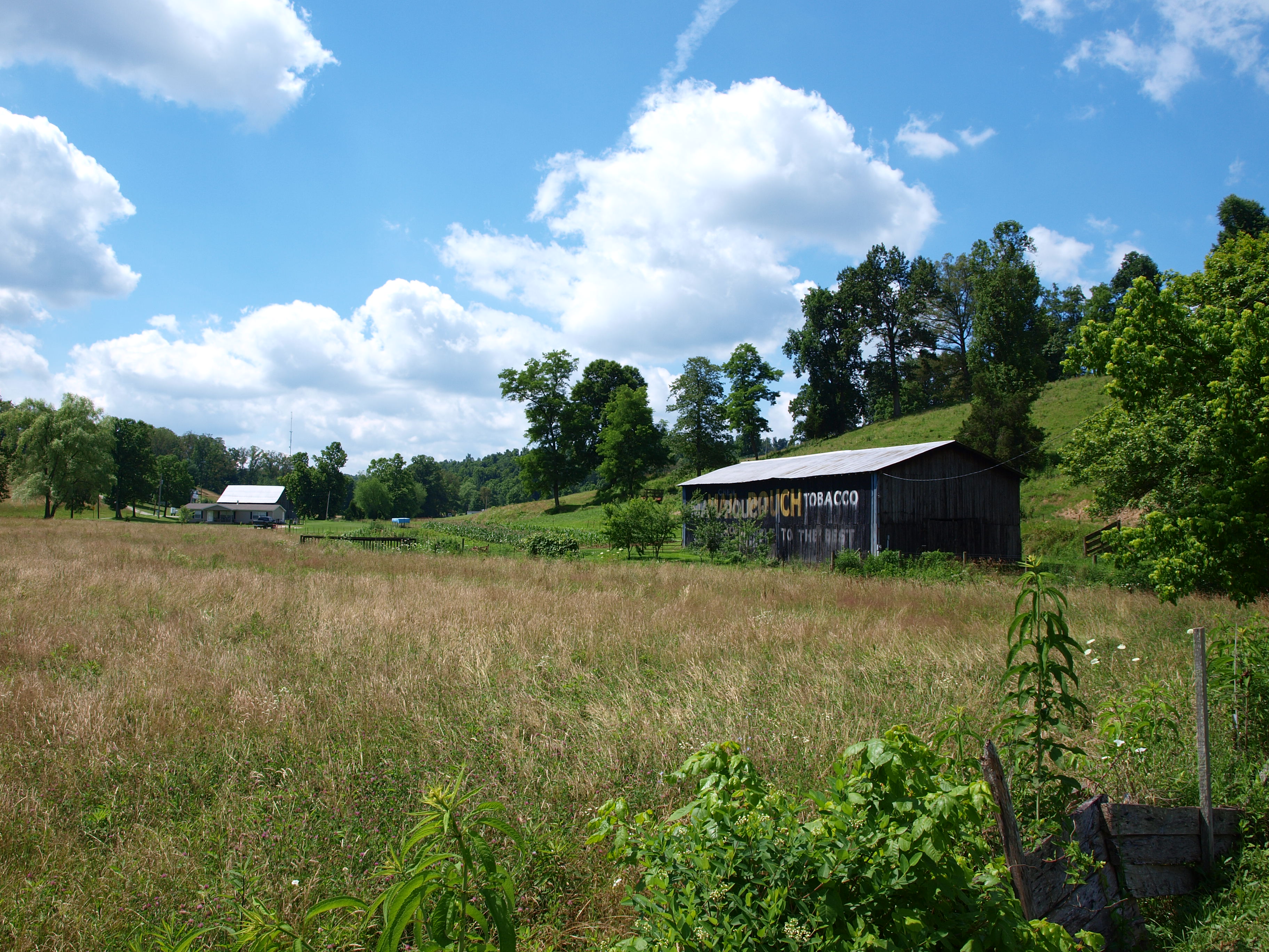
in the field
Two Trees Growing On A Moss Covered Rock
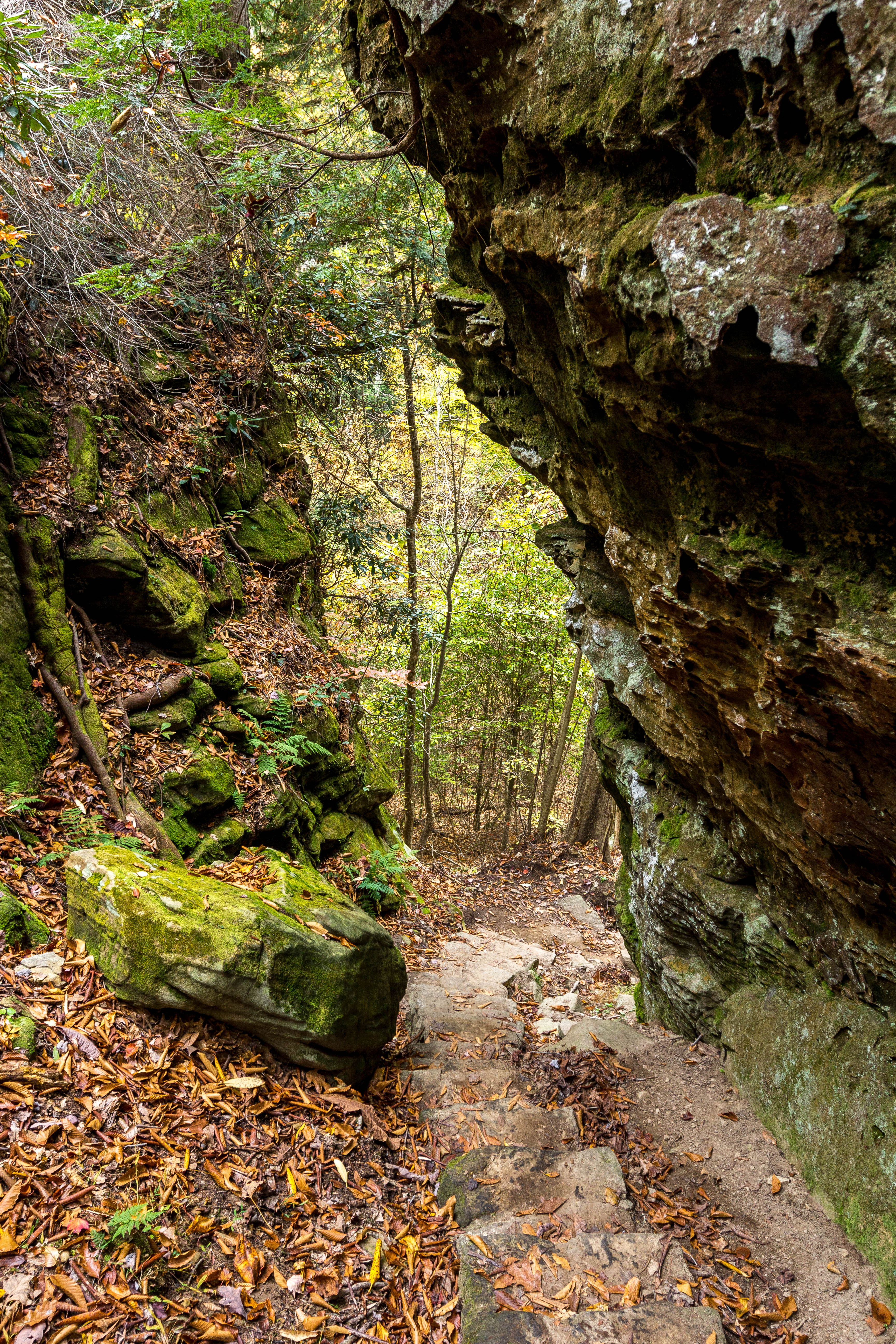
Trail Descends
Waterfall Moss
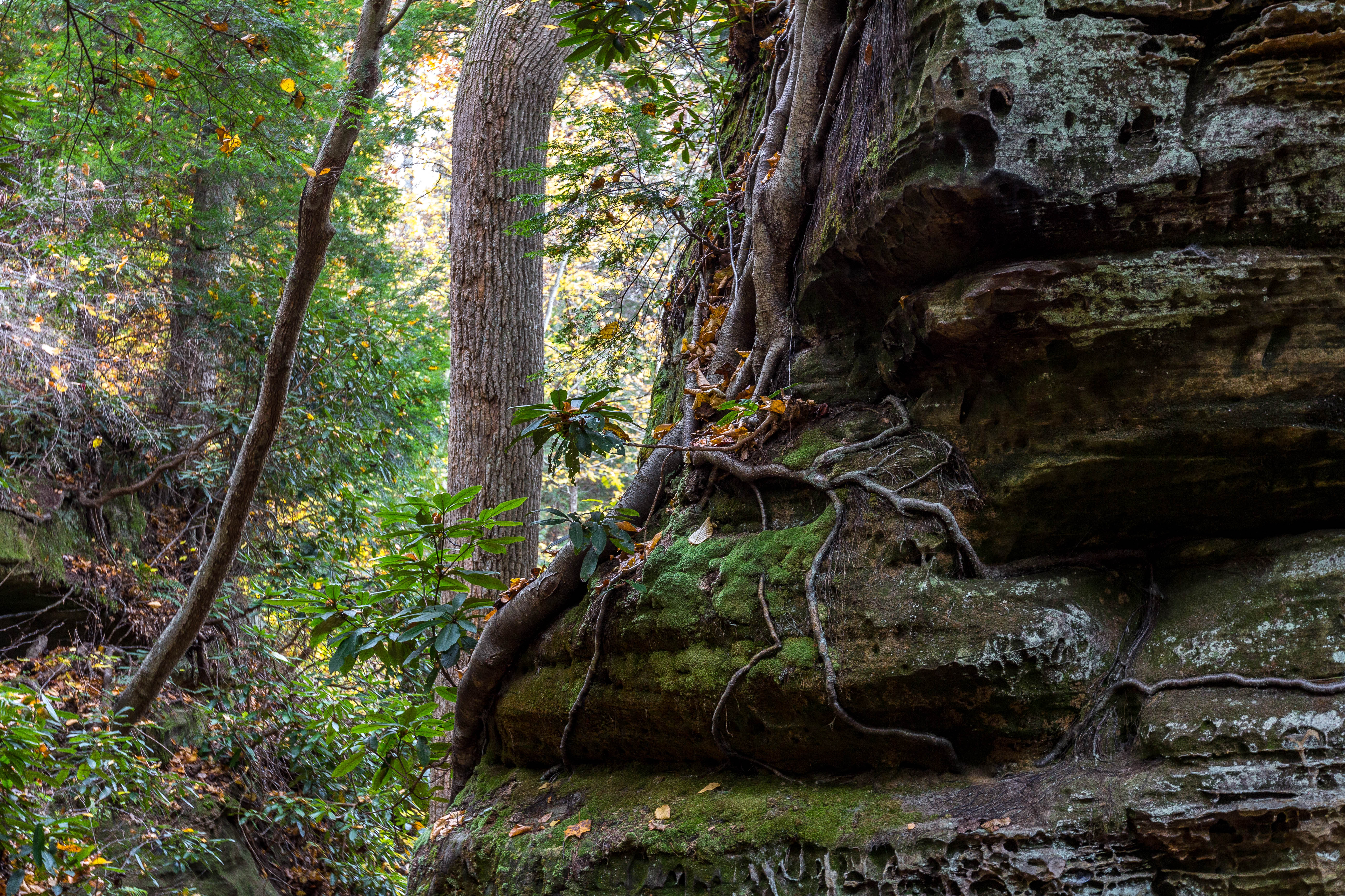
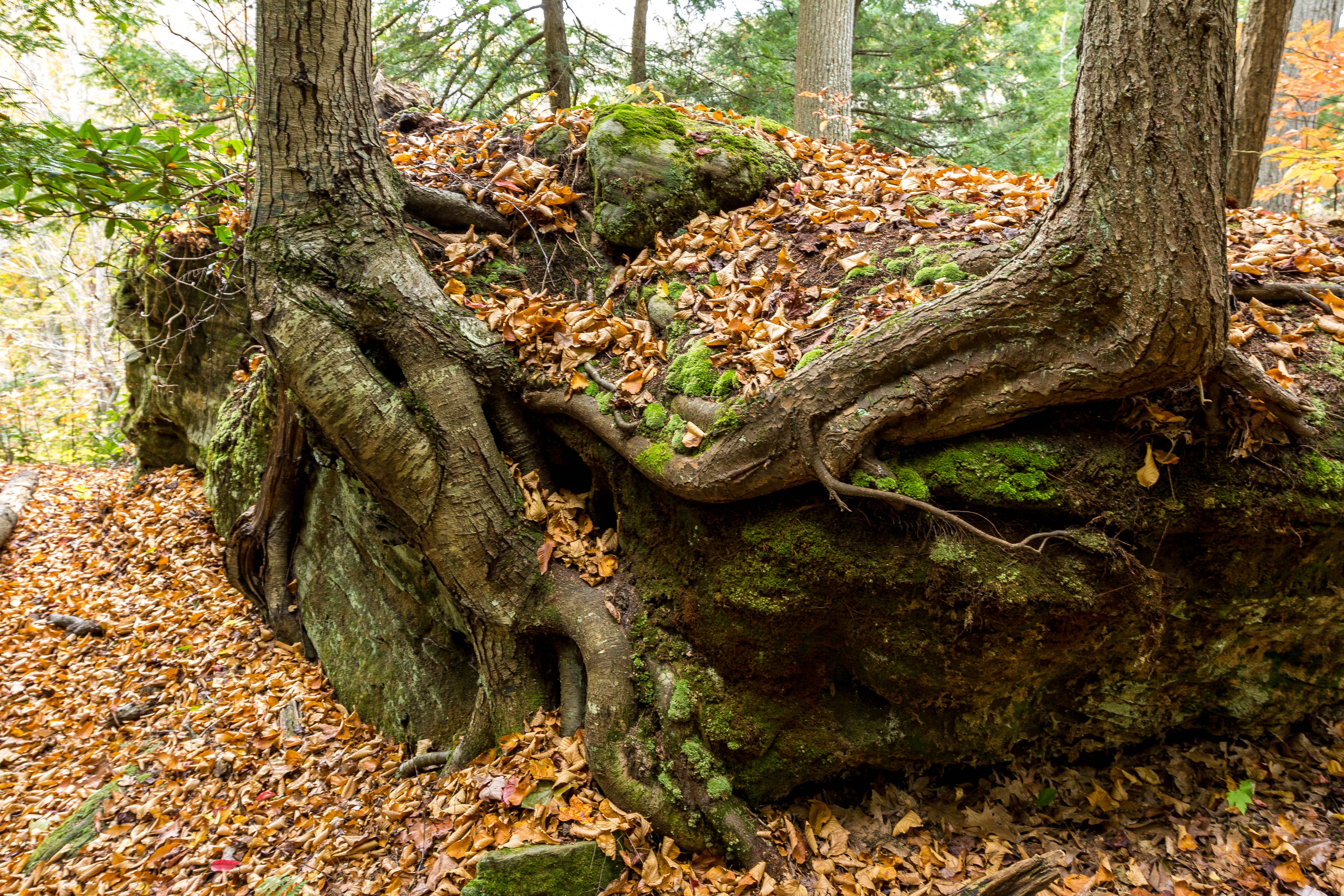
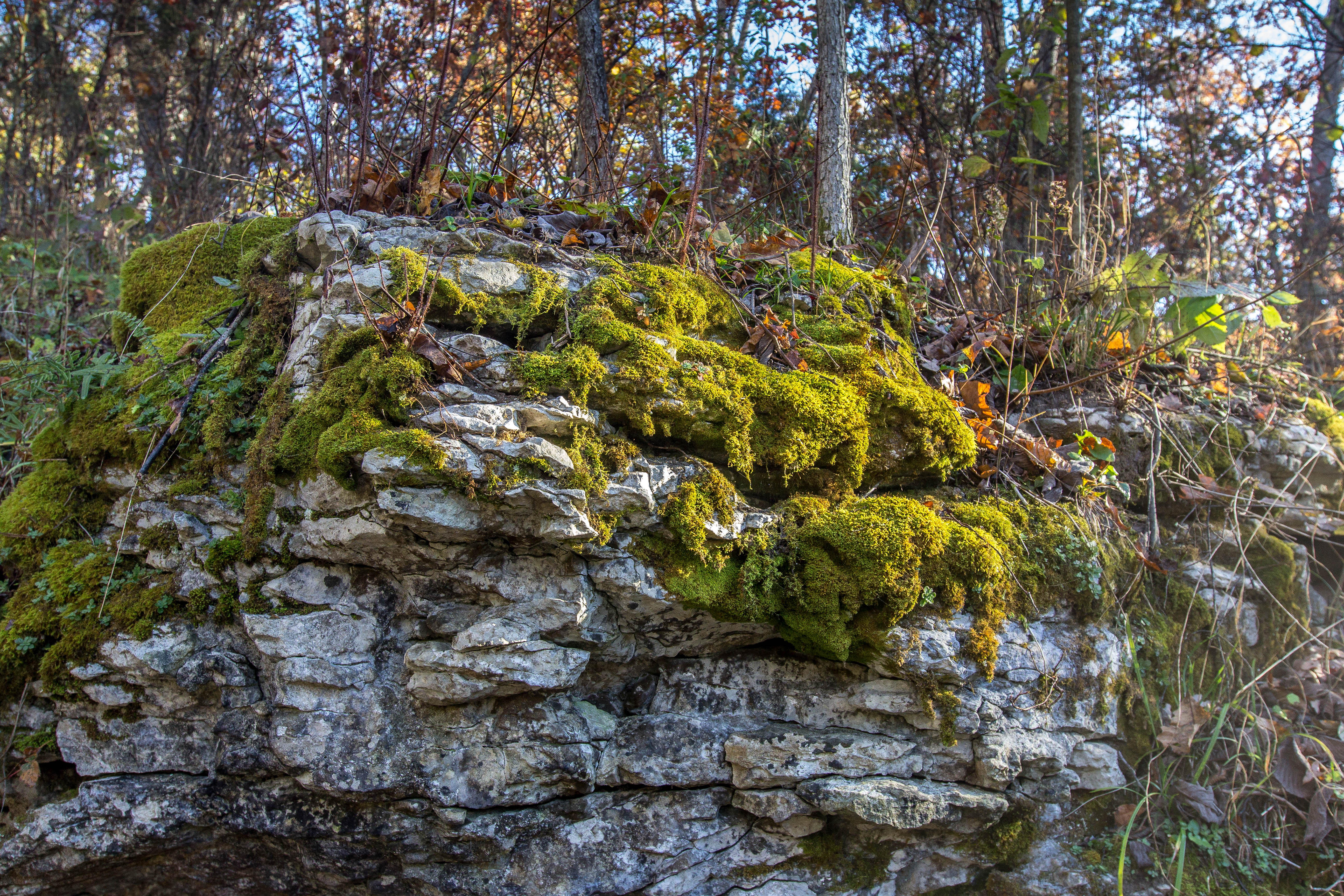
Roots, Rocks, and Moss
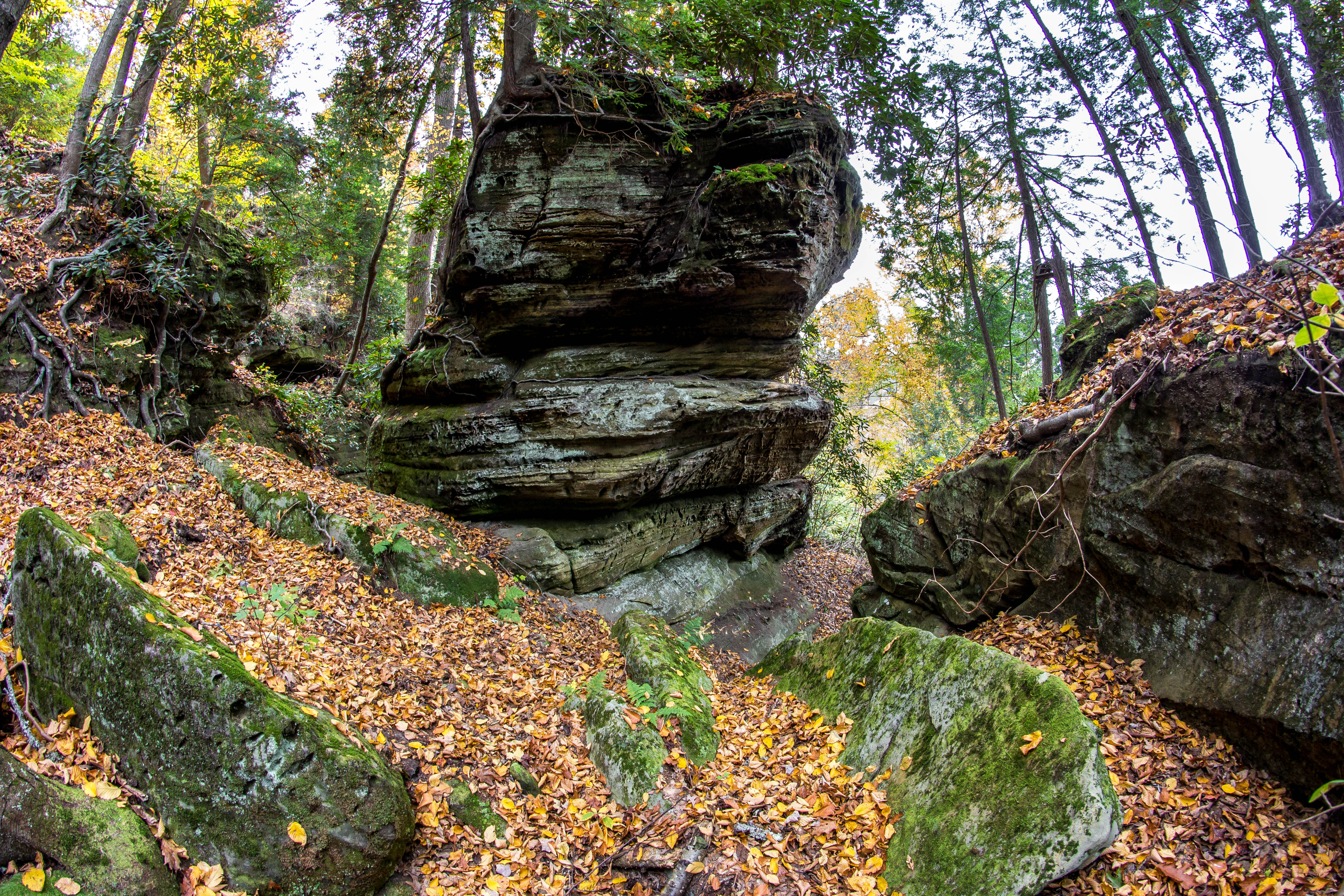
Rock Formations
Fern Bridge
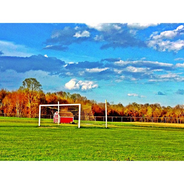
This evenings soccer venue

Aden Railroad Bridge
MPB 17-22-02, Carter County, Kentucky

6-6-15 089

Carter Caves State Resort Park

Carter Caves State Resort Park
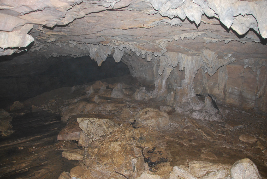
Carter Caves State Resort Park
6-6-15 081

6-6-15 080
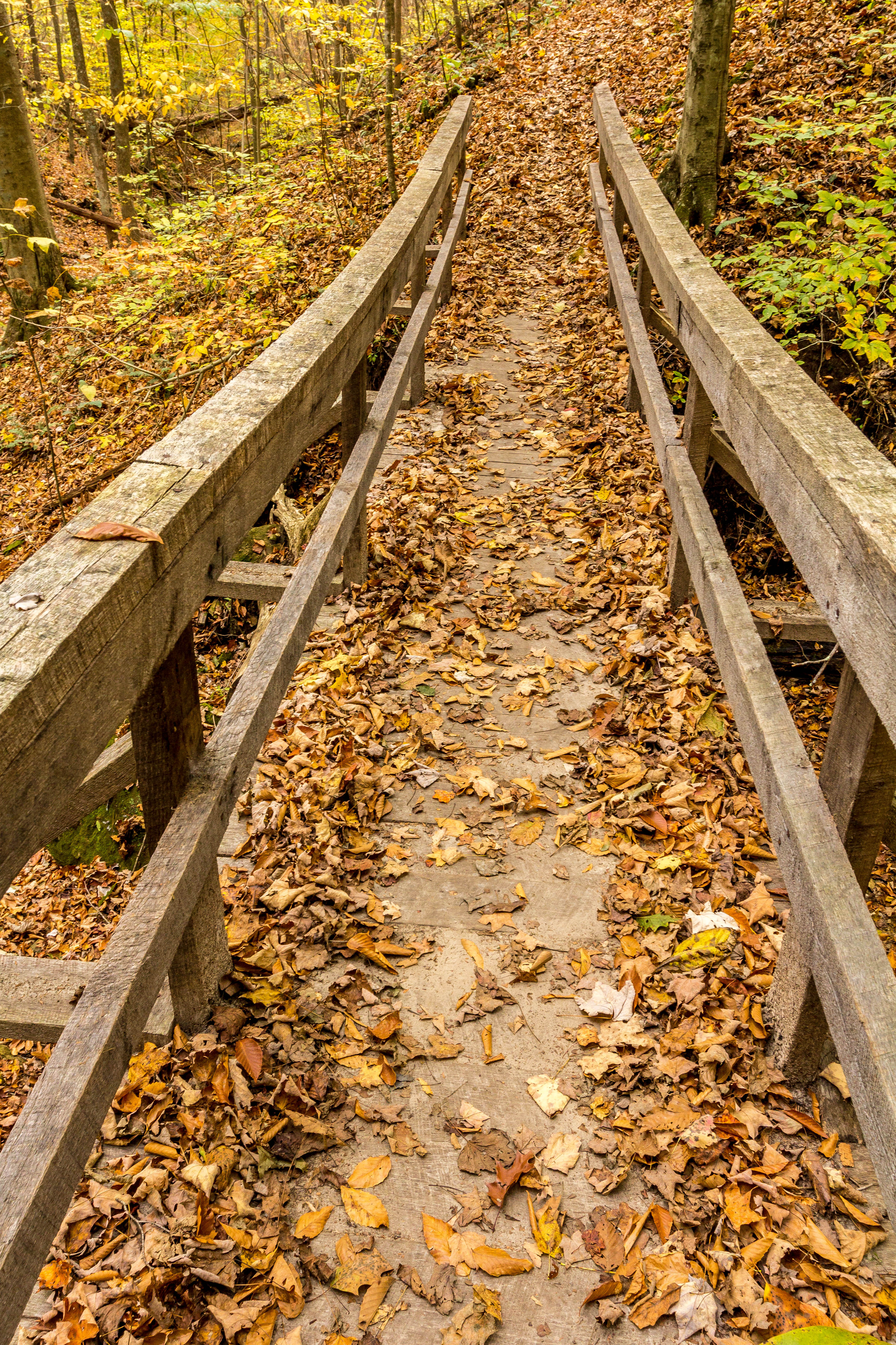
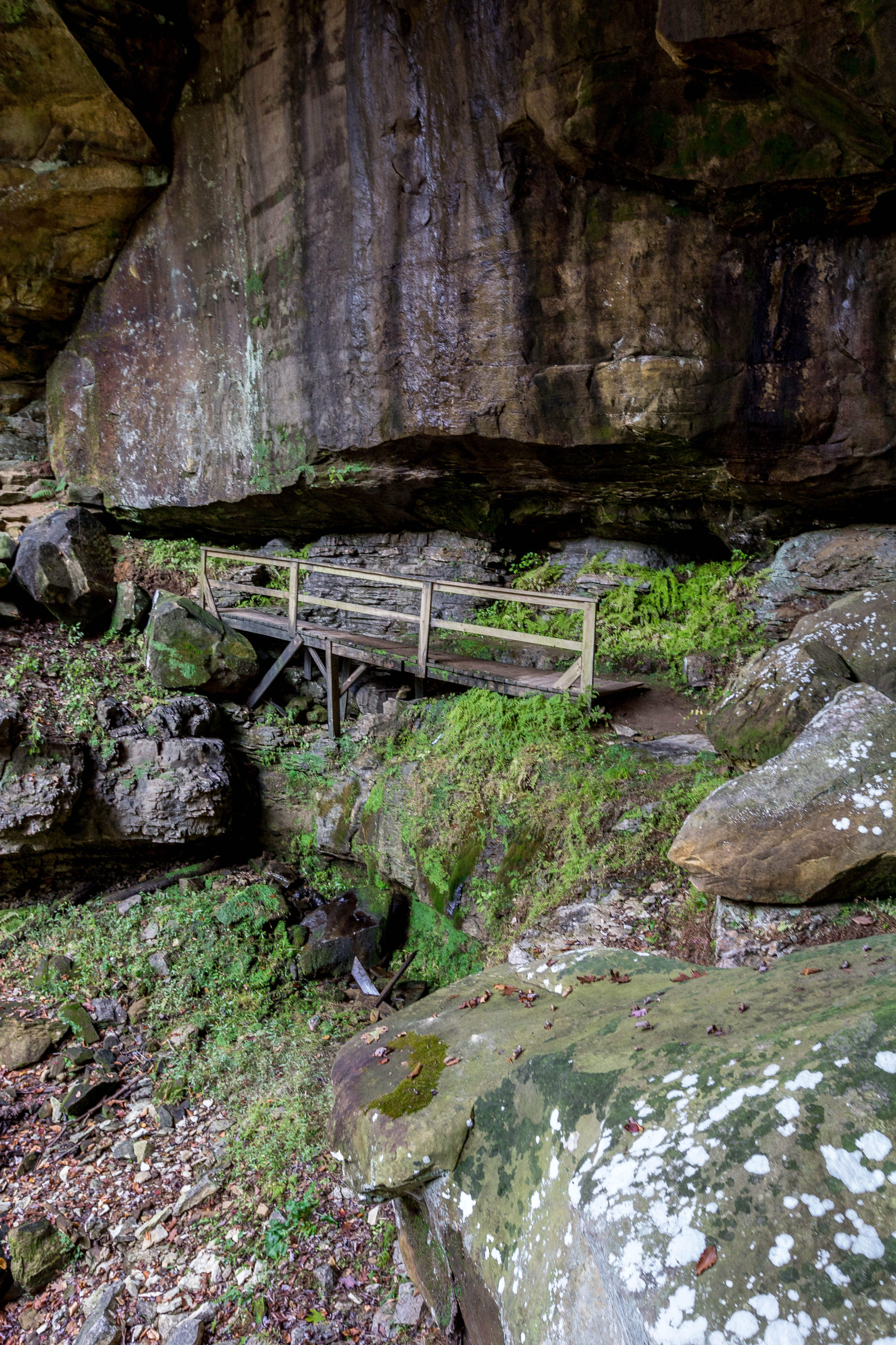
Rickety Bridge

Carter Cave State Park, KY

2012-03-27_Carter Caves 05c Raven Bridge
Topographic Map of Grayson, KY, USA
Find elevation by address:

Places in Grayson, KY, USA:
KY-7, Grayson, KY, USA
234-298
KY-, Grayson, KY, USA
Hitchens Rd, Grayson, KY, USA
KY-2, Grayson, KY, USA
44 Smith Branch Rd, Grayson, KY, USA
Hitchens Rd, Grayson, KY, USA
Jensen Drive
Places near Grayson, KY, USA:
133 Reatta St
408 Indian Hills Rd
134 Homestead Dr
149 S Commerce Dr
Argillite
3310 Culp Creek Rd
Brush Creek Rd, Argillite, KY, USA
Boyd County
Heritage Heights Rd, Ashland, KY, USA
Tiffany Dr, Ashland, KY, USA
220 Jane Hill Rd
3154 May St
Westwood
Altamont Drive
2727 Monroe St
1000 Greenup Ave
Ashland
Ashland
17th St, Ashland, KY, USA
Recent Searches:
- Elevation of Corso Fratelli Cairoli, 35, Macerata MC, Italy
- Elevation of Tallevast Rd, Sarasota, FL, USA
- Elevation of 4th St E, Sonoma, CA, USA
- Elevation of Black Hollow Rd, Pennsdale, PA, USA
- Elevation of Oakland Ave, Williamsport, PA, USA
- Elevation of Pedrógão Grande, Portugal
- Elevation of Klee Dr, Martinsburg, WV, USA
- Elevation of Via Roma, Pieranica CR, Italy
- Elevation of Tavkvetili Mountain, Georgia
- Elevation of Hartfords Bluff Cir, Mt Pleasant, SC, USA