Elevation of Kenzingen, Germany
Location: Germany > Baden-württemberg > Freiburg >
Longitude: 7.7696845
Latitude: 48.1955155
Elevation: 174m / 571feet
Barometric Pressure: 0KPa
Related Photos:
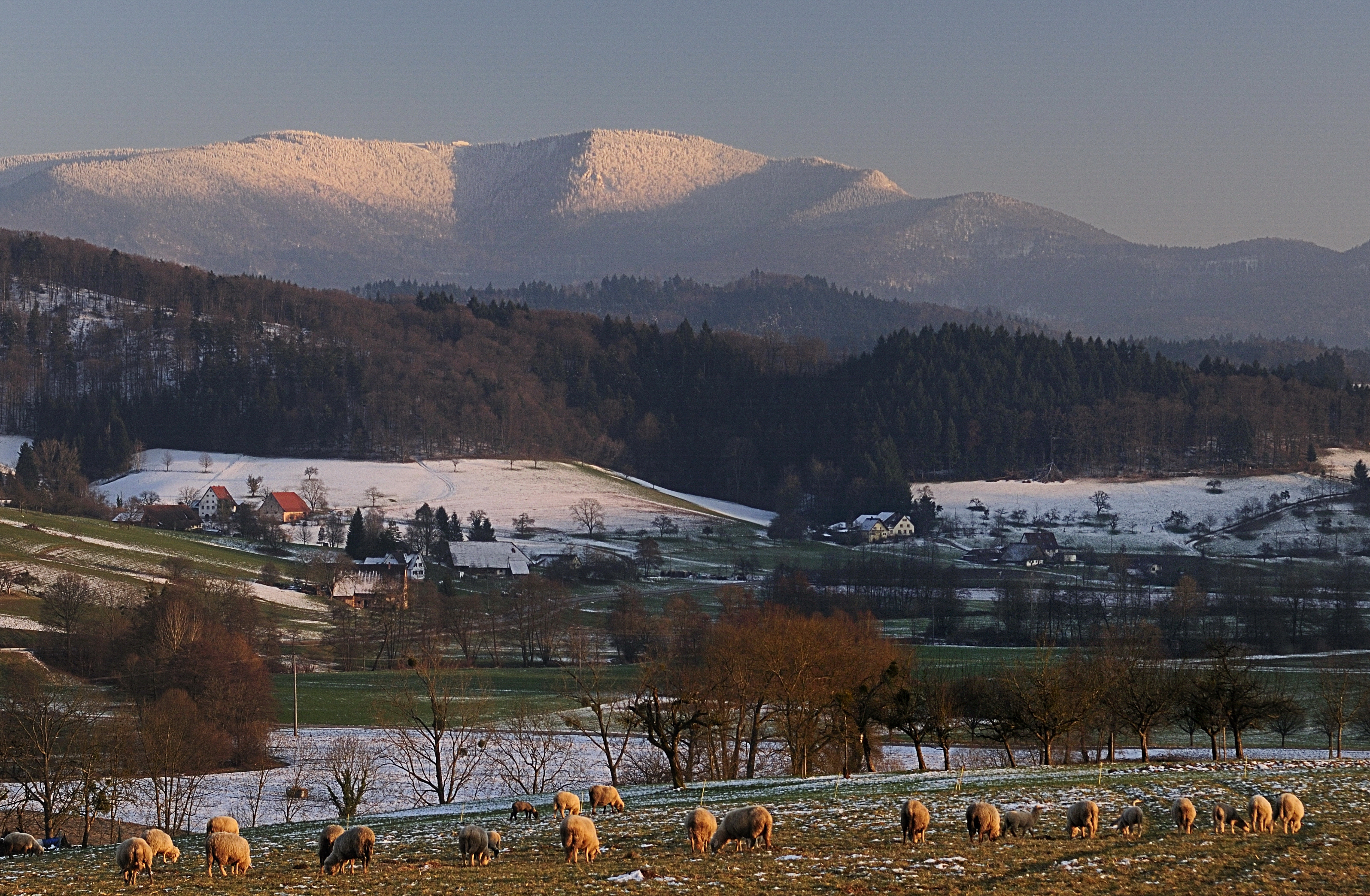
a last look at the outgoing winter season

Lady blue
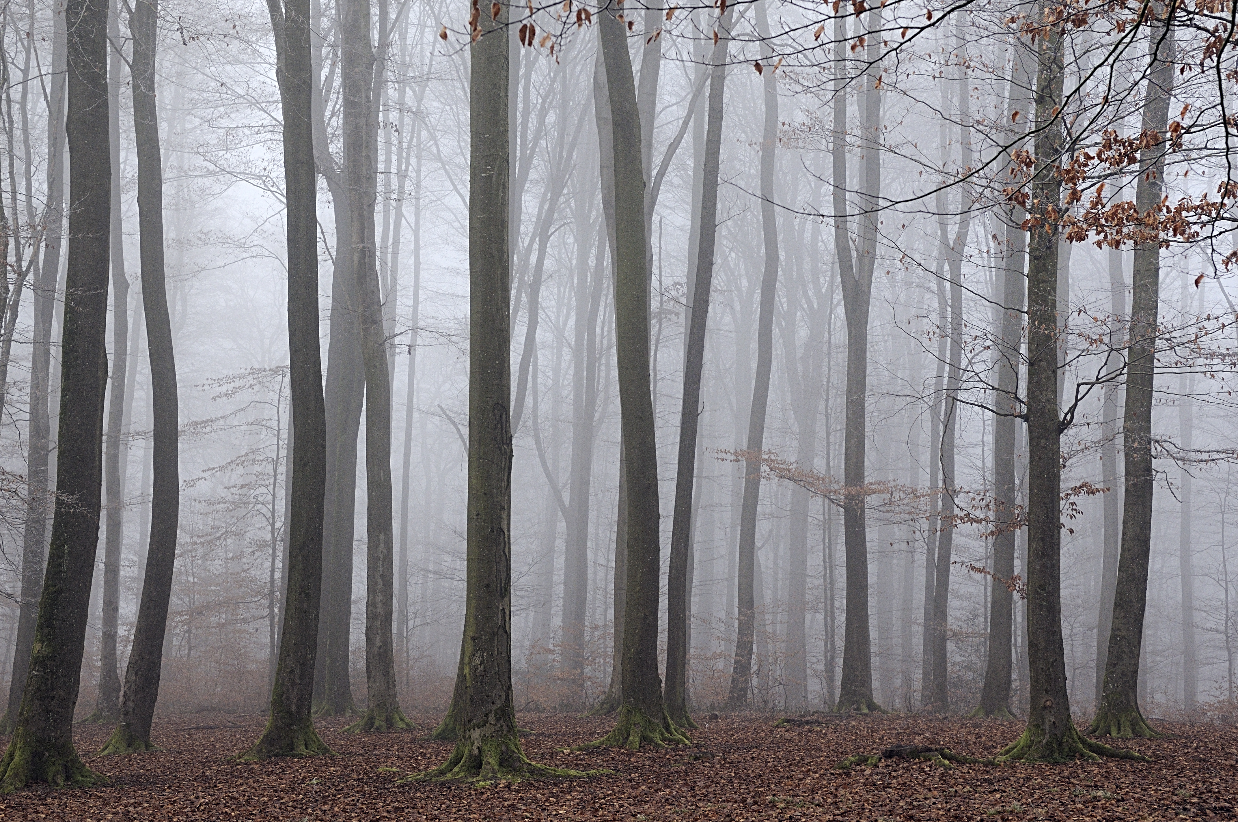
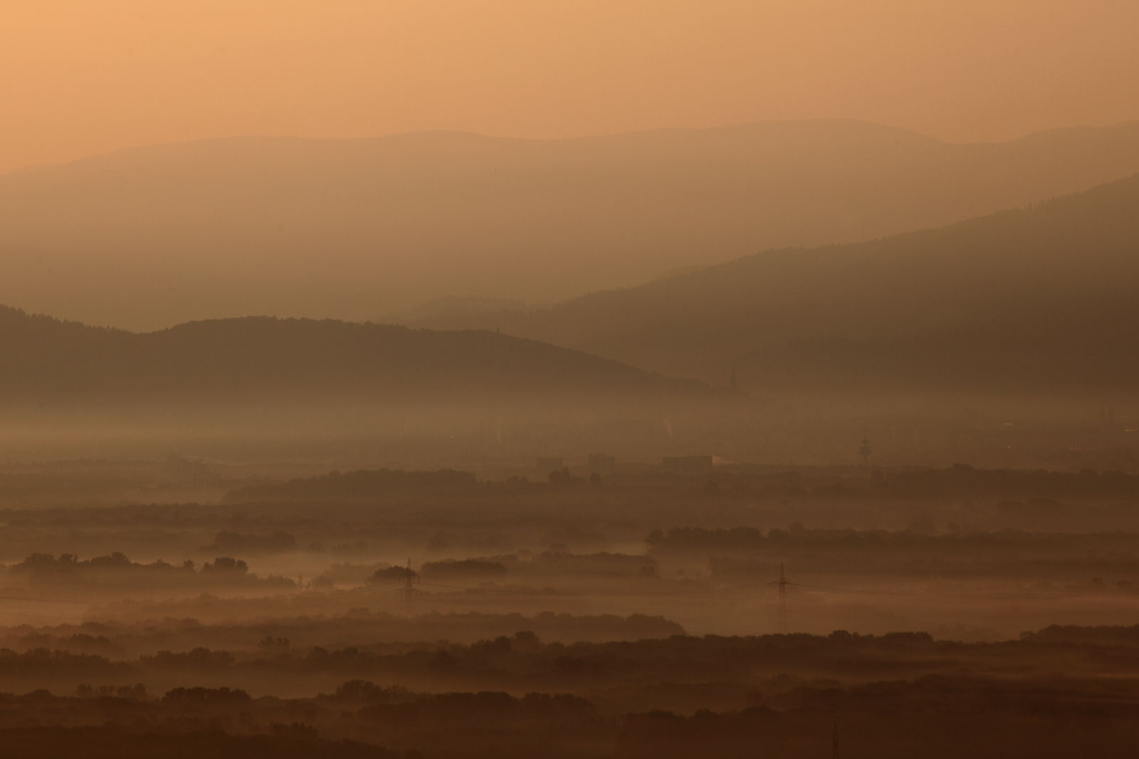
"It's strange to wander in the fog ..."

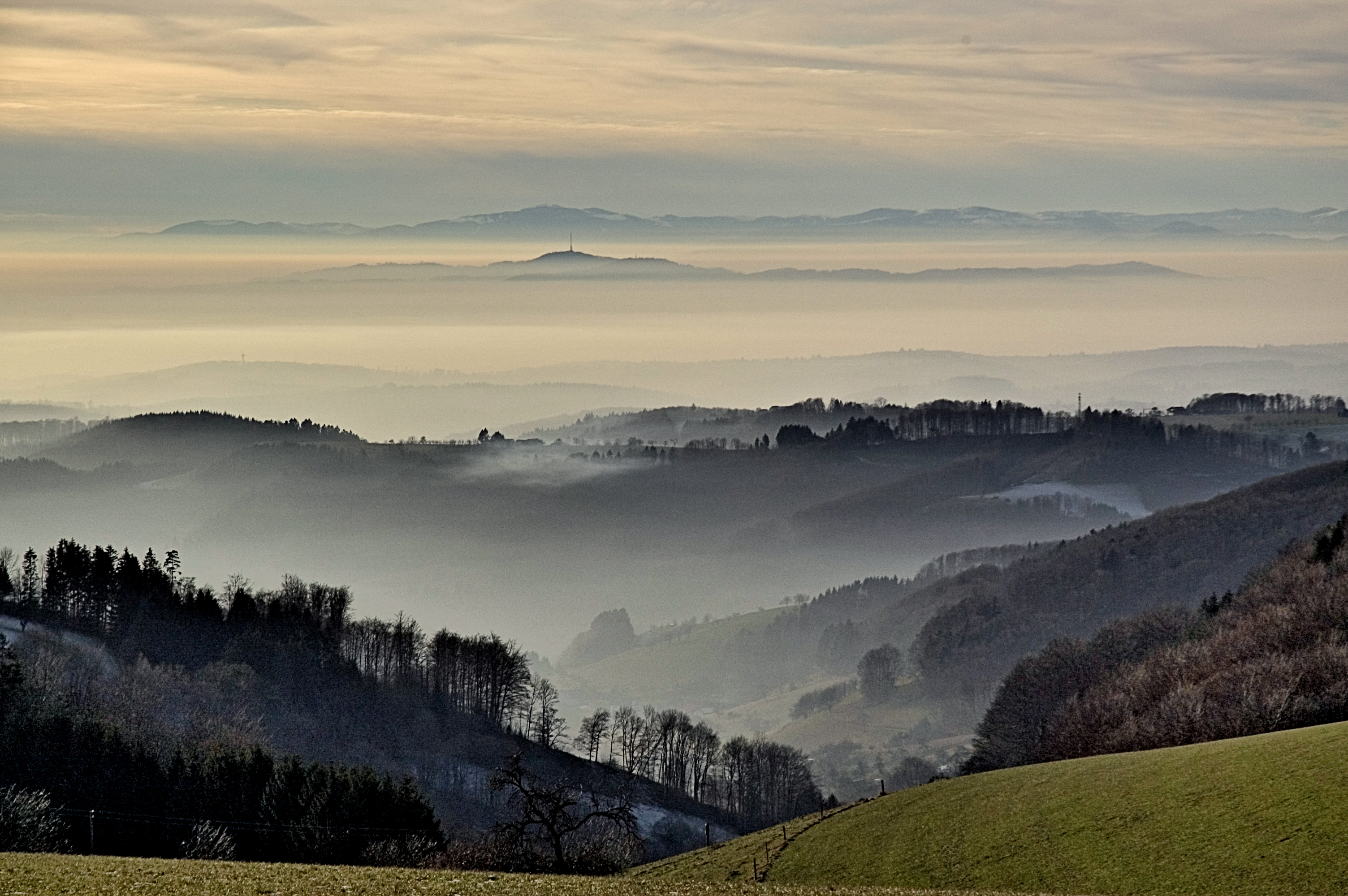
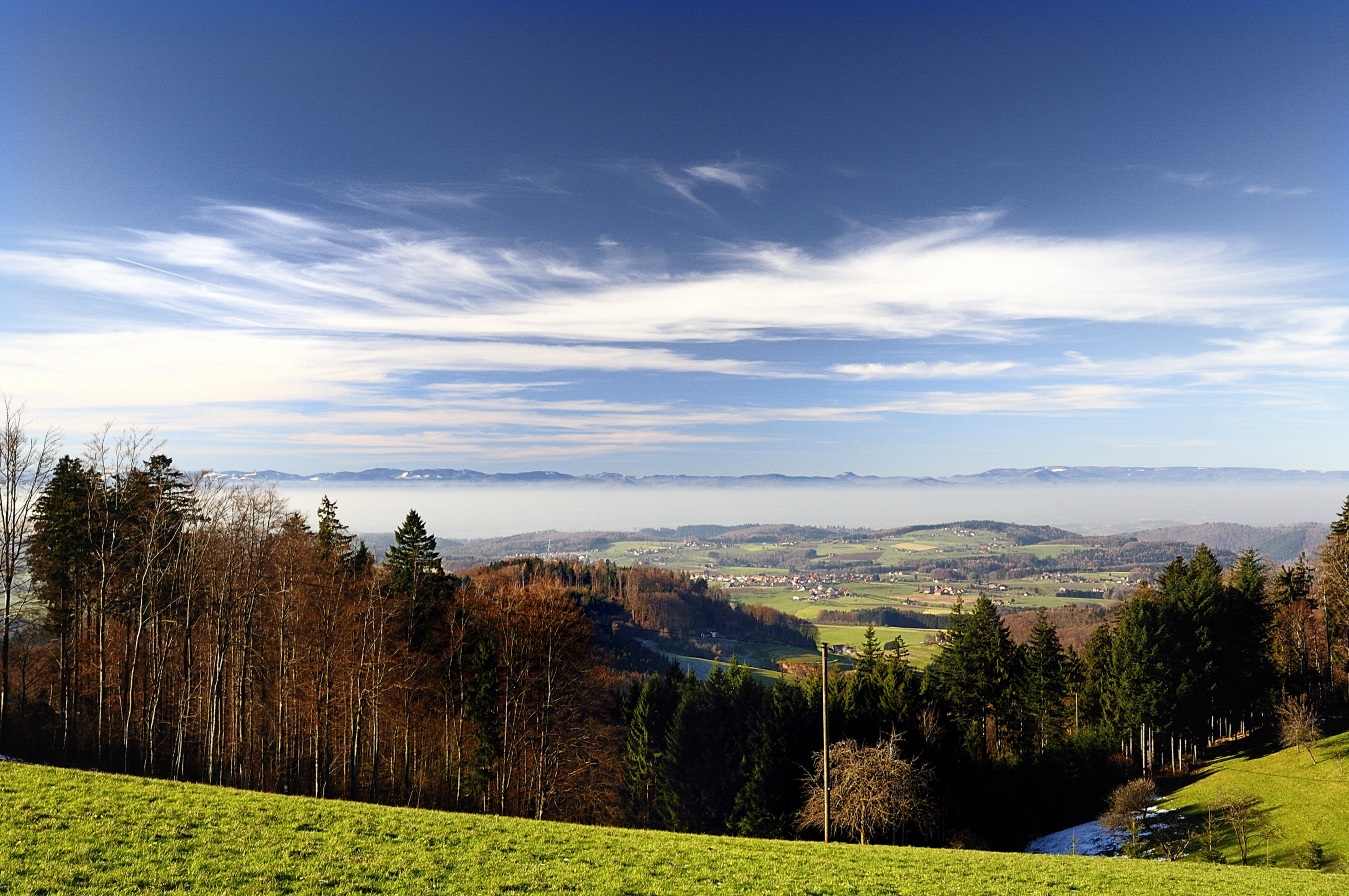
*Vogesenblick* - *Vosges view*

the grape harvest is finished
counterbalance II
la passante de ...
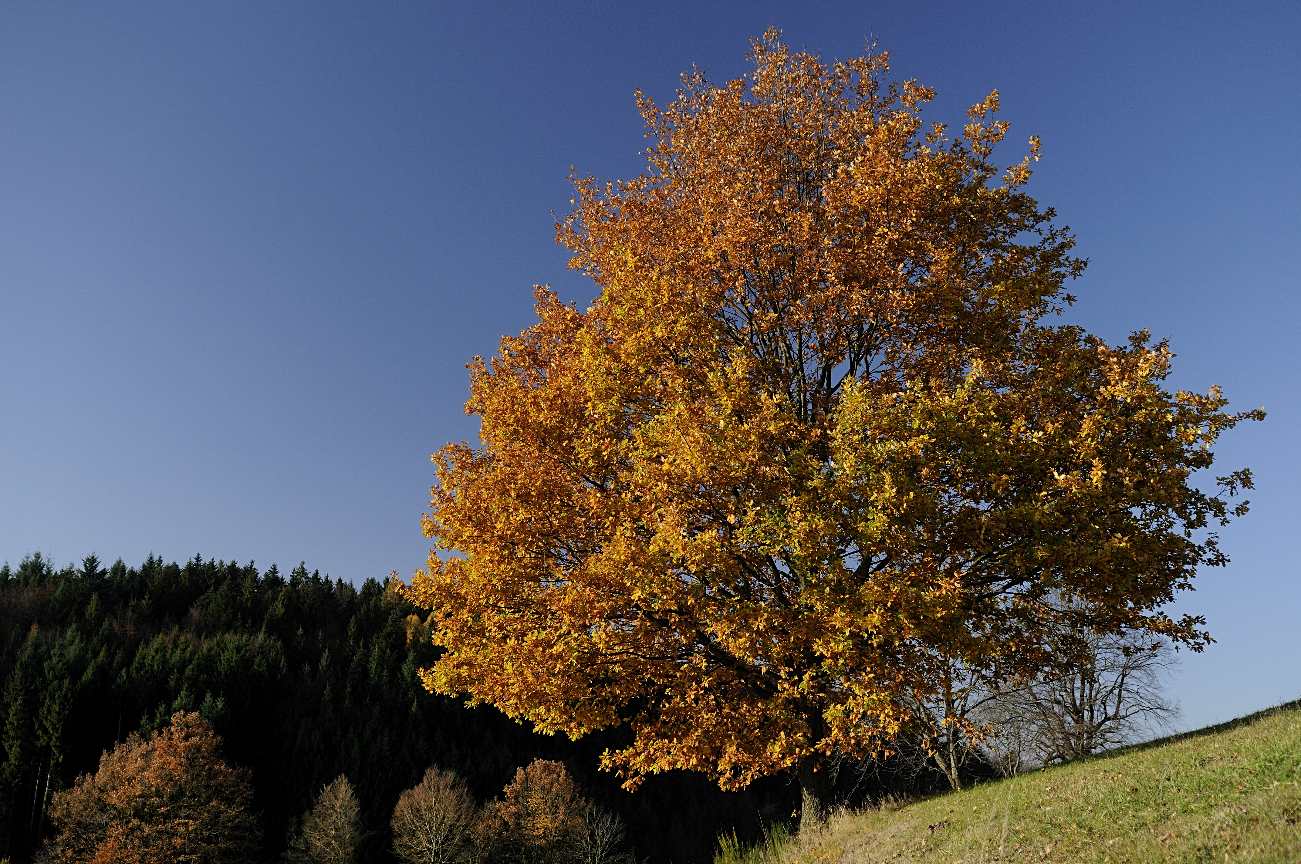
final golden autumn day?
at the end of the valley II
raised eyebrows
distant horror
ground fog
a reed shaken by the wind ...

Kissing under mistletoe - faktor 13
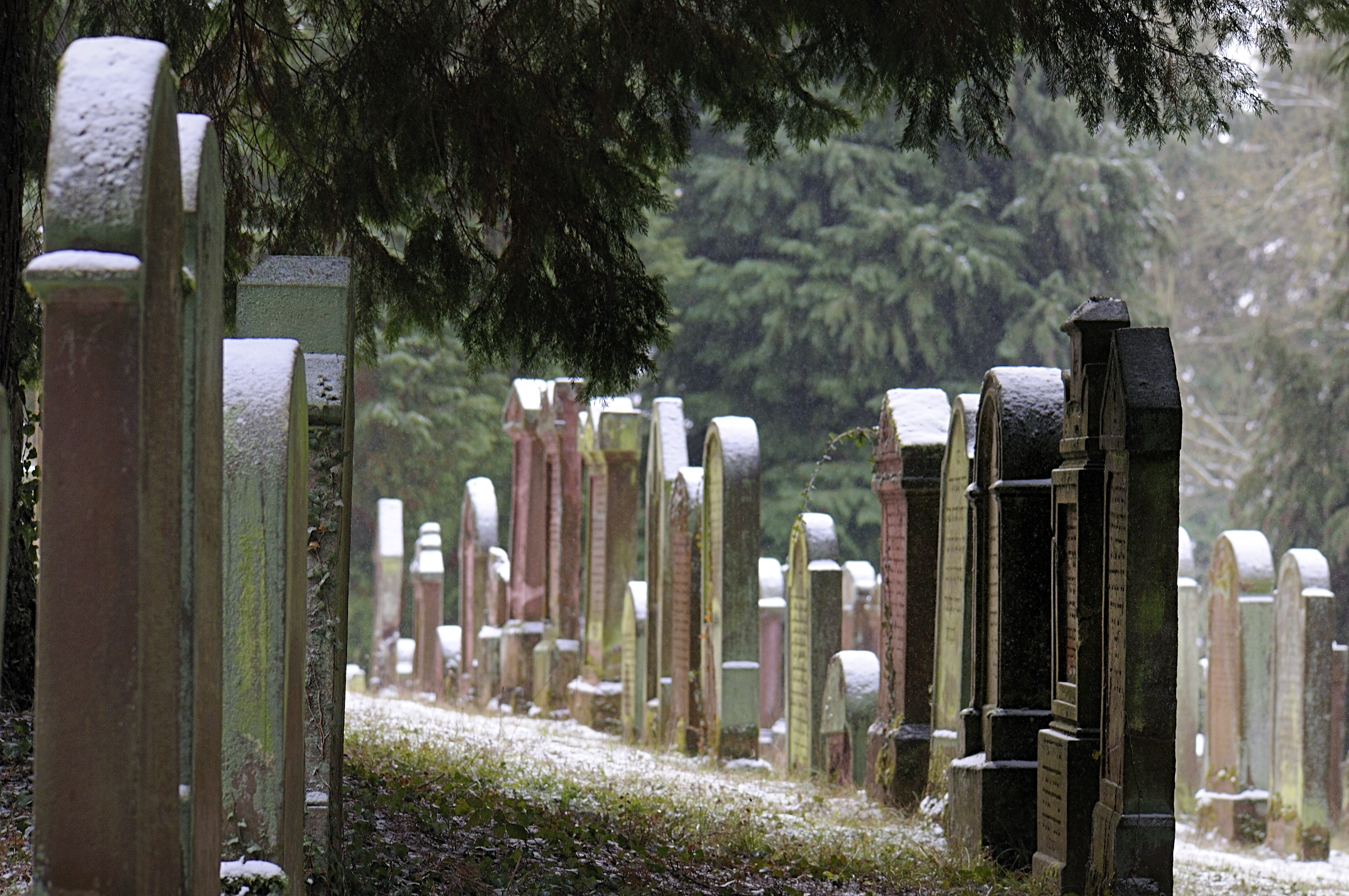
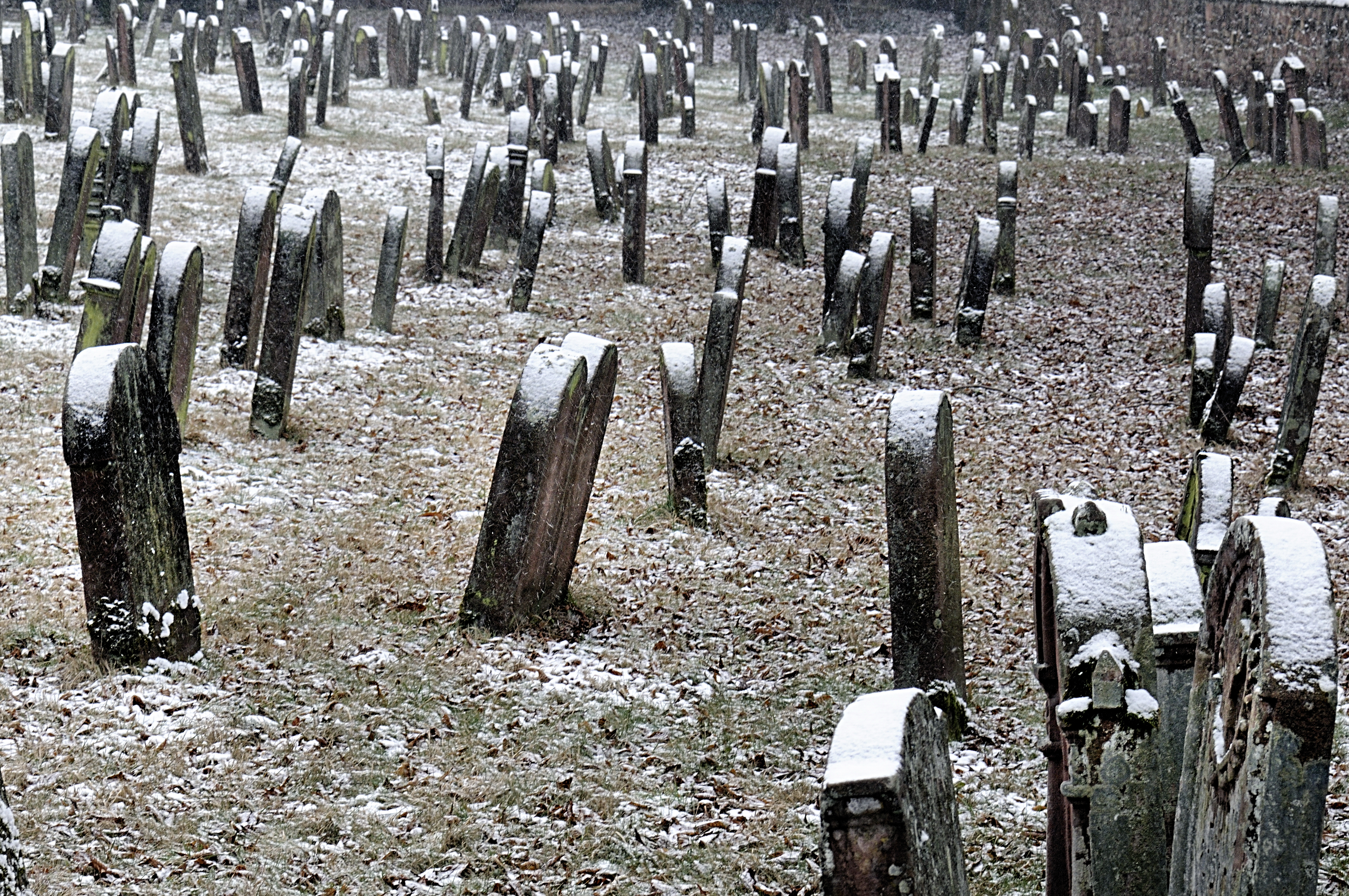
cemetery: among equals

missing springtime
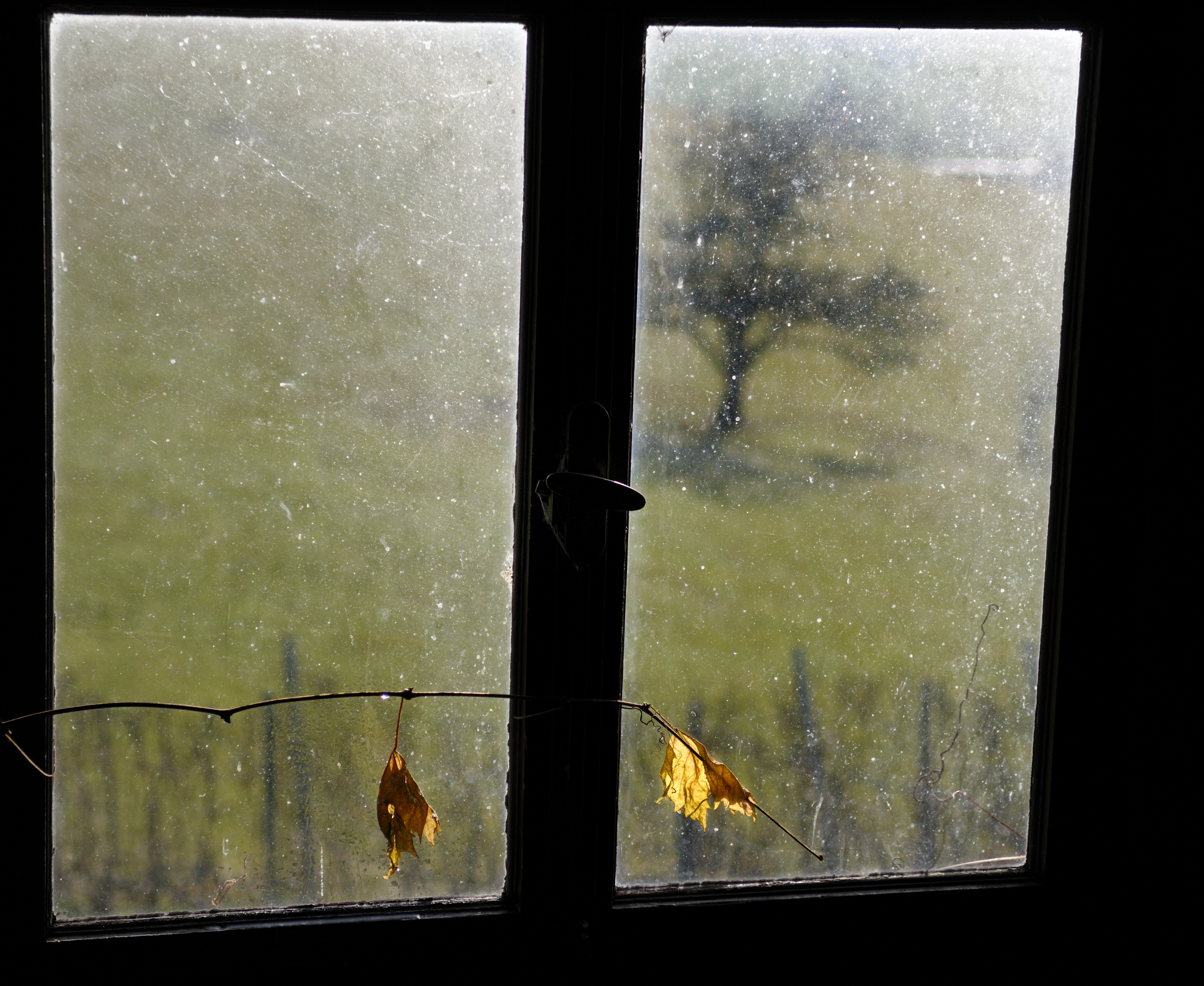
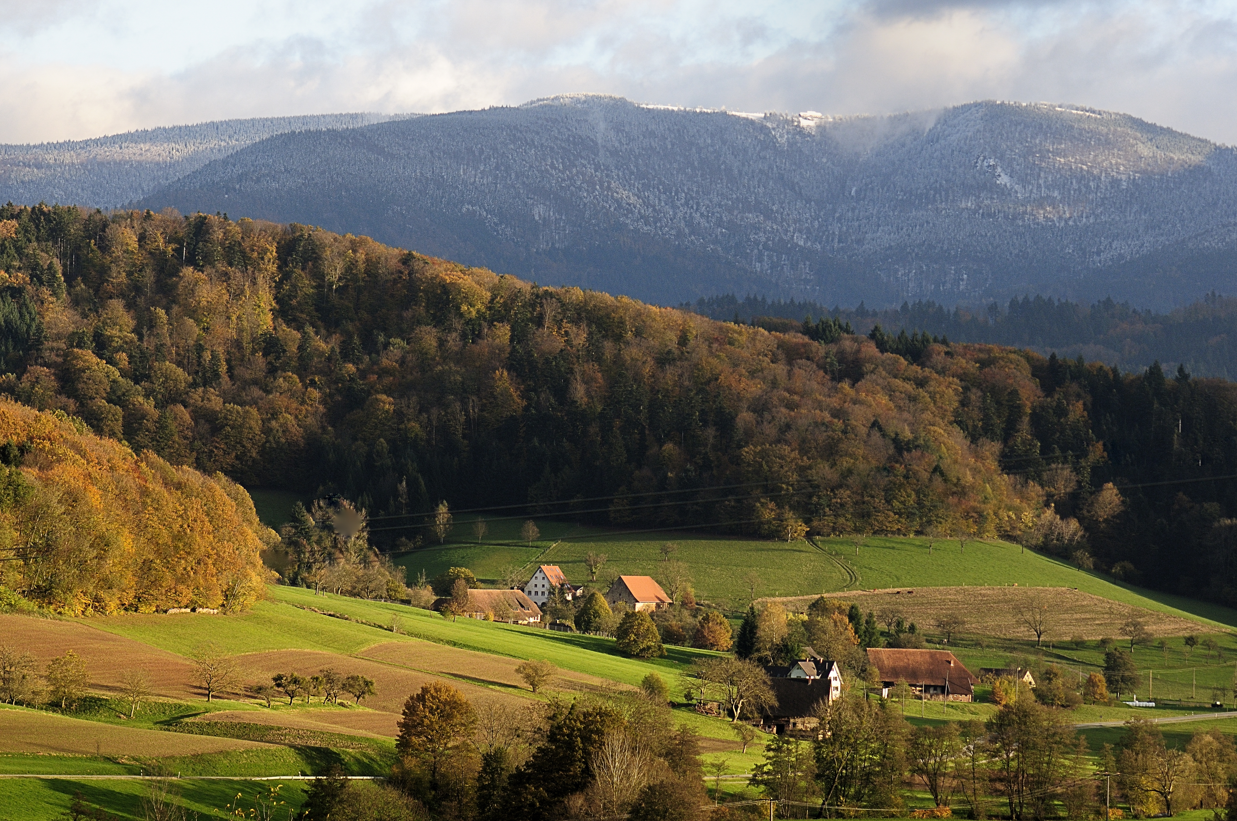
the lost autumn
before the spring has passed

IMG_6308.JPG

The Final Harvest
Gulliver’s Travels
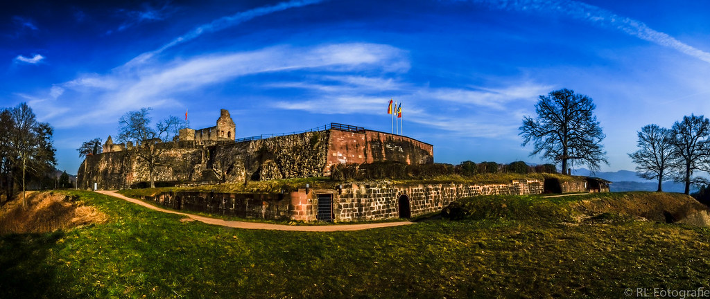
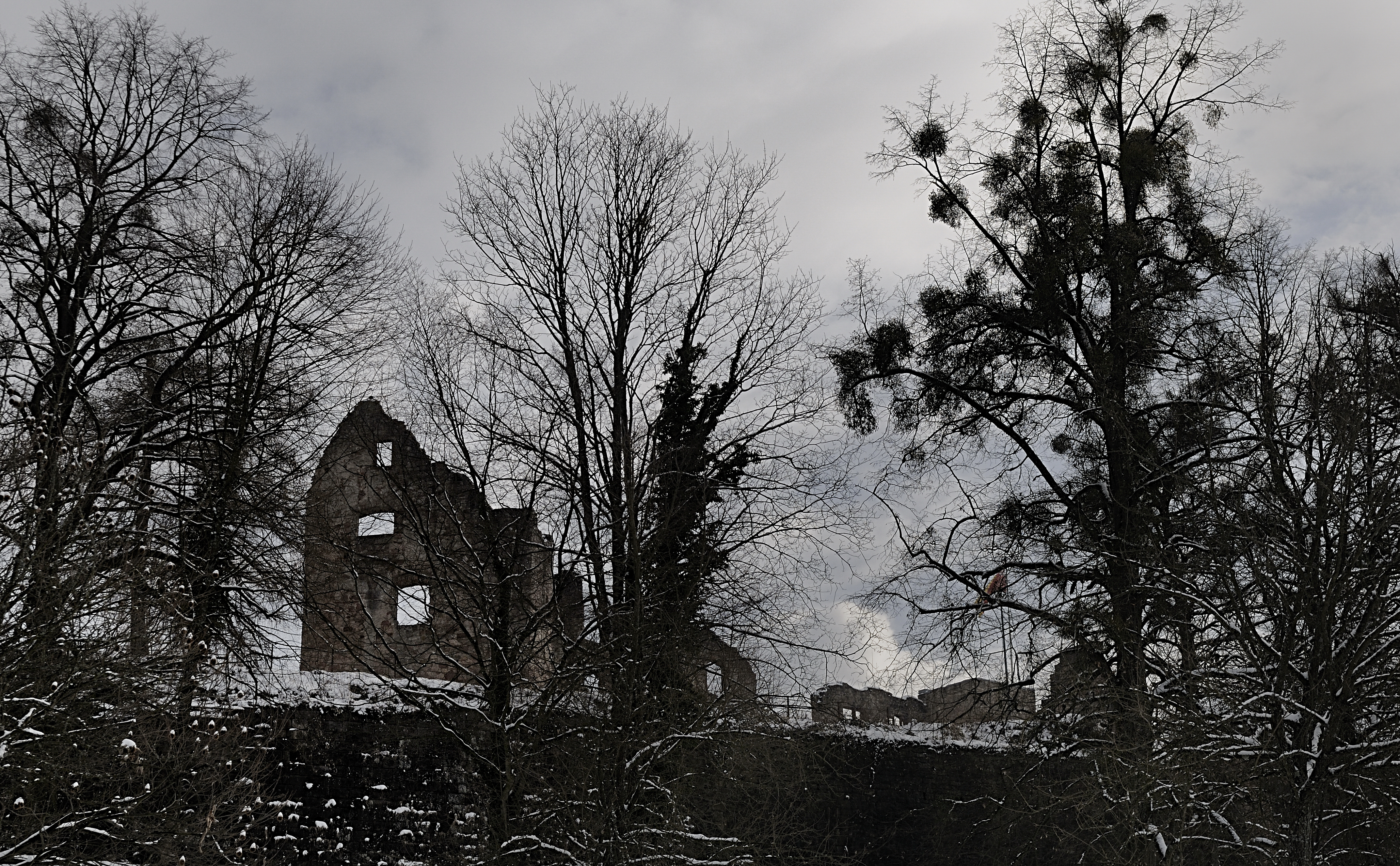
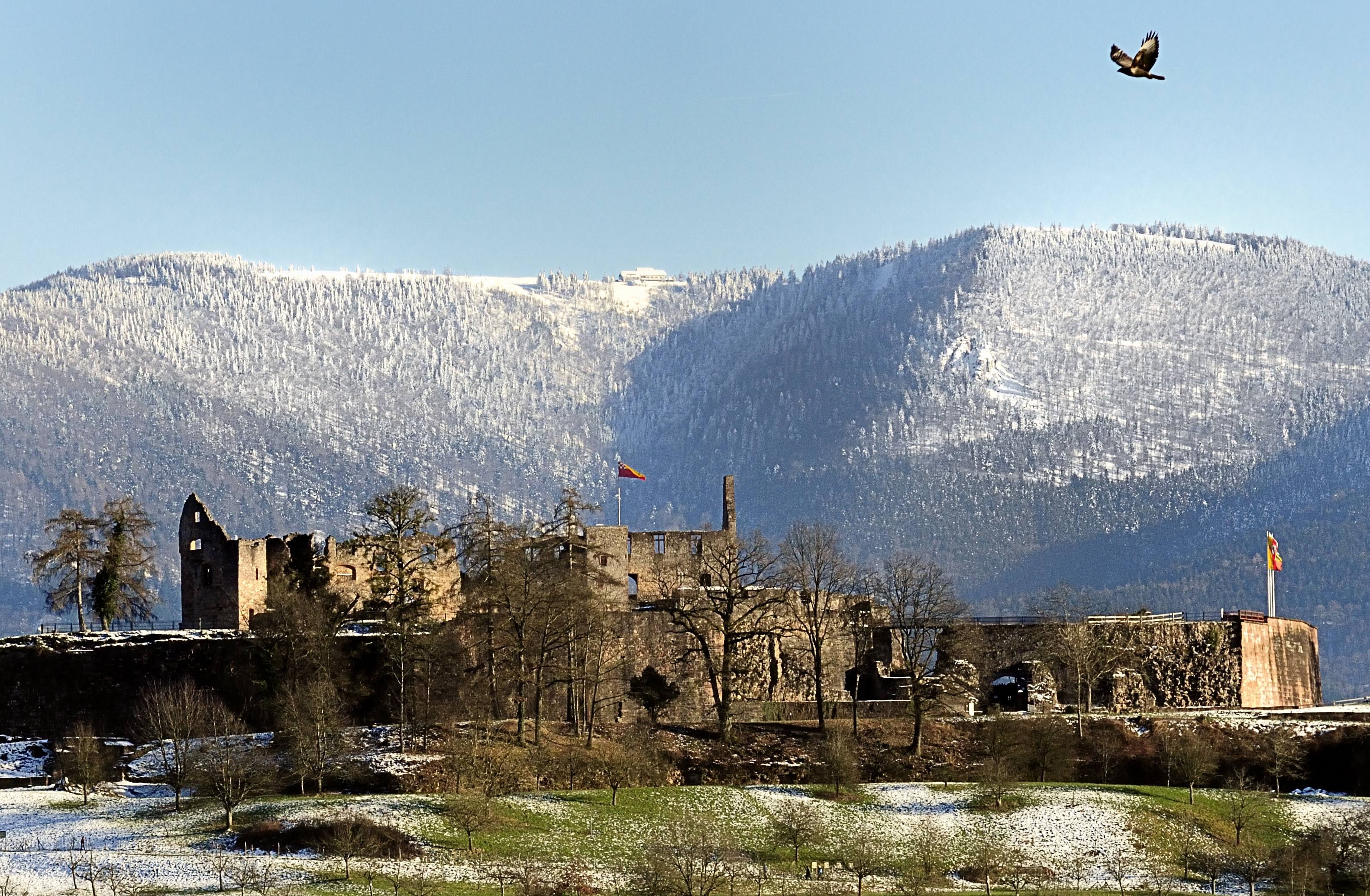
Hochburg / Stronghold

Way of cross
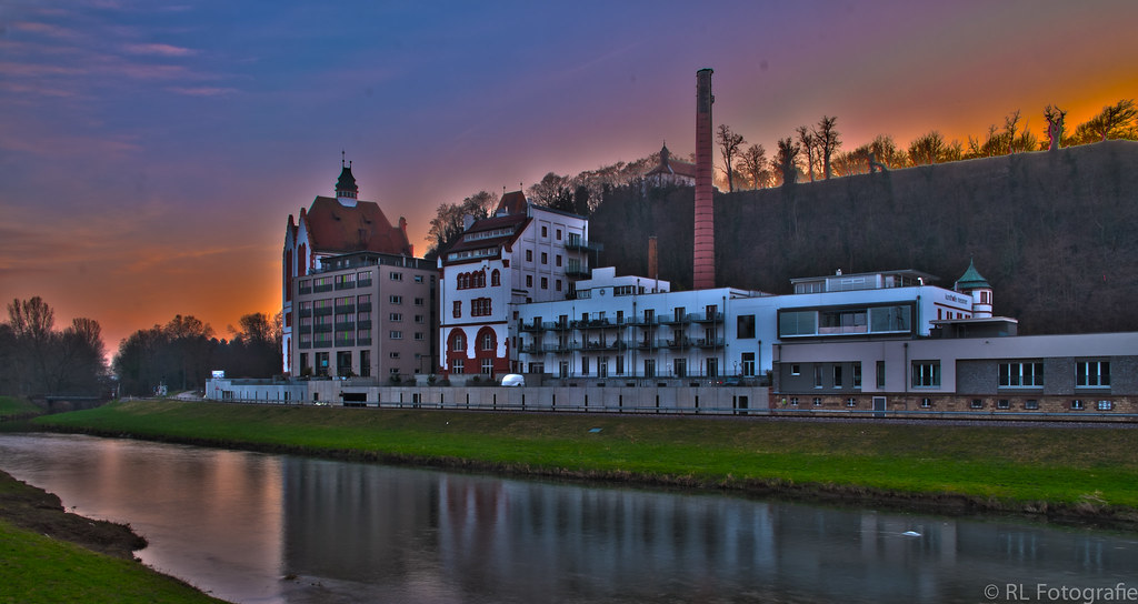
Riegeler Lofts

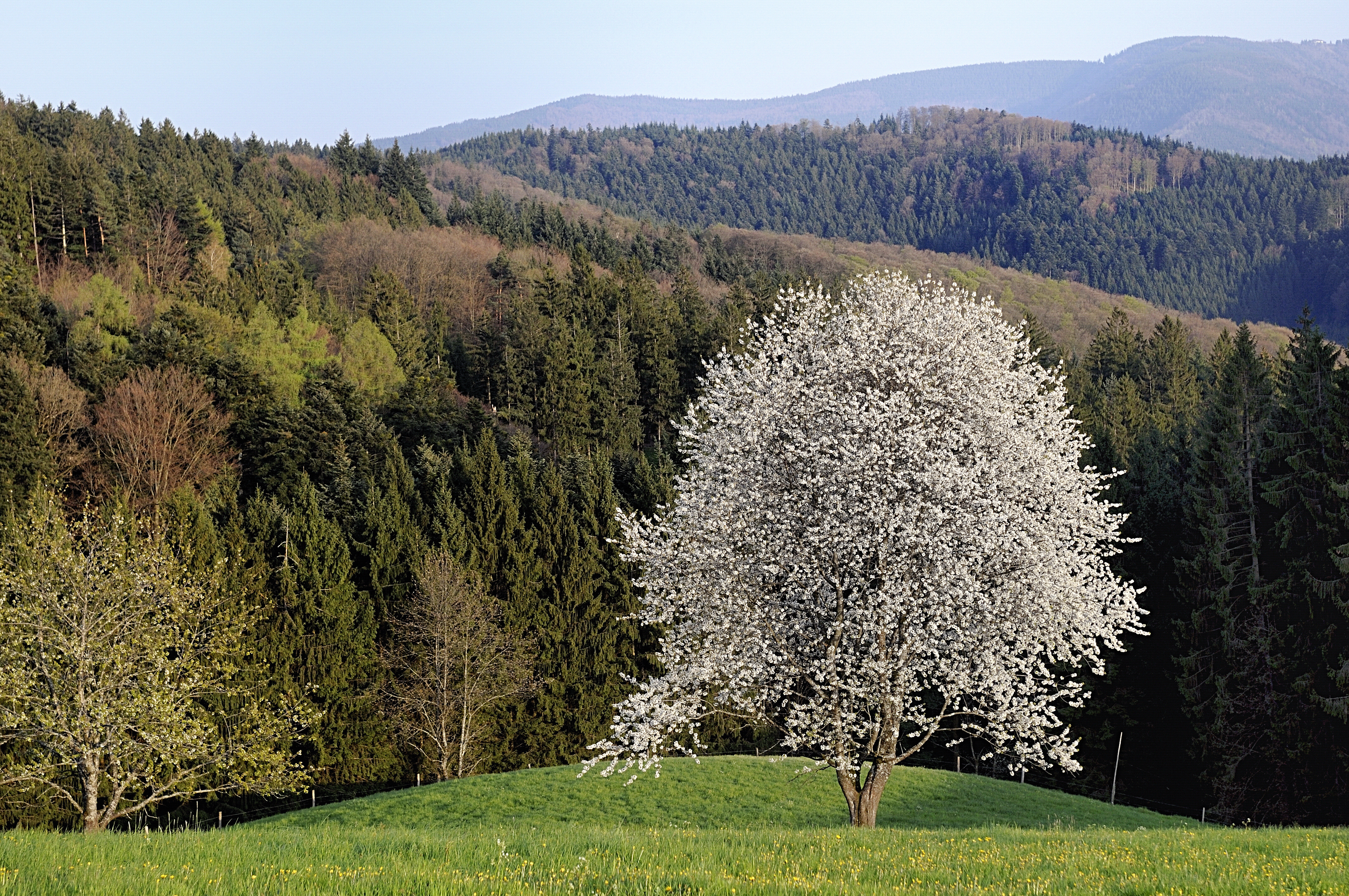
The White Way

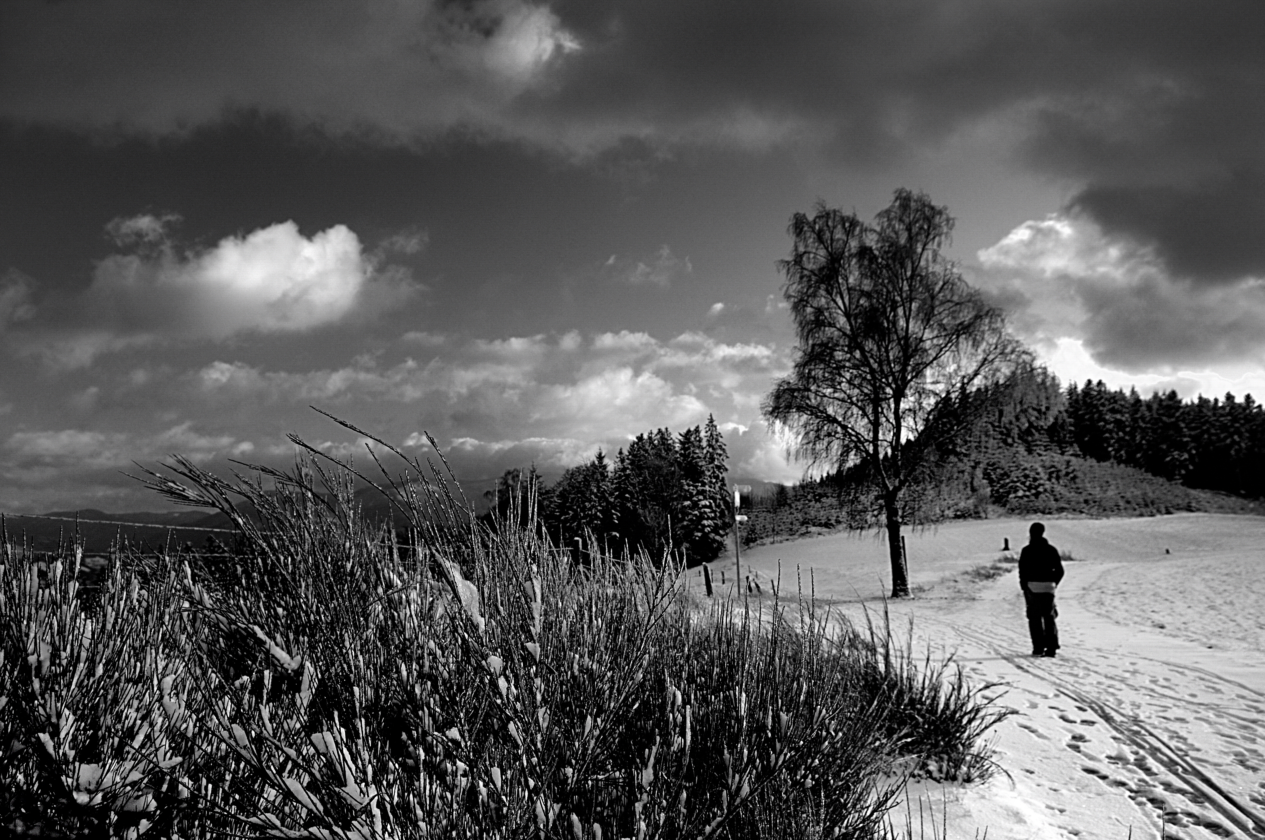
Sunday promenade

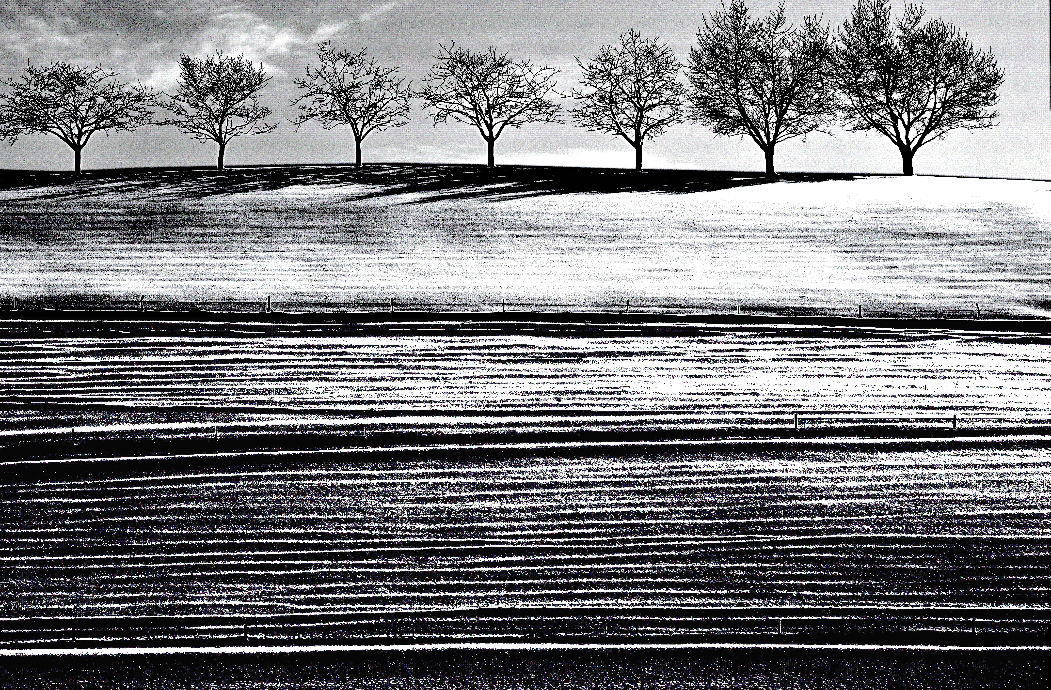
Some lines...
height difference: 1000 meters - lost in reverie

Weideschweine / pasture pigs
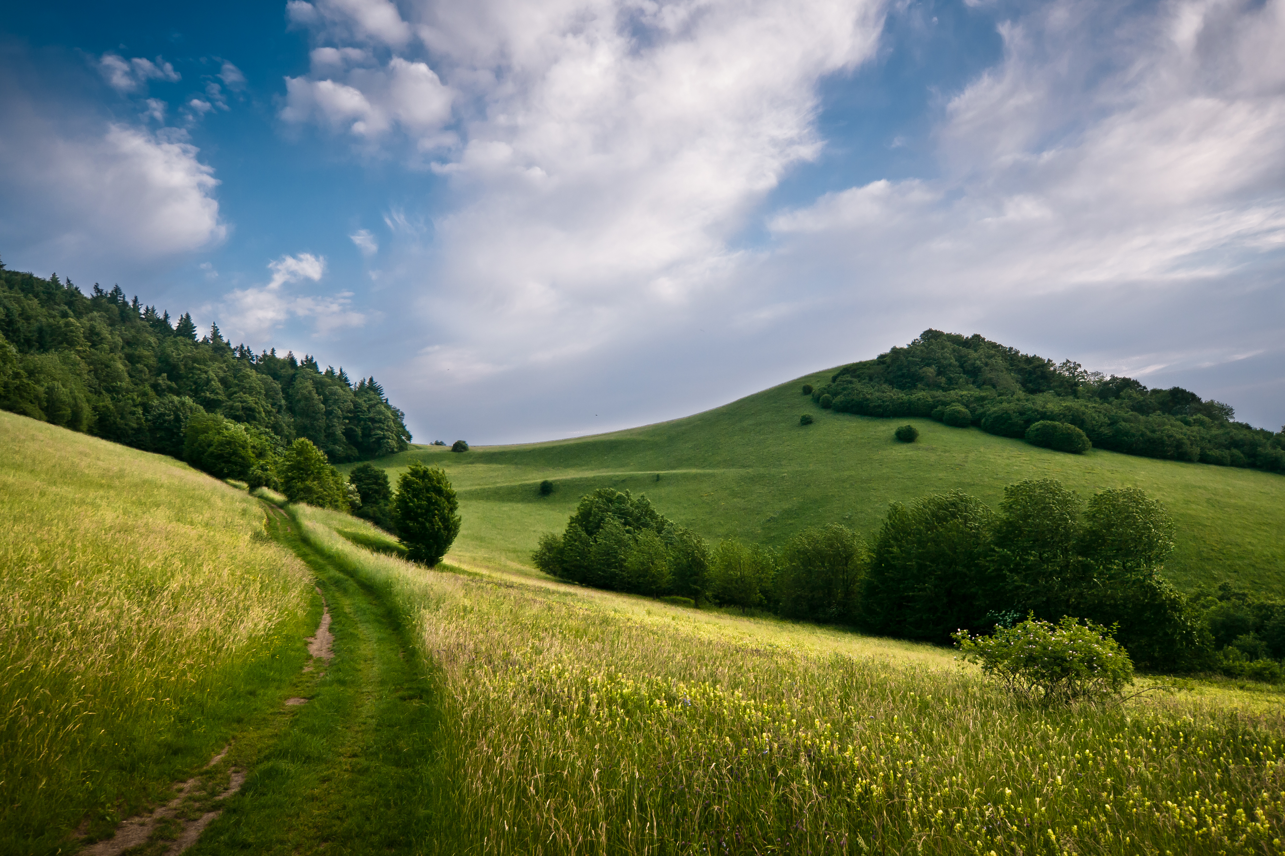
Summer Hills

Cold Fire
on approach

The separation
heralds of winter
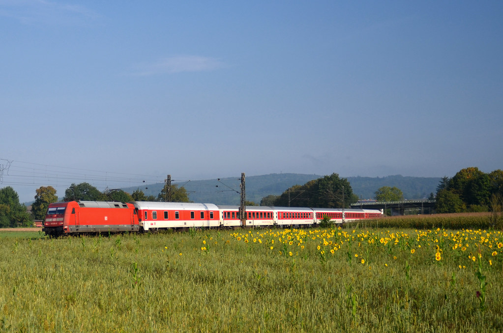
CNL 473 Aurora @ Kollmarsreute
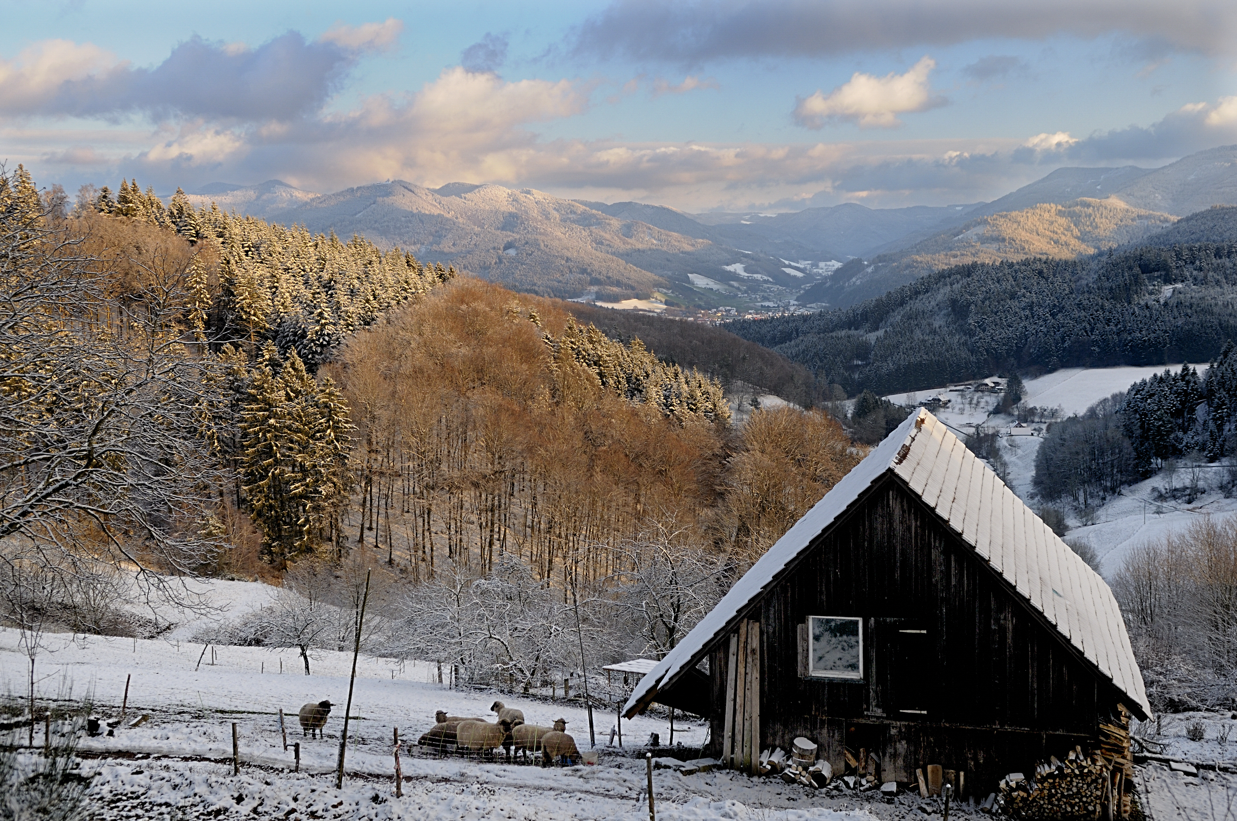
Winter's Holiday

Chasing the sun

The bad weather comes from the right
Topographic Map of Kenzingen, Germany
Find elevation by address:

Places in Kenzingen, Germany:
Places near Kenzingen, Germany:
Aussiedlerhöfe 2, Herbolzheim, Germany
Herbolzheim
Dragonerstraße 22, Herbolzheim, Germany
Austr. 2, Kenzingen, Germany
Emmendingen
Sportplatzstraße 50, Kappel-Grafenhausen, Germany
Orschweier
Finkenweg 13, Mahlberg, Germany
Mahlberg
Kappel-grafenhausen
Freiamt
Ottoschwanden
Buhler 10, Freiamt, Germany
Gartenstraße 23, Freiamt, Germany
Im Vorhof 3, Freiamt, Germany
Mietersheim
Ortenaustraße 14, Lahr/Schwarzwald, Germany
Hasenberg 3, Seelbach, Germany
Kreuzstraße 14, Lahr/Schwarzwald, Germany
Langenhard 12
Recent Searches:
- Elevation of 10370, West 107th Circle, Westminster, Jefferson County, Colorado, 80021, USA
- Elevation of 611, Roman Road, Old Ford, Bow, London, England, E3 2RW, United Kingdom
- Elevation of 116, Beartown Road, Underhill, Chittenden County, Vermont, 05489, USA
- Elevation of Window Rock, Colfax County, New Mexico, 87714, USA
- Elevation of 4807, Rosecroft Street, Kempsville Gardens, Virginia Beach, Virginia, 23464, USA
- Elevation map of Matawinie, Quebec, Canada
- Elevation of Sainte-Émélie-de-l'Énergie, Matawinie, Quebec, Canada
- Elevation of Rue du Pont, Sainte-Émélie-de-l'Énergie, Matawinie, Quebec, J0K2K0, Canada
- Elevation of 8, Rue de Bécancour, Blainville, Thérèse-De Blainville, Quebec, J7B1N2, Canada
- Elevation of Wilmot Court North, 163, University Avenue West, Northdale, Waterloo, Region of Waterloo, Ontario, N2L6B6, Canada
- Elevation map of Panamá Province, Panama
- Elevation of Balboa, Panamá Province, Panama
- Elevation of San Miguel, Balboa, Panamá Province, Panama
- Elevation of Isla Gibraleón, San Miguel, Balboa, Panamá Province, Panama
- Elevation of 4655, Krischke Road, Schulenburg, Fayette County, Texas, 78956, USA
- Elevation of Carnegie Avenue, Downtown Cleveland, Cleveland, Cuyahoga County, Ohio, 44115, USA
- Elevation of Walhonding, Coshocton County, Ohio, USA
- Elevation of Clifton Down, Clifton, Bristol, City of Bristol, England, BS8 3HU, United Kingdom
- Elevation map of Auvergne-Rhône-Alpes, France
- Elevation map of Upper Savoy, Auvergne-Rhône-Alpes, France