Elevation of Ingomar Rd, Gustine, CA, USA
Location: United States > California > Merced County > Ingomar >
Longitude: -120.96763
Latitude: 37.1457335
Elevation: 31m / 102feet
Barometric Pressure: 101KPa
Elevation Map:
Satellite Map:
Related Photos:

Muir Woods National Monument Road Trip

Chaparral yucca

View from WalGreens

Romero Overlook - San Luis Dam and San Luis Resevoir
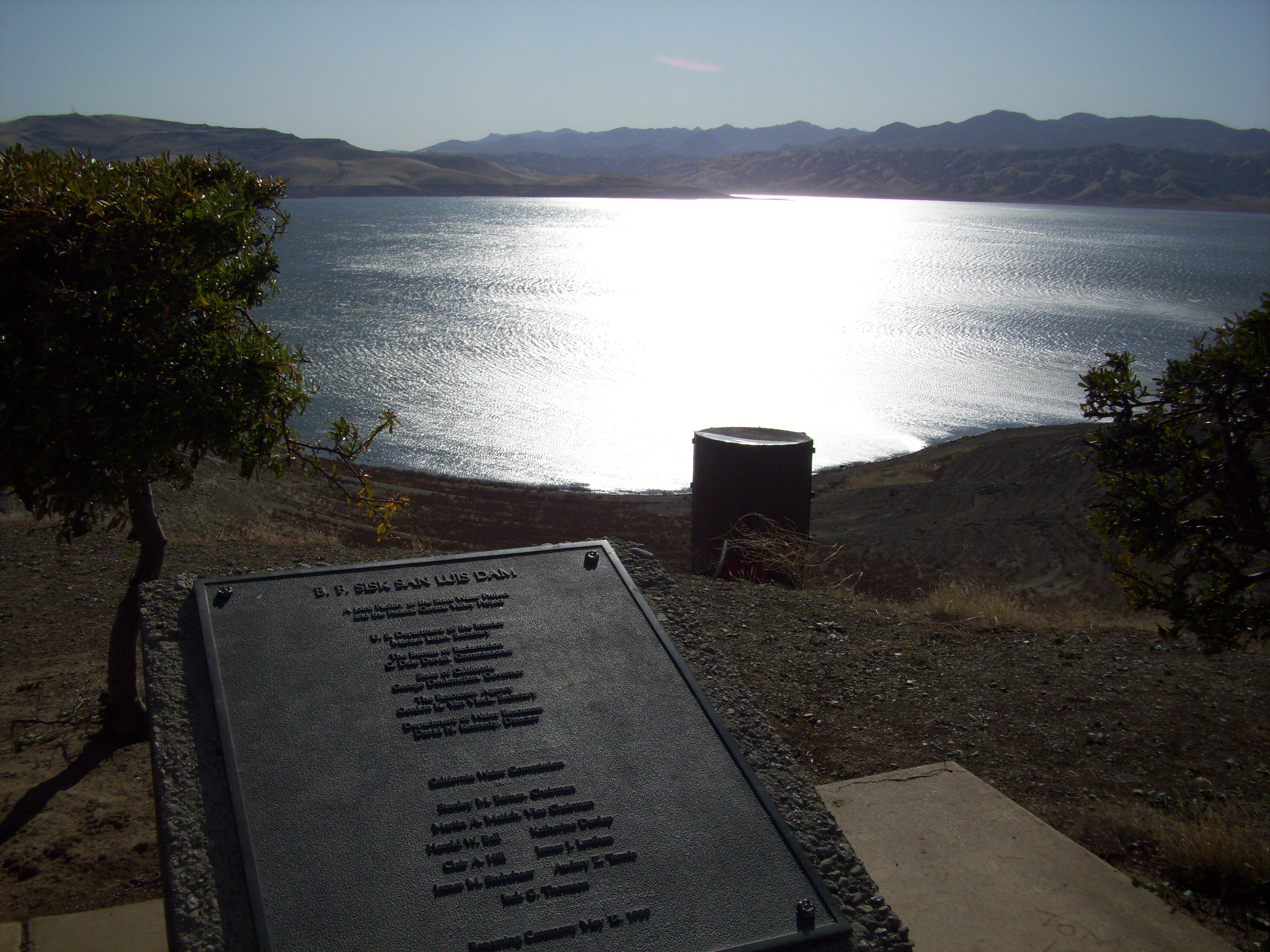
Romero Overlook - San Luis Dam and San Luis Resevoir

Romero Overlook - San Luis Dam and San Luis Resevoir

CHL# 829 PACHECO PASS

Romero Overlook - San Luis Dam and San Luis Resevoir

Romero Overlook - San Luis Dam and San Luis Resevoir

Romero Overlook - San Luis Dam and San Luis Resevoir

122113-426F

Closer view of rock with moss and lichen

San Luis Reservoir
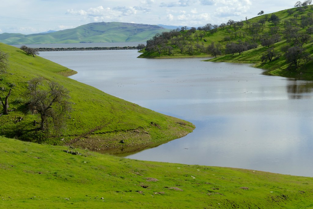
San Luis Reservoir and its arm, divided by highway 152

San Luis Reservoir

closer view of lichen-covered rocks

San Luis Reservoir
in the heartland
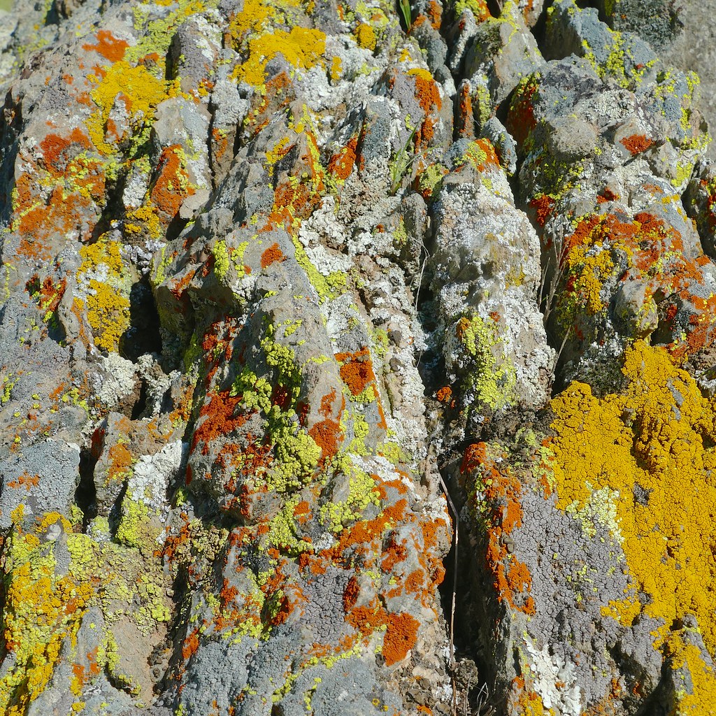
Closer view of lichen
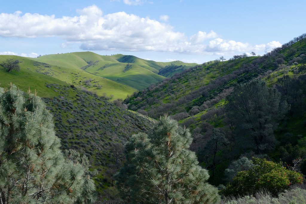
Distant view of hills. Pinus sabiniana, GREY PINE, in foreground

View into Lone Oak Bay and down the southern arm of San Luis Reservoir

California Grassland

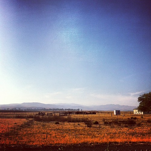
Sunrise and Plowed Field, Gustine, CA

Réservoir San Luis, Californie

Great Blue Heron and Reeds, Merced County, CA

California Aqueduct

Could I have possibly given myself a better Valentine's day gift than to stop here for photos???

Foggy Morning, Merced County, CA

Flores Transport

Dusk and Clouds, Los Banos, CA

Kids on Beach

Storm Clouds, Las Banos, CA

Tule Elk (Cervus canadensis nannodes) at Sunset, San Luis National Wildlife Refuge, California

800 Miles

Oneill Forebay, CA
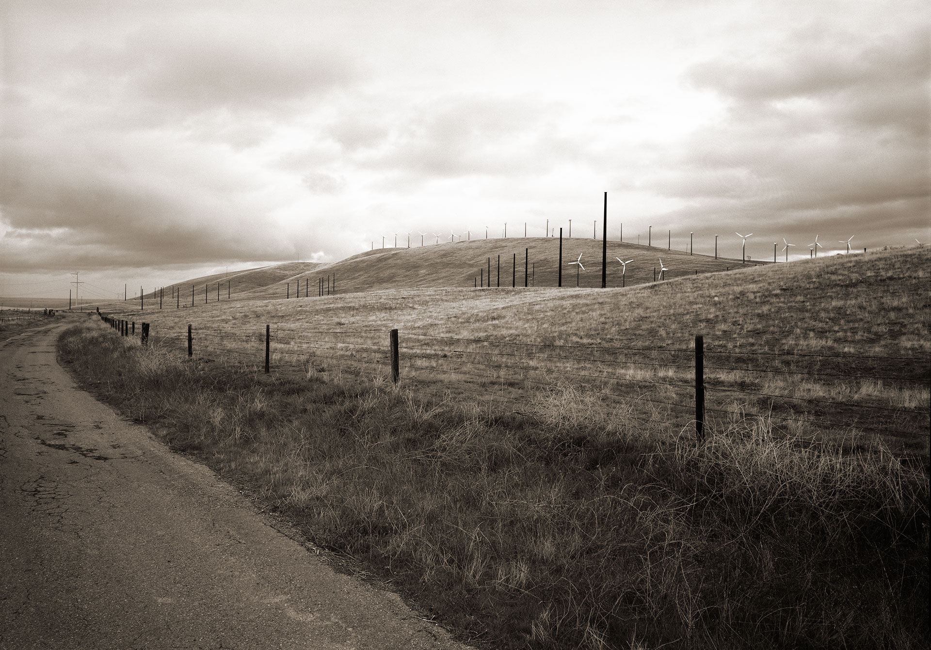
wind farm

O'Neill Forebay, CA

Reyes Trucking

Shadows and Pasture, Merced County, CA

scales closed (lomo). santa nella, ca. 2015.

No Sweat

Crepuscular Rays and Wetlands, Merced County, CA
Topographic Map of Ingomar Rd, Gustine, CA, USA
Find elevation by address:

Places near Ingomar Rd, Gustine, CA, USA:
Ingomar Rd, Gustine, CA, USA
Ingomar
12045 Ingomar Grade
CA-33, Gustine, CA, USA
California 152
Gustine
1558 N St
Newman
437 Bobolink Ct
420 Parliament Way
861 Fig Ln
River Rd, Newman, CA, USA
Anderson Rd, Newman, CA, USA
6575 Mitchell Rd
Crows Landing
CA-33, Patterson, CA, USA
S Central Ave, Turlock, CA, USA
Modesto, Ca
Stanislaus County
Patterson
Recent Searches:
- Elevation of Corso Fratelli Cairoli, 35, Macerata MC, Italy
- Elevation of Tallevast Rd, Sarasota, FL, USA
- Elevation of 4th St E, Sonoma, CA, USA
- Elevation of Black Hollow Rd, Pennsdale, PA, USA
- Elevation of Oakland Ave, Williamsport, PA, USA
- Elevation of Pedrógão Grande, Portugal
- Elevation of Klee Dr, Martinsburg, WV, USA
- Elevation of Via Roma, Pieranica CR, Italy
- Elevation of Tavkvetili Mountain, Georgia
- Elevation of Hartfords Bluff Cir, Mt Pleasant, SC, USA