Elevation of N St, Newman, CA, USA

Location: United States > California > Stanislaus County > Newman >

Longitude: -121.01970

Latitude: 37.3129988

Elevation: 28m / 92feet

Barometric Pressure: 101KPa

Elevation Map:

elevation map of N St, Newman, CA, USA

Satellite Map:

Satellite map of N St, Newman, CA, USA

Related Photos:

smokysunset sunset i5 patterson california longhighway october 2017 californiaaqueduct cloudsstormssunsetssunrises traffic lifeontheroad lightroomcc topazai sonyilce7rm2 fe70200mmf28 gmoss14x alvinharp
open road take me home...
panorama i5 1755mmf28g vistapoint orestimbalookout
orestimba lookout
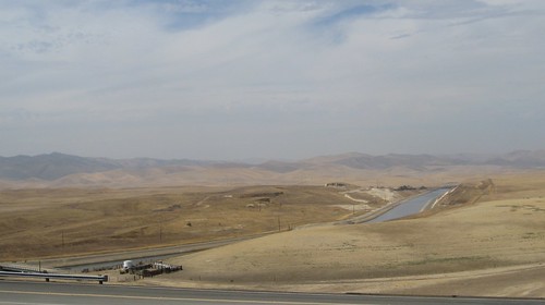
california centralvalley californiaaqueduct statewaterproject
Central Valley California Aqueduct 1450a
california centralvalley californiaaqueduct statewaterproject
Central Valley California Aqueduct 1600a
car honda i5 planet element vistapoint 24105f4l
Planet Element
california centralvalley californiaaqueduct statewaterproject
Central Valley California Aqueduct 1599a
california panorama storm color america nikon highway view country over large panoramic freeway april around stitched 2012 highway5 stanislauscounty d700
around the storm
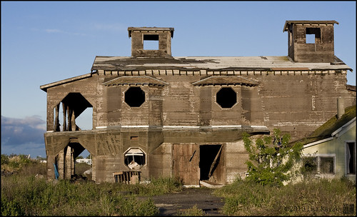
abandoned centralvalley toomuch toobig gaveup toohard constructusinterruptus sojustgaveup
they dreamed dreams. maybe shouldn't have.
patterson california rollinghills cloudscaping clouds april 2017 naturesbeauty sonyilce7rm2 fe24240mm i5 alvinharp
dark waves...
4cornersphoto agriculture atmosphericrefraction california centralvalley field gustine landscape mercedcounty mirage morning nature northamerica outdoor rural sanjoaquinvalley scenery sky sun sunrise telephonepole tree unitedstates weather winter
Sunrise and Plowed Field, Gustine, CA
barn landscape farm farming crop peppers crops agriculture centralvalley centralcalifornia agribusiness
Peppers in the Field
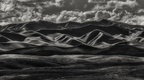
california winter shadow sky blackandwhite weather clouds rural landscape cow us scenery unitedstates cattle hills northamerica newman stanislauscounty diablorange 4cornersphoto
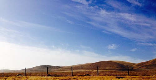
Winter Shadows, Diablo Range, Merced County, CA
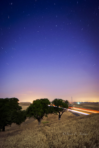
california longexposure nightphotography moon stars lights fullmoon astrophotography nightsky startrails lightpollution polaris lightstreams interstate5 northstar lightdomes
Time travel
california trains railroads emd gustine nre californianorthern gp151 3gs21b geneseewyoming
No Sweat
california statewaterproject californiaaquaduct aquaduct water
California water.
wild water river landscape day central sunny delta bluesky clear valley centralcalifornia sanjoaquinriverwetlands causausnorcal
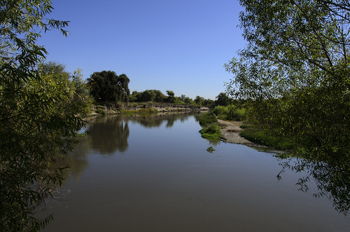
San Joaquin River
california usa landscape
Blue Skies
california morning blue sky landscape highway driving i5 5 bluesky hills freeway april interstate carwindow centralvalley sanjoaquinvalley interstate5 2016 michaelpatrick diablorange mercedcounty interstatehighwaysystem mercedcountycalifornia address:continent=northamerica address:country=unitedstatesofamerica address:state=california address:postalcode=95322 april2016 address:street=interstate5
Interstate 5 near Route 140 and Gustine, April 16, 2016
california usa clouds landscape aqueduct newman hdr
California Aqueduct - Central Valley
sanluisnationalwildliferefuge
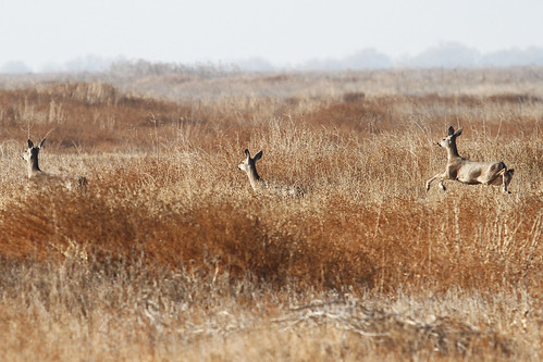
Black Tailed Deer
Artificial river ducking under dry creek bed
water sunrise spring pentax calif sanluis april sanjoaquin centralvalley nationalwildliferefuge nwr 2011 k10d pentaxk10d pentaxart copyrightrichardbeebe copyrightricharddbeebe richardbeebe rbeebe
RB_05-02-11_005a-100_SanLuisNWR
california panorama panoramas
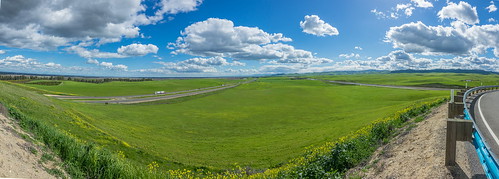
Green hills from viewpoint along I5 near Santa Nella pano1 3-8-19
California Aqueduct
lf 5x7 canham kodak txp txp320 xtol film bw analog blackandwhite 812 commercial ektar
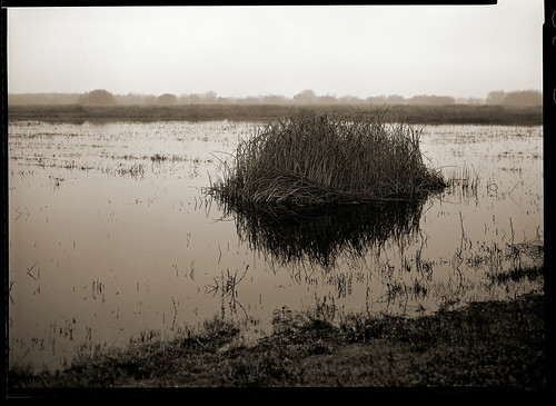
a clump of reeds
california transportation interstates freeways interstate5 i5 stanislauscounty newman centralvalley sanjoaquinvalley
On That Road Again
california landscape i5
California Aqueduct from the Orestemba Vista Point