Elevation of Bobolink Ct, Newman, CA, USA

Location: United States > California > Stanislaus County > Newman >

Longitude: -121.01440

Latitude: 37.3199782

Elevation: 27m / 89feet

Barometric Pressure: 101KPa

Elevation Map:

elevation map of Bobolink Ct, Newman, CA, USA

Satellite Map:

Satellite map of Bobolink Ct, Newman, CA, USA

Related Photos:

smokysunset sunset i5 patterson california longhighway october 2017 californiaaqueduct cloudsstormssunsetssunrises traffic lifeontheroad lightroomcc topazai sonyilce7rm2 fe70200mmf28 gmoss14x alvinharp
open road take me home...
panorama i5 1755mmf28g vistapoint orestimbalookout
orestimba lookout
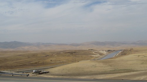
california centralvalley californiaaqueduct statewaterproject
Central Valley California Aqueduct 1450a
california panorama storm color america nikon highway view country over large panoramic freeway april around stitched 2012 highway5 stanislauscounty d700
around the storm
square squareformat ludwig iphoneography instagramapp uploaded:by=instagram
Check out that view
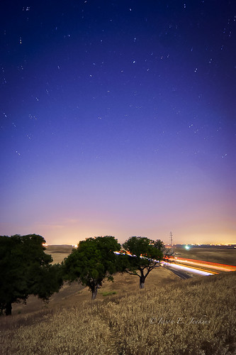
california longexposure nightphotography moon stars lights fullmoon astrophotography nightsky startrails lightpollution polaris lightstreams interstate5 northstar lightdomes
Time travel
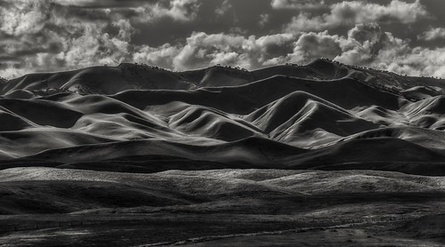
patterson california rollinghills cloudscaping clouds april 2017 naturesbeauty sonyilce7rm2 fe24240mm i5 alvinharp
dark waves...
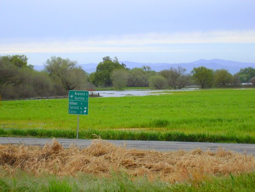
river flood turlock newman ceres hilmar sanjoaquinriver gustine
San Joaquin River overflow
california ca usa water geotagged calif canals cal northamerica newman allrightsreserved centralvalley copyrighted mountainshills californiacentralvalley leicar4 scansfromprints valleyvallies landscapes aqueducts us unitedstates scanned californiacoastrange
US_CA_Central Valley_55214544-24-Edit
california ca usa water geotagged landscapes calif canals cal northamerica newman allrightsreserved centralvalley copyrighted mountainshills californiacentralvalley leicar4 scansfromprints valleyvallies aqueducts us unitedstates scanned californiacoastrange
US_CA_Central Valley_55214544-27-Edit
Sun-reeds
20171104_130045-01
square squareformat hefe iphoneography instagramapp uploaded:by=instagram foursquare:venue=4e30bca545dd01b9139cbc82
December 7, 2012
20171104_130141-01
california panorama
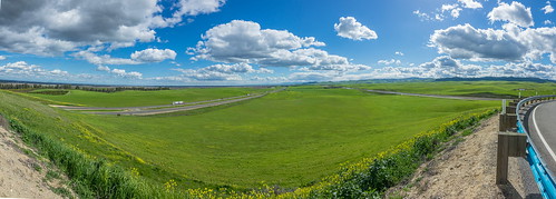
Green hills from viewpoint along I5 near Santa Nella pano1 3-8-19
20171104_175846-01
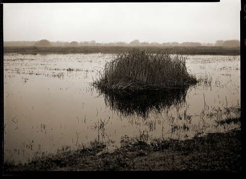
lf 5x7 canham kodak txp txp320 xtol film bw analog blackandwhite 812 commercial ektar
a clump of reeds
california usa landscape
Blue Skies
square squareformat iphoneography instagramapp uploaded:by=instagram
#californialap
barn landscape farm farming crop peppers crops agriculture centralvalley centralcalifornia agribusiness
Peppers in the Field
california landscape i5
California Aqueduct from the Orestemba Vista Point
California Fram-3145
square squareformat iphoneography instagramapp uploaded:by=instagram foursquare:venue=4e532e8a6284ca6a2f6e2cbe
Almost home
On That Road Again
water sunrise spring pentax calif sanluis april sanjoaquin centralvalley nationalwildliferefuge nwr 2011 k10d pentaxk10d pentaxart copyrightrichardbeebe copyrightricharddbeebe richardbeebe rbeebe
RB_05-02-11_005a-100_SanLuisNWR