Elevation of Crows Landing, CA, USA
Location: United States > California > Stanislaus County >
Longitude: -121.07207
Latitude: 37.3937203
Elevation: 35m / 115feet
Barometric Pressure: 101KPa
Elevation Map:
Satellite Map:
Related Photos:
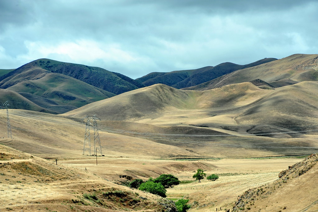
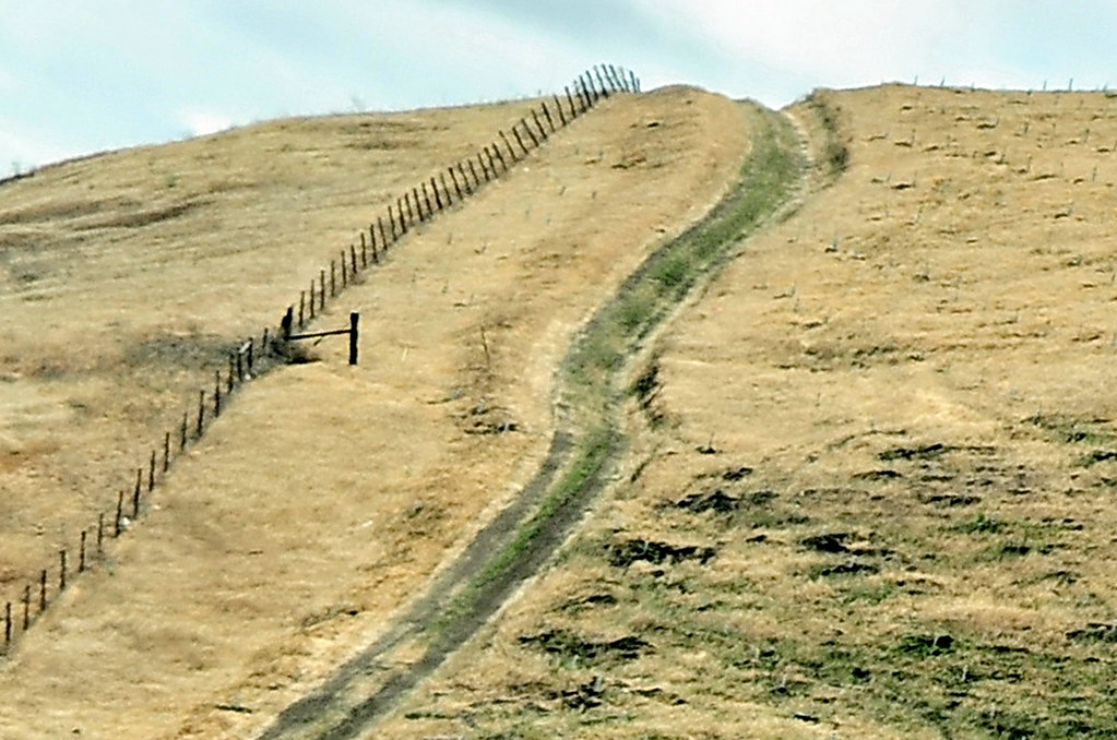
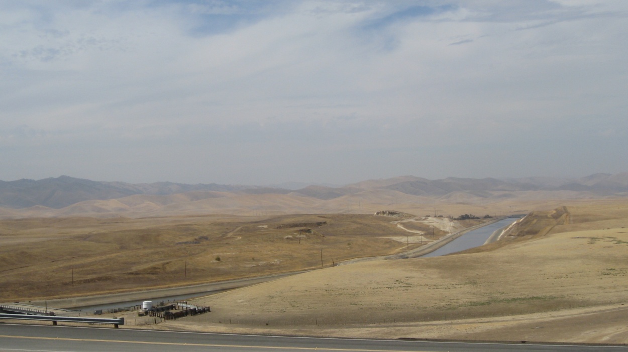
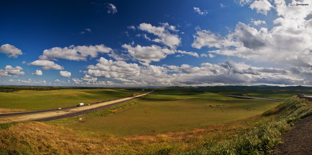
View From The Coast to Yosemite NP

View From The Coast to Yosemite NP

View From The Coast to Yosemite NP
View From The Coast to Yosemite NP
View From The Coast to Yosemite NP
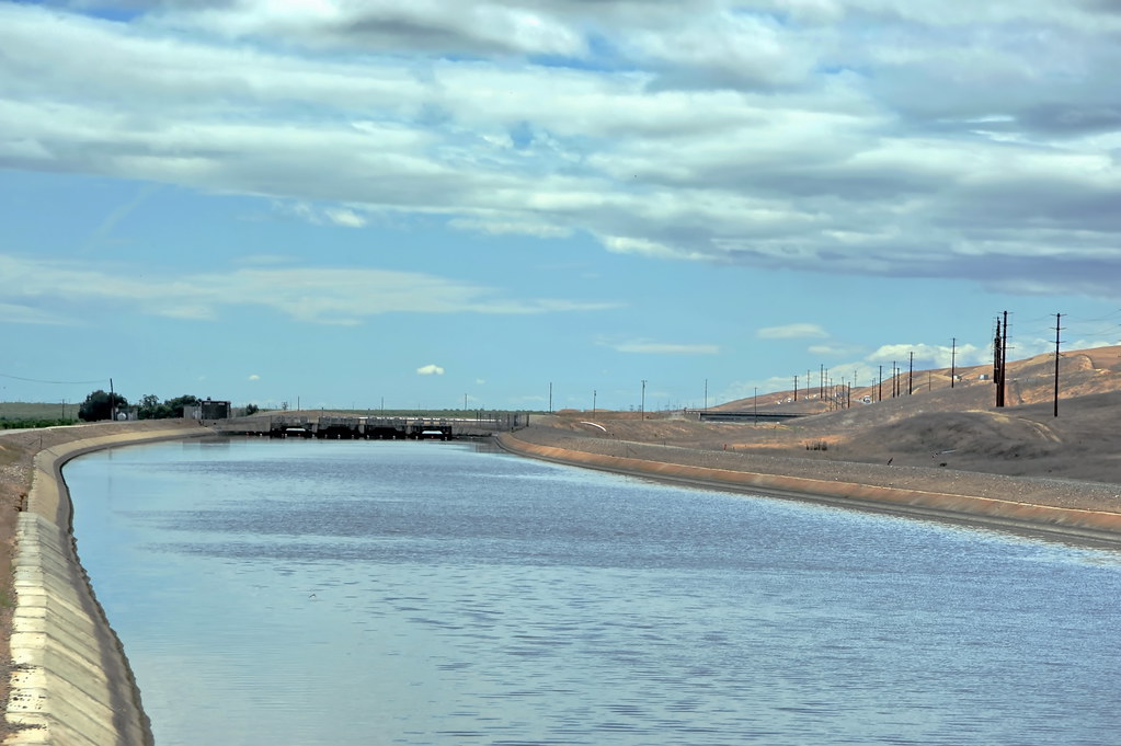
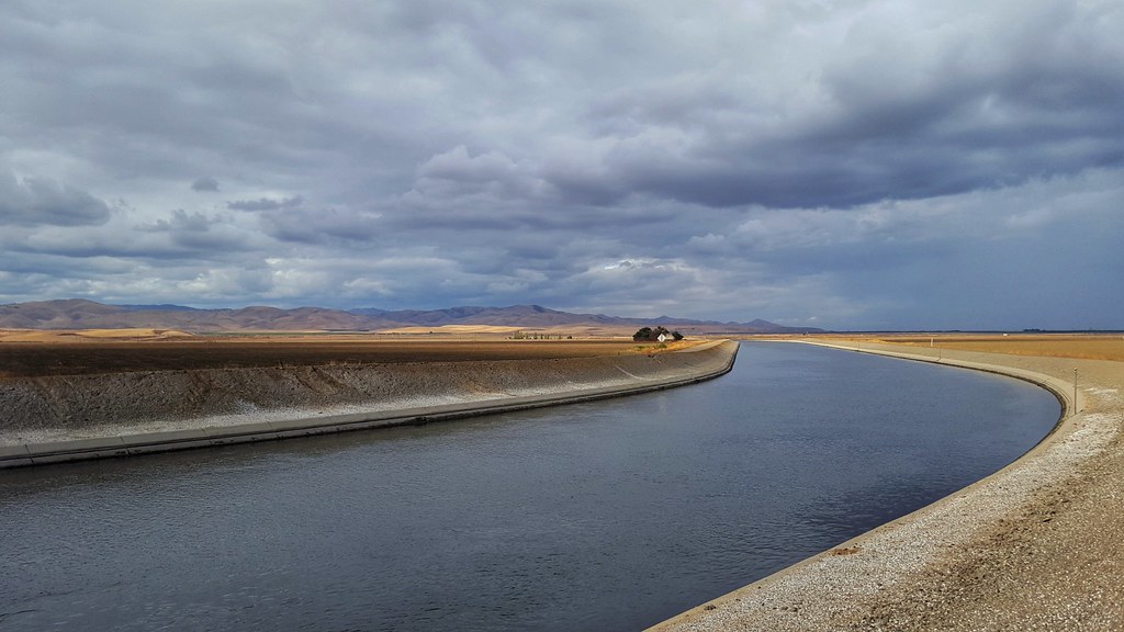
Central Valley California Aqueduct 1450a

View From The Coast to Yosemite NP

View From The Coast to Yosemite NP
orestimba lookout

Diablo Grande Backyard
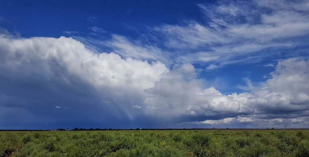
around the storm

View From The Coast to Yosemite NP

dark waves...

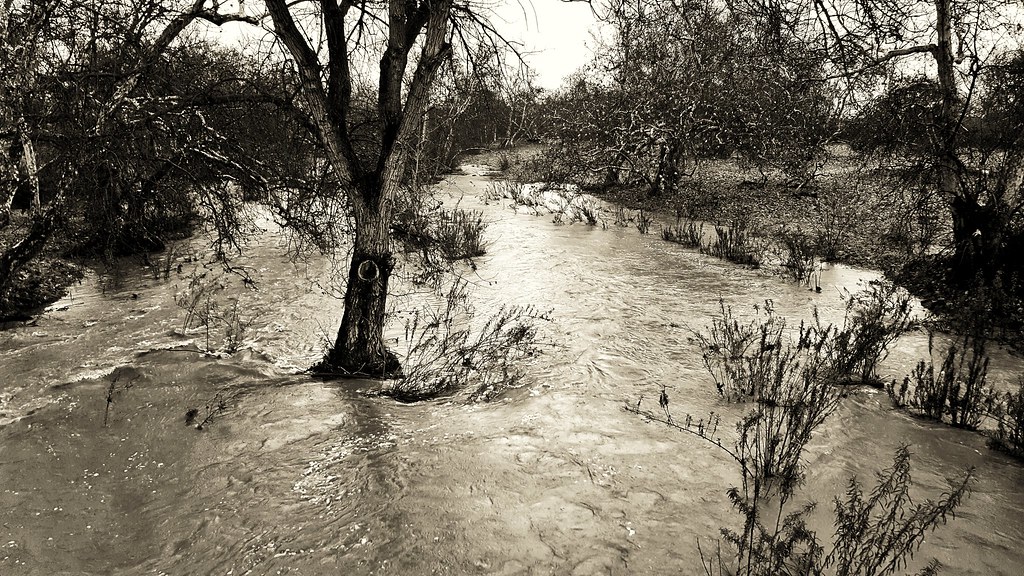
Time travel
20180416_144553-01
20170108_123925-01

Ptown Sunrise

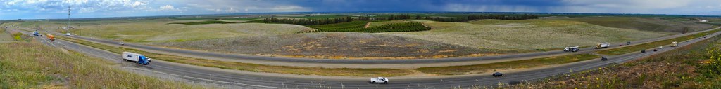
Off The 5

20180417_194355-01

20170907_064108-01

20170828_185153-01
20171104_130045-01
20180425_194852-01

Central Valley rest stop

20180202_065517-01

20170912_064855-01
December 7, 2012

20170926_184658-01
Topographic Map of Crows Landing, CA, USA
Find elevation by address:

Places near Crows Landing, CA, USA:
Anderson Rd, Newman, CA, USA
CA-33, Patterson, CA, USA
861 Fig Ln
437 Bobolink Ct
420 Parliament Way
Newman
1558 N St
Patterson
River Rd, Newman, CA, USA
6575 Mitchell Rd
Modesto, Ca
Stanislaus County
S Central Ave, Turlock, CA, USA
2037 Loquat Ave
Gustine
Diablo Grande Parkway
9695 Cabernet Ct
3567 Young Rd
Diablo Grande Golf & Country Club
Westley
Recent Searches:
- Elevation of Corso Fratelli Cairoli, 35, Macerata MC, Italy
- Elevation of Tallevast Rd, Sarasota, FL, USA
- Elevation of 4th St E, Sonoma, CA, USA
- Elevation of Black Hollow Rd, Pennsdale, PA, USA
- Elevation of Oakland Ave, Williamsport, PA, USA
- Elevation of Pedrógão Grande, Portugal
- Elevation of Klee Dr, Martinsburg, WV, USA
- Elevation of Via Roma, Pieranica CR, Italy
- Elevation of Tavkvetili Mountain, Georgia
- Elevation of Hartfords Bluff Cir, Mt Pleasant, SC, USA