Elevation of East Oakdale, CA, USA

Location: United States > California > Stanislaus County >

Longitude: -120.80382

Latitude: 37.7879834

Elevation: 46m / 151feet

Barometric Pressure: 101KPa

Elevation Map:

elevation map of East Oakdale, CA, USA

Satellite Map:

Satellite map of East Oakdale, CA, USA

Related Photos:

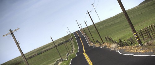
california road grass raw fav50 hills pasture tele hdr 3xp photomatix telegraphcity nex6
No, this is not a crop duster making a turn!
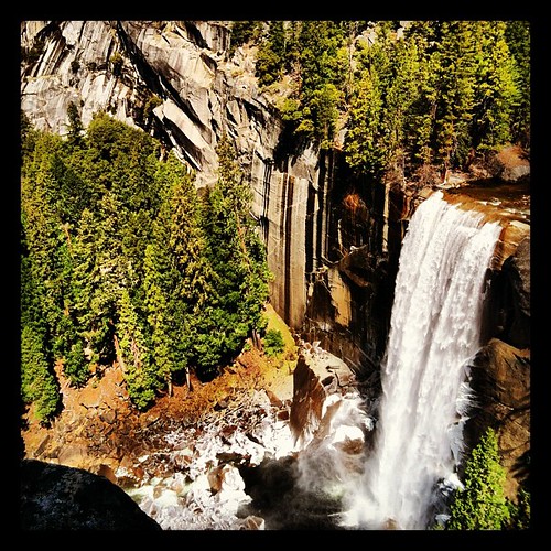
square squareformat hefe iphoneography instagramapp uploaded:by=instagram foursquare:venue=4dfbe97ed164848a03f3f1a1
View.
california ca triptoyosemite
Trip to Yosemite 014
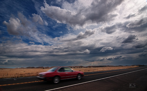
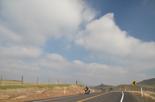
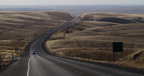
road blue red black car clouds golden highway action drama oakdale 1224mm hwy120 hwy108 lightroom3 d300s adobephotoshopcs4
Action & Drama
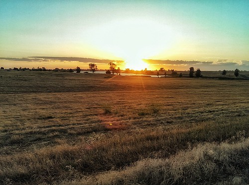
california sunset knightsferry travelmemories
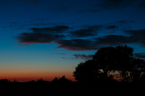
Late sunset at Knights Ferry
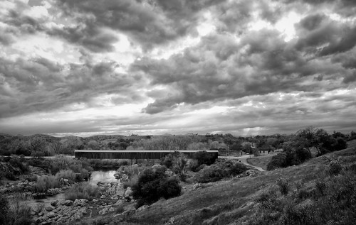
bridge covered hdri knightsferry travelmemories
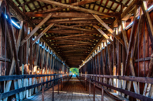
Covered bridge interior
Day 271: Knight's Ferry
california ca triptoyosemite
Trip to Yosemite 015
california ca triptoyosemite
Trip to Yosemite 012
hummingbird experiment
DSC_3456 tightest crop
california ca triptoyosemite
Trip to Yosemite 013
california ca triptoyosemite
Trip to Yosemite 017
california signs night commute warnervilleroad timbellroad
the birds like the one with the best view
california nature landscape farm
Central Valley
The roads of California, № 108 leads in Yosemite National Park.
square squareformat iphoneography instagramapp xproii uploaded:by=instagram foursquare:venue=503a8718e4b0d21891e49b40
On the way home from
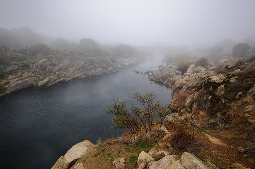
mist nature water fog river landscape nikon d300 knightsferry keithwerner
Stanislaus River -Covered Bridge in Fog
Islands In The Sky
pink blue trees sunset red orange black water silhouette yellow landscape canal wires telephonepoles
blue trees sky sunlight nature grass landscape nikon rocks d300 knightsferry nikoncapturenx keithwerner paintshopproxii
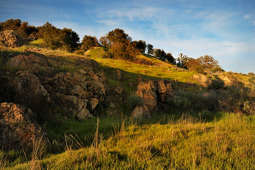
Rock Outcropping
IMAG2281-01
sony coveredbridge knightsferry
Today's Weather Forecast -- Not a dang cloud in the sky.
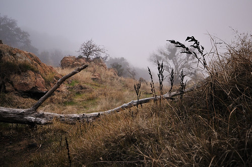
mist nature fog landscape weeds nikon branch d300 knightsferry keithwerner
Dead Branch Across Path
Stanislaus River
california night commute warnervilleroad timbellroad
IMG 1495
Knights Ferry Bridge and Stanislaus River
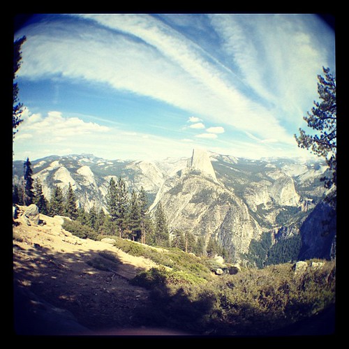
Half Dome, Yosemite
square lofi squareformat iphoneography instagramapp uploaded:by=instagram foursquare:venue=4bd24ab2046076b0f5c37371
Can you see the little tiny cows out there? This is what 90 miles east of Oakland looks like.
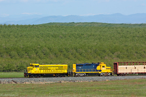
railroad train railway trains local freighttrain sierranorthern seraoakdalebranch sera52 fasslerflyer paulsellcalifornia
Sierra Northern Rolling Along at Paulsell
nikon day nikond70s clear dslr
IMG_3374-a19
California wild flowers
nature water clouds river landscape nikon rocks d300 knightsferry keithwerner
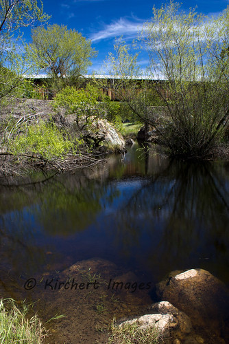
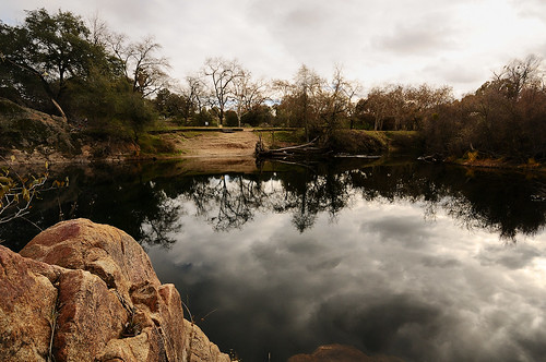
Still Waters
square squareformat iphoneography instagramapp xproii uploaded:by=instagram
Homecoming...got beat up on Alcatraz. ><