Elevation of River Bluff Dr, Oakdale, CA, USA
Location: United States > California > San Joaquin County > Oakdale >
Longitude: -120.84395
Latitude: 37.7792084
Elevation: 45m / 148feet
Barometric Pressure: 101KPa
Elevation Map:
Satellite Map:
Related Photos:
Jan 2008 meeting 02
View.
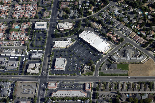
An aerial view of the intersection of Coffee Road and Sylvan Avenue Modesto California

Longs Drugs, Oakdale Rd. and Floyd Ave., Modesto, CA (Pre-CVS for now)

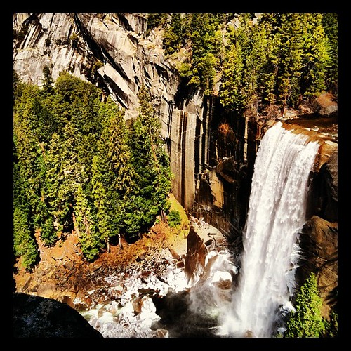
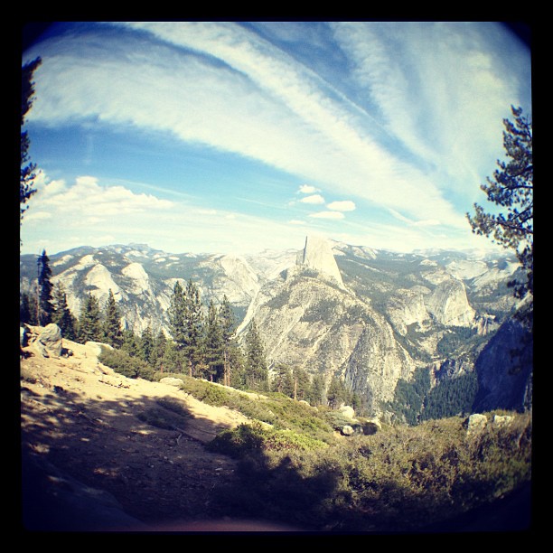
Trip to Yosemite 015

Todds Viewing Sphere

Lotus Garden with Photographers

Trip to Yosemite 017

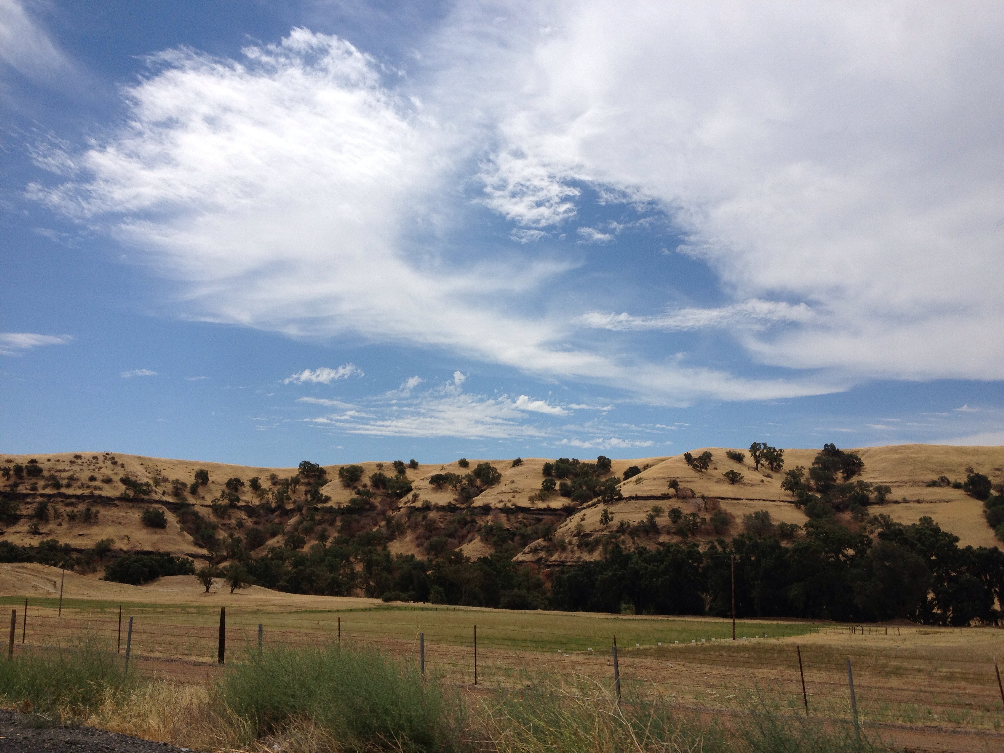
Central Valley

DSC_0015-a2

Our #view of the #grotto @symbiosisgathering #symbiosisgathering #trippylights #lights #psytrance

Had a great #view of the #firedancers at the #familycircus @symbiosisgathering #symbiosisgathering #firefan #gonnahireafiredancerfornewyearseve

Trip to Yosemite 013

Trip to Yosemite 012
the birds like the one with the best view
Just Burbling Along
Southwestern Landscape
Southwestern Landscape

Homecoming...got beat up on Alcatraz. ><
On the way home from
Buscando un poco de amor. Encuentro de nubes
Lake near San Francisco
Islands In The Sky
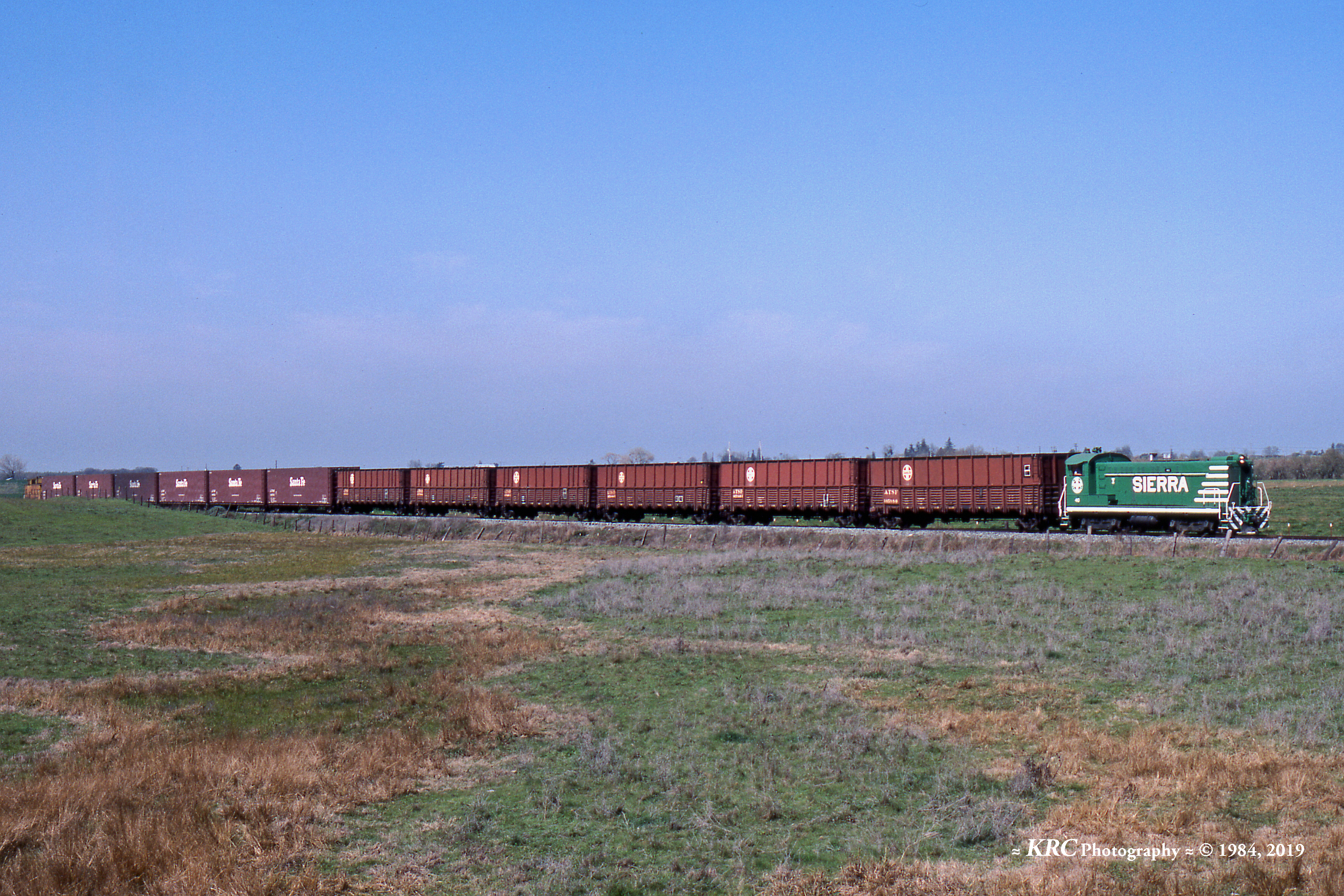
Sierra Northern Rolling Along at Paulsell

☀

Can you see the little tiny cows out there? This is what 90 miles east of Oakland looks like.
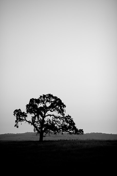
Oak Tree

egret on winter pond

Two Lips to the Sun
Riverbank, CA by GraphiczBoy
RB_02-26-11_010a-100_StanislausCo-OldSonoraRd
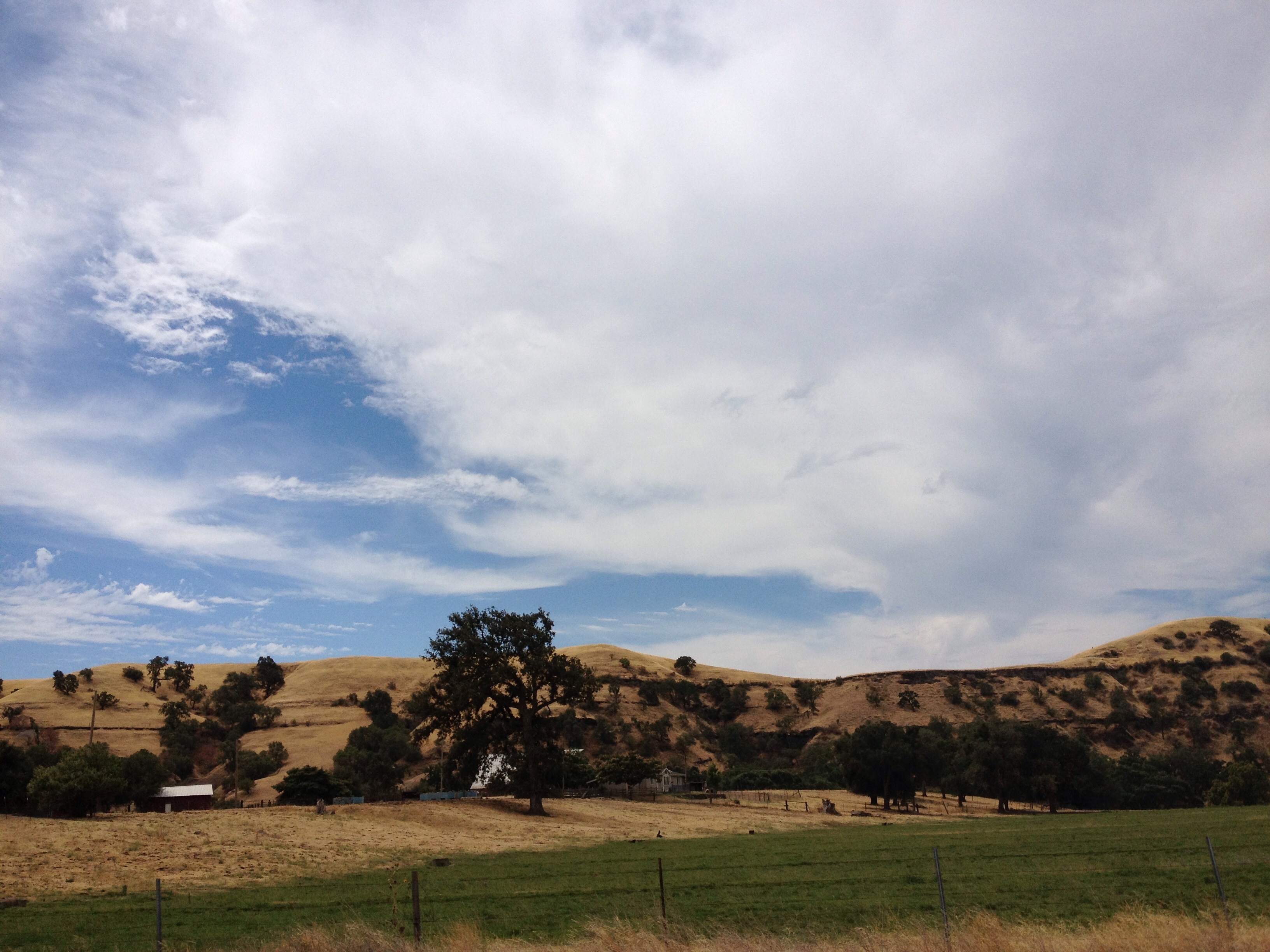
California Hill

Oakdale Sunset
Hwy 120 to Hetch Hetchy
Knights Ferry
Topographic Map of River Bluff Dr, Oakdale, CA, USA
Find elevation by address:

Places near River Bluff Dr, Oakdale, CA, USA:
1403 E C St
1519 Irvin Ct
Oakdale
Gilbert Rd, Oakdale, CA, USA
East Oakdale
Rodden Rd, Oakdale, CA, USA
11337 Scarlet Oak Dr
11530 Oak Hill Dr
Oakdale-Waterford Hwy, Oakdale, CA, USA
Santa Fe St, Riverbank, CA, USA
Riverbank
3303 S Rose Brook Dr
5406 Milnes Rd
3304 Fetereia Dr
2309 Abinash Ct
4112 E Orangeburg Ave
3308 Dauphine St
4100 E Orangeburg Ave
3121 Roland Gardens Ln
1900 Paramont Way
Recent Searches:
- Elevation of Corso Fratelli Cairoli, 35, Macerata MC, Italy
- Elevation of Tallevast Rd, Sarasota, FL, USA
- Elevation of 4th St E, Sonoma, CA, USA
- Elevation of Black Hollow Rd, Pennsdale, PA, USA
- Elevation of Oakland Ave, Williamsport, PA, USA
- Elevation of Pedrógão Grande, Portugal
- Elevation of Klee Dr, Martinsburg, WV, USA
- Elevation of Via Roma, Pieranica CR, Italy
- Elevation of Tavkvetili Mountain, Georgia
- Elevation of Hartfords Bluff Cir, Mt Pleasant, SC, USA