Elevation of Gilbert Rd, Oakdale, CA, USA
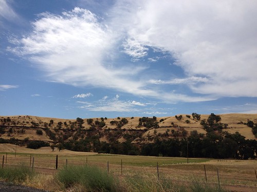
Location: United States > California > San Joaquin County > Oakdale >

Longitude: -120.86197

Latitude: 37.789179

Elevation: 59m / 194feet

Barometric Pressure: 101KPa

Elevation Map:

elevation map of Gilbert Rd, Oakdale, CA, USA

Satellite Map:

Satellite map of Gilbert Rd, Oakdale, CA, USA

Related Photos:

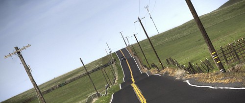
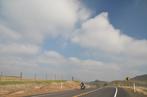
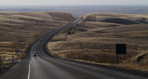
california road grass raw fav50 hills pasture tele hdr 3xp photomatix telegraphcity nex6
No, this is not a crop duster making a turn!
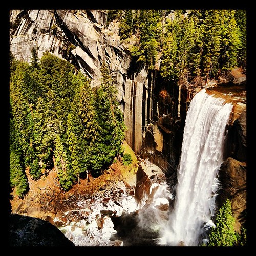
square squareformat hefe iphoneography instagramapp uploaded:by=instagram foursquare:venue=4dfbe97ed164848a03f3f1a1
View.
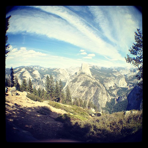
california ca triptoyosemite
Trip to Yosemite 014
life thanksgiving family friends people holiday person living modesto human humans bipeds sethhall sethtylerhall azshall polygonkickstand pixill
Todds Viewing Sphere
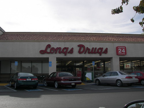
california modesto cvs longs longsdrugs rebranding
Longs Drugs, Oakdale Rd. and Floyd Ave., Modesto, CA (Pre-CVS for now)
california ca triptoyosemite
Trip to Yosemite 015
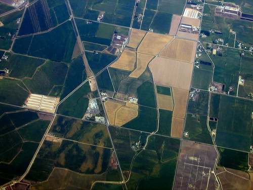
california usa america unitedstates unitedstatesofamerica central aerial fromabove modesto valley fromtheair sanjoaquin
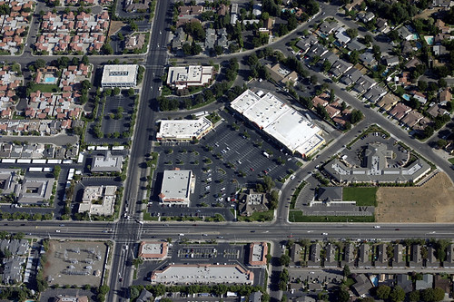
An aerial view of the intersection of Coffee Road and Sylvan Avenue Modesto California
california ca triptoyosemite
Trip to Yosemite 012
california flower green lotus photographers lotusgarden
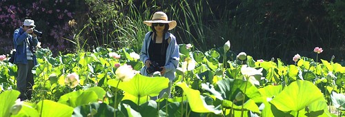
Lotus Garden with Photographers
Jan 2008 meeting 02
california thanksgiving ca family party holiday home dinner modesto 209 2009 sethhall azshall
Ants eye view of Elliot
california nature landscape farm
Central Valley
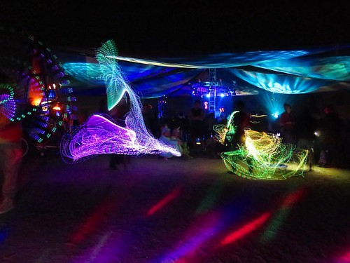
instagramapp square squareformat iphoneography uploaded:by=instagram
Had a great #view of the #firedancers at the #familycircus @symbiosisgathering #symbiosisgathering #firefan #gonnahireafiredancerfornewyearseve
instagramapp square squareformat iphoneography uploaded:by=instagram
Our #view of the #grotto @symbiosisgathering #symbiosisgathering #trippylights #lights #psytrance
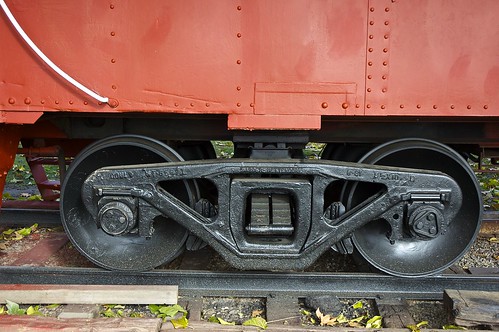
california santafe train nikon nikond70s caboose dslr bnsf escalon escaloncalifornia timkenbearing bettendorftruck rollerbearingjournals atsfcaboose999465
DSC_0015-a2
california ca triptoyosemite
Trip to Yosemite 013
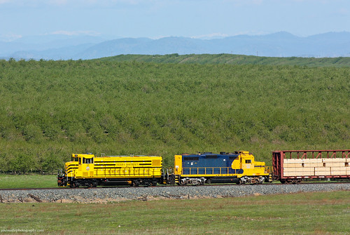
railroad train railway trains local freighttrain sierranorthern seraoakdalebranch sera52 fasslerflyer paulsellcalifornia
Sierra Northern Rolling Along at Paulsell
The roads of California, № 108 leads in Yosemite National Park.
square squareformat iphoneography instagramapp xproii uploaded:by=instagram foursquare:venue=503a8718e4b0d21891e49b40
On the way home from
square willow squareformat iphoneography instagramapp uploaded:by=instagram
Buscando un poco de amor. Encuentro de nubes
Islands In The Sky
IMAG2281-01
nikon day nikond70s clear dslr
IMG_3374-a19
square lofi squareformat iphoneography instagramapp uploaded:by=instagram foursquare:venue=4bd24ab2046076b0f5c37371
Can you see the little tiny cows out there? This is what 90 miles east of Oakland looks like.
California wild flowers
square squareformat iphoneography instagramapp xproii uploaded:by=instagram
Homecoming...got beat up on Alcatraz. ><
eyefi
P1010404.JPG
egret on winter pond
Along Highway 108
uploaded:by=flickrmobile flickriosapp:filter=nofilter
Riverbank, CA by GraphiczBoy
square nashville squareformat iphoneography instagramapp uploaded:by=instagram foursquare:venue=4c9d3b037c096dcbf534c9d1
high school football #sunset #sky #russellreno #riverbank #riverbank #igers #instahot #instagood #instamood #instadaily ##love
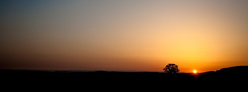
california landscape dawn
Sunrise and Oaktree
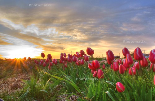
flowers sky tulips hdr sonyalphadslra200
Two Lips to the Sun
square squareformat normal iphoneography instagramapp uploaded:by=instagram foursquare:venue=4e922ae4722e0a4c11f275c5
Oakdale Sunset
landscape southwestern
Southwestern Landscape