Elevation of Riverbank, CA, USA
Location: United States > California > Stanislaus County >
Longitude: -120.93548
Latitude: 37.7360396
Elevation: 44m / 144feet
Barometric Pressure: 101KPa
Elevation Map:
Satellite Map:
Related Photos:
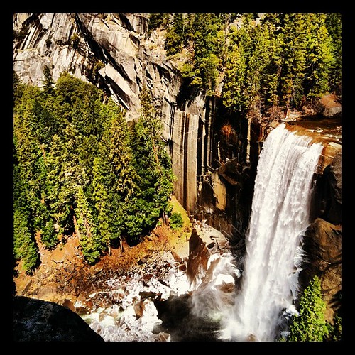
View.

Water Wealth Contentment Health
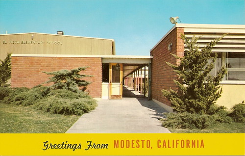
El Vista Elementary School, 1950s
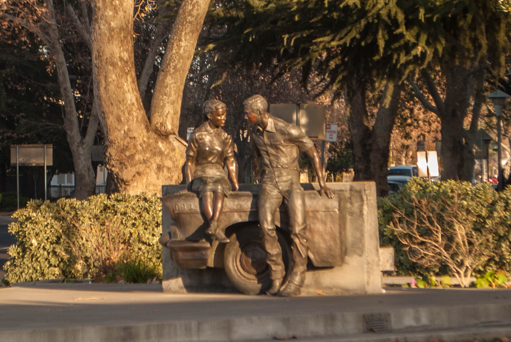
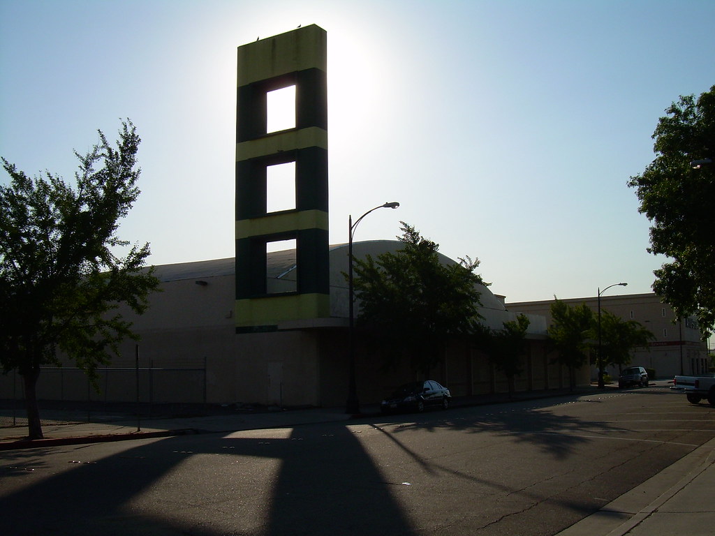
George Lucas Plaza

The view from Karen's bluff at Lakewood Cemetery. It's a beautiful place for such a beautiful person. It's very quiet and peaceful here. ..

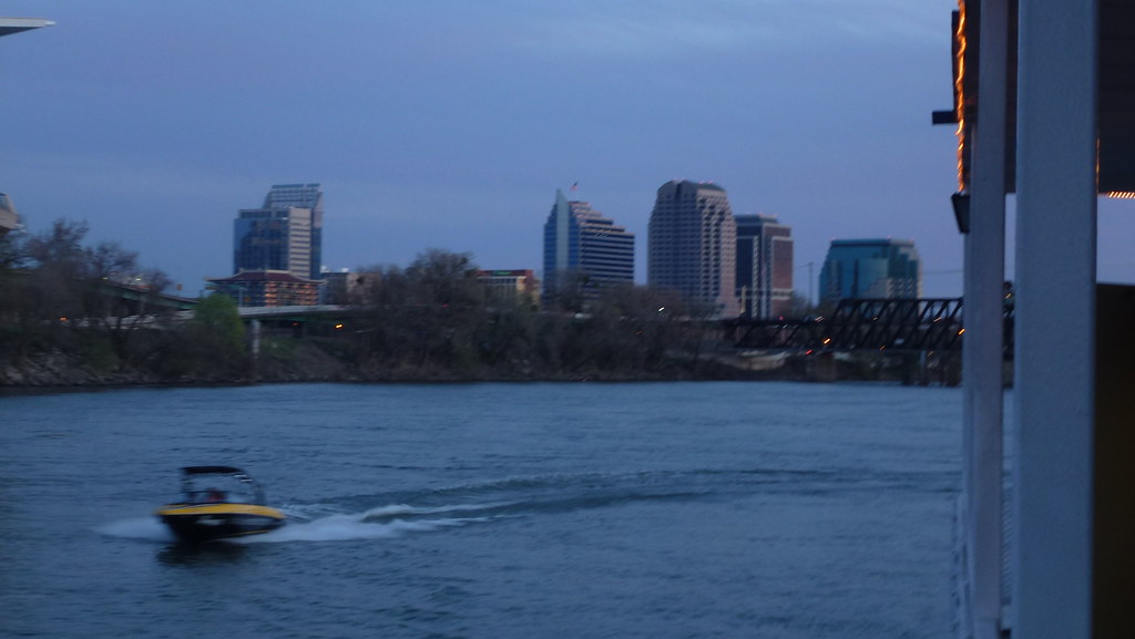
9th Street Bridge

2200 Caswell Avenue
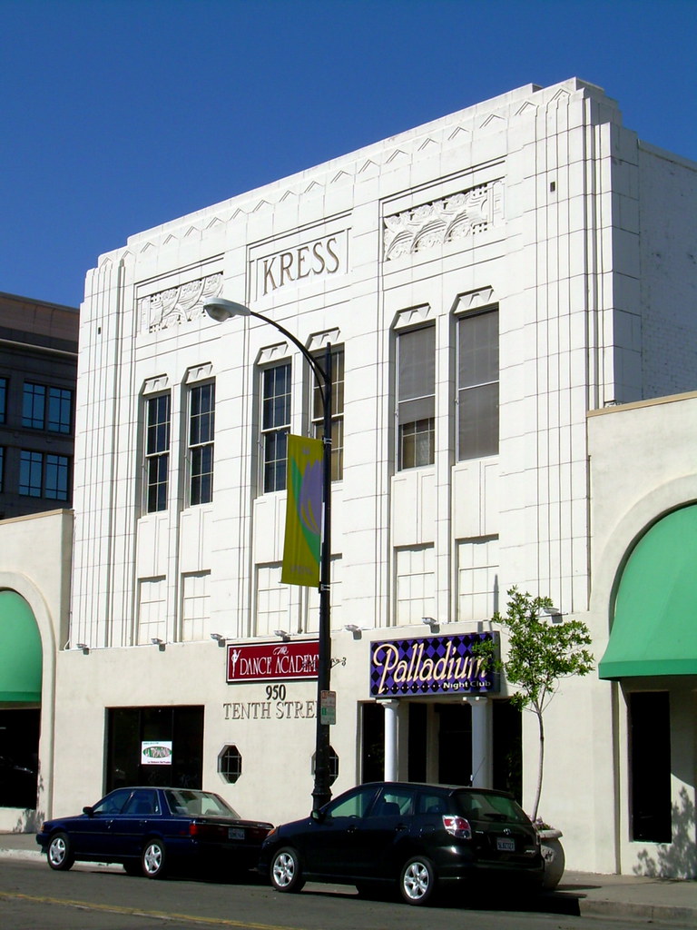
Former Kress Department Store- Modesto, Ca.

9th and K Street, Modesto, CA.
Lucky Supermarket, 2006

Todds Viewing Sphere

Kansas Avenue

Longs Drugs, Oakdale Rd. and Floyd Ave., Modesto, CA (Pre-CVS for now)
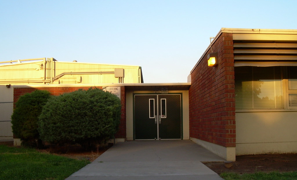
El Vista Elementary School, 2006

Autumn Leaves 2

Fast Eddie's MOAB - Modesto, CA
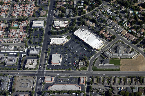
An aerial view of the intersection of Coffee Road and Sylvan Avenue Modesto California
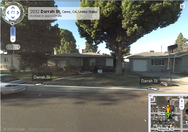
2032 Darrah St Ceres California

Pelandale Avenue
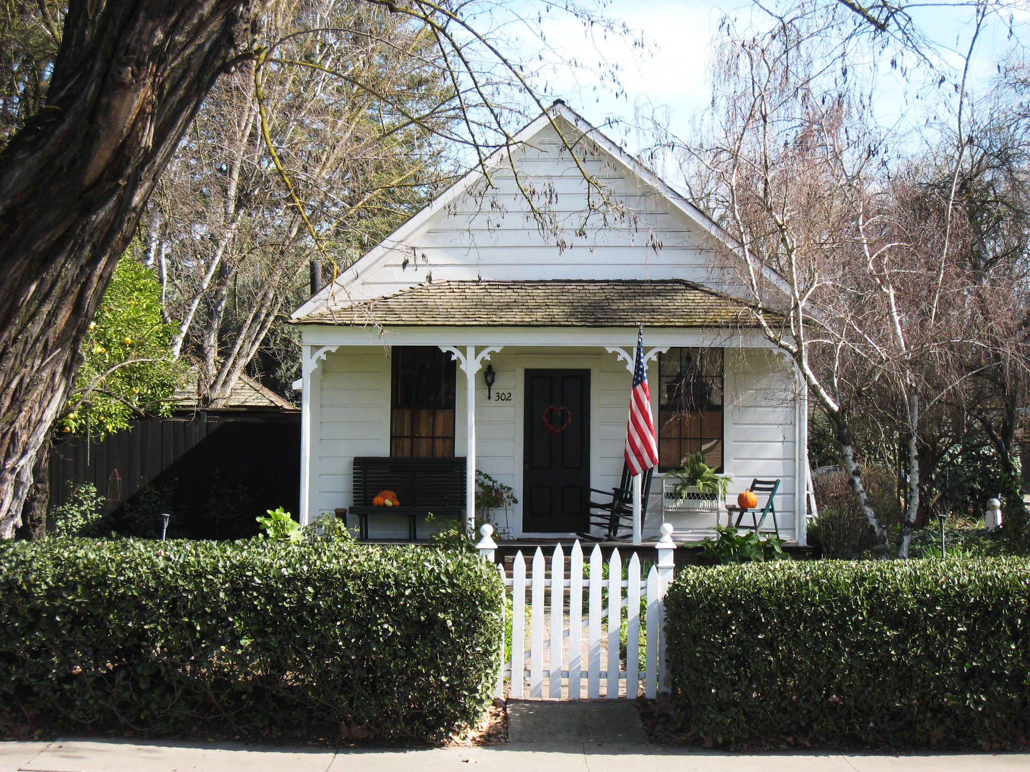
302 Burney St

9th and K Street, Modesto, CA.

Oak grove
ACe is the place!
Valley Stroll
On the way home from

Downey Defeats Johansen ~ 49-8

Modesto Barn

On the bridge - this was also taken when I was in Seattle
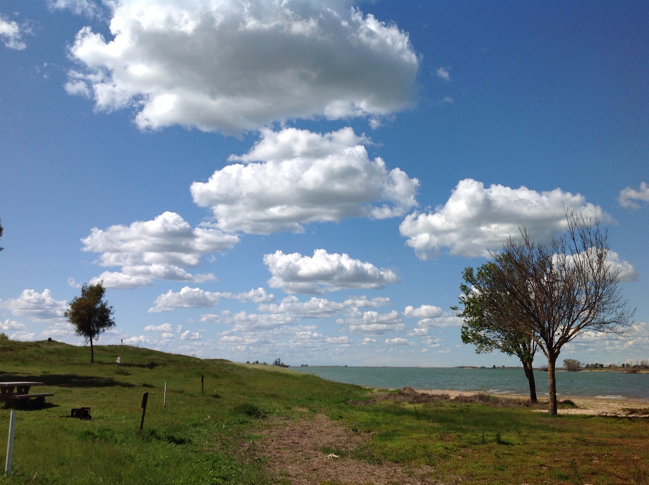
Islands In The Sky
IMAG2281-01

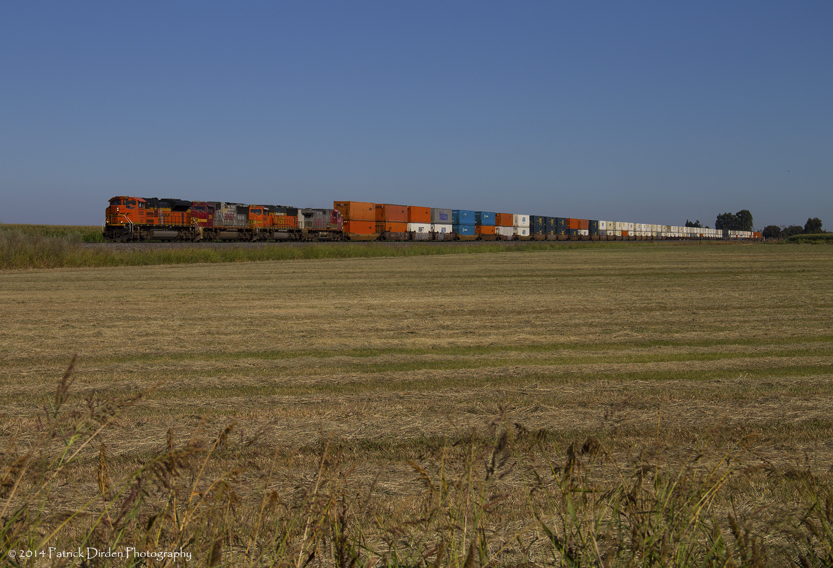
Can you see the little tiny cows out there? This is what 90 miles east of Oakland looks like.

California wild flowers
Homecoming...got beat up on Alcatraz. ><
P1010404.JPG

egret on winter pond

Along Highway 108
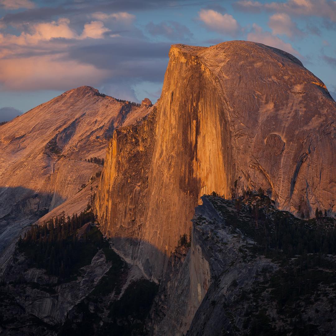
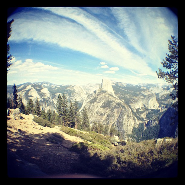
Half Dome in Yosemite National Park #halfdome #magasinetreiselyst #yosemite #yosemitenationalpark #tunliweb

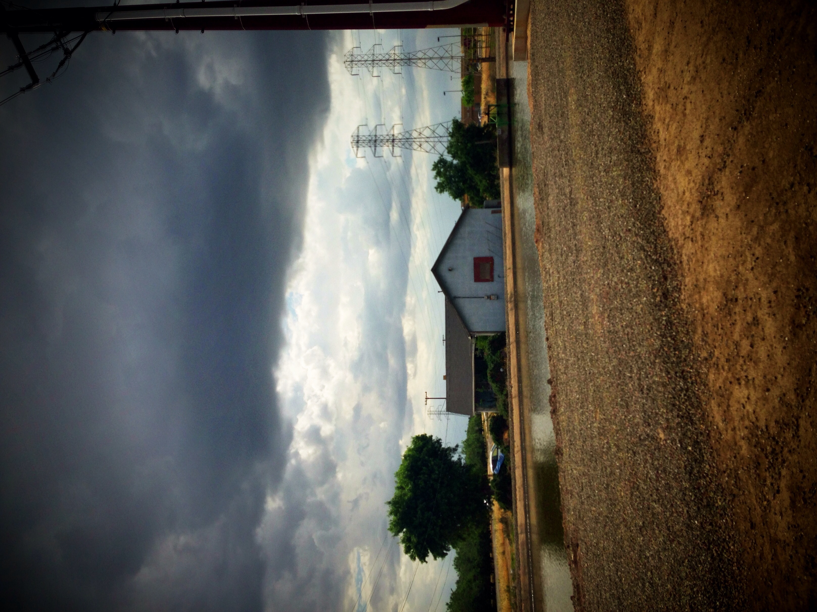
high school football #sunset #sky #russellreno #riverbank #riverbank #igers #instahot #instagood #instamood #instadaily ##love
Riverbank, CA by GraphiczBoy
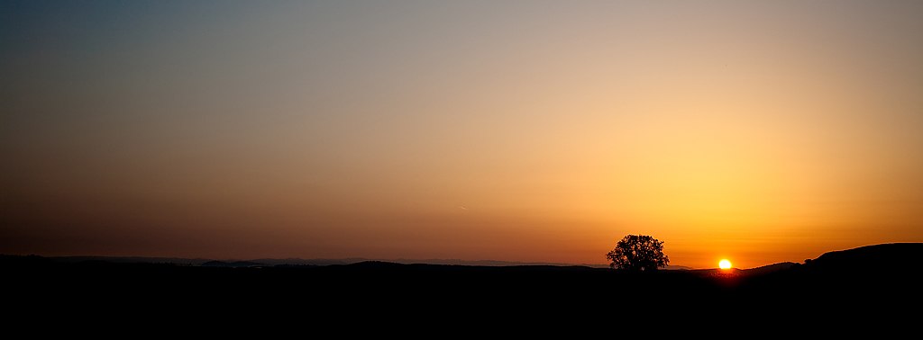
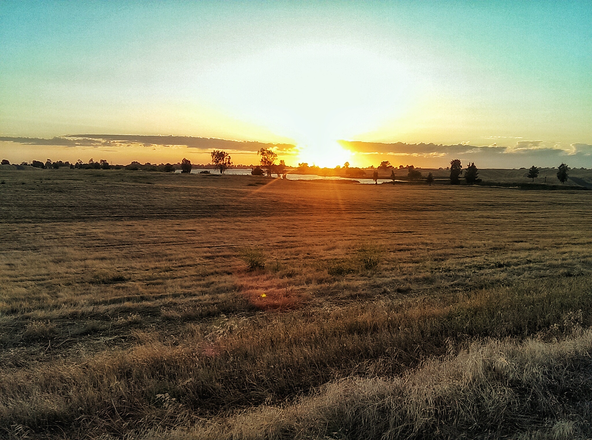
Sunrise and Oaktree

Two Lips to the Sun
Topographic Map of Riverbank, CA, USA
Find elevation by address:

Places in Riverbank, CA, USA:
Places near Riverbank, CA, USA:
Santa Fe St, Riverbank, CA, USA
3303 S Rose Brook Dr
3304 Fetereia Dr
2309 Abinash Ct
3121 Roland Gardens Ln
3308 Dauphine St
1900 Paramont Way
5406 Milnes Rd
4100 E Orangeburg Ave
4112 E Orangeburg Ave
3305 Birmingham Dr
3575 Birmingham Dr
Gilbert Rd, Oakdale, CA, USA
Oakdale
1200 River Bluff Dr
555 Mariposa Rd
1403 E C St
1519 Irvin Ct
Oakdale-Waterford Hwy, Oakdale, CA, USA
East Oakdale
Recent Searches:
- Elevation of Corso Fratelli Cairoli, 35, Macerata MC, Italy
- Elevation of Tallevast Rd, Sarasota, FL, USA
- Elevation of 4th St E, Sonoma, CA, USA
- Elevation of Black Hollow Rd, Pennsdale, PA, USA
- Elevation of Oakland Ave, Williamsport, PA, USA
- Elevation of Pedrógão Grande, Portugal
- Elevation of Klee Dr, Martinsburg, WV, USA
- Elevation of Via Roma, Pieranica CR, Italy
- Elevation of Tavkvetili Mountain, Georgia
- Elevation of Hartfords Bluff Cir, Mt Pleasant, SC, USA