Elevation of Brook Way, Waterford, CA, USA
Location: United States > California > Stanislaus County > Waterford >
Longitude: -120.74570
Latitude: 37.6392186
Elevation: 40m / 131feet
Barometric Pressure: 101KPa
Elevation Map:
Satellite Map:
Related Photos:
On The Outside Looking In

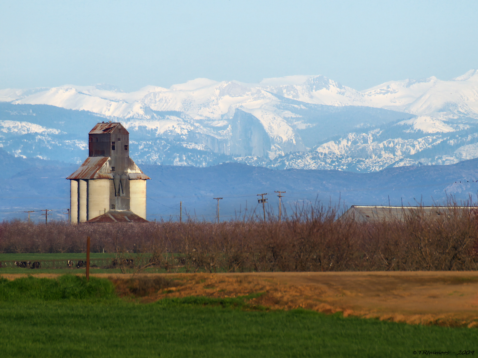
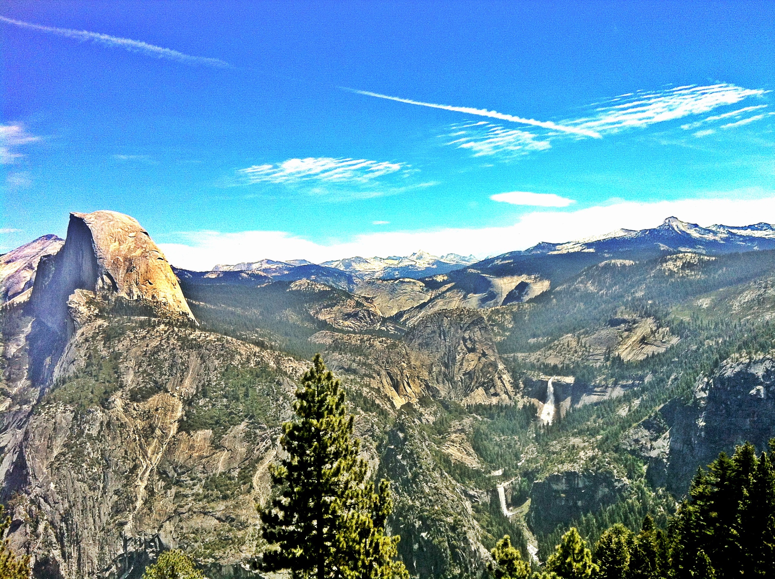
Distant View - Half Dome from 68.99 miles (Merriam and E Taylor roads)
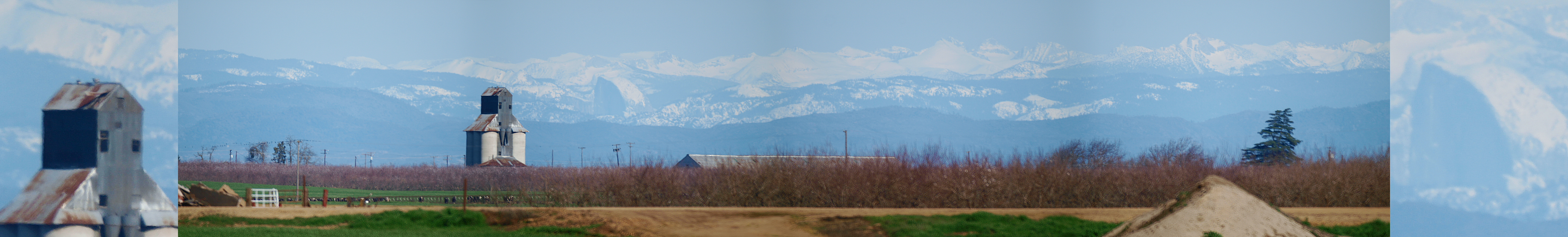
Yosemite NP and Half Dome from Denair, CA

The view from Karen's bluff at Lakewood Cemetery. It's a beautiful place for such a beautiful person. It's very quiet and peaceful here. ..
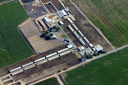
Aerial View of a Cattle Farm

the birds like the one with the best view

This Will Outlive Us

Central Valley
A Return Trip
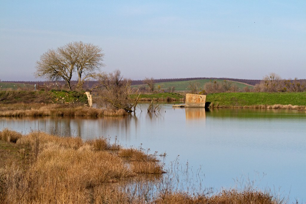
Modesto Reservior

Green hills & Snowy Peaks
Noeller Farm
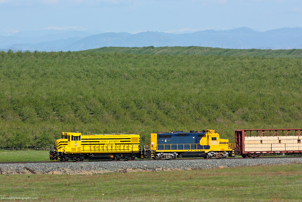
Sierra Northern Rolling Along at Paulsell
Camera Roll-1786

☀

Camera Roll-1784

IMG 1495
Camera Roll-1787
Camera Roll-1785

Mir Industar 22 50mm Ektachrome 64 Daylight | Warnerville Road

Along Highway 108

2012-09-02 14-29-10 N_05071
Heartland Patience
R1-05351-010A
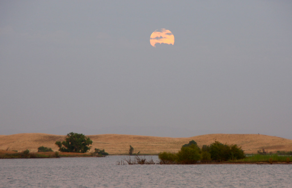
Full Moon Rising

Almond Bloom

Turlock Sunset 2
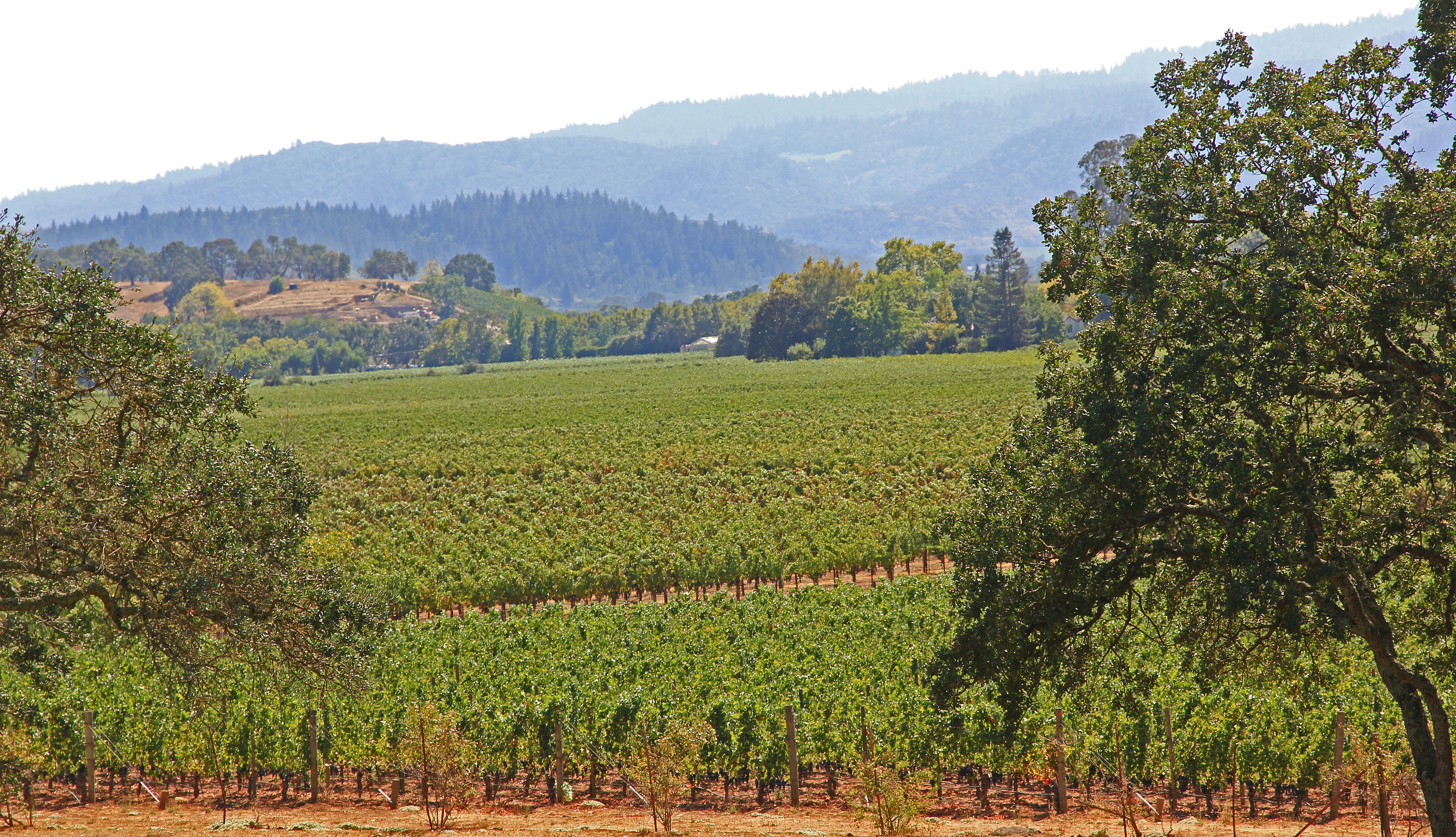
Vines Vines Every Where...

Turlock Lake SRA-20
Topographic Map of Brook Way, Waterford, CA, USA
Find elevation by address:

Places near Brook Way, Waterford, CA, USA:
Coastal Court
13708 Coastal Ct
13708 Coastal Ct
13801 Skyline Blvd
Rivercrest Drive
Harbor Drive
Riverbend Lane
13118 Heather Dr
Waterford
Lake Rd, Hickman, CA, USA
Hickman
336 Denton Rd
Oakdale-Waterford Hwy, Oakdale, CA, USA
11530 Oak Hill Dr
11337 Scarlet Oak Dr
5406 Milnes Rd
Rodden Rd, Oakdale, CA, USA
East Oakdale
Oakdale
1403 E C St
Recent Searches:
- Elevation of Corso Fratelli Cairoli, 35, Macerata MC, Italy
- Elevation of Tallevast Rd, Sarasota, FL, USA
- Elevation of 4th St E, Sonoma, CA, USA
- Elevation of Black Hollow Rd, Pennsdale, PA, USA
- Elevation of Oakland Ave, Williamsport, PA, USA
- Elevation of Pedrógão Grande, Portugal
- Elevation of Klee Dr, Martinsburg, WV, USA
- Elevation of Via Roma, Pieranica CR, Italy
- Elevation of Tavkvetili Mountain, Georgia
- Elevation of Hartfords Bluff Cir, Mt Pleasant, SC, USA