Elevation of Heather Dr, Waterford, CA, USA
Location: United States > California > Stanislaus County > Waterford >
Longitude: -120.75400
Latitude: 37.642776
Elevation: 53m / 174feet
Barometric Pressure: 101KPa
Elevation Map:
Satellite Map:
Related Photos:
On The Outside Looking In

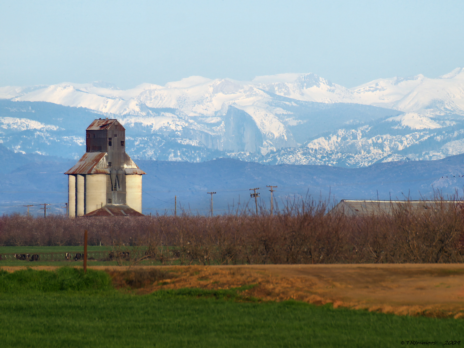
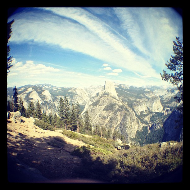
Distant View - Half Dome from 68.99 miles (Merriam and E Taylor roads)

The view from Karen's bluff at Lakewood Cemetery. It's a beautiful place for such a beautiful person. It's very quiet and peaceful here. ..

This Will Outlive Us

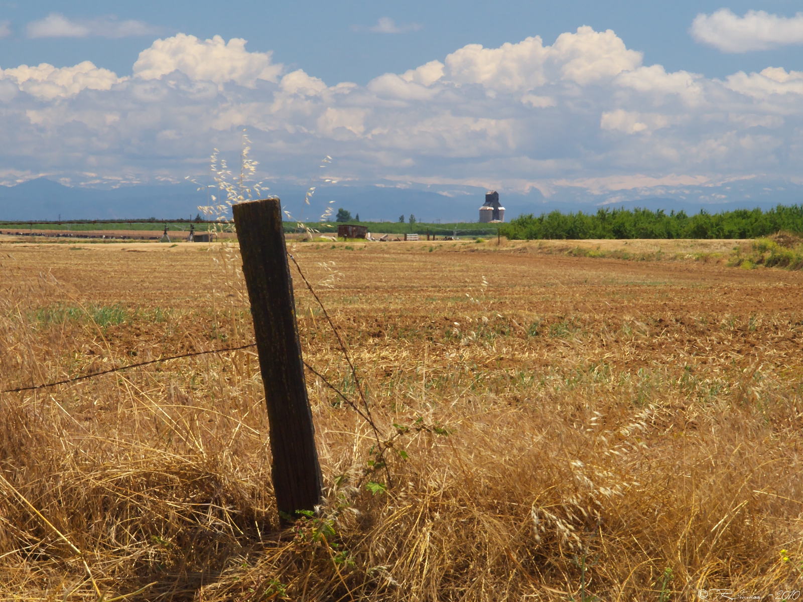
Central Valley
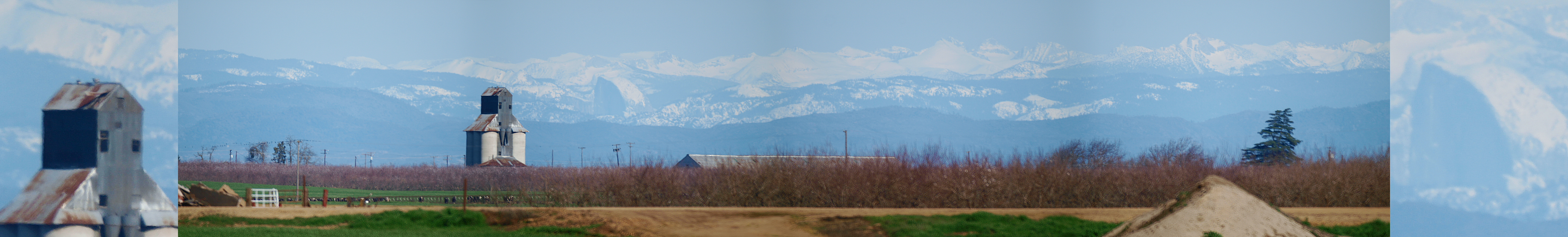
A Return Trip
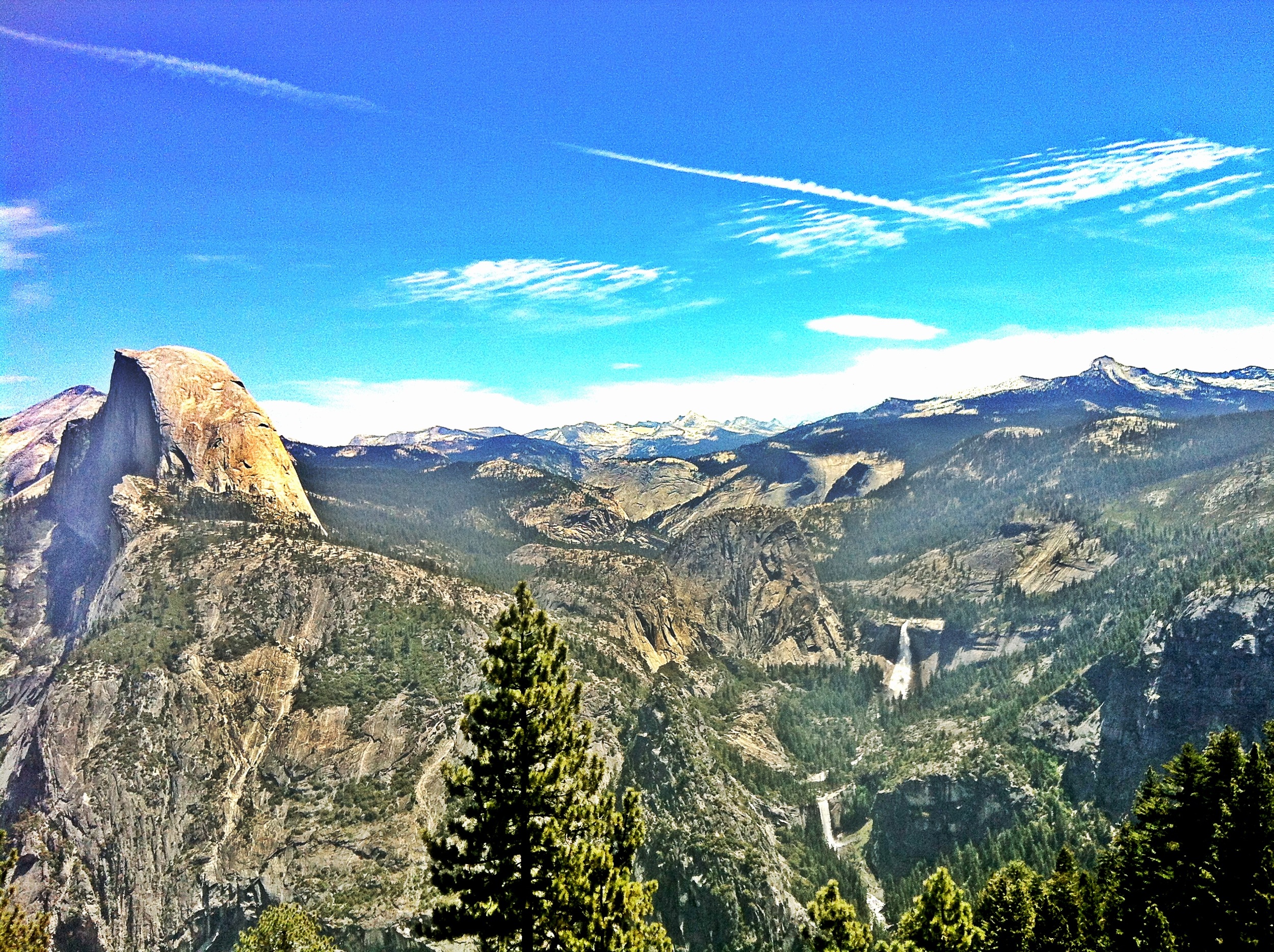
Yosemite NP and Half Dome from Denair, CA
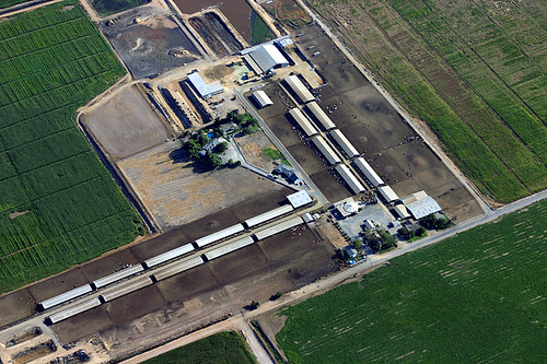
Aerial View of a Cattle Farm

the birds like the one with the best view
Noeller Farm
On the way home from
Camera Roll-1786

☀

Camera Roll-1784
Camera Roll-1787
Camera Roll-1785
Sunrise and Oaktree
Heartland Patience

Oakdale Sunset

_BFW0052_0067 AFS 12_18

R1-05351-010A

Almond Bloom

Turlock Sunset 2
Modesto Reservior

Green hills & Snowy Peaks
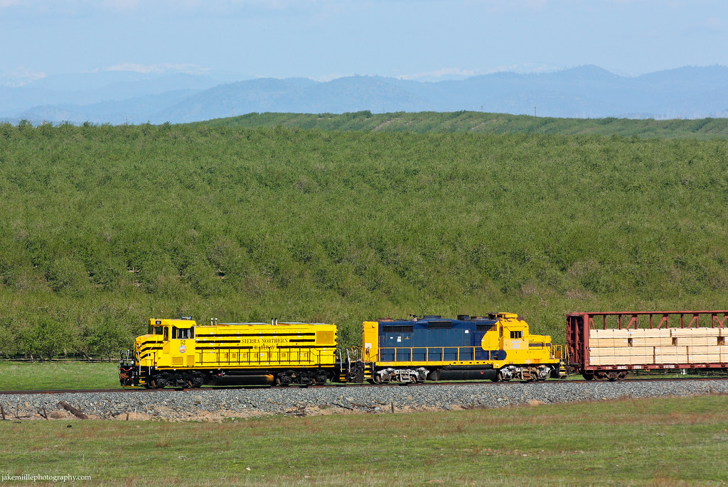
Sierra Northern Rolling Along at Paulsell

IMG 1495

Mir Industar 22 50mm Ektachrome 64 Daylight | Warnerville Road

Along Highway 108
Topographic Map of Heather Dr, Waterford, CA, USA
Find elevation by address:

Places near Heather Dr, Waterford, CA, USA:
Riverbend Lane
Harbor Drive
Waterford
Rivercrest Drive
Brook Way
Coastal Court
13708 Coastal Ct
13708 Coastal Ct
13801 Skyline Blvd
Lake Rd, Hickman, CA, USA
Hickman
336 Denton Rd
Oakdale-Waterford Hwy, Oakdale, CA, USA
11530 Oak Hill Dr
11337 Scarlet Oak Dr
5406 Milnes Rd
Rodden Rd, Oakdale, CA, USA
East Oakdale
Oakdale
1403 E C St
Recent Searches:
- Elevation of Corso Fratelli Cairoli, 35, Macerata MC, Italy
- Elevation of Tallevast Rd, Sarasota, FL, USA
- Elevation of 4th St E, Sonoma, CA, USA
- Elevation of Black Hollow Rd, Pennsdale, PA, USA
- Elevation of Oakland Ave, Williamsport, PA, USA
- Elevation of Pedrógão Grande, Portugal
- Elevation of Klee Dr, Martinsburg, WV, USA
- Elevation of Via Roma, Pieranica CR, Italy
- Elevation of Tavkvetili Mountain, Georgia
- Elevation of Hartfords Bluff Cir, Mt Pleasant, SC, USA