| Latitude: | 44.2339362 |
|---|---|
| Longitude: | -114.2286662 |
| Elevation: | 1907 meters / 6257 feet |
| Barometric Pressure | 804KPa |
Related Photos

Bayhorse Canyon and Mill

Wildflowers. Highest point in Idaho top left center -- Borah Peak
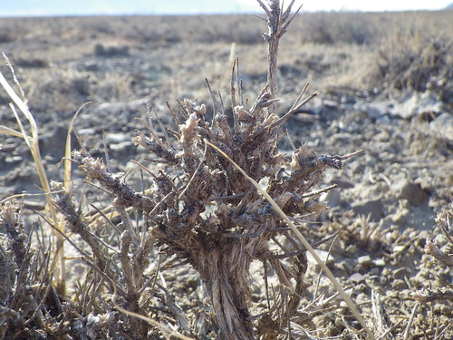
Artemisia spinescens - Grand View Canyon Road cheatgrass sites

Grand View Canyon Road cheatgrass sites

Grand View Canyon Road cheatgrass sites

Grand View Canyon Road cheatgrass sites

Grand View Canyon Road cheatgrass sites

Borah Peak

Grand View Canyon Road cheatgrass sites

Borah and the Lost Rivers

Lost River Range

Approaching Borah

Lost River Range

Challis Trip-15

Photo

Photo

Photo

Winter Fields

A Result of Mixing Incompatible Ice Cream Flavors 2 (Explored 04/15/16)

Toward Willow Creek Summit. East central Idaho
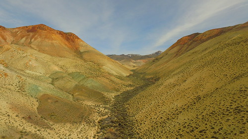
A Result of Mixing Incompatible Ice Cream Flavors 7

Some Gulch Along Highway 75 in Idaho 1
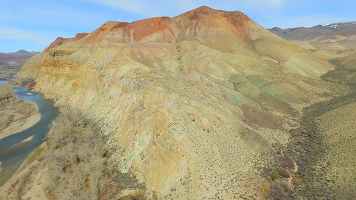
A Result of Mixing Incompatible Ice Cream Flavors 3
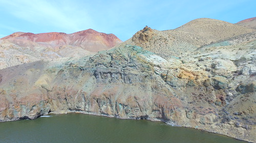
A Result of Mixing Incompatible Ice Cream Flavors 1
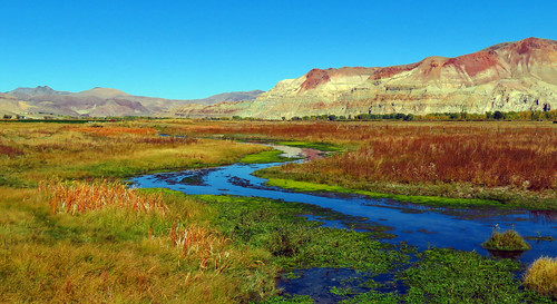
Pennal Gulch (Challis, Idaho) 12

A Result of Mixing Incompatible Ice Cream Flavors 4
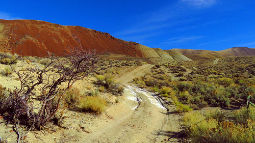
Sometimes, the Road is the Destination 4

Arid hills in Malm Gulch near the Salmon River

Clouds over Borah Peak (left)., elev 12,662 ft., 3860 m.

Early June. Pahsimeroi mountain range
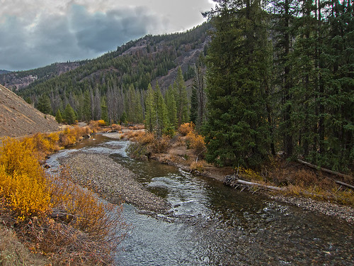
Yankee Fork of the Salmon canyon -- well upstream.

Herd Creek Valley 1

Broken Wagon Creek down to distant Pahsimeroi Mtns.
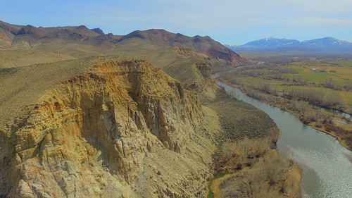
Pennal Gulch (Challis, Idaho) 2

McKay Creek. Autumn with gold and red willowfield

Mountains
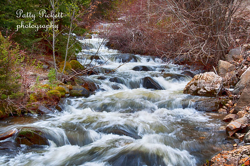
bayhorse creek

Lost River Range #2 - Idaho

Pennal Gulch (Challis, Idaho) 5
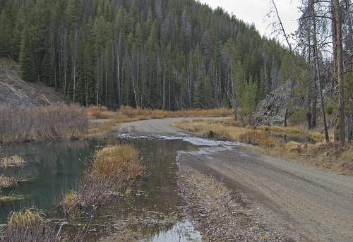
Beaver pond spills onto Yankee Fork Salmon road

Wildflower meadow at the foot of Dickey Peak. Pahsimeroi Range

Dusk. Down Broken Wagon Creek to the Pahsimeroi Range

Dickey Peak. Pahsimeroi Mountains. Idaho

Into the Wild - Idaho

Salmon River Scenic Byway (Idaho State Highway 75) from Stanley to Challis

Thompson Creek Molybdenum Pit Mine

Thompson Creek Mine Tailing Pond

Idaho - Storm - June 1975
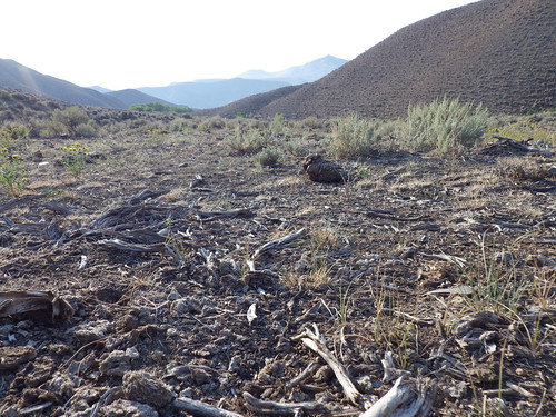
Challis Idaho cheatgrass sites

Challis Idaho cheatgrass sites