Elevation of East Fork Road, E Fork Rd, Idaho, USA
Location: United States > Idaho > Custer County > Mackay >
Longitude: -113.96339
Latitude: 43.891269
Elevation: 2221m / 7287feet
Barometric Pressure: 77KPa
Elevation Map:
Satellite Map:
Related Photos:

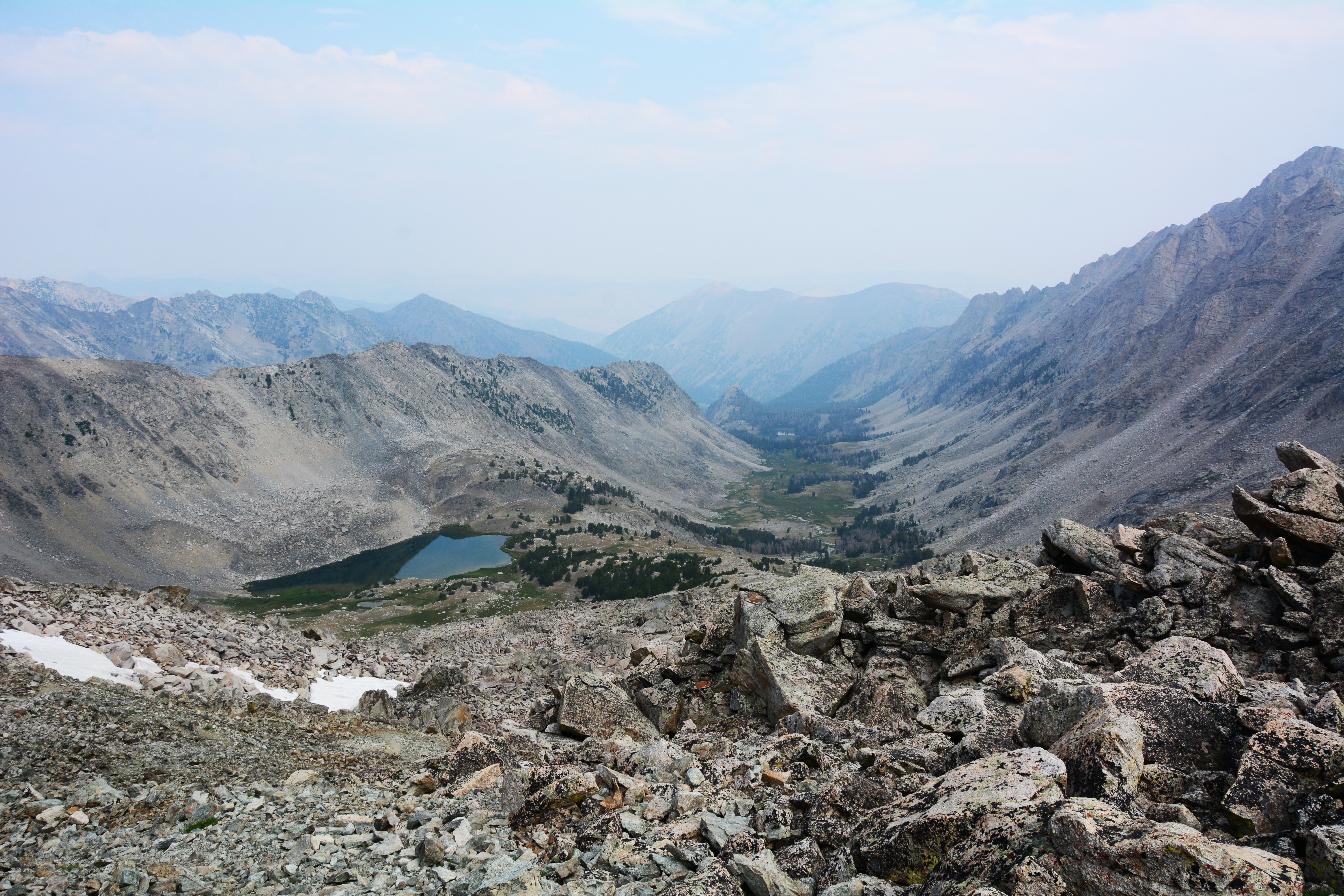
Telephoto view up Fall Creek Canyon from near mouth of its Left Fork

20181019-FS-SCNF-JJS-001.jpg

Copper Basin View

Hyndman & Me

Coppery Peak (1405)

Trail Creek Road: Wyoming big sagebrush steppe

Copper Basin Road (1406)

Betty Lake Behind the Rocks

Glacial pond - Copper Basin, Idaho

Pioneer Alpenglow Pano - 1260-1268

Surprise Valley Sunset Haze

Bite Me Alpenglow - 1258
Lost River Range
Shunned and Isolated Tree (1416)
Early Alpenglow - 1251

Green Lake Trail

Altair Peak + Betty Lake - 1323-1324

Sagebrush Gulch (1402)

Standhope Peak + Goat Lake Pano - 1354-1357

160810 Lost River
Goat Lake + Standhope Peak Pano
Surprise Valley
Topographic Map of East Fork Road, E Fork Rd, Idaho, USA
Find elevation by address:

Places near East Fork Road, E Fork Rd, Idaho, USA:
Copper Basin Camp
Wild Horse Creek Ranch
4765 Twin Bridges Creek Rd
Duncan's Peak
Boundary Campground
420 Juniper Rd
404 Fairway Loop
Village Way, Hailey, ID, USA
Angani Way
109 Angani Way
7000 E Fork Rd
White Clouds
Sun Valley
Sun Valley Ski Club
Sun Valley Lodge
445 Clubhouse Dr
57 E Ln Ranch Rd
105 Boulder View Ln
601 S Leadville Ave
Leadville Ave, Sun Valley, ID, USA
Recent Searches:
- Elevation of Corso Fratelli Cairoli, 35, Macerata MC, Italy
- Elevation of Tallevast Rd, Sarasota, FL, USA
- Elevation of 4th St E, Sonoma, CA, USA
- Elevation of Black Hollow Rd, Pennsdale, PA, USA
- Elevation of Oakland Ave, Williamsport, PA, USA
- Elevation of Pedrógão Grande, Portugal
- Elevation of Klee Dr, Martinsburg, WV, USA
- Elevation of Via Roma, Pieranica CR, Italy
- Elevation of Tavkvetili Mountain, Georgia
- Elevation of Hartfords Bluff Cir, Mt Pleasant, SC, USA